Striding Edge

A photo diary of Lake District fell walks

  • Walks
  • Fells
    • Wainwrights
      • Eastern Fells
      • Far Eastern Fells
      • Central Fells
      • Southern Fells
      • Northern Fells
      • North Western Fells
      • Western Fells
      • Outlying Fells
    • Birketts
  • Dogs
  • Love The Lakes
  • Contact

Gummer’s How

Walked on 04/01/2005

Start point: Gummer’s How Car Park (SD 390 877)

Gummer’s How Car Park – Gummer’s How (OF) – Gummer’s How Car Park

Weather: Sunny with a cold wind.

Today’s walk is a visit to Gummer’s How which is detailed in Wainwright’s Gummer’s How chapter in his book ‘The Outlying Fells of Lakeland’, page 44. After a very wet morning, surprisingly the sun shone in the afternoon – it was just too god to miss an opportunity for this short walk.

‘Here is a fellwalk in miniature, a little beauty, with heather, a few rocks to scramble on, soft couches for repose, a classic view and a rustic Ordnance column – just like the real thing.’ – AW: ‘The Outlying Fells of Lakeland’

Gummer's How profile

Elevation profile of the route.

Gummer's How

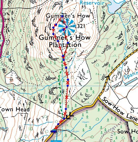
Gummer's How route map.

Dsc03516

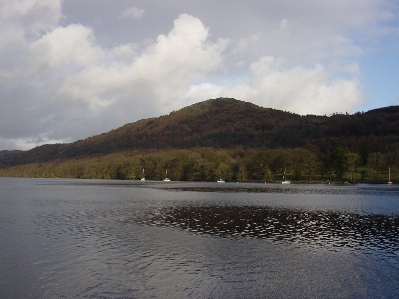
Gummer's How from Lakeside.

Dsc03519

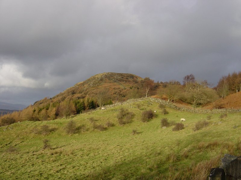
The approach to Gummer's How.

Dsc03520

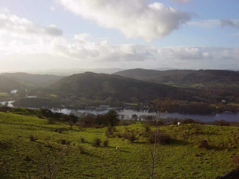
Looking across to Lakeside and Finsthwaite Heights.

Dsc03533

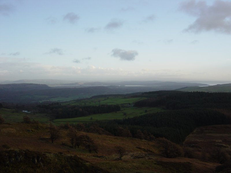
The Kent Estuary from the ascent of Gummer's How.

Dsc03539

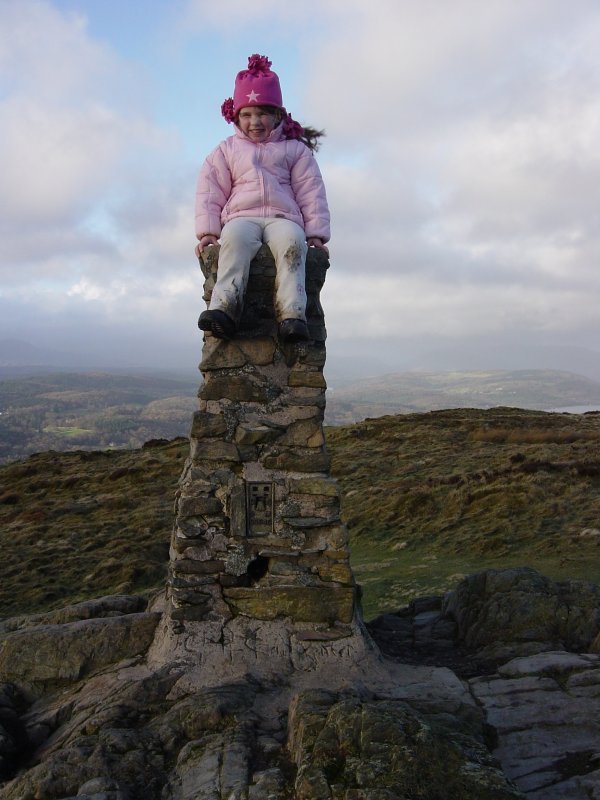
The rustic Ordnance column...with young addition.

Dsc03545

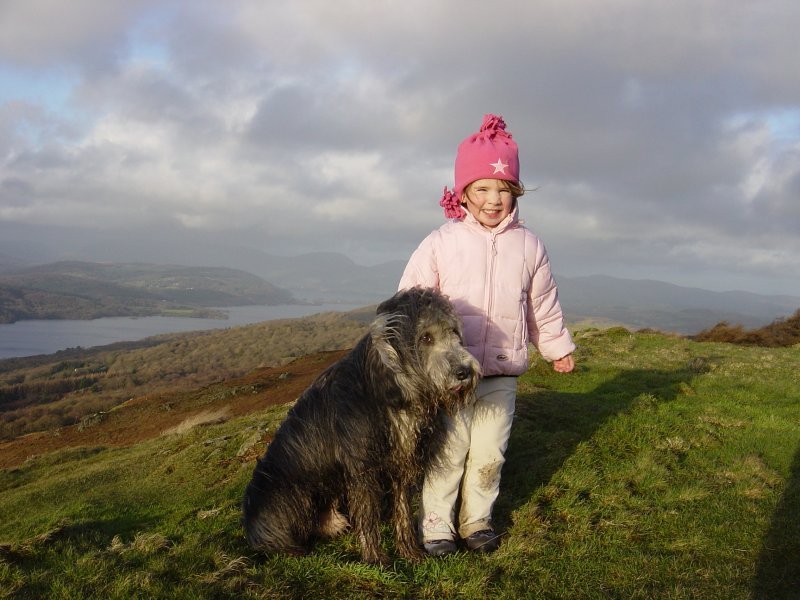
Connie and Angus enjoy the view.

Dsc03547

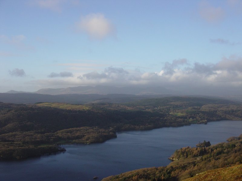
The Coniston Fells across Windermere.

Dsc03553

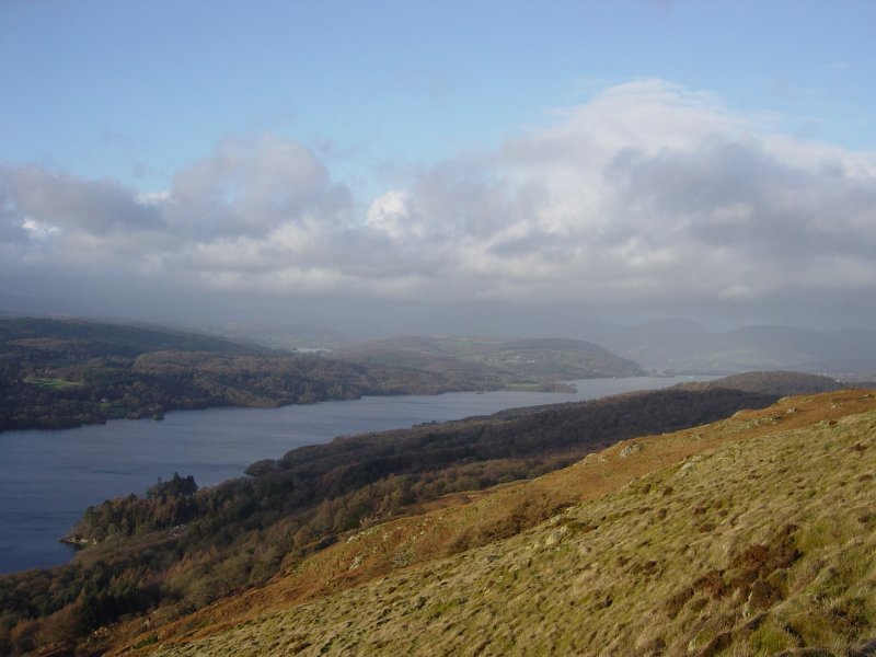
Looking north to the head of Windermere, Esthwaite Water can be seen left of centre above Windermere.

Share this…


  • Facebook


  • Twitter


  • Messenger


  • Whatsapp


  • Email

Previous walk Next walk

Walking Diary

  • The Mosedale Horseshoe 01/03/2022
  • Caw 18/01/2022
  • Coniston sunset 17/01/2022
  • Blencathra 15/01/2022
  • Scafell Pike 14/01/2022

Social

  • Facebook
  • Twitter

Information

  • Striding Edge
  • T&C’s
  • Privacy
  • Links