Striding Edge

A photo diary of Lake District fell walks

  • Walks
  • Fells
    • Wainwrights
      • Eastern Fells
      • Far Eastern Fells
      • Central Fells
      • Southern Fells
      • Northern Fells
      • North Western Fells
      • Western Fells
      • Outlying Fells
    • Birketts
  • Dogs
  • Love The Lakes
  • Contact

Blea Rigg

Walked on 09/01/2007

Start point: Grasmere (NY 337 074)

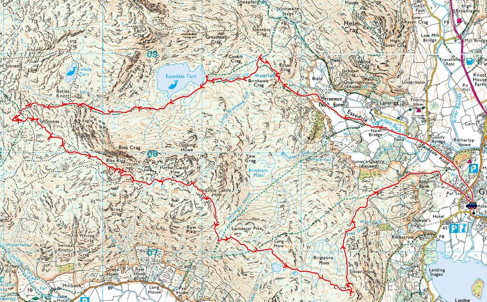
Grasmere – Easedale – Easedale Tarn – Blea Rigg – Silver How – Grasmere

Distance: 9 miles    Total Ascent: 650 metres     Time Taken: 3 hours 40 minutes.

Weather: Windy and surprisingly warm. 11°C

The cobwebs were well and truly blown off today for my first long walk of the year. It was good to get out again, even though I knew the weather was not going to be the best. It was more than a bit blustery at times, but at least I never got wet on the deserted central fells today!
Blea Rigg

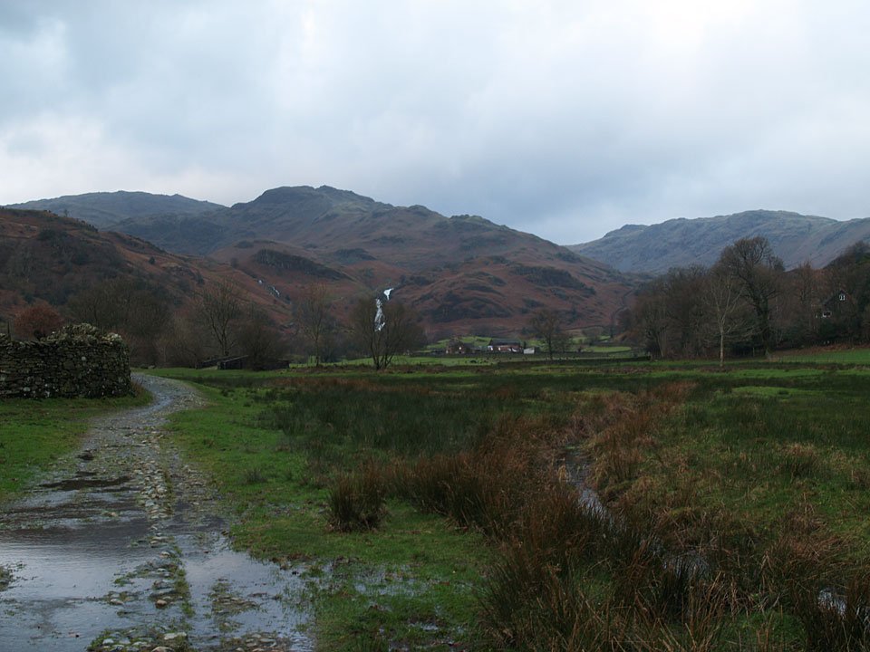
09.01.07-003

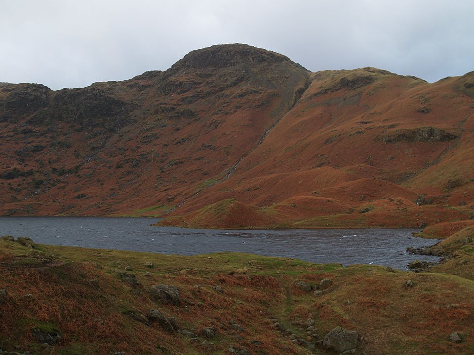
It's looking a bit grey over Tarn Crag from Easedale. The falls on Sour Milk are in the centre.

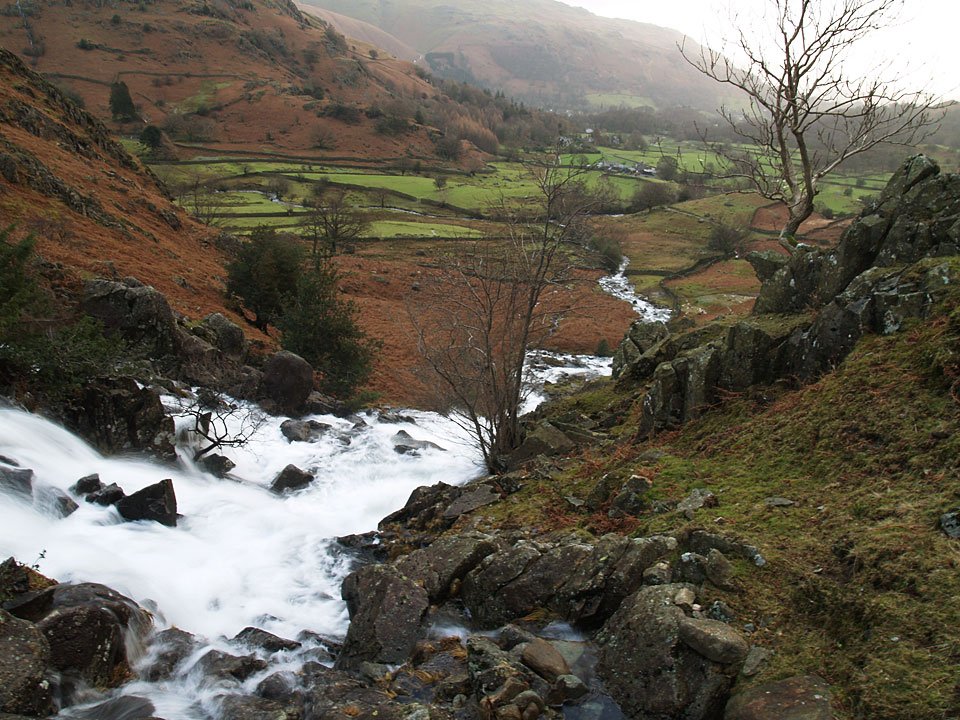
09.01.07-007

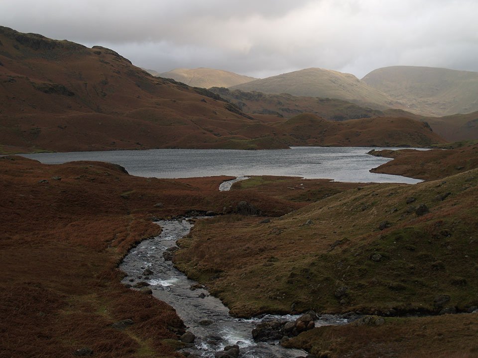
...and looking back to Easedale from the falls.

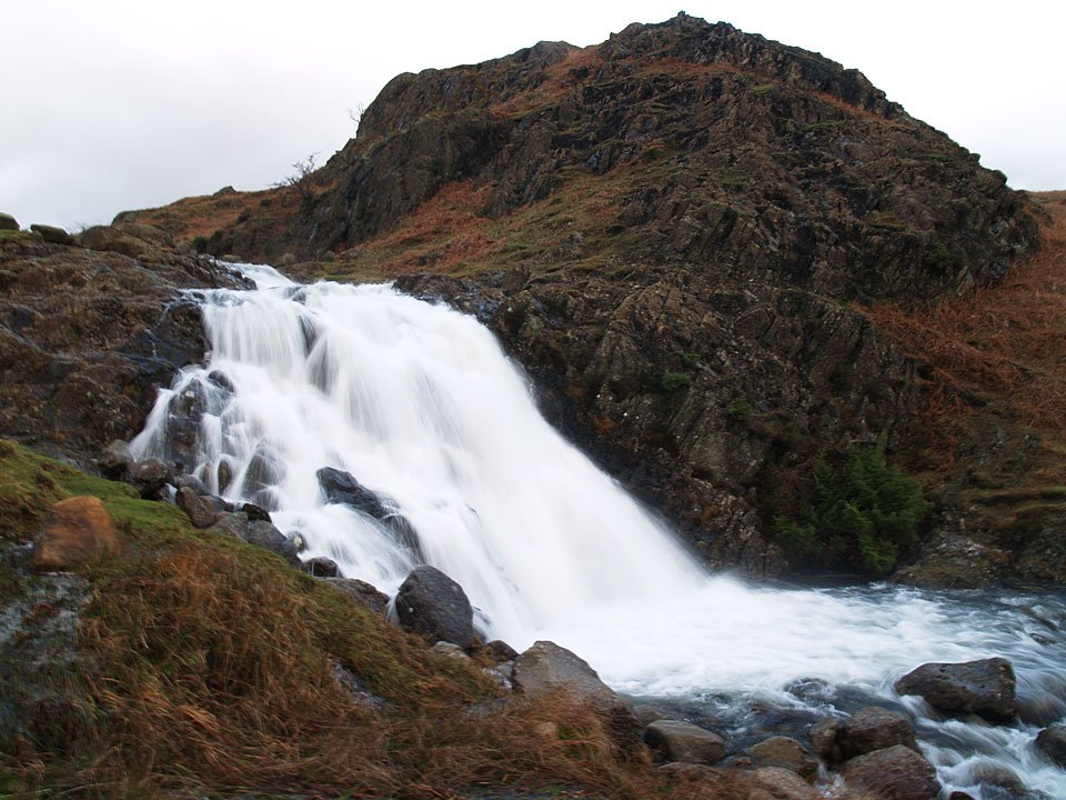
09.01.07-010

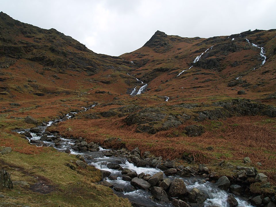
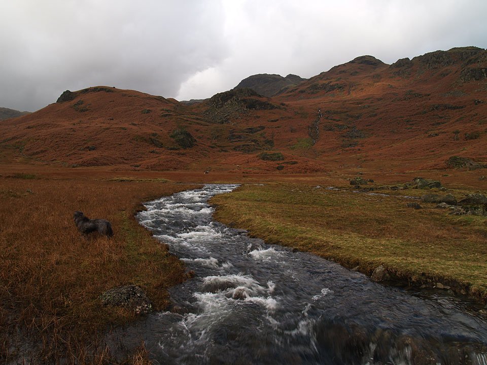
The falls are in spate today after all he rain of the last week or so.

09.01.07-016

I had intended crossing Sour Milk Gill here, above the falls, but there was no chance with it being this full. Tarn Crag is in the distance.
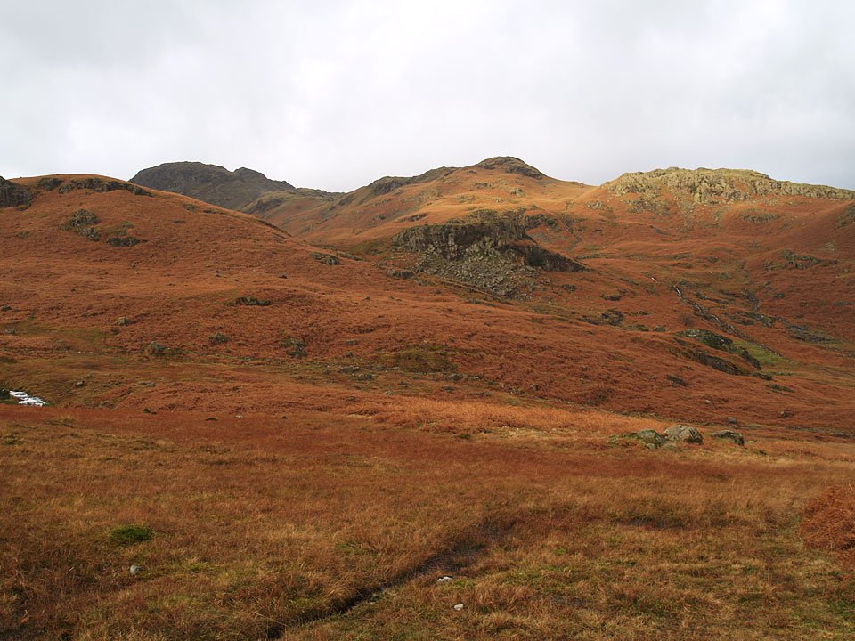
09.01.07-018

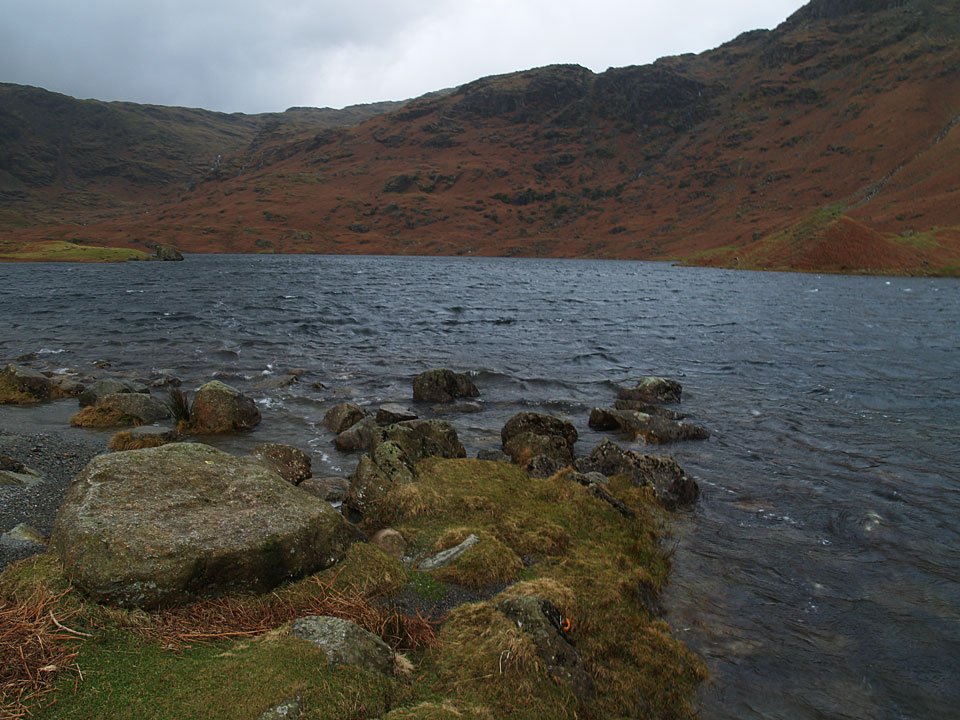
A bit of sunshine over the east ridge to Tarn Crag.

09.01.07-021

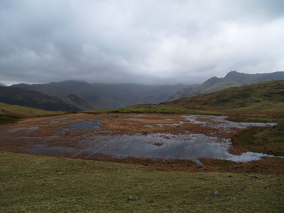
Tarn Crag over Easedale Tarn.

09.01.07-031

No chance of crossing Sourmilk Gill here on the edge of Easedale Tarn either, the stepping stones were completely covered. A change of plan was required!
09.01.07-038

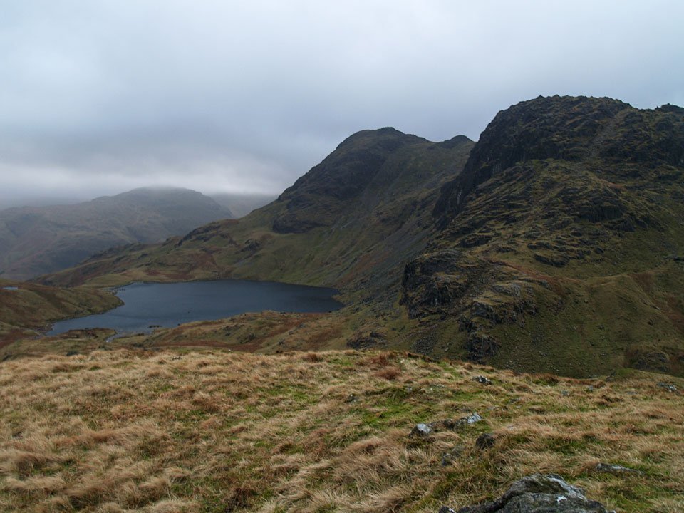
Looking back to Easedale Tarn to Seat Sandal and Fairfield.

09.01.07-044

Walking towards Belles Knott.

09.01.07-054

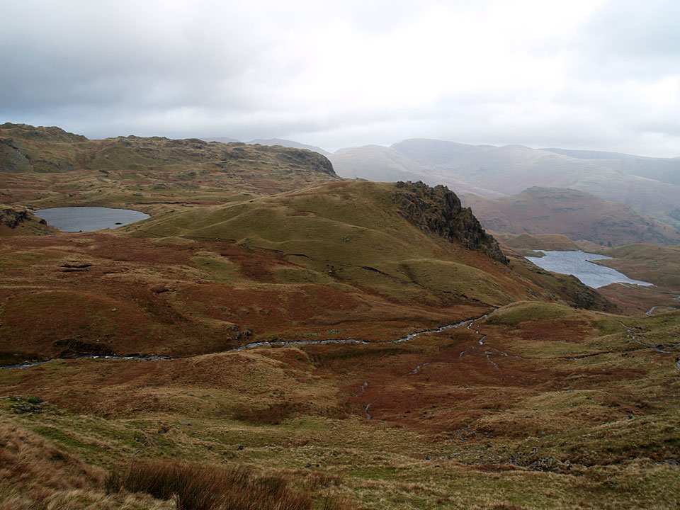
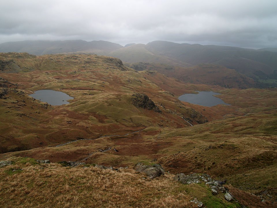
Codale Tarn, left and Easedale Tarn, right, split by Belles Knott.

09.01.07-058

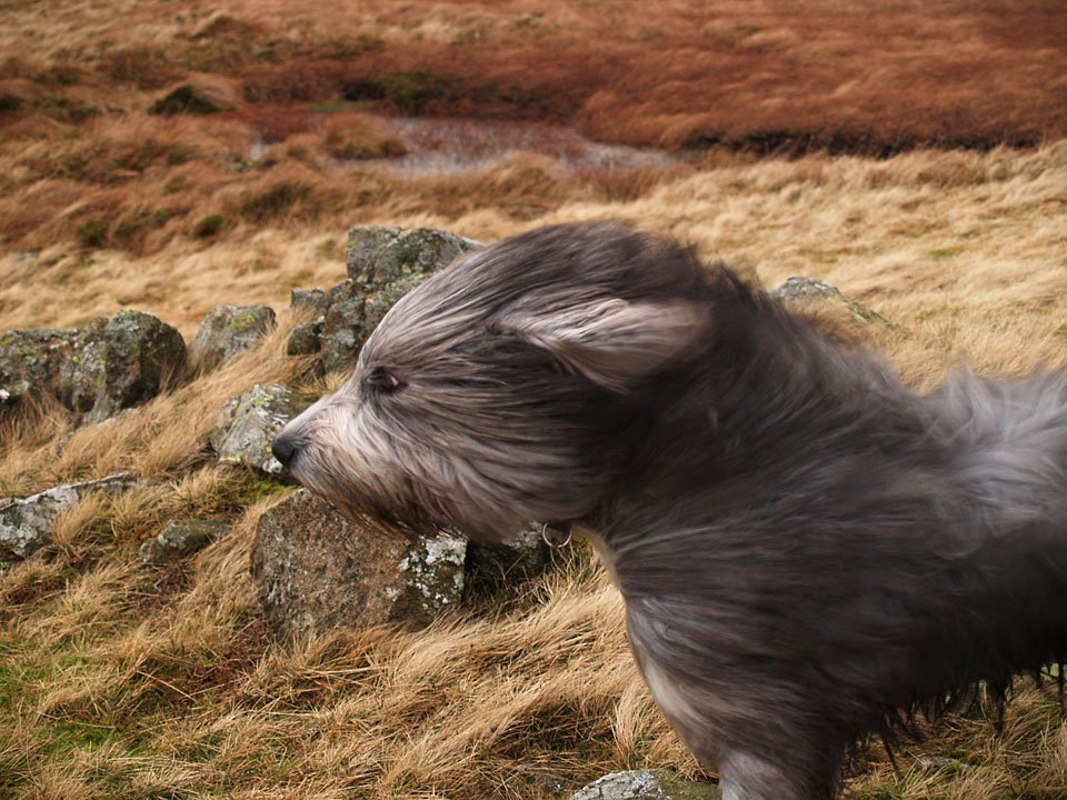
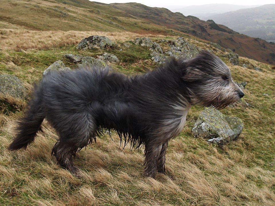
As soon as we got onto the Blea Rigg ridge, the wind really whipped up and made walking difficult at times. This is a great view of Harrison Stickle, Pavey Ark and Stickle Tarn but it is hard to convey just how windy it was..

09.01.07-078

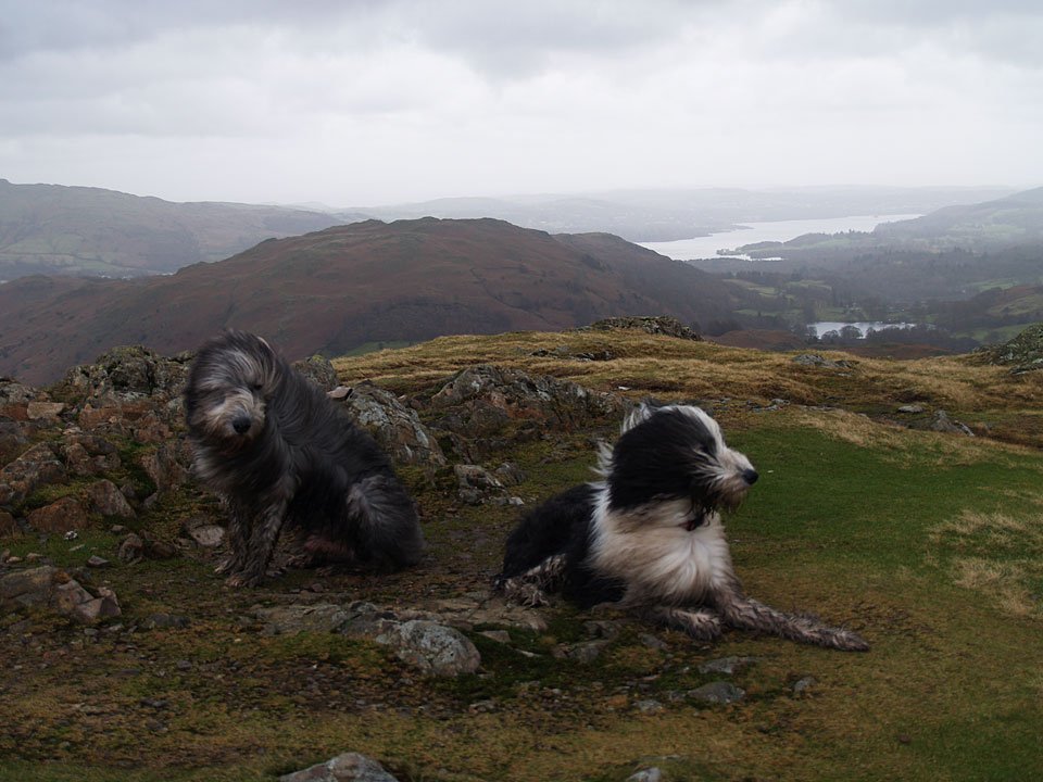
...but Angus can do a pretty good job!

09.01.07-067

Another view of Codale Tarn and Easedale Tarn from higher up, the eastern fells mainly clear for now.

09.01.07-082

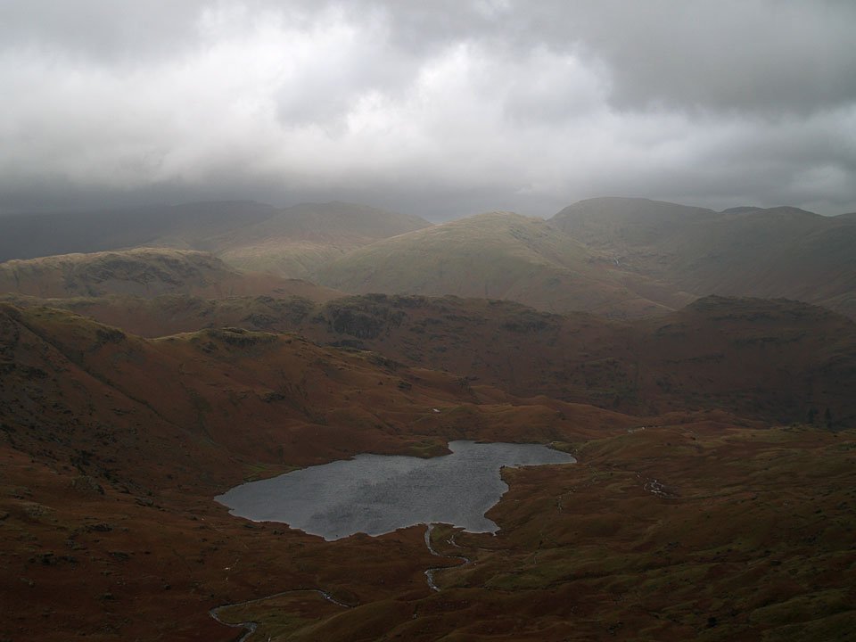
Easedale Tarn.

09.01.07-086

On the summit of Blea Rigg.

09.01.07-089

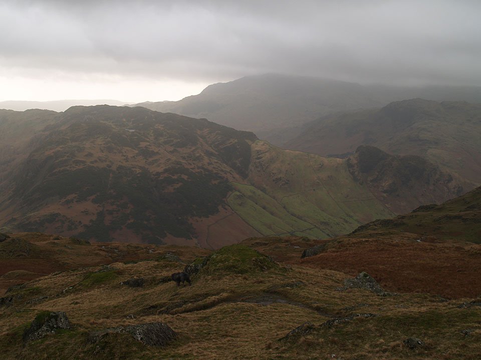
Lingmoor Fell and Side Pike across Langdale from Blea Rigg, Lingmoor Tarn visible below the summit.

09.01.07-098

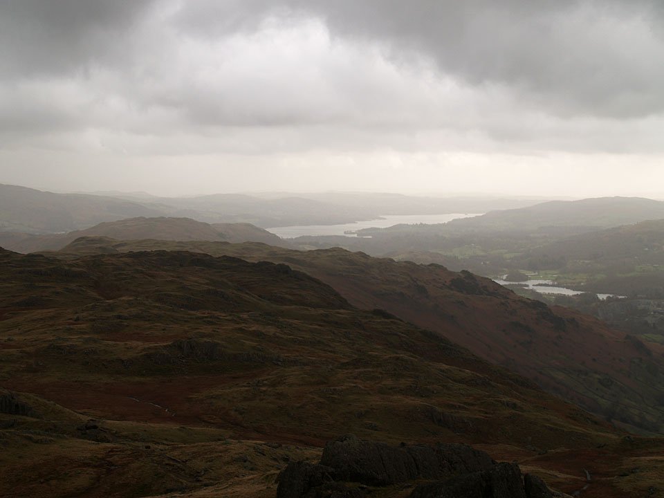
Looking along the ridge to Silver How with Windermere beyond, Elter Water to the right.

09.01.07-103

Looking across to Seat Sandal and Fairfield.

09.01.07-108

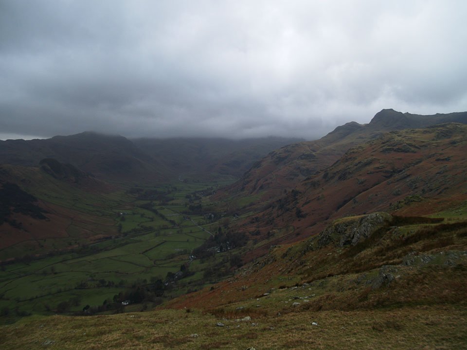
Great Langdale.

09.01.07-113

Angus looking into Great Langdale - still doing a great job of showing conditions up here!

09.01.07-114

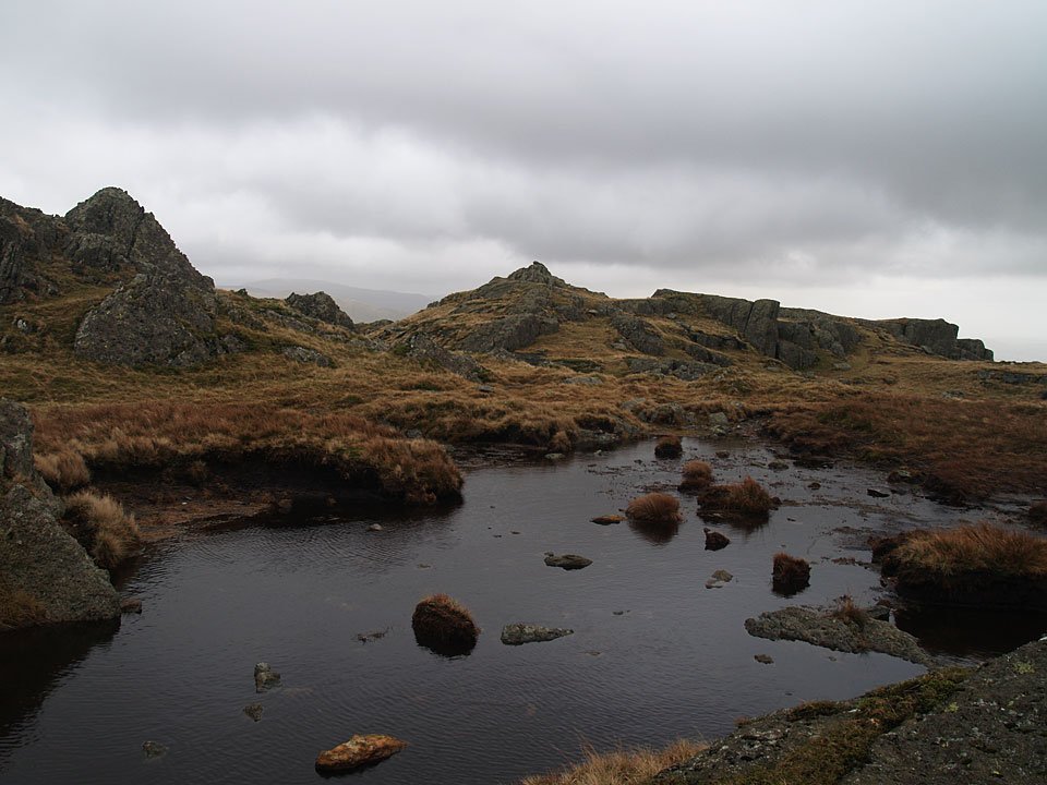
Looking to Great Langdale from the large tarn below Lang How.

09.01.07-119

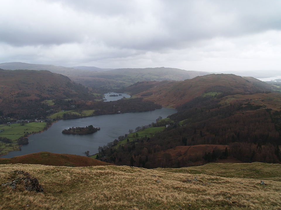
Water, water, everywhere. Grasmere, Rydal Water, Loughrigg Fell and Windermere.

Silver How

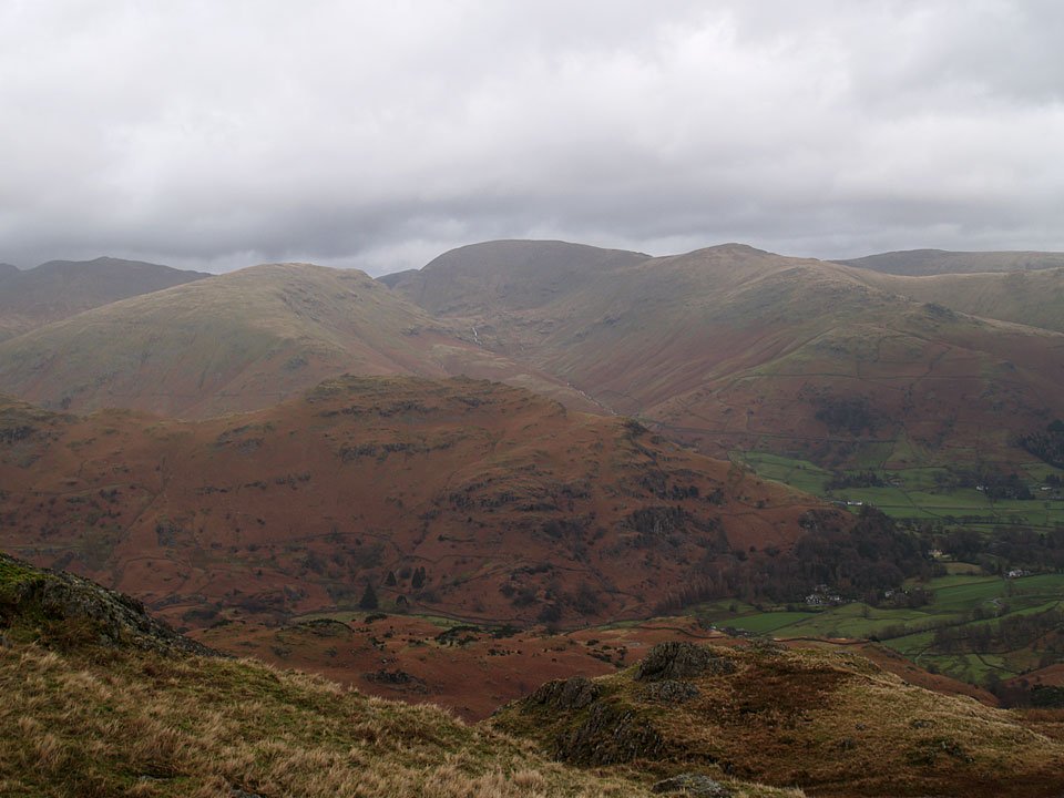
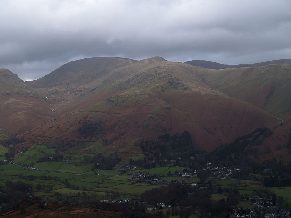
Fairfield, Great Rigg and Stone Arthur above Grasmere from Silver How.

09.01.07-133

Angus and Casper on Silver How looking to Windermere.

09.01.07-135

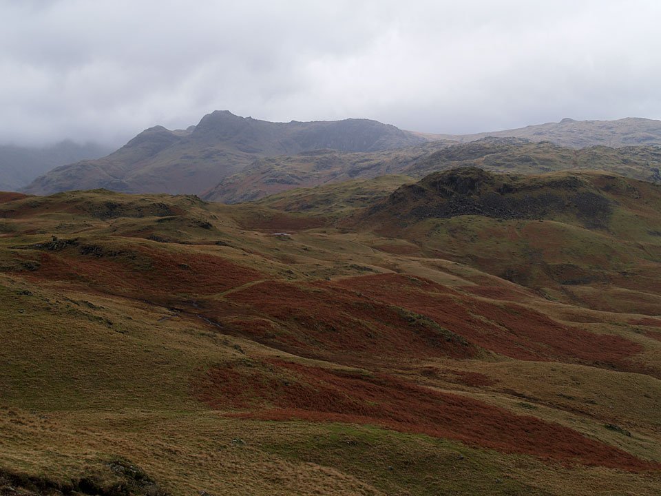
Looking back to the Langdale Pikes from Silver How with Sergeant Man the distant bump to the right.

09.01.07-138

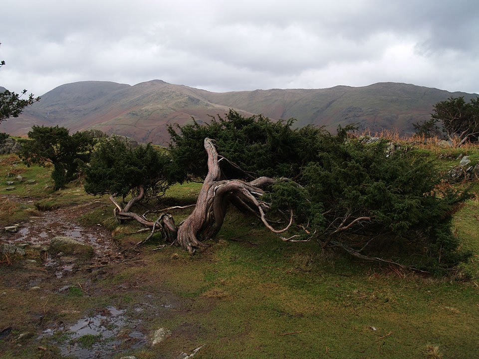
Descending to Grasmere through the Juniper trees.

Share this…


  • Facebook


  • Twitter


  • Messenger


  • Whatsapp


  • Email

Previous walk Next walk

Walking Diary

  • Devoke Water 25/08/2025
  • Torver Common 24/08/2025
  • Meet Finlay! 23/08/2025
  • Walla Crag 27/03/2025
  • Bowfell 19/03/2025

Social

  • Facebook
  • Twitter

Information

  • Striding Edge
  • T&C’s
  • Privacy
  • Links