Striding Edge

A photo diary of Lake District fell walks

  • Walks
  • Fells
    • Wainwrights
      • Eastern Fells
      • Far Eastern Fells
      • Central Fells
      • Southern Fells
      • Northern Fells
      • North Western Fells
      • Western Fells
      • Outlying Fells
    • Birketts
  • Dogs
  • Love The Lakes
  • Contact

Black Fell

Walked on 18/01/2007

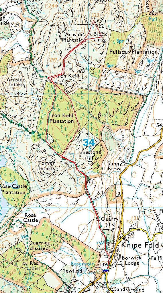
Start point: Knipe Fold (SD 391 994)

Black Fell from Knipe Fold

Distance: 3.4 miles     Total Ascent: 215 metres     Time Taken: 1 hour 15 minutes

Weather: Very windy with showers. 9°C

This morning it was as windy as yesterday, similar to conditions all over the country I expect. Today’s walk was relatively low to try and keep out of the worst of the weather. The track we used to get to Black Fell is relatively sheltered so that was not so bad; once out onto the open fellside, however, it was a different story as we were battered by the constant wind and returned in driving rain.
Black-Fell

18.01.07-001

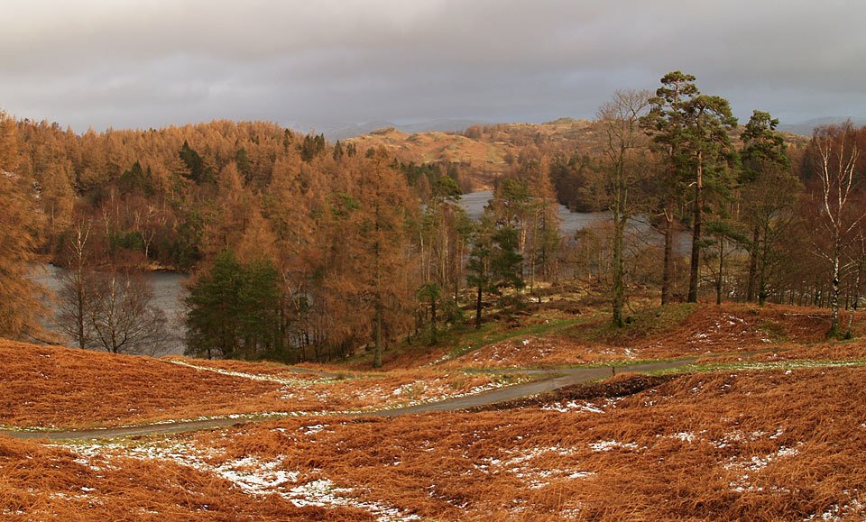
First stop today was Tarn Hows to check out the conditions. There were leaden skies beyond The Tarns today.
18.01.07-004

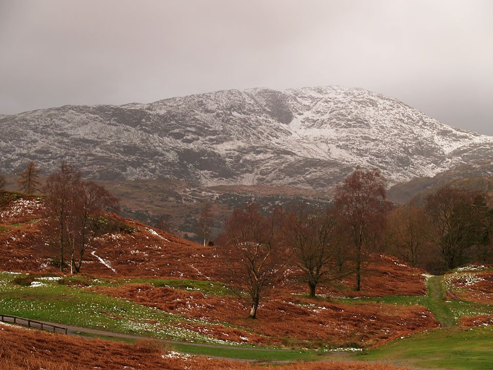
Wetherlam looming large.

18.01.07-014

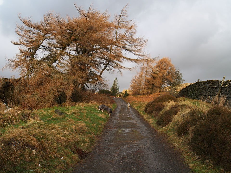
Walking the track from Knipe Fold to Black Fell - there was even some sunshine

18.01.07-015

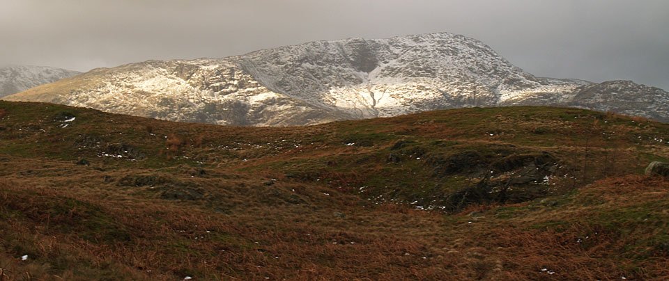
Up onto Black Fell and Wetherlam gets some sun.

18.01.07-017

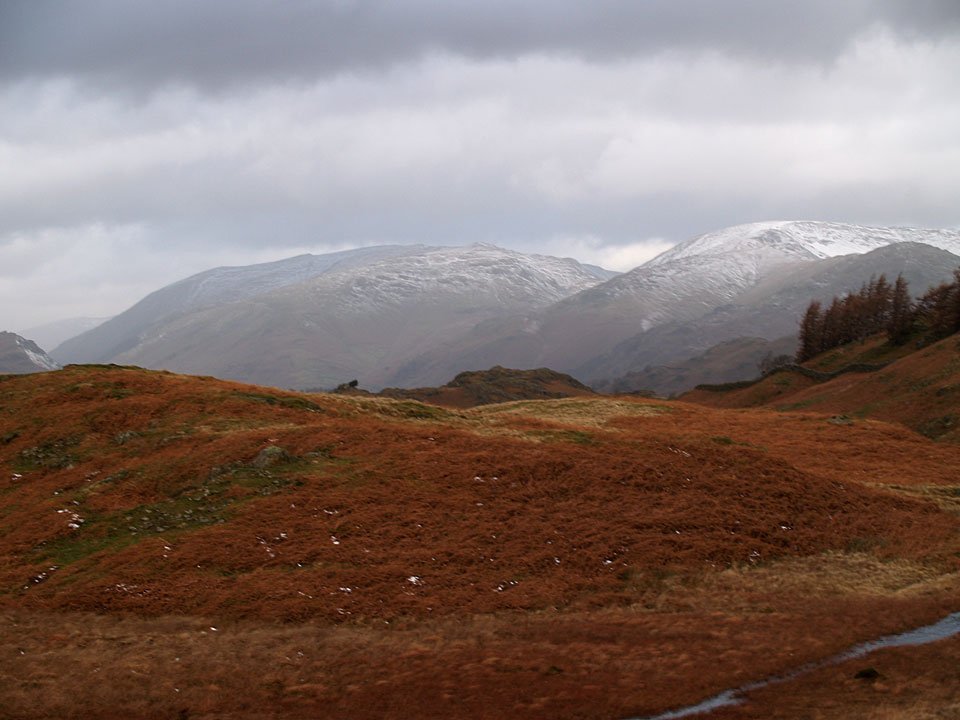
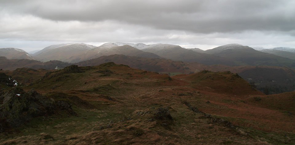
The Helvellyn ridge and Fairfield.

18.01.07-023

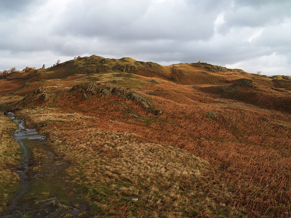
Heading for Black Crag, the summit of Black Fell. The trig. column is to the highest point on the left and on the right is the south-east cairn.

18.01.07-040

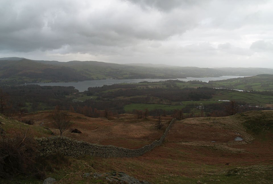
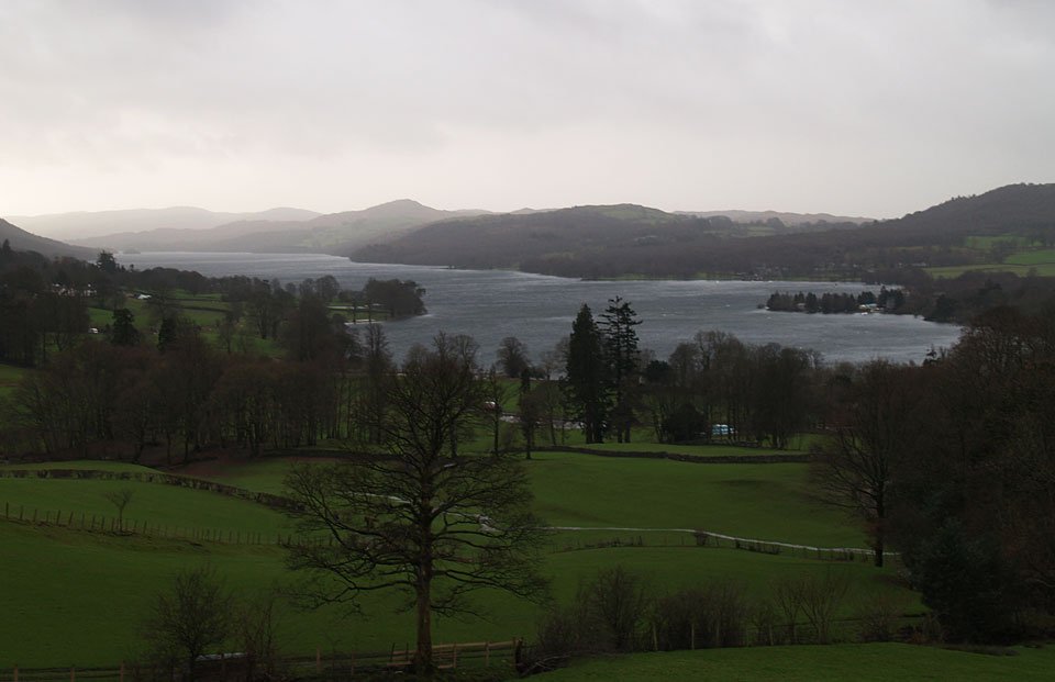
Windermere from Black Crag.

18.01.07-052

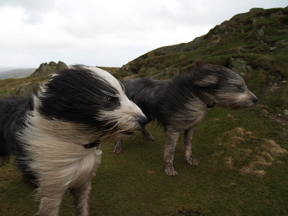
Really strong winds up here today!

18.01.07-057

Looking north from Black Fell to Helvellyn, the Fairfield Horseshoe and Red Screes.

18.01.07-068

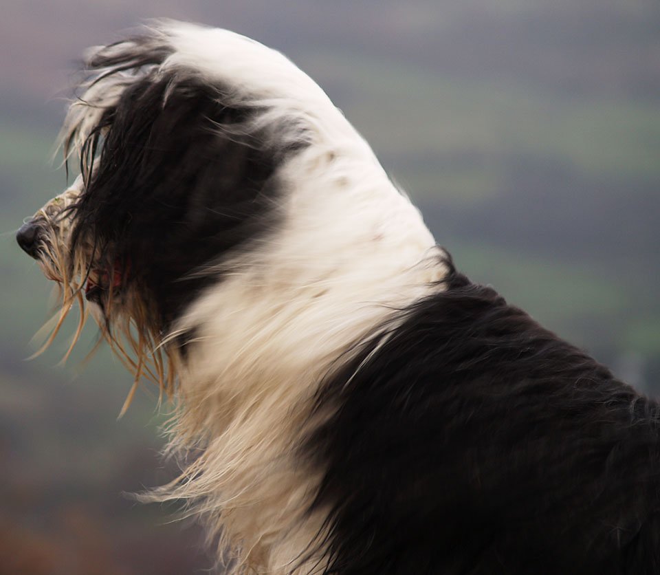
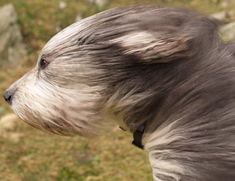
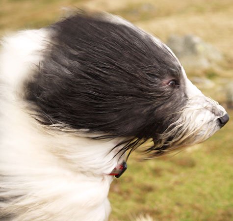
Casper keeps his back to the wind, spying something down below.

18.01.07-078

18.01.07-080

18.01.07-081

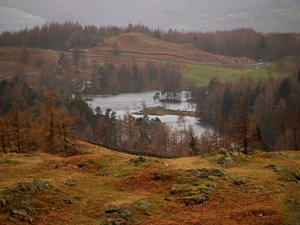
Tarn Hows.

18.01.07-083

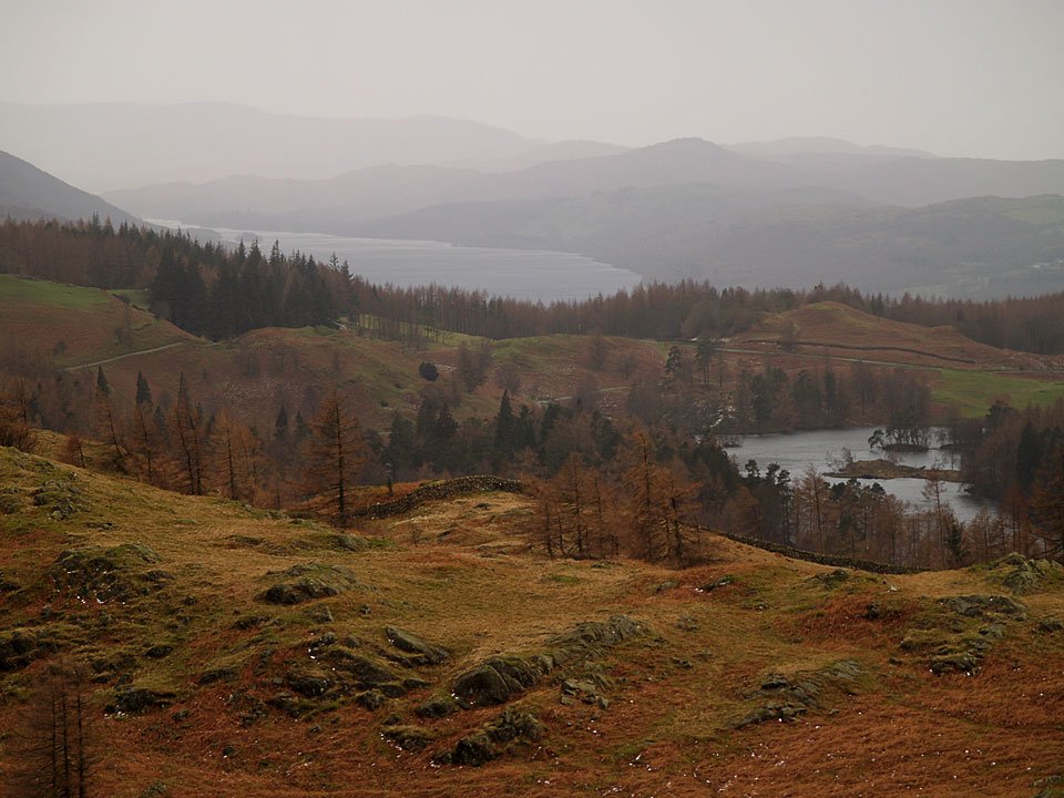
Coniston Water and Tarn Hows.

18.01.07-088

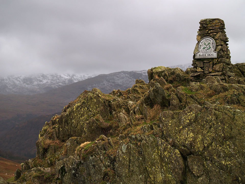
Black Crag, the summit of Black Fell - no mistaking this one.

18.01.07-093

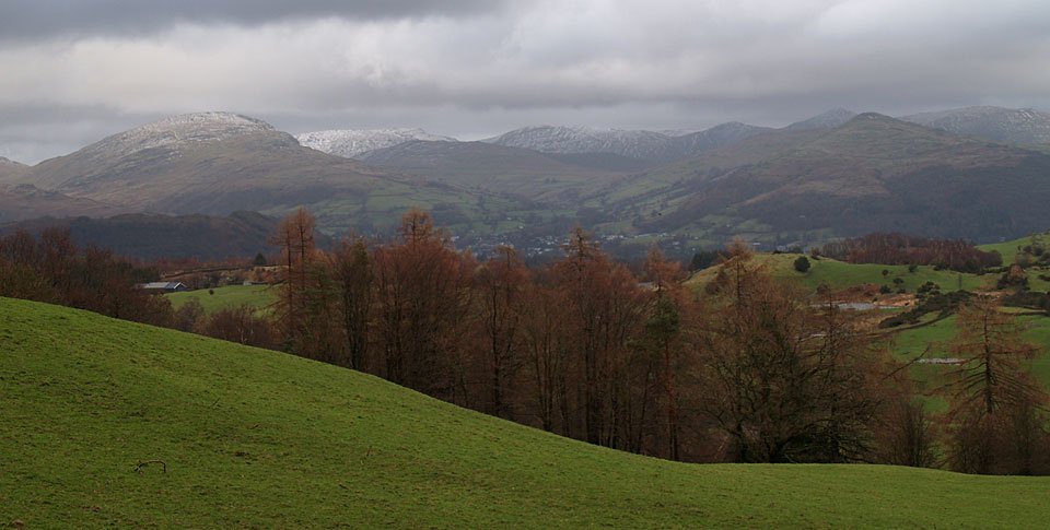
Wansfell Pike on the right with Ambleside nestling between them. Beyond are the eastern fells with the familiar outline of Ill Bell and Froswick behind Wansfell Pike.

18.01.07-096

A windswept Coniston Water from High Hollin Bank.

Share this…


  • Facebook


  • Twitter


  • Messenger


  • Whatsapp


  • Email

Previous walk Next walk

Walking Diary

  • The Mosedale Horseshoe 01/03/2022
  • Caw 18/01/2022
  • Coniston sunset 17/01/2022
  • Blencathra 15/01/2022
  • Scafell Pike 14/01/2022

Social

  • Facebook
  • Twitter

Information

  • Striding Edge
  • T&C’s
  • Privacy
  • Links