Striding Edge

A photo diary of Lake District fell walks

  • Walks
  • Fells
    • Wainwrights
      • Eastern Fells
      • Far Eastern Fells
      • Central Fells
      • Southern Fells
      • Northern Fells
      • North Western Fells
      • Western Fells
      • Outlying Fells
    • Birketts
  • Dogs
  • Love The Lakes
  • Contact

Caw

Walked on 24/02/2006

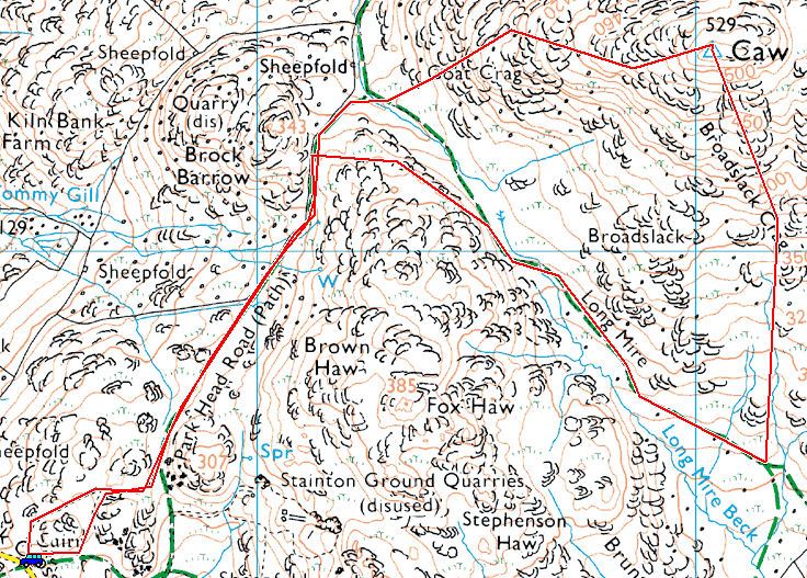
Start point: Kiln Bank Cross (SD 215 933)

Kiln Bank Cross – Park Head Road – Long Mire – Caw (OF) – Park Head Road – Kiln Bank Cross

Distance: 3.5 miles     Total Ascent: 300 metres     Time Taken: 1 hour 30 minutes

Weather: Grey, dull and a bitterly cold wind with the odd sunny spell. 3°C

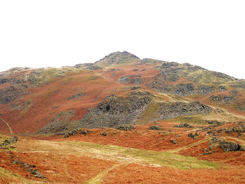
I managed to have a short walk up to Caw this lunchtime; the wind was biting and the weather was constantly changing with quick moving clouds and showers. The views were non-existent at the summit, yet by the time I had descended less than 100 metres, the views were suddenly revealed.
Caw

24.02.06-004

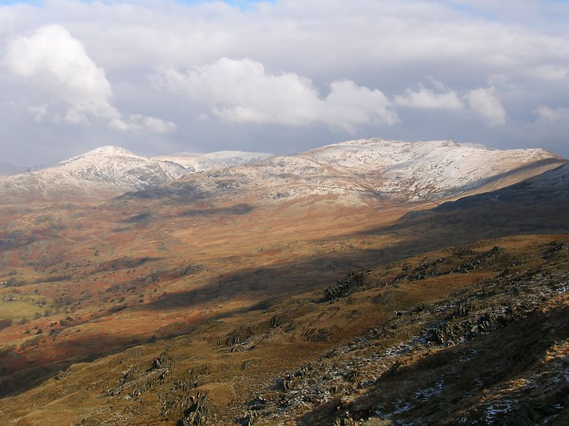
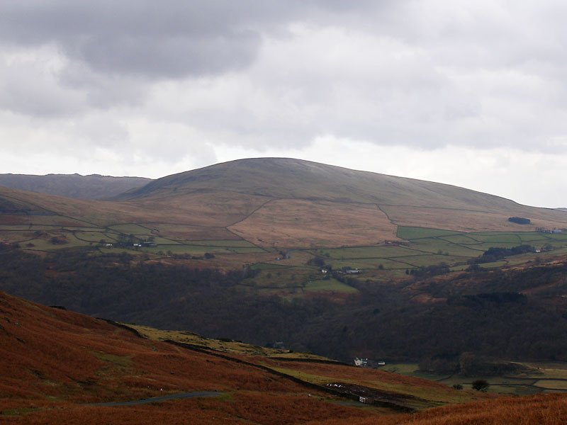
Looking across the Duddon Valley to Hesk Fell. Even this lowly fell has a slight dusting of snow on top.
24.02.06-013

There was a bitterly cold wind at Long Mire.

24.02.06-043

...and it was even colder on the summit of Caw.

24.02.06-046

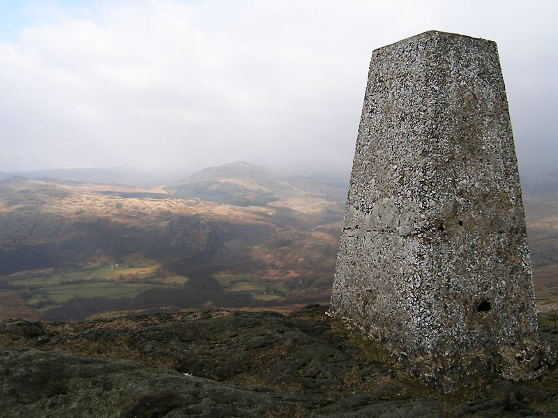
I had almost given up hope of any views today, it was so grey and dull when I reached the summit. You can just about make out Harter Fell beyond the trig column and the view to the nearby Coniston fells wasn't much better.
24.02.06-047

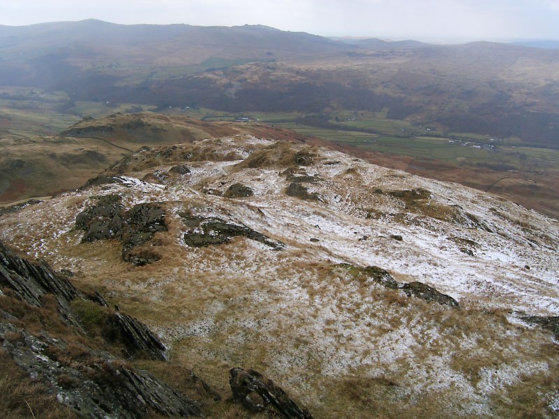
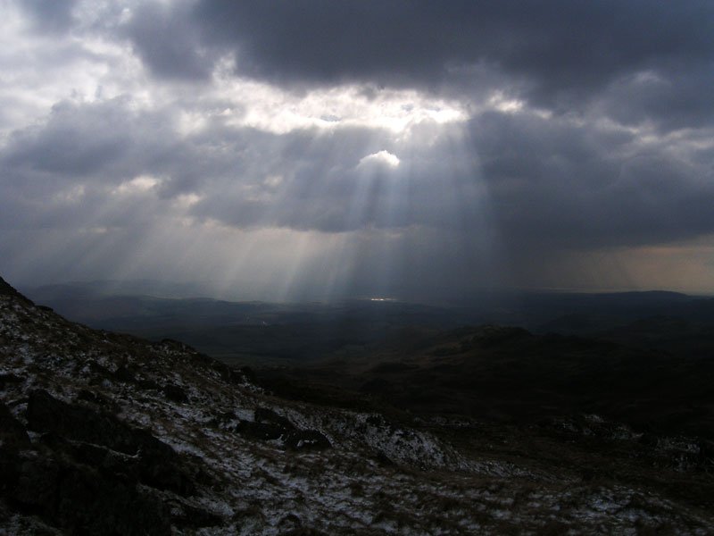
I didn't hang around for too long on the summit and set off down the snowy western face.

24.02.06-051

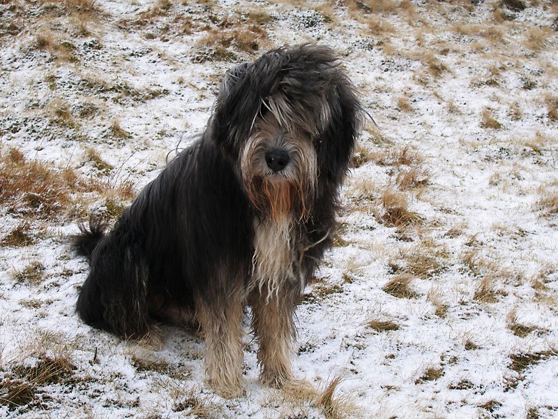
I don't think Angus knew what to make of the cold white stuff!

24.02.06-054

Not too far down, the sun suddenly burst through he clouds, here looking towards the Duddon Estuary.
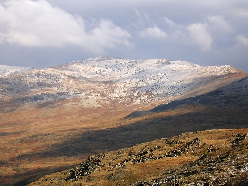
24.02.06-068

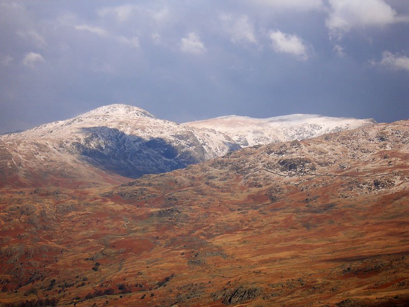
Now I could see the Coniston fells! A snowy Dow Crag is central to this shot with Buck Pike and Brown Pike to the right with the top of The Old Man in view behind. The Walna Scar road can be seen to the right of the photo.

24.02.06-070

The Coniston fells.

24.02.06-080

Grey Friar, Great Carrs and Swirl How. Seathwaite Tarn lies in the hollow below Grey Friar.

24.02.06-092

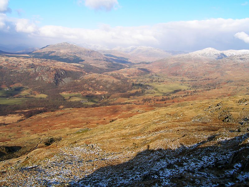
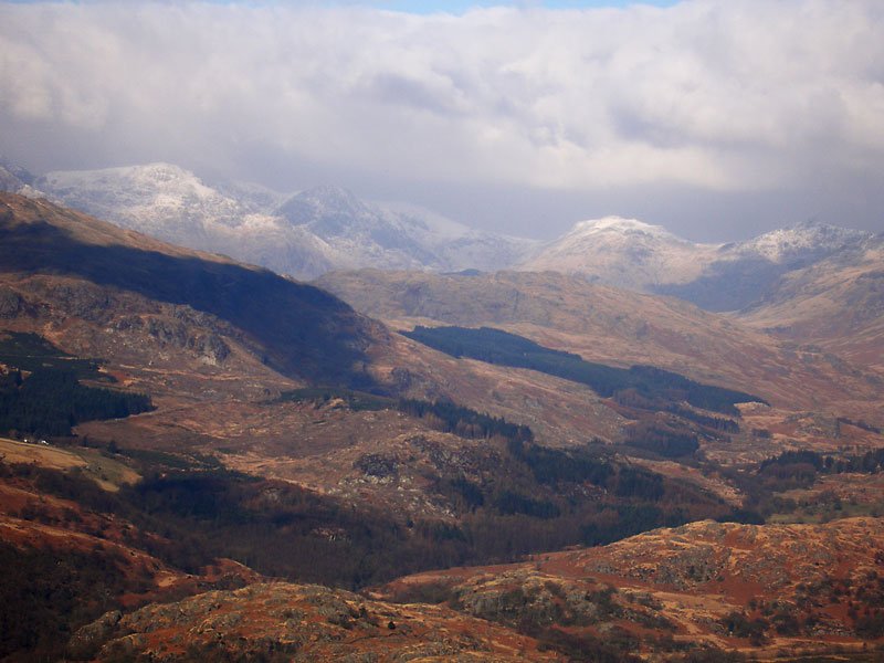
A Duddon Valley panorama; the Scafells in the distance through the valley between Harter Fell and Grey Friar.

24.02.06-094

Esk Pike, Bow Fell and Crinkle Crags.

24.02.06-095

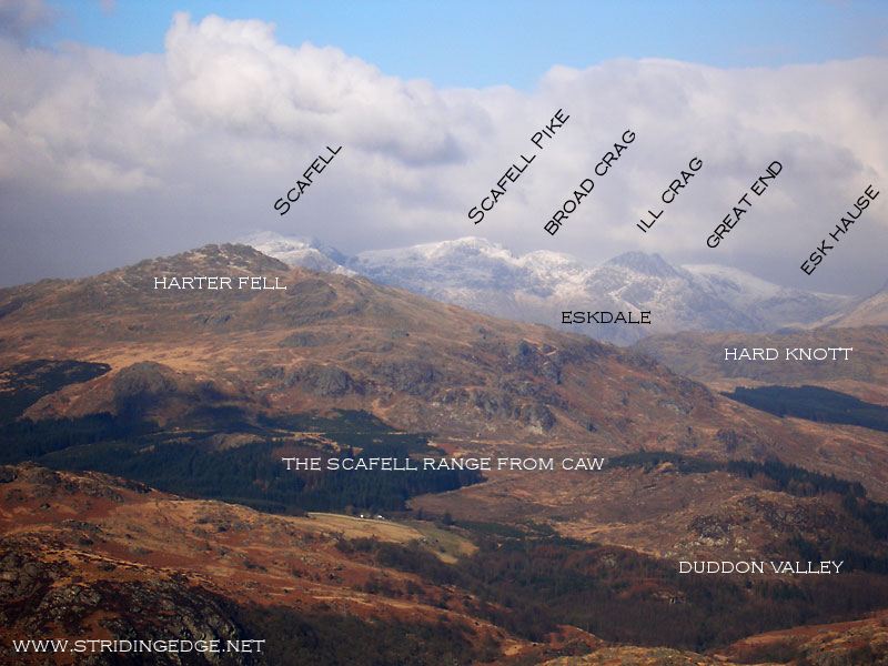
Scafell Pike, Ill Crag, Esk Pike and Bow Fell.

24.02.06-098_annotated

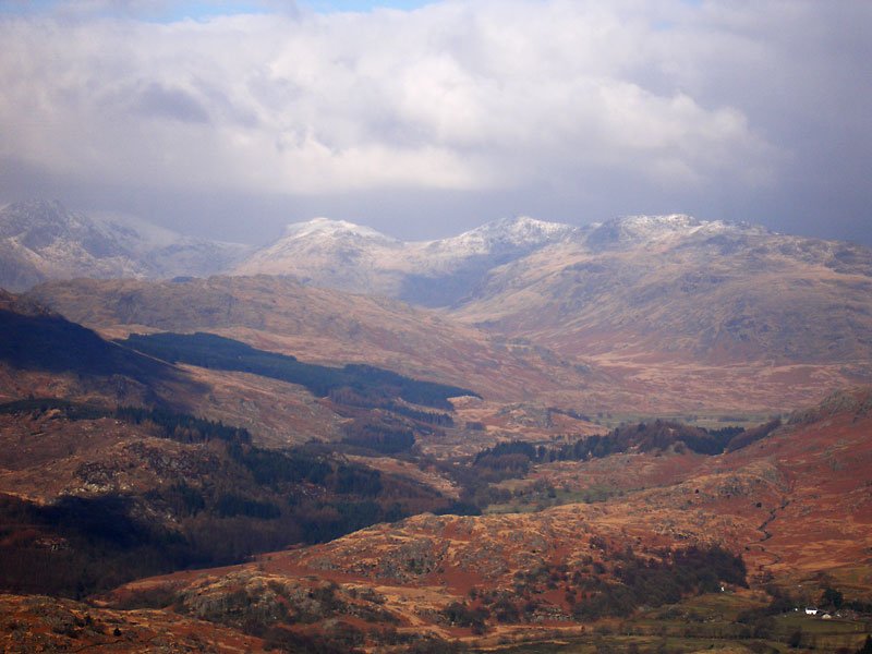
The Scafell range from Caw.

24.02.06-106

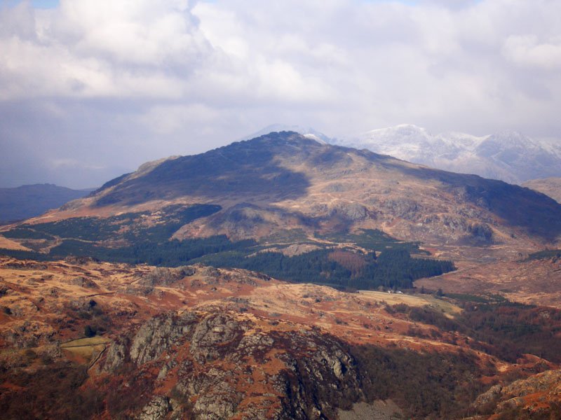
Harter Fell with Wallowbarrow Crag in the foreground.

24.02.06-108

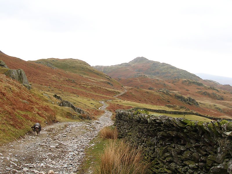
Walking back along Park Head Road to Stickle Pike; Angus is coming to see where I am!

24.02.06-109

Stickle Pike.


Share this…


  • Facebook


  • Twitter


  • Messenger


  • Whatsapp


  • Email

Previous walk Next walk

Walking Diary

  • The Mosedale Horseshoe 01/03/2022
  • Caw 18/01/2022
  • Coniston sunset 17/01/2022
  • Blencathra 15/01/2022
  • Scafell Pike 14/01/2022

Social

  • Facebook
  • Twitter

Information

  • Striding Edge
  • T&C’s
  • Privacy
  • Links