Striding Edge

A photo diary of Lake District fell walks

  • Walks
  • Fells
    • Wainwrights
      • Eastern Fells
      • Far Eastern Fells
      • Central Fells
      • Southern Fells
      • Northern Fells
      • North Western Fells
      • Western Fells
      • Outlying Fells
    • Birketts
  • Dogs
  • Love The Lakes
  • Contact

The Coniston Fells

Walked on 07/01/2010

Start point: The Sun Inn, Coniston (SD 300 975)

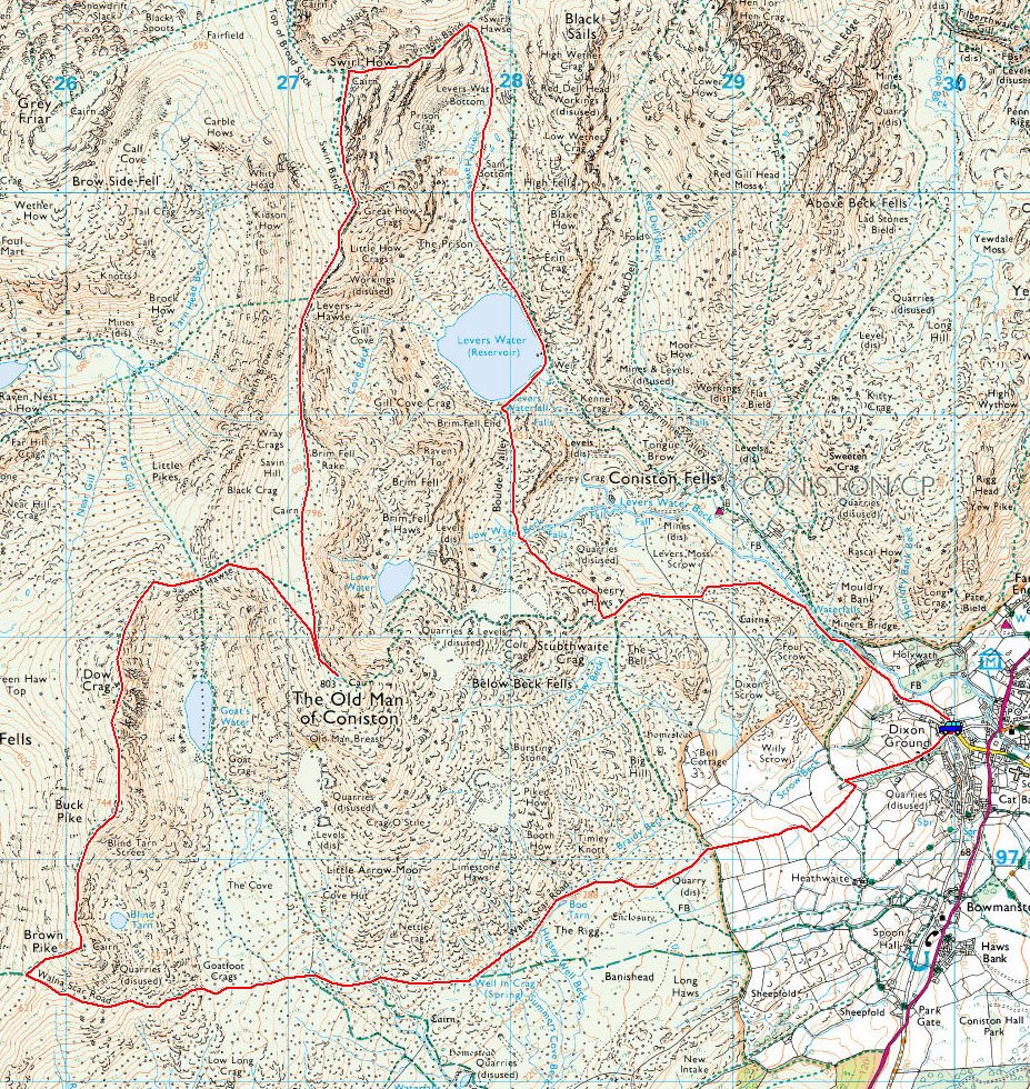
Coniston – Walna Scar road – Brown Pike – Buck Pike – Dow Crag – Goat’s  Hawse – Coniston Old Man  – Brim Fell – Levers Hawse –  Great How – Swirl How – Prison Band – Swirl Hawse – Levers Water – Boulder Valley – Coppermines Valley – Coniston

Distance: 10.2 miles    Total Ascent: 1085 metres     Time Taken: 5 hours 30 minutes

Weather: Cold and clear. -4°C

I actually came to Coniston yesterday (Wednesday 6th January) to walk theses fells but decided against it due to the heavy snow when I arrived there – I knew the fells would still be there another day and surely enough, this morning turned out lovely and clear. This would be fantastic and memorable day for a walk on the fells. According to Radio Cumbria, last night was the coldest ever recorded in Cumbria with a temperature of -14.5C recorded at Carlisle. When I got to Coniston it was -9C, so I knew it would be pretty cold today. As it turned out, it was quite warm in the sunshine but when in the wind or shade, then it was particularly noticeable how cold it really was.

Coniston

The Coniston fells route map.

07.01.10-010

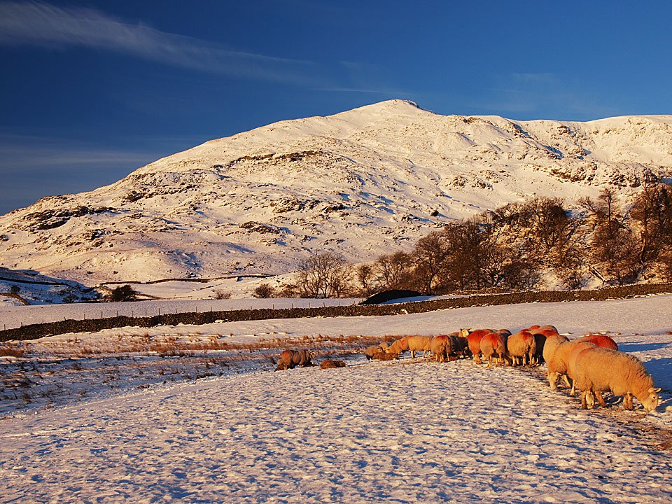
Sunrise on The Old Man.

07.01.10-012

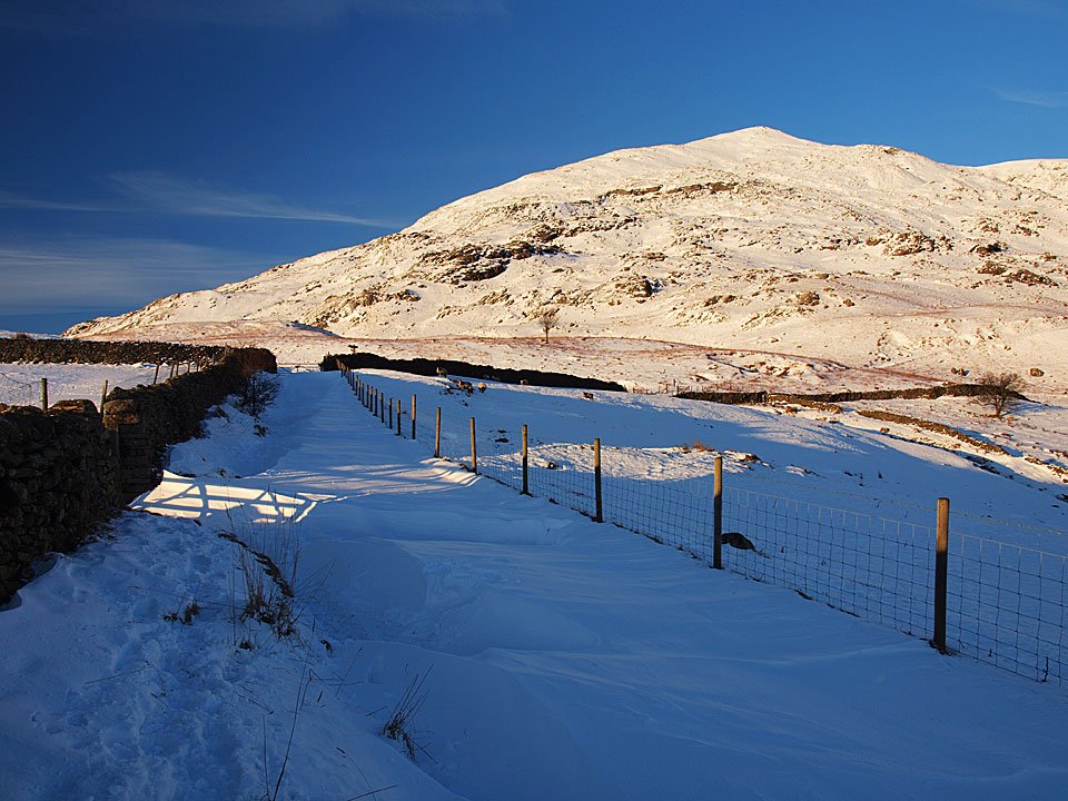
This snow filled lane is the approach to the Walna Scar Road, the gate is directly ahead.

07.01.10-015

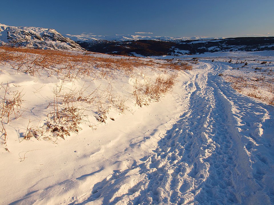
Looking back along the Walna Scar Road.

07.01.10-024

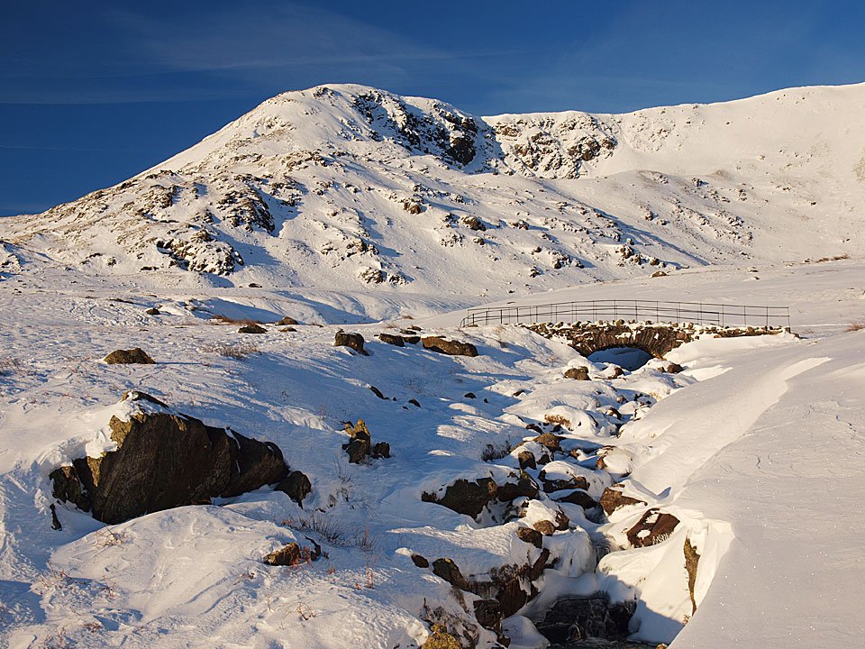
Brown Pike above Cove Bridge.

07.01.10-032

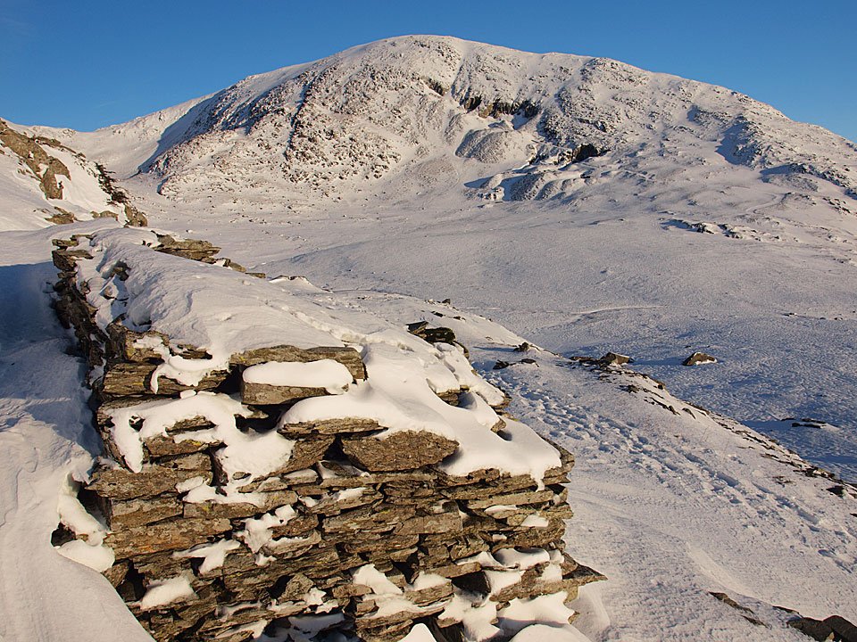
The Old Man across The Cove.

07.01.10-034

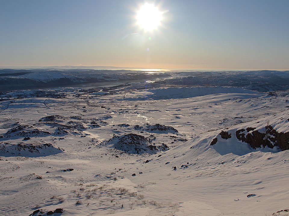
Sunshine on Morecambe Bay to the south.

07.01.10-036

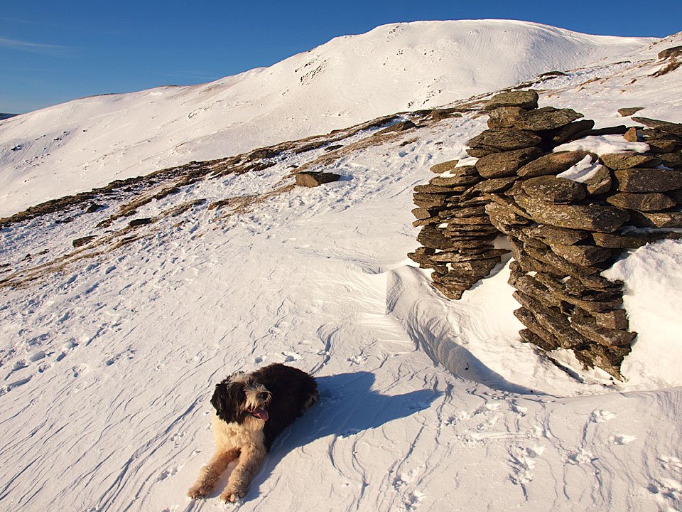
Casper at the Angus Shelter, Walna Scar beyond.

07.01.10-038

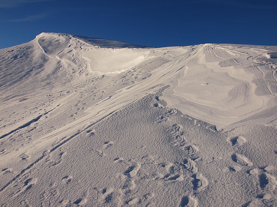
Snow cornice on Walna Scar.

07.01.10-049

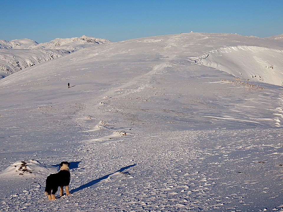
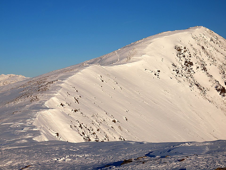
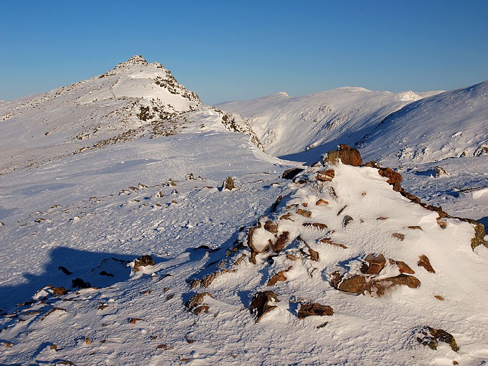
Buck Pike from Brown Pike. Time to get the crampons on now for virtually the rest of the walk.

07.01.10-051

Looking back across Walna Scar and Caw to Black Combe.

07.01.10-057

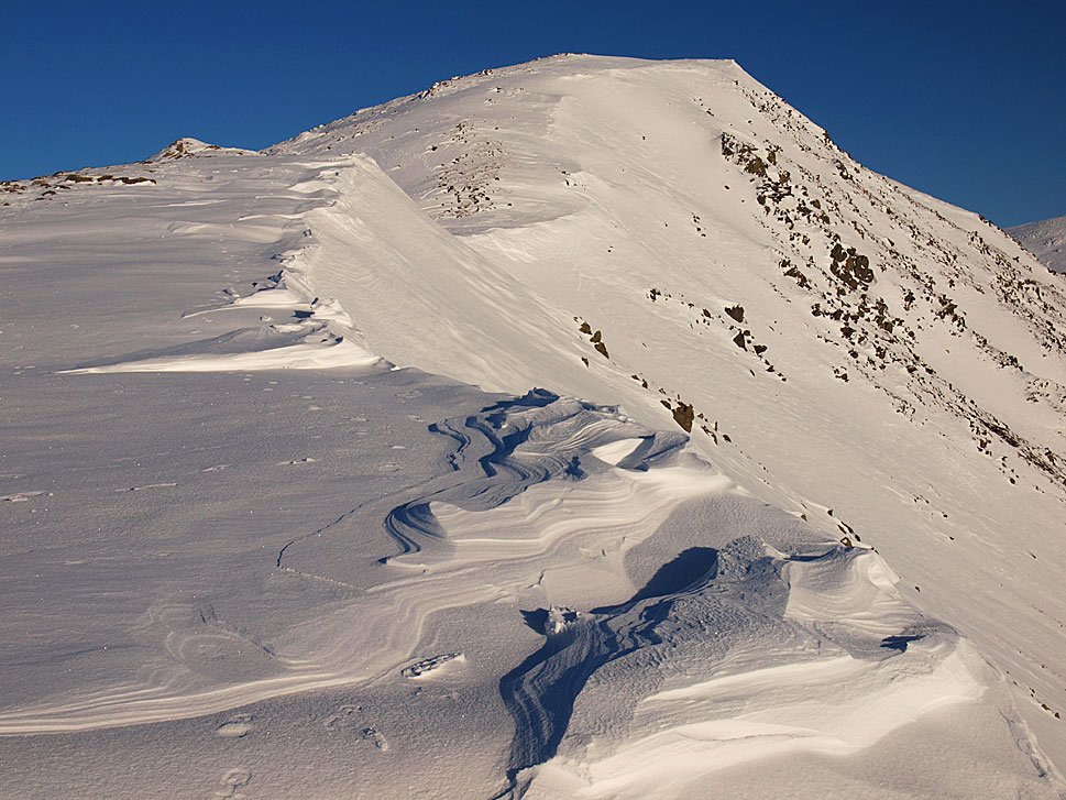
The approach to Buck Pike.

07.01.10-059

Brown Pike from Buck Pike.

07.01.10-067

Dow Crag ahead from Buck Pike.

07.01.10-070

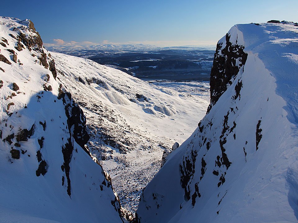
Easy Gully, Dow Crag.

07.01.10-076

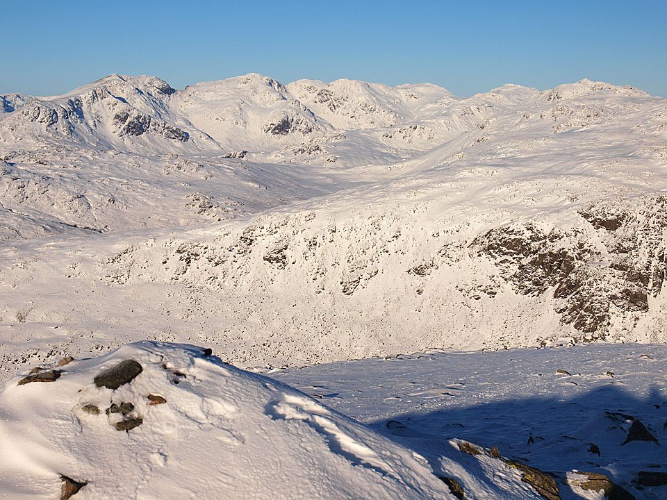
The Scafell range from Dow Crag.

07.01.10-077

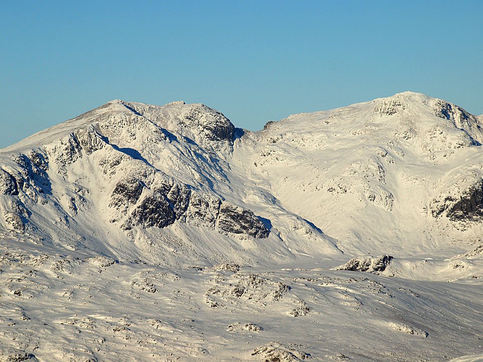
Close up on Scafell and Scafell Pike.

07.01.10-084

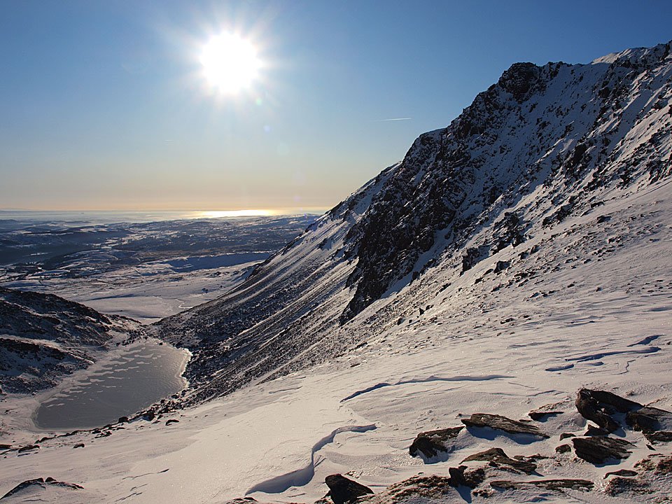
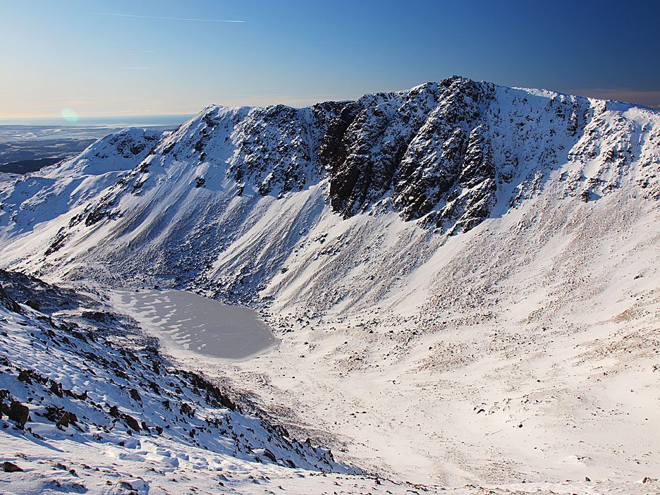
A frozen Goat's Water and Dow Crag from Goat's Hawse.

07.01.10-091

Looking across to Dow Crag from the slog up to The Old Man.

07.01.10-094

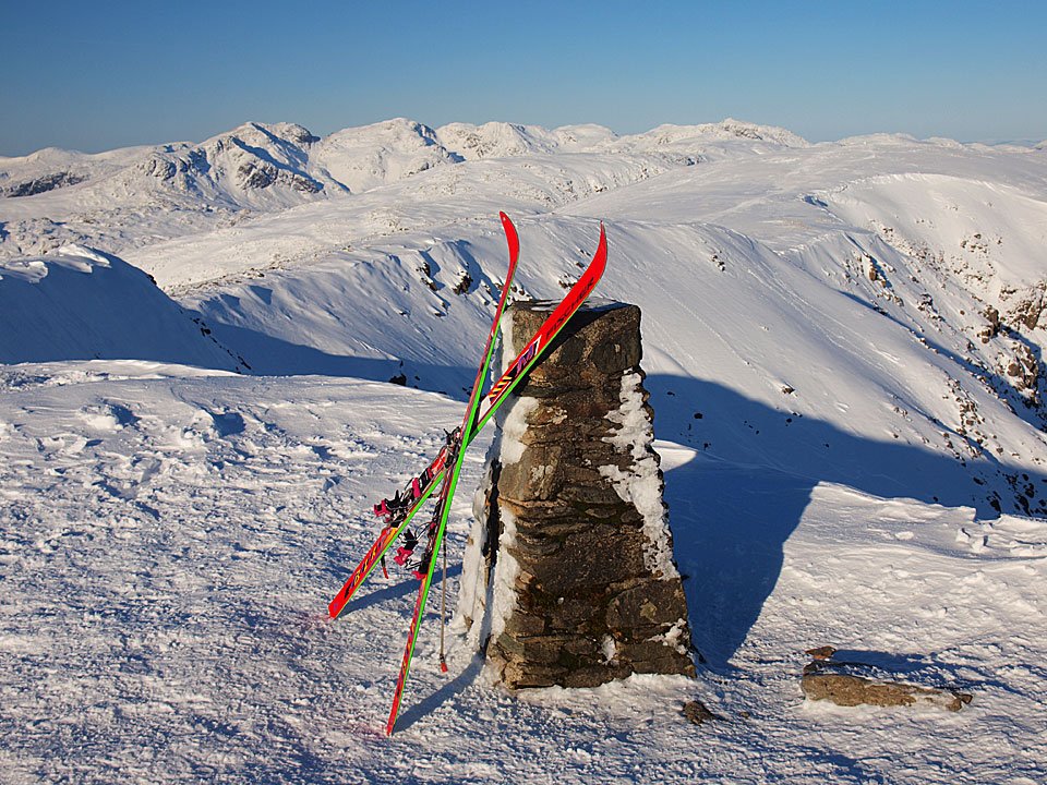
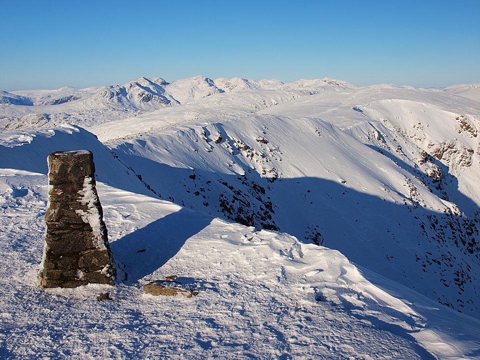
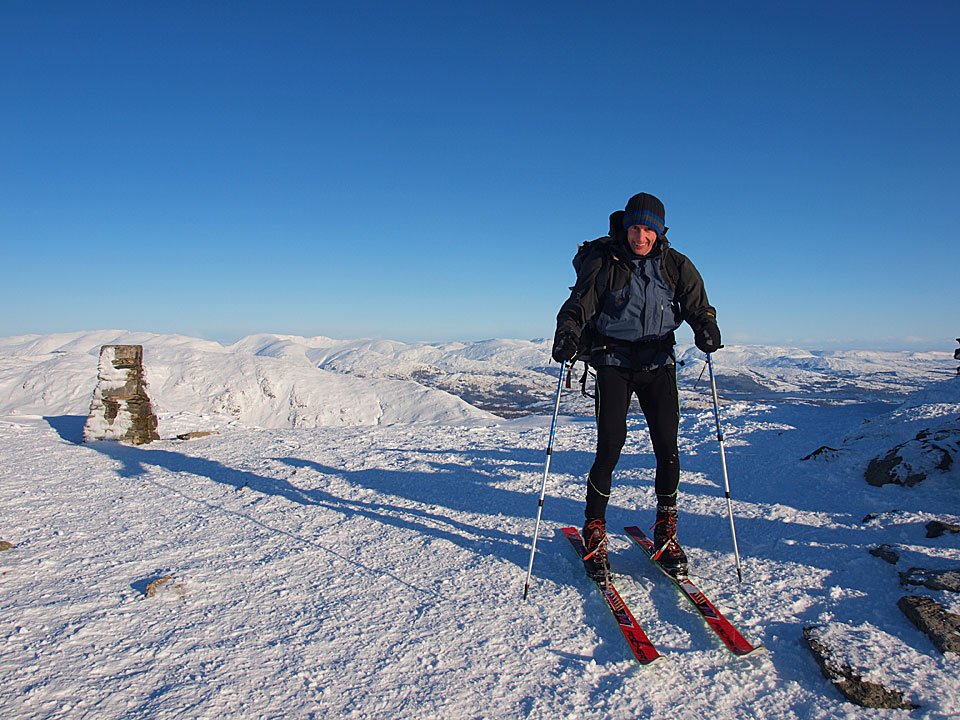
I found these skis conveniently placed on the trig. column on The Old Man summit.

07.01.10-096

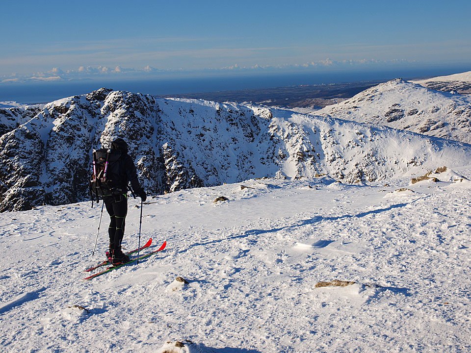
When I found the owner, it was an old friend of mine Nathan Pike. Now that's what I call travelling in style!

07.01.10-097

Setting off for Brim Fell.

07.01.10-100

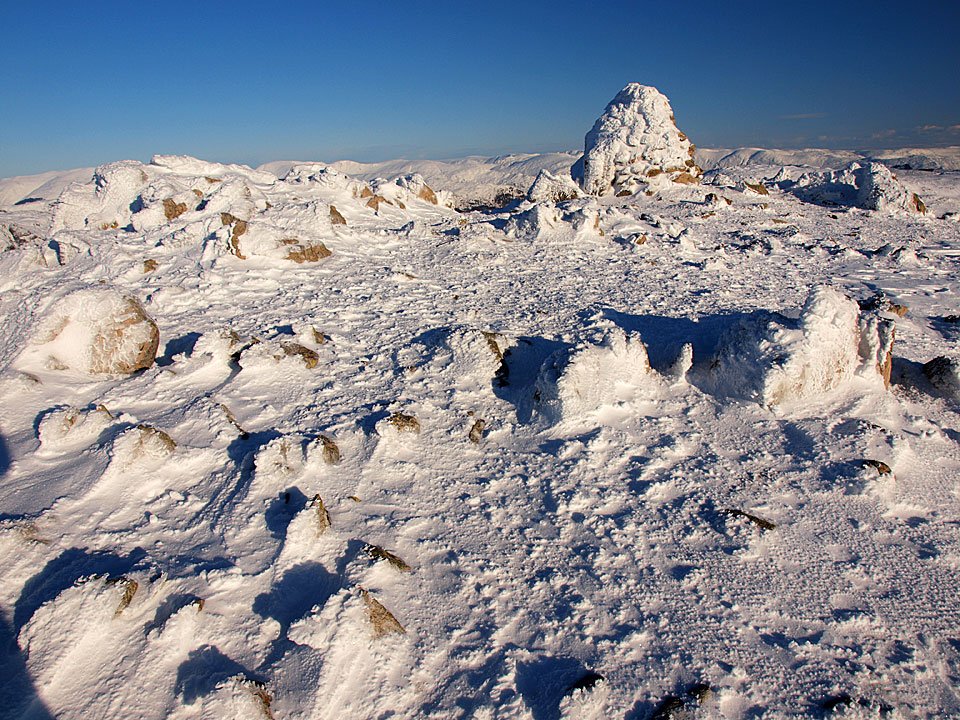
The view from the summit, clear as clear can be.

07.01.10-107

Heading for Brim Fell as Nathan realises it is harder to ski uphill than down! I caught him up again before he disappeared down Brim Fell Rake.

07.01.10-109

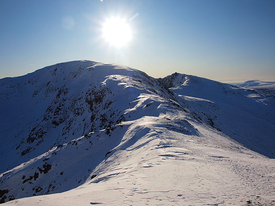
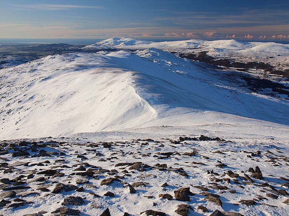
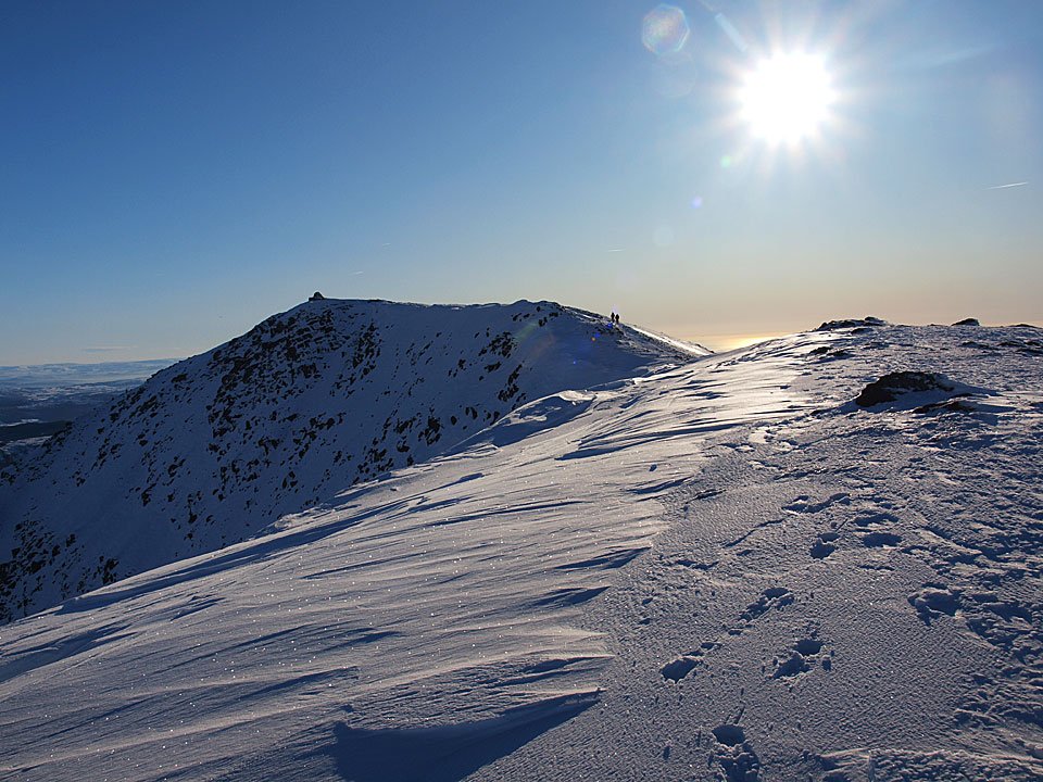
Looking back to The Old Man summit from the Brim Fell ridge.

07.01.10-110

A clear view of all the fells today.

07.01.10-112

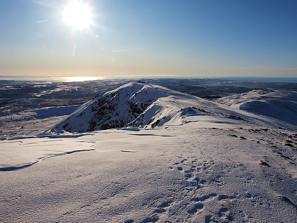
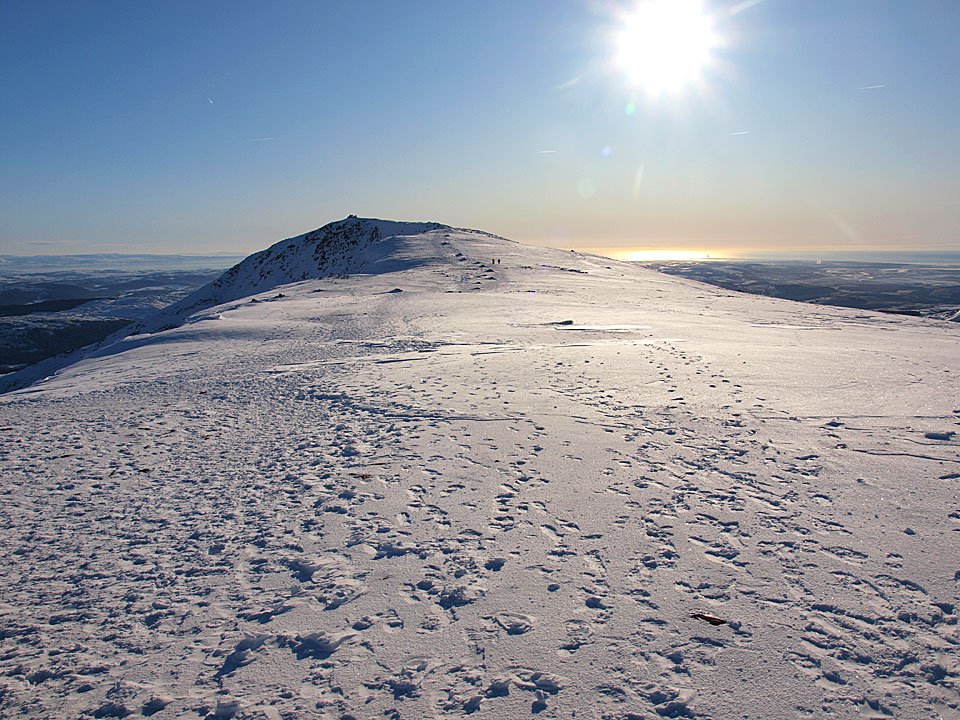
Looking back once more from Brim Fell.

07.01.10-118

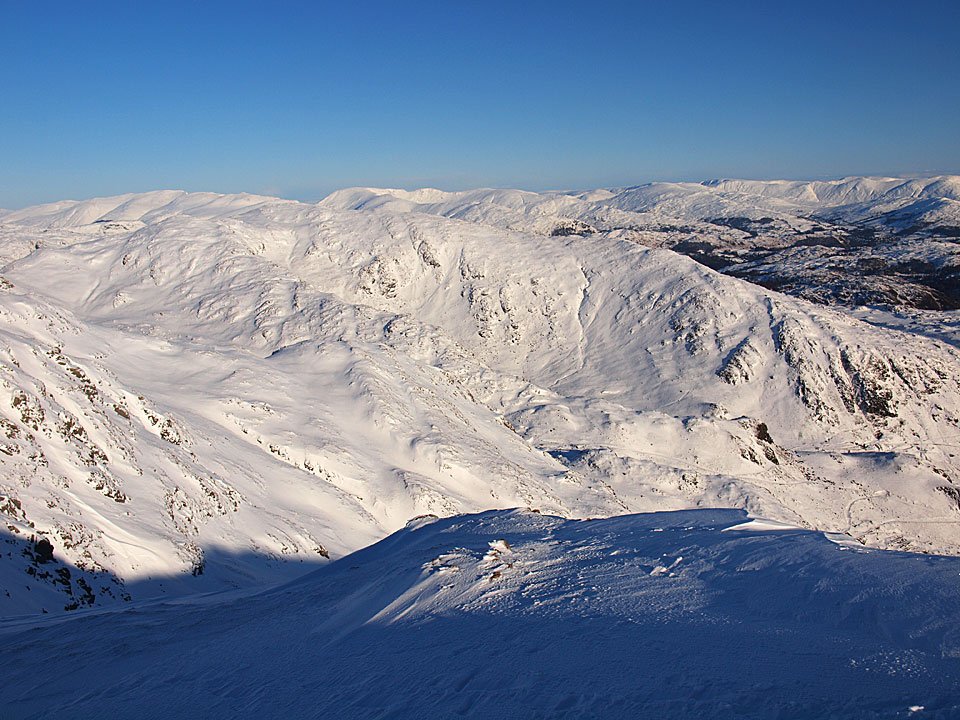
The eastern fells across Levers Water.

07.01.10-119

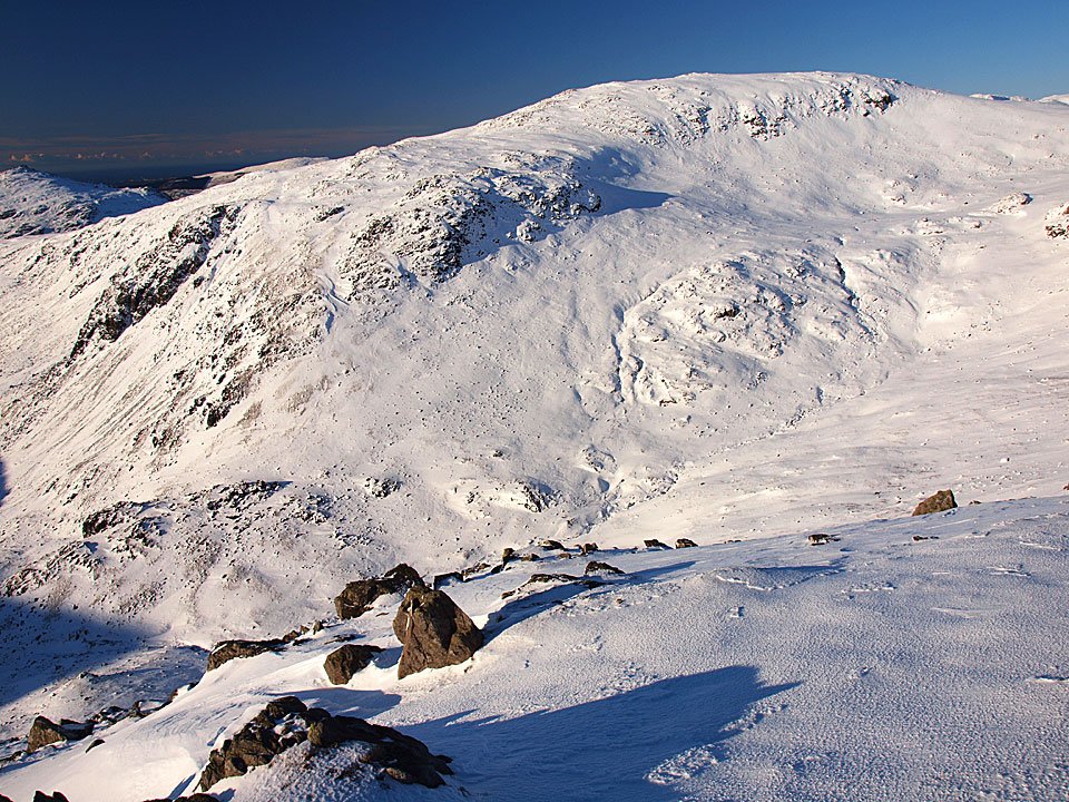
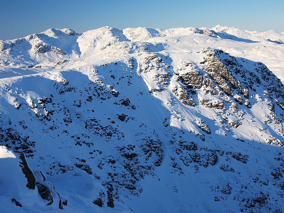
Swirl How and Great How Crags from the descent to Levers Hawse, to the left is Great Carrs.

07.01.10-122

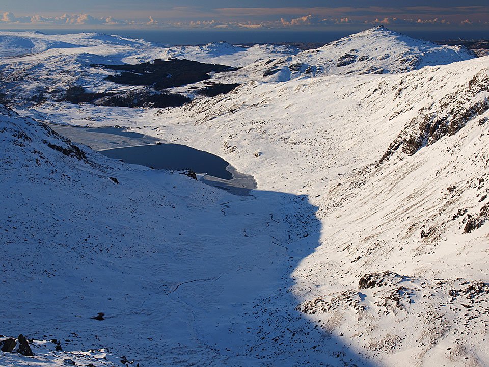
Part frozen Seathwaite Tarn and Harter fell from Levers Hawse.

07.01.10-124

Grey Friar.

07.01.10-125

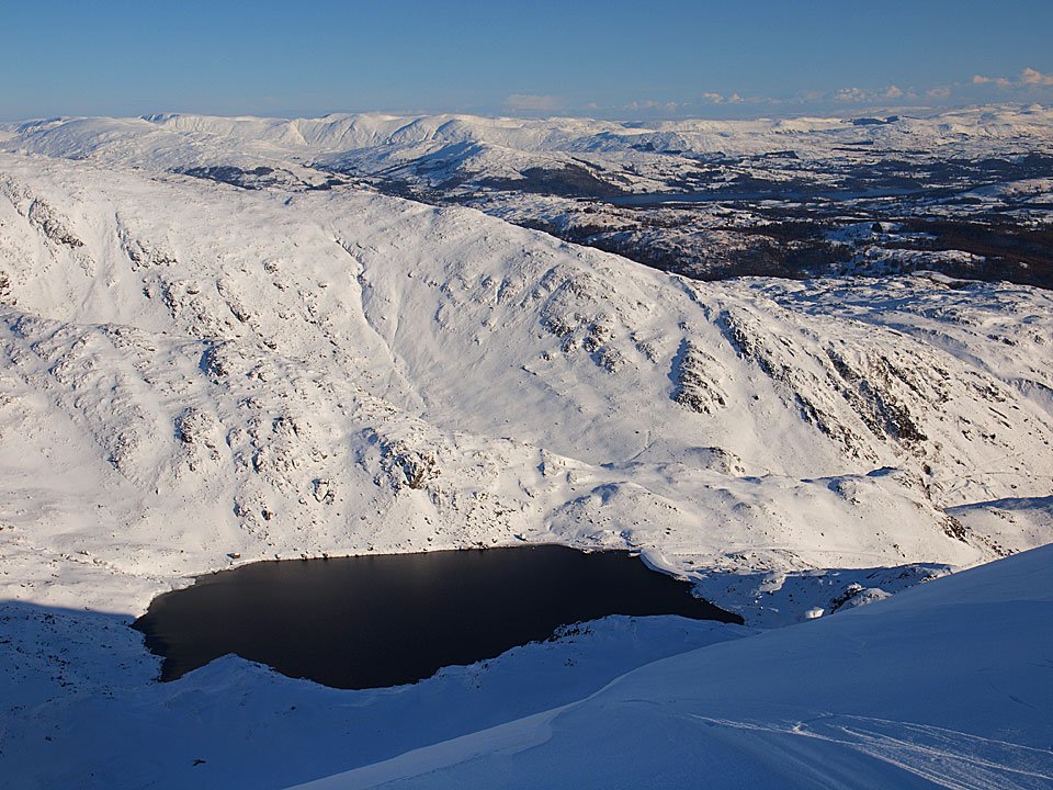
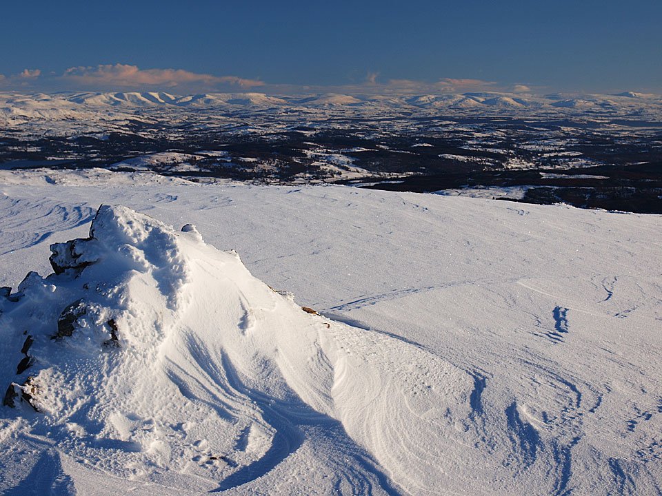
A clear view to the Howgills across Levers Water.

07.01.10-127

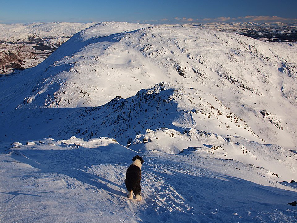
Brim Fell across Levers Hawse from the climb to Great How Crags, Dow Crag and Black Combe to the left.

07.01.10-134

The Howgills from Swirl How, to the right is Ingleborough.

07.01.10-138

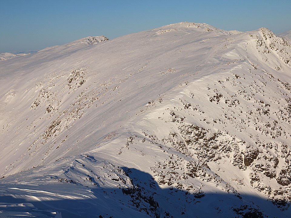
Swirl How.

07.01.10-143

The Scafells to Bowfell across Great Carrs.

07.01.10-144

Skiddaw and Blencathra across the Langdales.

07.01.10-151

Prison Band.

07.01.10-157

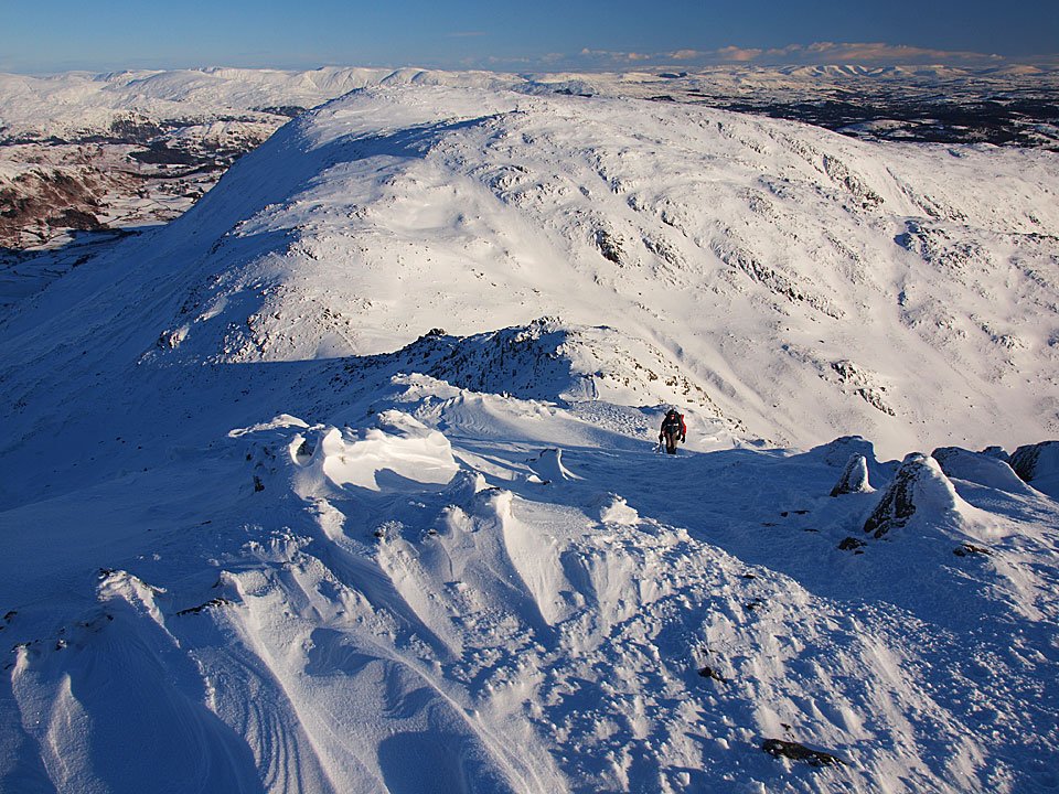
Descending Prison Band, Wetherlam ahead. The snow was often knee deep down here making the going hard.
07.01.10-163

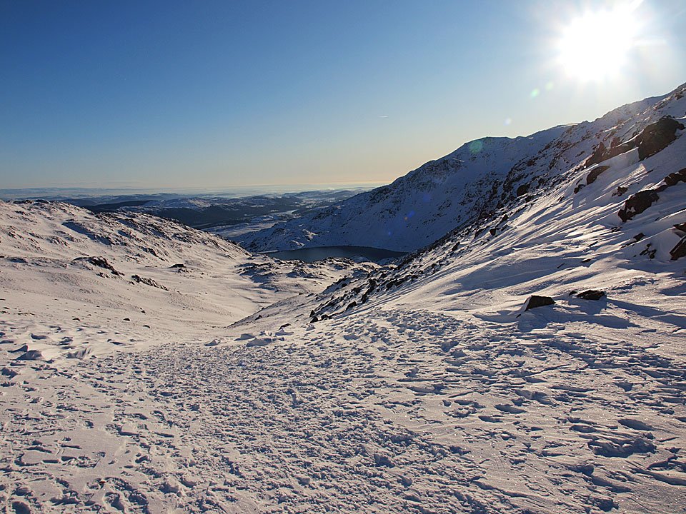
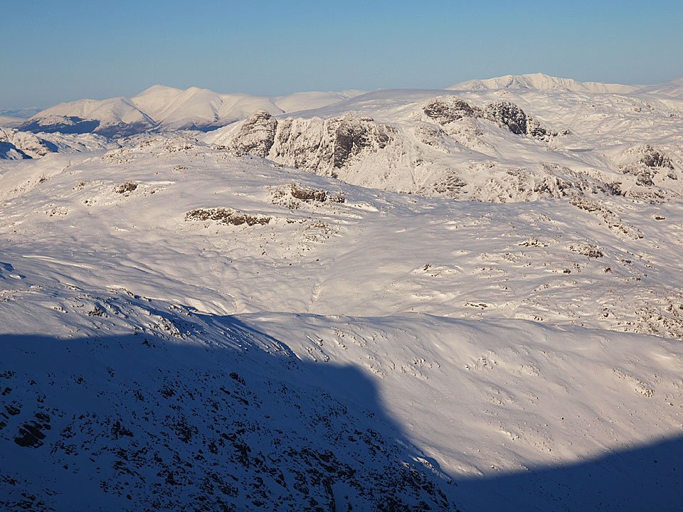
The view from Swirl Hawse.
07.01.10-167

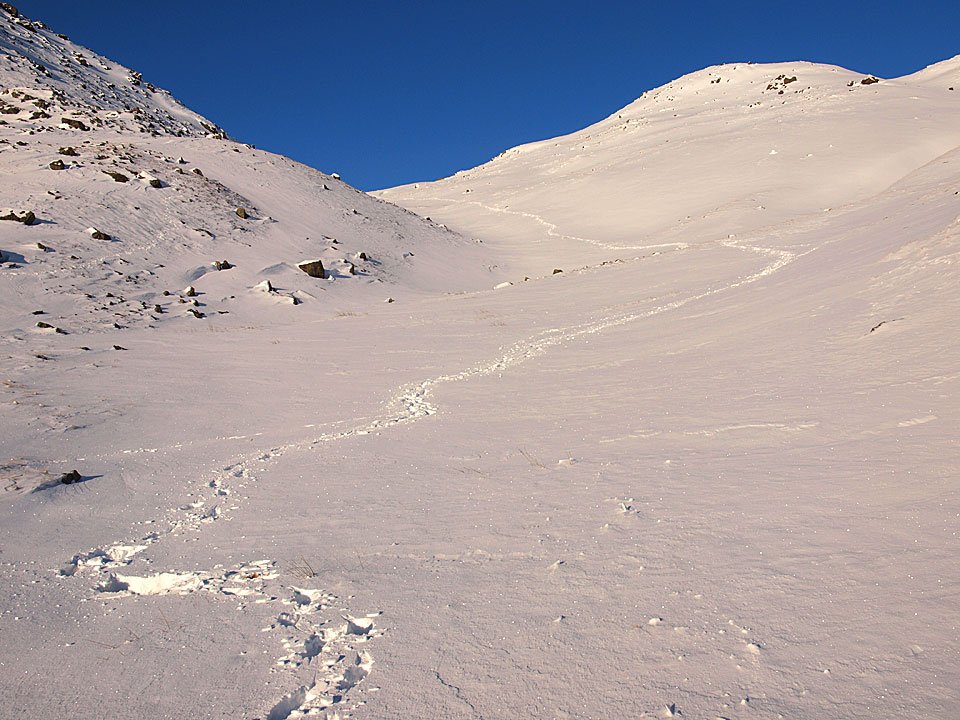
Blazing a trail from Swirl Hawse following Swirl Hawse Beck. The more usual path is further up to the right but this seemed as good a way as any today...but watch out for the big holes like the one at the bottom left of the photo! At least I only went waist deep and didn't disappear altogether.

07.01.10-170

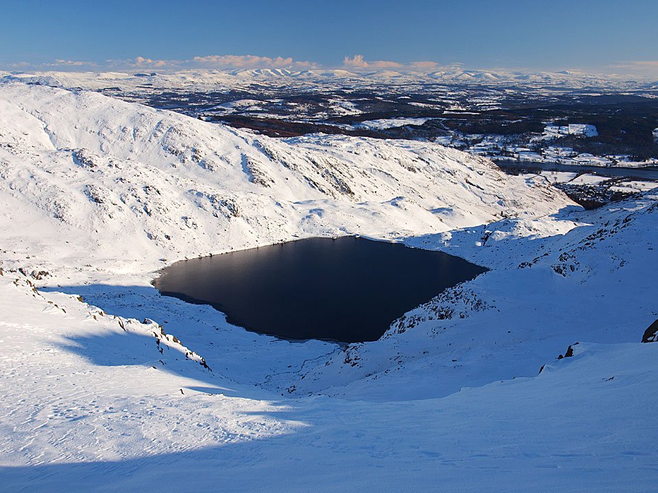
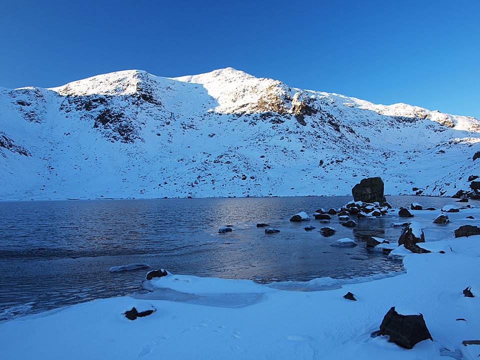
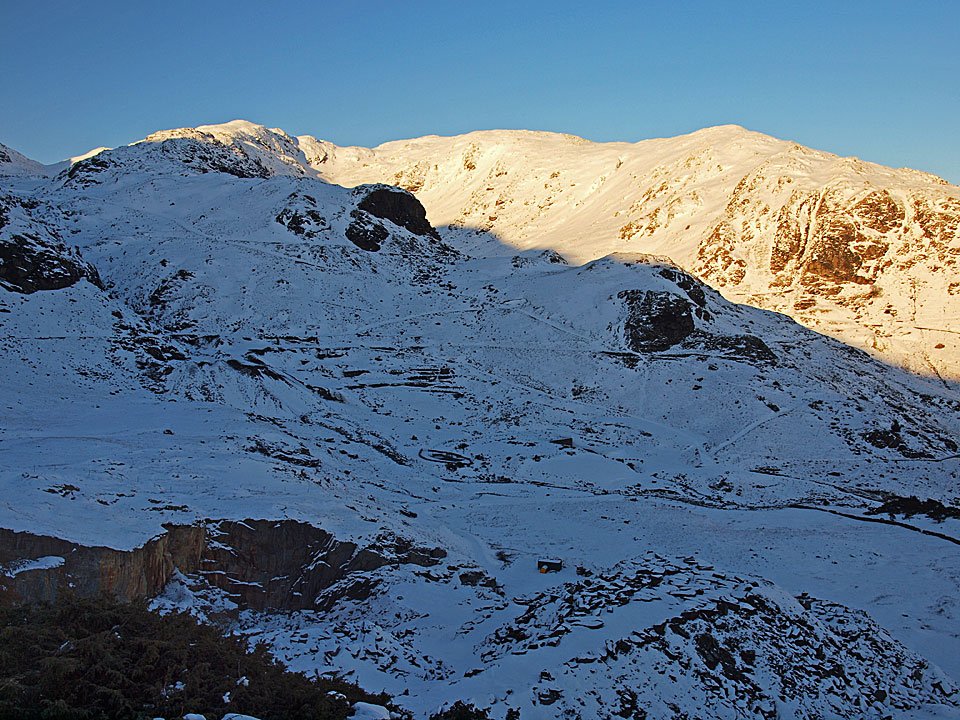
In the shade at Levers Water and the sun is already setting, Great How Crags in the sunshine.

07.01.10-182

Pink tinged Wetherlam from Boulder Valley.

07.01.10-191

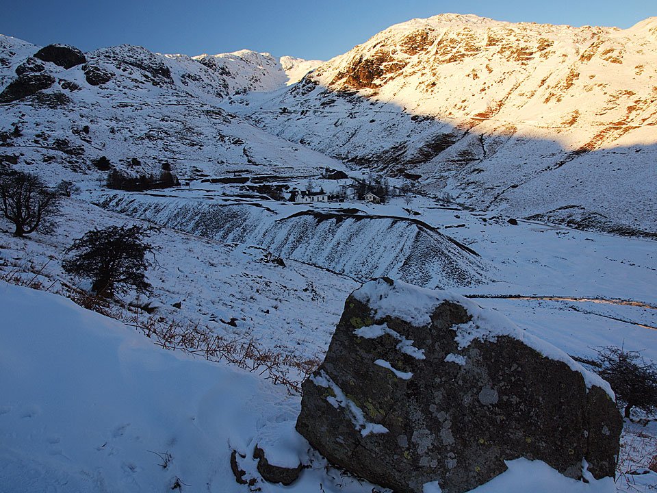
Looking to the YHA across Coppermines Valley.

07.01.10-195

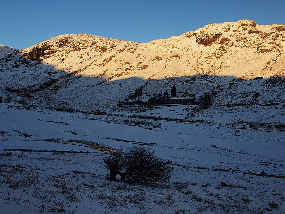
The walking huts with the Yewdale Fells tinged with the sunset.

07.01.10-196

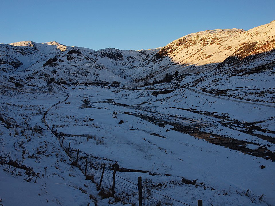
Coppermines Valley. On the way home...

07.01.10-199

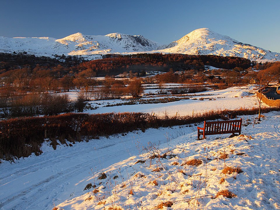
The fells recently walked from Torver.

07.01.10-203

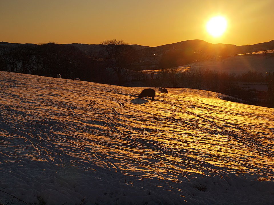
Lake District sunset.

07.01.10-206

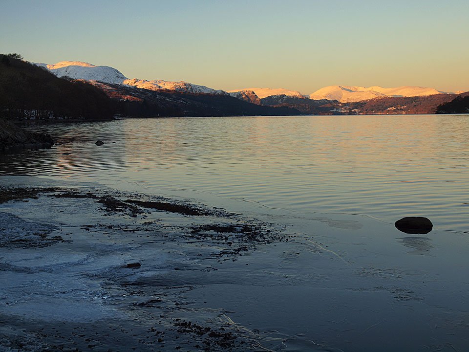
Frozen Coniston Water at Brown How.

07.01.10-208

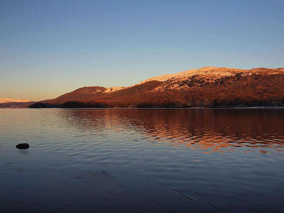
Bethecar Moor from Brown How.

Share this…


  • Facebook


  • Twitter


  • Messenger


  • Whatsapp


  • Email

Previous walk Next walk

Walking Diary

  • The Mosedale Horseshoe 01/03/2022
  • Caw 18/01/2022
  • Coniston sunset 17/01/2022
  • Blencathra 15/01/2022
  • Scafell Pike 14/01/2022

Social

  • Facebook
  • Twitter

Information

  • Striding Edge
  • T&C’s
  • Privacy
  • Links