Striding Edge

A photo diary of Lake District fell walks

  • Walks
  • Fells
    • Wainwrights
      • Eastern Fells
      • Far Eastern Fells
      • Central Fells
      • Southern Fells
      • Northern Fells
      • North Western Fells
      • Western Fells
      • Outlying Fells
    • Birketts
  • Dogs
  • Love The Lakes
  • Contact

Beacon Fell and Blawith Common

Walked on 24/02/2011

Start point: Blawith Common (SD 286 903)

Blawith Common – Slatestone Fell – Beacon Fell (OF) – Beacon Tarn – Slatestone Fell – Blawith Common

Distance: 3.2 miles     Total Ascent: 272 metres     Time Taken: 1 hour     Start Time: 12:20

Weather: Overcast. 10°C

Around the fringes of the Lake District there was blue sky and sunshine but, in the southern half at least, it was pretty murky today. It was also surprisingly warm for the time of year, almost ready for spring! I was going to head for the higher fells but stuck to lowly Beacon Fell when I realised just how closed in the weather was and had a bit of a wander around Blawith Common too for a change.

Beacon

24.02.11-006

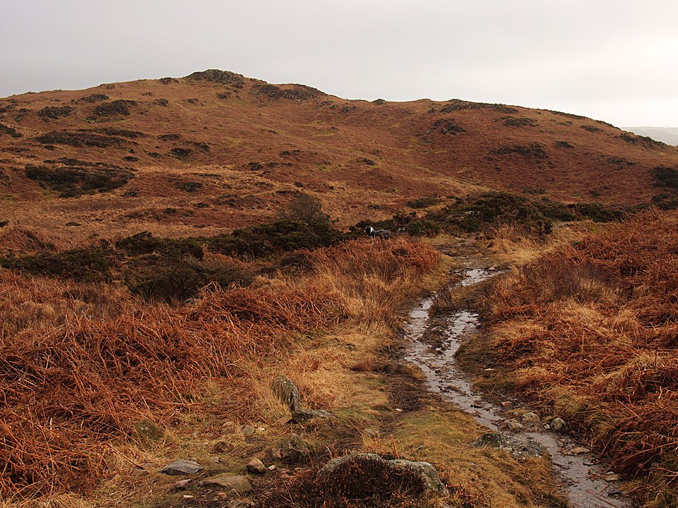
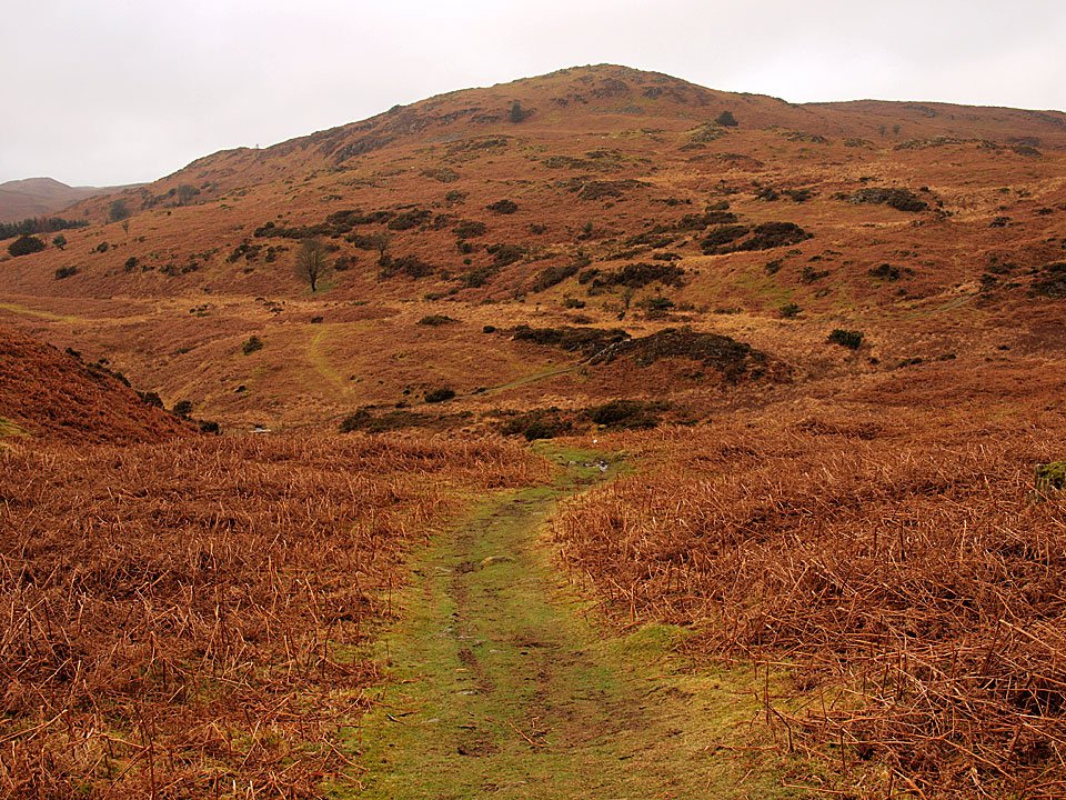
The path towards Slatestone Fell.

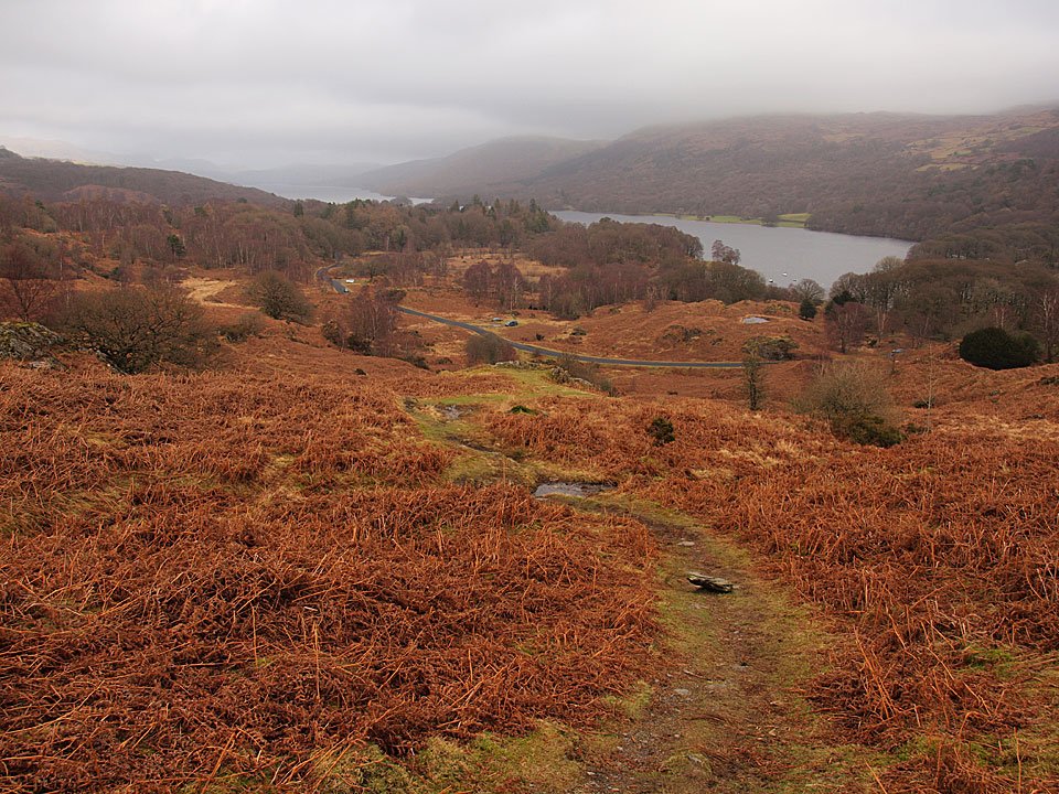
24.02.11-011

Looking back down the path towards Coniston Water and there is lots of low lying cloud around today. I've never noticed that little tarn just above the road before either, even though I must have passed it many times!

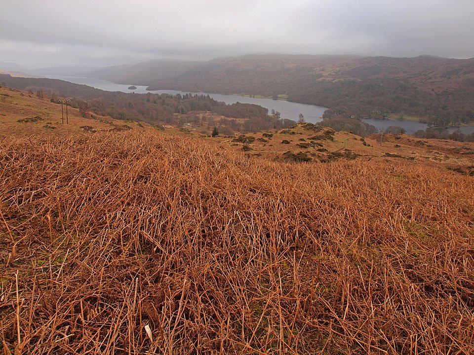
24.02.11-014

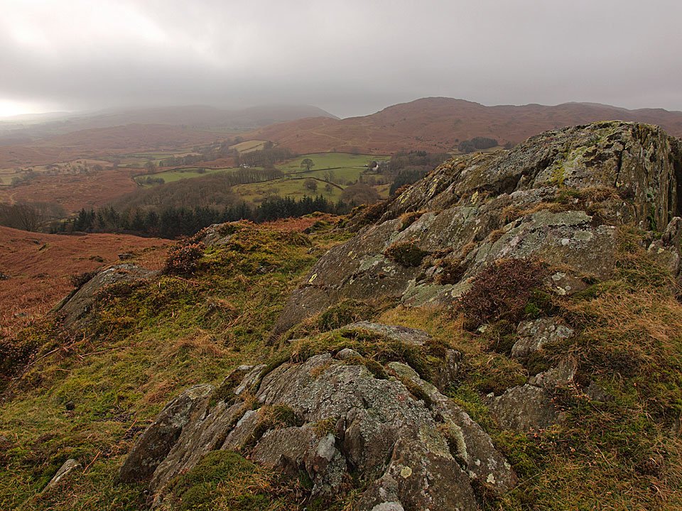
Coniston Water from Slatestone Fell.

24.02.11-015

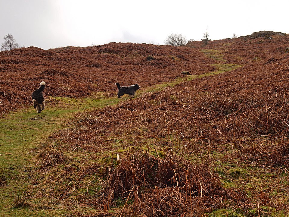
Dougal the tracker finds a path to Beacon Fell ahead.

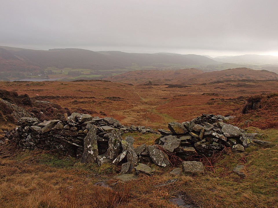
24.02.11-019

'Nutty Sheepfold'.

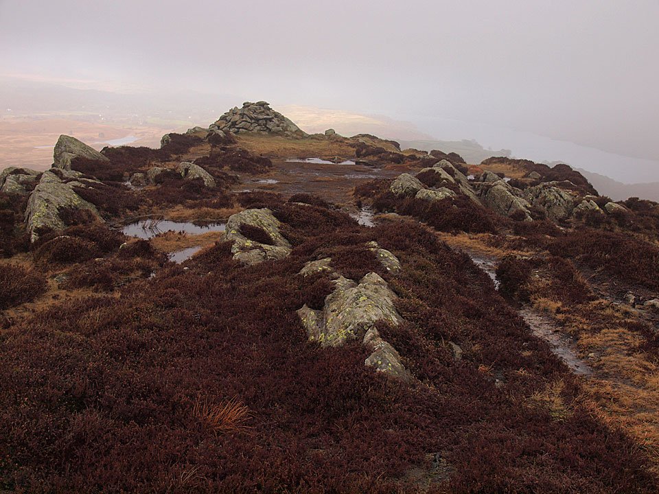
24.02.11-026

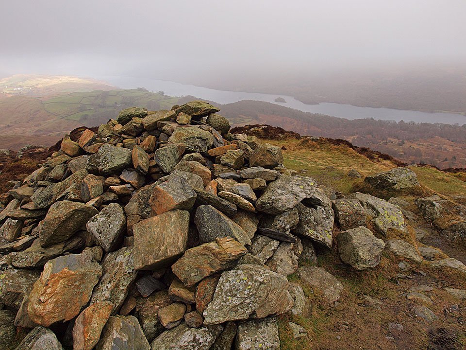
The top of Beacon Fell.

24.02.11-038

Coniston Water from the summit. The treasure tin and its contents have disappeared again.

24.02.11-040

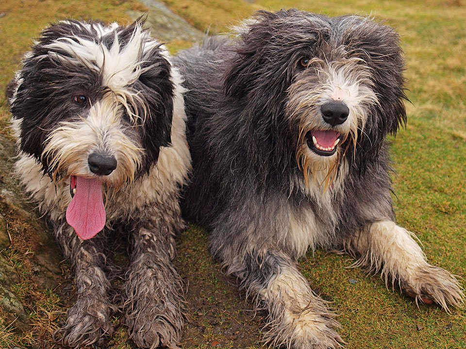
Mucky pups on Beacon Fell.

24.02.11-047

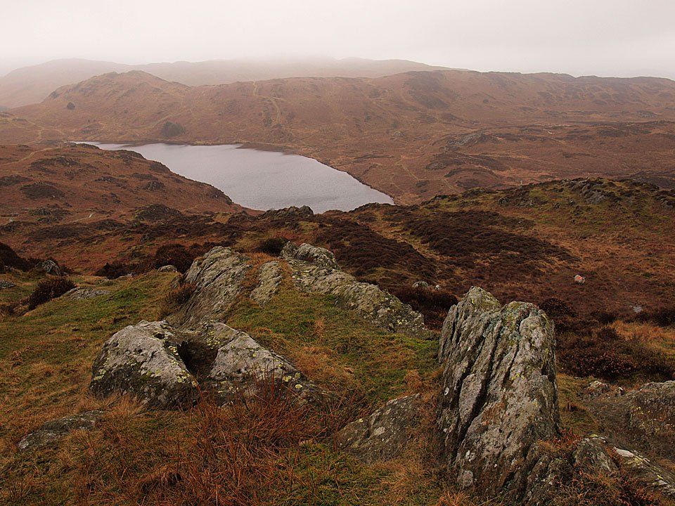
Beacon Tarn and Wool Knott.

24.02.11-058

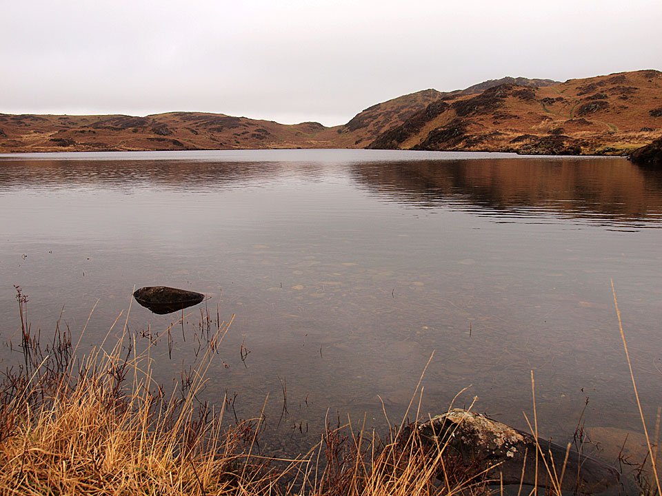
Beacon Fell to the right, across tranquil Beacon Tarn.

24.02.11-060

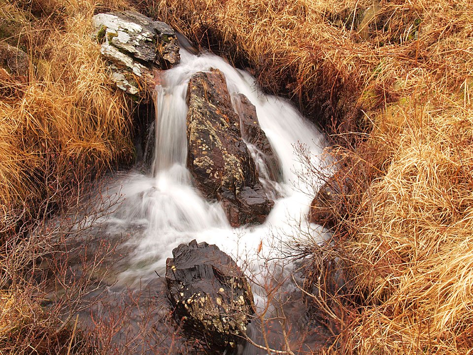
Tarn Beck.

24.02.11-064

Dougal - tracking again - leads the way to Slatestone Fell.

24.02.11-067

Looking back to Wool Knott.

24.02.11-072

Blawith Knott from Slatestone Fell.

24.02.11-079

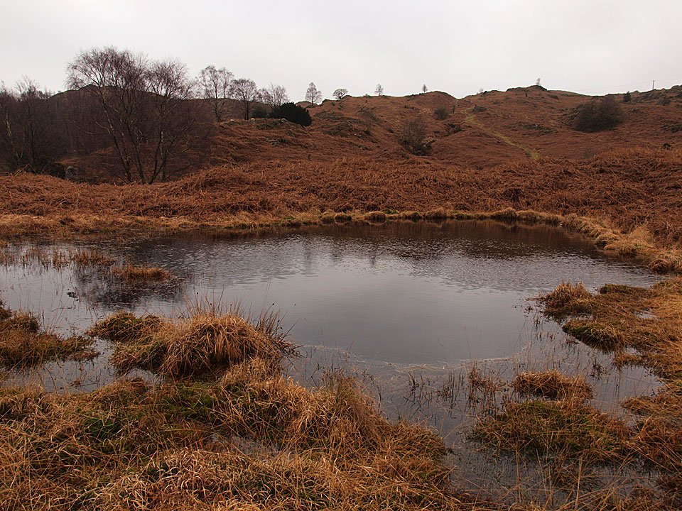
The un-named tarn mentioned in the first photo above looking across to the path used in ascent. Although it doesn't look like it, the main road is between me and the path.

Share this…


  • Facebook


  • Twitter


  • Messenger


  • Whatsapp


  • Email

Previous walk Next walk

Walking Diary

  • The Mosedale Horseshoe 01/03/2022
  • Caw 18/01/2022
  • Coniston sunset 17/01/2022
  • Blencathra 15/01/2022
  • Scafell Pike 14/01/2022

Social

  • Facebook
  • Twitter

Information

  • Striding Edge
  • T&C’s
  • Privacy
  • Links