(i) Start point: Woodland Fell road (SD 256 879)
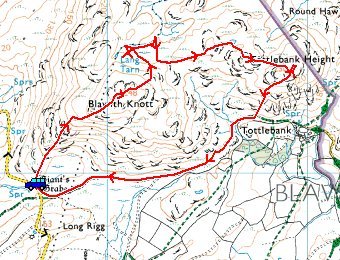
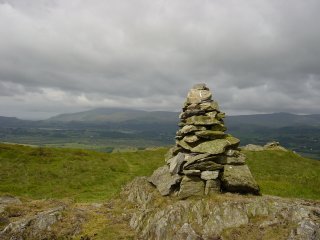
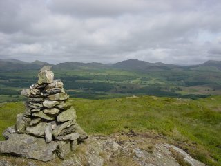
Woodland Fell Road – Blawith Knott (OF) – Lang Tarn – Tottlebank Height (OF) – Woodland Fell Road
(ii) Start point: Woodland Fell road (SD 259 852)
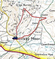
Burney (OF) from the Woodland Fell Road
Route Map
Weather: Sunny with a stiff breeze.
Two more short walks this morning to keep away from the crowds and the threatened bad weather. As it turned out, the weather wasn’t too bad with sunny intervals. The walks followed were the Blawith Knott and Burney chapters in Wainwright’s ‘The Outlying Fells of Lakeland’.
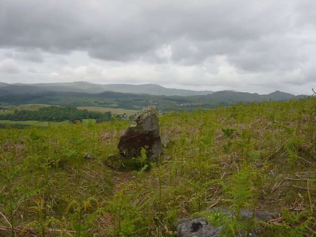
Giant's Grave, believed to be a Bronze Age barrow. This is right by the roadside at the start of the walk so you can't miss it. It looks like a headstone with a circle of stones on its southern side (nearest the camera in the photo).
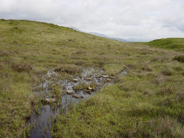
Lang Tarn shares with Foxes Tarn on Scafell the distinction of being the smallest named tarn in Lakeland. This took some finding, a lot of wet areas seem to be dried up around here.
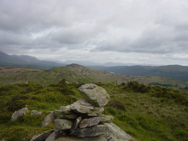
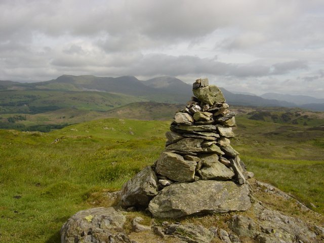
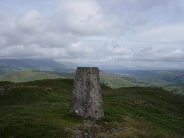
Wetherlam on the left with Dunmail Raise and Kirkstone pass visible from the summit cairn of Tottlebank Height. Coniston Water can just be seen right of centre. A short drive up the Woodland Fell road for another quick walk with a circular route of Burney.
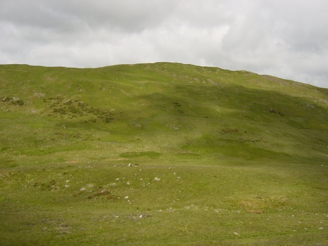
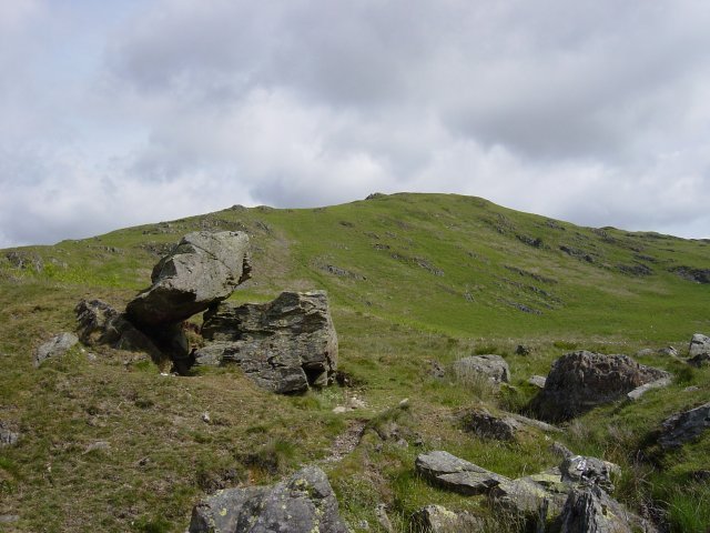
This area is rich in prehistoric remains, including Bronze Age field systems and a mediaeval homestead. This is a view of Burney across the remains of a stone circle with the centre standing stone clearly visible.

