Start point: Glen Mary Bridge, Yewdale (NY 321 999)
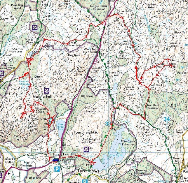
Glen Mary Bridge – Holme Fell (136) – Hodge Close – Oxen Fell – Black Crag on Black Fell (137) – Tarn Hows – Glen Mary Bridge
Weather: Drizzle at first, clearing later.
Today’s walk takes in the lower fells of Yewdale – Holme Fell and Black Crag. Holme Fell offers great views of the Coniston range whist Black Crag gives a fine panorama of distant fells.
The walk starts from the car park at Glen Mary Bridge adjacent to the A593 Ambleside to Coniston road. Turning left from the car park, it is a short walk to Yew Tree Farm, across the bridge and right through the gate.
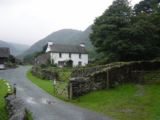
Yew Tree Farm. It was then through another gate on the right and I followed the track until a fork, at which I kept left and started ascending Holme Fell through Uskdale Gap above Yew Tree Tarn.
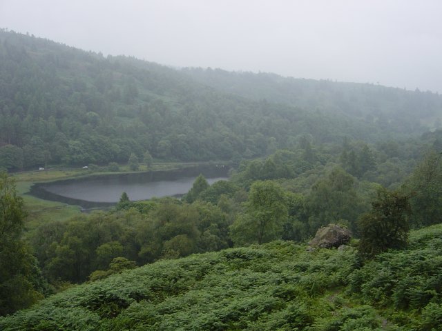
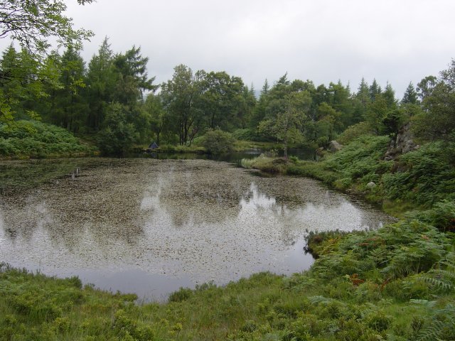
Yew Tree Tarn from Uskdale Gap. Turning left at the shoulder, the first ascent was to the large cairn on Ivy Crag then a descent across a basin to the summit outcrop of Holme Fell.
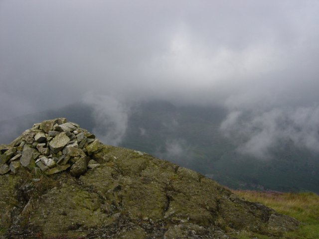
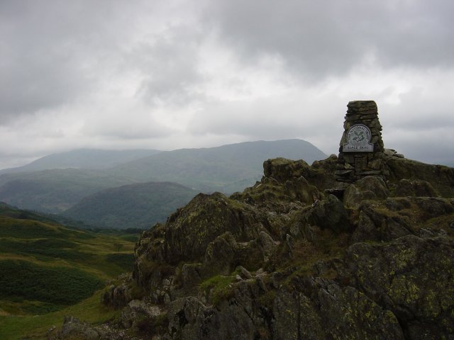
Looking to Wetherlam through the mist and drizzle from the summit of Holme Fell. Descending northwards, I threaded my way through the disused reservoirs, trees and past an old quarry to pick up a main path heading for Hodge Close.
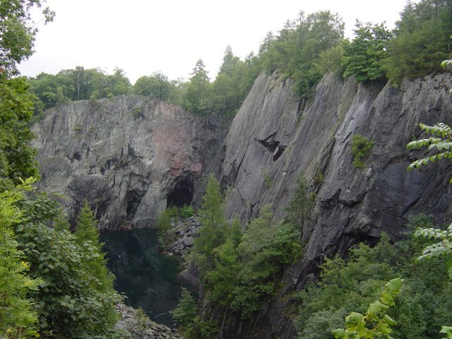
The large hole of the eerie Hodge Close Quarry with its copper sulphate blue lake. After skirting Hodge Close, I picked up another main path which headed for High Oxen Fell Farm; through the farm the path becomes a surfaced road.
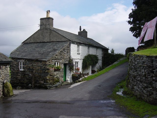
High Oxen Fell Farm. Bearing left, I then headed through Low Oxen Fell down to the main A593 and straight across to the track leading to Hollin Bank. I followed the wall up to the top of the field, through a gate on the left and up to a path past Low Arnside. Turning left at the gate before Iron Keld plantation and up onto Arnside plantation, Black Crag summit was now in view ahead. A steep climb alongside a wall took me to the summit and superb views of the surrounding area now that the drizzle had lifted.
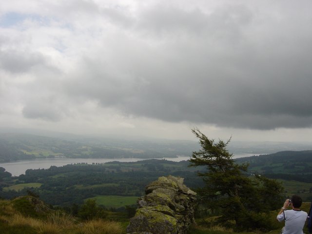
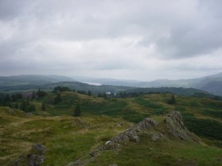
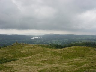
Windermere from the summit of Black Crag. A large cairn is visible to the south east and I headed for this before my descent.
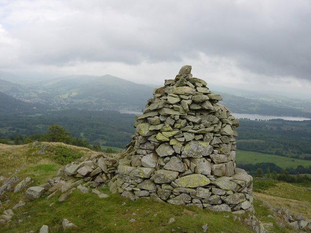
Wansfell Pike across Windermere from the south-east cairn. From here, I headed southwards to the Iron Keld plantation. This has changed beyond recognition recently, last time I was here at Christmas it was a dark forest. Things have now come full circle since Wainwright's days when this was an immature plantation.
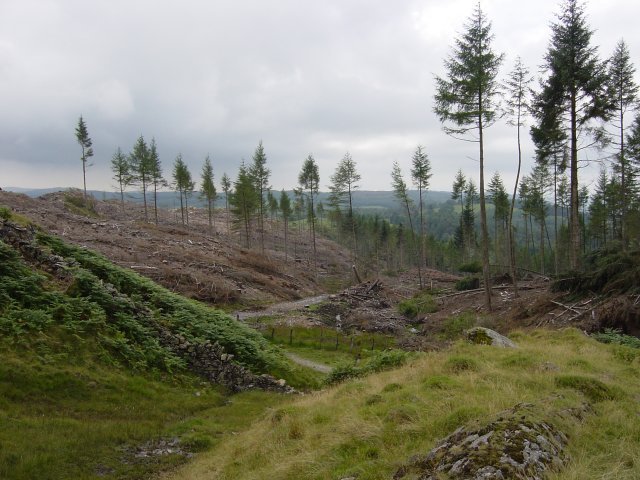
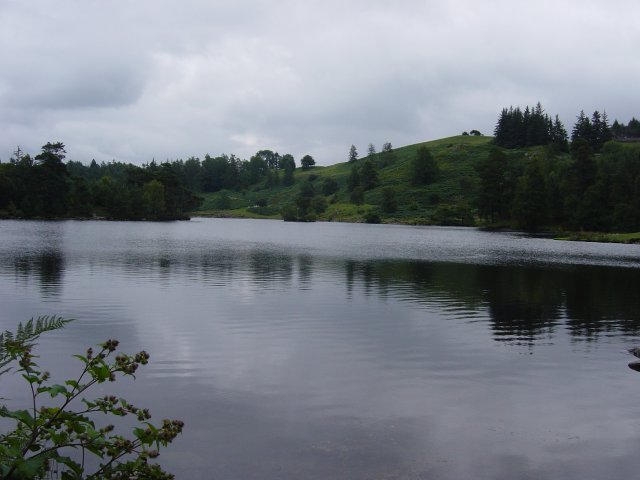
Iron Keld plantation - nearly gone. I headed on through the plantation and turning right, set off down a steep path until the crossroads for Tarn Hows. There is also tree felling work ongoing in Tarn Hows itself, but with a difference as they are using a horse and cart to move the logs. I followed the main Tarn Hows path on its western shore until the outfall stream.

