Height: 873 metres / 2864 feet Grid reference: NY 35861 11722 Category: The Eastern Fells
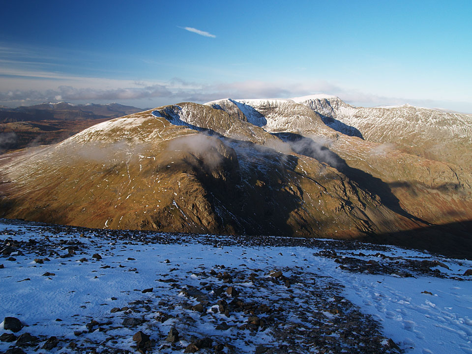
Dollywagon Pike, Nethermost Pike and Helvellyn – plus of course Striding Edge – from the summit of Fairfield
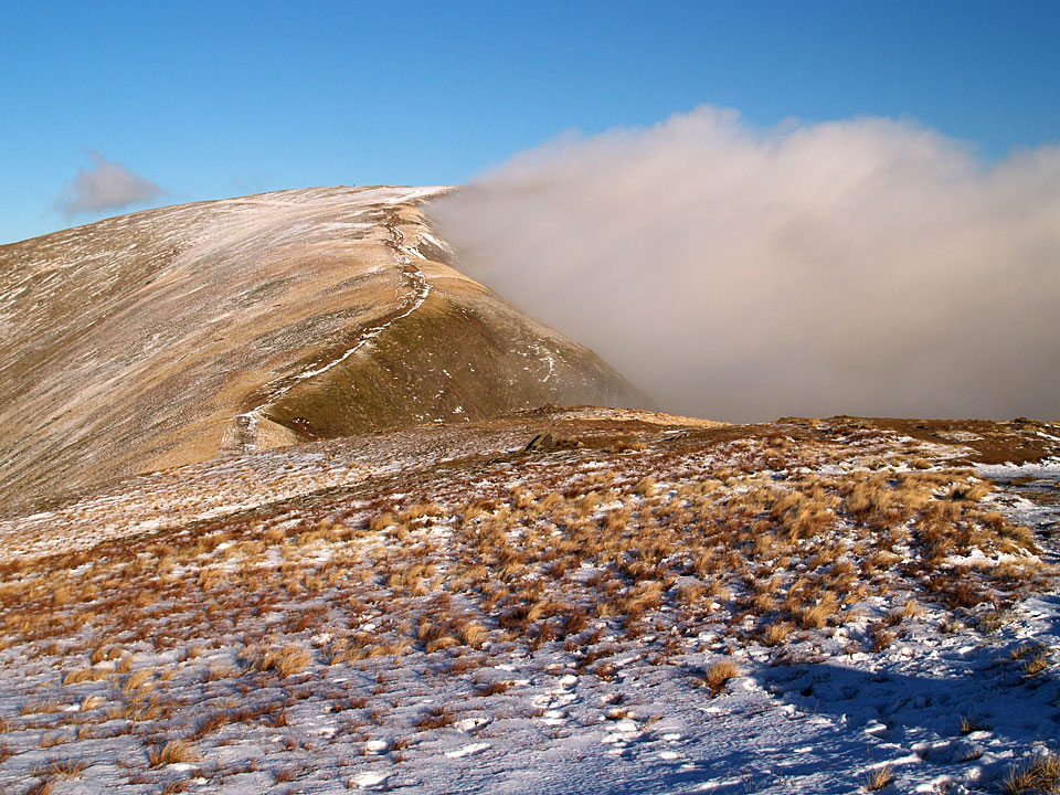
Fairfield from Great Rigg
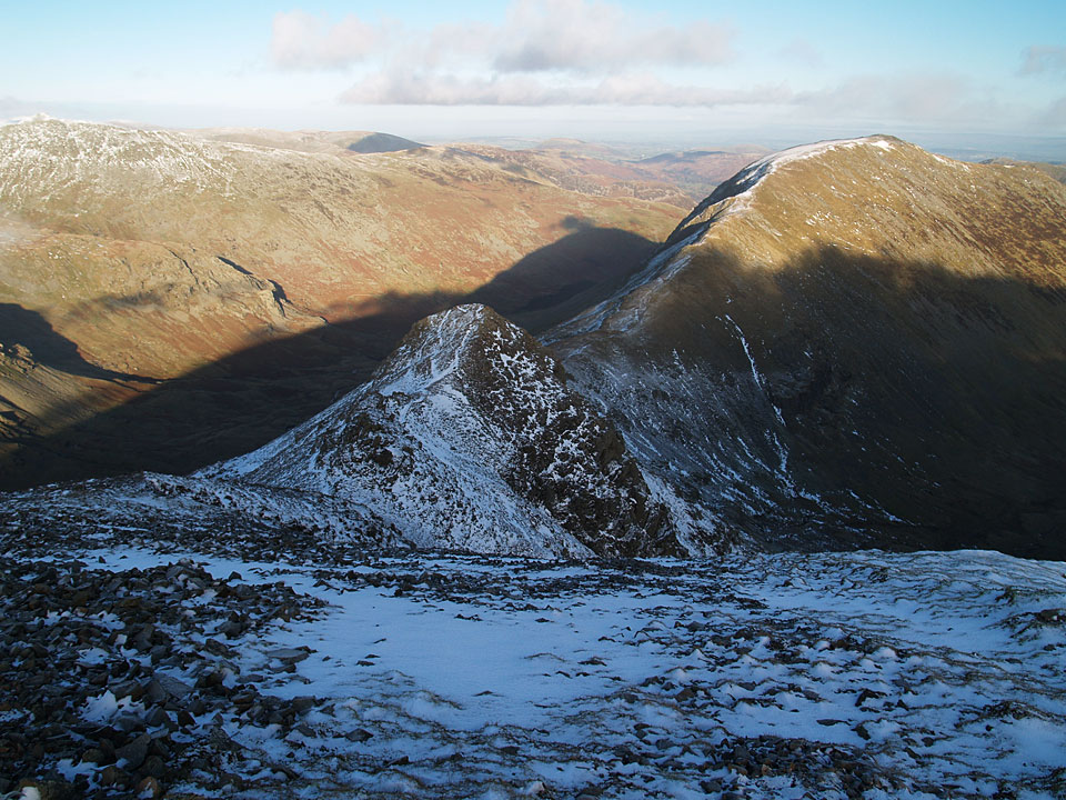
Cofa Pike to the left and Saint Sunday Crag from Fairfield