Striding Edge

A photo diary of Lake District fell walks

  • Walks
  • Fells
    • Wainwrights
      • Eastern Fells
      • Far Eastern Fells
      • Central Fells
      • Southern Fells
      • Northern Fells
      • North Western Fells
      • Western Fells
      • Outlying Fells
    • Birketts
  • Dogs
  • Love The Lakes
  • Contact

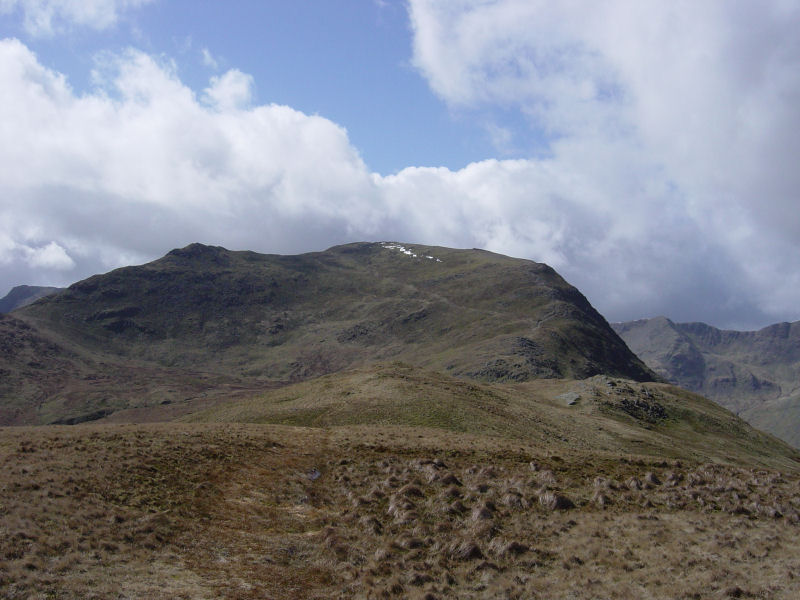
Gavel Pike

Height: 784 metres/2572 feet Grid reference: NY 37340 13438
22nd%20June%20-%20Pinnacle%20Ridge%20029

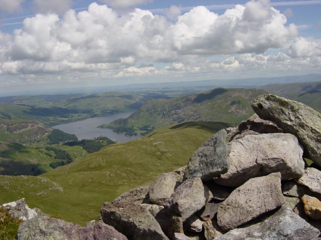
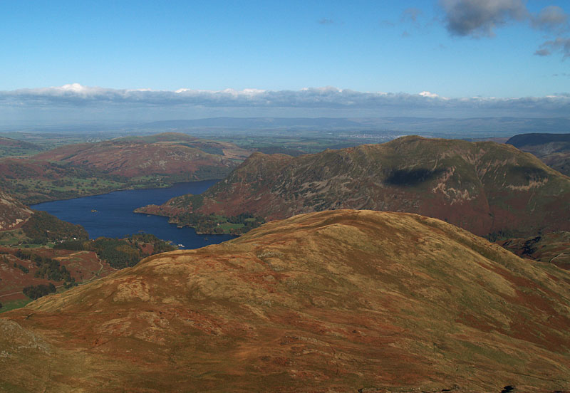
Ullswater and Birks from Gavel Pike

Ullswater and Birks from Gavel Pike

Gavel Pike and Saint Sunday Crag from Birks

Gavel Pike and Saint Sunday Crag from Birks

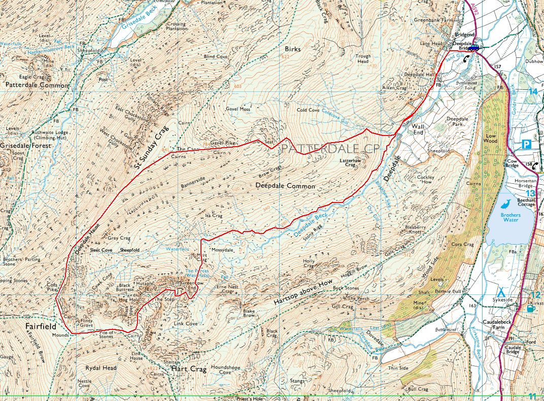
Deepdale Round

Walked on 10/11/2014

Start Point: Deepdale Bridge (NY 399 144)

Deepdale Bridge – Deepdale – Greenhow End – Fairfield – Cofa Pike – Saint Sunday Crag – Gavel Pike – Lord’s Seat – Deepdale Bridge

Distance: 7.3 miles     Total Ascent: 915 metres     Time Taken: 4 hours 30 minutes     Start Time: 09:15

Weather: Overcast with showers, 8°C

The promised clear weather never materialised today, in fact it was the opposite as the clouds and clag closed in as the day went on. I was looking forward to this one as a new route for me, I must go back and do it on a fine day as I think the views would be brilliant from Greenhow End. This route will feature in a future edition of Trail Magazine.
Deepdale

610_6291.jpg

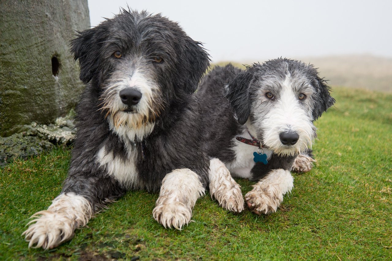
Aw...just look at that little face! Fletcher, now with full fell dog haircut!

610_6292.jpg

Fletcher, full of smiles! On Sunday 9th November I took the dogs out but it was hammering it down in the south Lakes.
610_6345.jpg

Dull at Brown Howe, Coniston Water.

610_6354.jpg

We ended up back at Burney for a quick fell walk. We were completely sodden! On with today's walk...
610_6360

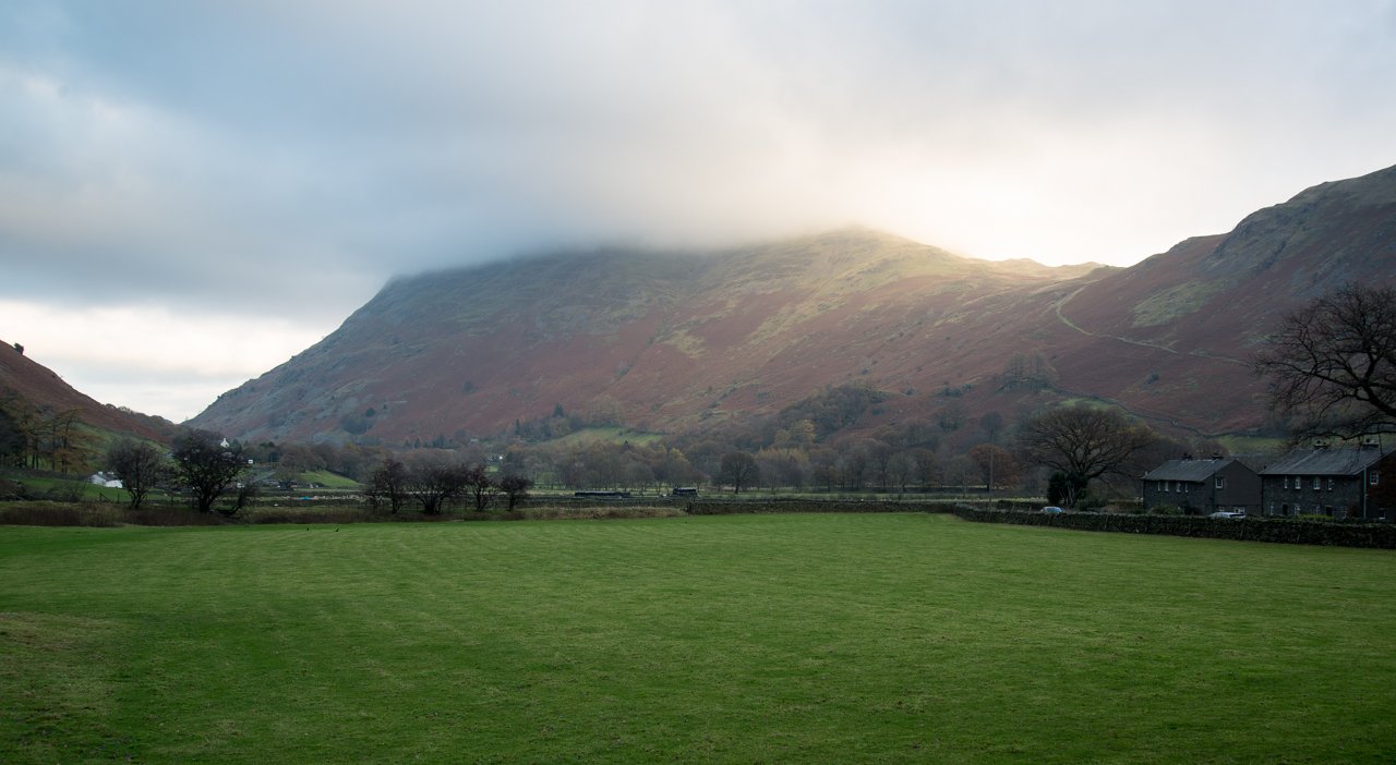
Place Fell from Deepdale Bridge. There was a glimmer of light and it was looking (dare I say it?) promising.
610_6364

Arnison Crag above Lane Head

610_6365

Looking back along the track, Angletarn Pikes up to the right...somewhere

610_6373

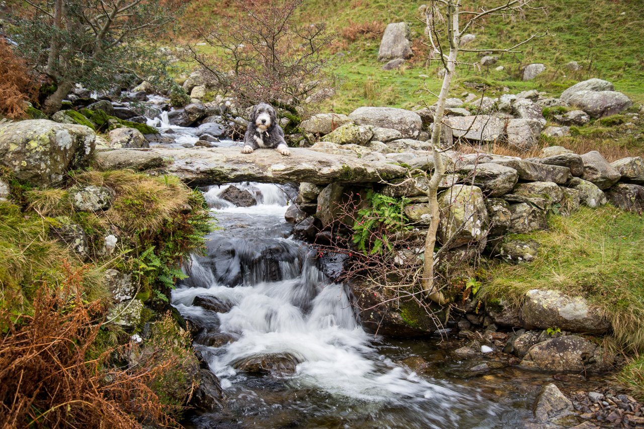
Dougal...down...wait...down...wait...wait...wait...good lad! Dougal posing on the old stone bridge crossing Coldcove Gill
610_6380

Deepdale Beck

610_6381

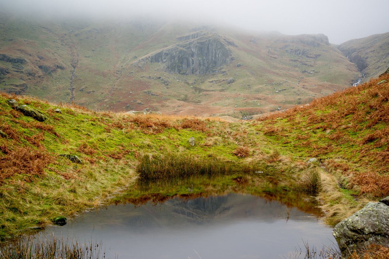
Mart Crag reflected in a small tarn. Above Mart Crag (in the mist) is Greenhow End, today's route of ascent
610_6384

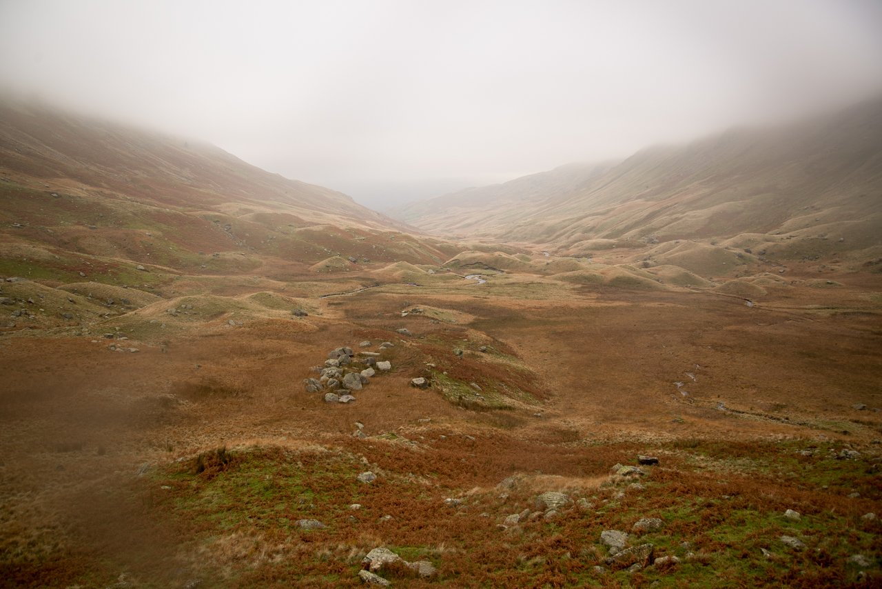
A bit damp and a bit steep climbing up Greenhow End, looking back into Deepdale. There wasn't much to take photos of for a good while after this. Dougal was recognised on Fairfield by a couple of StridingEdge fans, I helped a chap get the right path from Fairfield to Cofa Pike and Dougal was again recognised on the climb to St. Sunday!

610_6389

Nothing to see on St. Sunday (apart from big Doogs!)

610_6392

Heading down to Lord's Seat and a break in the clouds

610_6394

On Lord's Seat, Birks in the distance

610_6399

Looking back up to Lord's Seat and Gavel Pike. It was a bit of a boggy mess descending from here and we were sodden for the second day running! On the way back from our shop in Bowness...

610_6405

Sunshine across Windermere!

Deepdale Horseshoe

Walked on 01/11/2006

Start point: Deepdale Bridge (NY 399 144)

Deepdale Bridge – Gale Crag – Hartsop Above How – Hart Crag – Fairfield – Cofa Pike – Saint Sunday Crag – Gavel Pike –  Birks – Arnison Crag – Deepdale Bridge

Distance: 10.3 miles     Total Ascent: 1431 metres     Time Taken: 4 hours 45 minutes

Weather: Clear and cold, especially on the highest tops. 9oC.

After a cold and frosty night, it was a really clear day today with lovely blue skies and autumnal colours all around Deepdale. The Hartsop above How ridge is a fine walk and the return across Fairfield and St. Sunday Crag makes a lovely circuit of the valley. Angus and Casper managed to get recognised again on St. Sunday Crag by a StridingEdge fan, and (by default) so did I!
01 Deepdale Horseshoe

01.11.06-001

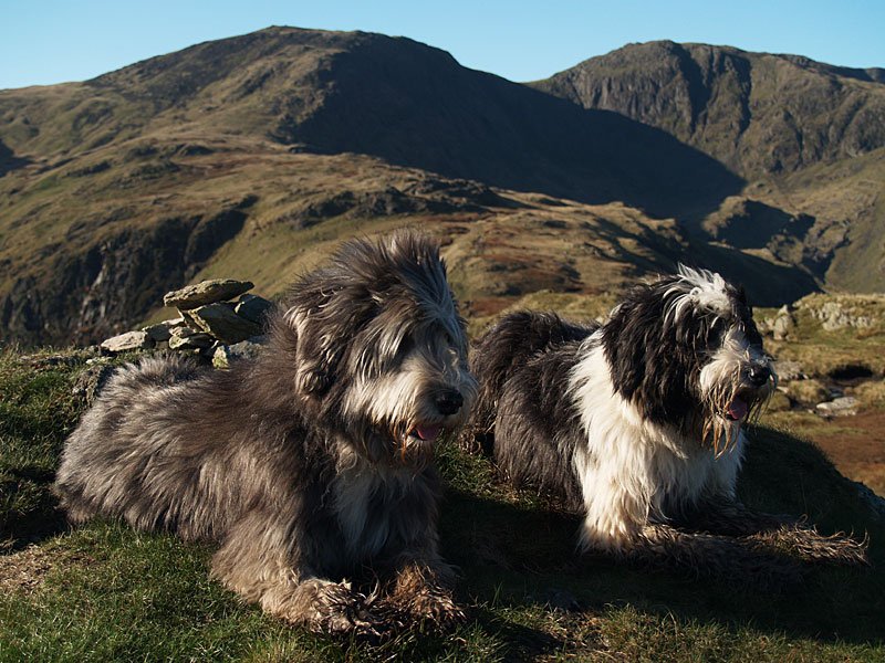
Autumnal Deepdale at the start of the walk.

01.11.06-005

Gavel Pike on St. Sunday Crag from the Hartsop above How ridge.

01.11.06-014

St. Sunday Crag across Deepdale.

01.11.06-016

Looking back to Place Fell.

01.11.06-018

Angletarn Pikes.

01.11.06-021

St. Sunday Crag.

01.11.06-025

Onward and upward - looking back to Place Fell and Angletarn Pikes.

01.11.06-030

Looking along the ridge to Hart Crag and Fairfield.

01.11.06-040

Angus.

01.11.06-052

A pair of Beardies on Hartsop above How. Down below in Dovedale, I could see foxhounds and hear the constant shouts and blowing horn of the huntsmen. Not sure what they hunt these days, though!
01.11.06-061

Looking across an icy pool to Hart Crag and Fairfield.

01.11.06-063

Fairfield.

01.11.06-072

Looking down the Hartsop above How ridge from Hart Crag.

01.11.06-076

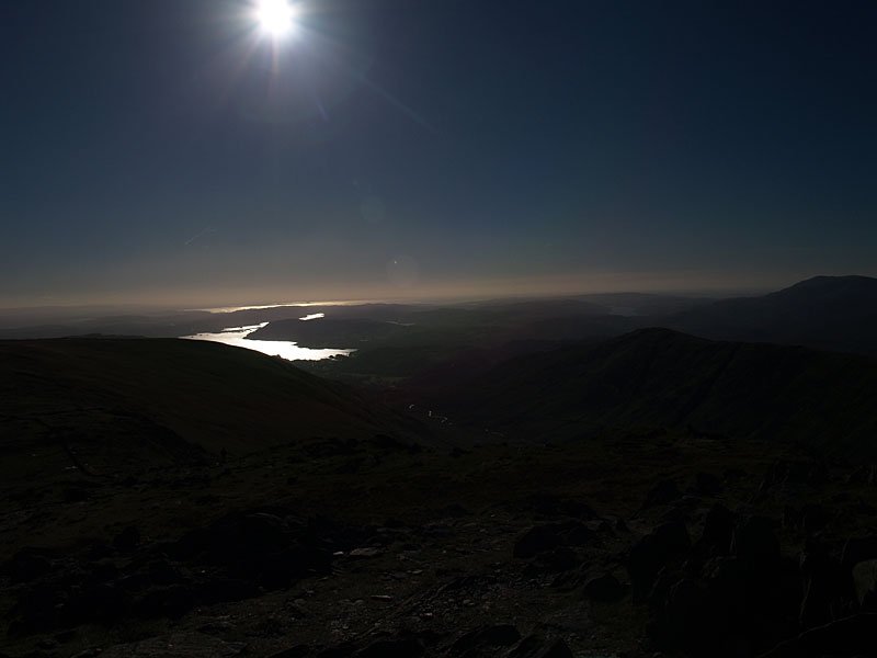
Shooting into direct sunlight, not a good idea - but I liked the way the sun lit up Windermere and Morecambe Bay from Hart Crag.

01.11.06-079

The summit of Hart Crag.

01.11.06-092

The western fells from Fairfield, the familiar shape of Great Gable to the left.

01.11.06-094

...and a wider panorama.

01.11.06-100

Great Gable.

01.11.06-103

Looks busy over on Helvellyn.

01.11.06-111

Dollywagon Pike, Nethermost Pike and Helvellyn across Grisedale.

01.11.06-116

Cofa Pike and St. Sunday Crag.

01.11.06-123

Seat Sandal above Grisedale Tarn and the view westwards beyond from Cofa Pike.

01.11.06-141

Dollywagon Pike.

01.11.06-150

The summit of St. Sunday Crag - it's starting to cloud a bit now.

01.11.06-153

Gavel Pike and the Far Eastern fells from St. Sunday Crag. I could hear the bellowing of stags somewhere down below from here.

01.11.06-159

Ullswater and Birks from Gavel Pike.

01.11.06-161

Birks.

01.11.06-168

Hartsop on the descent from Birks.

01.11.06-170

Ullswater and Great Mell Fell from Trough Head.

01.11.06-174

Hartsop from the summit of Arnison Crag.

01.11.06-179

Just the three of us here on Arnison Crag.

01.11.06-189

Place Fell and Autumn in Deepdale.

Fairfield

Walked on 12/04/2005

Start point: Cow Bridge, Hartsop (NY 403 134)

Cow Bridge – Gale Crag (322) – Hartsop Above How (323) – Hart Crag – Fairfield – Cofa Pike – Saint Sunday Crag –Gavel Pike – Birks (324) – Arnison Crag (325) – Cow Bridge

Distance: 9.7 miles     Total Ascent: 1385 metres     Time Taken: 4 hours

Weather: Sunny with a strong breeze. 8oC in the valley rising to 12oC. Icy cold on the tops.

I had a great high level ridge walk today along the Hartsop above How ridge, up to Hart Crag and Fairfield and then back down along the Saint Sunday ridge. It was a pleasant surprise to see the sunshine, but it was deceptively cold on the tops with a bitter wind blowing. With hindsight I would have been better off starting and finishing at Deepdale Bridge and walking the full Hartsop above How ridge.

Fairfield

Fairfield route map.

Elevation

Elevation profile of the route.

Fairfield 3D

3D image of the walk route.

Fairfield - 12th April 005

Caudale Moor, Kirkstone Pass and Red Screes in early sunlight from the steep ascent to the Hartsop Above How ridge.

Fairfield - Panorama1_small

Hartsop Dodd over Brothers Water. To the left are Gray Crag and High Street.

Fairfield - 12th April 014

Place Fell from Gale Crag summit. Great Mell Fell can be seen to the left.

Fairfield - Panorama2_small_annotated

The view along the ridge from the summit of Hartsop above How.

Fairfield - 12th April 021

Dove Crag.

Fairfield - 12th April 026

Looking back along Hartsop above How from Hart Crag.

Fairfield - 12th April 029

The view from Rydal Head. Windermere, Esthwaite Water and Coniston Water are all visible.

Fairfield - Panorama3_small

Fairfield summit.

Fairfield - 12th April 041

Cofa Pike to the left and Saint Sunday Crag.

Fairfield - Panorama4_small

Grisedale Tarn and the Dollywagon Pike - Nethermost Pike - Helvellyn ridge.

Fairfield - 12th April 052

Striding Edge and Helvellyn from Saint Sunday Crag. The peak of Catstycam is to the right, then Raise and the Dodd's.

Fairfield - 12th April 058

Gavel Pike and Saint Sunday Crag from Birks.

Fairfield - 12th April 064

Ullswater from Arnison Crag.

Fairfield - 12th April 070

Arnison Crag.

Pinnacle Ridge

Walked on 22/06/2004

Start point: Patterdale (NY 390 160)

Patterdale – Pinnacle Ridge – Gavel Pike (72) – Saint Sunday Crag (73) – Cofa Pike (74) – Fairfield (75) – Seat Sandal (76) – Grisedale Tarn – Patterdale

Weather: Sunny and warm.

Another fine and warm day today for a climb up to Saint Sunday Crag using a new route (for me) to the summit, Pinnacle Ridge, a serious and quite challenging technical grade 3 scramble.

The route begins following the Grisedale Valley path until the far edge of Elmhow Plantation is reached.
Pinnacle-Ridge

22nd June - Pinnacle Ridge 001

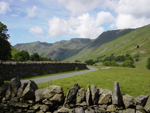
Nethermost Pike, Dollywagon Pike and Helvellyn from the entrance to the Grisedale Valley. Following the zigzag path up the slopes of St. Sunday Crag from Elmhow Plantation, a grassy terrace is reached. From here it is a right turn to traverse across the horizontal terrace. On reaching a scree fan, Pinnacle Ridge can be seen above with a large, smooth prominent slab clearly visible. This is known as 'The Cannon'.
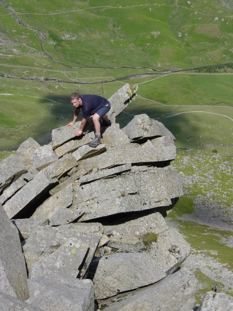
22nd June - Pinnacle Ridge 005

Ullswater from the horizontal terrace.

22nd June - Pinnacle Ridge 006

Climbing 'The Cannon'...

22nd June - Pinnacle Ridge 008

and the view from the top of The Cannon.

22nd June - Pinnacle Ridge 013

Onwards and upwards from the Cannon

22nd June - Pinnacle Ridge 011

...and again - don't slip! Past The Cannon, the ridge continues over further prominent pinnacles until a difficult rock pitch is reached.
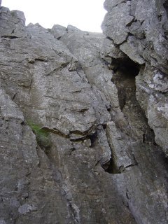
22nd June - Pinnacle Ridge 019

Climbing the difficult rock pitch. Once this is climbed, its virtually home and dry to reach the lower slopes of Saint Sunday Crag. This is truly an exhilarating way to reach the summit.
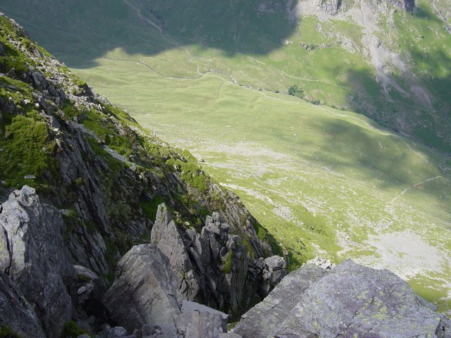
22nd June - Pinnacle Ridge 022

22nd June - Pinnacle Ridge 028

Looking down Pinnacle Ridge to the Grisedale Valley below. Once onto St Sunday ridge, it is eastwards first to the 'thumb' of Gavel Pike offering a great view of Ullswater.
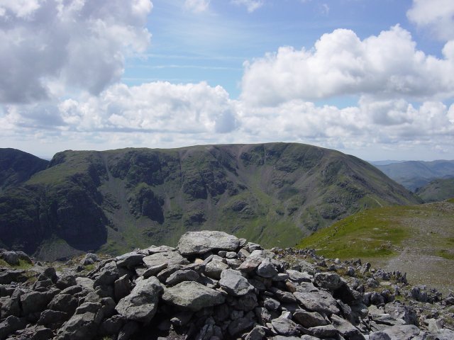
22nd June - Pinnacle Ridge 029

Ullswater from Gavel Pike. Then an easy ascent to the summit of Saint Sunday Crag itself.

22nd June - Pinnacle Ridge 034

Crinkle Crags and Bowfell from the slopes of Saint Sunday Crag.

22nd June - Pinnacle Ridge 037

Fairfield from Saint Sunday Crag summit. A descent to Deepdale Hause then another ascent to Cofa Pike before the final rocky ascent to Fairfield - a flat, bouldery plateau.
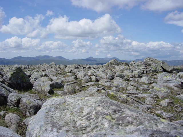
22nd June - Pinnacle Ridge 041

Seat Sandal and Grisedale Tarn from the descent to Deepdale Hause.

22nd June - Pinnacle Ridge 043

Looking back to Saint Sunday Crag and Gavel Pike from Cofa Pike summit.

22nd June - Pinnacle Ridge 052

Bowfell, The Scafell range and Great Gable from the bouldery summit of Fairfield. From Fairfield it's a steep descent westwards and then a very steep ascent to the summit of Seat Sandal which offers good views over Grasmere.

22nd June - Pinnacle Ridge 053

Seat Sandal summit. From Seat Sandal, a steep descent to Grisedale Tarn and follow the Grisedale Valley path back to Patterdale.

22nd June - Pinnacle Ridge 059

Saint Sunday Crag from Grisedale Valley. Pinnacle Ridge is up there somewhere.

Walking Diary

  • The Mosedale Horseshoe 01/03/2022
  • Caw 18/01/2022
  • Coniston sunset 17/01/2022
  • Blencathra 15/01/2022
  • Scafell Pike 14/01/2022

Social

  • Facebook
  • Twitter

Information

  • Striding Edge
  • T&C’s
  • Privacy
  • Links