Height: 699 metres / 2293 feet Grid reference: NY 42675 11882 Category: The Far Eastern Fells
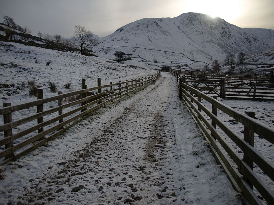
Sun rising over Gray Crag from the corrals at Hartsop
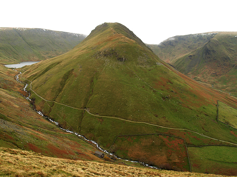
Gray Crag with Hayeswater now in view
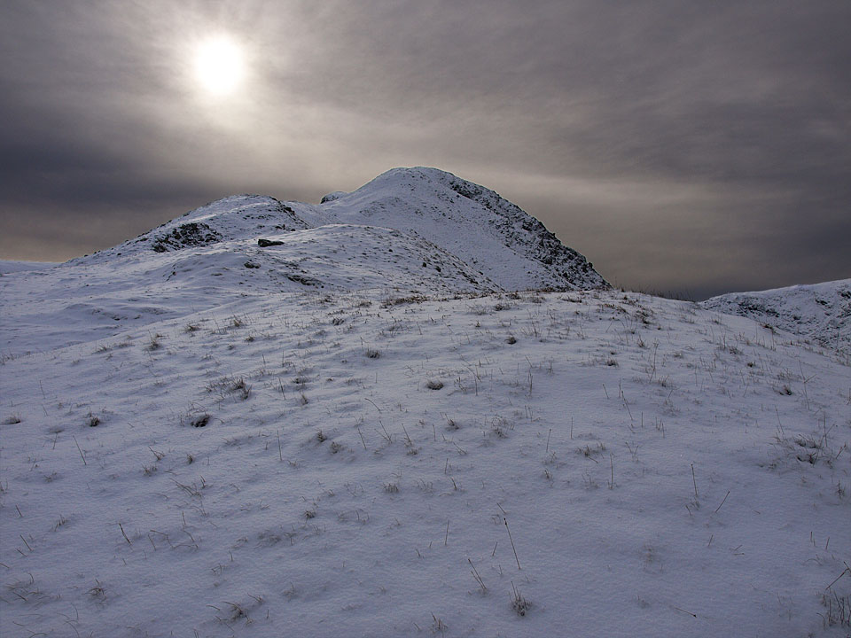
Strange light over Gray Crag from the start of the plateau
Height: 699 metres / 2293 feet Grid reference: NY 42675 11882 Category: The Far Eastern Fells

Sun rising over Gray Crag from the corrals at Hartsop

Gray Crag with Hayeswater now in view

Strange light over Gray Crag from the start of the plateau
Walked on
Start point: Hartsop (NY 410 130)
Hartsop – Gray Crag – Thornthwaite Crag – High Street – Straits of Riggindale – The Knott – Hayeswater – Hartsop
Distance: 7 miles Total Ascent: 770 metres Time Taken: 4 hours 15 minutes
Weather: Mostly clear. 2°C.
I managed to get over Kirkstone Pass this morning even though it was pretty icy again. This is the fourth walk in a row in the same area, I guess I am just drawn over that way at the moment for some reason. The weather prediction was for great clarity today and it was indeed clear all morning, but the sun did not quite manage to get through the cloud although there were some quite amazing skies over the snowy fells.
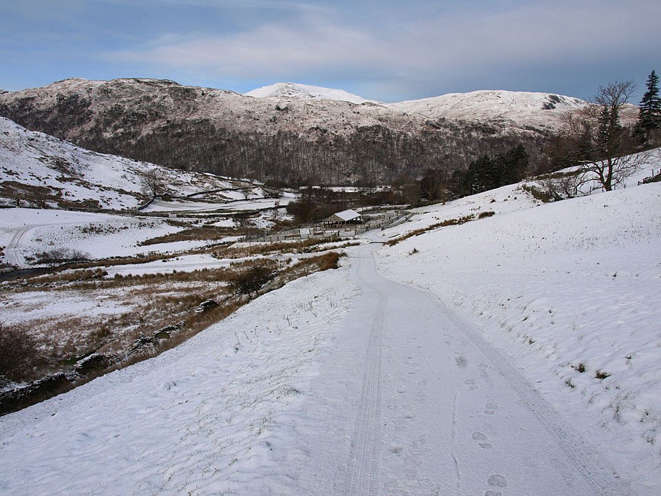
Looking back to Hartsop from the path to Hayeswater, St Sunday Crag beyond the Hartsop above How ridge.
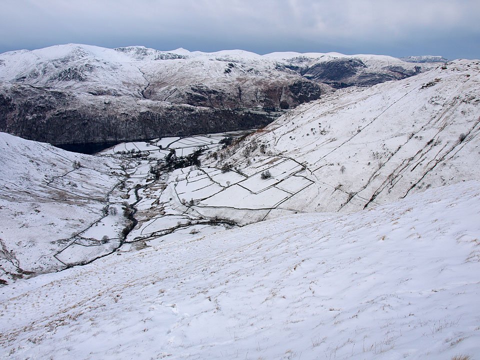
Despite not being sunny there was great clarity today, looking across to Helvellyn with a corner of Brothers Water visible below. Blencathra is visible on the far right.
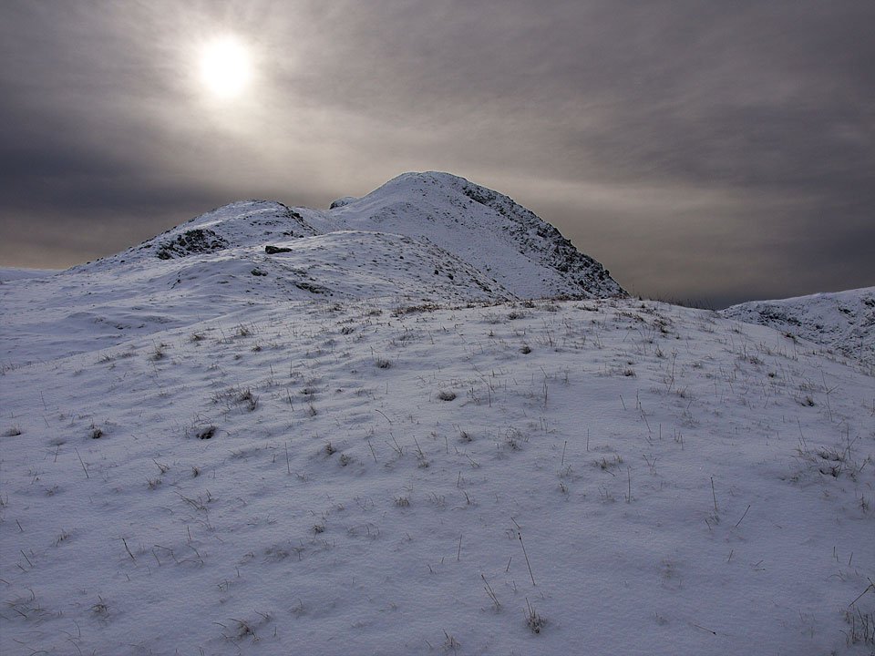
Strange light over Gray Crag from the start of the plateau as the sun was trying to break through the great sheet of cloud that hung over the fells.
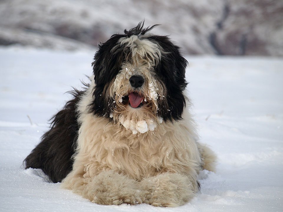
Casper was not keen on the soft new snow today as it kept balling up on his fur, as he demonstrates here with his snowball beard!
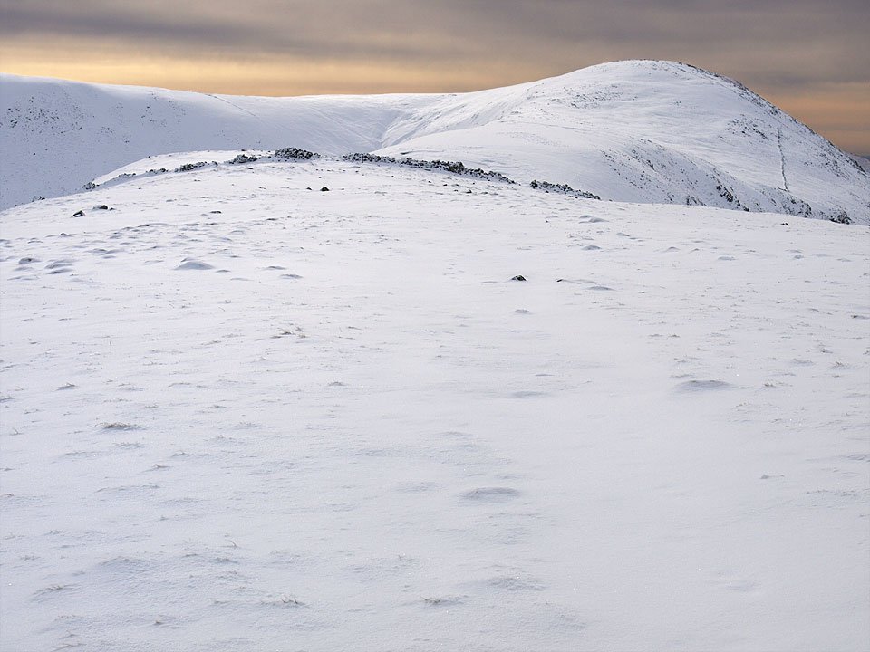
Heading for Thornthwaite Crag from Gray Crag. The sky was amazing as the sun continue to try and burn through the cloud. It looked like sunrise even though it was 10.15 when this photo was taken.
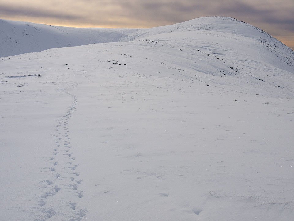
What a slog it was to get this far in the deep, virgin snow (apart from the fox tracks in this photo that is. These tracks went all the way round to High Street so perhaps Fantastic Mr Fox was doing the same round as me!) but well worth it. It was a great day to be up here.
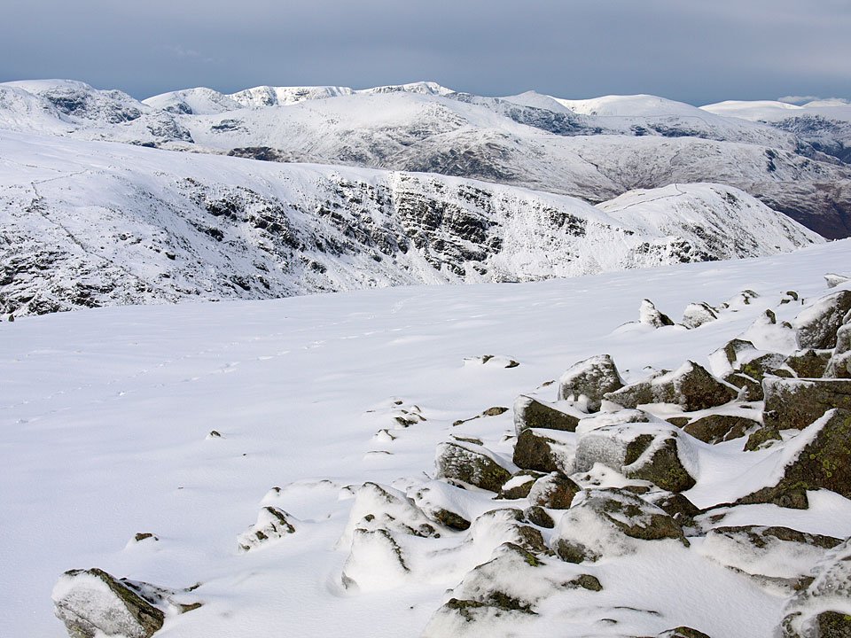
The sun was starting to shine through now, here looking to the north-west where it is still lovely and clear.
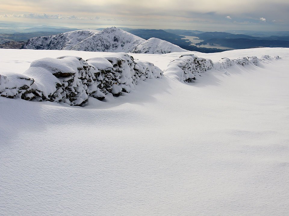
The Ill Bell ridge and Windermere from High Street Roman Road (well, I think I was on it - I couldn't make out any paths!).
Walked on
Start point: Hartsop (NY 410 130)
Hartsop – Hartsop Dodd – Caudale Moor (Stony Cove Pike) – Threshthwaite Mouth – Gray Crag – Hartsop
Distance: 5.5 miles Total Ascent: 775 metres Time Taken: 2 hours 45 minutes
Weather: Initially clear then cloud. 10oC.
I didn’t know what to expect today, I certainly didn’t expect any clear photos as it was raining so much! As I went over Kirkstone Pass, there was a certain amount of clarity around Hartsop, so that’s what I settled on. The clouds were hanging around in thick layers in the valleys but eventually it lifted to cover the tops and the highest part of the walk was completed in the mist.
Walked on
Start point: Hartsop (NY 410 130)
Hartsop – Gray Crag (110) – Thornthwaite Crag (111) – High Street – The Knott (112) – Rest Dodd (113) – The Nab (114) – Satura Crag – Angle Tarn Pike South (115) – Angletarn Pike North (116) – Brock Crags (117) – Hartsop
Weather: Overcast, some rain later.
Another walk chosen by my 13 year old son today, principally to take in some wildlife; the promise of wild ponies on Thornthwaite Crag, a Golden Eagle over Riggindale and deer in the Martindale Deer Forest spurring him into action. Of course, there was also the lure of walking in the footsteps of Roman soldiers across High Street.
From the car park through the hamlet of Hartsop, we followed the old mine road along Hayeswater Gill and over Wath Bridge.
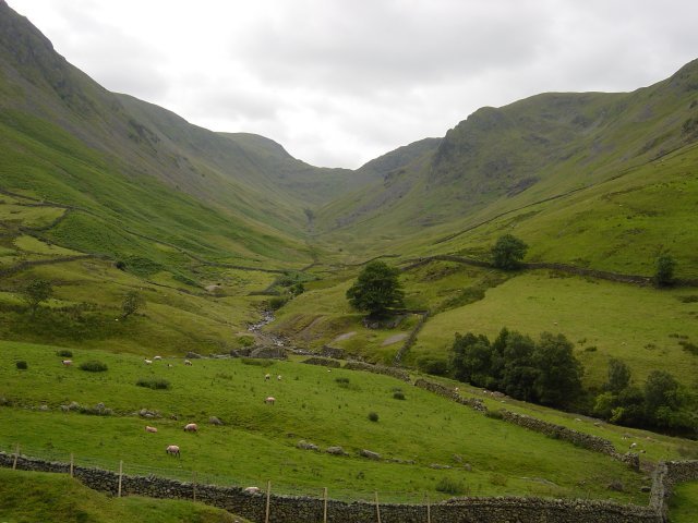
Threshwaite Mouth from the Hayeswater Gill path. We decided to ascend Gray Crag by the direct route - straight up the sickeningly steep nose leading directly to the summit.
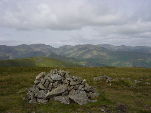
The Eastern Fells from the summit of Gray Crag, Catstycam is the conical peak on the right. From the summit, it is a simple stroll along the grassy undulations to Thornthwaite Crag, sometimes referred to as Thornthwaite Beacon due to the distinctive 14 feet high column on its summit.
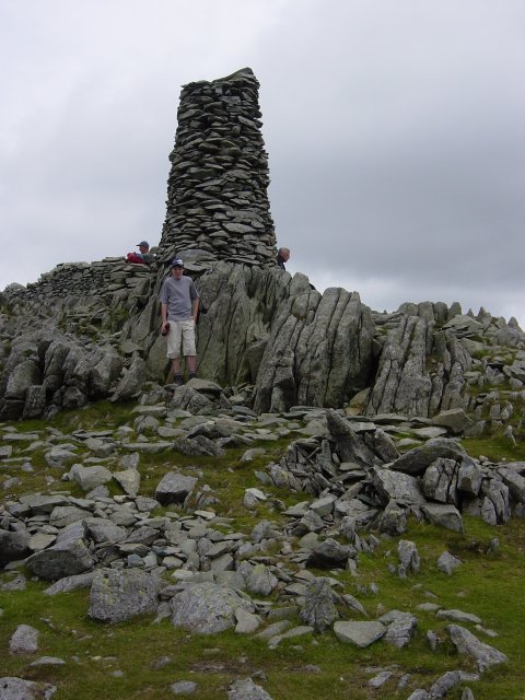
Thornthwaite Beacon. From the beacon the path U-turns on to the Roman road and follows the gentle rise to the summit of High Street.
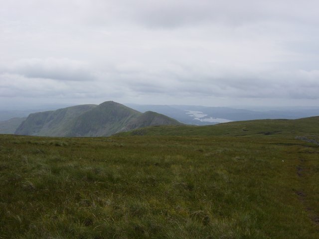
Yoke, Ill Bell, Froswick and Windermere from the Roman road on High Street. We then left the Roman road to cross the wall which traverses the summit plateau and headed for the trig. column that marks the highest point.
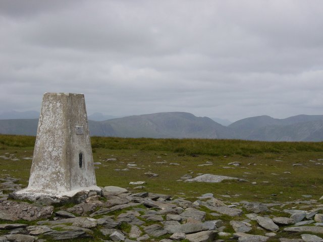
The summit of High Street looking to Fairfield and Dollywagon Pike. From the summit, we headed over to the Eastern side of the fell to look over Haweswater and along Riggindale with binoculars out trying to spot the Golden Eagle. Oh dear, no wild ponies and no eagle!
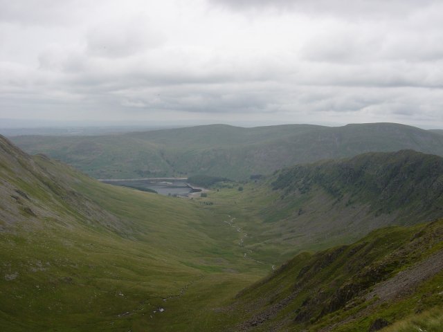
A view along Riggindale to Haweswater. After returning to the Roman road, it was a simple climb to the summit of The Knott.
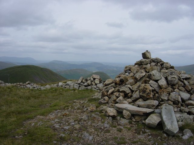
The Knott summit with Rest Dodd near left and The Nab to the right. From The Knott, a steep descent/ascent following the wall took us to the summit of Rest Dodd.
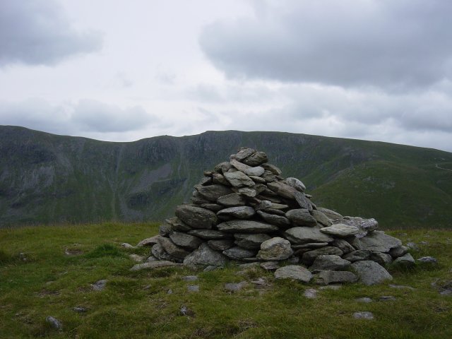
Rampsgill Head from the summit of Rest Dodd. Again from Rest Dodd, it was straight over the nose and onward over the difficult peat hag terrain of the Deer Forest to The Nab.
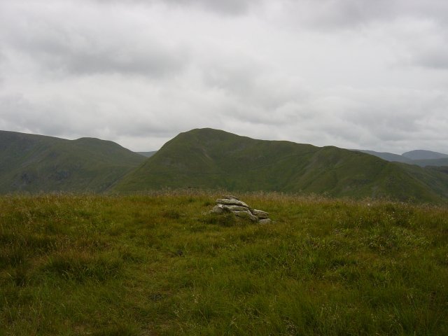
Rest Dodd from the summit of The Nab. Then it was back along the same peaty path to the wall - at last we were rewarded with the sight of a deer herd. We then followed the wall over to Satura Crag and then skirted Angle Tarn to ascend the northern top of Angletarn Pikes quickly followed by the southern top as the rain set in.
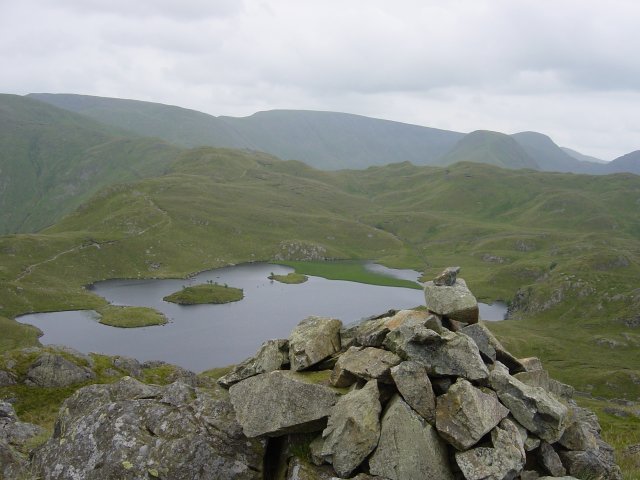
Angle Tarn from the southern summit of Angletarn Pikes. Skirting around the other side of Angle Tarn, we ascended directly to the summit Brock Crags with views over Hartsop and Brothers Water.
Walked on
Hard Knott Roman Fort – Hard Knott (25) – Hard Knott Pass
The next walk was 27th May 2003 as follows:
Hartsop – Hayeswater – The Knott (26) – Rampsgill Head (27) – High Raise (28) – Kidsty Pike (29) – High Street (30) – Thornthwaite Crag (31) – Gray Crag (32) – Hartsop
