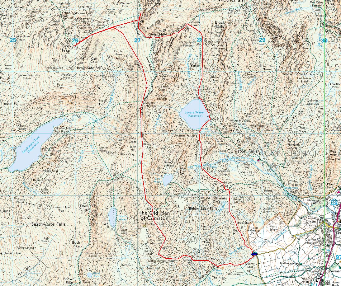
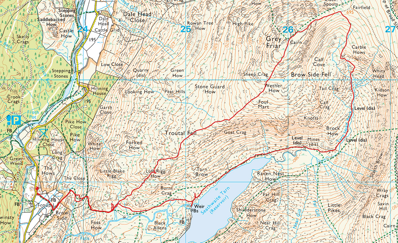
Start point: Troutal, Duddon Valley (SD 234 983)
Troutal – Troutal Fell – Grey Friar south-west ridge – Grey Friar – Fairfield col – Seathwaite Tarn – Troutal
Distance: 6.1 miles Total Ascent: 643 metres Time Taken: 3 hours 30 minutes Start Time: 11:20
Weather: Cold wind. 7°C.
There was an arctic blast again today with snow and hail falling on the higher ground and the wind was biting to say the least. It was very quiet on the fells, I didn’t see a soul anywhere but I guess a lot of Cumbrians have fair bit of clearing up to do after the floods unfortunately.

The start of the walk heading for Browside.

The grass gully that climbs to the south-west ridge.

Steeper than it looks.

Looking back down from the top.

There was the odd fleeting bright spell but the wind was a bit raw up here.

Looking over Seathwaite Tarn.

Harter Fell across the Duddon Valley.

The south-west ridge.

Dow Crag and Seathwaite Tarn.

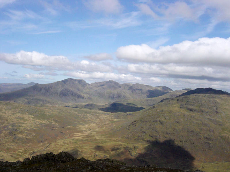
Brim Fell and The Old Man.

Sunburst.

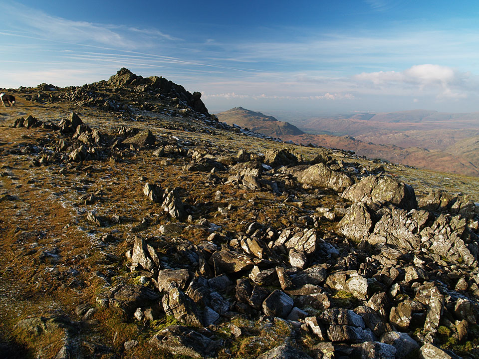
On the summit plateau.

Swirl How to The Old Man.

Grey Friar summit.

Windswept Dougal and Fletcher.

Looking back towards the way just walked from the summit.

The view from the north-west cairn.

Looking towards The Langdales from Matterhorn Rock.

Which way Fletcher? Looking across the Fairfield col to Great Carrs and Swirl How.

Descending into Calf Cove.

Dow Crag beyond the prominent perched boulder.

'Big perched boulder, Calf Cove' (Grey Friar 6)

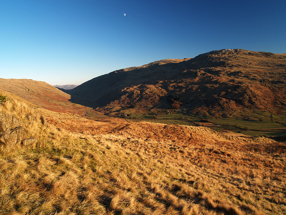
Looking up Tarn Head Beck from the old mine workings.

Tarn Head Beck.

Down at Seathwaite Tarn.

There wasn't a soul around today.

The dam wall.