Height: 770 metres / 2526 feet Grid reference: NY 18566 22165 Category: The North Western Fells
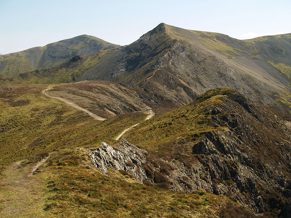
The path to Hopegill Head with Grisedale Pike beyond from the east top of Whiteside
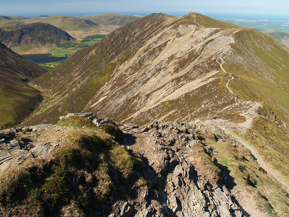
Looking back along the Hopegill Head arête to Whiteside from the summit.
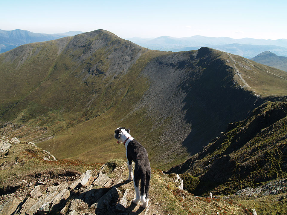
Casper peering into Hobcarton below Grisedale Pike from Hopegill Head
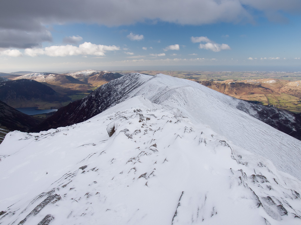
Whiteside and a glimpse of Crummock Water from Hopegill Head summit


