Striding Edge

A photo diary of Lake District fell walks

  • Walks
  • Fells
    • Wainwrights
      • Eastern Fells
      • Far Eastern Fells
      • Central Fells
      • Southern Fells
      • Northern Fells
      • North Western Fells
      • Western Fells
      • Outlying Fells
    • Birketts
  • Dogs
  • Love The Lakes
  • Contact

Coledale Round

Walked on 06/11/2006

Start point: Braithwaite (NY 227 237)

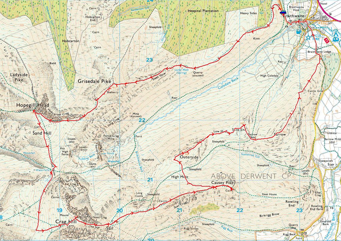
Braithwaite – Kinn – Grisedale Pike – Hobcarton Head – Hopegill Head – Sand Hill – Coledale Hause – Crag Hill – Sail – Scar Crags – Causey Pike – Outerside – Stile End – Barrow – Braithwaite

Distance: 11 miles     Total Ascent: 1430 metres     Time Taken: 4 hours 35 minutes

Weather: Initially dull and cool turning to blue skies and sunshine. 12oC.

It was certainly a day of two halves today – the ascent to Grisedale Pike was done under dull skies with an increasingly cold wind that lasted until the descent of Sail when the skies ahead suddenly started clearing to reveal blue skies and sunshine. It wasn’t quite what we had last week, but I wasn’t complaining – it could have been much worse.
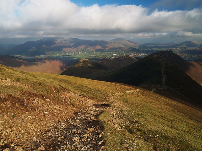
01 Coledale Round

06.11.06-003

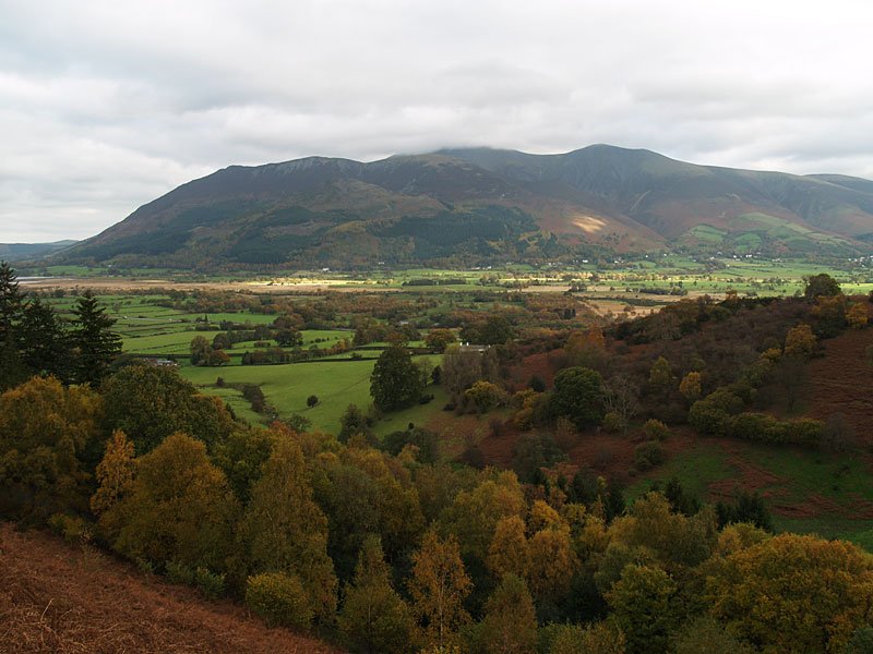
Skiddaw from the climb up to Kinn.

06.11.06-011

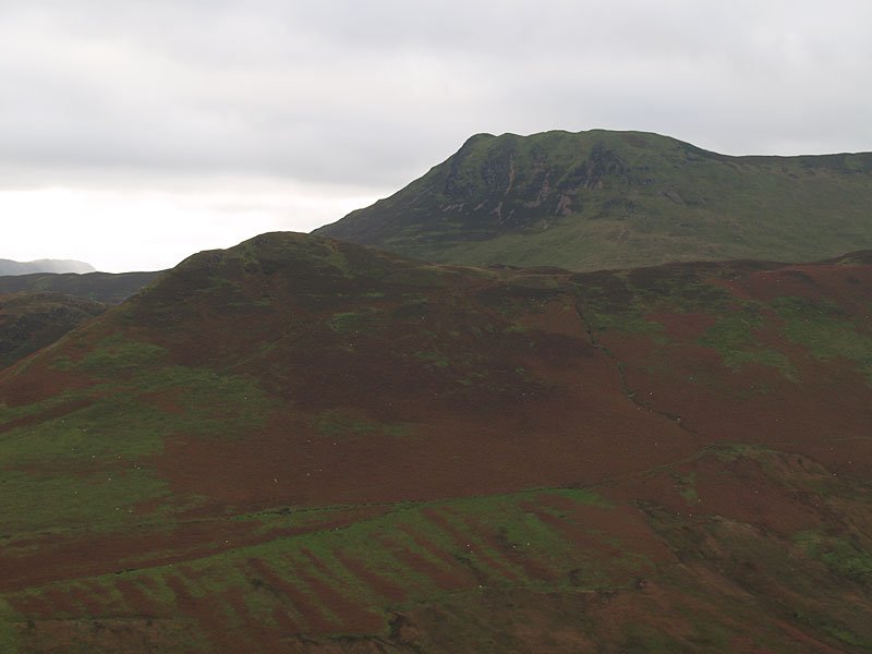
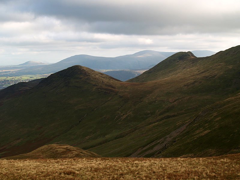
Looking across Coledale to Barrow and Causey Pike.

06.11.06-015

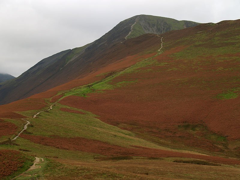
The steep ascent to Grisedale Pike.

06.11.06-020

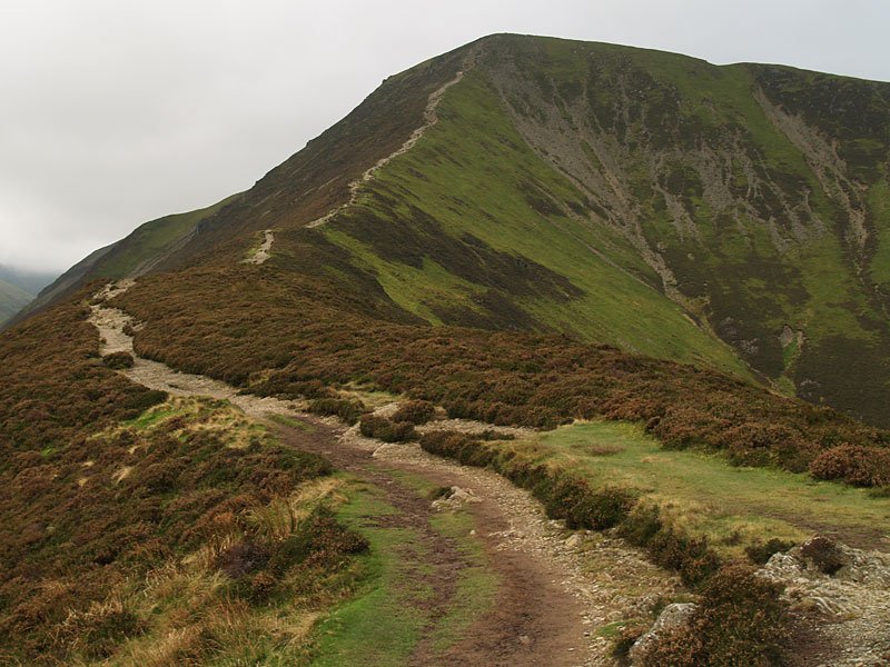
...and from further up.

06.11.06-022

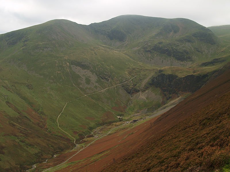
Sail and Crag Hill at the head of Coledale, Force Crag mine workings below.

06.11.06-029

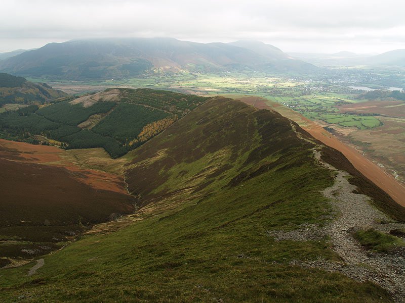
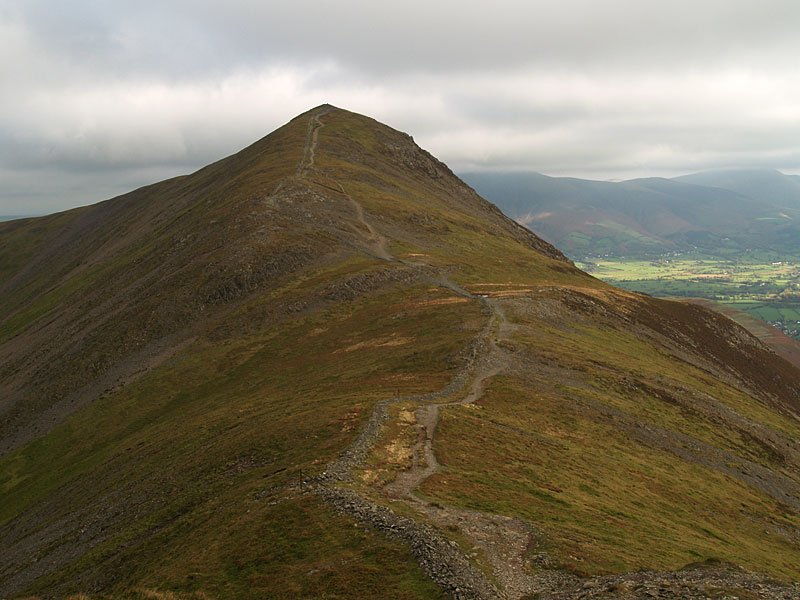
Looking back along the eastern ridge used to climb Grisedale Pike.

06.11.06-048

Sand Hill and Hopegill Head.

06.11.06-050

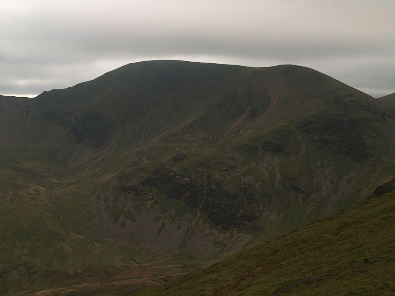
Crag Hill.

06.11.06-054

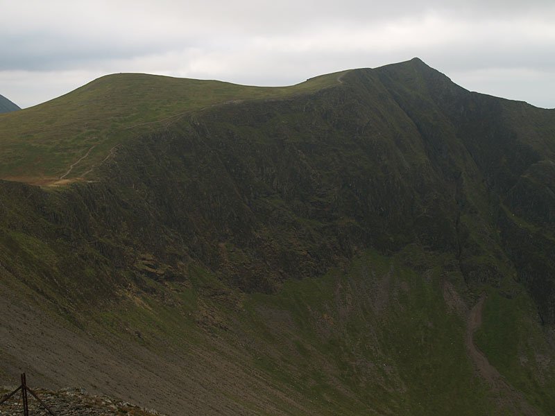
Looking back to Grisedale Pike from Hobcarton Head.

06.11.06-063

Whiteside from Hopegill Head, Crummock Water and Mellbreak in view to the left.

06.11.06-069

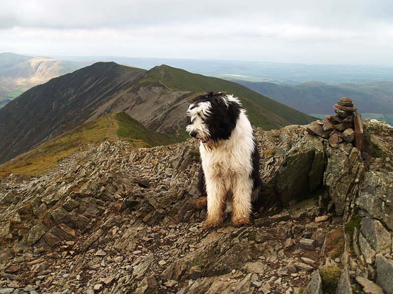
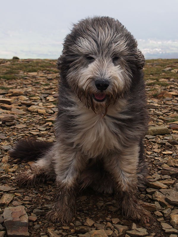
Casper on Hopegill Head.

06.11.06-075

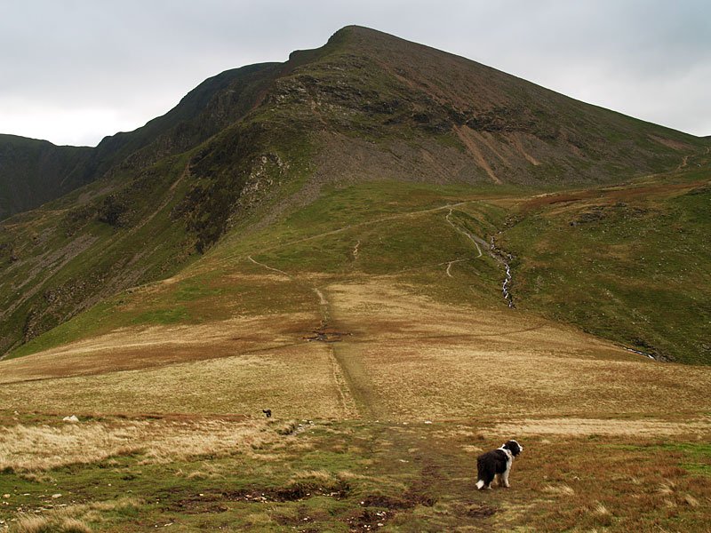
Looking across Coledale Hause to Crag Hill, the path used in ascent leads off to the right.

06.11.06-078

Outerside and Causey Pike.

06.11.06-087

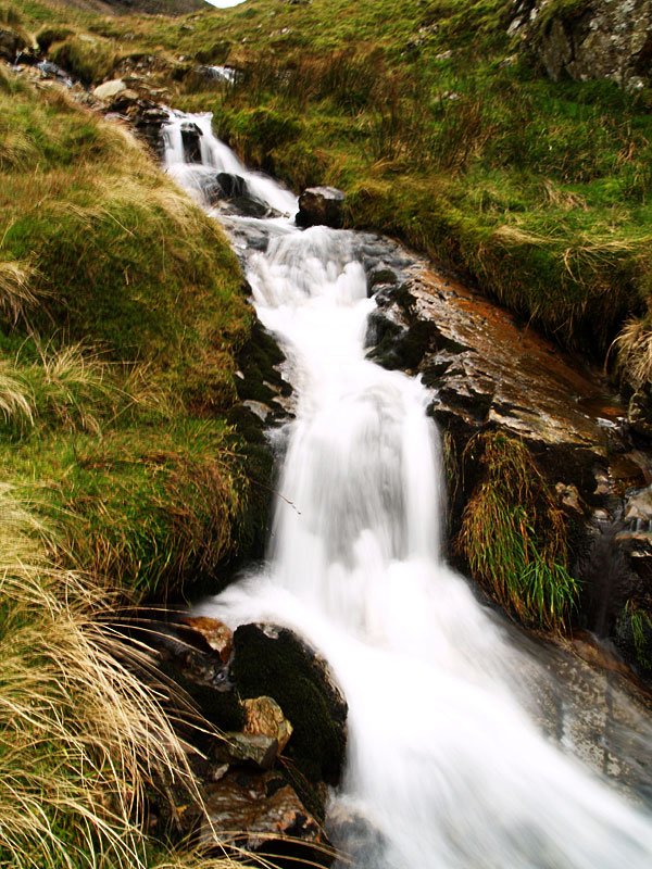
'She'll carry on through it all, she's a waterfall...'

06.11.06-095

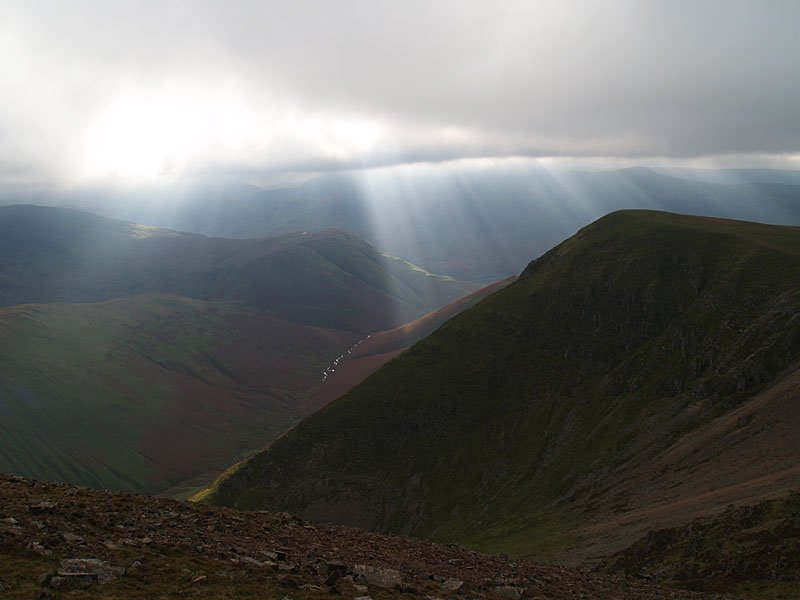
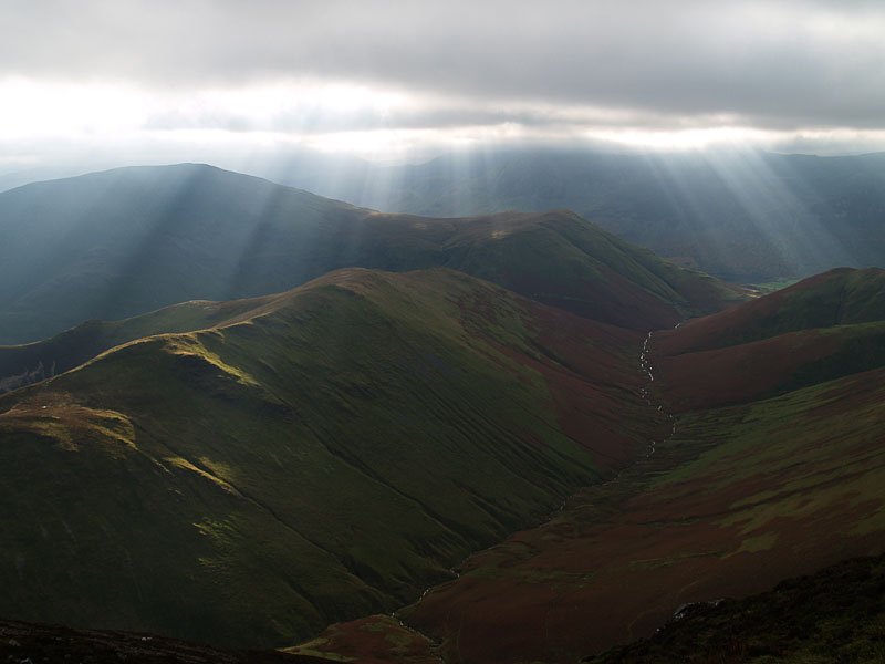
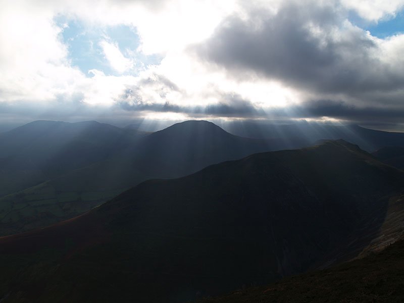
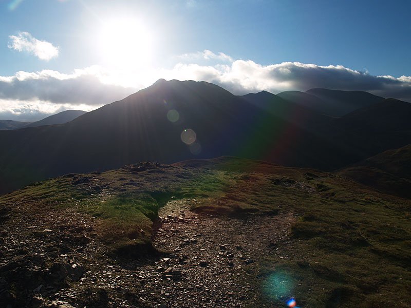
Sunrays over High Snockrigg and Wandope.

06.11.06-096

The sun lights up Outerside from a misty Crag Hill summit.

06.11.06-104

Angus shows how windy it was on Crag Hill. It was a cold blast too.

06.11.06-111

More sunrays on Knott Rigg.

06.11.06-125

As if by magic...blue sky and sun appear descending from Sail towards Scar Crags. Outerside, Stile End and Barrow are the three peaks in the centre with the bulk of Skiddaw and Blencathra beyond.
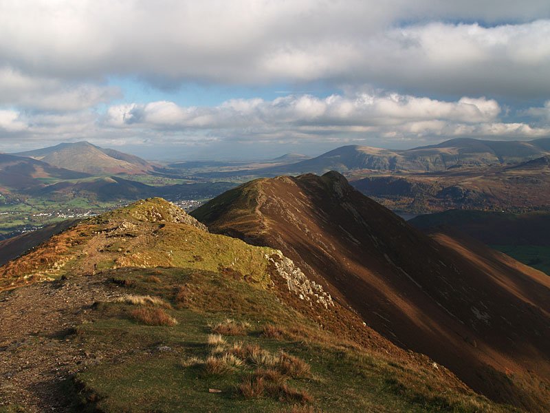
06.11.06-134

Causey Pike from Scar Crags. Blencathra is to the left then Great Mell Fell, Clough Head and Great Dodd.

06.11.06-141

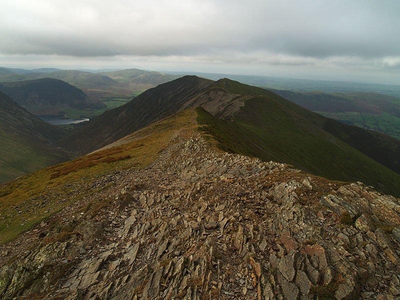
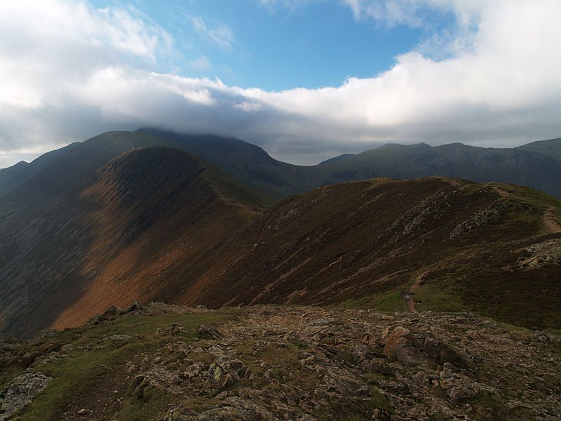
Looking back along the ridge just descended to Crag Hill, the summit still in cloud.

06.11.06-143

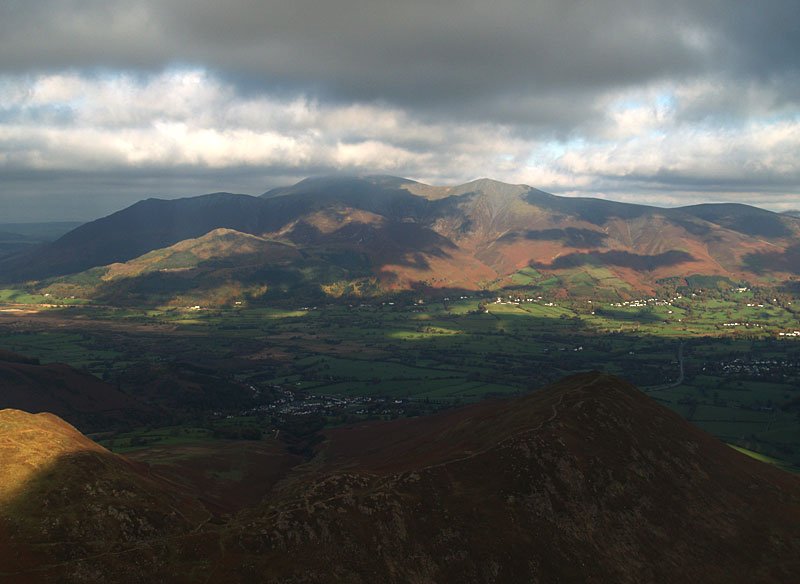
Skiddaw over Barrow.

06.11.06-151

'Here's to you (Mrs) Robinson.'!

06.11.06-157

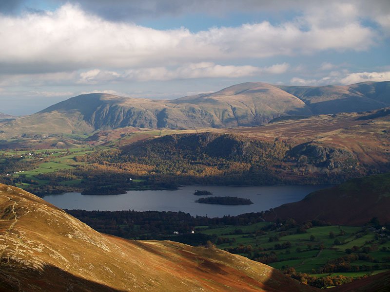
Clough Head and Great Dodd across Derwent Water from the summit of Outerside.

06.11.06-159

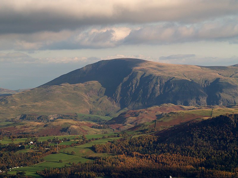
Clough Head.

06.11.06-161

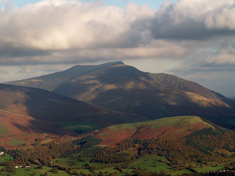
Blencathra.

06.11.06-165

Stile End and Barrow.

06.11.06-185

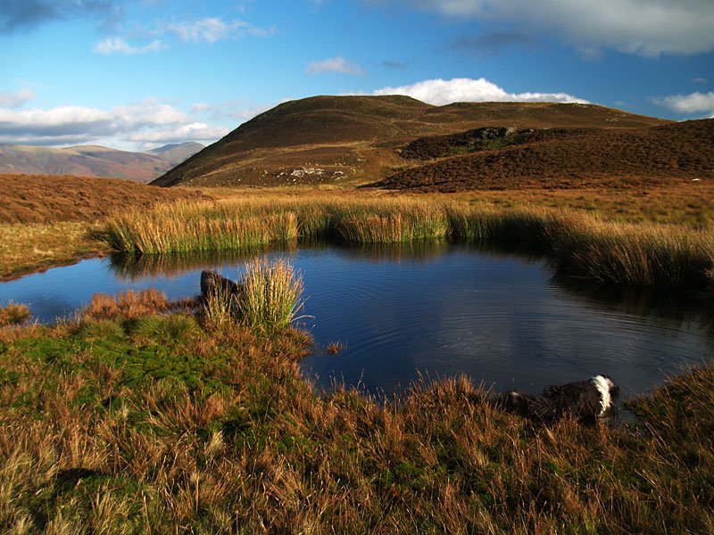
Angus and Casper have a drink in the tarn on the way to Stile End.

06.11.06-188

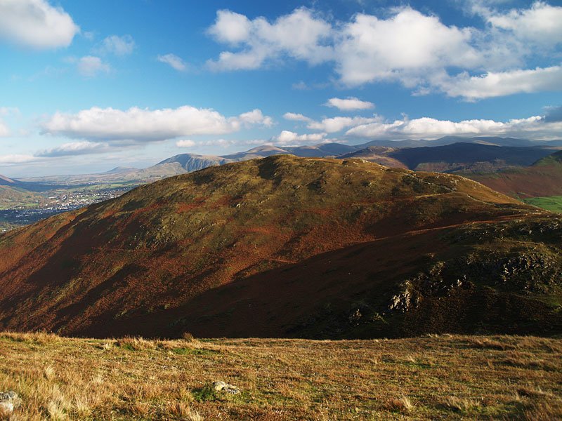
Barrow from Stile End.

06.11.06-195

Cat Bells from Barrow.

06.11.06-196

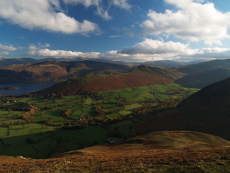
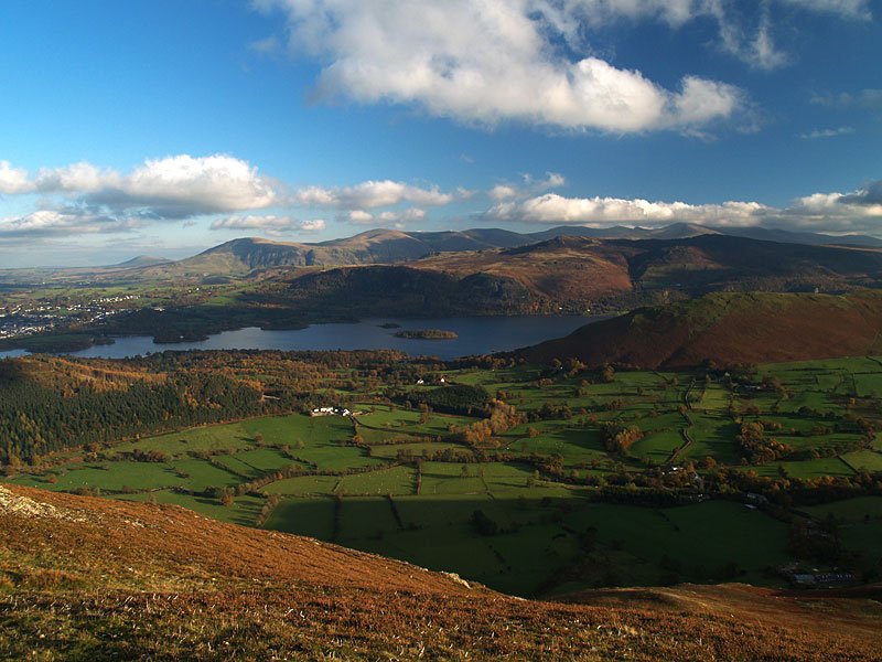
Looking across Derwent Water to Bleaberry Fell with The Dodds and the Helvellyn ridge beyond, the skies still improving.

06.11.06-200

Sunburst over Causey Pike.

06.11.06-211

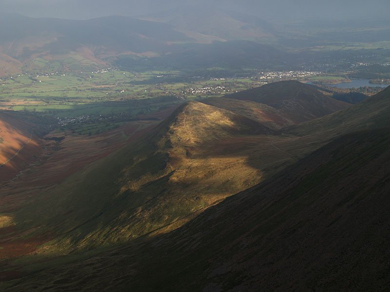
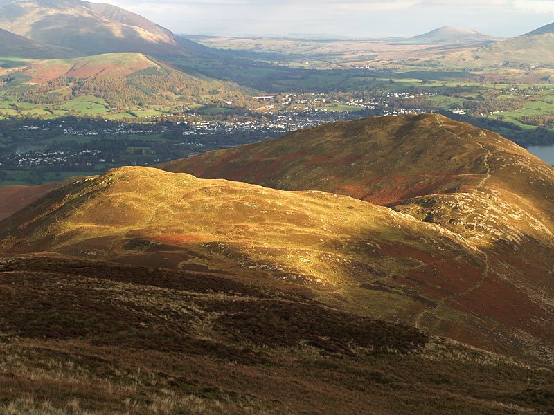
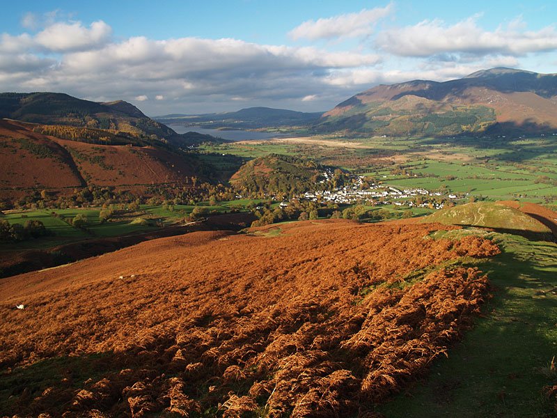
Bassenthwaite Lake and Braithwaite from the descent of Barrow.

06.11.06-217

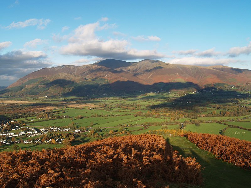
A final view of Skiddaw.

Share this…


  • Facebook


  • Twitter


  • Messenger


  • Whatsapp


  • Email

Previous walk Next walk

Walking Diary

  • The Mosedale Horseshoe 01/03/2022
  • Caw 18/01/2022
  • Coniston sunset 17/01/2022
  • Blencathra 15/01/2022
  • Scafell Pike 14/01/2022

Social

  • Facebook
  • Twitter

Information

  • Striding Edge
  • T&C’s
  • Privacy
  • Links