Height: 710 metres / 2329 feet Grid reference: NY 29622 32985 Category: The Northern Fells
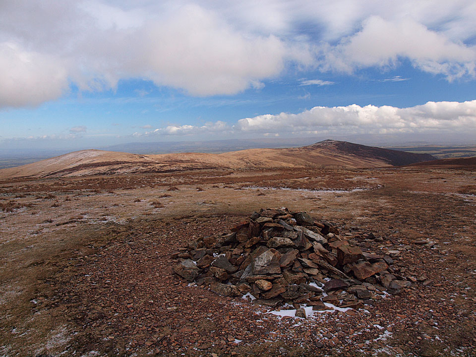
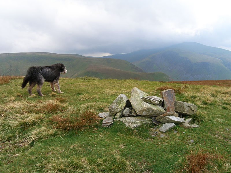
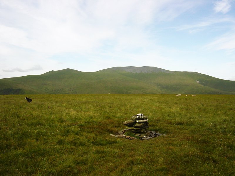
The summit of Knott, looking to High Pike and Carrock Fell
Height: 710 metres / 2329 feet Grid reference: NY 29622 32985 Category: The Northern Fells

The summit of Knott, looking to High Pike and Carrock Fell
Walked on
Start point: Longlands (NY 266 358)
Longlands – Brae Fell – Little Sca Fell – Great Sca Fell – Knott – Lowthwaite Fell – Longlands Fell – Longlands
Distance: 6.3 miles Total Ascent: 609 metres Time Taken: 2 hours 20 minutes Start Time: 10:45
Weather: Sunny spells with a cold wind. 6°C
The prediction was for rain and strong winds today but it looked clear further north so I headed to Longlands to walk some of the Uldale Fells. The high fells have a fresh dusting of snow and even these ‘Back o’ Skiddaw’ fells had some lying on the tops. The wind was biting though and the skies to the west looked threatening throughout the walk.
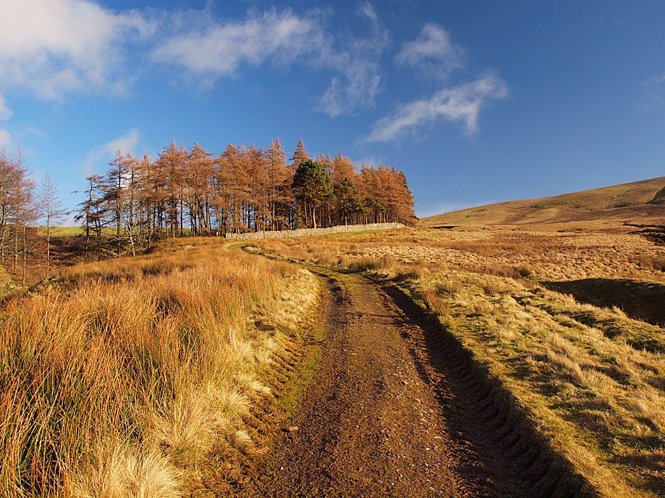
It was beautiful and sunny at the start of the walk following the track from Longlands but the sunshine belies the temperature as there was an icy wind.
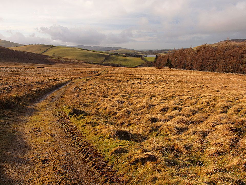
Behind there was lots of cloud building up to the west and the prediction was for strong winds and rain.
Walked on
Start point: Longlands (NY 266 358)
Longlands – Brae Fell (484) – Little Sca Fell – Great Sca Fell – Knott – Frozen Fell – Burn Tod – Trusmadoor – Great Cockup – Meal Fell – Lowthwaite Fell (485) – Longlands Fell (486) – Longlands
Distance: 9.75 miles Total Ascent: 970 metres Time Taken: 3 hours 45 minutes
Weather: Very windy with showers. 16oC.
What a day! I passed through major rainstorms throughout the central Lake District to find it fairly clear behind Skiddaw. The tail end of Hurricane Gordon hit while we were up there today though, with very high winds and showers. Although it is usually relatively easy going, the fells being grassy and most unlike other fells in Lakeland, today the wind made the going much tougher.
The Uldale fells are known as ‘The Back o’ Skiddaw’ and are on the northernmost boundary of the Lake District. They certainly are off the beaten track and we completed this circuit without even catching sight of a single soul.
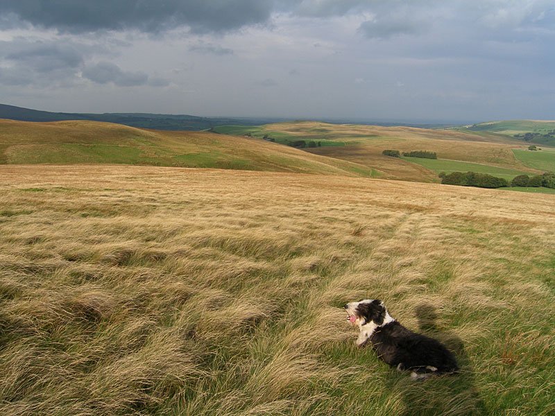
The wind started to pick up during the ascent of Brae Fell and the sun was fleeting in and out. Casper has a look north over to Aughertree Fell with a ghostly figure behind...
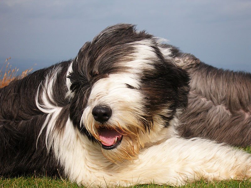
It was soooo windy on the summit of Brae Fell. Casper and Angus are lying low - looks like Angus is in the right place, sheltering behind Casper.
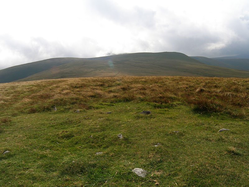
The weather was not really conducive to taking photos - here is a quick shot of the way ahead to Little Sca Fell up to the right - taken full on into the wind. I could hardly stand up!
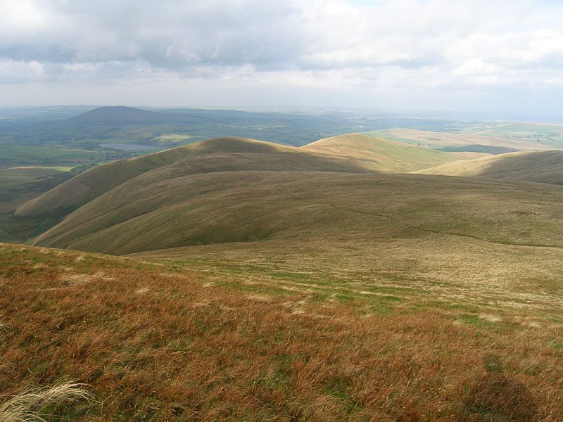
Lowthwaite Fell and Longlands Fell from Little Sca Fell. In the distant left are Over Water and Binsey.
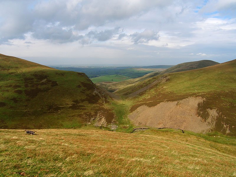
The sun fleeting in and out again on the steep descent of Burn Tod, here looking to the gap of Trusmadoor. Looking at this photo, it appears to be a nice day; I can assure you it was anything but! The strong wind made every step difficult.
A broody looking Skiddaw from Great Cockup. Skiddaw never came from beneath this cloud blanket all day and it seemed to shelter these northern fells from the worst of the weather.
Walked on
Start point: Bowscale (NY 358 317)
Bowscale – Bowscale Tarn – East Top on Bowscale Fell (387) – Bowscale Fell (388) – The Tongue (389) – Bannerdale Crags (390) – Blencathra – Mungrisdale Common – Cloven Stone – Lonscale Pike (391) – Lonscale Fell (392) – Jenkin Hill (393) – Skiddaw Lesser Man (394) – Skiddaw Little Man (395) – Skiddaw – Bakestall – Whitewater Dash – Little Calva (396) – Knott – Coomb Height (397) – Little Lingy Hill (398) – Great Lingy Hill (399) – Hare Stones (400) – High Pike (401) – Miton Hill (402) – Round Knott (403) – Carrock Fell (404) – Mungrisdale – Bowscale
Distance: 25.8 miles Total Ascent: 2447 metres Time Taken: 10 hours 50 minutes
Weather: Sunny and warm with a slight breeze. 25°C.
Today’s walk was a long circuit of the quiet fells known as ‘The Back o’ Skiddaw’. The weather was very pleasant, not as hot and muggy as it has been recently with a slight, welcome, cooling breeze. The views were absolutely superb at times and I was glad I chose today to do this long walk. The only problem was I forgot my food and 26 miles is a long way without any fuel…
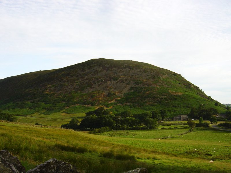
Early morning light on Carrock Fell. This was to be the last fell of the walk, some 11 long hours later.
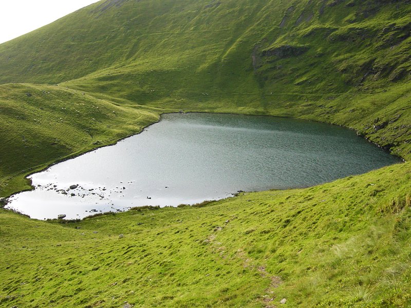
Bowscale Tarn, keeper of two immortal fish so legend has it and mentioned by Wordsworth in his poem 'Song at the Feast of Brougham Castle', 1807. '...And both the undying fish that swim, Through Bowscale Tarn did wait on him, The pair were servants of his eye, In their immortality, They moved about in open sight, To and fro, for his delight...'
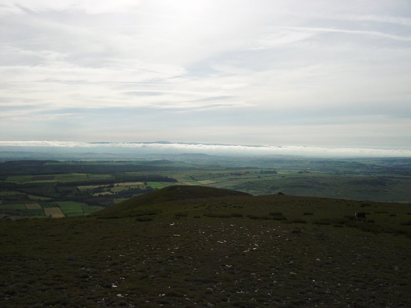
Strange light and a band of thick low lying cloud to the south from Bowscale Fell's subsidiary east top.
Skiddaw from that most derided of Wainwright fells (for not being a true summit), Mungrisdale Common.
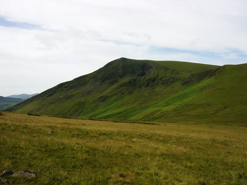
Lonscale Fell from Mungrisdale Common. It was a sharp drop off from Blencathra down to Mungrisdale Common then an incredibly steep pull to get back up onto Lonscale Fell via Burnt Horse.
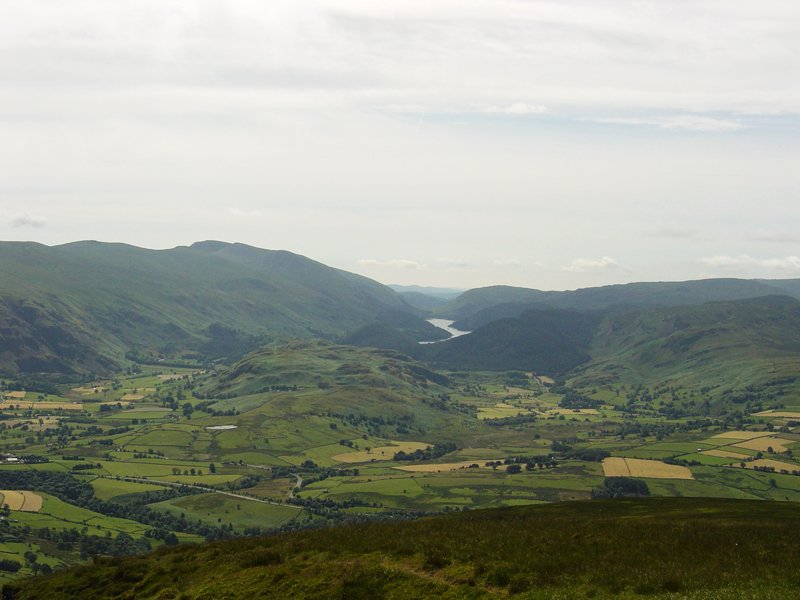
The view from Lonscale Pike, the east peak of Lonscale Fell. In the centre is High Rigg with Tewet Tarn visible and Thirlmere behind.
Walked on
Start point: Orthwaite (NY 253 337)
Orthwaite – Orthwaite Bank (162) – Little Cockup (163) – Great Cockup (164) – Trusmadoor – Meal Fell (165) – Little Sca Fell (166) – Great Sca Fell (167) – Knott (168) – Frozen Fell (169) – Burn Tod (170) – Orthwaite
Weather: Wind and rain.
A walk around The Uldale Fells today at the ‘Back O’ Skiddaw’. This area is a real wilderness and in the main the fells are grassy hummocks. A place of solitude, I didn’t see another soul today.
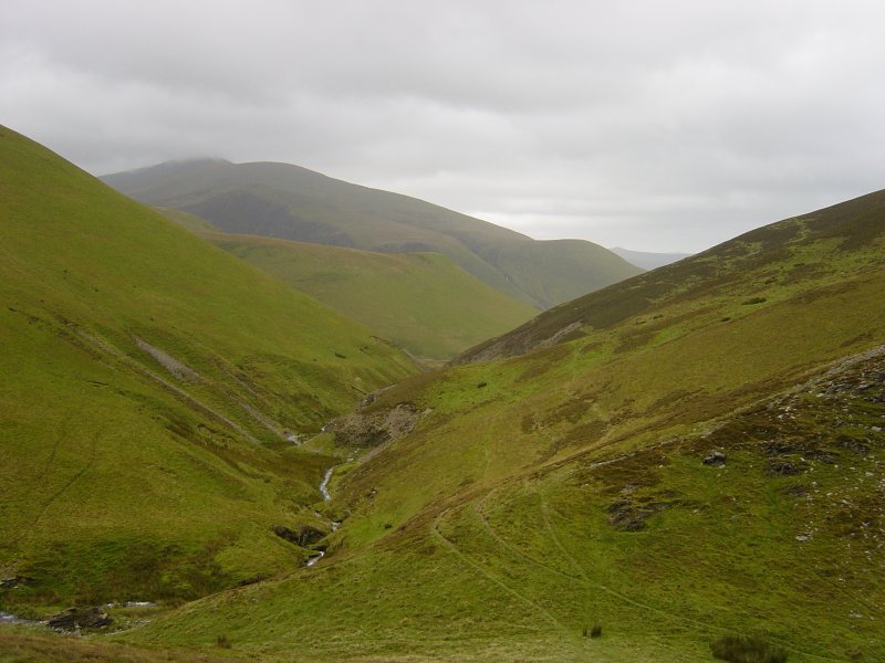
Skiddaw and Bakestall through Trusmadoor from the ascent of Meal Fell. My descent from Great Cockup was the path coming down diagonally from the right while later, on the return, I descended Burn Tod from the left of the photo, crossed Burntod Gill, and followed the path towards Skiddaw.
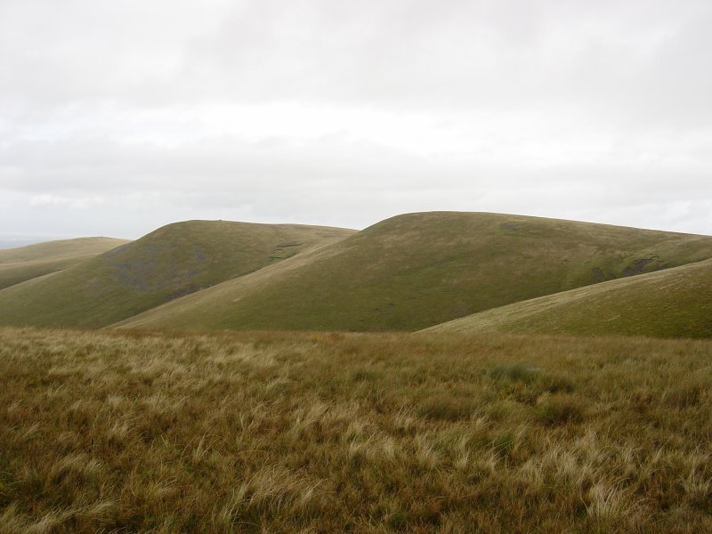
Brae Fell, Little Sca Fell and Great Sca Fell from the grassy hump that is the summit of Frozen Fell.
Walked on
Longlands – Charleton Wath – Brae Fell (100) – Great Sca Fell (101) – Great Calva (102) – Knott – Meal Fell (103) – Trusmador – Great Cockup (104) – Little Sca Fell – Lowthwaite Fell – Longlands Fell (105) – Longlands
Walked on
Bowscale – Bowscale Tarn – Bowscale Fell (71) – Bannerdale Crags (72) – Blencathra (73) – Lonscale Fell (74) – Skiddaw Little Man (75) – Skiddaw (76) – Bakestall (77) – Little Calva – Knott (78) – Great Lingy Hill – High Pike (79) – Carrock Fell (80) – Mungrisdale – Bowscale
