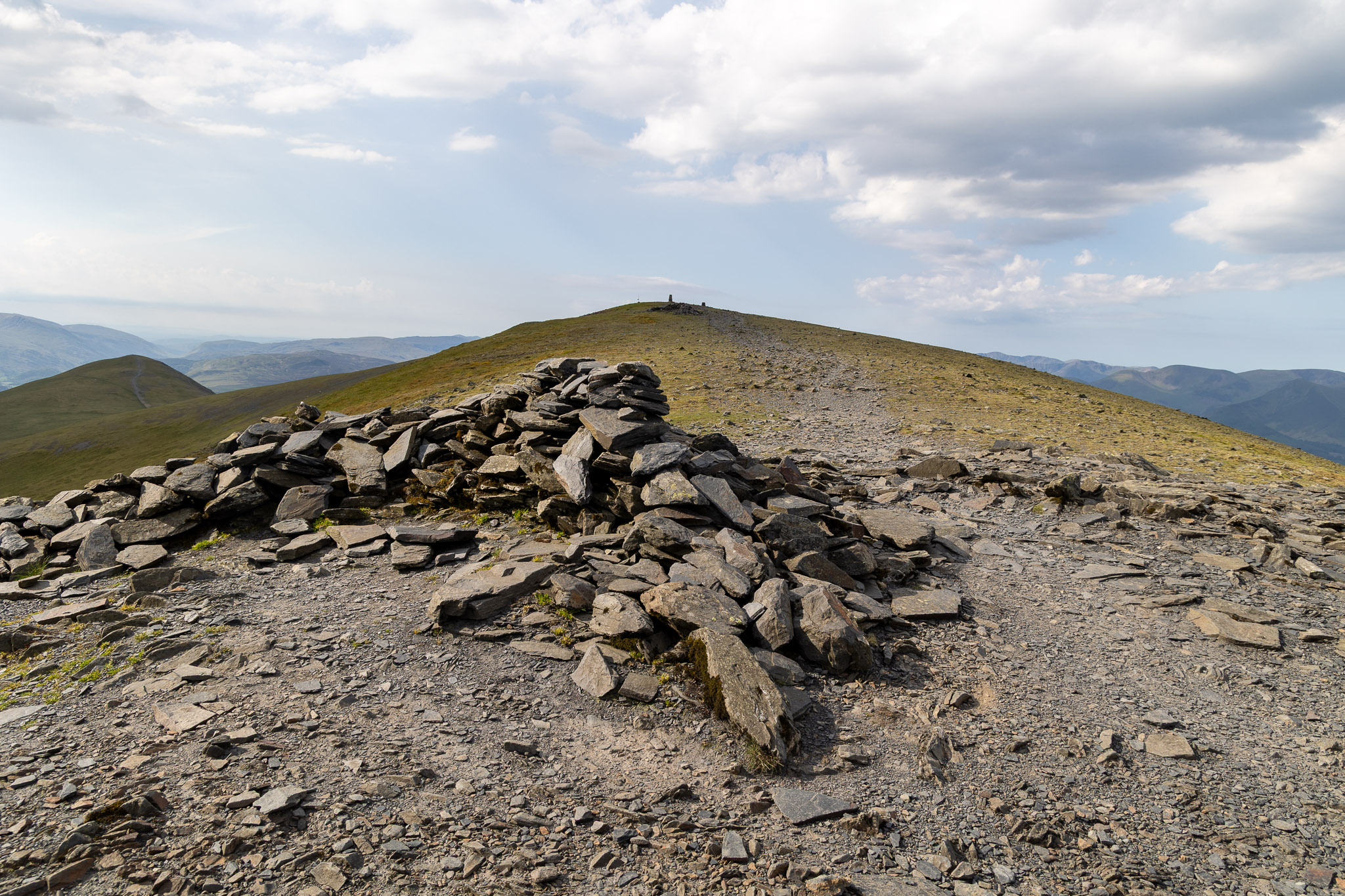
As well as the main summit, Birkett lists four others on the Skiddaw ridge – Skiddaw South Top, Skiddaw Middle Top, Skiddaw North Top and Broad End. Details of this fell are blow the main Skiddaw walks table.
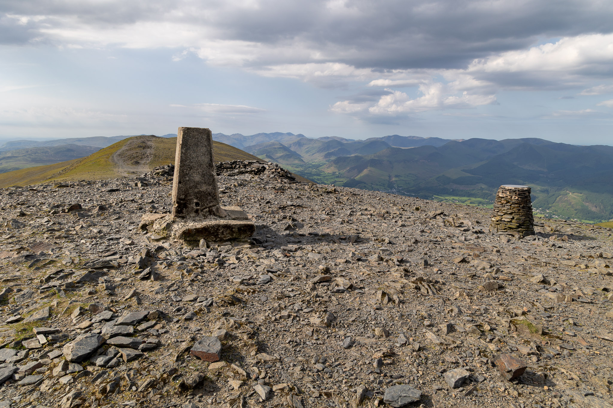
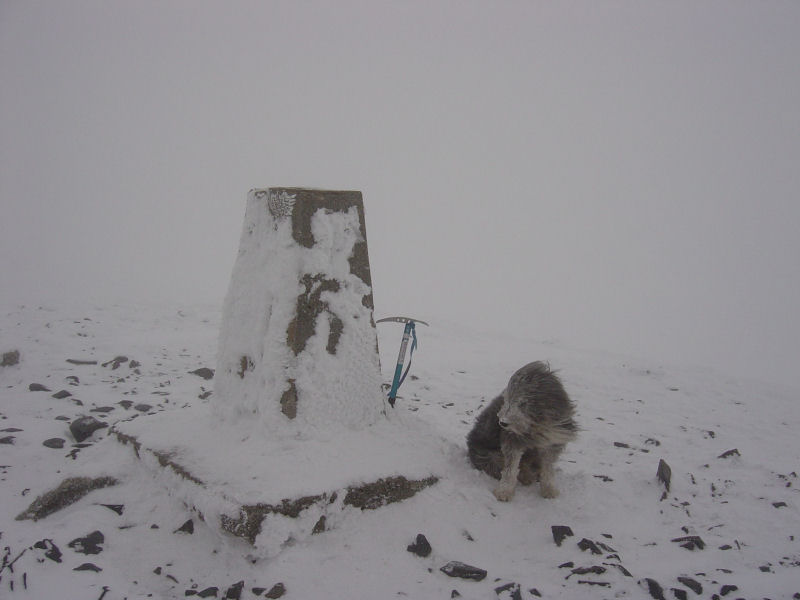
The summit of Skiddaw.
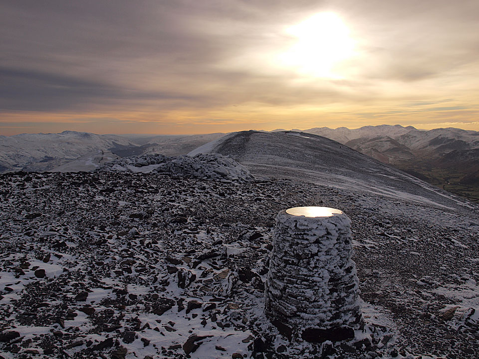
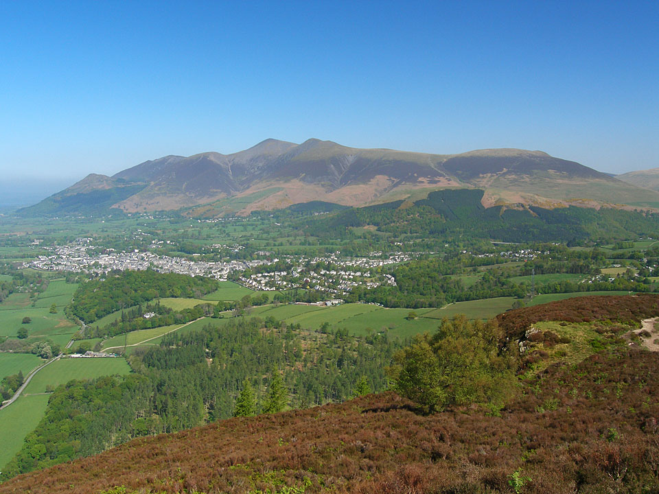
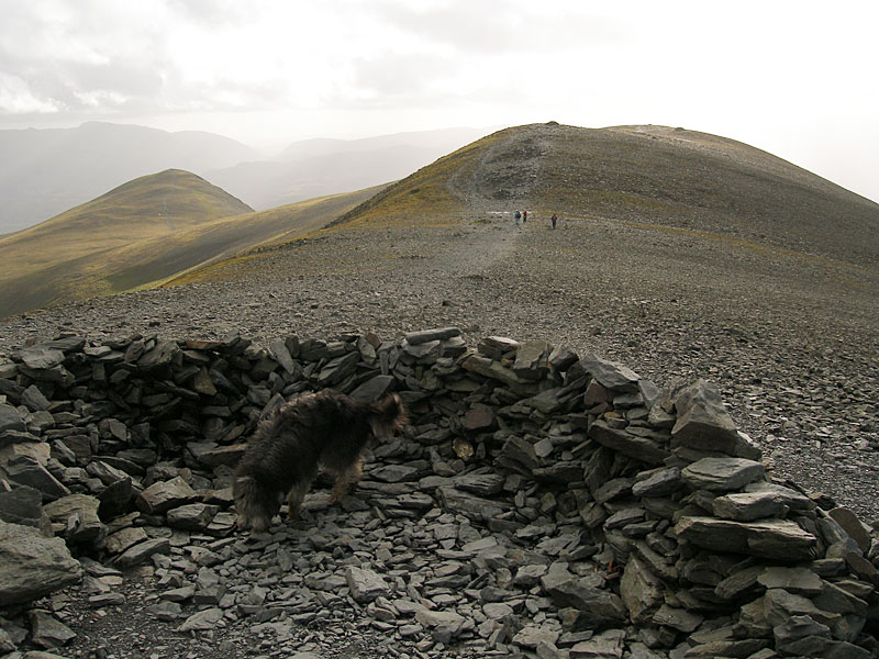
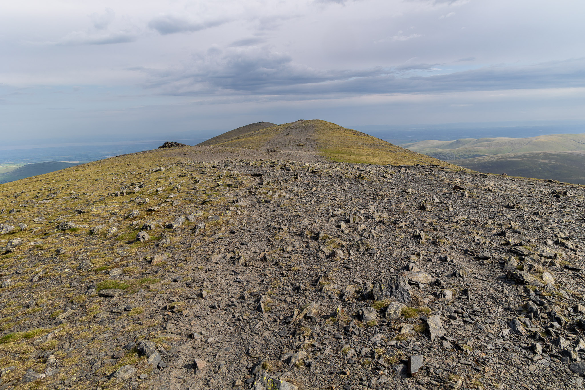
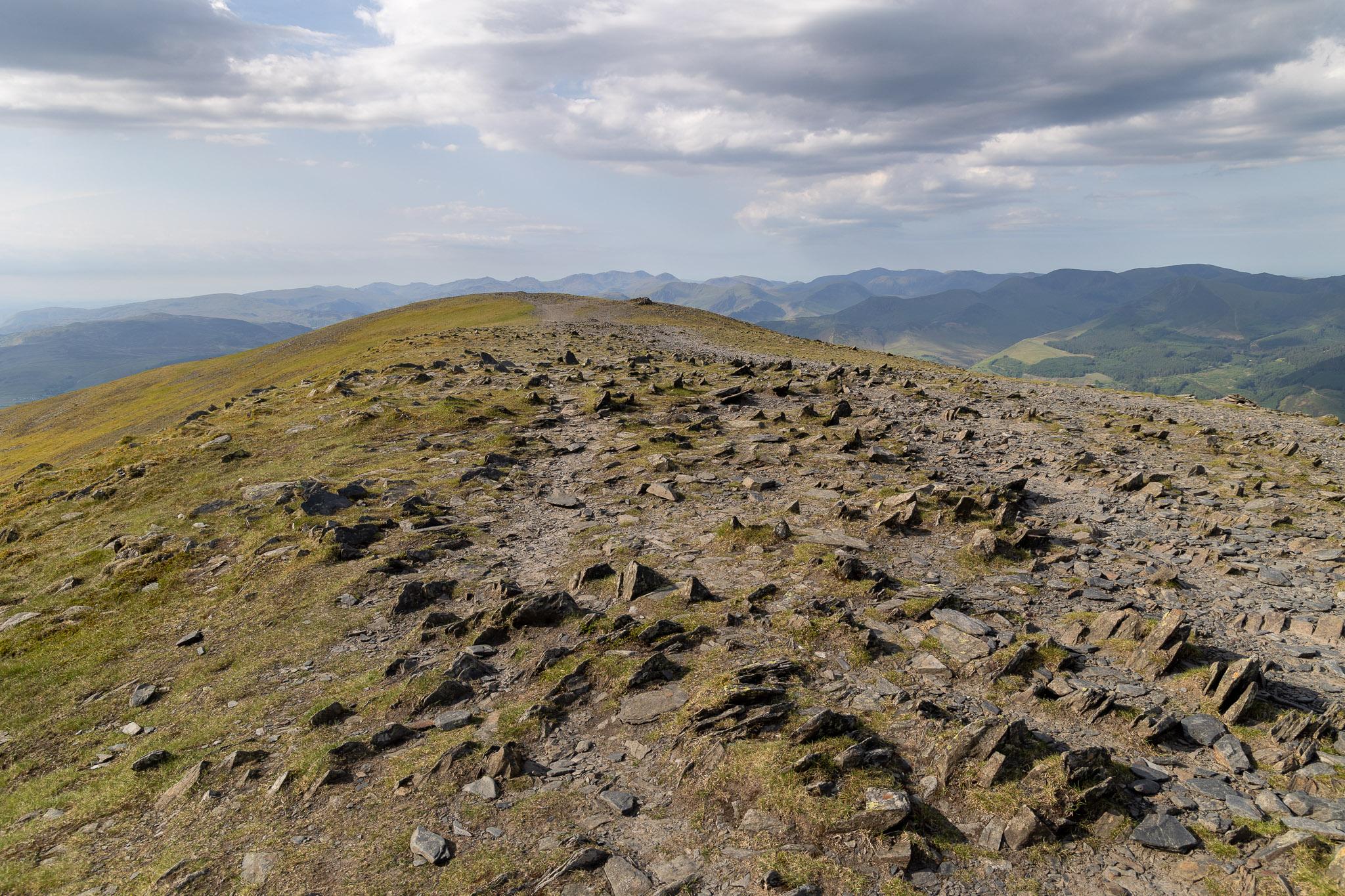
Winter on Skiddaw summitSkiddaw and Keswick from Walla CragWhite Out on SkiddawLooking back along the summit ridge
Gale Road End – Skiddaw Lesser Man – Skiddaw Little Man – Skiddaw – Jenkin Hill – Lonscale Fell – Lonscale Pike – Latrigg – Gale Road End [8.5miles, 860m ascent]
Gale Road End – Skiddaw Lesser Man – Skiddaw Little Man – Skiddaw – Jenkin Hill – Lonscale Fell – Lonscale Pike – Gale Road End [7.6 miles, 775m ascent]
Gale Road End – Skiddaw Lesser Man – Skiddaw Little Man – Skiddaw – Jenkin Hill – Lonscale Fell – Lonscale Pike – Gale Road End [7 miles, 800m ascent]
Peter House Farm – Dash Farm – White Hause (526) – Little Calva – Great Calva – Skiddaw house – Sale How (527) – Skiddaw – Hare Crag (528) – Whitewater Dash – Peter House Farm [11.6 miles, 1100m ascent]
Gale Road – Lonscale Fell – Lonscale Pike – Jenkin Hill – Skiddaw Lesser Man – Skiddaw Little Man – Skiddaw – Bakestall – Birkett Edge – Whitewater Dash – Little Calva – Great Calva (514) – Skiddaw house – Lonscale Crags – Gale Road [13 miles, 1190m ascent]
Nr.Bassenthwaite – Watches – The Edge – Ullock Pike – Longside Edge – Long Side – Carl Side – Skiddaw – Broad End – Bakestall – Nr.Bassenthwaite
Gale Road End – Skiddaw Lesser Man – Skiddaw Little Man – Skiddaw – Gale Road End [6.5 miles, 1256m ascent]
Bowscale – Bowscale Tarn – East Top on Bowscale Fell (387) – Bowscale Fell (388) – The Tongue (389) – Bannerdale Crags (390) – Blencathra – Mungrisdale Common – Cloven Stone – Lonscale Pike (391) – Lonscale Fell (392) – Jenkin Hill (393) – Skiddaw Lesser Man (394) – Skiddaw Little Man (395) – Skiddaw – Bakestall – Whitewater Dash – Little Calva (396) – Knott – Coomb Height (397) – Little Lingy Hill (398) – Great Lingy Hill (399) – Hare Stones (400) – High Pike (401) – Miton Hill (402) – Round Knott (403) – Carrock Fell (404) – Mungrisdale – Bowscale [25.8 miles, 2447m ascent]
Bassenthwaite – Watches (300) – The Edge – Ullock Pike (301) – Longside Edge – Long Side (302) – Carl Side (303) –Skiddaw (304-308) – Broad End (309) – Bakestall (310) – Cockup (311)– Bassenthwaite [7.9 miles, 1229m ascent]
Near Bassenthwaite (NY 237311) – Watches – Ullock Pike (170) – Long Side (171) – Carl Side (172) – Skiddaw – Broad End – Bakestall – Cockup – Near Bassenthwaite
Bowscale – Bowscale Tarn – Bowscale Fell (71) – Bannerdale Crags (72) – Blencathra (73) – Lonscale Fell (74) – Skiddaw Little Man (75) – Skiddaw (76) – Bakestall (77) – Little Calva – Knott (78) – Great Lingy Hill – High Pike (79) – Carrock Fell (80) – Mungrisdale – Bowscale