Height: 368 metres / 1207 feet Grid reference: NY 27886 24685 Category: The Northern Fells
Latrigg is probably the easiest ‘best view for least effort’ fell in the Lake District, with it being a 10 minute stroll from the car park at at the end of Gale Road.
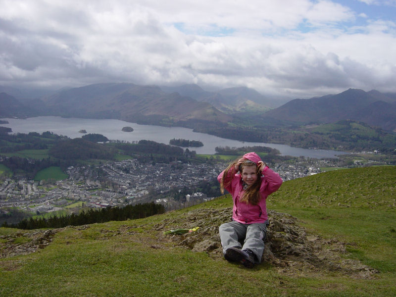
Connie on the summit of Latrigg

Latrigg and Derwent Water from the steep climb to Lonscale Fell
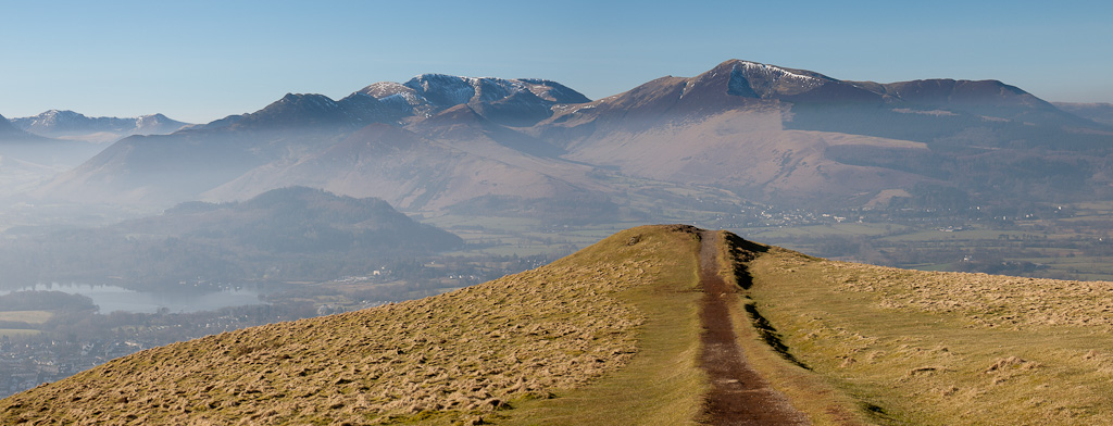
The Coledale fells from Latrigg


