Height: 785 metres / 2575 feet Grid reference: NY 33721 20413

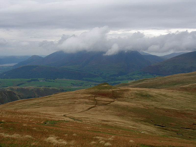
Skiddaw from Little Dodd, Calfhow Pike below
Height: 785 metres / 2575 feet Grid reference: NY 33721 20413

Skiddaw from Little Dodd, Calfhow Pike below
Walked on
Start point: Dockray, adjacent to the bridge. (NY 393 215)
Dockray – Bracken How (492) – Round How (493) – Common Fell – Watermillock Common –Swineside Knott – Brown Hills – Birkett Fell – Hart Side – White Stones on Green Side – Stybarrow Dodd – Watson’s Dodd – Great Dodd – Little Dodd (St John’s Common) (494) – Calfhow Pike (495) –Clough Head (496) – Dockray
Distance: 13.4 miles Total Ascent: 1156 metres Time Taken: 4 hours 45 minutes
Weather: Overcast, rain later. 14oC.
Another grey day today with just the odd glimmer of sunshine and heavy rain at the end. This is quite a long circuit but relatively easy going across boggy grass. I visited a couple of small tops at the beginning of the walk that I had never been to before which offered great views over Ullswater with little effort. It was very quiet up there though, and we never saw a single soul all day.

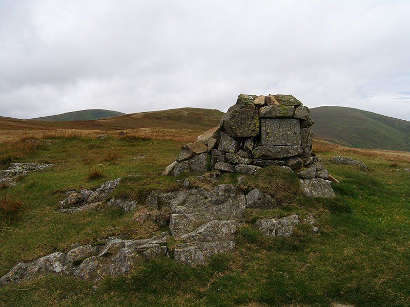
You can't miss Birkett Fell with its name plaque set in the cairn. Named after Baron Birkett, KC MP, an early advocate of National Parks and a fierce opposer to Manchester Corporation's attempts to take water from Ullswater. He also went to the same school as me (though he wasn't in my class, I hasten to add!).

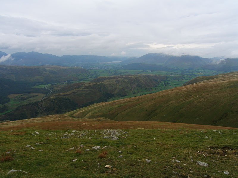
High Rigg and St John's in the Vale from Watson's Dodd. Beyond is Keswick, Bassenthwaite Lake, Dodd and Skiddaw (in mist).

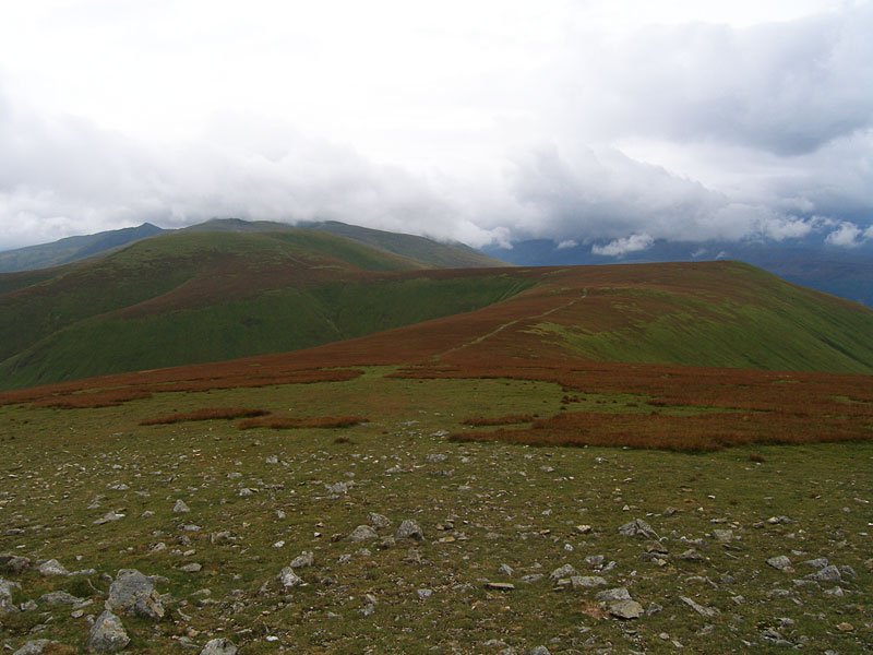
A retrospective view from Great Dodd - in the distance is the pointed Catstycam with Helvellyn in cloud. Centre left is Stybarrow Dodd with Watson's Dodd to the right.
Walked on
Wanthwaite – Threlkeld Knotts – Clough Head (113) – Calfhow Pike – Little Dodd (St John’s Common) – Great Dodd (114) – Watson’s Dodd (115) – Great Dodd – Randerside – Mariel Bridge – Old Coach Road – Wanthwaite
