Height: 469 metres / 1539 feet Grid reference: SD 23758 94740 Category: The Outlying Fells
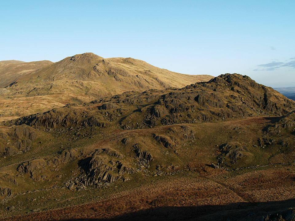
White Pike and White Maiden beyond Pikes from the descent of Caw
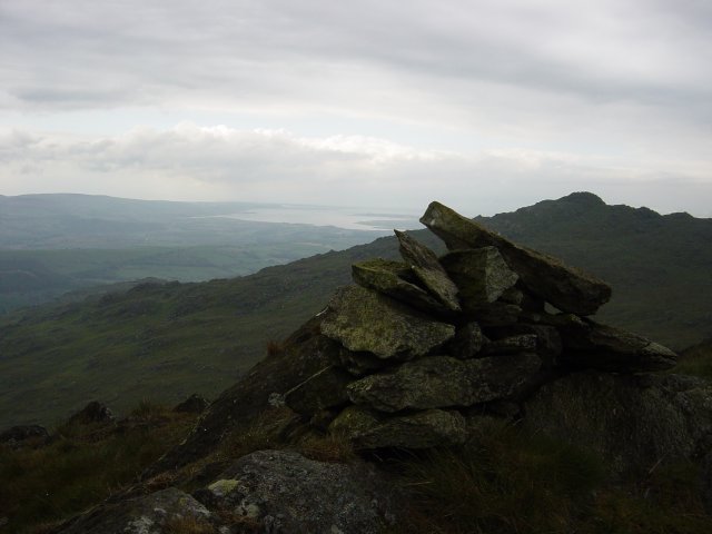
The Duddon Estuary from the summit of Pikes
Height: 469 metres / 1539 feet Grid reference: SD 23758 94740 Category: The Outlying Fells

White Pike and White Maiden beyond Pikes from the descent of Caw

The Duddon Estuary from the summit of Pikes
Walked on
Start Point: Kiln Bank Cross (SD 215 933)
Seathwaite – Park Head Road – Caw (OF) – Pikes (OF) – White Pike – White Maiden – Walna Scar (OF) – Walna Scar Road – Seathwaite
Distance: 7.8 miles Total Ascent: 773 metres Time Taken: 3 hours 20 minutes Start Time: 13:00
Weather: Generally overcast, 17°C
The weather was supposed to clear later in the day, unfortunately that never materialised but I was enjoying the fresh air so much I extended a planed shorter walk to Caw by linking it to the Coniston fells. It was an unusual route but it was worth it to see if it could be done (the answer is yes, but recommended? Probably not!).
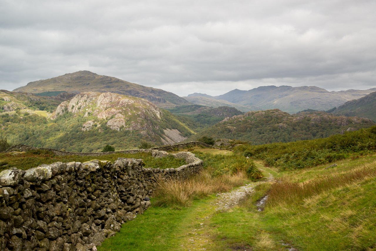
Looking back along the Duddon Valley, Bowfell at its head. Shortly after this the path doubles back on itself to climb Caw.
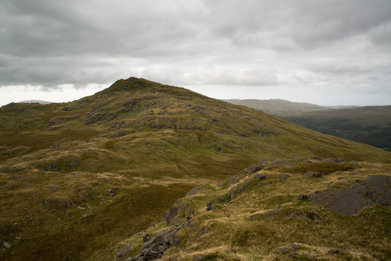
The next stop was Pikes, a conspicuous peak between Caw and White Pike, here looking back towards Caw from the summit.
Walked on
Start point: Seathwaite, Dunnerdale (SD 228 960)
Seathwaite – Park Head Road – Stickle Tarn – Stickle Pike (OF) – Caw (OF) – Pikes (OF) – Green Pikes (OF) – Seathwaite
Distance: 7 miles Total Ascent: 700 metres Time Taken: 5 hours
Weather: Cool and clear. 4°C
Today I met up with Roger and Ann Hiley and their two dogs for a walk to Stickle Pike and Caw from Seathwaite in the Duddon Valley. The weather was almost unbelievably different to the wet and windy weather we have experienced over the last week or so as it was cool and clear. The views were superb from everywhere today; if only it would stay like this for a while!
A clear view to Harter Fell with the Scafell range, Esk Pike and Bow Fell beyond from the summit of Stickle Pike
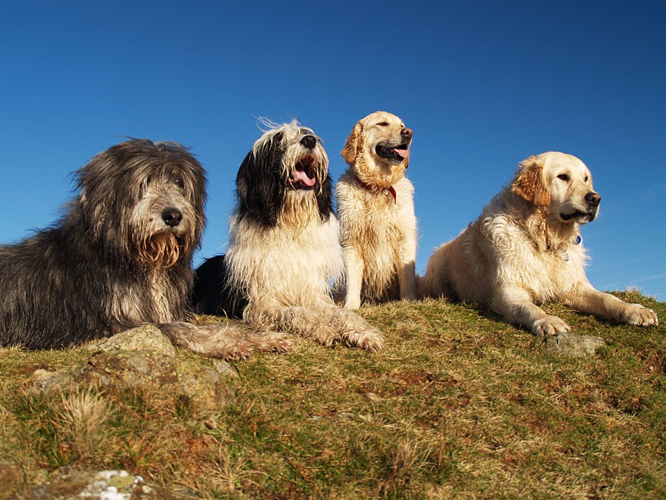
Group summit photo - Angus, Casper, Bethan and Harry. It's bad enough getting two dogs to keep still, never mind four! 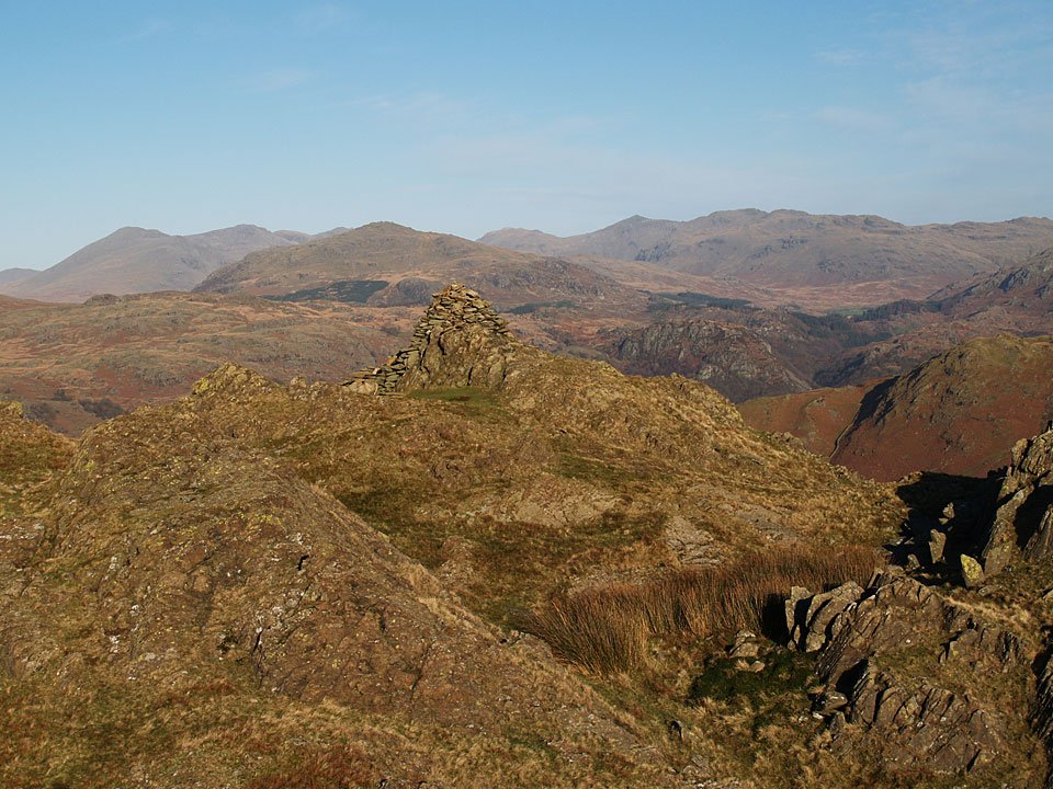
Walked on
Start point: The Hawk (SD 239 924)
The Hawk – The Knott – Natty Bridge – Pikes (OF) – Caw (OF) – Long Mire – Stephenson Ground – Water Yeat Bridge -The Hawk
Distance: 4.5 miles Total Ascent: 500 metres Time Taken: 2 hours 30 minutes.
Weather: Dull and overcast, very still. 15oC.
Relatively few visit the Lickle Valley, some perhaps have not heard of it but it is a lovely place – very quiet and removed from all manner of everyday life. It was a pity about the lack of views today as perhaps the photos do not show it at its best, so we will return when the skies are clearer. It almost felt as if we were pioneering on The Knott for this must surely be a different scene now the trees are removed.
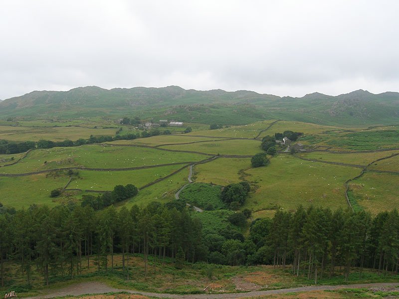
The Dunnerdale Fells across Carter Ground, Stephenson Ground and the Lickle Valley. The River Lickle is below the tree line at the bottom of the picture.
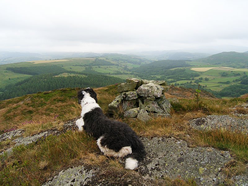
Casper settles down next to an ancient cairn on a prominence approaching The Knott. This area has recently been cleared of forestry and it has really open views now.
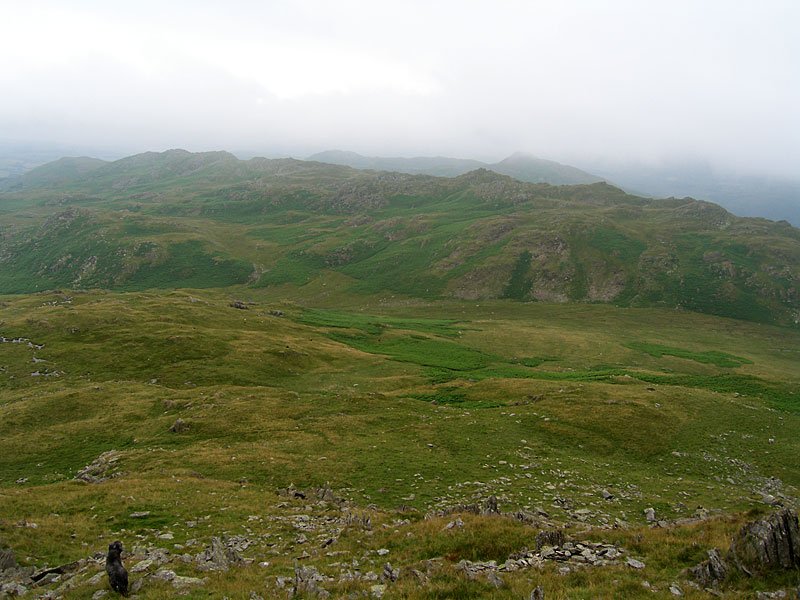
Looking across Long Mire on the descent of Caw - the ghostly peak beyond the near ridge is Stickle Pike.
Walked on
Start point: Kiln Bank Cross (SD 215 933)
Kiln Bank Cross – Park Head Road – Long Mire – Pikes (OF) – Caw (OF) – Park Head Road – Kiln Bank Cross
Distance: 4 miles Total Ascent: 300 metres Time Taken: 1 hour 30 minutes
Weather: Bright and sunny with mist on the tops. 7ºC.
It was much brighter than of late today with clear blue skies and sunshine for a walk up to Caw from Kiln Bank Cross. On the ascent of Caw, the clouds suddenly came over and I was fortunate to witness two interesting phenomenon – a Brocken Spectre and (almost) a temperature inversion.
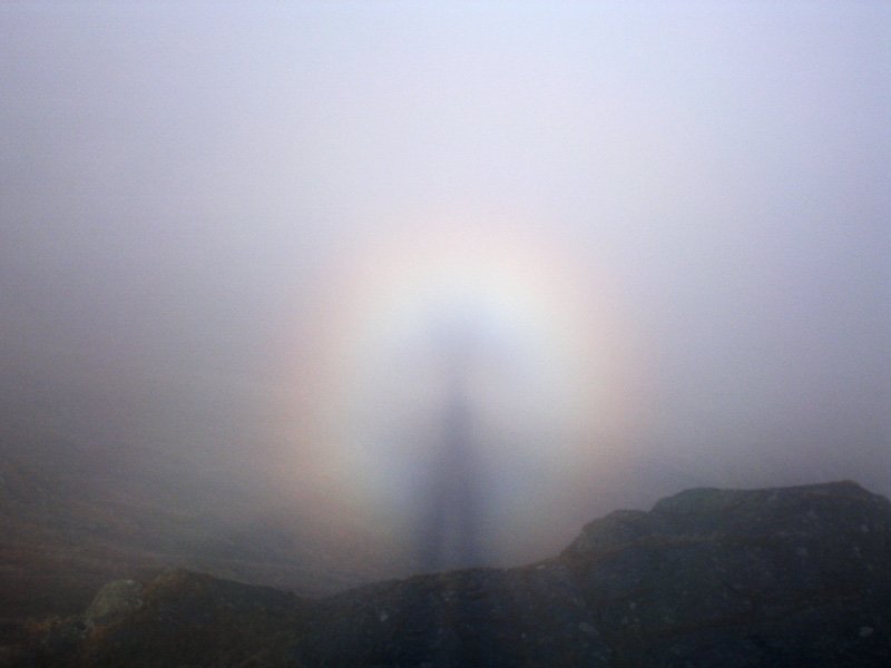
..and a close up. This phenomenon was constantly repeated as the sun shone through the mist as I walked from Pikes up to Caw.
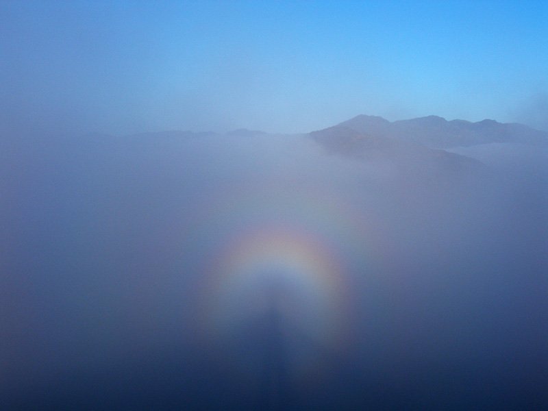
Another Brocken Spectre and the Sca Fells which now looked close enough to touch across the sea of cloud.
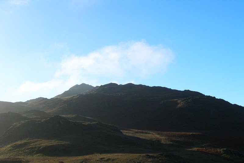
Stickle Pike. Later on in the afternoon, we were up on top of Birkrigg Common, near Ulverston, for the most fantastic temperature inversion with the whole of Morecambe Bay and the low ground up to the Coniston fells under a thick blanket of cloud...no camera, of course! I would like to wish everyone a Merry Christmas and a happy New Year - thank you for supporting StridingEdge throughout 2005, here's to a great 2006 with many more walks to come - Sean McMahon (and Angus!).
Walked on
Start point: Seathwaite, Dunnerdale (SD 228 960)
Seathwaite – Park Head Road – Caw (OF) – Pikes (OF) – Green Pikes (OF) – Seathwaite
Distance: 4.1 miles Total Ascent: 532 metres Time Taken: 1 hour 40 minutes
Weather: Grey and overcast. 12oC.
This morning’s walk was part of the Wainwright Society’s celebratory week commemorating 50 years since the first publication of the famous ‘Pictorial Guides’. The Great Lakeland Challenge records the ascent of all 214 Wainwright fells and 56 ‘Outlying Fell’ walks in one week by Society members who have nominated their choice. I chose Caw as it commands an outstanding view along the Duddon Valley and it has a great pyramidal shape when viewed from the valley below.
Unfortunately, it was a bit of a grey day today and the clarity of last week has gone although it is still felt chilly on the tops. This walk follows Wainwright’s Caw chapter in his book ‘The Outlying Fells of Lakeland’, page 120.
Walked on
Start point: Seathwaite, Dunnerdale (SD 228 960)
Seathwaite – Park Head Road – Caw (OF) – Pikes (OF) – Green Pikes (OF) – Seathwaite
Weather: Mainly dull and with rain and strong winds towards the end.
Well, the high winds of last night dropped by lunchtime and the skies were blue (sometimes!) so I managed to fit in a quick walk this afternoon. Today’s walk follows Wainwright’s Caw chapter in his book ‘The Outlying Fells of Lakeland’, page 120. The pyramid of Caw is recognisable from many other places in the Lake District and really deserves to be included in the full Wainwright list – whatever, it is still worth a visit.
Walked on
Start point: Stephenson Ground (SD 235 931)
Stephenson Ground – Green Pikes (OF) – Pikes (40) – Caw (41) (OF) – Brock Barrow (42) – Fox Haw (43) – Raven’s Crag (44) – Carter Ground – Stephenson Ground
Weather: Overcast turning to drizzle.
A short walk this morning over another almost undiscovered jewel – Caw and the Dunnerdale Fells. It is not often you can walk completely alone for miles, especially during half term, but this was the case today.
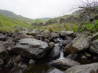
I started from the tiny hamlet of Stephenson Ground and walked high along a ridge overlooking the River Lickle as far as Natty Bridge where the path began to rise. A heron was sat here, looking for its breakfast before it spotted me and majestically flew away.
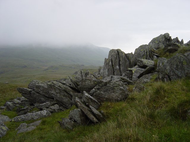
Rock formations on Green Pikes. As the path levelled out, ahead of me was Dawson Pike with its vivid white quartz summit and a sharp left turn took me to the summit of Green Crags, a non-descript top with strange slate formations.
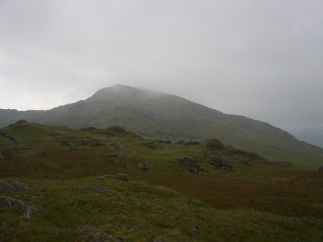
Caw from Green Pikes summit. A quick hop and I was onto Pikes, I could see Caw ahead, in and out of the swirling mist.
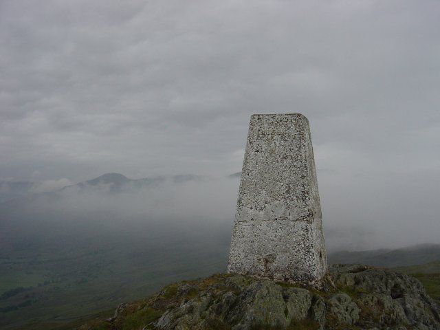
Ordnance column on Caw with Grey Friar appearing through the mist. A short descent and then a zigzag path led to the summit of Caw, the ordnance survey column seemingly lower than the main top. The views from here were excellent, the distant tops of Harter Fell, Bowfell and Grey Friar in and out of the mist. I hung around here for a little while to try and catch the threatened temperature inversion, but it never quite happened.
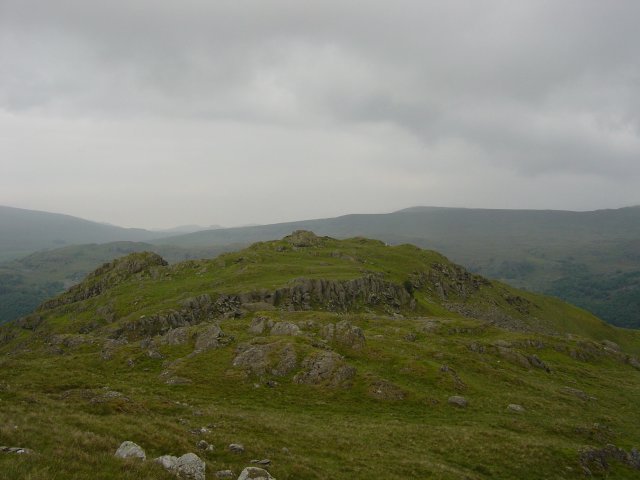
Brock Barrow. Again a descent, across a flat hollow (Long Mire) a hurdle over an ancient wall and up to the rocky top of Brock Barrow - decked out with aerial masts for the Duddon and Dunnerdale valleys below.
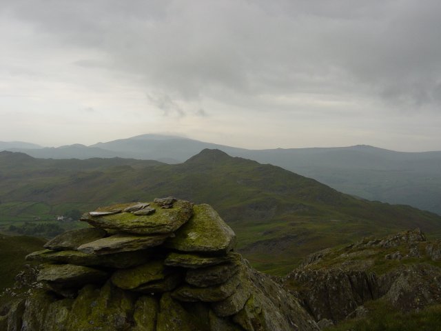
Stickle Pike (Dunnerdale) from the summit of Fox Haw, Black Combe and Buck Barrow are in the distance. Back over the wall and onto a rocky ridge to find a curiosity, namely a solar panel with a plaque 'Global Seismology Research Group', based in Edinburgh. Along the ridge to the summit of Fox Haw with lovely views of Stickle Pike and over to Black Combe, the Whitfell group and Devoke Water - the fells I had rounded on 13th May.
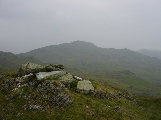
Caw from Raven's Crag summit. Again following the bumpy ridge I came to the summit of Raven's Crag. A steep descent towards Carter Ground, past the old Copper Mine and through a gate where the bridleway passes through the garden. A short stroll and I was back on the tarmac for the walk back to Stephenson Ground.
