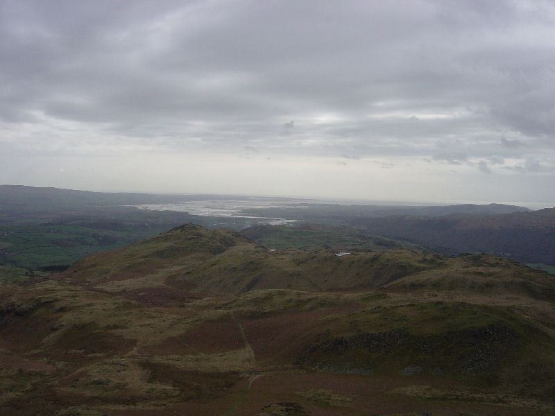
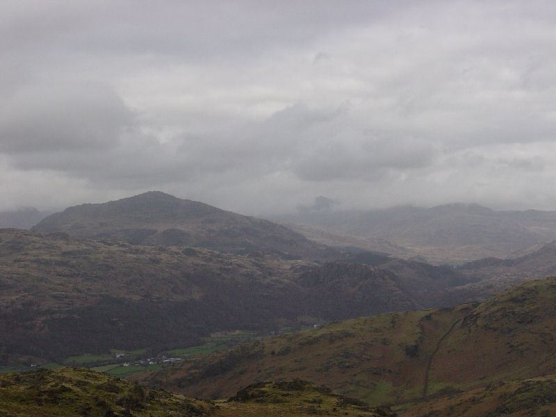
Striding Edge

A photo diary of Lake District fell walks

  • Walks
  • Fells
    • Wainwrights
      • Eastern Fells
      • Far Eastern Fells
      • Central Fells
      • Southern Fells
      • Northern Fells
      • North Western Fells
      • Western Fells
      • Outlying Fells
    • Birketts
  • Dogs
  • Love The Lakes
  • Contact

Stickle Pike sunset

Walked on 05/01/2022

It was a fantastically clear day in the Lake District today and the evening was looking as though there would be a great sunset. Come on Dougal & Fletcher, let’s get up to Stickle Pike to witness it!

DSC9148

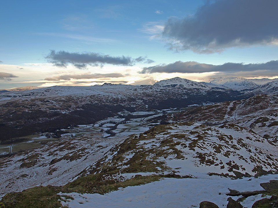
The shadows are already lengthening at the start of the climb, there is no time to hang around!

DSC9150

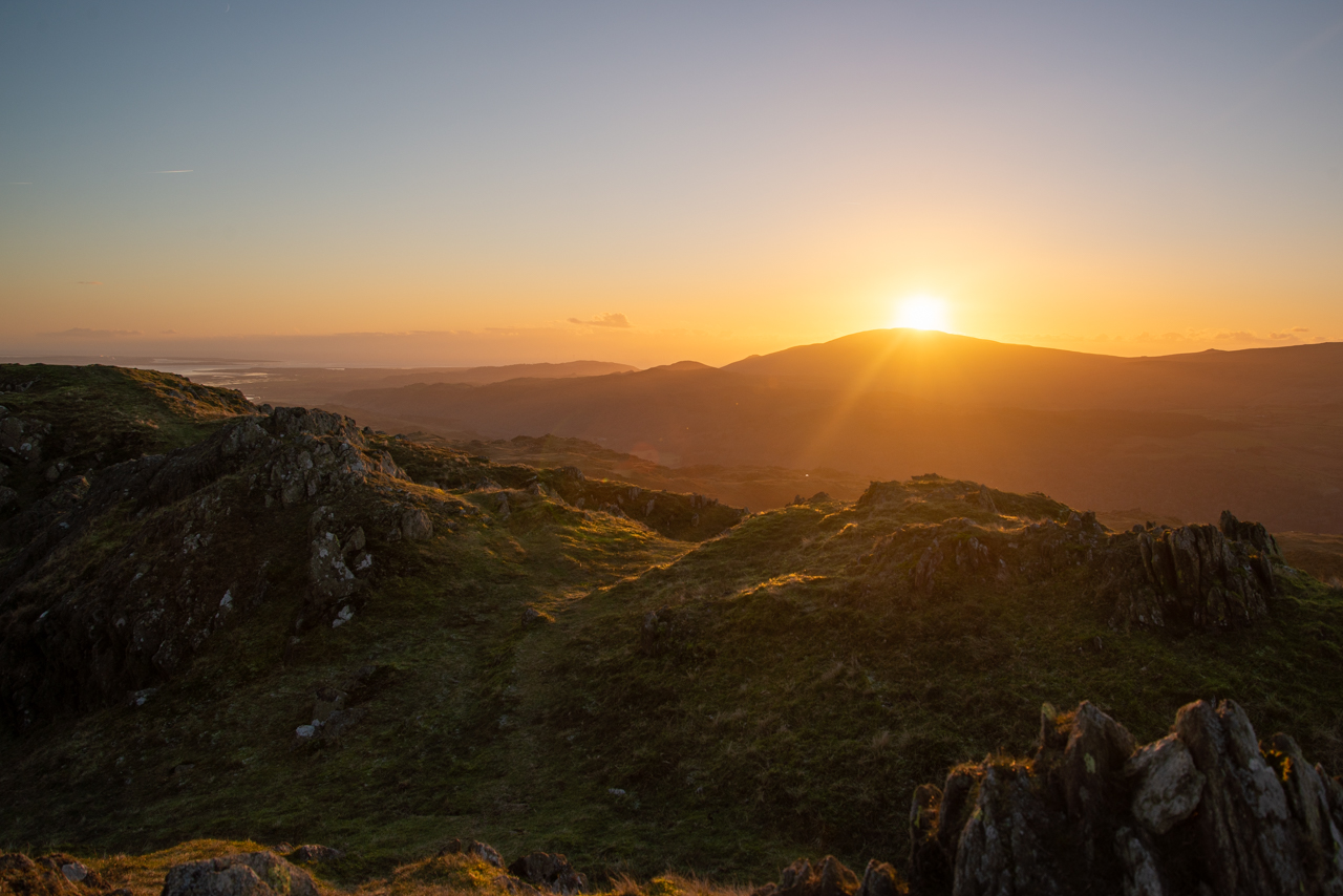
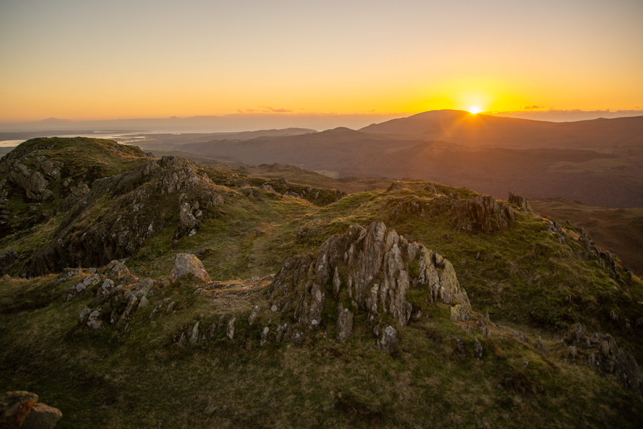
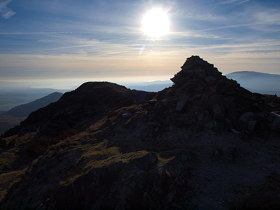
The sun is disappearing behind Black Combe as we make it to the top.

DSC9154

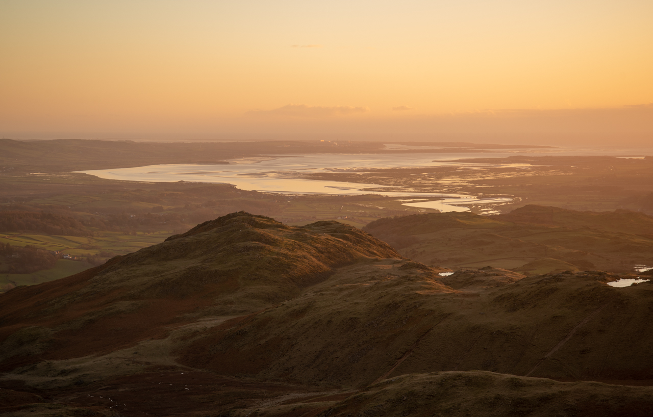
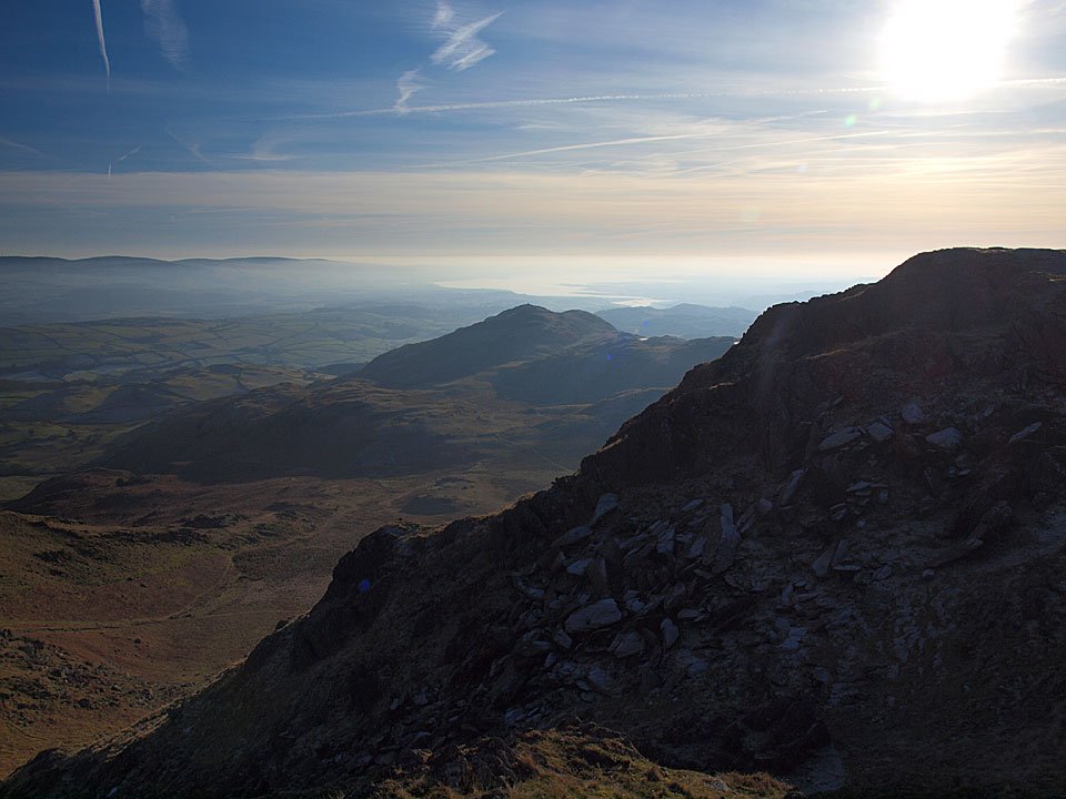
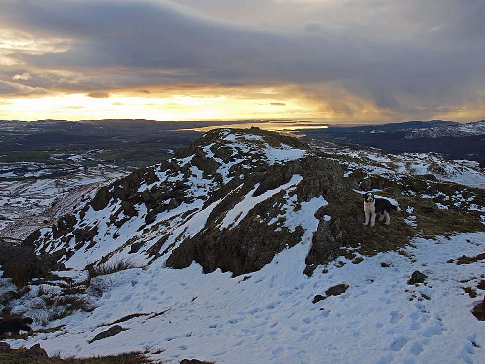
Looking over Great Stickle to the udon Estuary with Barrow and Furness beyond.

DSC9156

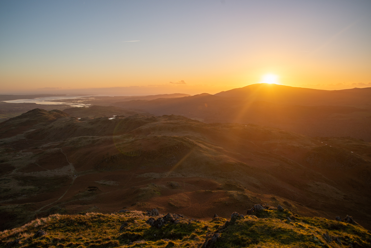
Wow, it is a beautiful sunset tonight and well worth the effort to get up here.

DSC9159

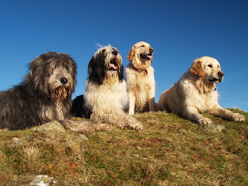
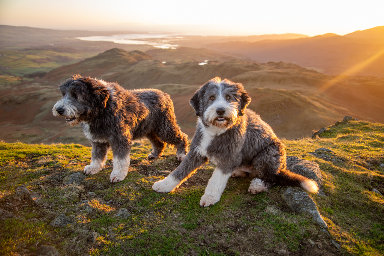
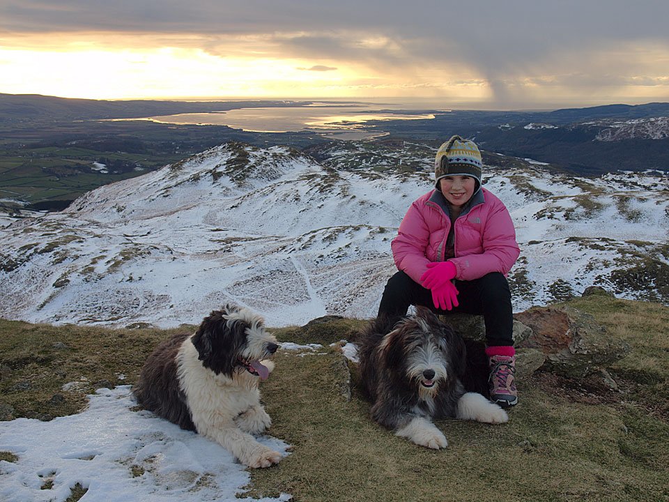
The Golden Boys.

DSC9163-Pano

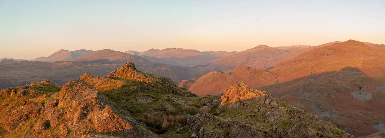
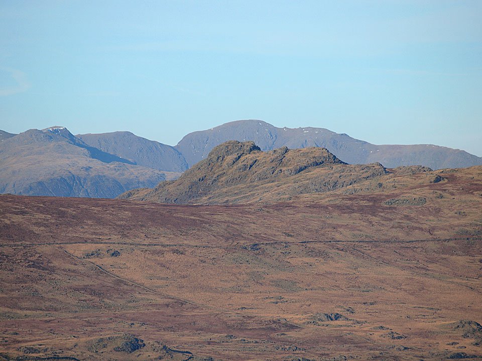
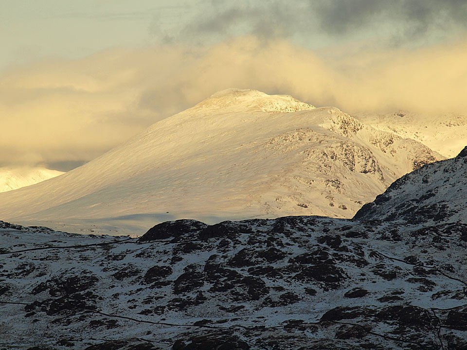
Looking to the head of Dunnerdale, L-R: Scafell, Scafell Pike, Harter Fell (mid ground), Esk Pike, Bowfell, Little Stand, Crinkle Crags, Grey Friar, Coniston fells and Caw.

DSC9168

The sun has quickly all but gone now.

DSC9170

Time to go - for the sun and us!

Dunnerdale Fells

Walked on 16/02/2017

Start Point: Kiln Bank Cross (SD 215 933)

Kiln Bank Cross – Stickle Tarn – Great Stickle (OF) – Tarn Hill (OF) – Stickle Pike (OF) – Kiln Bank Cross

Distance: 2.5 miles     Total Ascent: 235 metres     Time Taken: 1 hour 30 minutes     Start Time: 09:00

Weather: Mild but very windy, 8°C

There isn’t much real winter weather around but I suppose that does have its own merits. Today was relatively mild but the wind was surprisingly strong once above valley level.

610_5287

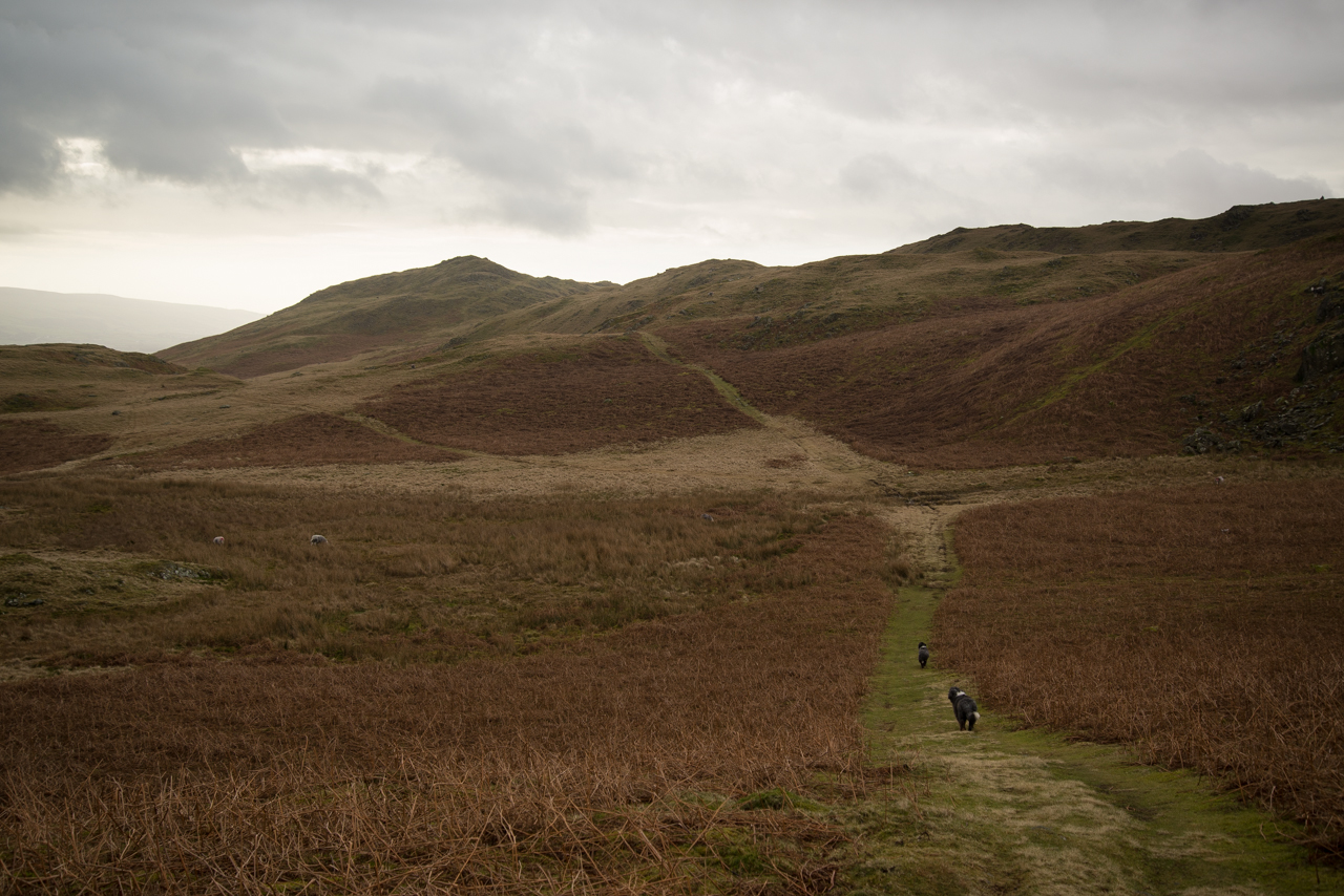
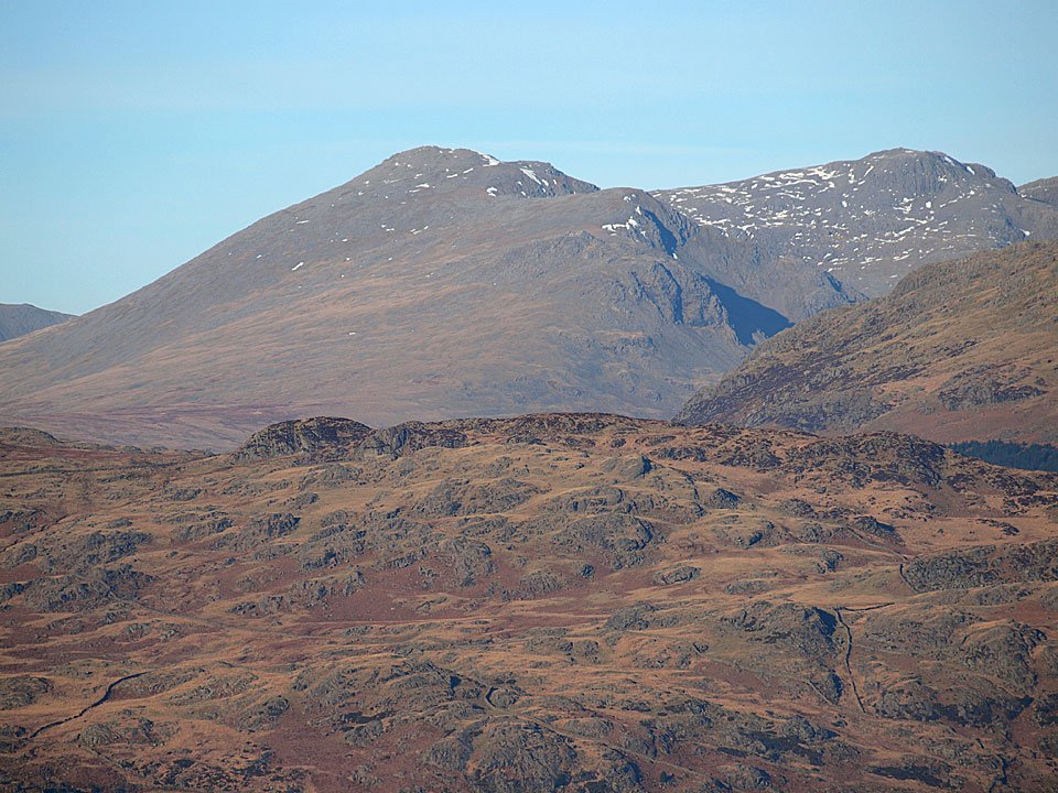
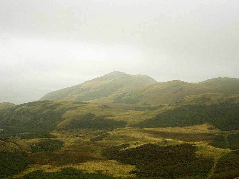
It was a bit of a murky morning, Caw is over there lost in clouds...

610_5290

The wind really whipped up at Stickle Tarn.

610_5291

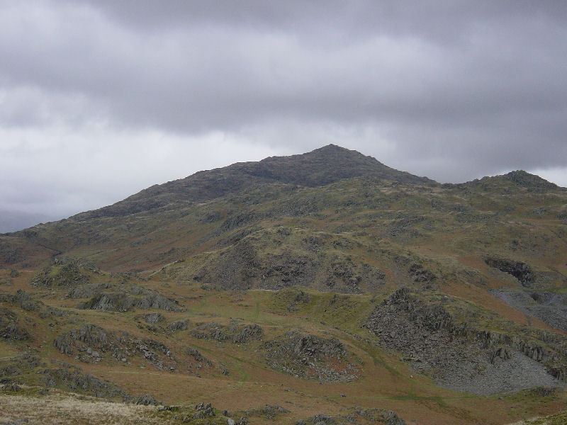
Stickle Pike - but well save that for later.

610_5294

An alternative view of Stickle Pike, here looking at its rugged side.

610_5296

On the way to Great Stickle.

610_5301

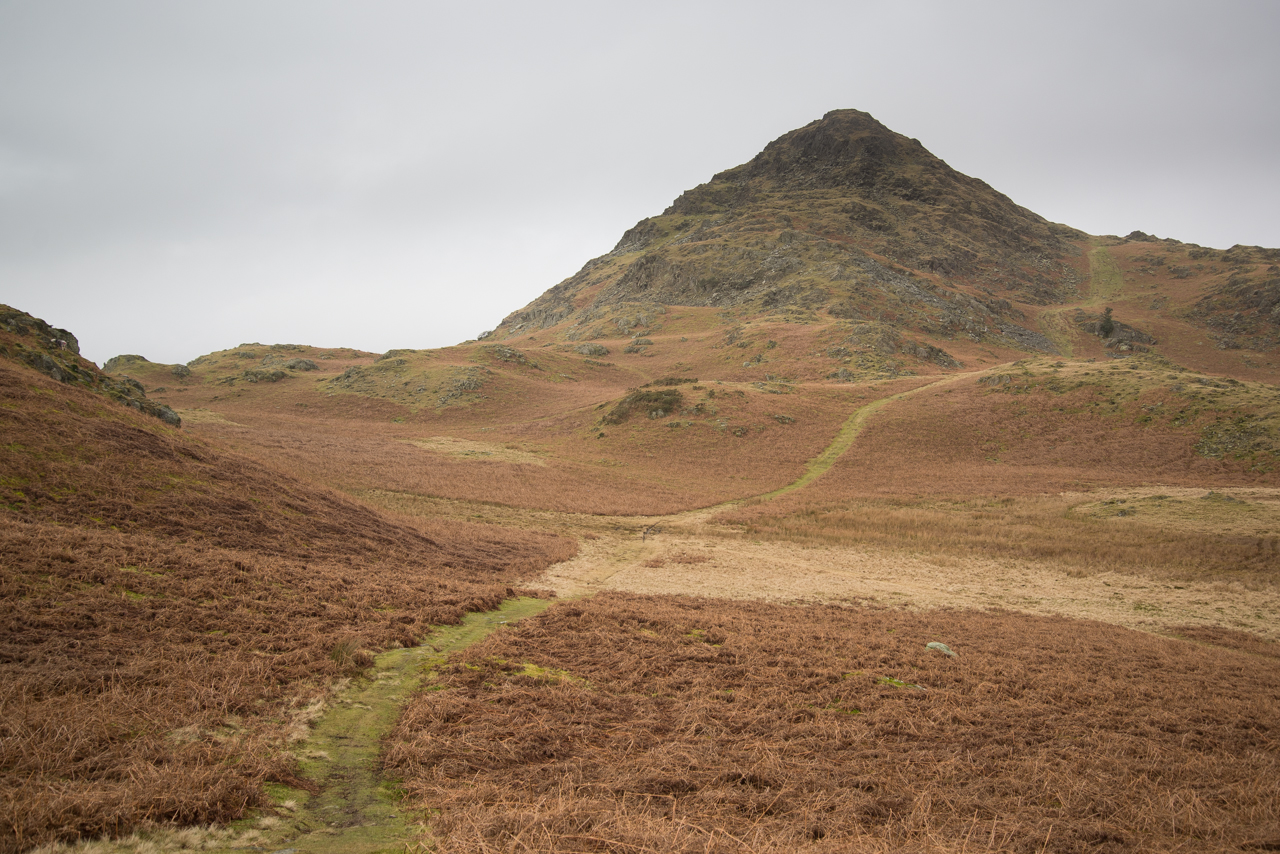
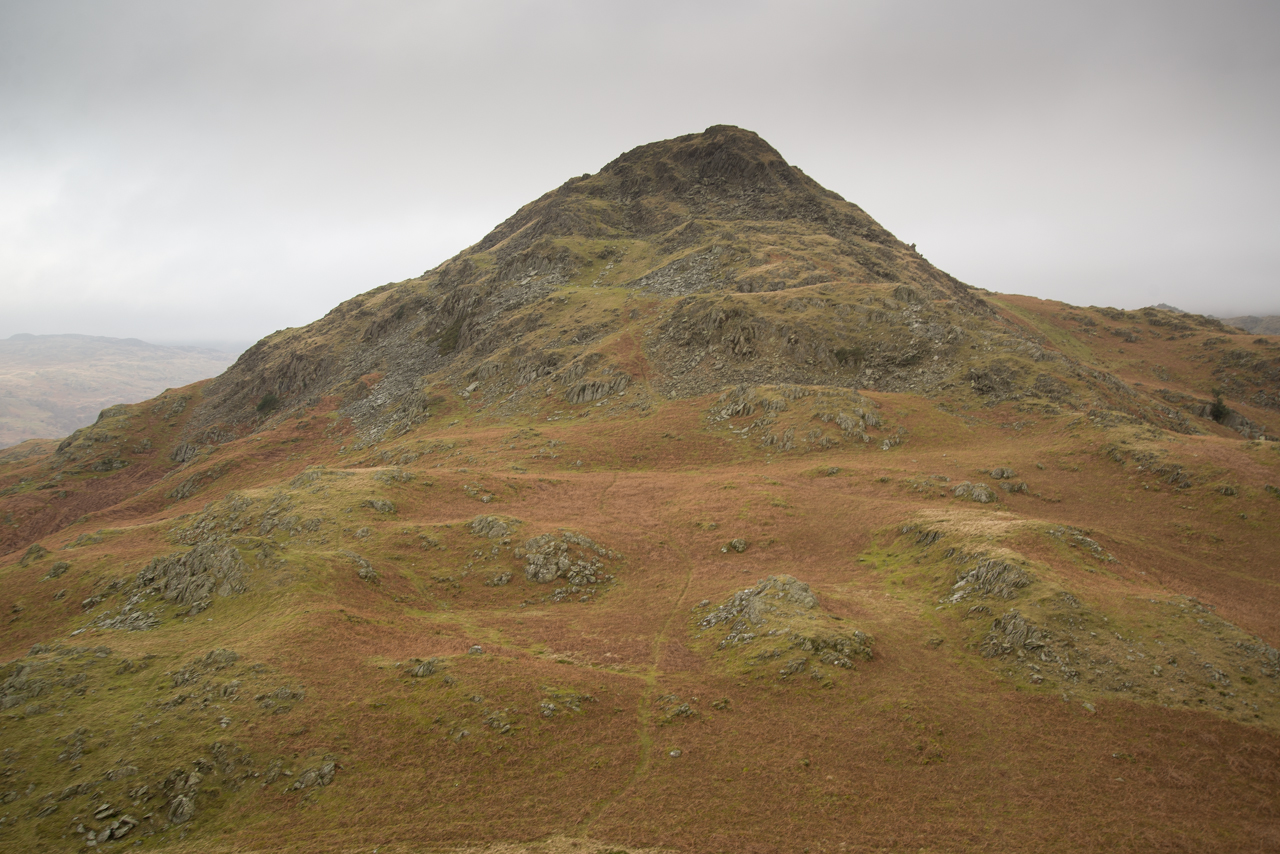
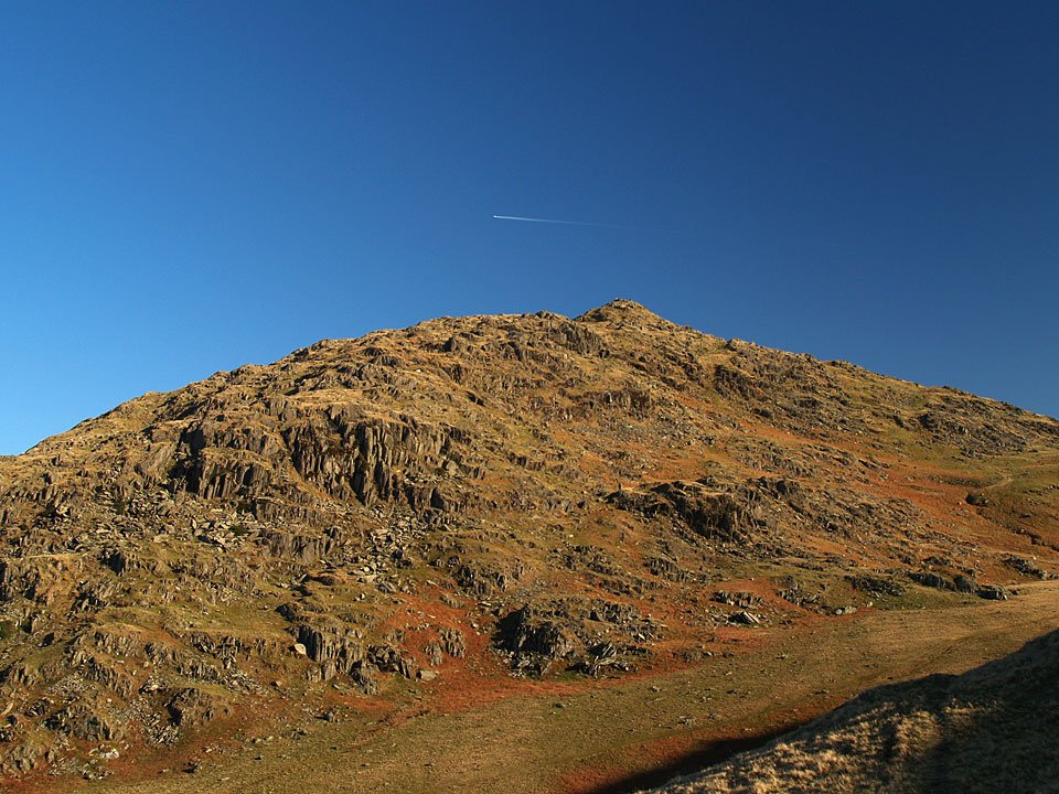
Stickle Pike has a fantastic shape.

610_5302

The Duddon Estuary from Great Stickle.

610_5307

Looking the other way.

610_5308

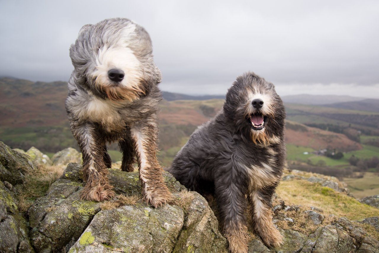
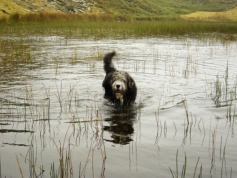
How breezy is it today boys?

610_5315

Great Stickle from the climb to Tarn Hill.

610_5317

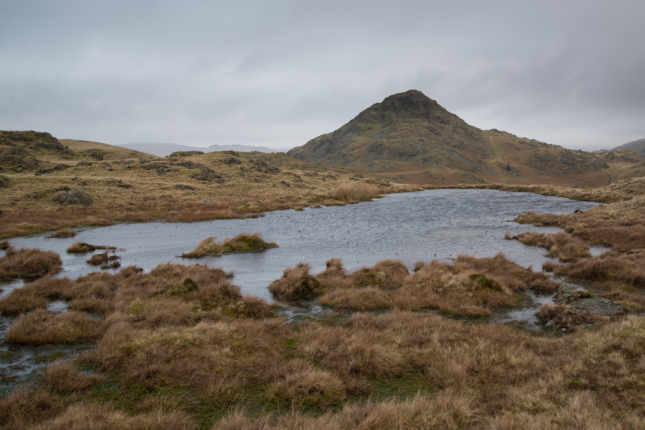
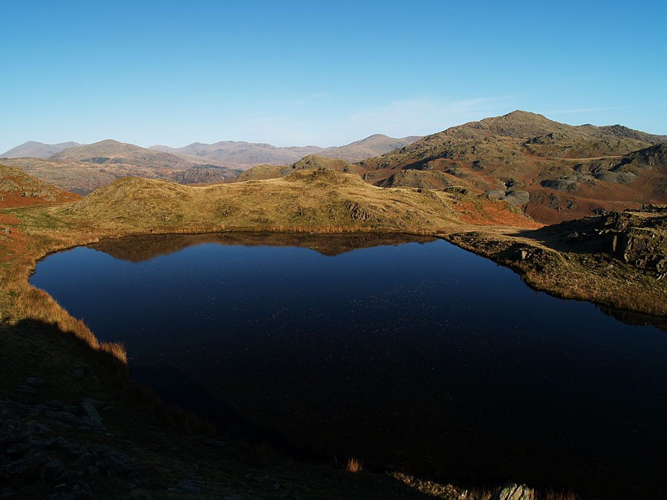
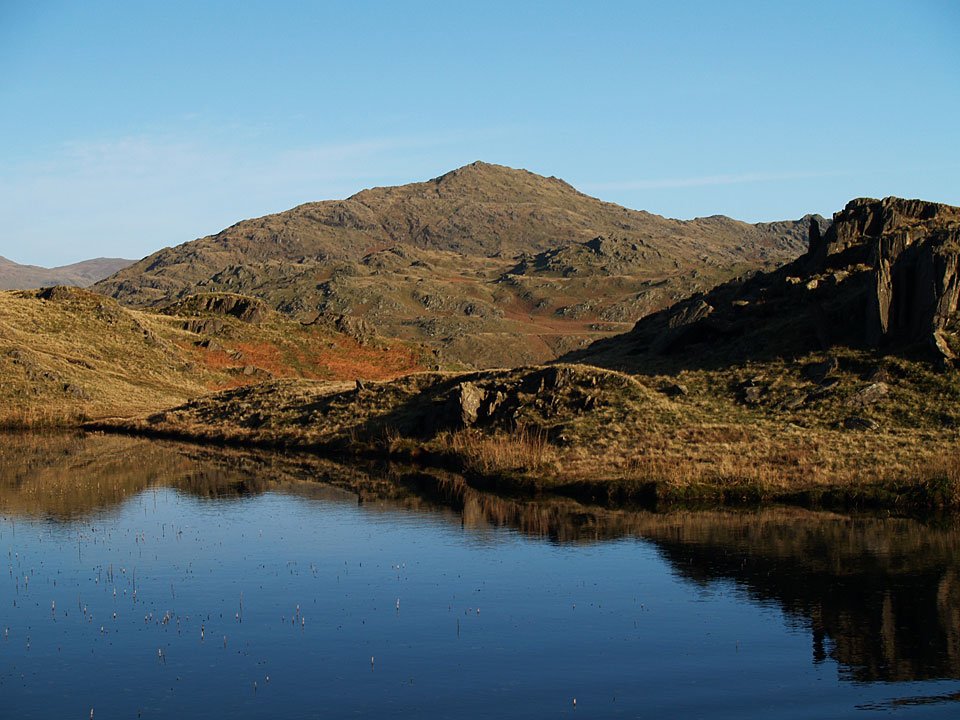
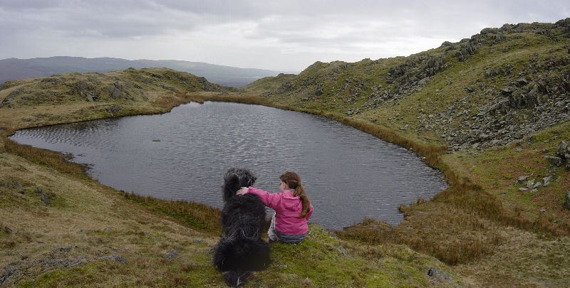
Our old friend Stickle Pike across one of the tarns.

610_5319

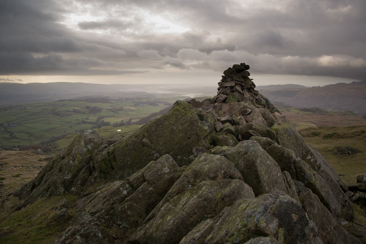
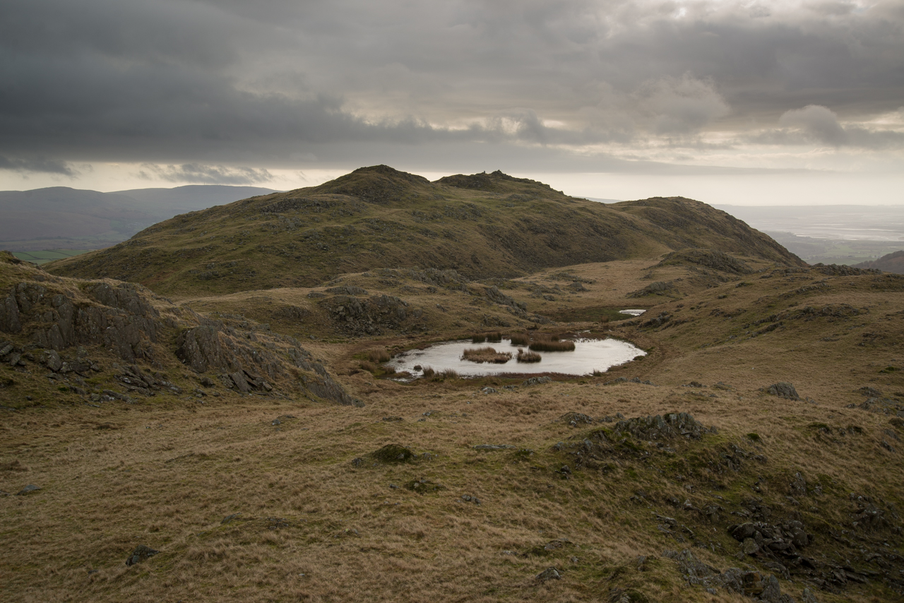
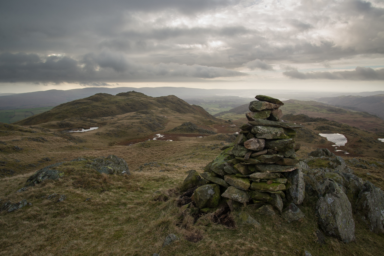
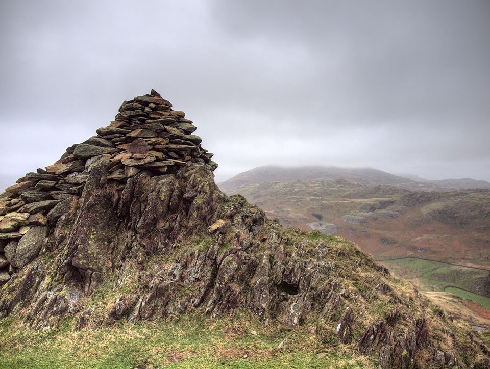
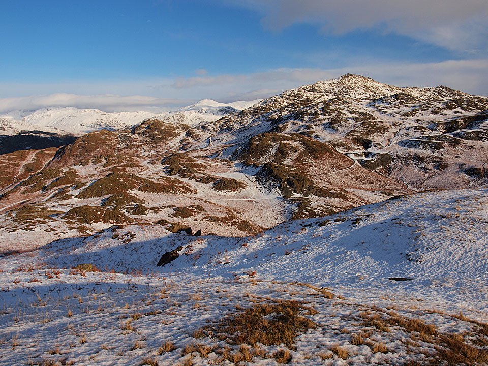
Great Stickle from Tarn Hill summit cairn.

610_5323

Up close and personal before we climb it.

610_5326

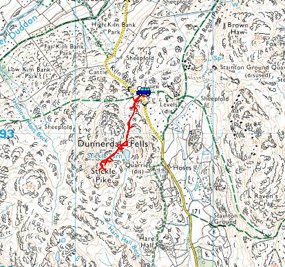
The route just walked.

610_5335

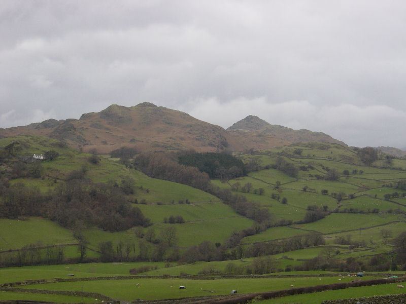
Three peaks - Great Stickle, Stickle Pike #1 and Stickle Pike #2.

Stickle Pike

Walked on 26/11/2011

Start point: Kiln Bank Cross (SD 215 933)

Kiln Bank Cross – Stickle Tarn – Stickle Pike (OF) – Kiln Bank Cross

Distance: 1 miles     Total Ascent: 105 metres     Time Taken: 25 minutes     Start Time: 12:20

Weather: Grey with a strong wind and showers. 12C

The weather this morning was less than fabulous with strong winds and showers. Even at lunchtime when I went for a walk up to Stickle Pike it was almost dark and the wind up on the top was pretty strong as expected and the rain came down in a big way just as I made it back down to the car.

PB267136

At the foot of the climb things were more than a little breezy today.

PB267142

Looking across to Caw whilst I was conveniently sheltered behind these large rocks.

PB267145

Heading for the tarn, straight ahead, with the summit up to the right.

PB267148

Looking across to the old levels on Raven's Crag, Caw beyond in cloud.

PB267157

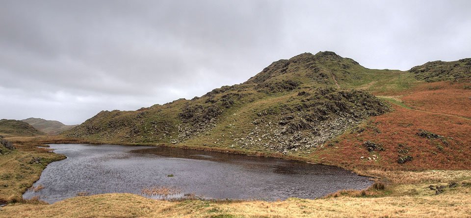
Windswept Stickle Tarn.

PB267167_s

Stickle Tarn and Pike.

PB267176

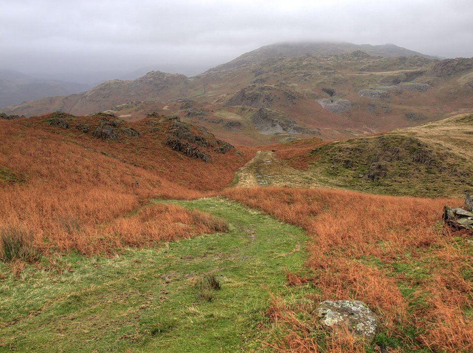
Looking back down the path.

PB267182

Stickle Pike summit.

PB267210

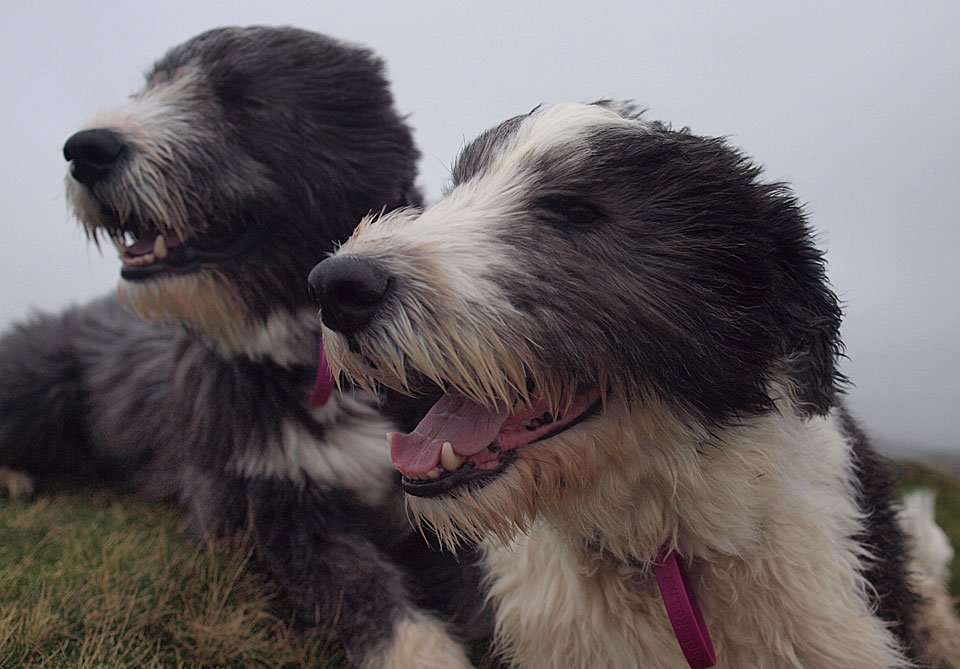
Dougal and Casper brave the wind.

PB267242

On the southern summit the wind was really strong and it made the going difficult, in fact it was hard work just to keep standing up. I hunkered down in a small hollow to get this shot of Great Stickle and the Duddon Estuary...

PB267257

...and turn around putting my head above the parapet to get this shot across to the main summit.

26.11.11-d

Yes, it 's pretty wild up here Dougal!

PB267299

Descending the summit on the northern side.

PB267302

The Duddon Valley and a quick jog from here to make the car before the rain came.

Stickle Pike

Walked on 21/01/2011

Start point: Kiln Bank Cross (SD 215 933)

Kiln Bank Cross – Stickle Tarn – Stickle Pike (OF) – Kiln Bank Cross

Distance: 1 miles     Total Ascent: 105 metres     Time Taken: 45 minutes     Start Time: 13:35

Weather: Cool and clear. 1°C

It was another beautiful day today and there was time for a short walk up to old favourite Stickle Pike. The views were once again glorious from up there with a haze layer lying over the Duddon Estuary to the south. Although the temperature was low it was really quite warm in the sunshine, especially when climbing the steep south face of the fell.

21.01.11-005

Caw from the climb.

21.01.11-008

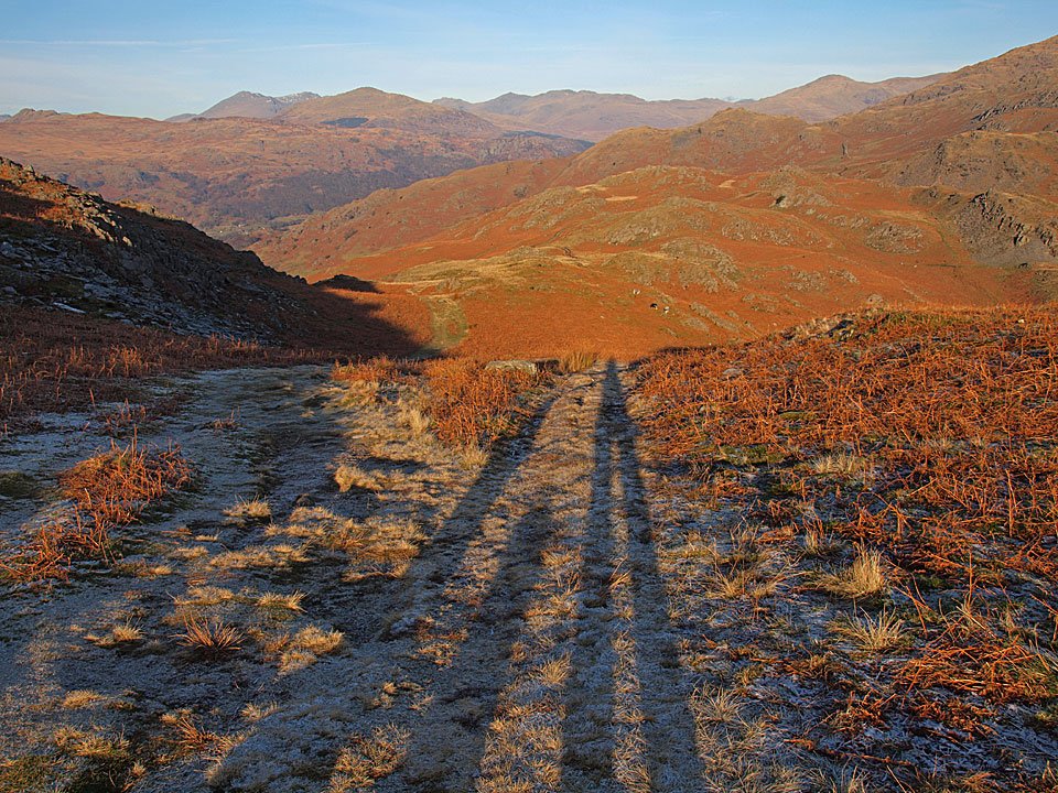
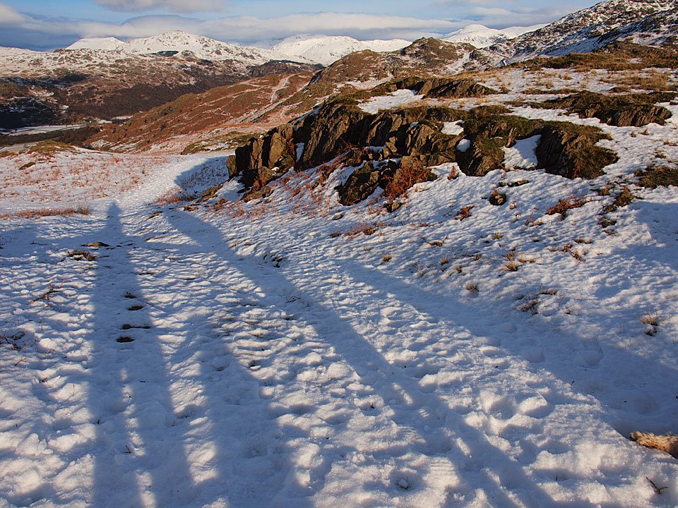
Three long shadows looking down to the Duddon Valley.

21.01.11-012

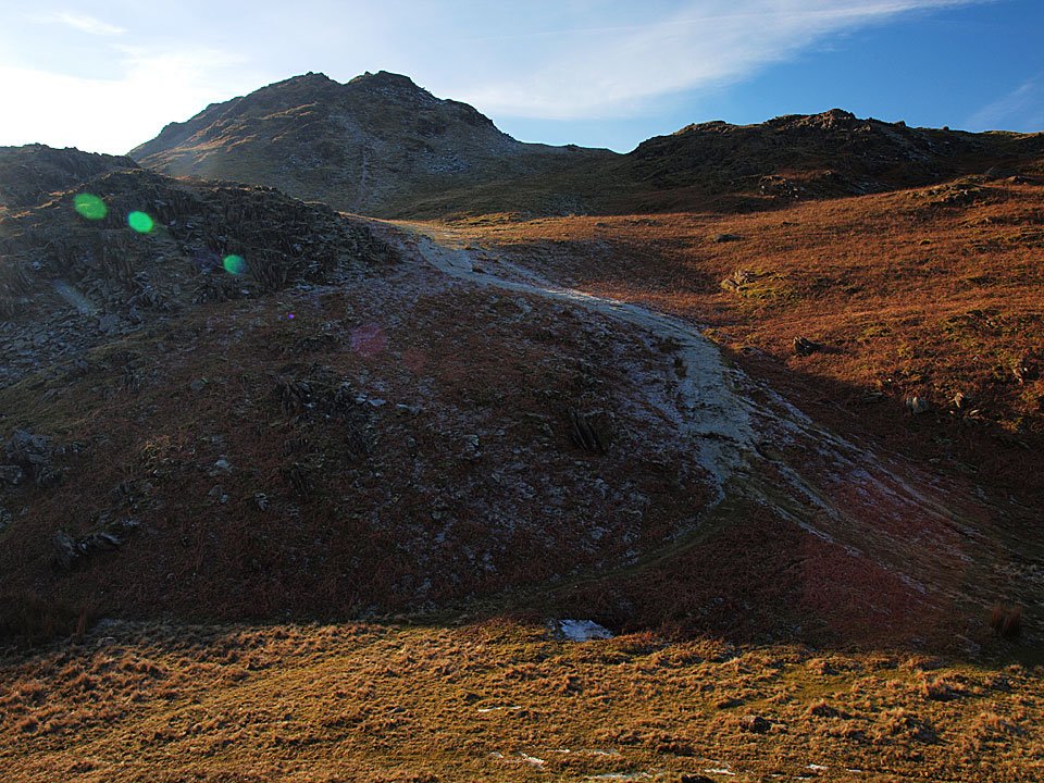
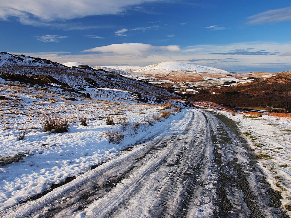
The icy path to Stickle Pike - we are not going that way today though.

21.01.11-015

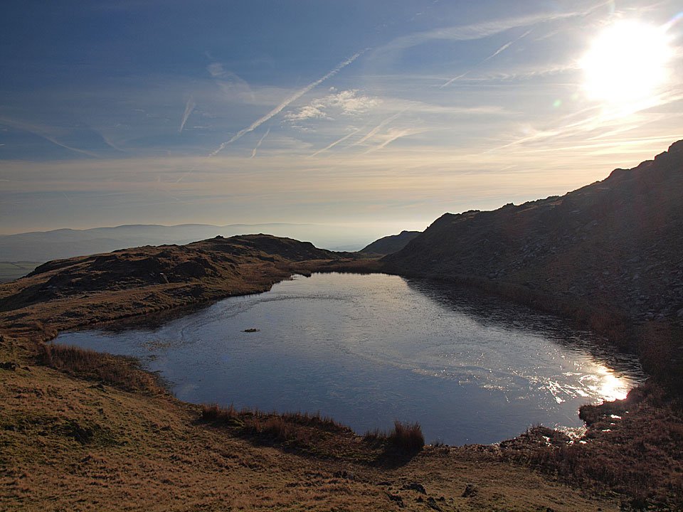
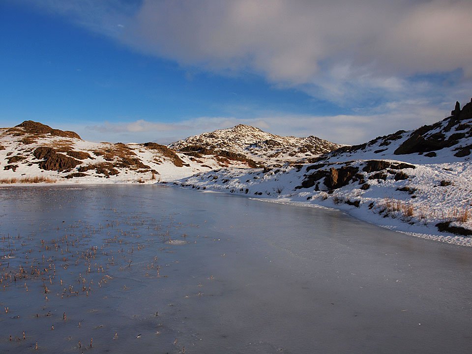
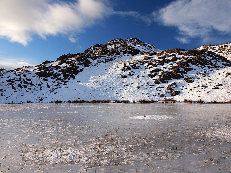
Frozen Stickle Tarn.

21.01.11-022

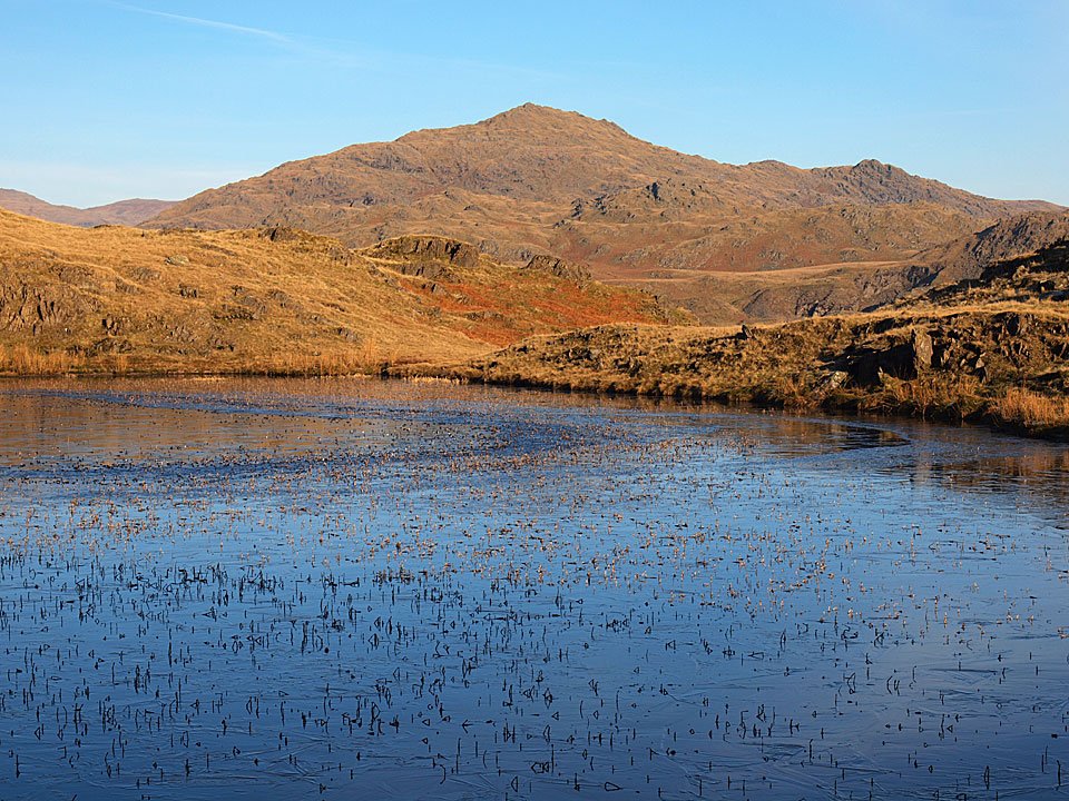
Caw across Stickle Tarn.

21.01.11-024

The Scafells and Harter Fell.

21.01.11-028

I came around Stickle Pike and climbed the rugged south face.

21.01.11-038

Wondering what we are doing?

21.01.11-044

Misty Black Combe.

21.01.11-057

Casper masquerades as one of the upright rocks.

21.01.11-059

Dougal is more interested in the sheep.

21.01.11-065

Made it to the top!

21.01.11-068

Shiny nose.

21.01.11-077

A superb view across the summit cairn - Harter Fell mid-distance with the Scafells to the left, Esk Pike and Bowfell to the right.

21.01.11-085

A layer of haze over the Duddon Estuary beyond Great Stickle.

21.01.11-087

Black Combe.

21.01.11-099

The view across Dunnerdale.

21.01.11-104

Great Stickle.

21.01.11-107

Looking for a way down.

21.01.11-108

Summit silhouette.

21.01.11-117

Scafell and Scafell Pike.

21.01.11-118

Pillar beyond Green Crag.

21.01.11-123

It was lovely and warm up here and I was in shirt sleeves.

21.01.11-124

He's spotted something.

21.01.11-137

Stickle Pike from the bottom - a real jewel.

Stickle Pike

Walked on 01/01/2010

Start point: Kiln Bank Cross (SD 215 933)

Kiln Bank Cross – Stickle Tarn – Stickle Pike (OF) – Kiln Bank Cross

Distance: 1 mile     Total Ascent: 105 metres     Time Taken: 1 hour

Weather: Cold and clear. 2°C

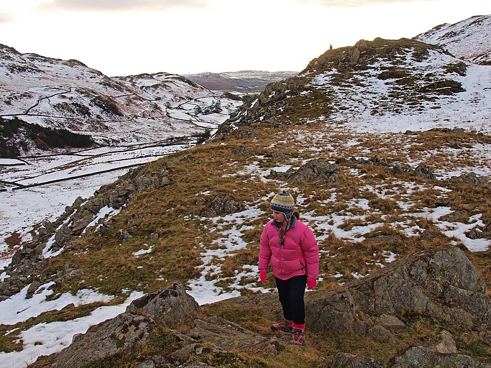
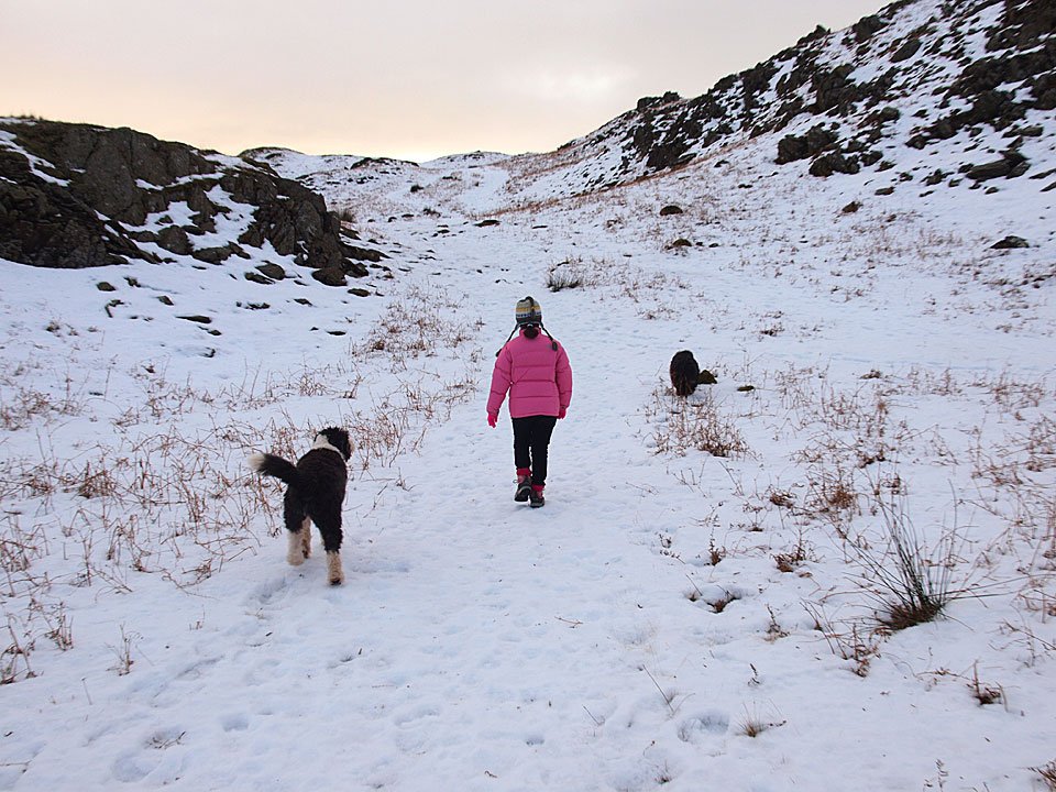
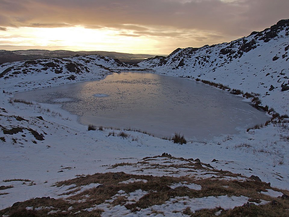
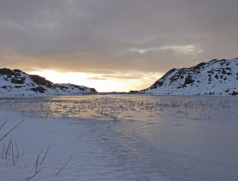
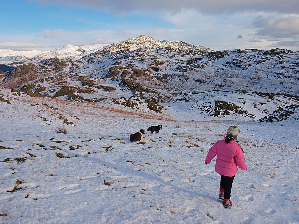
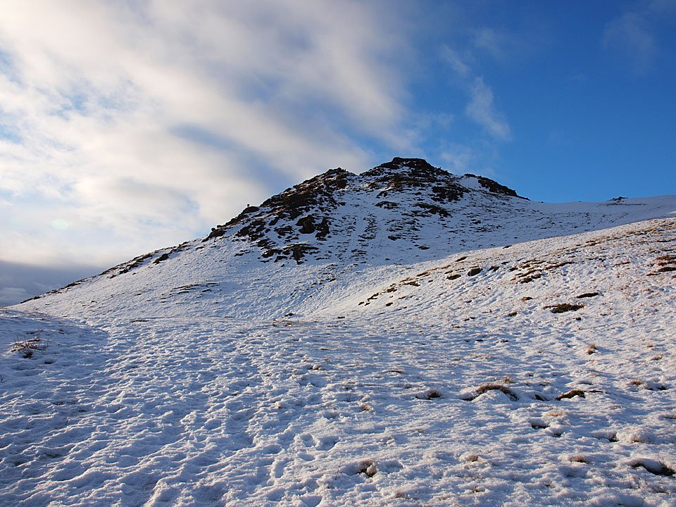
We had a short walk today up to Stickle Pike to help blow away some of the Christmas cobwebs. It was a lovely morning, very still with no one around and we had great fun walking in the crisp snow and ‘daring’ to walk across the frozen Stickle Tarn.
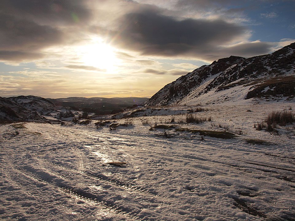
01.01.10-002

A brief moment of blue sky from Kiln Bank Cross looking over the road to Stickle Pike.

01.01.10-005

Looking back along the road we came up which was treacherous sheet ice. To the south the cloud was building up and the sun was trying to break through it.
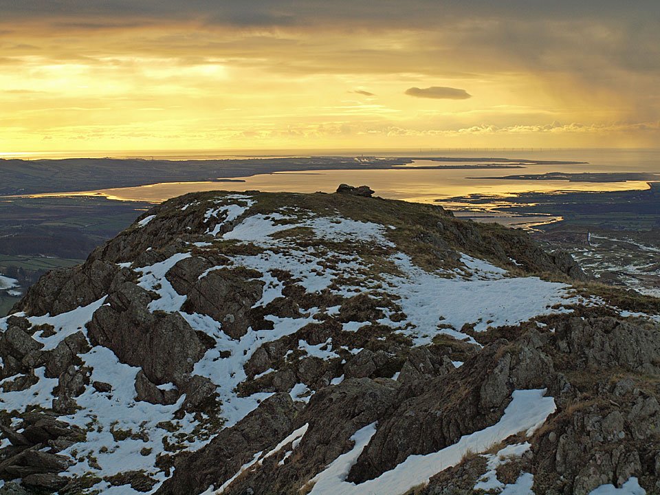
01.01.10-008

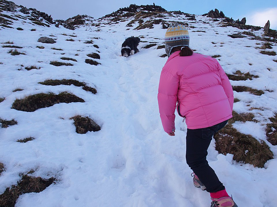
Connie the mountaineer.

01.01.10-012

Climbing higher with a strange, silhouetted figure in the background!

01.01.10-032

Heading for Stickle Tarn.

01.01.10-047

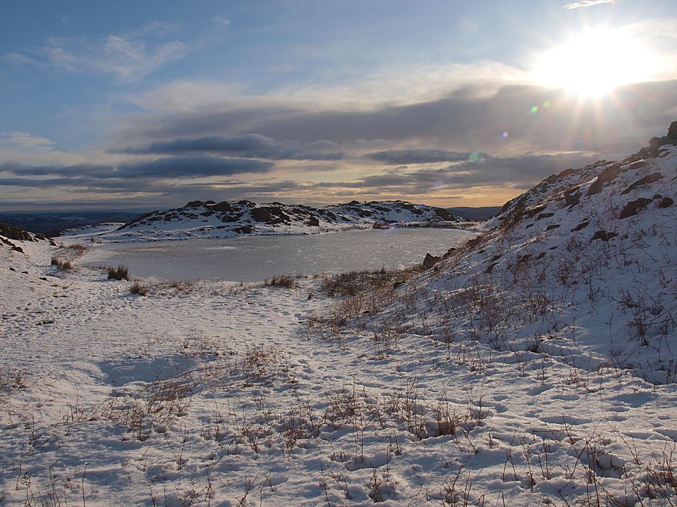
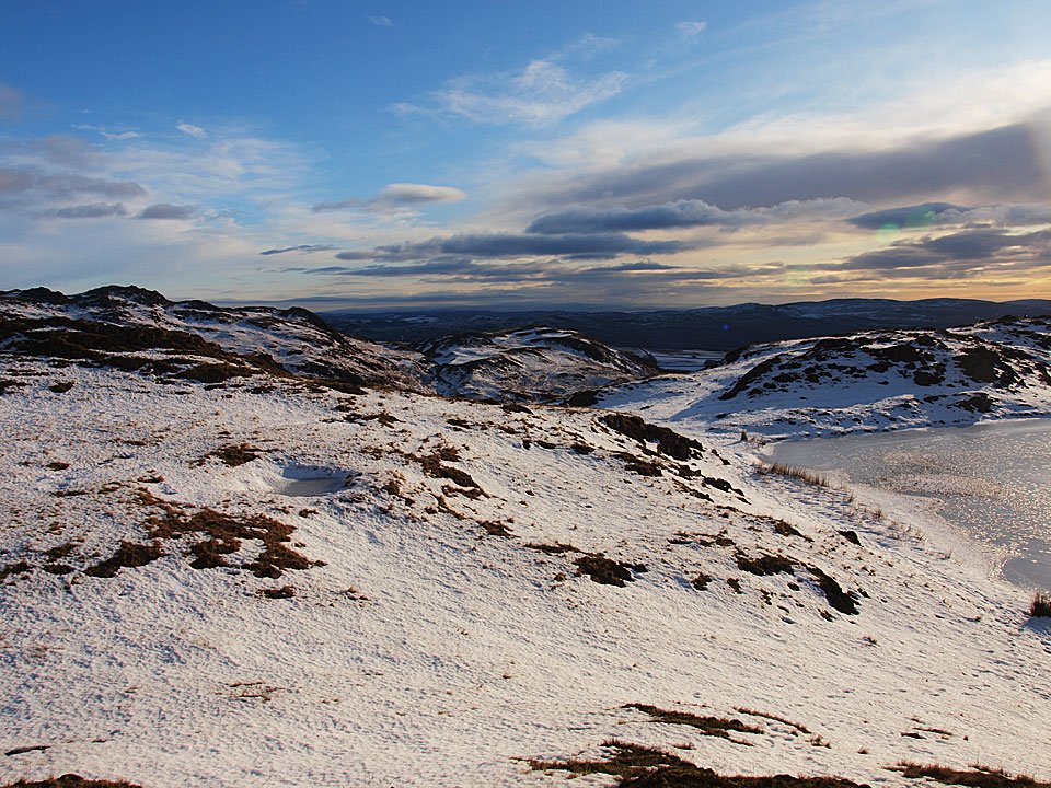
Winter sky across frozen Stickle Tarn.

01.01.10-054

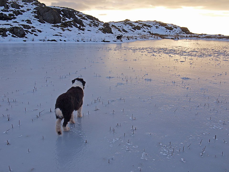
Winter at the edge of the tarn. Hmm, that ice looks quite thick...

01.01.10-061

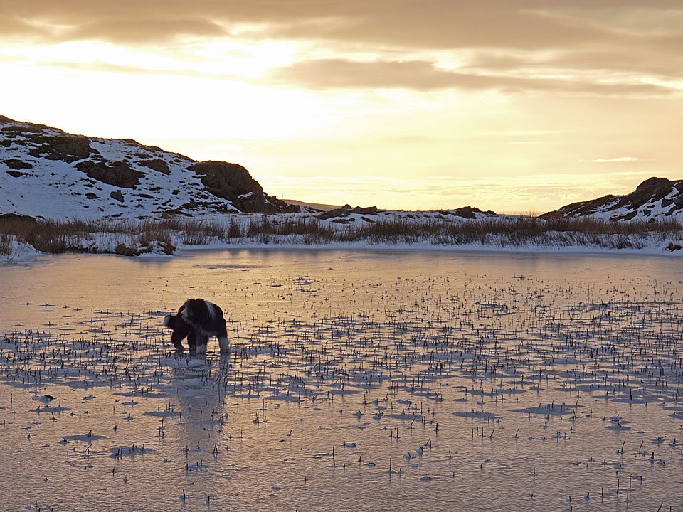
Me and Casper are on the ice but Dougally Doo is not quite so sure...

01.01.10-064

...a quick look before a much quicker exit!

01.01.10-071

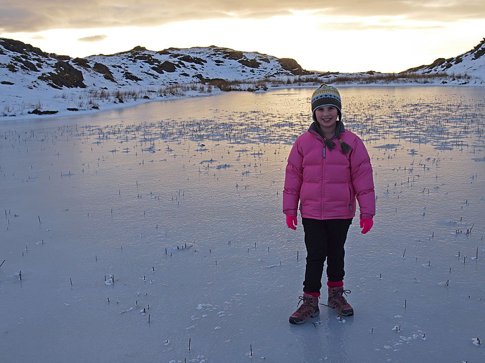
Me and Connie practiced our ice skating on here.

01.01.10-092

Climbing to Stickle Pike whilst Dougal eats the snow.

01.01.10-097

The Duddon Valley remains frozen below whilst Wasdale looks as though it is getting some sunshine.

01.01.10-100

Looking south to the Duddon Estuary across the south summit.

01.01.10-105

Scafell and Slight Side.

01.01.10-106

Winter sun over the Duddon Estuary, Barrow-in-Furness and Walney Island. On the horizon is the Barrow Offshore Wind farm (BOW).

01.01.10-123

Casper, Dougal and Connie on the summit, Great Stickle behind. Looks like a snow shower passing over the estuary too.

01.01.10-144

Looking to Caw from the descent and now the sun has come through once more.

01.01.10-150

Stickle Pike.

01.01.10-156

Back to Stickle Tarn.

01.01.10-163

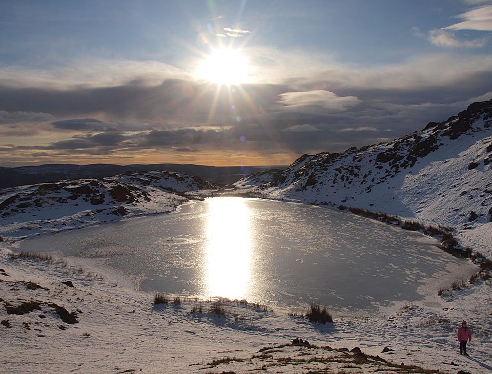
Reflected sun on the tarn now, Connie gives scale to the right.

01.01.10-168

Caw and snowy Dunnerdale.

01.01.10-171

Clearing to the south-east.

01.01.10-178

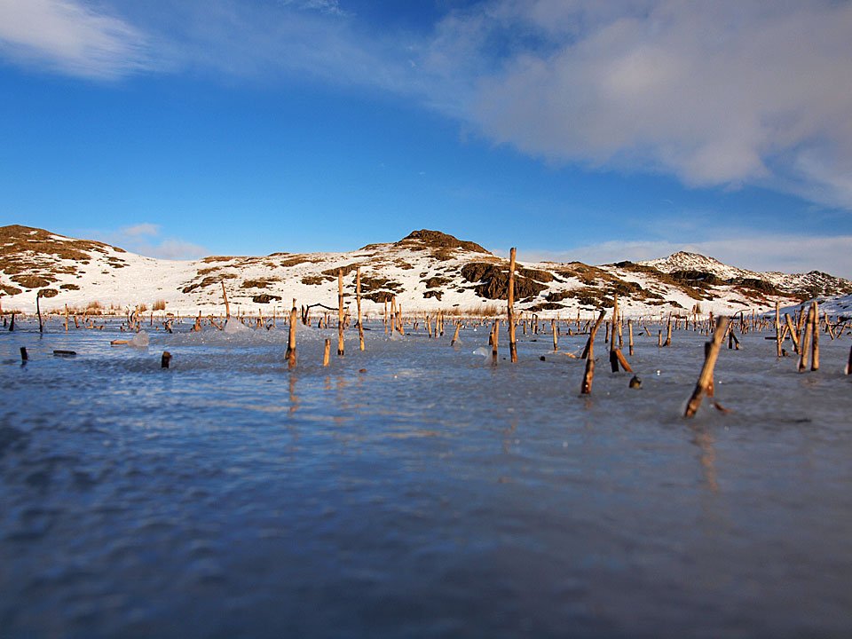
A fish-eye view from the ice on Stickle Tarn.

01.01.10-179

Caw from the middle of Stickle Tarn!

01.01.10-181

Stickle Pike from the middle of Stickle Tarn.

01.01.10-189

Four amigos with long shadows, even at midday - L-R me, Dougal, Connie and Casper.

01.01.10-195

Hesk Fell across the Duddon Valley. Now for the hardest bit - driving back down the road...gulp!

Stickle Pike

Walked on 13/07/2009

Start point: Kiln Bank Cross (SD 215 933)

Kiln Bank Cross – Stickle Tarn – Stickle Pike (OF) – Kiln Bank Cross

Distance: 1 mile     Total Ascent: 105 metres     Time Taken: 40 minutes

Weather: Sunny spell, breezy on top. 20C.

The schools have now finished and Connie only has eight weeks left to occupy herself! We decided to walk up Stickle Pike on this first day of the holidays and it was really sunny and warm when we set off in the car. All that had changed though by the time we made it to Kiln Bank Cross and all thoughts of a swim or a paddle went out of the window with the strong breeze that was blowing across the fells. It’s always a good one, though, is Stickle Pike with fab views all around.

13.07.09-008

Caw catches the sun but has an ominously black sky over it.

13.07.09-009

Clouds gathering over the Coniston fells.

13.07.09-011

Sunshine over the Duddon Valley - for now.

13.07.09-013

There are some big clouds forming to the south too, the way we are going.

13.07.09-015

The sentinel of Stickle Pike.

13.07.09-017

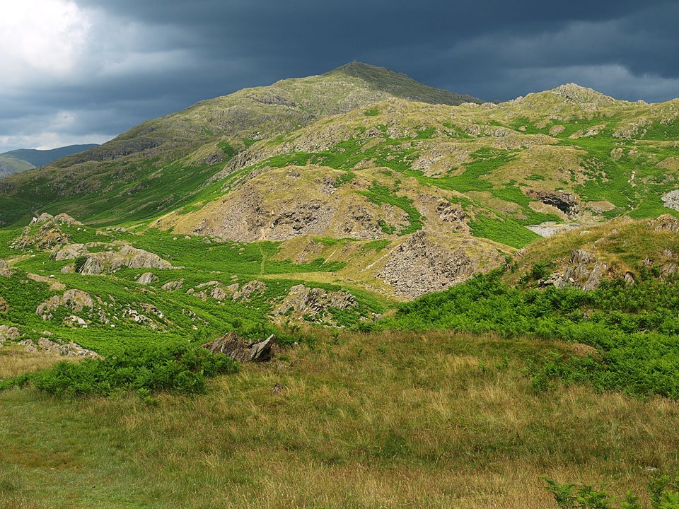
Caw blimey, it's all looking very green!

13.07.09-020

First one in.

13.07.09-029

One up, one down on the steep bit.

13.07.09-040

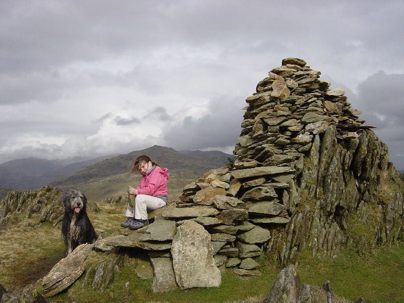
School's out for summer - Connie and Casper have a giggle at the summit.

13.07.09-048

Great Stickle and the Duddon Estuary.

13.07.09-058

A magnificent view to England's finest fells from the south cairn. By the time we got down they were completely covered in cloud and it was raining, so pretty good timing really.

Stickle Pike

Walked on 23/01/2009

Start point: Kiln Bank Cross (SD 215 933)

Kiln Bank Cross – Stickle Tarn – Stickle Pike (OF) – Kiln Bank Cross

Distance: 1 mile     Total Ascent: 105 metres     Time Taken: 30 minutes

Weather: Cold wind, snow. 4°C

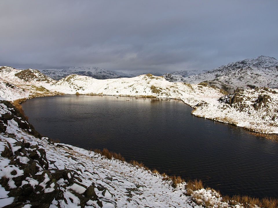
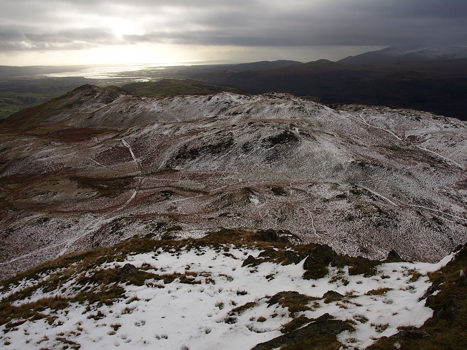
The rain was heavy throughout last night which of course fell as snow above 300m. I walked Stickle Pike but the view to the high fells was mostly obliterated by the angry looking snow clouds today. Just because Stickle Pike is small in stature, it doesn’t make the climb or descent any easier when there is wet, slippery snow around – as I found out to my cost!
23.01.09-009

Caw across Kiln Bank Cross.

23.01.09-021

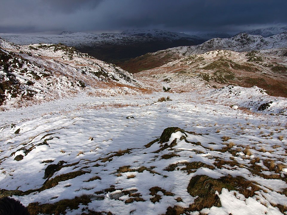
The view from further up the climb.

23.01.09-025

The path to Stickle Pike.

23.01.09-027

Footprints in the snow and a glimmer of sunshine.

23.01.09-031

Blue sky over Stickle Pike.

23.01.09-035

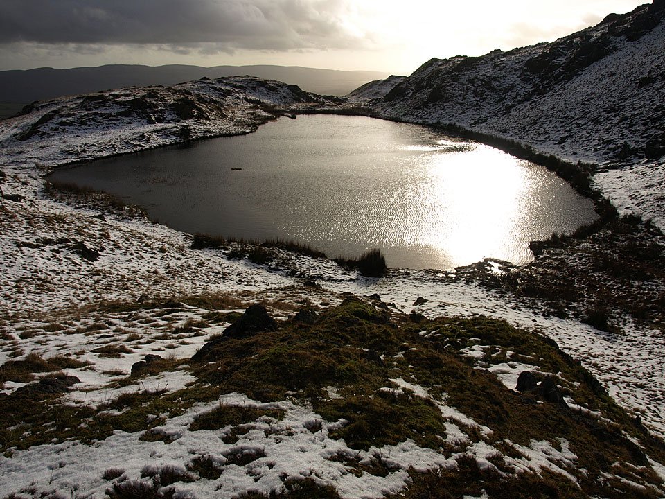
Glittering Stickle Tarn.

23.01.09-039

Looking back to the Duddon Valley, those clouds look very snow laden.

23.01.09-044

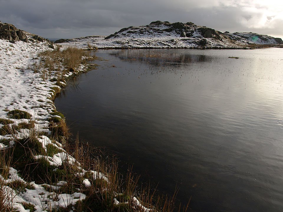
Moody Stickle Tarn.

ST_small

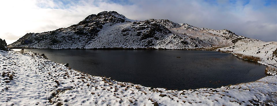
Panoramic Stickle Tarn.

23.01.09-067

Climbing to Stickle Pike summit looking towards cloud covered Harter Fell across Stickle Tarn. I managed to rip my gloves when I slipped on this section of the climb...just great!
23.01.09-072

Stickle Pike summit.

23.01.09-083

Whitfell, The Pike and Hesk Fell across the Duddon Valley.

23.01.09-102

The Duddon Valley from the summit.

23.01.09-105

Black Combe.

23.01.09-132

Casper - more snow for him to roll around in today!

23.01.09-138

I spotted this out of place carnation in the summit cairn on Stickle Pike.

23.01.09-147

The Duddon Estuary over Great Stickle. Look at those clouds over Black Combe to the right - that is a big snow shower and it's coming straight for us.
23.01.09-153

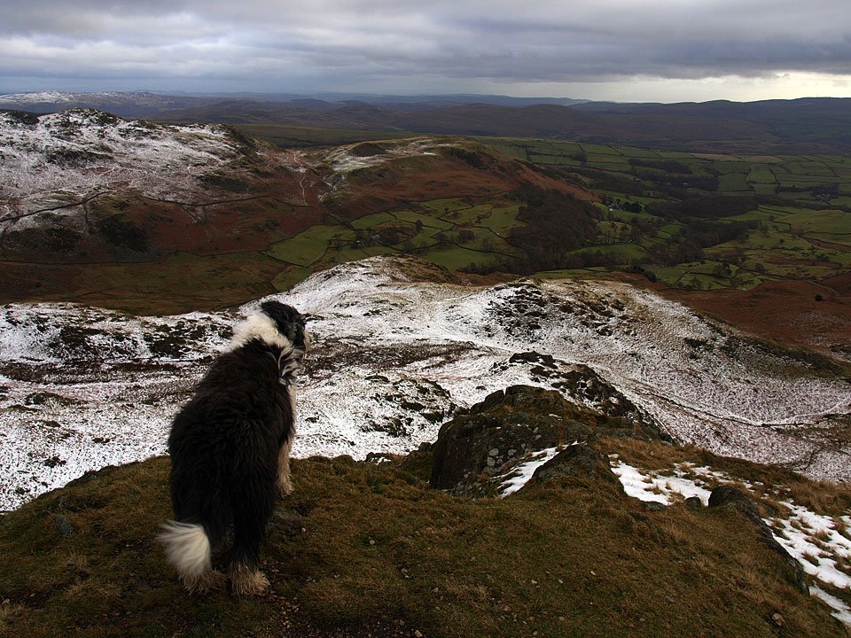
Having a look into Dunnerdale, but that's not the way for us today Casper. We made a quick descent to the north, but perhaps quicker than strictly necessary as the snow on that steep section was wet and slippery. As I slipped and slid down on my backside, I did wonder if I would ever stop but thankfully I managed to grab a passing boulder!

Winter Walk

Walked on 29/11/2008

Red Tarn from Three Shire Stone then Kiln Bank Cross – Stickle Tarn – Stickle Pike (OF) – Kiln Bank Cross

Weather: Sunny above the cloud, cold with snow. 0C.

We were under cloud at home this morning but I knew those conditions were likely to lead to clear skies once above it and we had some great views today with blue skies and snow and a big temperature inversion over the South Lakes.
29.11.08-004.jpg

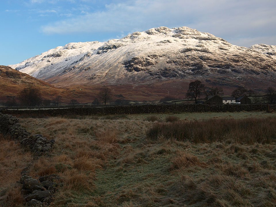
Little Stand from a frozen Duddon Valley. Originally we set of for Hard Knott today but half way up the pass we were blocked by a van that couldn't get up the icy road. So, a change of plan...
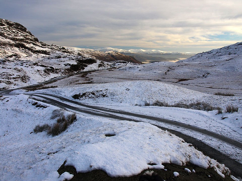
29.11.08-007.jpg

The view from the top of Wrynose Pass. We had to pass lots of stuck cars to get up here! Note there is no one else around yet either.
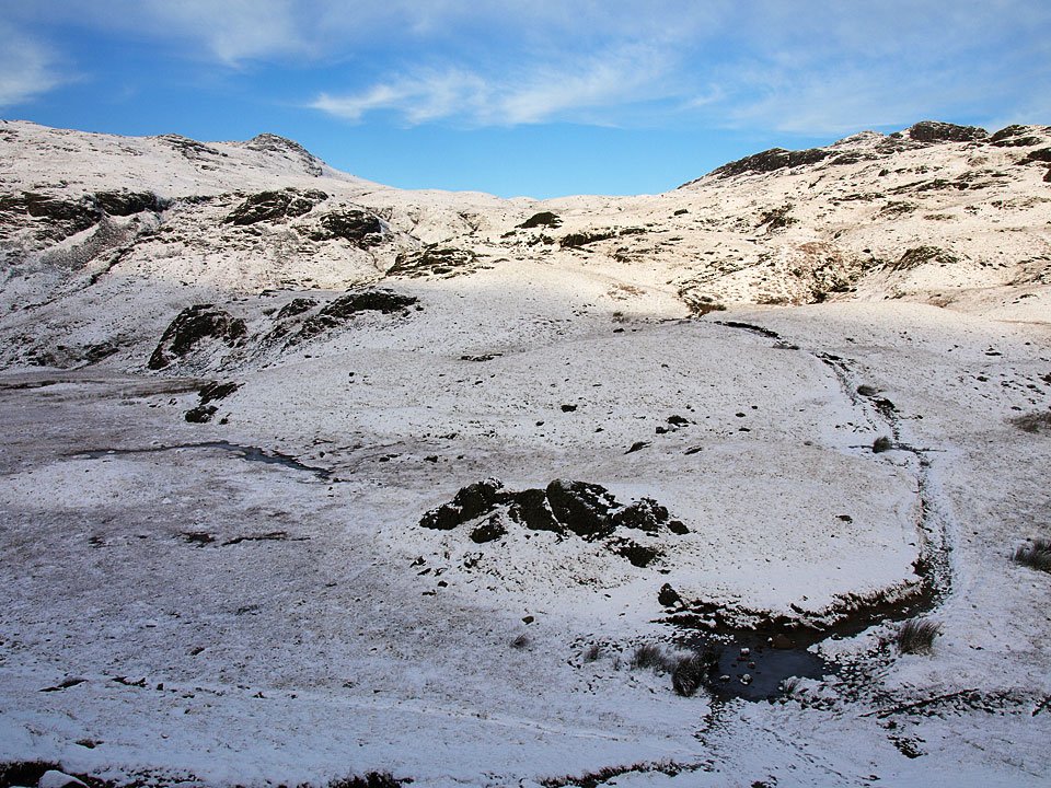
29.11.08-010.jpg

Cold Pike on the left, Pike o' Blisco on the right and the path we were going to follow up the middle.
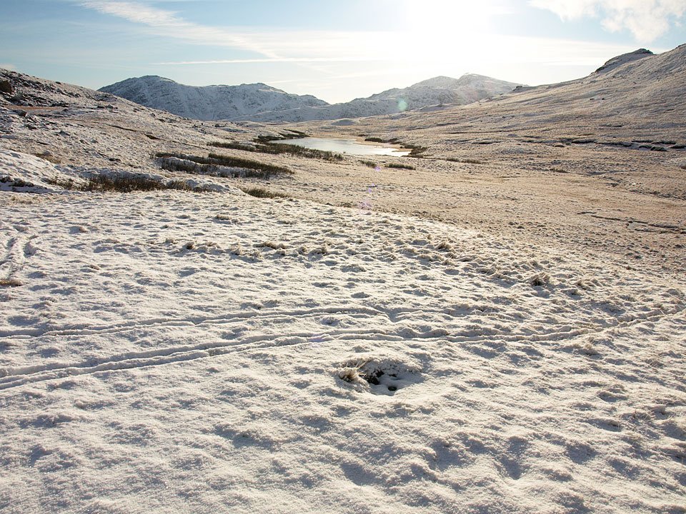
29.11.08-014.jpg

Harter Fell and Wrynose Bottom.

29.11.08-015.jpg

Cold Pike. What is that strange rock formation in the lower middle of the photo?

29.11.08-017.jpg

It was cold, cold, cold when we set off.

29.11.08-022.jpg

Looking back to Wetherlam.

29.11.08-023.jpg

Snow Beardie.

29.11.08-052.jpg

Climbing Redtarn Moss.

29.11.08-061.jpg

First site of Crinkle Crags.

29.11.08-069.jpg

Red Tarn, Crinkle Crags and Bowfell.

29.11.08-074.jpg

A group of walkers making their way up to Cold Pike.

29.11.08-095.jpg

What a view today.

29.11.08-100.jpg

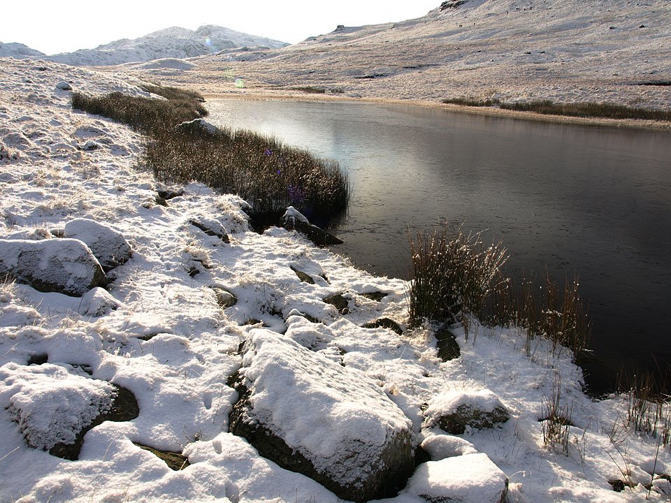
Frozen grass on the banks of Red Tarn.

29.11.08-110.jpg

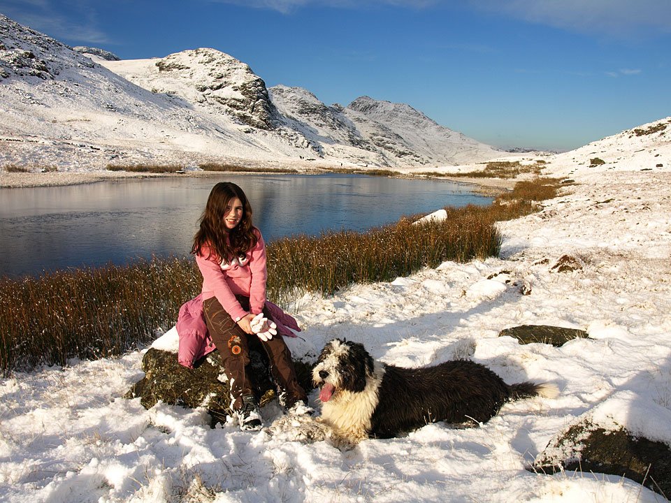
Connie and Casper seemed to enjoy it today.

29.11.08-116.jpg

I'm not surprised with views like this.

29.11.08-120.jpg

Great Knott.

29.11.08-122.jpg

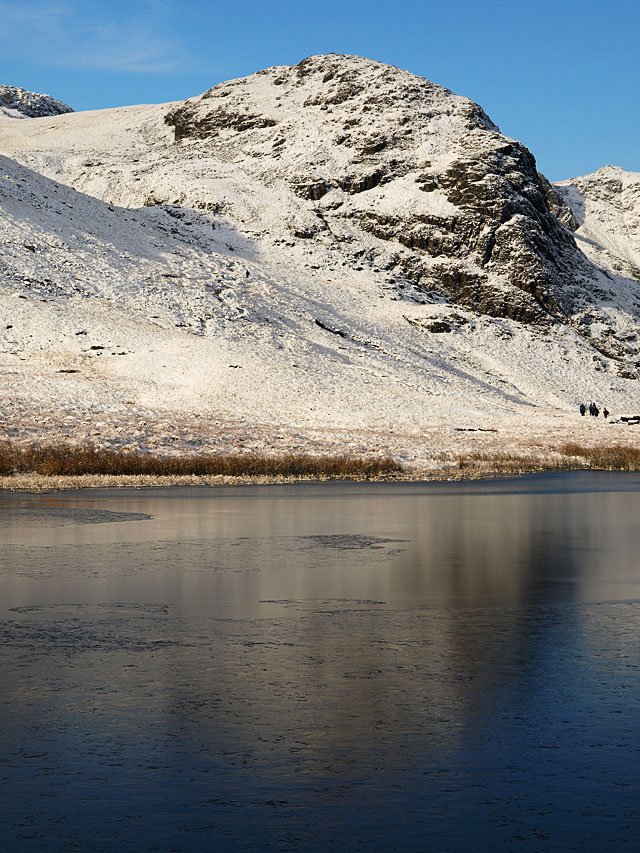
Looking across Red Tarn to the Coniston fells.

29.11.08-127.jpg

29.11.08-134.jpg

29.11.08-137.jpg

Looking back to the Coniston fells from the top of Browney Gill. It looks like someone has been skiing there.
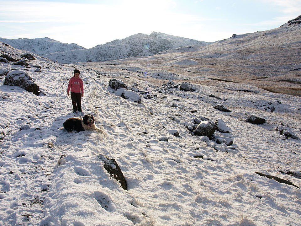
29.11.08-143.jpg

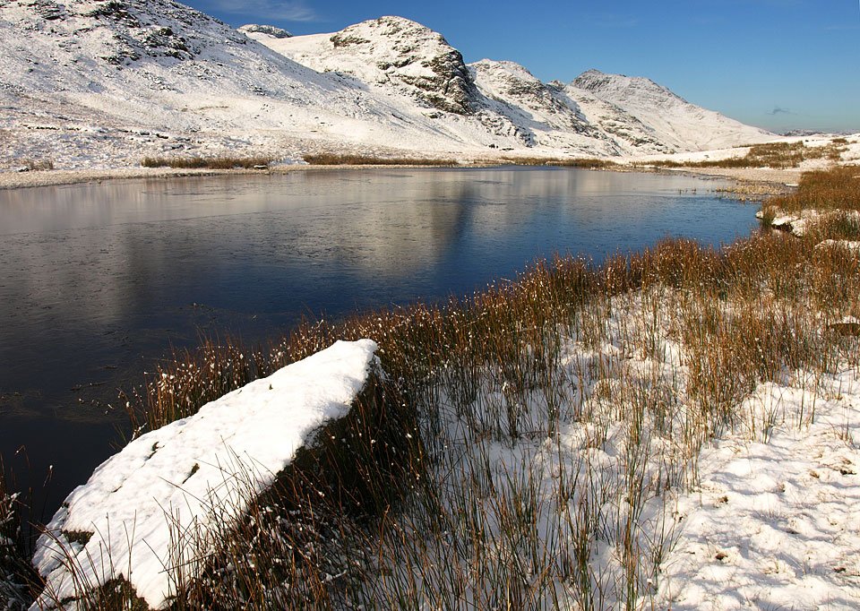
Frozen Red Tarn

29.11.08-146.jpg

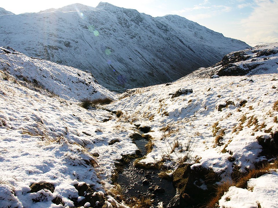
It was warm in the sunshine and time to cast a few layers, gloves, hats - you name it. I wonder who ended up carrying that little lot? Much as I would have loved to have climbed higher, I knew we weren't equipped for it today so we descended back by the same route.
29.11.08-147.jpg

Cold Pike across Red Tarn.

29.11.08-152.jpg

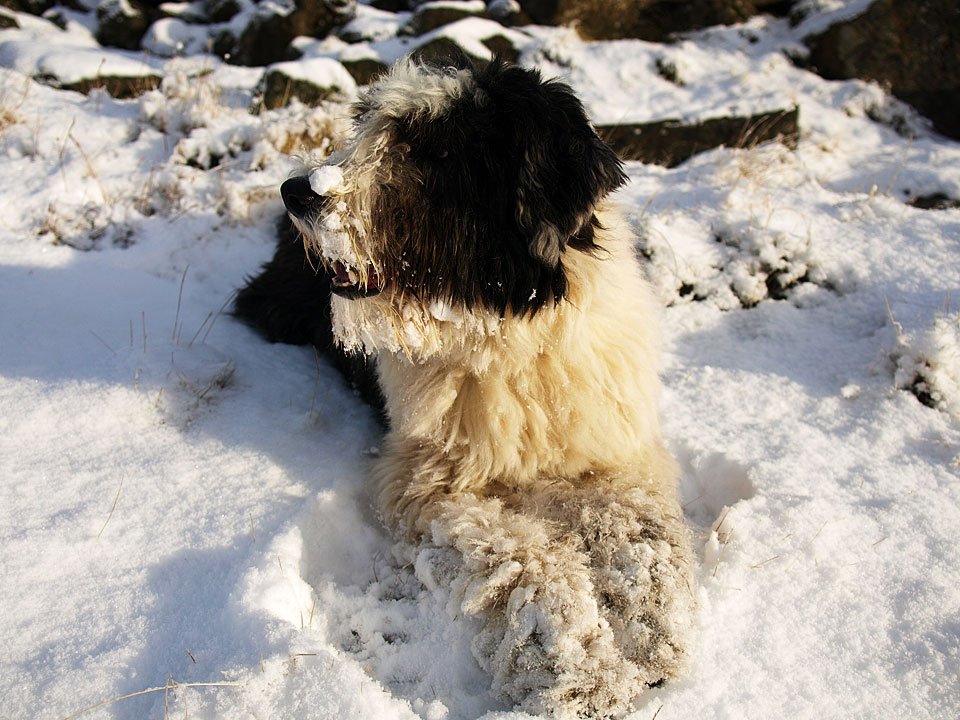
Casper goes goggle eyed at the snowball on his nose. Where did that come from I wonder?

29.11.08-157.jpg

Here's the culprit. Don't you dare!

29.11.08-163.jpg

Wetherlam, Swirl How and Great Carrs from the walk back.

29.11.08-165.jpg

Looking back to Cold Pike in the midday sun.

29.11.08-166.jpg

Swirl How and Great Carrs across Wrynose Pass. When we were at home earlier, we were under a thick blanket of freezing fog so I wondered whether it would have lifted by the time we got back. As we climbed to Kiln Bank Cross in the car, I knew it hadn't as there was a magnificent temperature inversion spreading southwards. Of course, there was only one thing to do and that was to climb Stickle Pike to get a better view...
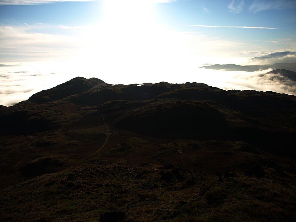
29.11.08-210.jpg

Caw from the climb.

29.11.08-213.jpg

Raven's Crag and The Knott on the edge of the inversion.

29.11.08-245.jpg

Caw and the Coniston fells, Stickle Tarn below.

29.11.08-258.jpg

A difficult shot to get in the direct sunlight but a good silhouette of Great Stickle and a tarn on Tarn Hill glinting in the sun. To the right is Black Combe.

29.11.08-262.jpg

The only thing standing proud of the dense layer of cloud is Kirkby Moor. That got me thinking later on when I was out and about - perhaps I could get above the cloud in the car at sunset...

29.11.08-274.jpg

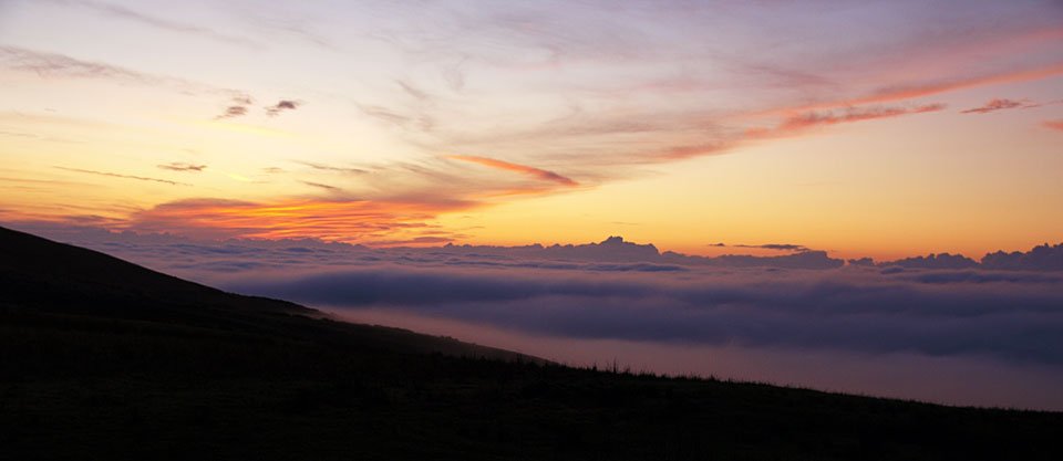
Just got above it on Kirkby Moor as the sun was setting.

29.11.08-280.jpg

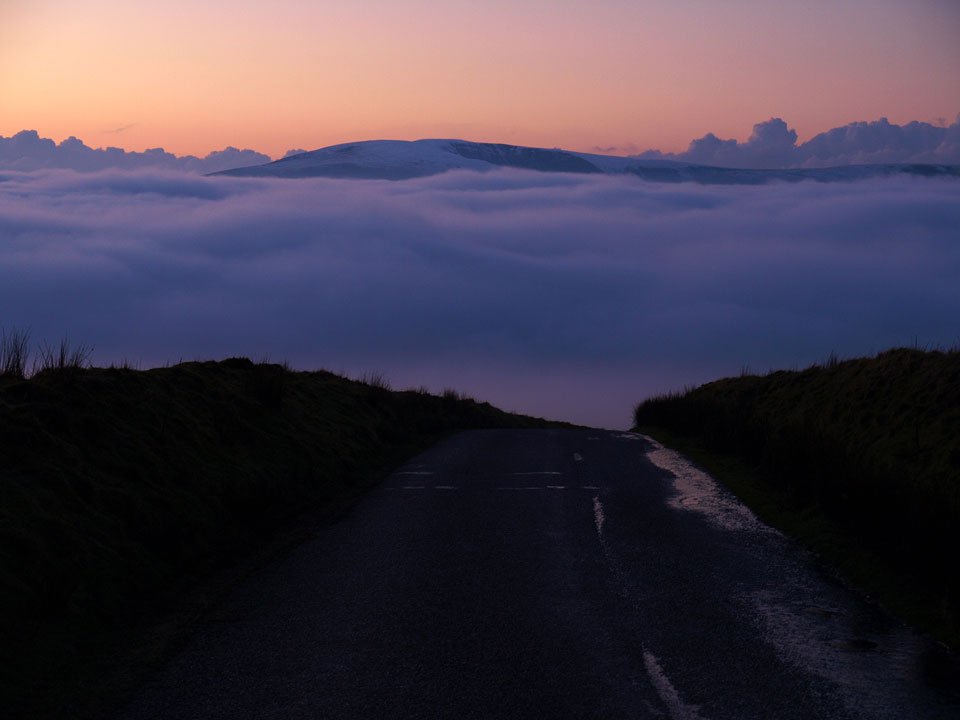
It's getting dark but you can still see a snow covered Black Combe across the cloud layer.

29.11.08-290.jpg

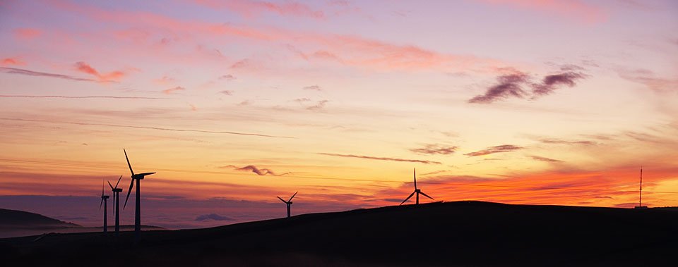
Windmill silhouette. Descending from here towards Lowick across Osmotherley Moor, the Coniston fells were standing proud of the cloud covered Crake Valley - another jaw dropping view. Too dark for photos by then though!

Caw

Walked on 16/01/2007

Start point: Seathwaite, Dunnerdale (SD 228 960)

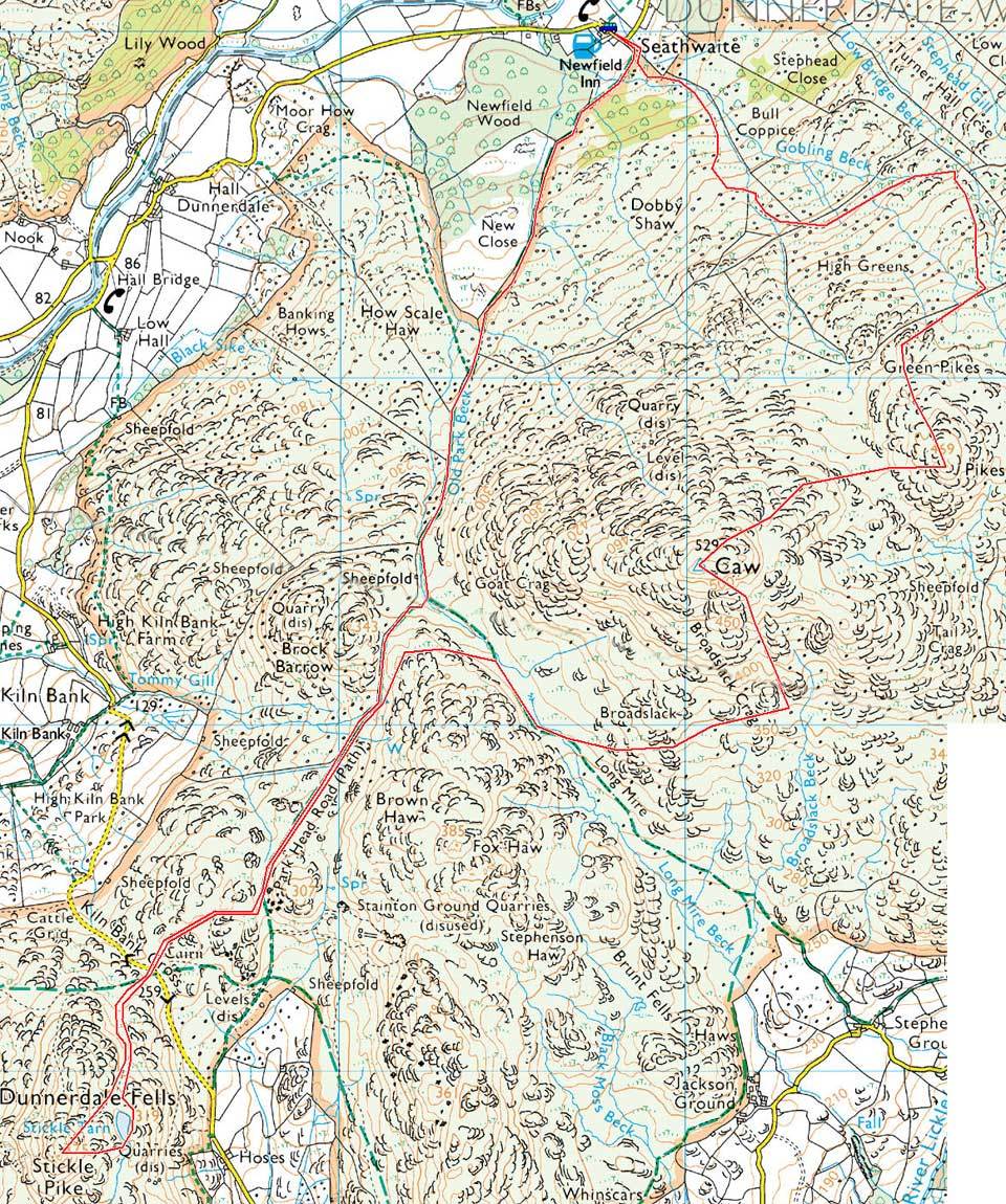
Seathwaite – Park Head Road – Stickle Tarn – Stickle Pike (OF) – Caw (OF) – Pikes (OF) – Green Pikes (OF) –  Seathwaite

Distance: 7 miles     Total Ascent: 700 metres     Time Taken: 5 hours

Weather: Cool and clear. 4°C

Today I met up with Roger and Ann Hiley and their two dogs for a walk to Stickle Pike and Caw from Seathwaite in the Duddon Valley. The weather was almost unbelievably different to the wet and windy weather we have experienced over the last week or so as it was cool and clear. The views were superb from everywhere today; if only it would stay like this for a while!

Caw

16.01.07-002

Wallowbarrow Crag and Harter Fell above a cold looking Seathwaite.

16.01.07-005

Dow Crag from Park Head Road.

16.01.07-025

Passing Caw en route to Stickle Pike.

16.01.07-026

Stickle Pike ahead.

16.01.07-030

Caw from the climb up to Stickle Pike

16.01.07-034

...and the view from further up.

16.01.07-044

A clear view to Harter Fell with the Scafell range, Esk Pike and Bow Fell beyond from the summit of Stickle Pike

16.01.07-047

The Pike, centre, with Whitfell and Hesk Fell beyond across the Duddon Valley.

16.01.07-048

Casper enjoying the sunshine with a stray tail to the right!

16.01.07-051

Group summit photo - Angus, Casper, Bethan and Harry. It's bad enough getting two dogs to keep still, never mind four!
16.01.07-061

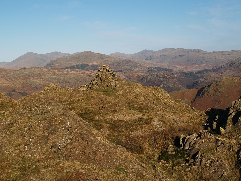
The view descending to a mirror finished Stickle Tarn

16.01.07-067

Caw across Stickle Tarn

16.01.07-077

Returning to Caw - we ascended from the south-east, to the right of this photo.

16.01.07-091

A beautiful azure sky heading for the summit of Caw.

16.01.07-092

Looking to the head of the Duddon Valley from Caw.

16.01.07-096

The Coniston fells.

16.01.07-097

Scafell Pike, Broad Crag and Ill Crag with Pen in the centre.

16.01.07-098

Harter Fell, Scafell beyond

16.01.07-099

Esk Pike.

16.01.07-101

Grey Friar.

16.01.07-113

Devoke Water.

16.01.07-114

Wallowbarrow Crag.

16.01.07-115

Dow Crag, Buck Pike, Coniston Old Man, Brown Pike, Walna Scar and White Pike.

16.01.07-122

In the sunshine on Caw - there was a cool breeze on the top today though

16.01.07-141

White Pike and White Maiden beyond Pikes, the next objective

16.01.07-145

The lowering sun gives some texture to the Scafells

16.01.07-146

...and the Coniston fells.

16.01.07-152

Panoramic Duddon Valley.

16.01.07-155

Esk Pike and Bow Fell.

16.01.07-157

Haycock, Scoat Fell and Wasdale Red Pike. The left central ridge is Illgill Head with Yewbarrow to the right and Harter Fell in the foreground.

16.01.07-158

A final view of Scafell and Scafell Pike on the descent from Green Pikes.

Stickle Pike

Walked on 07/09/2005

Start point: Kiln Bank Cross (SD 215 933)

Kiln Bank Cross – Stickle Tarn – Stickle Pike (OF) – Kiln Bank Cross

Distance: 1 mile     Total Ascent: 153 metres     Time Taken: 30 minutes

Weather: A drizzly, grey morning. 16°C.

It was grey with drizzle this morning – there wouldn’t be any views, anywhere – so we went for a short walk up to our often visited favourite, Stickle Pike above Broughton Mills and the Duddon Valley. There was no company this morning either as the children are back at school, so it was back to the old team once again!

Stickle Pike - 7th September 001

Looking along the Dunnerdale Fells to The Knott, low lying cloud hanging on the tops.

Stickle Pike - Panorama1

Stickle Tarn (where's Angus? - answers on a postcard please..!).

Stickle Pike - 7th September 008

Even lowly Stickle Pike had its head in the clouds today.

Stickle Pike - 7th September 015

Angus on the summit of Stickle Pike.

Stickle Pike - 7th September 018

Great Stickle.

Stickle Pike - 7th September 024

A swim in Stickle Tarn.

Stickle Pike

Walked on 23/03/2005

Start point: Kiln Bank Cross (SD 215 933)

Kiln Bank Cross – Stickle Tarn – Stickle Pike (OF) – Kiln Bank Cross

Distance: 1 mile     Total Ascent: 153 metres     Time Taken: 50 minutes

Weather: Brighter than this morning, 14oC.

As it was a bit brighter this afternoon, we had another short walk up to Stickle Pike above Broughton Mills. We were joined by Connie after she was sprung from school for Easter at lunchtime – much better than sitting in a classroom I think!

Stickle Pike is described in Wainwright’s Stickle Pike chapter in his book ‘The Outlying Fells of Lakeland’, page 126.

Stickle Pike

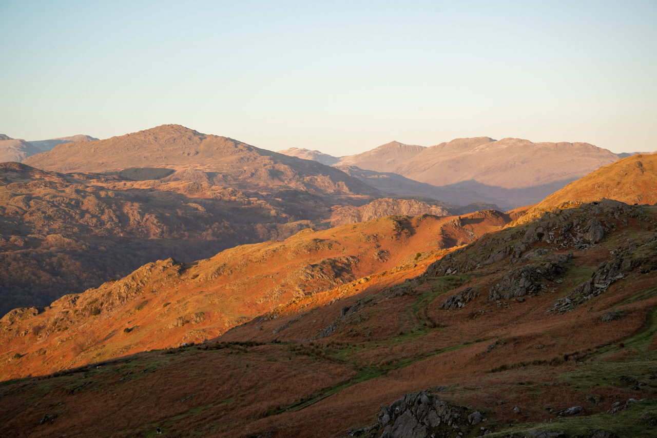
Stickle Pike route map.
Stickle Pike - 23.03.05 001

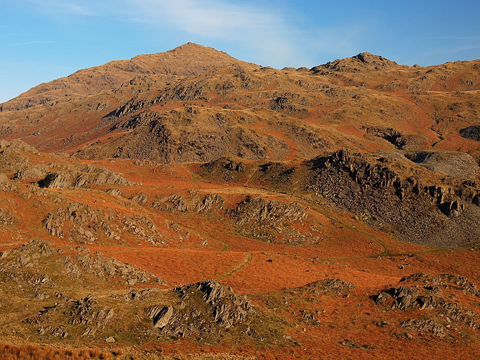
Great Stickle, left, and Stickle Pike, right, from Broughton Mills.
Stickle Pike - 23.03.05 002

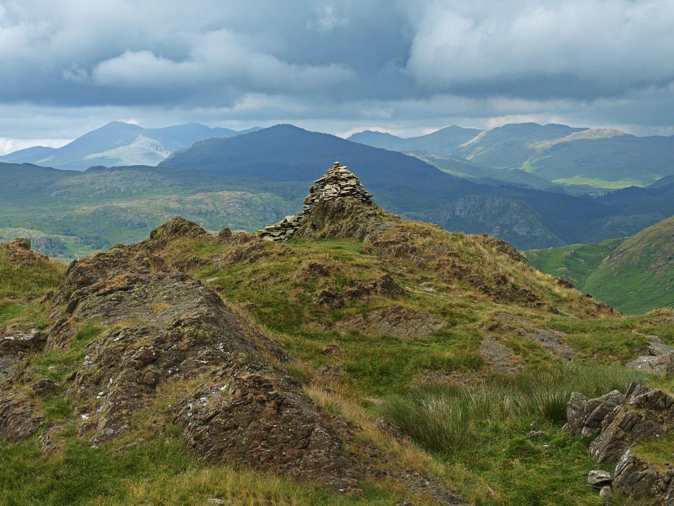
Caw from the ascent of Stickle Pike. This is the fell I have chosen for the Wainwright Society Great Lakeland Challenge in May. Incidentally, Eric Robson, chairman of the Wainwright Society, writer and broadcaster has chosen Stickle Pike.

Stickle Pike - panorama3

Angus and Connie at Stickle Tarn.

Stickle Pike - 23.03.05 024

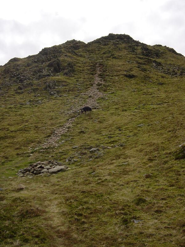
The steep path to the summit of Stickle Pike.

Stickle Pike - 23.03.05 026

Stickle Pike summit looking to Harter Fell.

Stickle Pike - 23.03.05 037

Looking over Great Stickle and Tarn Hill along the Lickle Valley to the Duddon Estuary.

Stickle Pike - 23.03.05 044

Harter Fell with a glimpse of Bow Fell through the clouds to the right.

Walking Diary

  • The Mosedale Horseshoe 01/03/2022
  • Caw 18/01/2022
  • Coniston sunset 17/01/2022
  • Blencathra 15/01/2022
  • Scafell Pike 14/01/2022

Social

  • Facebook
  • Twitter

Information

  • Striding Edge
  • T&C’s
  • Privacy
  • Links