Height: 370 metres / 1214 feet Grid reference: SD 18639 93401 Category: The Outlying Fells

The Pike
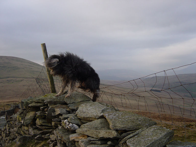
‘The Grand National’ on The Pike summit.
Height: 370 metres / 1214 feet Grid reference: SD 18639 93401 Category: The Outlying Fells
The Pike
‘The Grand National’ on The Pike summit.
Start point: Hole House (SD 181 930)
Hole House – Hesk Fell – The Pike – Hole House
Distance: 3 miles Total Ascent: 300 metres Time Taken: 1 hour 30 minutes
Weather: Rain. 12oC.
It was sunny and warm when I left the car this afternoon for a short walk up to Hesk Fell – that changed within 200 yards to heavy rain, which lasted for virtually the rest of the walk – so that meant we got a real soaking! A good walk for Casper’s steep learning curve to become a fell walking maestro this one – we encountered a stream crossing (not good, but he’ll learn), fences (not good, but he’ll learn), a ladder stile (you’ve guessed it) and sheep (okay on this one, thankfully!).


The Pike.

Hesk Fell. Note the old reservoir in the foreground, immediately above on the slopes of Hesk Fell are the remains of old copper mine workings.

Angus and Casper on the summit of Hesk Fell.

Wet Angus.

Heading for The Pike.

Looking back to Hesk Fell from The Pike.

Angus and Casper survey the Duddon Valley. To the left of Angus is Caw, to the right is Stickle Pike.

The Duddon Valley and the Coniston fells.

Stickle Pike.

Whitfell.

Looking across Holehouse Gill to the route used in ascent, the old reservoir visible.
Start point: Woodend Bridge on the Birker Fell road. (SD 179 963)
Woodend Bridge, Birker Fell road – Hesk Fell (OF) – The Pike (OF) – Woodend Bridge, Birker Fell road
Distance: 4.5 miles Total Ascent: 392 metres Time Taken: 1 hour 30 minutes
Weather: Hazy and overcast, 11oC.
Now that is BST, I had a late evening walk up to Hesk Fell, which is a featureless pudding basin between the Duddon and Esk valleys, and then to The Pike which is more interesting due to the views of the Duddon Valley lying steeply below.
This walk is the one described in Wainwright’s Hesk Fell chapter in his book ‘The Outlying Fells of Lakeland’, page 140 with the addition of lots of electric fences!

Hesk Fell route map.

Elevation profile of the route.

3D image of the walk route.

Green Crag and Harter Fell from the ascent of Hesk Fell.

Devoke Water.

Black Combe, Buck Barrow and Whitfell from Hesk Fell summit.

The Pike.

Looking back to Hesk Fell from The Pike.

'The Grand National' on The Pike summit.

Looking along the Duddon Valley to the Duddon Estuary from The Pike.

A few fells that have been mentioned in recent walks.

Caw and Stickle Pike along Crosby Gill.

Woodend Bridge, the Scafells in the distance.
Start point: Hole House (SD 181 930)
Hole House – The Pike (9) – Hesk Fell (10) – Seat How (Birker Moor) (11) – Rough Crag (Birker Moor) (12) – Water Crag (13) – The Knott on Stainton Fell (14) – White Pike on Birkby Fell (15) – Woodend Height (16) – Yoadcastle (17) – Stainton Pike (18) – Whitfell (19) – Burn Moor (20) – Kinmont Buck Barrow (21) – Great Paddy Crag (22) – Buck Barrow (23) – Plough Fell (24) – Bigert (25) – Hole House
Weather: Dull and overcast with hill fog and sunny spells.


The Pike...

and Hesk Fell summit.

'The detour to The Pike' - AW 'The Outlying Fells of Lakeland' page 141.

Whin Rigg, Illgill Head and The Scafell range from Seat How.

Devoke Water from Seat How.

The summits of Rough Crag....

and Water Crag - AW 'The Outlying Fells of Lakeland' page 146.

Two views of Linbeck Gill, Devoke Water outfall..

Seat How behind and Caw in the distance.

Stainton Pike from The Knott - 'Seen from The Knott, Stainton Pike assumes the pyramidal shape of Bowfell..'. AW

The impressive cairn on White Pike

Stainton Pike summit.

The summit of Woodend Height

Yoadcastle.

Holehouse Tarn.

Stainton Pike, White Pike, Woodend Height and Yoadcastle from the ascent of Whitfell. Holehouse Tarn is in the foreground.

The Duddon Estuary from the summit of Whitfell.

The summit of Burn Moor looking south to Buck Barrow and Kinmont Buck Barrow.

Overlooking the Duddon Estuary from Kinmont Buck Barrow summit

Great Paddy Crag summit.

Kinmont Buck Barrow from Buck Barrow summit

The first time I have ever seen cows on a summit, on Bigert!

The sun shines! The Coniston range from Plough Fell summit - Grey Friar and Swirl How to the left of the dip, then Brim Fell, Dow Crag, Coniston Old Man, Buck Pike and Brown Pike.

Another view from Plough Fell summit, The Scafells to the left, Esk Pike and Bowfell in the centre with the Crinkle Crags and Harter Fell to the right.

The Pike from the descent of Bigert.