Height: 784 metres / 2572 feet Grid reference: NY 43154 10039 Category: The Far Eastern Fells
sometimes referred to as Thornthwaite Beacon, instantly recognisable by the large summit column.
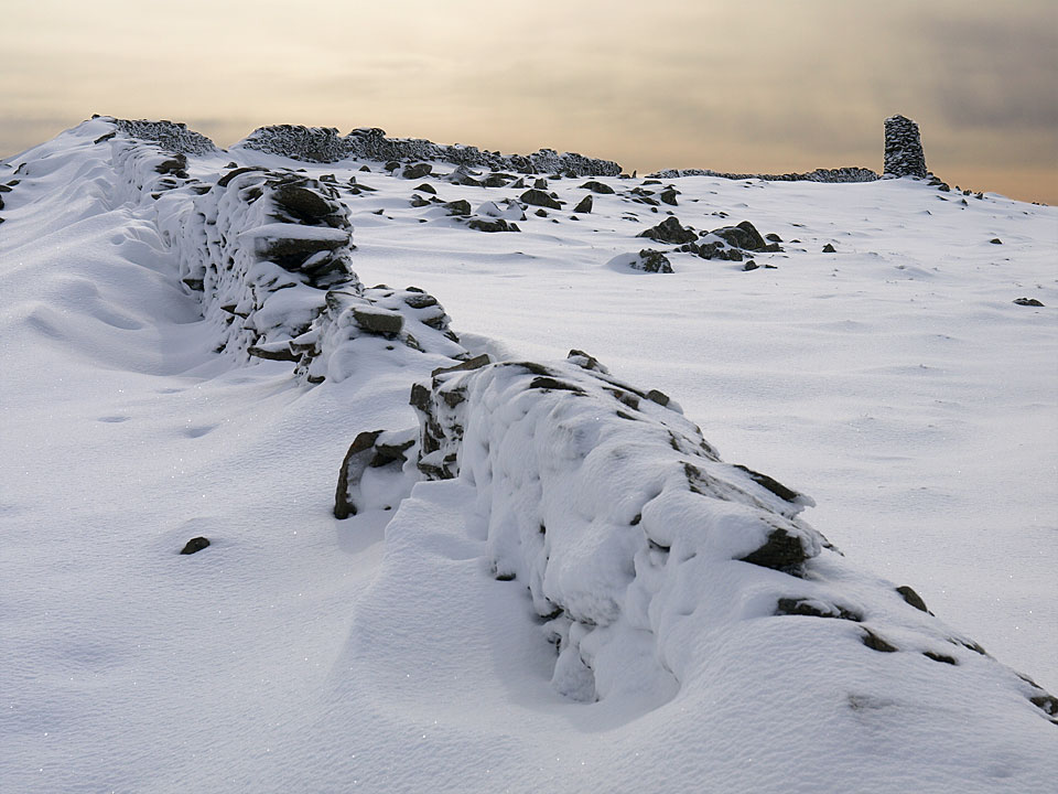
Just beautiful on Thornthwaite Crag.
Thornthwaite Beacon
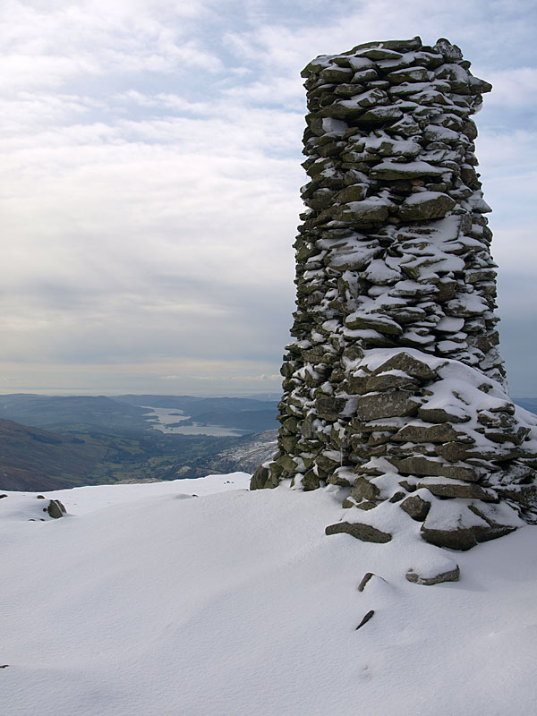
Windermere from Thornthwaite Beacon
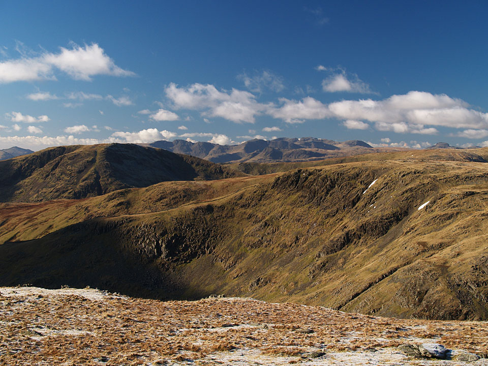
Looking south-west from Thornthwaite Crag with Bow Fell distant centre


