Striding Edge

A photo diary of Lake District fell walks

  • Walks
  • Fells
    • Wainwrights
      • Eastern Fells
      • Far Eastern Fells
      • Central Fells
      • Southern Fells
      • Northern Fells
      • North Western Fells
      • Western Fells
      • Outlying Fells
    • Birketts
  • Dogs
  • Love The Lakes
  • Contact

Wansfell

Height: 487 metres / 1598 feet Grid reference: NY 40370 05267 Category: The Far Eastern Fells
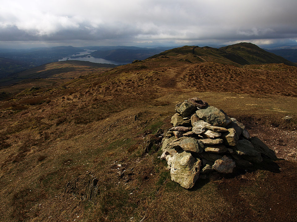
Windermere and Wansfell Pike from Wansfell
Windermere and Wansfell Pike from Wansfell

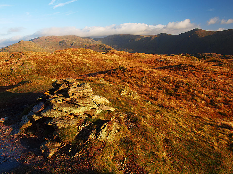
The far eastern fells from Wansfell

The far eastern fells from Wansfell

Wansfell

Walked on 10/12/2012

Start point: Troutbeck (NY 409 032)

Troutbeck – Nanny Lane – The Hundreds – Wansfell – Wansfell Pike – Nanny Lane – Troutbeck

Distance: 3.7 miles     Total Ascent: 350 metres     Time Taken: 1 hour 30 minutes     Start Time: 09:50

Weather: Sunny with snow showers. 4ºC

More cold weather today and it was sunny around the fringes of the Lake District but many of the higher tops were shrouded in cloud; cloud that looked heavily snow laden. Even lowly Wansfell had a good few snow flurries blowing across whilst I was up there but in between there were some decent views.

OLYMPUS DIGITAL CAMERA

At the start of Nanny Lane.

OLYMPUS DIGITAL CAMERA

Ill Bell across the fields.

OLYMPUS DIGITAL CAMERA

Following the walls...

OLYMPUS DIGITAL CAMERA

...right to the end.

OLYMPUS DIGITAL CAMERA

Sunshine and snow clouds.

OLYMPUS DIGITAL CAMERA

On the summit of Wansfell.

OLYMPUS DIGITAL CAMERA

Windermere and Wansfell.

OLYMPUS DIGITAL CAMERA

Caught in the sun - Dougal and Casper.

OLYMPUS DIGITAL CAMERA

It's behind you! A snow storm blowing in.

OLYMPUS DIGITAL CAMERA

Looking across Ambleside....all was good until I realised I had dropped a glove so made a return to Wansfell summit. Luckily it hadn't blown away, so not too bad.

OLYMPUS DIGITAL CAMERA

Wansfell Pike ahead.

OLYMPUS DIGITAL CAMERA

Kirkstone Pass.

OLYMPUS DIGITAL CAMERA

Looking back to Wansfell.

OLYMPUS DIGITAL CAMERA

Across Ambleside, Loughrigg and Lingmoor to Crinkle Crags, Bowfell and the Langdale Pikes.

OLYMPUS DIGITAL CAMERA

A panoramic view from Wansfell Pike. Select on the image to see a larger version.

OLYMPUS DIGITAL CAMERA

Close up on Bowfell and The Langdales.

OLYMPUS DIGITAL CAMERA

Crinkle Crags and Bowfell.

OLYMPUS DIGITAL CAMERA

Mono Windermere in the bright sunshine.

OLYMPUS DIGITAL CAMERA

Heading back to Troutbeck.

Wansfell

Walked on 07/12/2011

Start point: Troutbeck (NY 409 032)

Troutbeck – Nanny Lane – The Hundreds – Wansfell – Wansfell Pike – Nanny Lane – Troutbeck

Distance: 3.7 miles     Total Ascent: 350 metres     Time Taken: 1 hour 20 minutes     Start Time: 09:45

Weather: Strong winds and snow. 2ºC

It took me a while to decide where to walk this morning, I visited Coniston and Langdale before deciding to have a look to the east where it all seemed much brighter. After struggling up The Struggle in full winter conditions and with the snow still falling heavily, I decided to head back down the Kirkstone Pass before it became impassable…
Wansfell

Wansfell route map.

OLYMPUS DIGITAL CAMERA

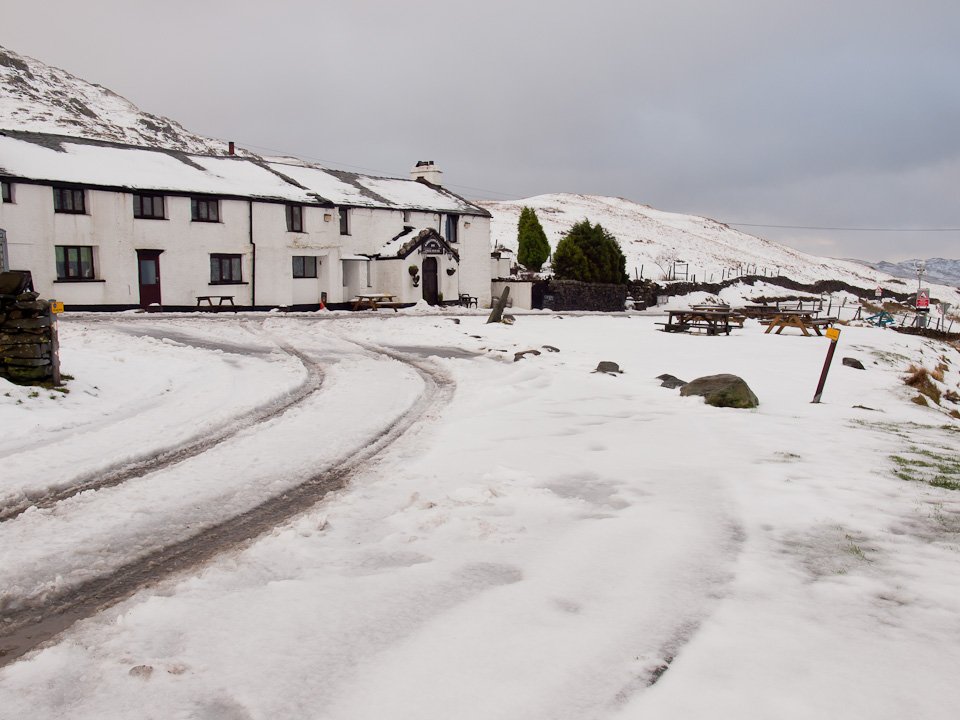
The Kirkstone Pass Inn. On with the walk, Wansfell looked clear and as it is of relatively modest height it seemed like a decent bet...
OLYMPUS DIGITAL CAMERA

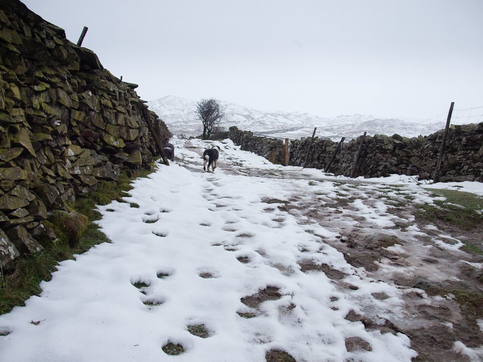
...until I set off when it started snowing heavily once more.

OLYMPUS DIGITAL CAMERA

It was also very windy along here, I sheltered behind the wall to take this photo and was on the verge of turning back but decided to plod on hoping the wind would blow away the snow clouds.

OLYMPUS DIGITAL CAMERA

Nanny Lane.

OLYMPUS DIGITAL CAMERA

The first glimmer of brightness and the Ill Bell ridge comes into view.

OLYMPUS DIGITAL CAMERA

Peeping over the snowy wall to get a view of Sallows.

OLYMPUS DIGITAL CAMERA

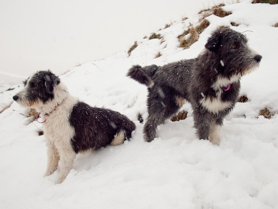
Casper, the snow monster. Those two dogs are like spring lambs once they are in the snow, rolling around and chasing each other and generally enjoying themselves.
OLYMPUS DIGITAL CAMERA

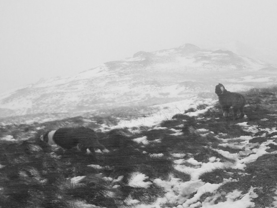
'You go that-away and I'll go this-away'. Once we climbed up onto the summit of Wansfell the wind was really strong...
PC078027

...aaaghh! Hold on tight boys!

OLYMPUS DIGITAL CAMERA

Bleak midwinter on the Wansfell ridge - the snow was horizontal along here. Surprisingly, I didn't see anyone today!

OLYMPUS DIGITAL CAMERA

Following the wall to Wansfell Pike.

OLYMPUS DIGITAL CAMERA

A sudden clearing in the clouds and Ambleside and Rydal Water come into view below.

OLYMPUS DIGITAL CAMERA

Wetherlam beyond Wansfell Pike.

OLYMPUS DIGITAL CAMERA

Crossing the wall.

OLYMPUS DIGITAL CAMERA

Windermere with the back of the snow showers being blown down the water.

OLYMPUS DIGITAL CAMERA

A little bit of sunshine at the southern end of Windermere.

OLYMPUS DIGITAL CAMERA

Clearing to the north, Kirkstone Pass is distant left of centre.

OLYMPUS DIGITAL CAMERA

Wow, the briefest of brief clearings reveals the full length of Windermere from Wansfell Pike.

OLYMPUS DIGITAL CAMERA

Looking back to Wansfell, Ill Bell beyond.

OLYMPUS DIGITAL CAMERA

Another brief parting of the clouds and Red Screes becomes visible.

OLYMPUS DIGITAL CAMERA

Sunburst over Windermere. As soon as I left the summit of Wansfell Pike the snow came back with a vengeance and all views were once more obliterated.

OLYMPUS DIGITAL CAMERA

On the decent of Nanny Lane.

Wansfell

Walked on 19/01/2011

Start point: Troutbeck (NY 409 032)

Troutbeck – Nanny Lane – Wansfell Pike – Wansfell – Baystones – The Hundreds – Nanny Lane – Troutbeck

Distance: 4 miles    Total Ascent: 345 metres     Time Taken: 1 hour 30 minutes     Start Time: 08:35

Weather: Cool and clear. 2°C

I think Wansfell was a good choice this morning as it was clear over there whereas some of the higher fells to the north and east seemed to be under a good bit of cloud. There was a great inversion over Windermere and Ambleside and there were good views of it from up there and a lovely sunrise to boot!
Wansfell

Wansfell route map.

19.01.11-001

Troutbeck.

19.01.11-010

The sun rising over Sour Howes, looking back along Nanny Lane.

19.01.11-016

All aglow from higher up.

19.01.11-024

The Ill Bell ridge across Troutbeck Park.

19.01.11-028

Casper and Dougal on a mission heading along Nanny Lane.

19.01.11-036

Looking back once more to a beautiful sunrise over mist filled valleys.

19.01.11-044

The Hundreds.

19.01.11-049

Dod Hill.

19.01.11-054

The climb to Wansfell.

19.01.11-070

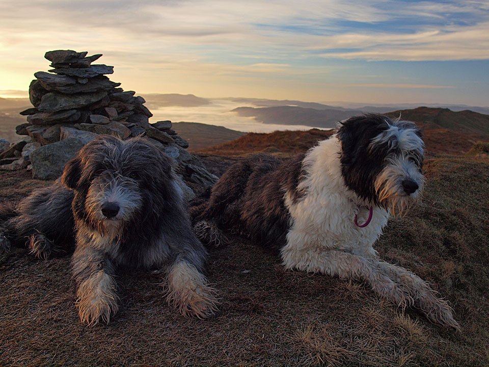
Suddenly as we climbed to Wansfell the sun disappeared behind a heavy blanket of cloud and things became a lot duller for Dougal and Casper on the frozen (Wainwright) summit of Wansfell.
19.01.11-074

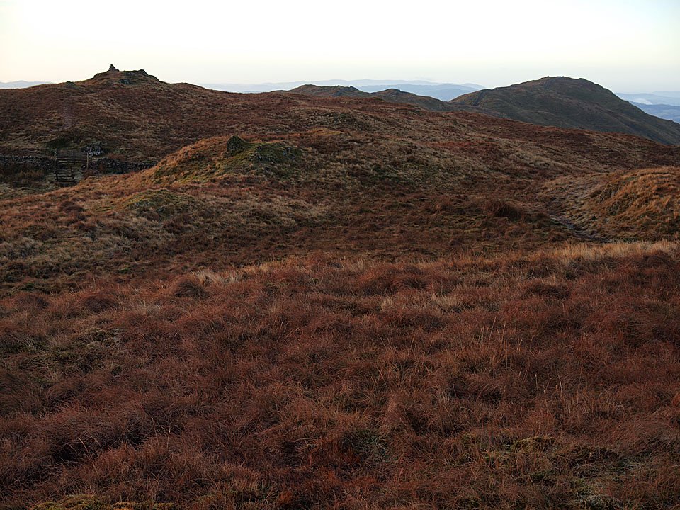
Across the wall is the highest point on Wansfell called Baystones, the Birkett summit of Wansfell - here looking towards Wansfell and Wansfell Pike.

19.01.11-084

Back to the generally accepted summit before heading to Wansfell Pike.

19.01.11-090

Looking back along the wall to Wansfell, Caudale Moor beyond.

19.01.11-123

Shortly before climbing to the summit of Wansfell Pike the sun came out again.

19.01.11-130

There was a lovely inversion over a very still Windermere today looking from Wansfell Pike.

19.01.11-139

Misty Windermere.

19.01.11-151

Bowness and the southern reaches of Windermere are under there somewhere.

19.01.11-152

The Coniston fells.

19.01.11-165

Ambleside church spire reaching out through the mist.

19.01.11-168

Dougal checks out 'The Isle of Loughrigg'.

19.01.11-170_stitch

A panoramic view from Wansfell Pike.

19.01.11-176

Fairfield and Red Screes across Stock Ghyll.

19.01.11-177

The Wansfell ridge.

19.01.11-185

What a stunning view from Wansfell Pike today.

19.01.11-186

The valleys are under mist to the east as well.

19.01.11-188

Looking back to Wansfell Pike heading back to Nanny Lane.

19.01.11-192

Homeward bound. Back down at Bowness...

19.01.11-203

Wansfell, left and the Ill Bell ridge to the right from the very edge of the inversion on Queen Adelaide's Hill.

19.01.11-213

Misty jetty at Miller Ground.

19.01.11-218

Trees reflected.

Wansfell

Walked on 20/09/2010

Start point: Troutbeck (NY 409 032)

Troutbeck – Nanny Lane – The Hundreds – Wansfell – Wansfell Pike – Nanny Lane – Troutbeck

Distance: 3.7 miles     Total Ascent: 350 metres     Time Taken: 1 hour 20 minutes     Start Time: 09:15

Weather: Showers. 14C

Once more everywhere looked pretty grim this morning but sheltered Wansfell looked a fair bet for a dry – if soggy underfoot – walk. Of course we were caught in the odd shower or two and there was no one around anywhere whilst we were up there. Great walk though, I like it up there.


Wansfell

Wansfell route map.

20.09.004

Damp over the Troutbeck rooftops.

20.09.011

Looking back along Nanny Lane from the climb towards Sour Howes and Applethwaite Common.

20.09.017

The boys (having gone ahead) return to see where I am.

20.09.024

Dougal checks out the route of return - we are continuing along the walled track.

20.09.031

The Hundreds looking to Thornthwaite Crag, Froswick and Ill Bell.

20.09.034

Sallows from the final climb to Wansfell.

20.09.043

The summit of Wansfell looking towards Caudale Moor and Park Fell Head.

20.09.062

Damp Dougal and Casper on Wansfell with Wansfell Pike beyond.

Panorama1

Rain, rain everywhere looking west.

20.09.080

Heading for Wansfell Pike.

20.09.084

Looking back to Wansfell along the ridge.

20.09.088

...and again...

20.09.091

...and the other way.

20.09.092

Red Screes.

20.09.101

It's raining on Wansfell Pike.

20.09.107

Windermere from the descent.

20.09.109

Casper didn't think he was quite wet enough after the walk so he had a lie down in this beck running through Troutbeck.

Wansfell

Walked on 10/12/2009

Start point: Troutbeck (NY 409 032)

Troutbeck – Nanny Lane – Wansfell Pike – Wansfell – Baystones – The Hundreds – Nanny Lane – Troutbeck

Distance: 4 miles    Total Ascent: 345 metres     Time Taken: 1 hour 30 minutes

Weather: Cool and clear. 4ºC

As I headed towards Bowness alongside Windermere I could see the mist was hanging over the lake as so often happens on these cooler mornings and Coniston was similarly attired under mist too when I passed it earlier. I headed up to Wansfell under glorious sunshine for a great view of the lake and wasn’t disappointed – it was beautiful up there this morning, very quiet and tranquil.

Wansfell

Wansfell route map.

10.12.09-004

Troutbeck sunrise.

10.12.09-008

Nanny Lane has a lovely golden hue in the rising sun this morning.

10.12.09-019

The Hundreds - I turned off here to head up to Wansfell Pike but the route of return was along this lane.

10.12.09-021

Looking back along a gloriously sunny Nanny Lane.

10.12.09-024

This is the way for us today.

10.12.09-026

First glimpse of Windermere under the mist.

10.12.09-030

These two seem to be in a hurry to make it to the top.

10.12.09-035

Windermere inversion.

10.12.09-036

Bowness is under there somewhere, to the distant right is Gummer's How.

10.12.09-046

The western banks of Windermere.

10.12.09-048

Trees float in a sea of fog.

10.12.09-050

All was quiet, tranquil and calm this morning.

10.12.09-056

Looking along Little Langdale, also has low lying mist along the River Brathay and there is a big plug of cloud over Wrynose Pass.

10.12.09-068

The stunning view from Wansfell Pike.

10.12.09-075

A magnificent panorama across to the Coniston fells to the Langdale Pikes.

10.12.09-080

Red Screes and Caudale Moor.

10.12.09-083

I could sit here all day if it would last.

10.12.09-085

'What are you doing?' wonders Dougal.

10.12.09-091

Wansfell Pike summit.

10.12.09-096

The wall heading to Wansfell.

10.12.09-097

Looking back to Wansfell Pike from the walk along the ridge.

10.12.09-104

Following the great wall of Wansfell...

10.12.09-107

...and back again.

10.12.09-109

The path to Wansfell, the cairn visible towards the top left.

10.12.09-113

Wansfell Pike from Wansfell.

10.12.09-122

Casper and Dougal looking golden in the early sunshine.

10.12.09-128

The far eastern fells from Wansfell.

10.12.09-134

Thornthwaite Crag, Froswick and Ill Bell from Baystones - over the wall from Wansfell.

10.12.09-151

Belle Isle puts in an appearance through the mist.

10.12.09-156

A plaque on the wall from Wansfell - a good job done too.

10.12.09-167

Yoke, Ill Bell and Froswick from Nanny Lane.

10.12.09-169

Troutbeck. Meanwhile, the mist was still hanging over Windermere back down in Bowness...

10.12.09-172

Bowness from Queen Adelaide's Hill.

10.12.09-176

Looking across Windermere to Claife Heights.

10.12.09-179

Beautiful across Meregarth to the Fairfield fells.

10.12.09-183

Crinkle Crags, Bowfell and the Langdale Pikes reflected in Windermere.

10.12.09-184

Queen Adelaide's Hill.

10.12.09-185

Windermere from Biskey Howe.

Wansfell

Walked on 27/02/2009

Start point: Troutbeck (NY 409 032)

Troutbeck – Nanny Lane – The Hundreds – Wansfell – Wansfell Pike – Nanny Lane – Troutbeck

Distance: 3.7 miles     Total Ascent: 350 metres     Time Taken: 1 hour 45 minutes

Weather: Clearing with the odd shower. 8°C.

I ended up in a similar area to the walk I did earlier in the week, starting from Troutbeck up to Wansfell. It is a good little walk this and the views from lowly Wansfell are good. The weather turned out much better than I expected as it was raining with a really low cloud base at home – even Gummer’s How was not visible today when I went past. I know someone who wasn’t bothered what the weather did today though…
IMG_0035

27.02.09-003

Over the rooftops of Troutbeck to Sour Howes.

27.02.09-006

The view to Sour Howes from further along Nanny Lane.

27.02.09-016

Walking along Nanny Lane. I followed the walled section to the end, up to the right.

27.02.09-025

Casper seems to be enjoying the muddy section!

27.02.09-049

The cloud is lifting on the Ill Bell ridge beyond Dod Hill from The Hundreds.

27.02.09-076

Up onto Baystones, the summit of Wansfell and the rain has started - not that Casper seems to mind.

27.02.09-082

Caudale Moor and Thornthwaite Crag through the clearing drizzle from Wansfell.

27.02.09-084

Heading for Wansfell Pike.

27.02.09-086

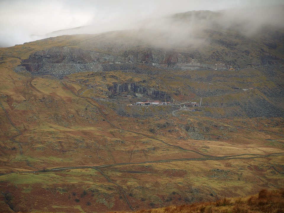
Pets Quarry on the slopes of Red Screes. The Kirkstone quarry slate is world renowned and the Kirkstone Green slate when polished is really beautiful, very tactile and organic. For the last month or so I have been using a piece as a mouse mat and it is absolutely fantastic, so good that I have had some made, inscribed with the StridingEdge.net logo. If you would like more details on how to get one and have a little piece of the Lake District at your fingertips, please let me know.
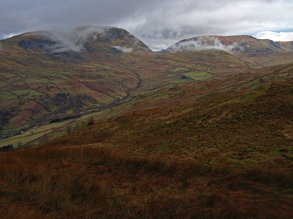
27.02.09-090

A squelchy walk across to Wansfell Pike.

27.02.09-091

Wetherlam, left, clearing of cloud a little.

27.02.09-096

Rydal Water and the Langdale Pikes.

27.02.09-098

Red Screes.

27.02.09-102

Wansfell along the wall from the walk to Wansfell Pike.

27.02.09-105

Casper leading the way to Wansfell Pike.

27.02.09-110

Looking along Stock Ghyll to the Kirkstone Pass which lies in the depression between Red Screes and Caudale Moor.

27.02.09-112

A great view of Windermere from Wansfell Pike.

27.02.09-159

The view across Ambleside to Loughrigg Fell and the Langdales beyond.

Wansfell_small

A panoramic view from Wansfell Pike. Select on the image to see a larger version.

27.02.09-164

A brief spell of brightness and lifting cloud once more on the far eastern fells.

27.02.09-167

Close up on Bowness and Bowness Bay.

27.02.09-170

Caudale Moor. To the left is the Kirkstone Pass road and the Kirkstone Pass Inn with one of the Angletarn Pikes in view.

27.02.09-181

Casper lords it over Windermere.

27.02.09-183

The descent back to Troutbeck.


Wansfell

Walked on 03/04/2008

Start point: Troutbeck (NY 409 032)

Troutbeck – Nanny Lane – The Hundreds – Wansfell – Wansfell Pike – Nanny Lane – Troutbeck

Distance: 3.7 miles     Total Ascent: 350 metres     Time Taken: 1 hour 45 minutes

Weather: Warm, sunny spells. 15oC.

Everywhere seemed to be in cloud this morning but standing out from the rest like a golden beacon stood Wansfell, bathed in sunshine. That was good enough for me; it is a pretty quick walk to the top from Troutbeck and the views are quite extensive from here.
Wansfell.jpg

03.04.08-006.jpg

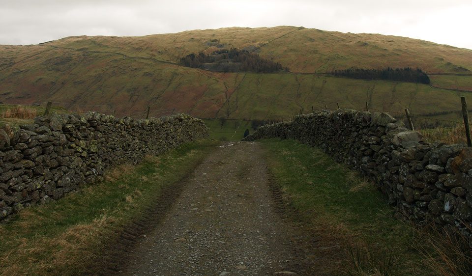
It was all looking a bit dull early on this morning, the only place that appeared to have any sun was the top of Wansfell. This view is looking back along Nanny Lane to Sour Howes across Troutbeck.
03.04.08-011.jpg

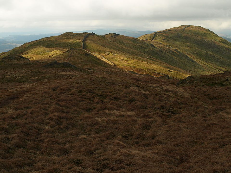
Following the lane across The Hundreds with the Wansfell ridge getting some sun.

03.04.08-014.jpg

looking back along the boggy lane with a first glimpse of Windermere.

03.04.08-023.jpg

Dod Hill. Beyond, the Yoke - ill Bell - Froswick ridge is covered in a thick blanket of cloud.

03.04.08-031.jpg

Red Screes and Broad End of St. Ravens Edge from the summit of Wansfell.

03.04.08-034.jpg

The central fells.

03.04.08-035.jpg

Windermere and Wansfell Pike from Wansfell.

03.04.08-039.jpg

Casper and Angus on the summit.

03.04.08-048.jpg

Casperoo.

03.04.08-056.jpg

The Langdale Pikes are covered in cloud, below is Rydal Water and a hint of Grasmere.

03.04.08-057.jpg

Looking to the west.

03.04.08-059.jpg

St. Raven's Edge.

03.04.08-061.jpg

Following the ridge alongside the wall to Wansfell Pike. Looks like there are one or two people up there today.

03.04.08-067.jpg

All the cloud seems to be emanating on the western side of Red Screes.

03.04.08-071.jpg

Looking back to Wansfell on the ridge to Wansfell Pike.

03.04.08-074.jpg

Kirkstone Pass is between Red Screes and Caudale Moor.

03.04.08-078.jpg

Windermere from Wansfell Pike.

03.04.08-081.jpg

Red Screes. The road running beneath it is The Struggle, the stream to the right is Stock Ghyll which runs through the centre of Ambleside further down.

03.04.08-086.jpg

03.04.08-087.jpg

The central fells over Ambleside.

03.04.08-099.jpg

Wansfell Pike from the descent.

03.04.08-102.jpg

Back to Nanny Lane, all is sunny now!

03.04.08-111.jpg

A host of golden Daffodils at Troutbeck Church.

03.04.08-118.jpg

Looking good in the sunshine.

03.04.08-122.jpg

The church.

03.04.08-127.jpg

A strange blanket of cloud over Wetherlam from Miller Howe on the way home.


Wansfell

Walked on 23/06/2006

Start point: Troutbeck (NY 409 032)

Troutbeck – Nanny Lane – The Hundreds – Wansfell – Wansfell Pike – Nanny Lane – Troutbeck

Distance: 4.3 miles     Total Ascent: 427 metres     Time Taken: 1 hour 45 minutes

Weather: Overcast with showers. 14ºC.

It was another overcast morning with plenty of showers to accompany us on a walk up to Wansfell and Wansfell Pike from Troutbeck. There is a great view along the length of Windermere from Wansfell and it is well worth a visit. Looking south, it was a lot brighter – here’s hoping some summer weather returns soon!

Wansfell

23.06.06-002

Sour Howes across the roofs of Troutbeck.

23.06.06-003

The old walled Nanny Lane across The Hundreds.

23.06.06-006

Looking back along Nanny Lane towards Windermere, just coming into view.

23.06.06-011

More of Windermere from the climb up to Wansfell.

23.06.06-016

Caudale Moor, Thornthwaite Crag, Froswick and Ill Bell.

23.06.06-012

The clouds sticking to Caudale Moor and Thornthwaite Crag.

23.06.06-019

Red Screes from Wansfell.

23.06.06-021

Windermere and Wansfell Pike from the summit of Wansfell.

23.06.06-022

Casper watches Angus running round and round, Red Screes behind.

23.06.06-031

Red Screes from the ridge to Wansfell Pike.

23.06.06-033

Looking north-west over Ambleside, the clouds closing in on the Langdales and beyond. Rydal Water is to the right.

23.06.06-036

Looking back towards Wansfell, Place Fell in view through the gap of Kirkstone Pass between Red Screes and Caudale Moor.

23.06.06-037

A full view of Windermere from Wansfell Pike.

23.06.06-042

A ghostly shot of the Langdales.

23.06.06-044

Looking down on Ambleside.

23.06.06-045

Kirkstone Pass.

23.06.06-048

Belle Isle and yachts on Windermere.

23.06.06-051

Pensive Casper.

23.06.06-055

A panoramic Windermere view.

23.06.06-057

The rain is coming in from Ambleside now.

23.06.06-059

...and from the north, so let's go!

23.06.06-060

Only when I'm ready!

Wansfell

Walked on 23/05/2005

Start point: Ambleside (NY 376 043)

Ambleside – Stockghyll Force – Wansfell Pike – Wansfell – Ambleside

Distance: 4.9 miles     Total Ascent: 554 metres     Time Taken: 1 hour 50 minutes

Weather: Miserable – no, worse – it was absolutely miserable. 10°C.

The morning started off sunny and bright, right until I reached Ambleside when the clouds came in and it wasn’t long before the heavens opened. That’s the way it stayed right through this walk, the highlight being Stockghyll Force; the rest of the walk saw no views. I think Angus was wishing for his hair back on top of Wansfell Pike as it was decidedly chilly. There was me thinking it would soon be summer when I had his hair cut..

Wansfell

Wansfell route map.

Wansfell - 23rd May 002

The weir and lower falls on Stock Ghyll.

Wansfell - 23rd May 003

Stockghyll Force.

Wansfell - 23rd May 006

...and again from further up.

Wansfell - 23rd May 010

A blustery, cold and wet Wansfell Pike summit.

Wansfell - 23rd May 013

The ridge from Wansfell Pike to Wansfell.

Wansfell - 23rd May 014

Wansfell summit.

Wansfell - panorama1

Loughrigg Fell in cloud over Ambleside.

Wansfell

Walked on 23/06/2004

Start point: Troutbeck (NY 409 032)

Troutbeck – Nanny Lane – Wansfell (77) – Wansfell Pike (78) – Nanny Lane – Troutbeck

Weather: Dull and overcast.

A short walk this morning to Wansfell and Wansfell Pike on a murky day, a complete contrast to yesterday. Wansfell overlooks Ambleside and gives fantastic views of Windermere.

The route starts at Troutbeck and follows a track known as Nanny Lane.
Wansfell

23rd June - Wansfell 001

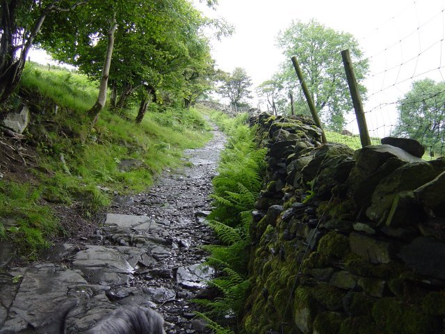
Nanny Lane at the beginning of the walk. Follow the walled lane as far as it goes - approximately a mile and a half.
23rd June - Wansfell 002

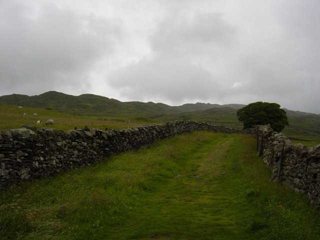
The Wansfell ridge from further up the lane. Over a stile and follow the right angle of the wall all the way to the cairned summit of Wansfell, on the right hand side of the wall.
23rd June - Wansfell 006

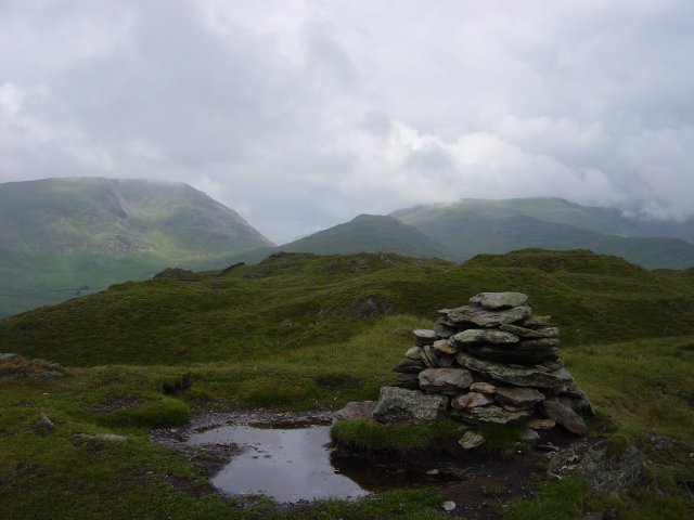
Wansfell Pike from Wansfell.

23rd June - Wansfell 007

Red Screes, Kirkstone Pass and Caudale Moor from the summit of Wansfell. Then it's a south-westerly traverse over grassy hummocks to Wansfell Pike.

23rd June - Wansfell 011

Windermere from the summit of Wansfell Pike.

23rd June - Wansfell 015

The Fairfield horseshoe from Wansfell Pike. Then its back down the prominent path back to Nanny Lane and Troutbeck.

23rd June - Wansfell 021

Yoke, Ill Bell and Froswick from Nanny Lane.

Troutbeck

Walked on 12/01/2004

Troutbeck Church – The Howe – Sour Howes (162) – Sallows (163) – Hagg Gill –  Troutbeck Park- Troutbeck Tongue (164) – Ing – Town Head – Troutbeck – Nanny Lane – Wansfell (165) – Nanny Lane – Troutbeck – Troutbeck Church

A fine day with some low lying cloud.

Troutbeck

Dsc01756

Troutbeck Tongue in the sunshine, Yoke in the clouds.

Sour Howes

Sour Howes summit, Windermere behind.

Dsc01768

Windermere from Sallows with Sour Howes in the foreground.

Sallows

The summit mound of Sallows looking East to Longsleddale.

Dsc01772

Wansfell from Sallows.

Dsc01770

Mines a.. - set in stone off the Garburn Road

Dsc01773

Waterfall on the descent of Sallows.

Dsc01776

Looking up Hagg Gill and the High Street Roman Road, Caudale Moor on the left, Thornthwaite on the right.

Dsc01781

Looking over to Heron Pike and High Pike from Troutbeck Tongue.

Troutbeck Tongue

Thornthwaite Crag, Froswick and Ill Bell from Troutbeck Tongue summit.

Dsc01786

Caudale Moor behind Troutbeck Tongue and on the right, Thornthwaite, Froswick, Ill Bell and Yoke from Ing Lane.

Dsc01788

Sallows on the left and Sour Howes on the right from the ascent of Wansfell.

Wansfell

Thornthwaite, Froswick, Ill Bell and Yoke from Wansfell summit.

Dsc01795

Windermere from Wansfell, as Wainwright's drawing.

Dsc01804

Troutbeck Church.

Walking Diary

  • The Mosedale Horseshoe 01/03/2022
  • Caw 18/01/2022
  • Coniston sunset 17/01/2022
  • Blencathra 15/01/2022
  • Scafell Pike 14/01/2022

Social

  • Facebook
  • Twitter

Information

  • Striding Edge
  • T&C’s
  • Privacy
  • Links