Striding Edge

A photo diary of Lake District fell walks

  • Walks
  • Fells
    • Wainwrights
      • Eastern Fells
      • Far Eastern Fells
      • Central Fells
      • Southern Fells
      • Northern Fells
      • North Western Fells
      • Western Fells
      • Outlying Fells
    • Birketts
  • Dogs
  • Love The Lakes
  • Contact

Blawith Fells

Walked on 15/11/2010

Start point: Woodland Fell road (SD 256 879)

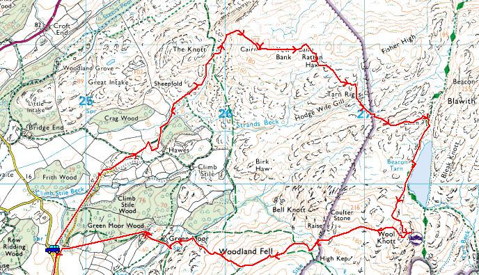
Woodland Fell Road – Blawith Knott (OF) – Angus Tarn – Tottlebank Height (OF) -Round Haw – Wool Knott (OF) – Slatestone Fell – Tottlebank Height (OF) – Woodland Fell Road

Distance: 4.7 miles     Total Ascent: 417 metres     Time Taken: 2 hours    Start Time: 09:25

Weather: Cold and changeable with showers. 2C

The weather was completely odd in the south west Lakes this morning – when I set off it was cold and clear with an inversion over Coniston Water but I was soon overtaken by higher level cloud which was constantly clearing then dropping down again. At one point it started raining as well and you couldn’t tell what it would be like from one minute to the next. It was good to get out on a walk today though – it is Casper’s 7th birthday today, so Happy Birthday to him!
 

Blawith

Blawith route map.

15.11.10-003

All looks nice and sunny on Blawith Knott at the start of the walk...

15.11.10-004

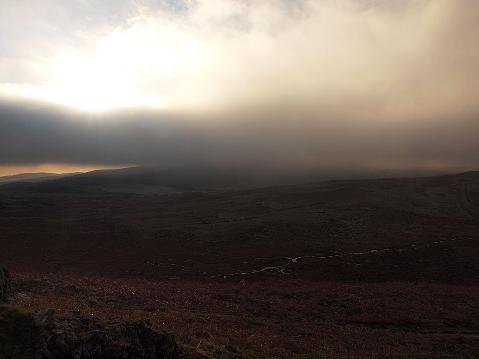
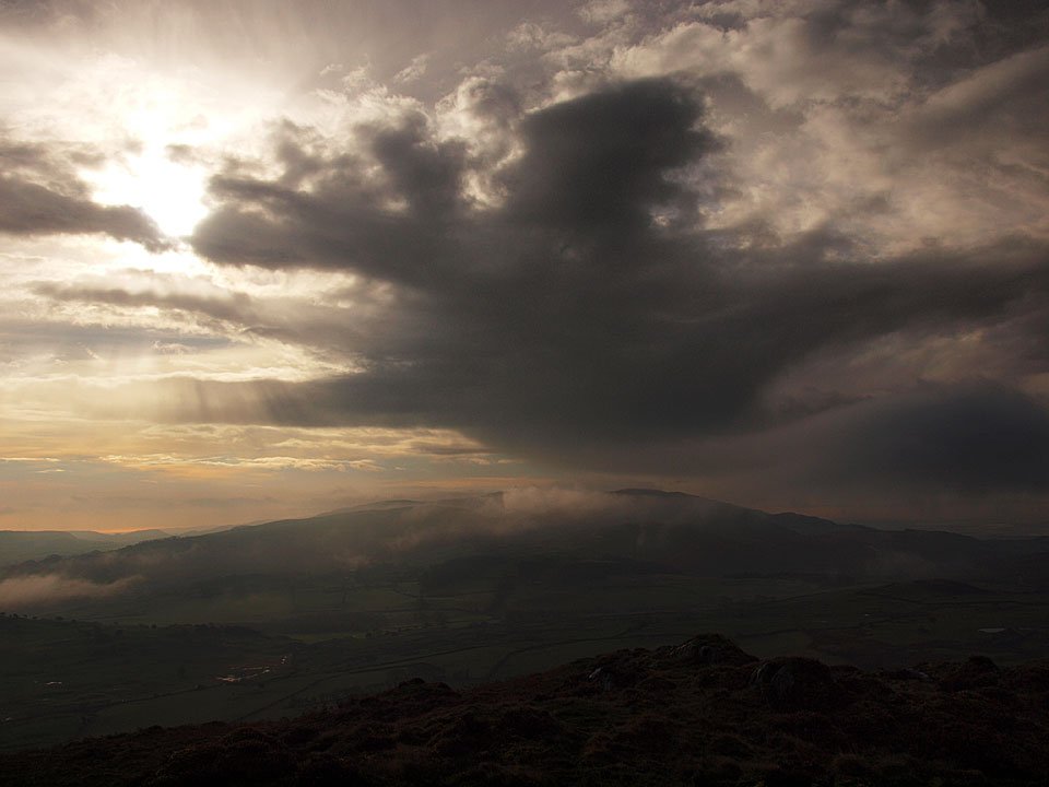
...but, looking the other way - look what's coming right for us across Kirkby Moor!

15.11.10-007

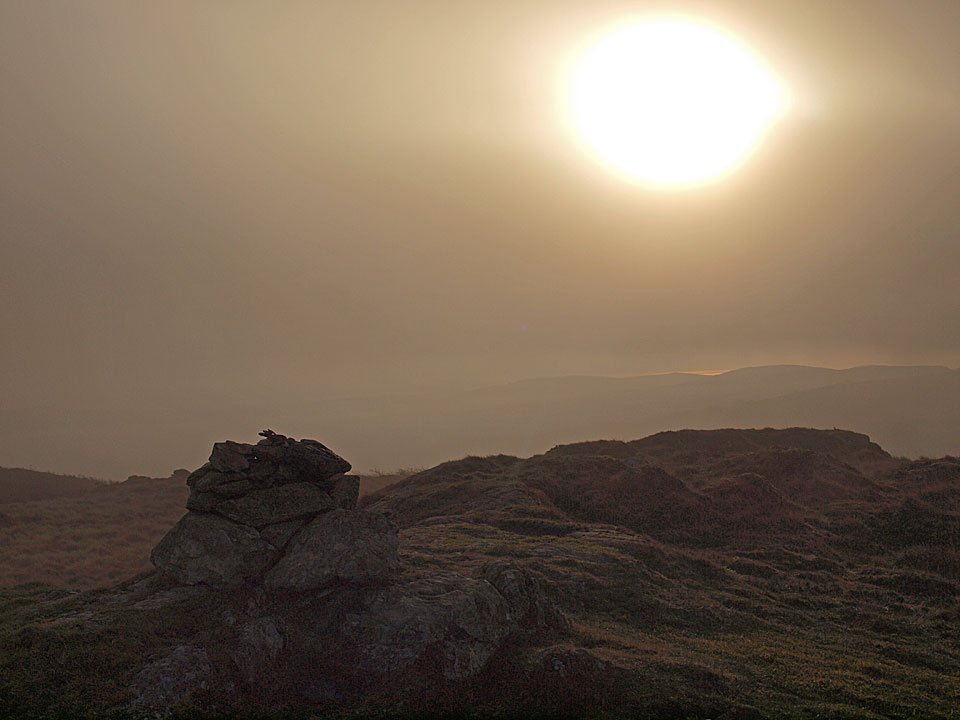
On the summit of an eerie Blawith Knott.

15.11.10-014

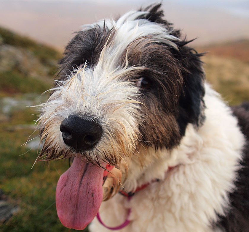
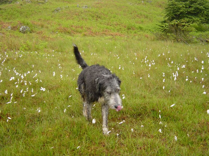
I don't know what you have been licking (ugh!) but Happy Birthday Casper, 7 today!

15.11.10-016

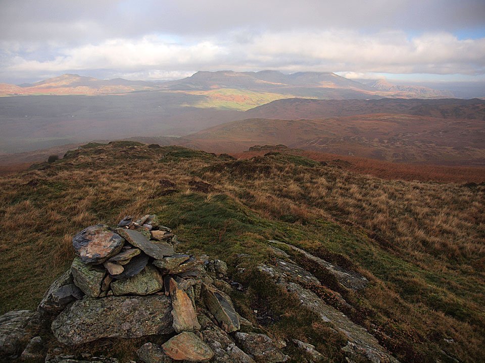
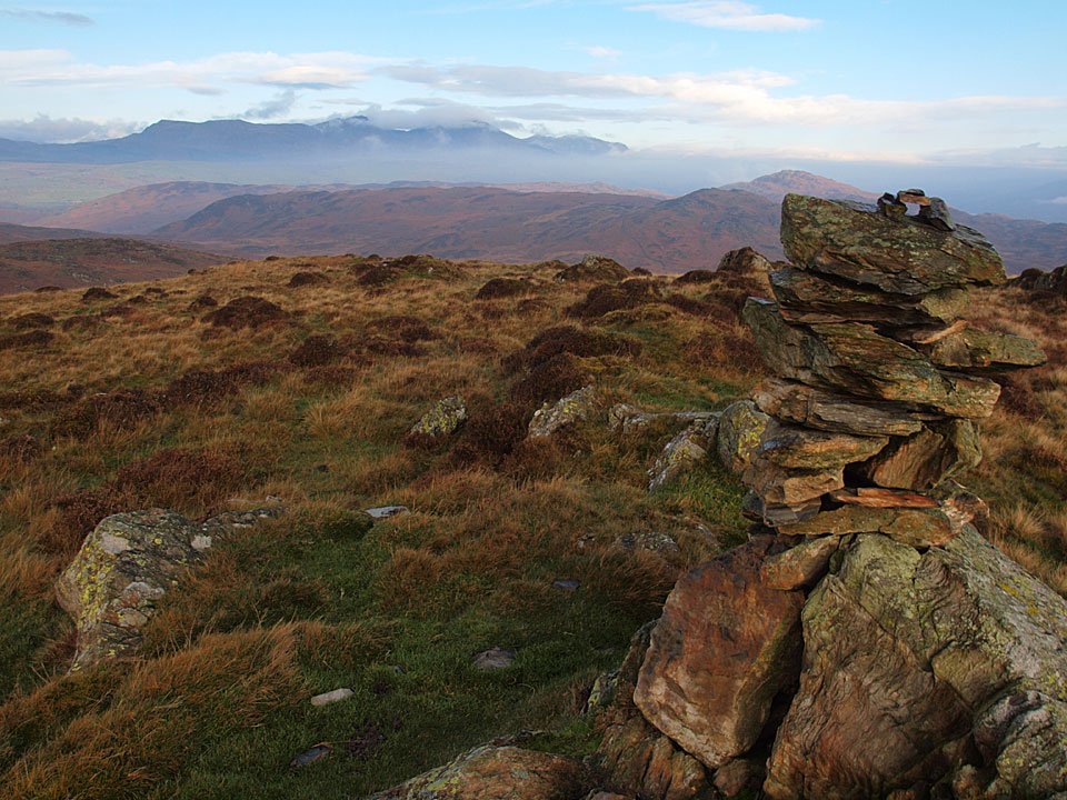
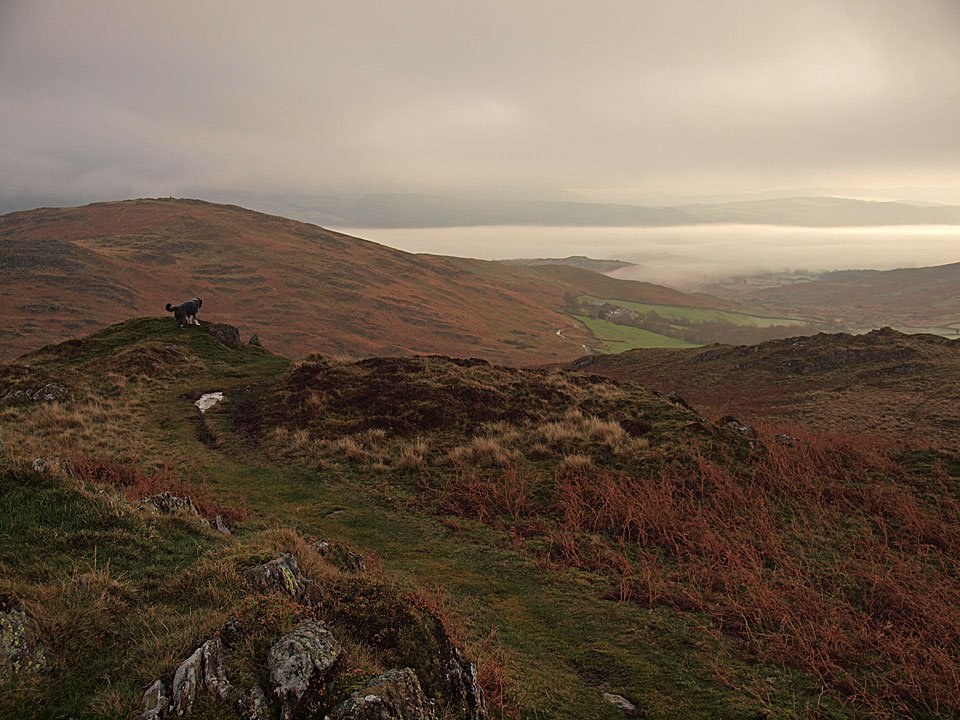
A glimpse of the Coniston Fells.

15.11.10-018

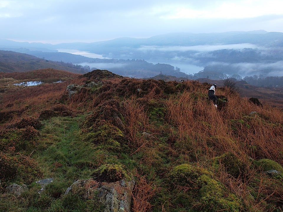
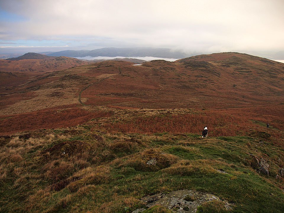
Dougal heads for Tottlebank Height. Beyond, there is a temperature inversion over Coniston Water and the Crake Valley.
15.11.10-025

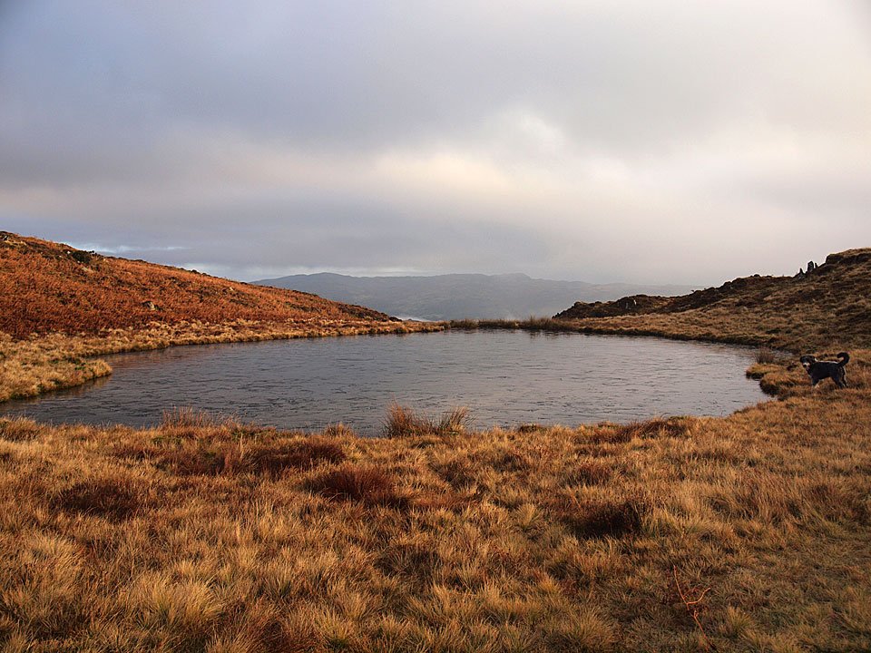
Beacon Fell left, Angus Tarn centre and Tottlebank Height on the right with the Coniston Water inversion visible along its length.
15.11.10-027

Angus Tarn is frozen today Dougal!

15.11.10-030

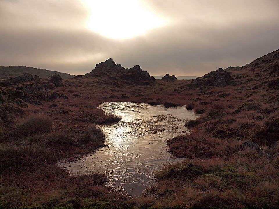
A frozen pool on the way to Tottlebank Height.

15.11.10-031

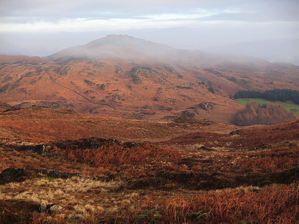
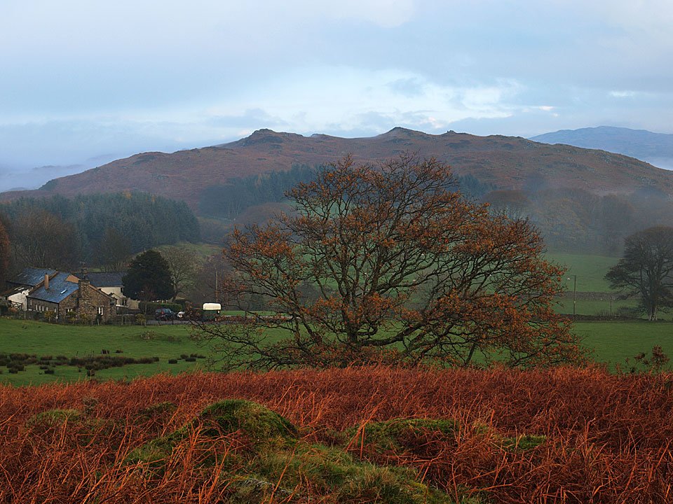
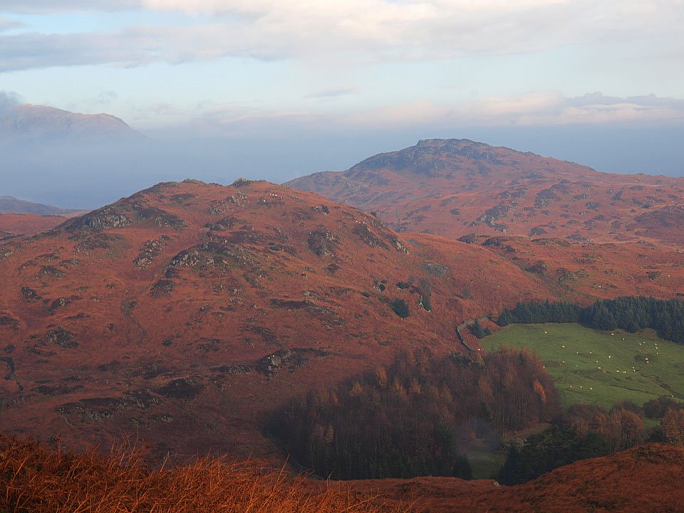
Wool Knott and Beacon Fell.

15.11.10-039

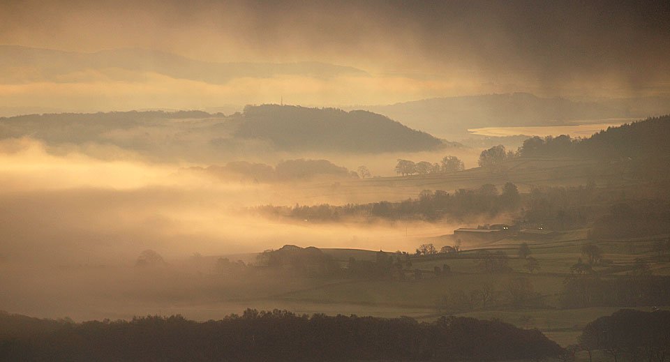
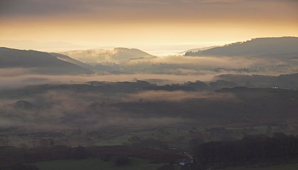
Inversion in the Crake Valley.

15.11.10-053

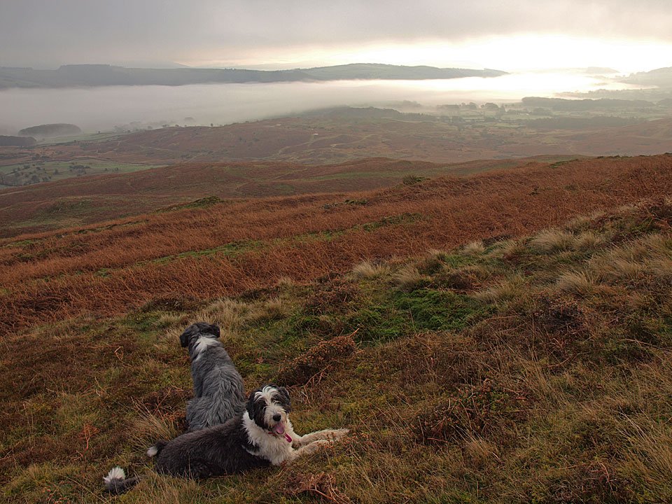
Casper and Dougal don't know what to make of the strange light.

15.11.10-071

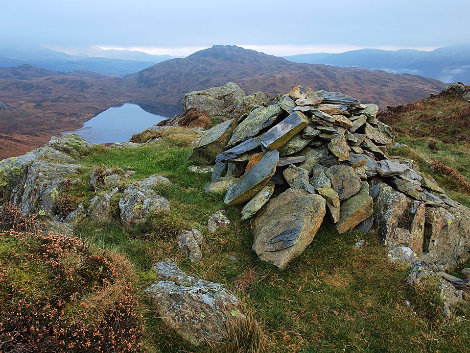
Beacon Fell and Tarn from the summit of Wool Knott.

15.11.10-073

Sunlight over Morecambe Bay.

15.11.10-090

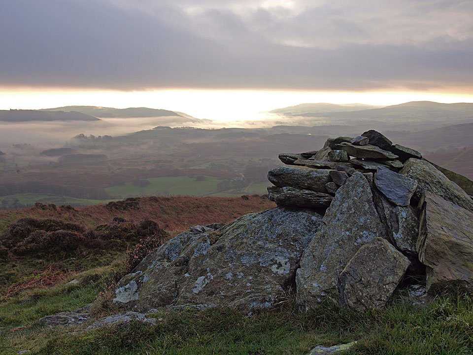
The light is giving the inversion an other worldly look.

15.11.10-094

The clouds above are thickening now.

15.11.10-097_stitch

Crake Valley panorama.

15.11.10-106

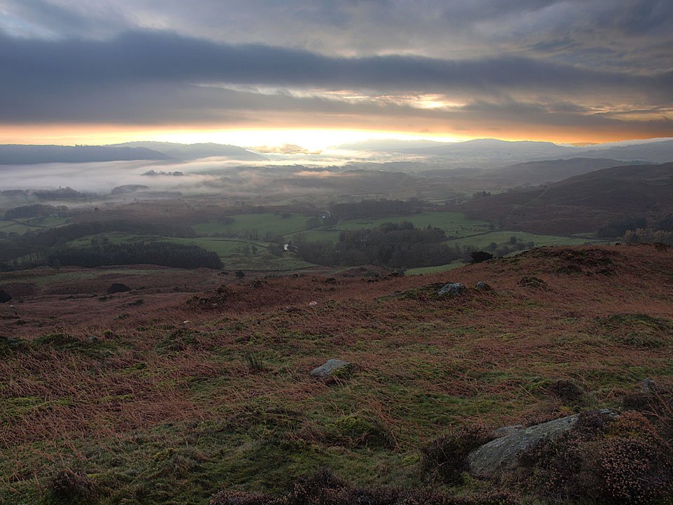
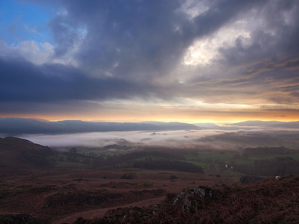
Dramatic sky, dramatic inversion from Slatestone Fell. Now there's an odd thing - it was absolutely chucking it down now and freezing cold but I didn't think you could get an inversion in those conditions.

15.11.10-112

Coniston Water in the rain from Slatestone Fell.

15.11.10-120

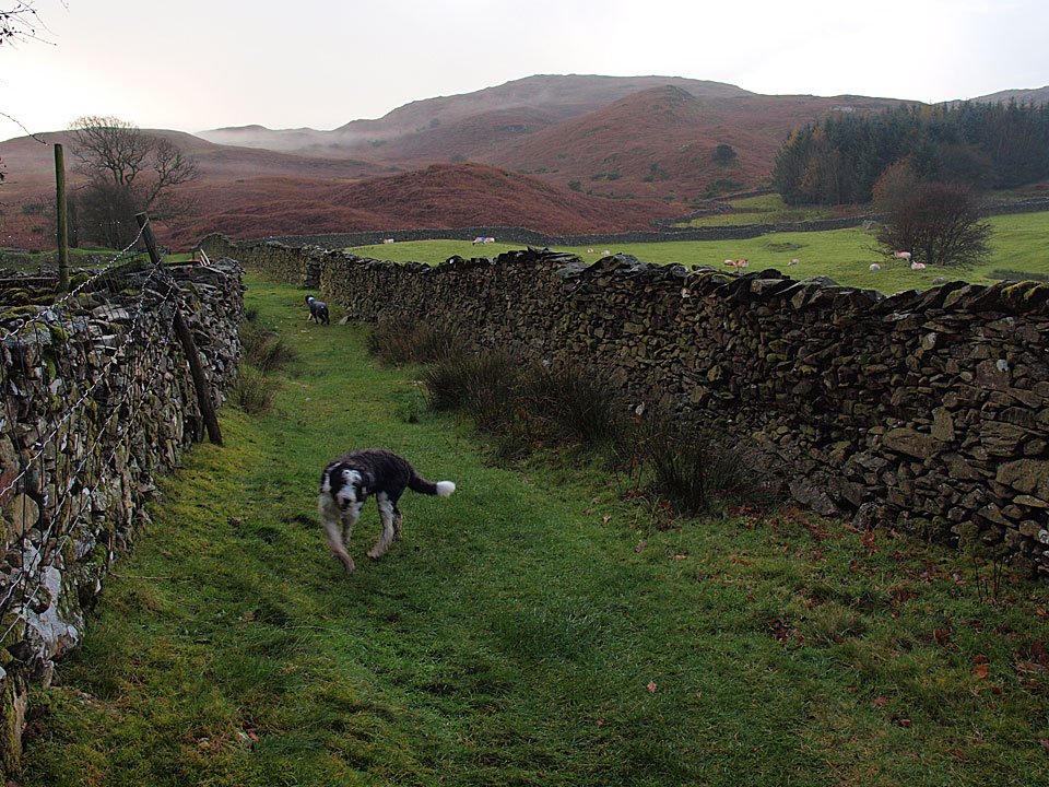
Walking the damp, walled highway on the way back - Tottlebank Height ahead.

15.11.10-123

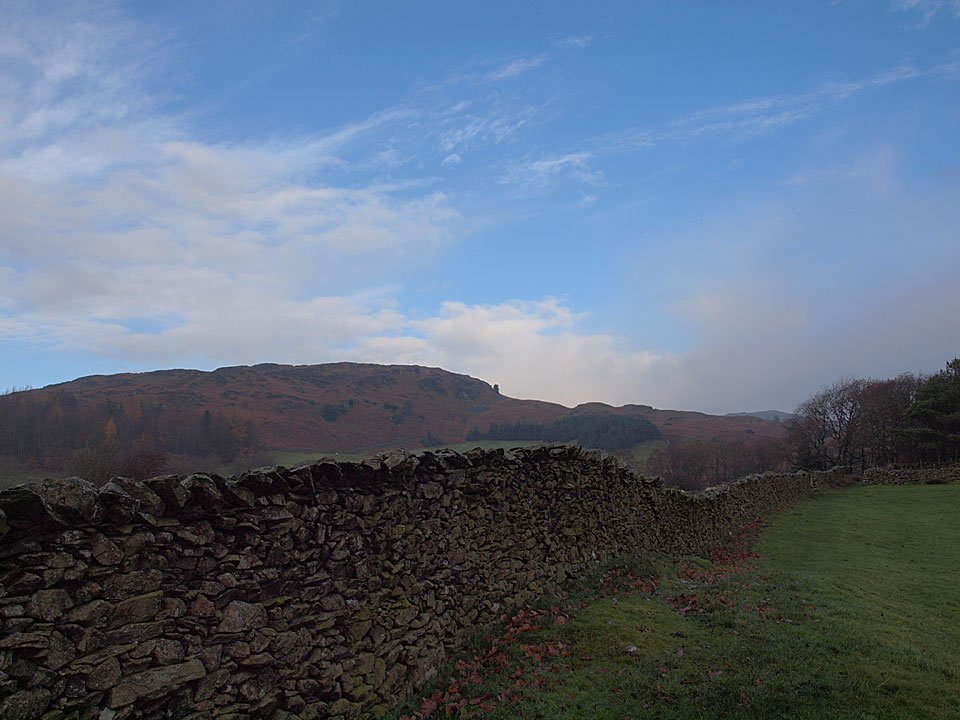
It's all change over Wool Knott now!

15.11.10-129

Looking back to Slatestone Fell, the mist now clearing and the rain has gone.

15.11.10-129s

A panoramic view from the same place.

15.11.10-139s

The mist is constantly clearing and then reforming.

15.11.10-146

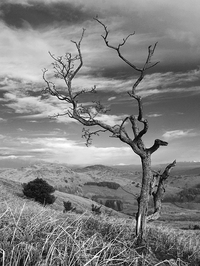
Dead tree on Tottlebank Height.

15.11.10-149

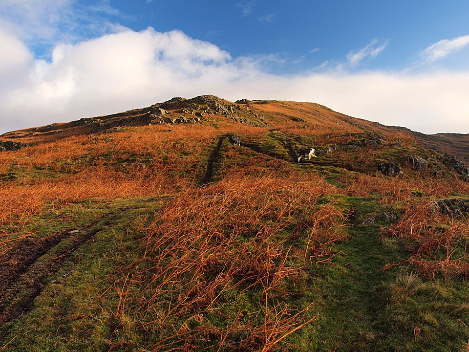
I climbed back to the top of Tottlebank Height to have another look around, here looking to Wool Knott and Beacon Fell.

15.11.10-153

Clearing Coniston Fells from Tottlebank Height.

15.11.10-159

Kirkby Moor.

15.11.10-163

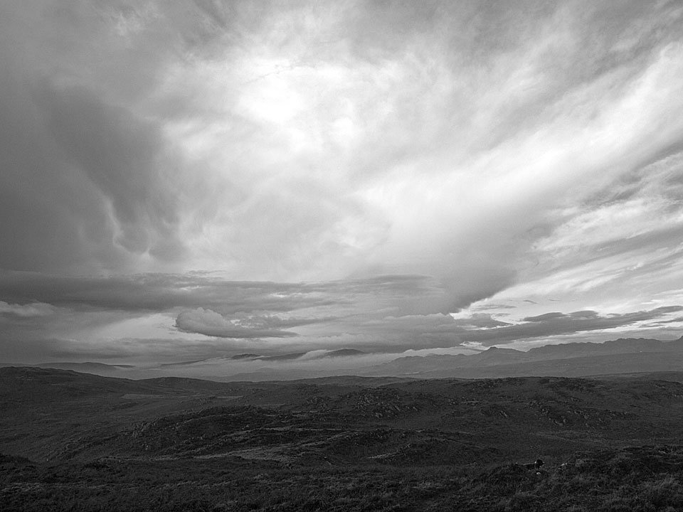
Big sky looking towards Black Combe now under a thick blanket of cloud.

15.11.10-169

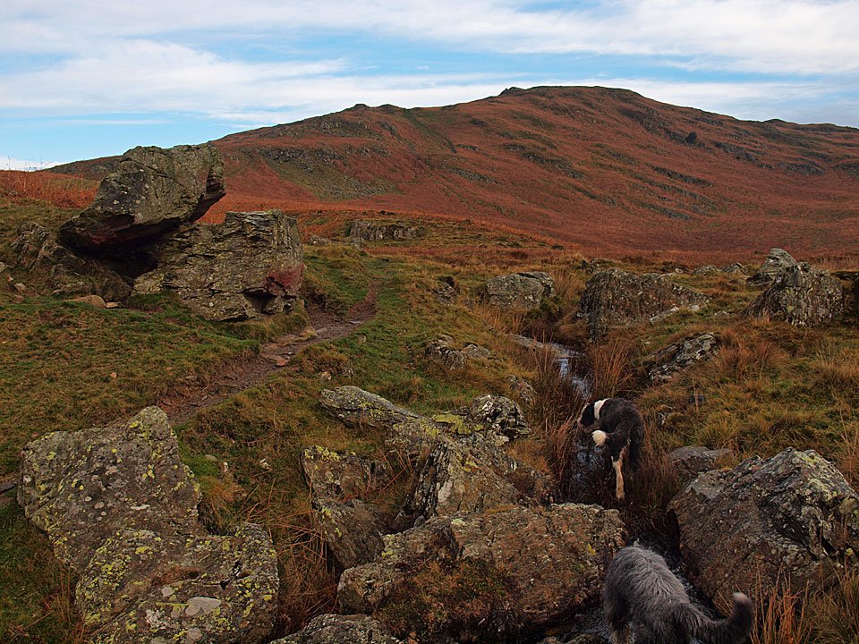
A final dip and a drink for the boys at the foot of Blawith Knott.

Woodland Fell

Walked on 15/06/2005

Start point: Woodland (SD 248 895)

Woodland – Yew Bank (OF) – Beacon Tarn – Wool Knott (OF) – Green Moor Farm – Woodland

Distance: 5.3 miles     Total Ascent: 464 metres     Time Taken: 2 hours

Weather: Dull and drizzly, 12°C.

Today’s walk is over little known and little frequented Woodland Fell which lies between Torver and Broughton. It is a lovely secluded place, very quiet, with great views to the Coniston fells in clear weather. Today, the weather was not kind with constant drizzle and grey skies – it felt like November, not June! Here is a snippet of how A.Wainwright described Woodland Fell ‘….the walk here described is a connoisseurs piece, every step an uninhibited joy, every corner a delight. No footmarks, no litter…’. I must say I agree with him.

This walk follows Wainwright’s Woodland Fell chapter in his book ‘The Outlying Fells of Lakeland’, page 102.

Woodland Fell

Woodland Fell route map.

Woodland Fell - 15th June 001

Yew Bank from Strands Beck.

Woodland Fell - 15th June 004

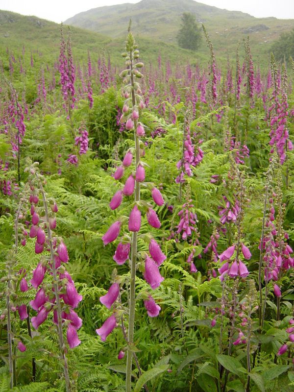
Foxgloves in abundance on Woodland Fell.

Woodland Fell - 15th June 007

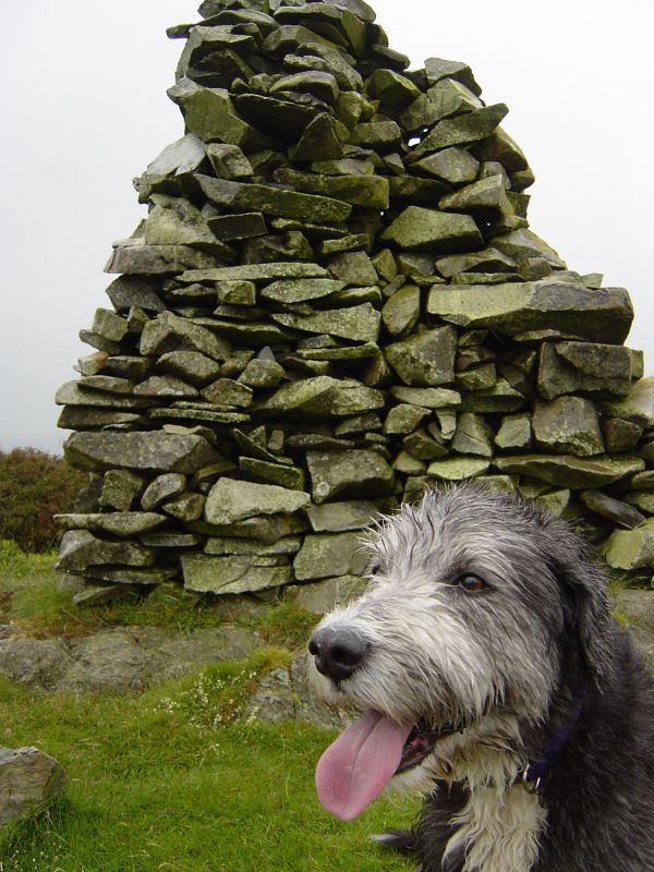
The summit of Yew Bank.

Woodland Fell - 15th June 009

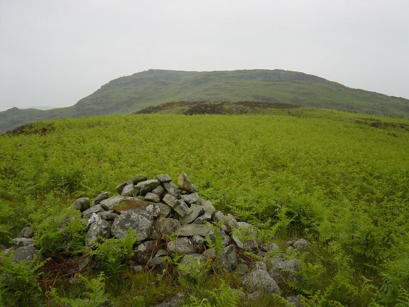
Beacon Fell from the cairn above Beacon Tarn.

Woodland Fell - 15th June 010

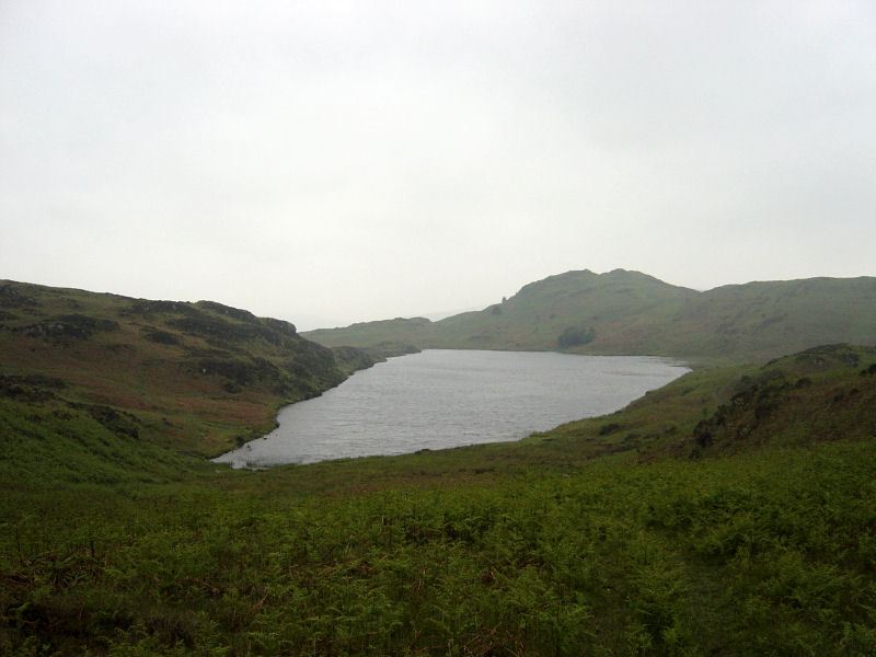
Beacon Tarn - re-christened 'Sparkly Tarn' by Connie two weeks ago - not looking quite so sparkly today.

Woodland Fell - 15th June 017

Woodland Fell - 15th June 018

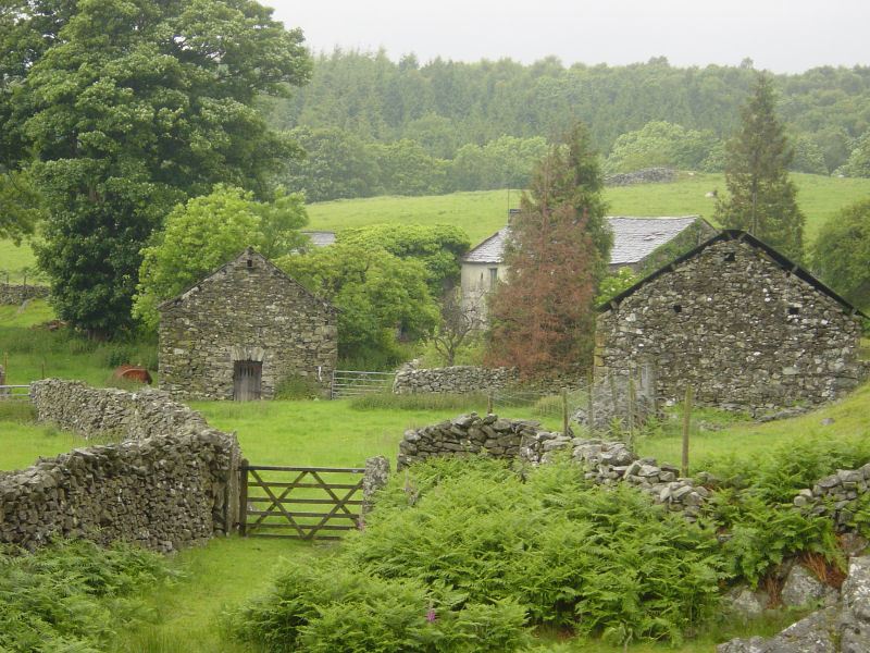
Green Moor Farm.

Woodland Fell - 15th June 019

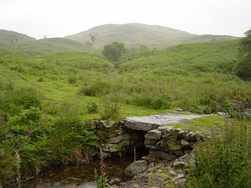
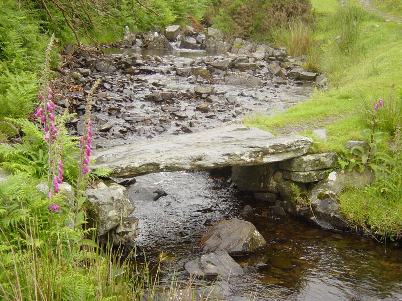
The footbridge, Green Moor Beck.

Walking Diary

  • The Mosedale Horseshoe 01/03/2022
  • Caw 18/01/2022
  • Coniston sunset 17/01/2022
  • Blencathra 15/01/2022
  • Scafell Pike 14/01/2022

Social

  • Facebook
  • Twitter

Information

  • Striding Edge
  • T&C’s
  • Privacy
  • Links