Striding Edge

A photo diary of Lake District fell walks

  • Walks
  • Fells
    • Wainwrights
      • Eastern Fells
      • Far Eastern Fells
      • Central Fells
      • Southern Fells
      • Northern Fells
      • North Western Fells
      • Western Fells
      • Outlying Fells
    • Birketts
  • Dogs
  • Love The Lakes
  • Contact

Blawith Knott

Walked on 15/07/2009

Start point: Woodland Fell road (SD 256 879)

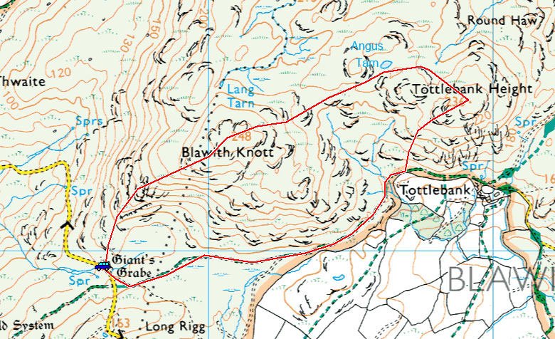
Woodland Fell Road – Blawith Knott (OF) – Lang Tarn – Tottlebank Height (OF) – Woodland Fell Road

Distance: 2 miles     Total Ascent: 156 metres     Time Taken: 2 hours

Weather: Frequent showers. 21C.

Today we had a short walk up to Blawith Knott which lies above the Woodland valley and we were joined by our friends Roger and Ann Hiley along with their dogs Harry and Bethan. The weather was none too promising when we set off as the rain was quite heavy, but thankfully it cleared and the walk was completed in a mixture of bright sunshine and frequent showers.
Blawith-Knott_map

Blawith Knott route map.

15.07.09-002

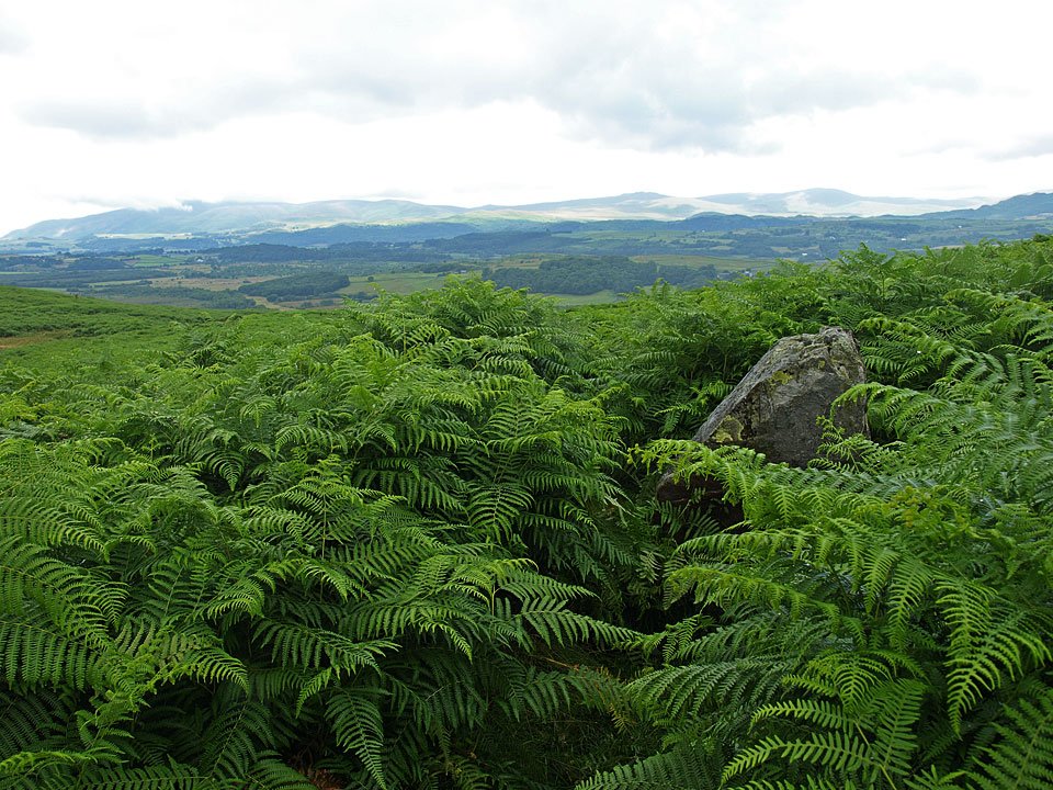
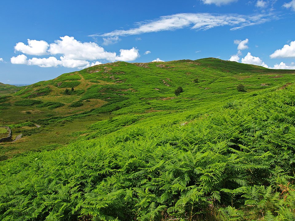
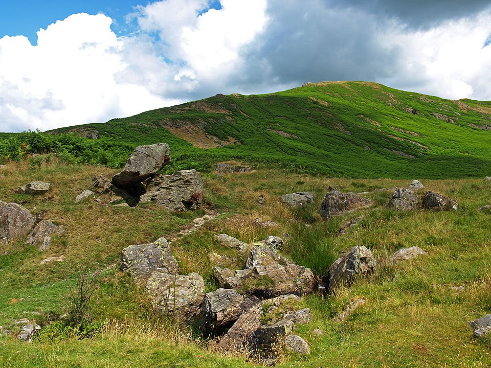
Giant's Grave is just about visible over the tall bracken today.

15.07.09-004

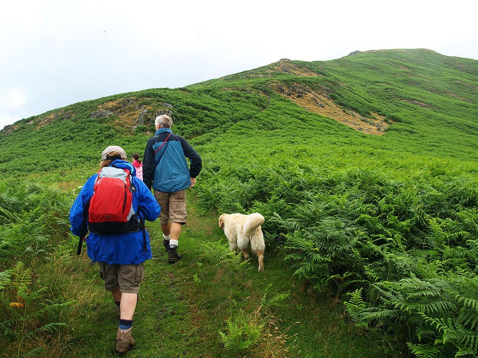
It was a bit of a damp start to the walk on the path to Blawith Knott but we were hopeful of brighter weather to come.
15.07.09-015

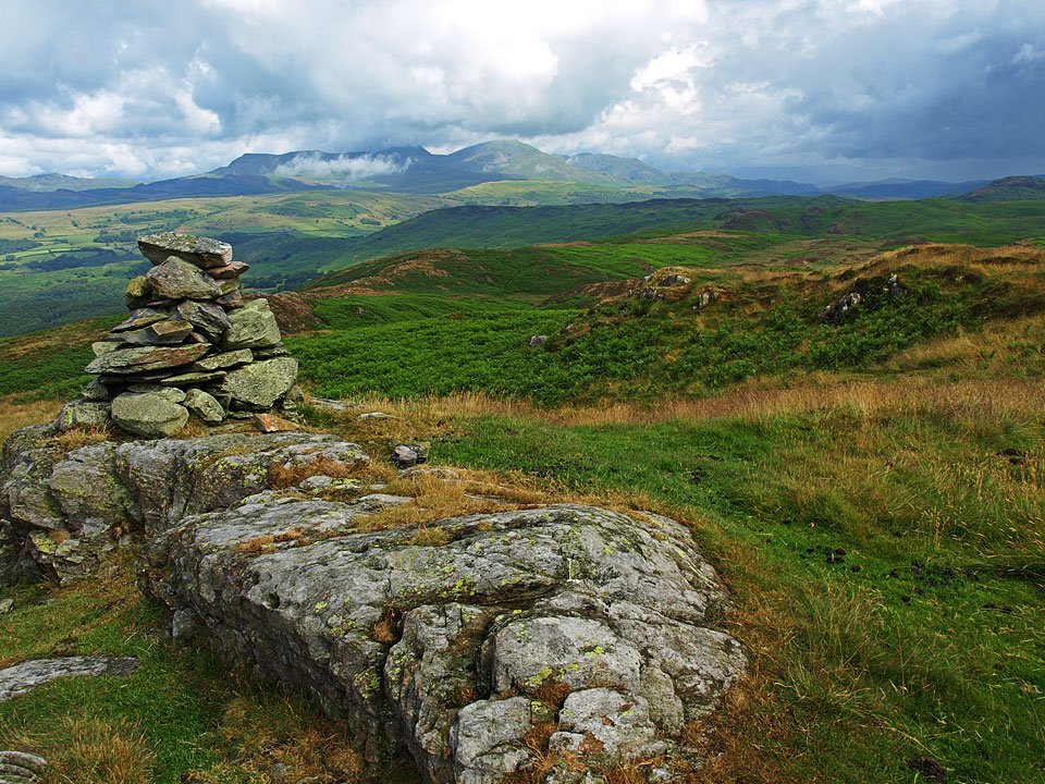
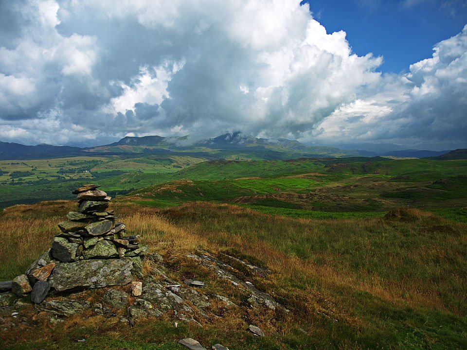
By the time we reached the first summit cairn things had started to clear a little.

15.07.09-017

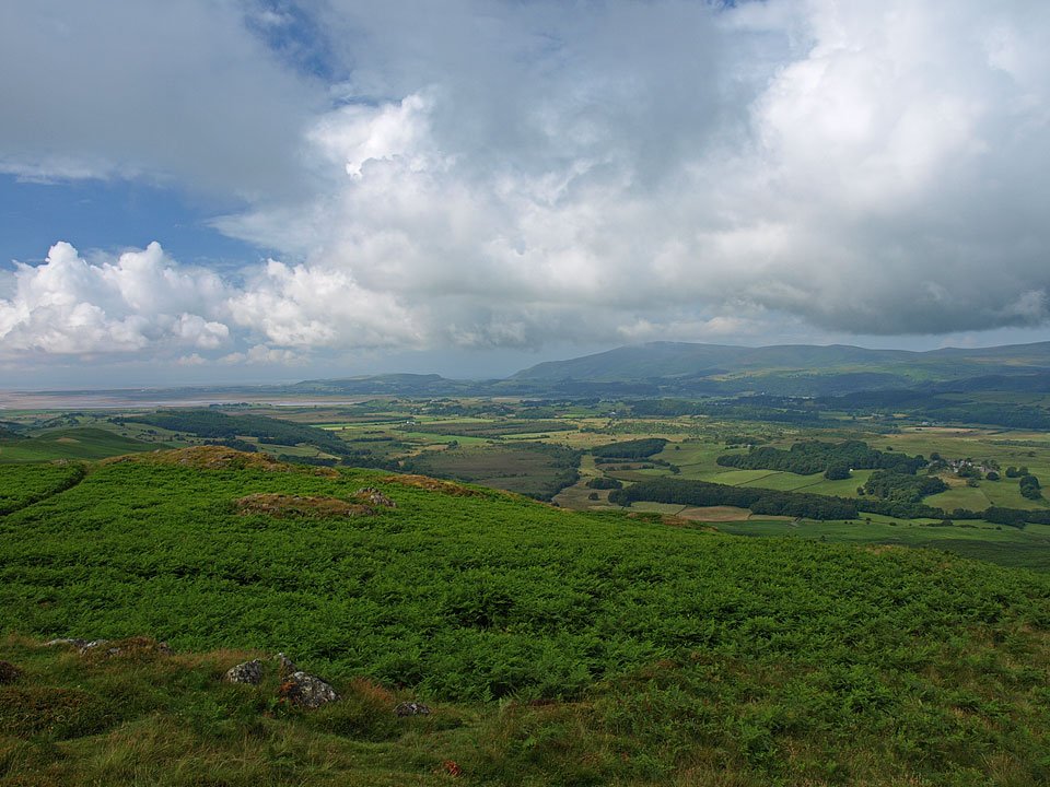
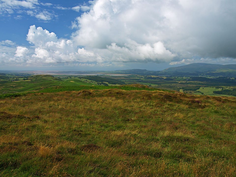
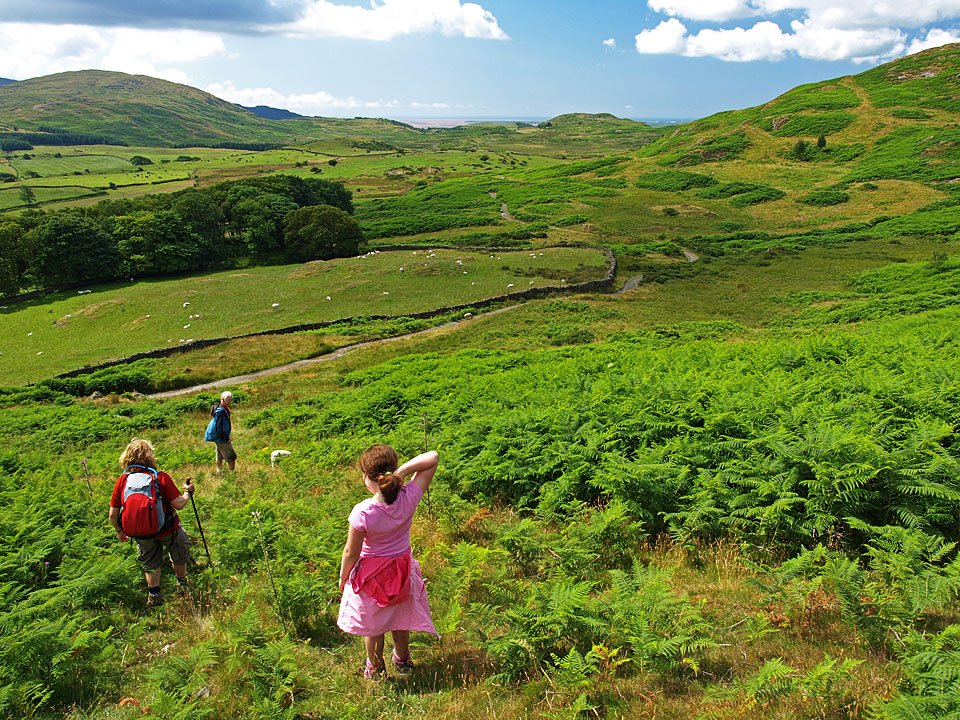
To the west, blue sky over the Duddon Estuary and heading for Black Combe.

15.07.09-021

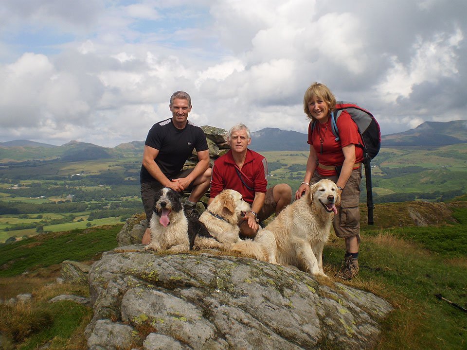
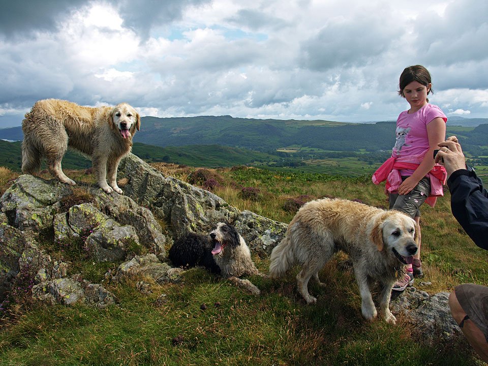
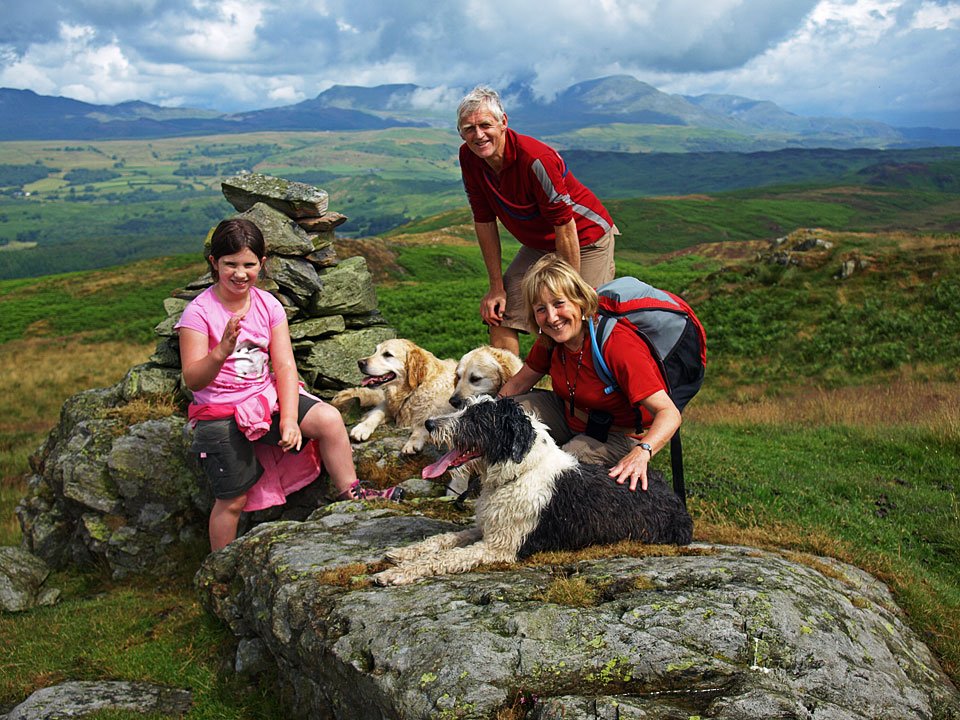
A group shot on the summit - Connie, Roger and Ann accompanied by the three dogs - Harry, Bethan and Casper.
15.07.09-103

Me and Connie swapped places for this one.

15.07.09-023

The Coniston fells from the summit.

15.07.09-029

Beacon Fell and Wool Knott.

15.07.09-032

The Duddon Estuary and Black Combe.

15.07.09-034

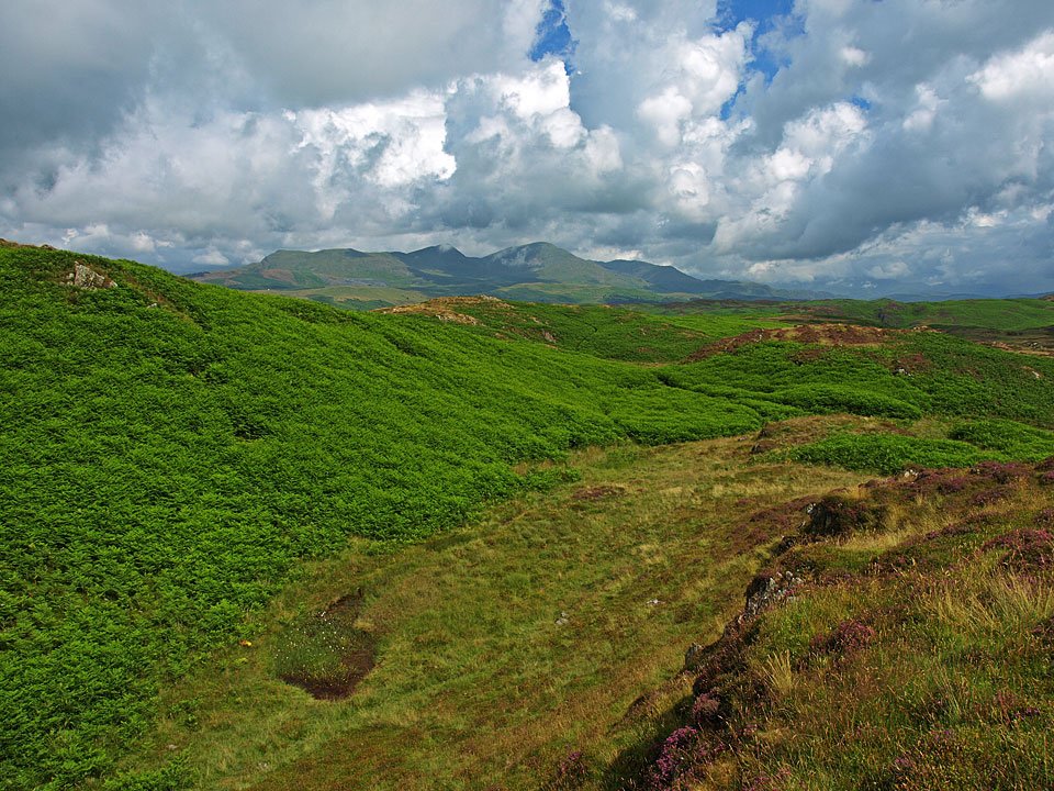
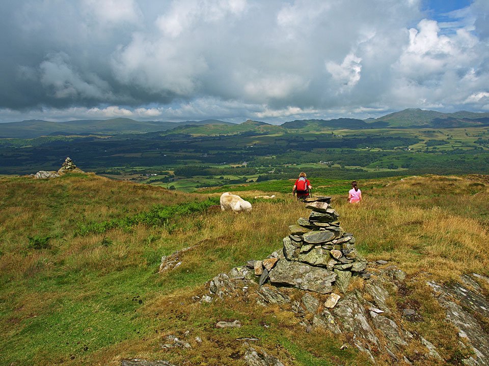
The Dunnerdale fells and the two cairns on the summit of Blawith Knott. Ann and Connie take a short detour to the north from the summit which leads down to Lang Tarn.

15.07.09-041

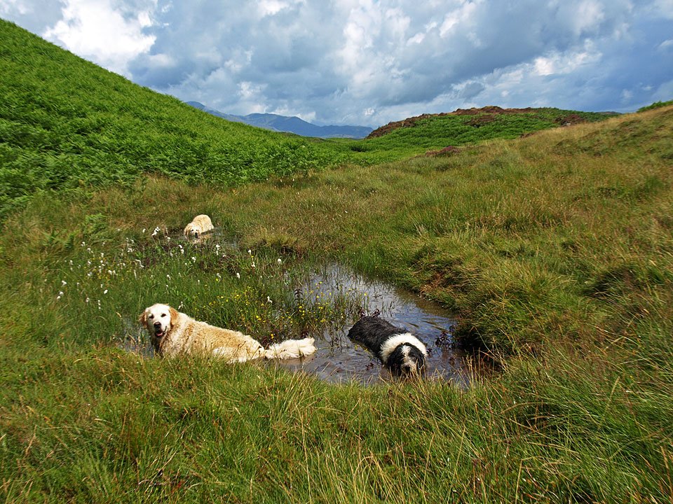
Lang Tarn (towards the bottom of the photo) which along with Foxes Tarn is reputed to be the smallest named tarn in the Lake District.

15.07.09-044

Just big enough to fit three dogs in, so that's alright then!

15.07.09-051

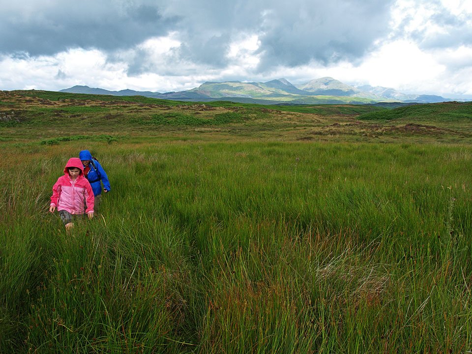
Another of the frequent showers and it is hoods up for Connie and Ann heading across to Angus Tarn.

15.07.09-054

Blue sky behind once more looking back to Blawith Knott after rejoining the main path.

15.07.09-061

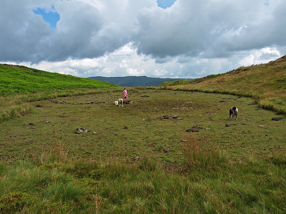
Connie and the dogs wonder what on earth has happened to all the water in Angus Tarn.

15.07.09-068

Doggy photo call on Tottlebank Height.

15.07.09-079

Blawith Knott from the descent of Tottlebank Height.

15.07.09-081

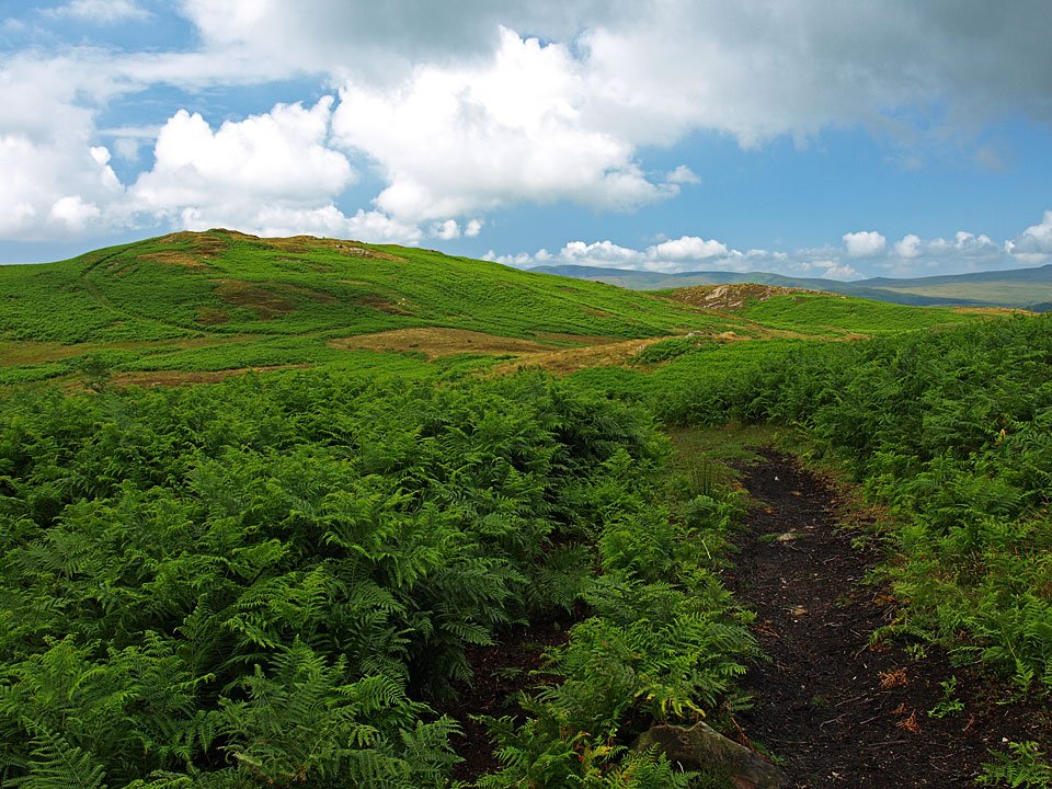
Great Burney to the left from the now warm descent through the bracken.

15.07.09-085

Blawith Knott from the Woodland Fell road.

Share this…


  • Facebook


  • Twitter


  • Messenger


  • Whatsapp


  • Email

Previous walk Next walk

Walking Diary

  • The Mosedale Horseshoe 01/03/2022
  • Caw 18/01/2022
  • Coniston sunset 17/01/2022
  • Blencathra 15/01/2022
  • Scafell Pike 14/01/2022

Social

  • Facebook
  • Twitter

Information

  • Striding Edge
  • T&C’s
  • Privacy
  • Links