Start point: Sadgill Bridge, Longsleddale (NY 483 057Sadgill Bridge, Longsleddale – Grey Crag(Longsleddale) – Tarn Crag (Longsleddale) – Brownhowe Bottom – Sadgill Bridge, Longsleddale
Distance: 5.8 miles Total Ascent: 767 metres Time Taken: 4 hours 20 minutes Start Time: 09:20
Weather: Cold with long sunny spells. 4&c;C
Today I had a meeting with Clive Hutchby who has edited Wainwright Book 1, The Eastern Fells (more of that below) so we decided on a walk on the Far Eastern Fells which is the book under revision at the moment. When we arrived at Sadgill the weather was looking very promising and stayed pleasingly wintry pretty much all of the way round apart from a couple of heavy hail showers. The snow ceratinly lit up the scenery today showing this area in its best light. The only downside to that was the deep snow hid the worst of the boggy bits so on the odd occasion we were past boot depth in snow and mud.
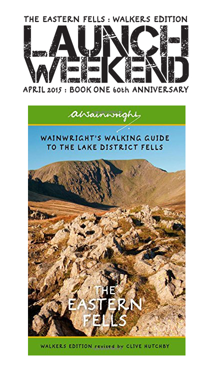
On Saturday 4th April the Eastern Fells will be launched in Keswick Love the Lakes with the same happening on Sunday 5th April at Love the Lakes Bowness on Windermere. We would love to see you there – Clive Hutchby will be signing and the furry fiends Fletcher and Dougal will both be in attendance. If you cannot make it, you can pre-order a signed copy complete with the launch weekend stamp (shown above the book in the photo) here

Tarn Crag Route Map

Looking good at the start of the day at Sadgill.

Longsleddale.

Looking across Sadgill and Longsleddale.

The easy gully - slippery today.

Climbing higher - looking back down the gully.

The head of Longsleddale from Great Howe.

The lights went out for a while and there was a sleety-haily shower.

Looking back to Great Howe as the clouds pass over.

Grey Crag ahead.

The view from the climb.

Shipman Knotts, Kentmere Pike and Harter Fell from the fence crossing.

The summit of Grey Crag.

looking back to Grey Crag from the climb to Tarn Crag. I managed to get a bootful of water on that bit!

Fletcher spots Lee (who we chatted to on the climb) heading for Tarn Crag. He just wants to round us all up!

The summit of Tarn Crag.

The survey column on Tarn Crag.

...and looking the other way.

Blazing a trail.

Kentmere Pike across Longsleddale.

Harter Fell.

Rough Crag and Kidsty Pike through the gap..

High and mighty - Fletcher and Dougal.

Kentmere Pike.

The rugged eastern face of Kentmere Pike.

Fabulous winter conditions on the fells, looking from Brownhowe Bottom.

Brownhowe Bottom, looking back along the path used in descent.

Back on the main track it was really warm now - a very Spring like 9C.

The view back into Longsleddale.