Height: 931 metres / 3054 feet Grid reference: NY 21855 07548
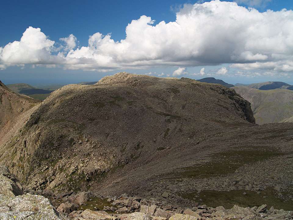
Broad Crag from Ill Crag
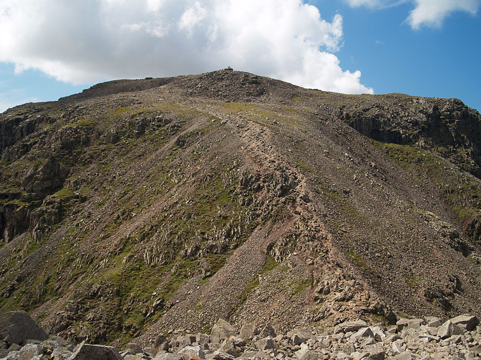
Scafell Pike from Broad Crag
Height: 931 metres / 3054 feet Grid reference: NY 21855 07548

Broad Crag from Ill Crag

Scafell Pike from Broad Crag
Walked on
Start point: Brackenclose (NY 182 074)
Brackenclose – Brown Tongue – Scafell Pike – Ill Crag – Broad Crag – Great End (and return) – Mickledore – Hollow Stones – Brackenclose
Distance: 7.5 miles Total Ascent: 1247 metres Time Taken: 6 hours Start Time: 06:45
Weather: Sunny above the clouds. 3oC
With the ridge of high pressure sitting over the Lake District and the persistent fog at lower levels there was a very good chance there would be a temperature inversion today which fortunately proved to be correct. I set off early from Brackenclose to try and catch the sunrise from the roof of England and I am glad I did, it was a fantastic morning to have the highest peaks in the land all to myself with some stunning views.
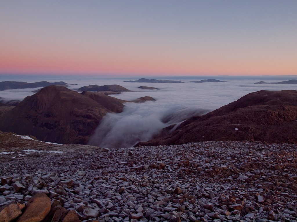
This was interesting to watch, the cloud is pouring over Sty Head into the valley between Great Gable and Great End. In the distance are Skiddaw and Blencathra.
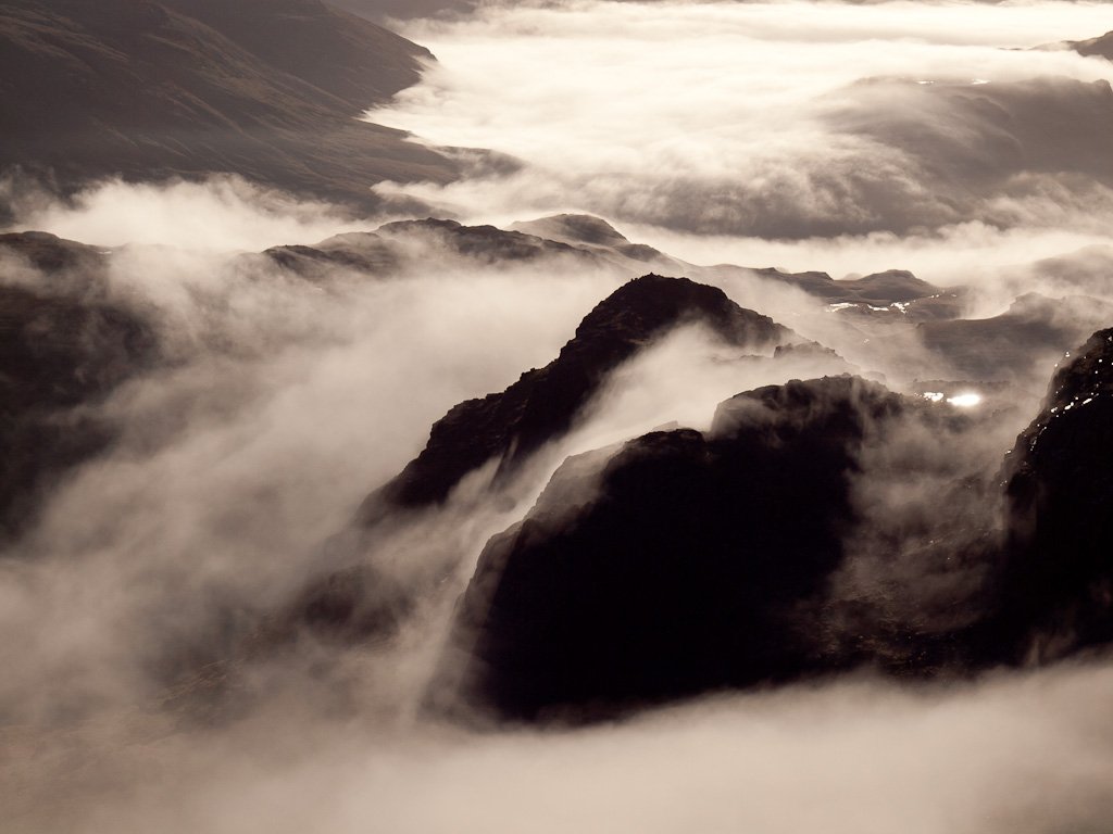
Another chance to sit and watch with wonder, the cloud pouring across Pen then floating up towards me.
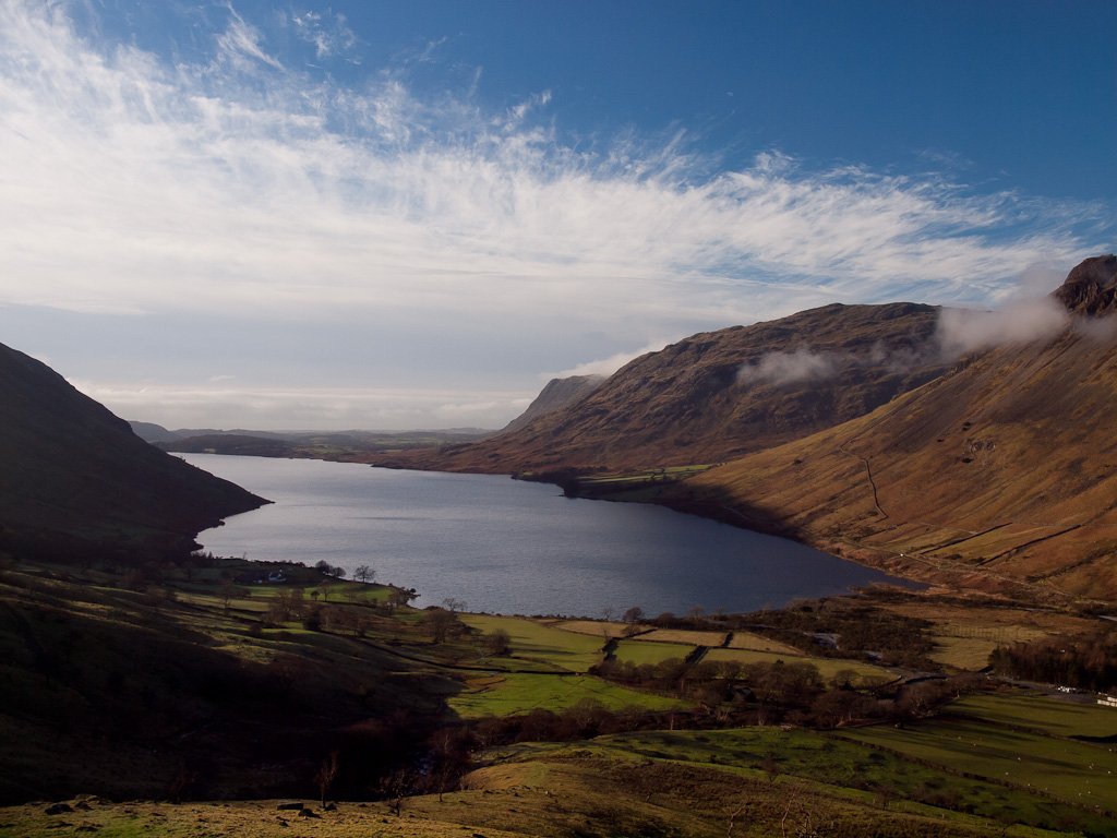
Wast Water. On the way home, I had to see what the view was like from Stickle Pike looking the other way...
Walked on
Start point: Wasdale Head (NY 186 084)
Wasdale Head – Moses Trod – Skew Gill – The Band – Great End – Ill Crag – Broad Crag – Scafell Pike – Lingmell Col – Lingmell – Wasdale Head
Distance: 7.8 miles Total Ascent: 1115 metres Time Taken: 5 hours 15 minutes
Weather: Sunny spells, warm. 12oC.
Some walks are pretty and some are easier than others but today’s walk is best described as a gnarled and hard going. I climbed Skew Gill to reach Great End and that was a hard scramble (Note: to repeat, Skew Gill is a hard scramble and in no way is it a ‘walk’) and had a look at Cust’s Gully before climbing Great End and walking the Scafell Pikes. It was really quite pleasant at times too, warm and spring like and not too many people about either.
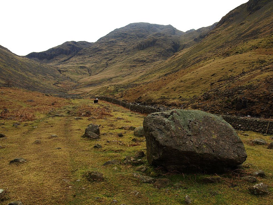
Great End ahead. Skew Gill, the route of ascent can be seen as the dark diagonal line to the left of the highest part of the fell.
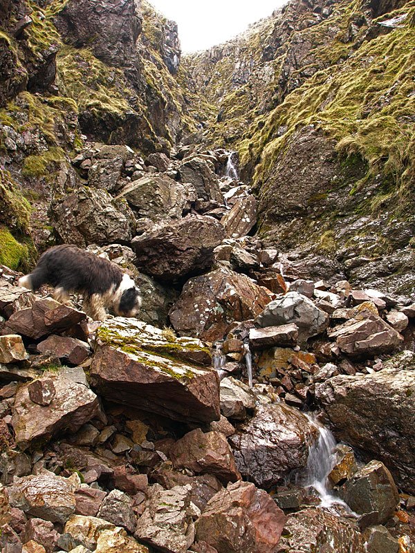
Casper leads the way in Skew Gill. It is best to stay in the middle with the gill rather than climb the sides, which become very steep.
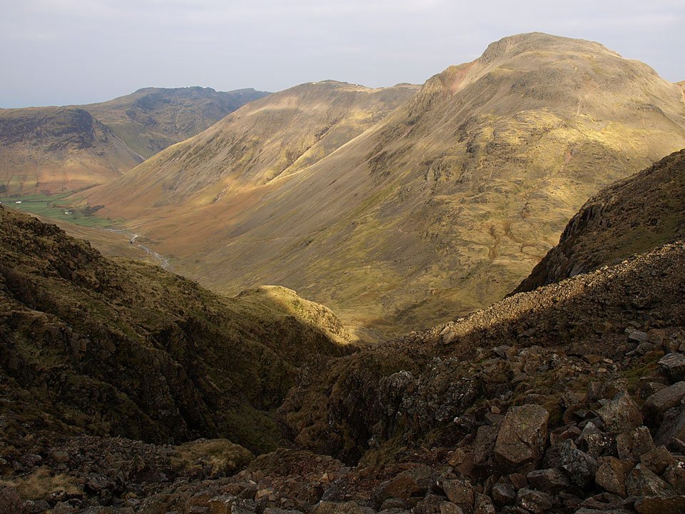
Suddenly you pop out from the top of the ravine, blinking into the light. The top part of the gill almost looks as though there is now way out when you turn the right angle corner and a bit of a climb is required to escape the steep sided ravine. Here's a bit of sunshine on Great Gable and Kirk Fell from the head of Skew Gill.
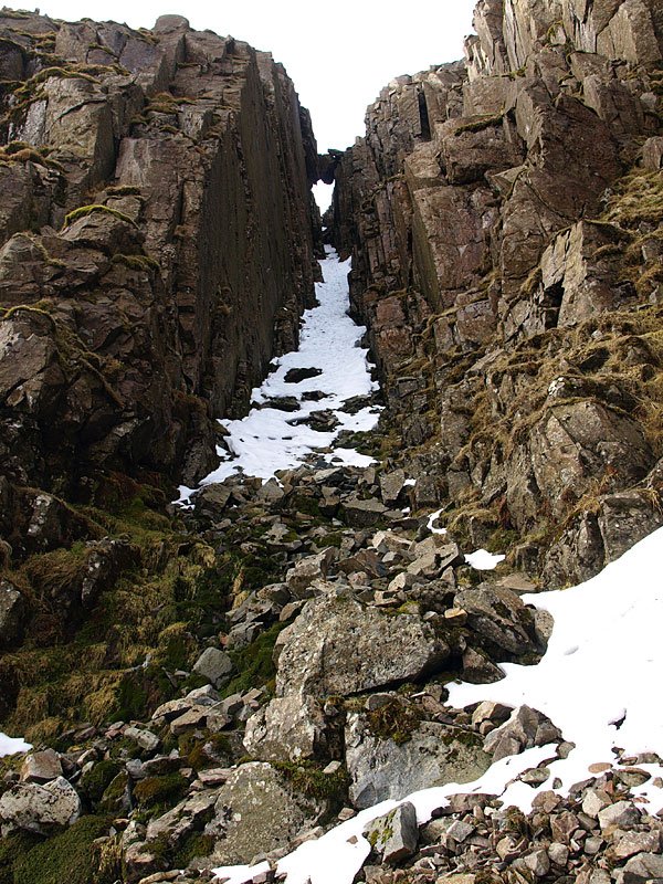
Cust's Gully. I had a look and made it as far as the black rock sticking through the snow about a third the way up. The snow was part frozen and treacherous so there was no way I would risk going any further today, similarly the branch gully to the right was snow filled too so it was the pedestrian route further round to the right for me. When I reached the top and looked down Cust's Gully, there was a big cornice of icy snow there so that would certainly have been tricky to surmount. I think I will have another look in the summer.
Walked on
Start point: Brotherilkeld, car park at the bottom of Hardknott Pass (NY 214 011)
Brotherilkeld Farm – Lingcove Bridge – Great Moss – Esk Hause – Great End (510) – Ill Crag (511) – Broad Crag (512) – Scafell Pike – Mickledore – Lord’s Rake – West Wall Traverse – Deep Gill – Scafell – Slight Side – Catcove Beck – Brotherilkeld Farm
Distance: 12.5 miles Total Ascent: 1295 metres Time Taken: 6 hours
Weather: Sunshine. 18oC.
The sun finally shone today for this personal favourite walk to the Scafells from Brotherilkeld via Upper Eskdale and Great Moss. Conditions were almost perfect with the warm temperature and a light breeze and hardly a soul about apart from the usual congestion on Scafell Pike summit. I didn’t take Angus today as this sort of walk is too tough for him now, but Casper came and managed to take it all in his stride. I hope you enjoy today’s photographic journey as much as I enjoyed being there – what better place to be on a Monday morning?
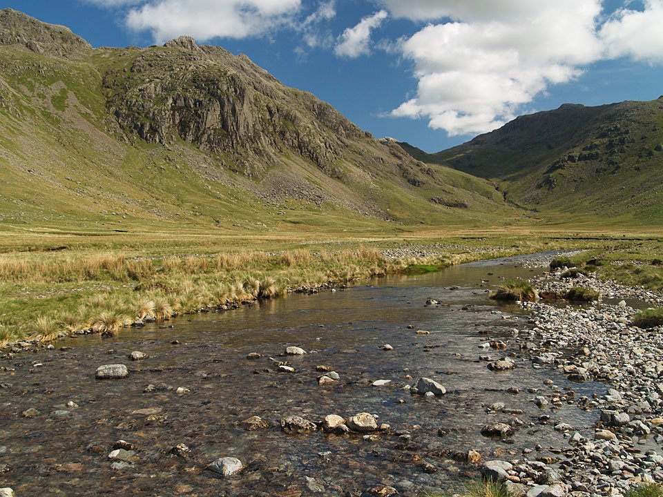
Great Moss - the route from here is below Pen on the left and climbing to the depression of Esk Hause ahead.
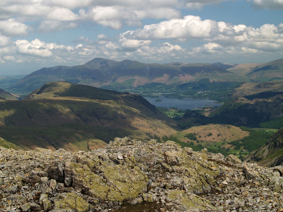
Skiddaw and Derwent Water from the summit of Great End. I had intended 'saving' Great End until I finished my round of the Birketts, but what the heck, it was too nice to miss the view today.
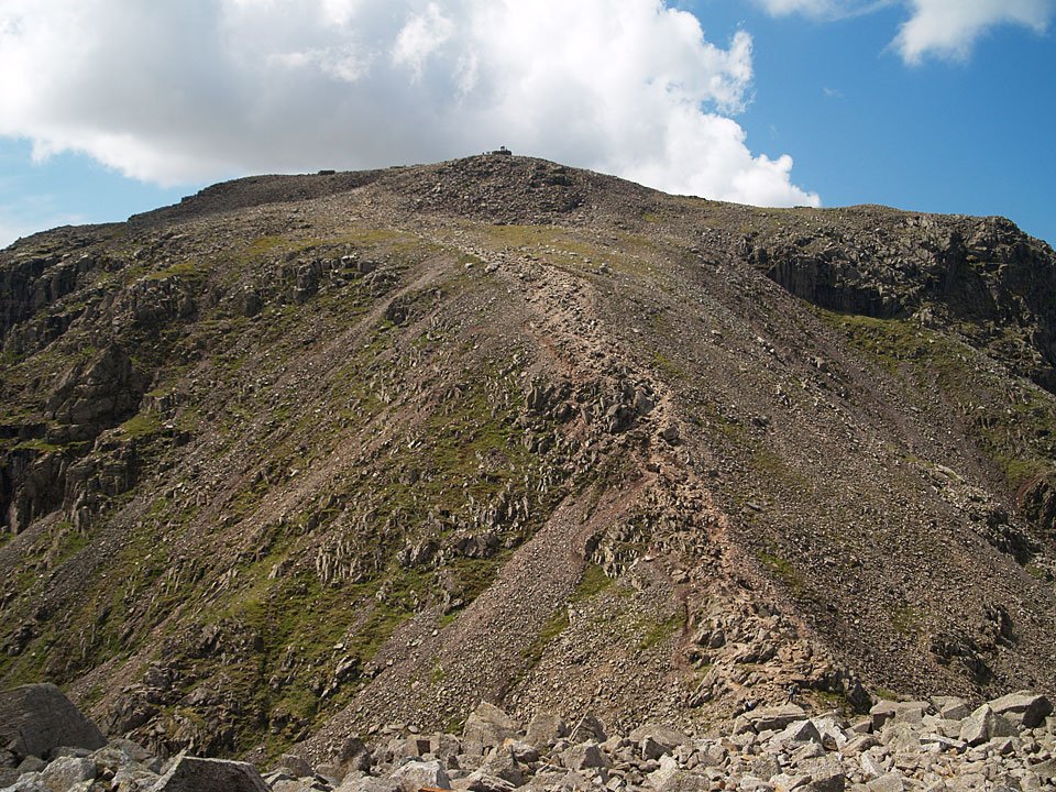
No mistaking the route to the summit of Scafell Pike from here, looks like it is busy up there as well.
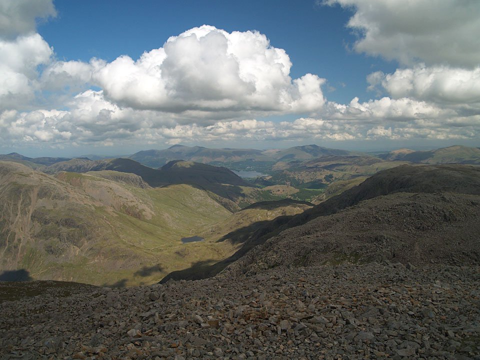
Looking over Styhead Tarn to Derwent Water and Skiddaw from the summit of Scafell Pike, the highest point in England.
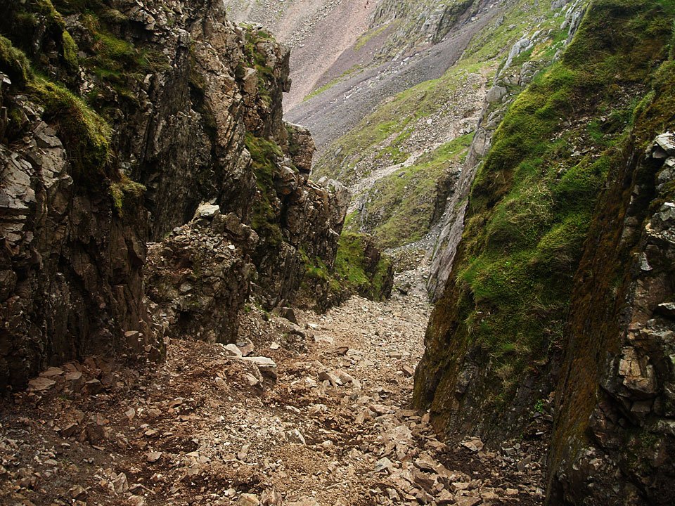
Looking back down Lord's Rake from the start of the West Wall Traverse. The entrance to the West Wall Traverse to the right of this photo is very eroded now, much worse than I remember it.
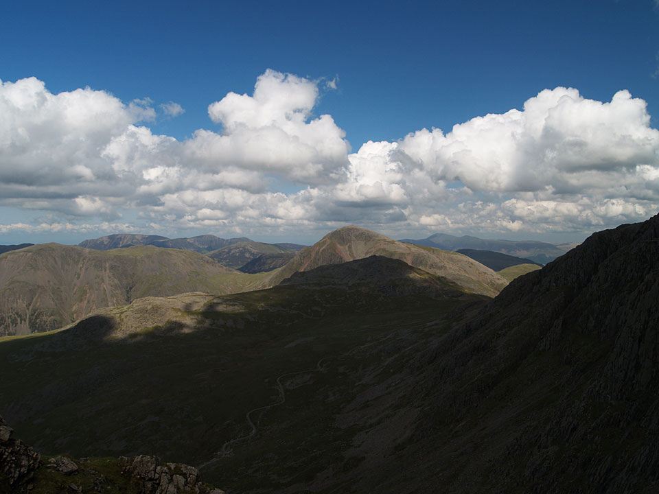
The view from the first section of the West Wall Traverse. The West Wall Traverse is a gently inclined high level path joining Lord's Rake and Deep Gill.
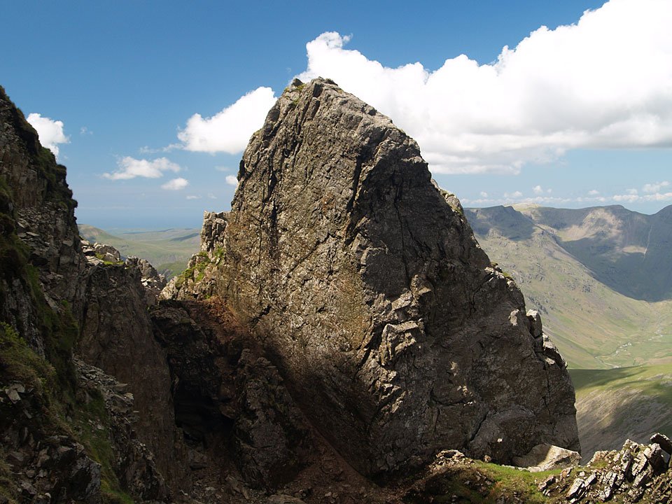
Looking back to Lord's Rake. The large boulder is at the top of the first section, the fallen boulder is resting across the top of Lord's Rake to the lower left.
