Brock Barrow (OF) from High Nibthwaite
I had a quick walk late this afternoon in the setting sun up on the east side of Coniston Water. It was so late on it ended up as more of a sprint than a walk to catch the last of the light.
Walked on
Brock Barrow (OF) from High Nibthwaite
I had a quick walk late this afternoon in the setting sun up on the east side of Coniston Water. It was so late on it ended up as more of a sprint than a walk to catch the last of the light.
Walked on
Start point: High Nibthwaite (SD 295 897)
Brock Barrow (OF) from High Nibthwaite
Distance: 1.2 miles Total Ascent: 165 metres Time Taken: 1 hour
Weather: Low cloud. 16ºC.
There was low lying cloud and temperature inversion like conditions over the Crake Valley this morning so I thought we would have a short walk up there seeing as Angus was out for a jaunt with us too. I think even that walk was too much for him today and I fear that this really is the end of his fell walking career.
Walked on
Start point: Stephenson Ground (SD 235 931)
Stephenson Ground – Green Pikes (OF) – Pikes (40) – Caw (41) (OF) – Brock Barrow (42) – Fox Haw (43) – Raven’s Crag (44) – Carter Ground – Stephenson Ground
Weather: Overcast turning to drizzle.
A short walk this morning over another almost undiscovered jewel – Caw and the Dunnerdale Fells. It is not often you can walk completely alone for miles, especially during half term, but this was the case today.
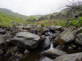
I started from the tiny hamlet of Stephenson Ground and walked high along a ridge overlooking the River Lickle as far as Natty Bridge where the path began to rise. A heron was sat here, looking for its breakfast before it spotted me and majestically flew away.
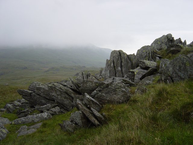
Rock formations on Green Pikes. As the path levelled out, ahead of me was Dawson Pike with its vivid white quartz summit and a sharp left turn took me to the summit of Green Crags, a non-descript top with strange slate formations.
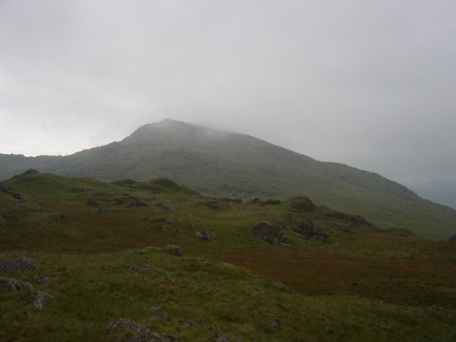
Caw from Green Pikes summit. A quick hop and I was onto Pikes, I could see Caw ahead, in and out of the swirling mist.
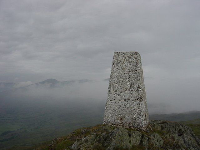
Ordnance column on Caw with Grey Friar appearing through the mist. A short descent and then a zigzag path led to the summit of Caw, the ordnance survey column seemingly lower than the main top. The views from here were excellent, the distant tops of Harter Fell, Bowfell and Grey Friar in and out of the mist. I hung around here for a little while to try and catch the threatened temperature inversion, but it never quite happened.
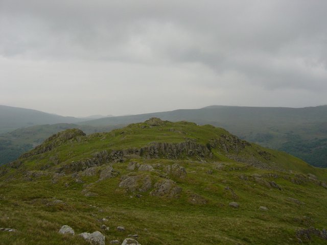
Brock Barrow. Again a descent, across a flat hollow (Long Mire) a hurdle over an ancient wall and up to the rocky top of Brock Barrow - decked out with aerial masts for the Duddon and Dunnerdale valleys below.
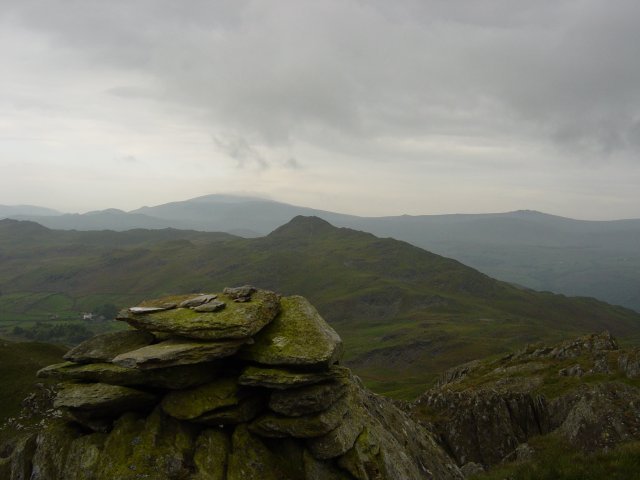
Stickle Pike (Dunnerdale) from the summit of Fox Haw, Black Combe and Buck Barrow are in the distance. Back over the wall and onto a rocky ridge to find a curiosity, namely a solar panel with a plaque 'Global Seismology Research Group', based in Edinburgh. Along the ridge to the summit of Fox Haw with lovely views of Stickle Pike and over to Black Combe, the Whitfell group and Devoke Water - the fells I had rounded on 13th May.
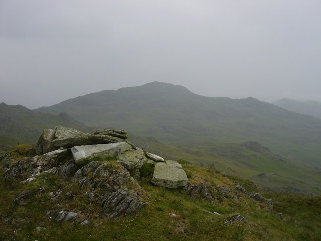
Caw from Raven's Crag summit. Again following the bumpy ridge I came to the summit of Raven's Crag. A steep descent towards Carter Ground, past the old Copper Mine and through a gate where the bridleway passes through the garden. A short stroll and I was back on the tarmac for the walk back to Stephenson Ground.
