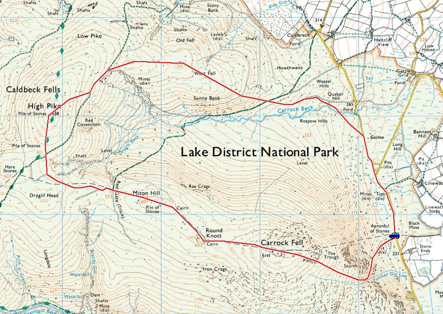
Start point: Stone Ends (NY 354 338)
Stone Ends – Rake Trod – Carrock Fell – Round Knott – Miton Hill – High Pike – West Fell – Carrock Beck – Stone Ends
Distance: 6 miles Total Ascent: 530 metres Time Taken: 2 hours 50 minutes Start Time: 08:50
Weather: Cold but exceptionally clear. 2°C
‘Caldbeck fells are worth all England else’ so the saying goes…and they certainly were today. What a fabulous morning in the Lake District, I could have walked forever in those conditions if only I had the time. The wind was certainly bracing at times but the going was easy across iced over bogginess that is the usual terrain across here.

Early morning on the Caldbeck road looking to Great Mell Fell.

Carrick Fell with Rake Trod, today's route of ascent, clearly picked out by the low sun.

Climbing Rake Trod.

...and looking back down. It is going to be a great day on the fells.

Wainwright's "rowan on crag".

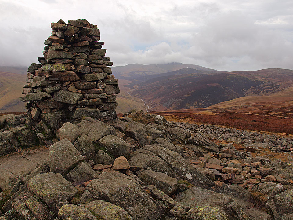
The summit of Carrock Fell where there are fabulous, clear views today but with a biting wind.

The back o' Skidda'.

How cold is it boys?

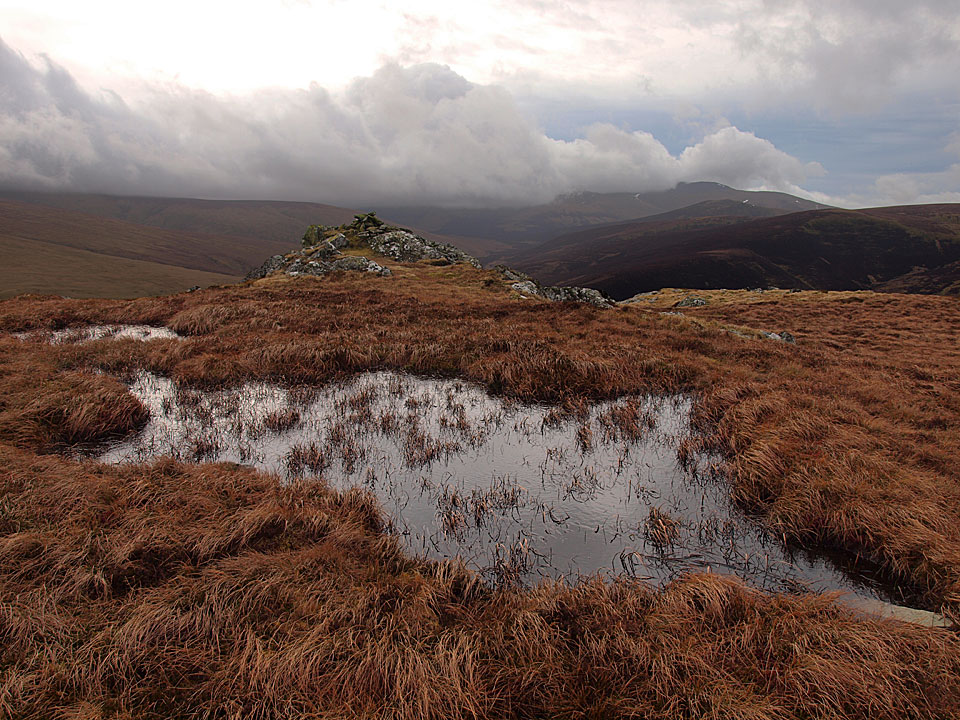
Carrick Fell from Round Knott.

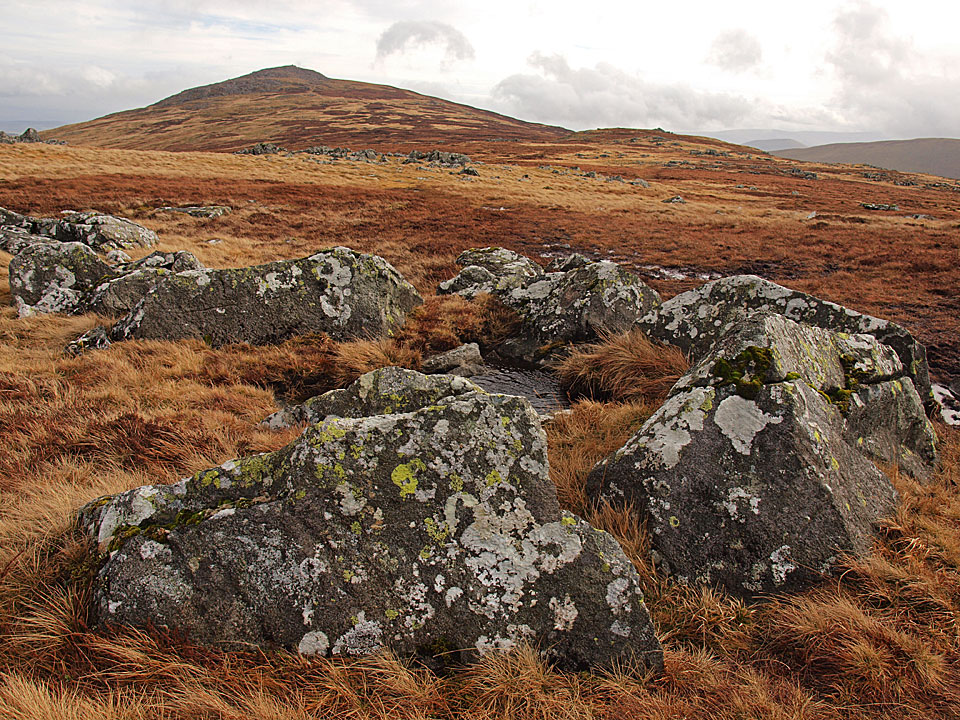
Heading for High Pike.

Looking back to Carrock Fell.

The view from Drygill Head.

Beautiful on High Pike.

High Pike summit - O.S column, shelter and seat.

This looks comfortable!

Looking across the Solway Firth to Criffel.

The ruins of a cottage (a room with a view!) from the site of the beacon.

The view from Driggeth Mines, I descended along West Fell to the left.

Looking back to High Pike.

Howthwaite Stone.