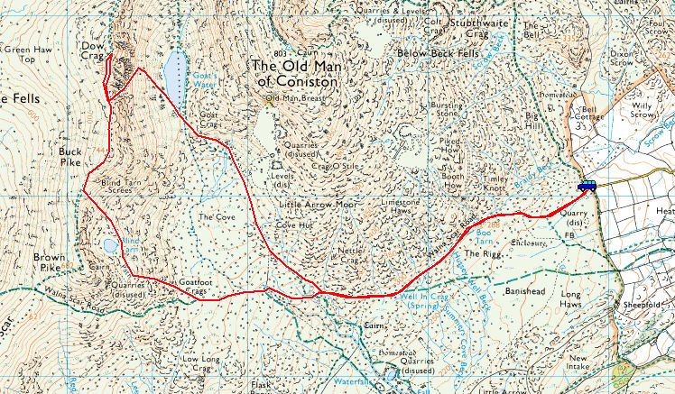
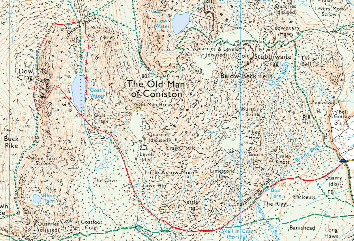
Start Point: Walna Scar road (SD 289 970)
Walna Scar car park – Coniston Old Man – Goat’s Hawse – Dow Crag – Buck Pike – Brown Pike – Walna Scar car park
Distance: 10.4 km Total Ascent: 700 metres Time Taken: 3 hours 50 minutes Start Time: 06:40
It was a case of getting a walk in on a decent weather day again between not so decent weather day! The days are drawing longer with sunrise now at 07:10 so at least I managed to get halfway up The Old Man before that time and even then the low cloud blocked it out for a short while. There was a reminder that we are still in winter with snow on the tops and a bitingly cold wind.
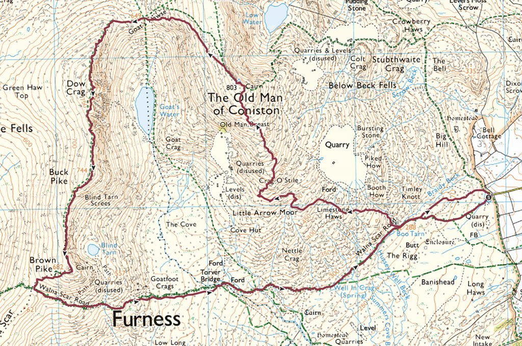
Note: Route map is for indication purposes of general direction only.

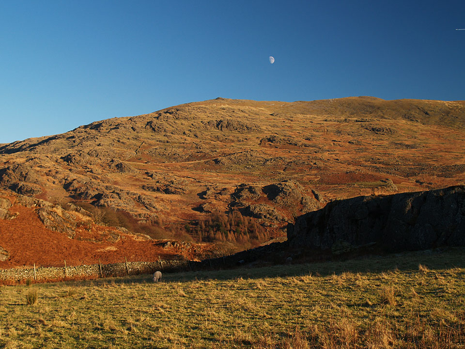
The setting moon.

There was lots of low cloud around blocking the light from the sunrise.

Fletcher watches as the light hits Walna Scar.

Gradually the sun started to break through during the climb up The Old Man.

Crepuscular rays...

...light up Coniston.

A sky of two halves.

Blue sky on the approach to The Old Man summit.

Fletcher. We sat with Angus, Casper and Dougal for a short while (they were our older fell walking Bearded Collie companions, their ashes were scattered here) before moving on. The wind was strong and icy now brrr.

Looking across Levers Water, there is a lot of cloud over the eastern fells and it looked as though there were snow showers fleeting through too.

It looked very similar to the north too and the Scafells were nowhere to be seen. Perhaps I struck lucky with this little south western corner of sunshine.

I was all allone on the frozen summit of Coniston Old Man.

The view over Brown Pike, Walna Scar and Black Combe.

Brim Fell and beyond.

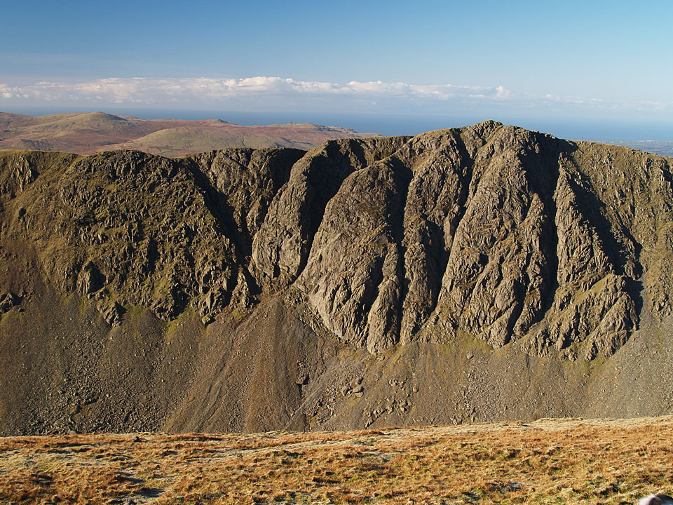
Dow Crag.

Barrow Offshore Windfarm visible today beyond Brown Pike.

Buck Pike and Black Combe.

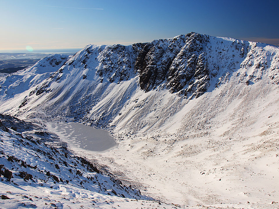
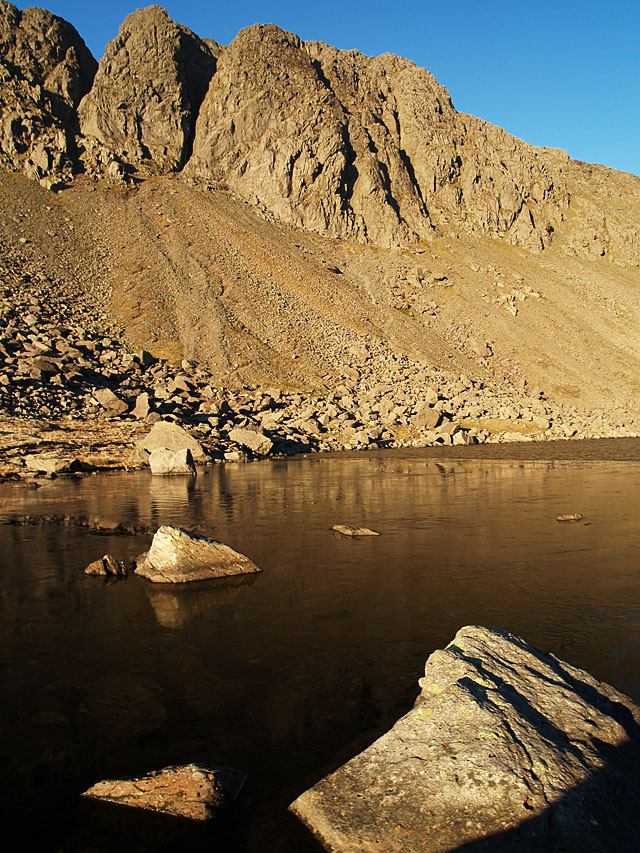
Dow Crag above Goat's Water.

Goat's Water from Goat's Hawse.

Swirl How and Great Carrs, looking back from the path to Dow Crag from Goat's Hawse.

A rare burst of sunlight;ight on Grey Friar.

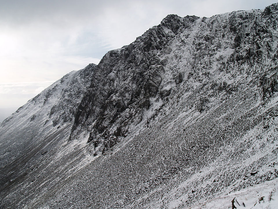
Dow Crag's rocky summit.

The south rake.

Looking back along the summit ridge.

...and again, further along.

Buck Pike summit cairn.

Brown Pike above Blind Tarn.

Patiently waiting (for a biscuit I expect!).

A view right through to the west Cumbrian coast, but I think Fletcher is sheep spotting.

Brown Pike summit.

'A shelter alongside the Walna Scar road, east of the pass , just big enough for one person or a honeymoon couple' A. Wainwright 'The Southern Fells' Dow Crag 4

Cove Bridge across Torver Beck.

Boo Tarn.


The animals went across one by one. There were lots of shepherd calls and whistles today with the sheep obediently obeying their masters commands.