Wythburn – Helvellyn – Nethermost Pike – High Crag – Dollywaggon Pike – Wythburn
Distance: 6.5 miles Total Ascent: 880 metres Time Taken: 4 hours Start Time: 06:55
Firstly, today is a celebration as it is 20 years today that the first walk was published on this website – 20 years! The first walks were actually in 2003 when I started recording summits on camera to keep a record of Wainwrights I had walked, as previously they were walked randomly and without any record. In January 2004 I got my act together, got a suitable domain name and published a few walks on 12th January 2004 (mainly looked at by me, it has to be said).The memory card on that camera could hold 6 photos hence the reason why there are so few photos on the early walk plus of course they took hours to upload via dial up!
Anyway, it has been a great journey, thanks for all the support over the years (including the lean years when the rest of life got in the way of fell walking) I have made some great friendships far and wide and I hope that plenty of you – the viewer – have too.
On with today’s walk – conditions appeared to look favourable for an inversion today but as you all know, you never can tell…

When I set off from Wythburn it was snowing. The snow got progressively worse as I climbed in the dark with a head torch on. I must admit, I did wonder whether it was worth carrying on as it didn't look very likely to get above the cloud today and perhaps I should turn back. Anyway, I persevered and plodded on...until suddenly the sky was lit up as in this photo!

A little bit further on and I knew it was going to be okay today...

...in fact more than okay.

The highest fells were indeed above the clouds - this is looking across to Bowfell and the Scafells, Great Gable on the right.

The path to Helvellyn, I think we have timed this right to get to the summit just before sunrise (08:30 sunrise time today).

First glimpse of dawn to the east.

Striding Edge.

Helvellyn sunrise.

I was surprised at how many people were up there today, I am more used to it being one man and his dog! Clearly everyone had heard how spectacular it was going to be today.

What a fantastic view to the north - this is my personal favourite of the day, I think the colours are fabulous. Can you spot the climber on Swirral Edge?

Catstycam.

Striding Edge sunrise.

There are 'wow' views every way.

Just stunning.

Striding Edge again.

Although it all looks frozen, it was surprisingly warm up here today and I ended up in shirt sleeves.

The sun has risen now, looking to the 'isle' of Blencathra

The Helvellyn ridge.

Helvellyn summit plateau and you can just make out Helvellyn's own Brocken Spectre in the distance. Two lads were sat at the trig column throughout the morning and never moved - call me old fashioned but I thought it was fell etiquette not to sit at the summit and to allow others their moment of topping out and to take photos etc - any thoughts?

Swirral Edge and Catstycam.

Some great morning colours today.

The shadow of Helvellyn and its Brocken Spectre.

Heading back along the summit plateau.

Great Gable to Pillar across the sea of cloud.

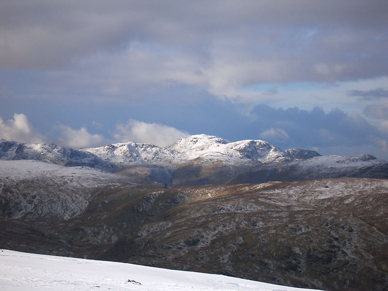
Bowfell and the Scafells.

Fletcher - a star!

The sun has fully risen now and it is a beautiful day.

You can just see someone on the highest point of Striding Edge.

Clouds below in Grisedale Valley.

What is he thinking?

Down below.

Heading for Nethermost Pike.

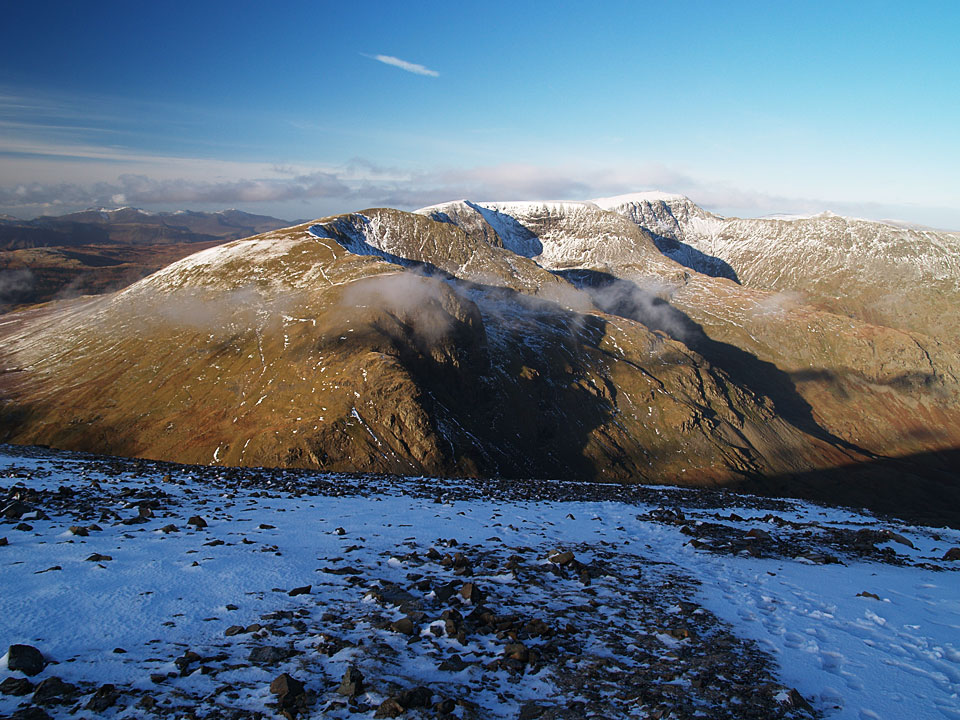
Helvellyn from the climb to Nethermost.

Nethermost Pike.

High Crag and Dollywaggon Pike next.


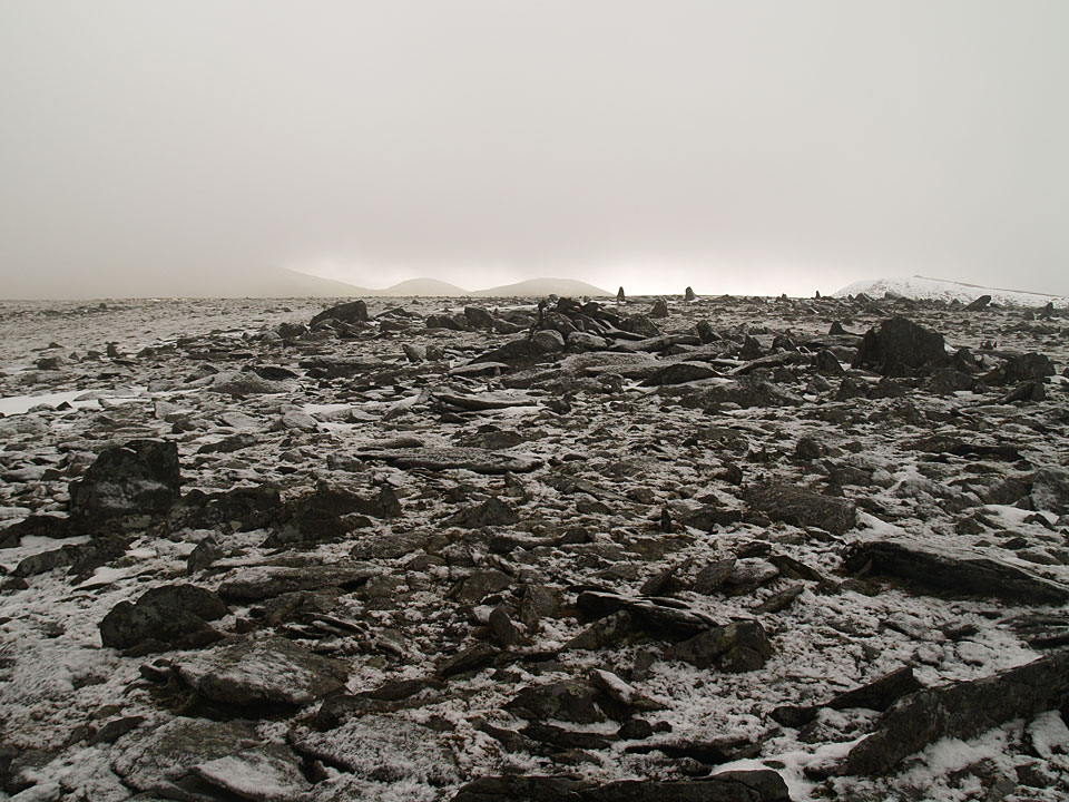
Frozen cairn.

High Crag.

Runners descending into the mist.

Dollywaggon Pike.

We had a coffee stop on Dollywaggon - I think we could have sat there all day it was so utterly beautiful.

Just one little biscuit?

A fog bow on the descent.