Striding Edge

A photo diary of Lake District fell walks

  • Walks
  • Fells
    • Wainwrights
      • Eastern Fells
      • Far Eastern Fells
      • Central Fells
      • Southern Fells
      • Northern Fells
      • North Western Fells
      • Western Fells
      • Outlying Fells
    • Birketts
  • Dogs
  • Love The Lakes
  • Contact

Pen

Height: 762 metres / 2500 feet Grid reference: NY 22155 06742
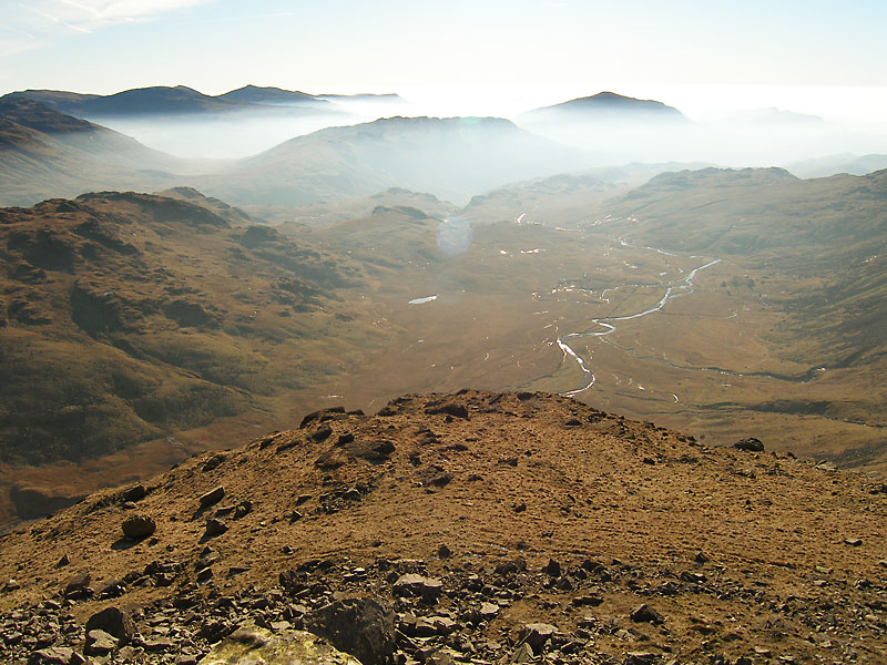
Pen is a subsidiary summit to Scafell Pike overlooking the Esk Valley to the south east

Pen is a subsidiary summit to Scafell Pike overlooking the Esk Valley to the south east

Scafell Pike via Pen

Walked on 11/06/2014

Start Point: Jubilee Bridge (NY 213 011)

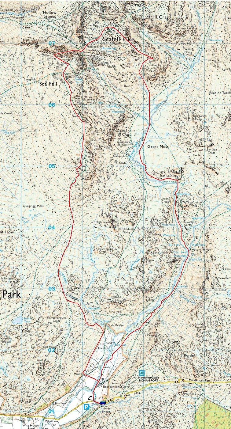
Brotherilkeld Farm – Lingcove Bridge – Great Moss – Pen – Scafell Pike – Mickledore – Lord’s Rake – Scafell – Slight Side – Catcove Beck – Brotherilkeld Farm

Distance: 10 miles     Total Ascent: 1178 metres     Time Taken: 7 hours     Start Time: 10:50

Weather: Murky, 16°C

I had a full day available today so I wanted to do a good long walk – I did think the weather would turn out better than it did but it was still good to be out and walking in mist has its own merits of complete solitude, even on the popular fells such as this.
Scafell Pike via Pen

OLYMPUS DIGITAL CAMERA

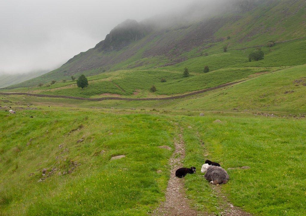
Heading into Upper Eskdale and the mist was lying quite low on the fells. I was hopeful of it getting out later.
OLYMPUS DIGITAL CAMERA

Walking alongside the River Esk. This is a lovely and peaceful part of the lakes in any weather.

OLYMPUS DIGITAL CAMERA

Cascades on the Esk.

OLYMPUS DIGITAL CAMERA

Lingcove Bridge.

OLYMPUS DIGITAL CAMERA

...and a view of the bridge from a little higher up the path to Great Moss.

OLYMPUS DIGITAL CAMERA

On the climb to Pen - the briefest glimpse of Scafell.

OLYMPUS DIGITAL CAMERA

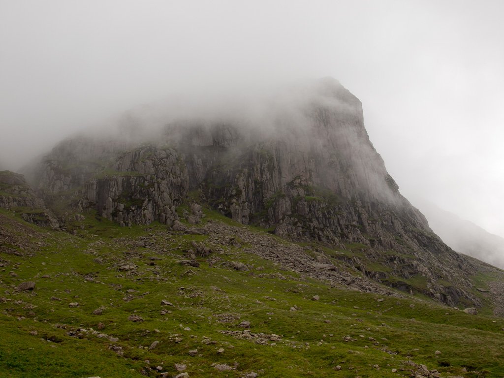
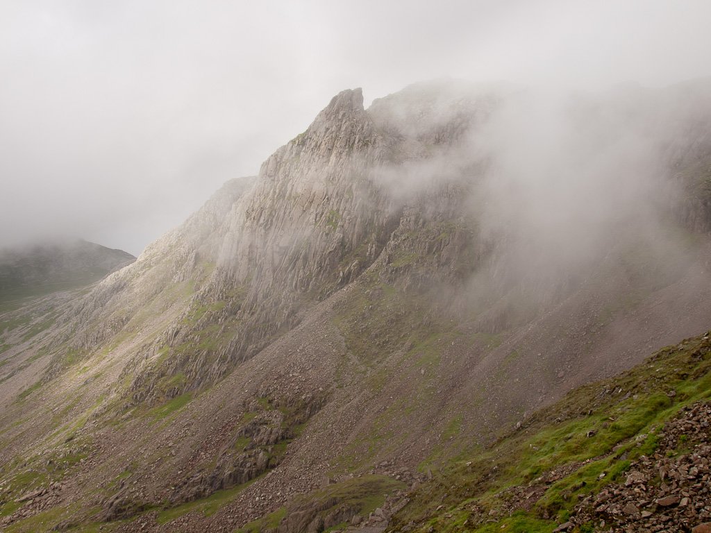
Esk Buttress - and that was it for views for a good while. I climbed the steep path to Pen (the top took a bit of finding as I could hardly see my hand in front of me!) then over to Scafell Pike.
OLYMPUS DIGITAL CAMERA

Heading down to Mickledore.

OLYMPUS DIGITAL CAMERA

Looking back to Scafell Pike - the blue sky did appear (if only fleetingly).

OLYMPUS DIGITAL CAMERA

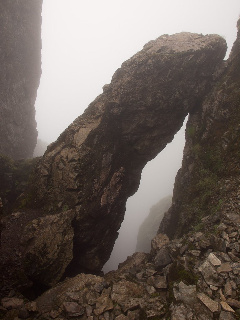
Pulpit Rock from the foot of Lord's Rake. I was surprised to see how much the path from Mickledore to Lord's Rake has eroded recently.
OLYMPUS DIGITAL CAMERA

Lord's Rake.

OLYMPUS DIGITAL CAMERA

The chock stone is still standing although there seems to be more large boulders around it. Up on Scafell it was as misty as it was on the Pike - I chatted for a while to a couple who were completing their 214 up there, congratulations to both.

OLYMPUS DIGITAL CAMERA

Dougal, my ever faithful friend.

OLYMPUS DIGITAL CAMERA

Looking back to Scafell from Long Green. There were lots of Brocken Spectres to see along here with the sun trying to shine through.

OLYMPUS DIGITAL CAMERA

Slight Side summit.

OLYMPUS DIGITAL CAMERA

Slight Side from the descent.

OLYMPUS DIGITAL CAMERA

Amazing how I can see Pen from here yet couldn't earlier when I was stood next to it!

OLYMPUS DIGITAL CAMERA

Slight Side again, from further down.

OLYMPUS DIGITAL CAMERA

I spy!

OLYMPUS DIGITAL CAMERA

Harter Fell across Brotherilkeld and it turned into a lovely evening.

Scafell Pike

Walked on 25/09/2008

Start point: Hardknott Pass (NY 231 014)

Hardknott Pass – Hard Knott – Lingcove Beck – Scar Lathing – Great Moss – Pen – Scafell Pike – Broadcrag Tarn – Cam Spout – Great Moss – Lingcove Beck – Hard Knott – Hardknott Pass

Distance: 9.3 miles     Total Ascent: 1240 metres     Time Taken: 5 hours 45 minutes

Weather: Overcast. 17ºC.

The weather certainly didn’t turn out as I expected with it being rather grey and I didn’t really know which route I would take until I did it. I must say it took longer than I thought and it was pretty arduous going at times over boggy ground coupled with a steep ascent and descent. It was still enjoyable though – this is my favourite area of all.
Scafell-Pike.jpg

25.09.08-005.jpg

Dawn at an un-named tarn on Hard Knott.

25.09.08-013.jpg

Sunrise over Wrynose Pass.

25.09.08-016.jpg

Esk Pike, Bowfell and Crinkle Crags from Hard Knott summit.

25.09.08-030.jpg

Heading into Upper Eskdale it all looks a bit gloomy and the cloud is starting to form on the tops.

25.09.08-042.jpg

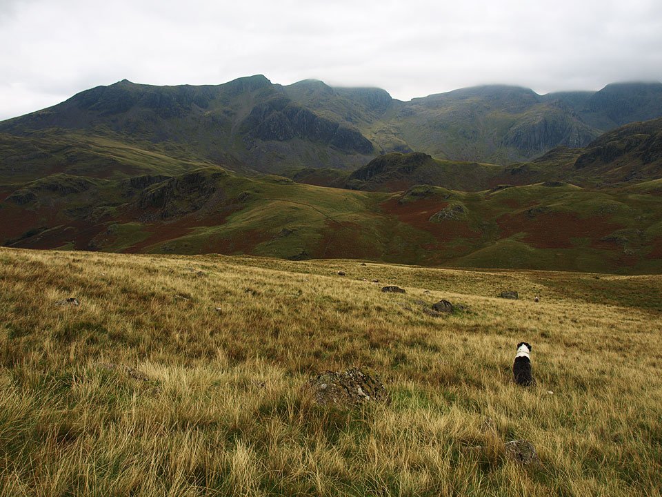
The Scafells ahead.

25.09.08-047.jpg

Bowfell and Crinkle Crags.

25.09.08-048.jpg

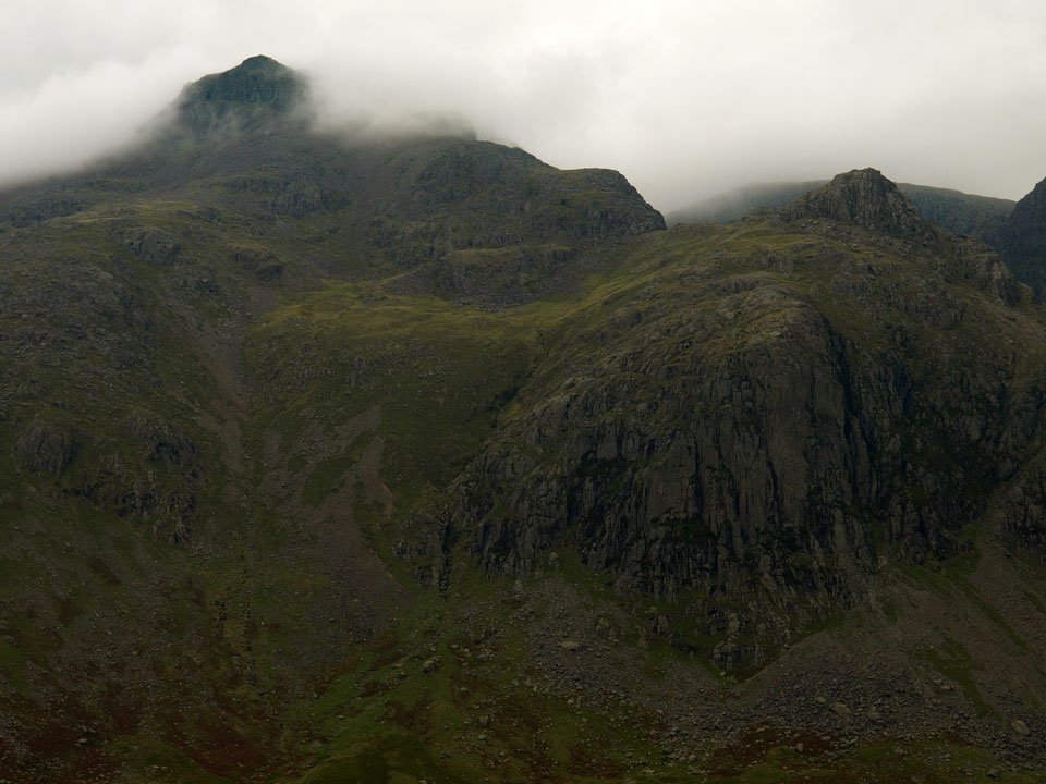
Slight Side and Scafell, hidden by cloud.

25.09.08-054.jpg

Bowfell.

25.09.08-062.jpg

Casper plans the route - there is a steep descent to cross Lingcove Beck then a steep climb again over the knolls in the middle distance.
25.09.08-076.jpg

Casper hides in the bracken shortly after the crossing of Lingcove Beck.

25.09.08-078.jpg

Lingcove Beck.

25.09.08-090.jpg

Slight Side and Scafell from Scar Lathing, Sampson's Stones on the mound beneath Cam Spout Crag.

25.09.08-094.jpg

Scafell Pike hidden by cloud with Ill Crag to the right.

25.09.08-100.jpg

Casper above Great Moss.

25.09.08-110.jpg

The cloud is clearing from Scafell Pike now. The peak to the right of Esk Buttress is Pen. Now, should I climb Pen or climb Little Narrowcove? In the end I decided on Pen and climbed following the gill to the left of Esk Buttress - which was steep to say the least!
25.09.08-125.jpg

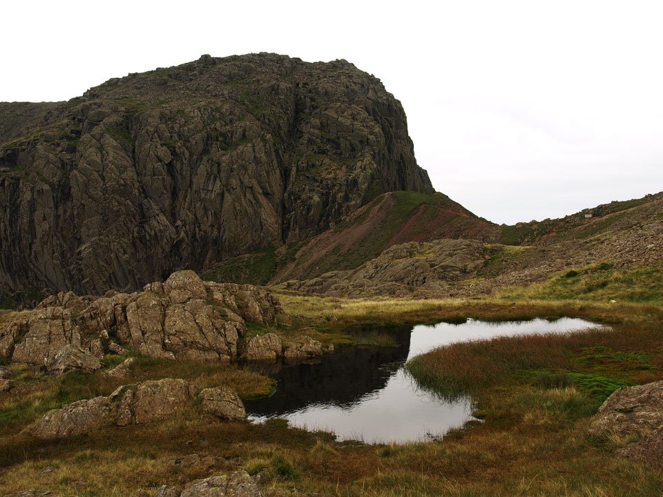
The Scafells reflected in a tarn on Great Moss.

25.09.08-128.jpg

Scafell.

25.09.08-132.jpg

Esk Pike at the head of Great Moss.

25.09.08-142.jpg

Great Moss from the climb to Pen, Hard Knott and Harter Fell in view.

25.09.08-159.jpg

Volcanic sedimentary layers on the summit of Pen.

25.09.08-161.jpg

25.09.08-164.jpg

The formidable East Buttress on Scafell.

25.09.08-168.jpg

The way to Scafell Pike from Pen.

25.09.08-195.jpg

Scafell, Broad Stand and Mickledore from the Eskdale Cairn on Scafell Pike.

25.09.08-201.jpg

Pillar, Kirk Fell, Great Gable and beyond from the summit Scafell Pike.

25.09.08-204.jpg

Looking over Styhead Tarn to Derwent Water, Skiddaw and the northern fells.

25.09.08-208.jpg

The eastern fells beyond the Scafell ridge.

25.09.08-219.jpg

Broad Stand from Broadcrag Tarn - the highest tarn in the Lake District at 827m according to Wainwright and Birkett...but my mapping software shows Foxes tarn at 837m and Crinkle Crags Tarn (near the summit of Long Top, un-named on the OS map) at 854m. Now, should I climb Lord's Rake and climb Scafell or descend Cam Spout? Oops, look at the time - lets go!

25.09.08-235.jpg

Descending the Cam Spout path.

25.09.08-256.jpg

Upper Eskdale from the descent by Cam Spout, which was a mere trickle today.

25.09.08-258.jpg

Looking back to Cam Spout and Scafell.

25.09.08-271.jpg

The aforementioned Long Top.

25.09.08-274.jpg

I don't believe it! (to coin a phrase) - sunshine on Great Moss.

Scafell Pike

Walked on 30/01/2006

Start point: Brotherilkeld, car park at the bottom of Hardknott Pass (NY 214 011)

Brotherilkeld Farm – Lingcove Bridge – Great Moss – Little Narrowcove – Pen  (448) – Scafell Pike – Mickledore – Lord’s Rake – West Wall Traverse – Scafell – Slight Side (449) – Catcove Beck – Brotherilkeld Farm

Distance: 12.2 miles     Total Ascent: 1327 metres     Time Taken: 5 hours 45 minutes

Weather: Very cold at valley level -4°C. Once into the sunshine it was just like a summer’s day – shirt sleeves all the way!

The weather turned out even better than I was expecting today – I thought it would be clear, but it was unbelievably so and very warm with a temperature inversion to boot! I have been ‘saving’ this walk for a while which includes a steep scramble up to Pen, a subsidiary summit of Scafell Pike, and the scrambles of Lord’s Rake and the West Wall Traverse. It is for this reason that the walk had to be Angus-less; he would never have managed it today. As it turned out, it was one of the most memorable days I have ever had in the fells – one to remember. I make no apologies for the number of photos included in today’s walk – there could have been lots more, it was so hard to weed them out. I hope you enjoy it as much as I did.
01 Scafell Pike

30.01.06-002

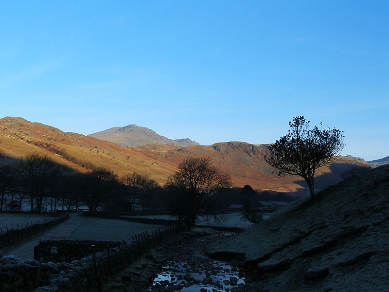
Scafell at the head of Upper Eskdale from Brotherilkeld. The cold, dark valley contrasts with the sunlit higher slopes.
30.01.06-006

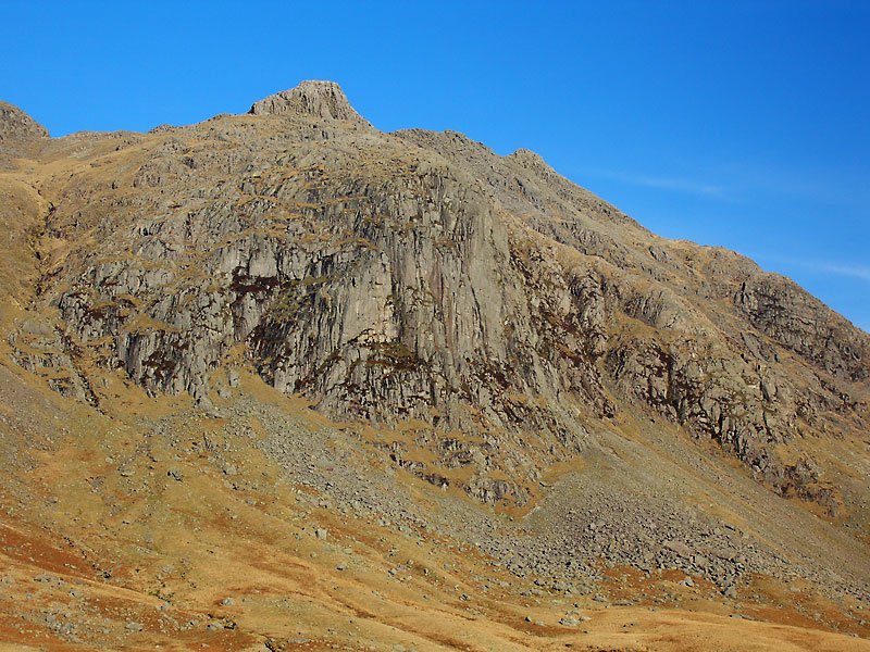
Still in the cold Esk Valley - Bow Fell and the Crinkle Crags catch the early sun.

30.01.06-010

The River Esk.

30.01.06-012

Lingcove Bridge, an old packhorse bridge.

30.01.06-014

Further up the River Esk. River Esk movie clip.

30.01.06-018

Scafell Pike, England's highest.

30.01.06-021

Slight Side and Scafell along a part frozen River Esk.

30.01.06-025

Scafell Pike and Ill Crag across Great Moss. The sound of silence - Great Moss movie clip.

30.01.06-030

Looking to Esk Hause along Great Moss, Esk Pike to the right.

30.01.06-033

Esk Buttress with the rocky peak of Pen, the first target of the day. How the heck are you supposed to get up there?
30.01.06-035

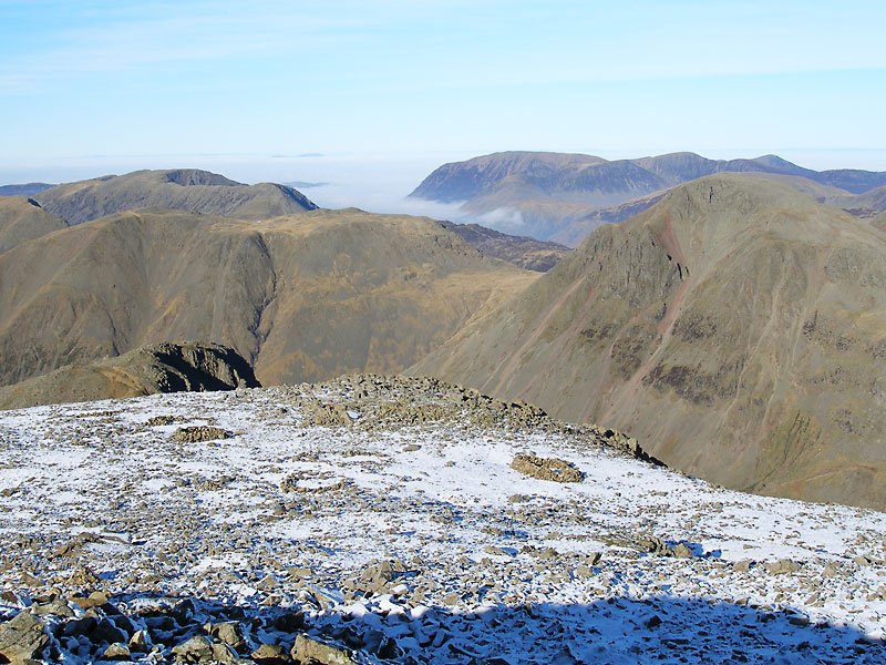
Cam Spout Crag, Cam Spout waterfall and Scafell.

30.01.06-039

Esk Pike from the ascent of Pen.

30.01.06-042

Icicles on Pen; things were happening in the valleys now.

30.01.06-046

Looking south to Harter Fell and the Coniston fells.

30.01.06-051

The River Esk and Great Moss below Pen with a nice temperature inversion to the south.

30.01.06-059

The way ahead: Scafell Pike from Pen.

30.01.06-060

At the top of Little Narrowcove.

30.01.06-062

Looking north to an inverted Ennerdale with Mellbreak and the Loweswater fells showing through the cloud. Great Gable is in the foreground on the right.
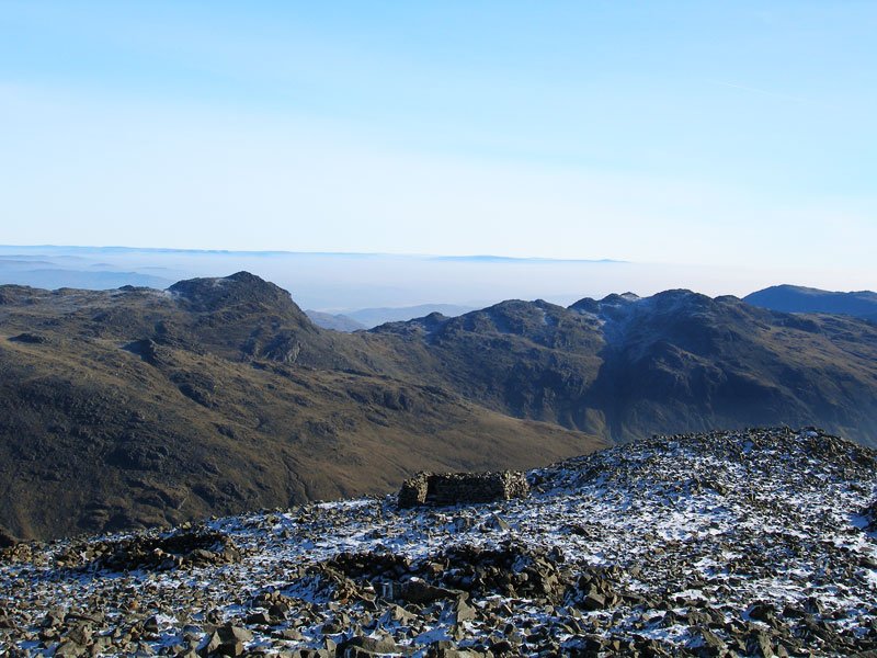
30.01.06-063

Looking over Styhead Tarn to Skiddaw and Blencathra.

30.01.06-064

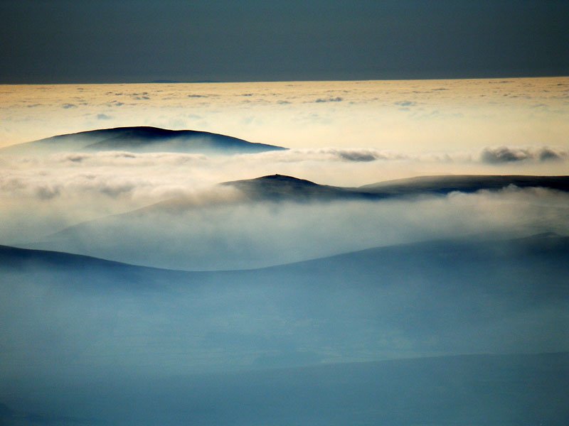
The valleys to the east are inverted as far away as Ingleborough and Whernside in the Yorkshire Dales.
30.01.06-065

A panoramic view of the eastern fells from Scafell Pike.

OLYMPUS DIGITAL CAMERA

Select on the image above to see a larger, annotated version.

30.01.06-067

Looking south-west to Harter Fell.

30.01.06-069

Pillar above Mosedale.

30.01.06-074

A panoramic view to the north-west from Scafell Pike.

30.01.06-076

A close up of Ennerdale; the view extends to Scotland behind the Loweswater fells.

30.01.06-077

Skiddaw.

30.01.06-079

Whitfell with the cairn visible and Black Combe beyond. North Wales is on the horizon over the sea of cloud.

30.01.06-084

The Pillar group of fells in golden light from Mickledore.

30.01.06-086

Lord's Rake; the fallen stone is still there at the top.

30.01.06-088

...and here it is.

30.01.06-089

Looking back down Lord's Rake.

30.01.06-091

At the start of the West Wall Traverse.

30.01.06-096

Looking down the steep scree slope.

30.01.06-097

The West Wall Traverse from the top.

30.01.06-099

Looking down on Wast Water from Sca Fell; Illgill Head is on the left, Middle Fell right.

30.01.06-101

Looking across to Scafell Pike from Scafell with Great Gable centre with the High Stile range and Skiddaw beyond.

30.01.06-105

Still there - Whitfell and Black Combe.

30.01.06-108

The Scafell range from Slight Side.

30.01.06-120

Slight Side from Catcove Beck.

30.01.06-128

Border End and Hard Knott across Upper Eskdale.

30.01.06-130

Scale Gill falls.

Walking Diary

  • The Mosedale Horseshoe 01/03/2022
  • Caw 18/01/2022
  • Coniston sunset 17/01/2022
  • Blencathra 15/01/2022
  • Scafell Pike 14/01/2022

Social

  • Facebook
  • Twitter

Information

  • Striding Edge
  • T&C’s
  • Privacy
  • Links