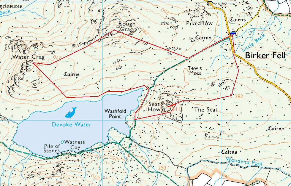
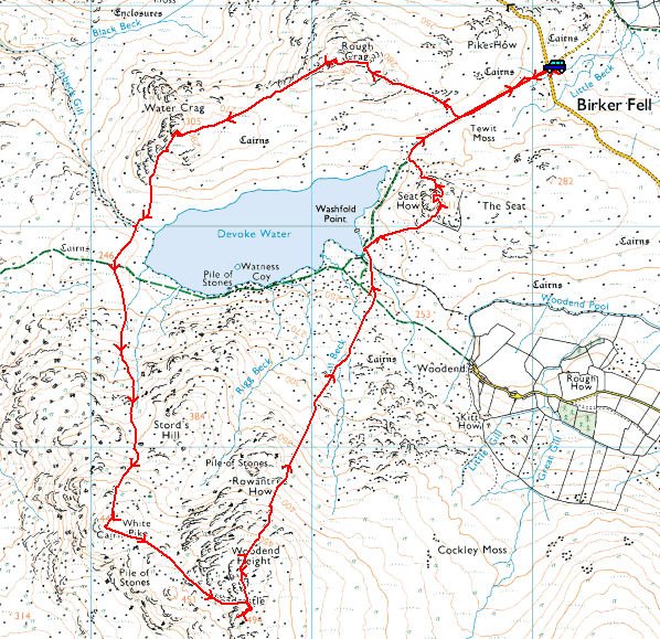
Start point: Birker Fell road (SD 171 977)
Birker Fell Road – Rough Crag (Birker Moor) (OF) – Water Crag (OF) – White Pike on Birkby Fell (OF) – Yoadcastle (OF) – Woodend Height (OF)– Seat How (Birker Moor) (OF) – Birker Fell Road
Distance: 5.4 miles Total Ascent: 686 metres Time Taken: 2 hours
Weather: Cloudy but warm. 17oC.
It’s a long time since I completed this circuit (8 years!) but I quite fancied it today – the going is relatively easy and it is certainly quiet with decent views all around. This one comes well recommended…
Firtsly, the Tour of Britain cycle race visited Cumbria on Thursday 10th September so it seemed rude not to visit – we actually saw it in two places, the climb from Plumpton and then later on the climb from Langwathby. Excellent weather for an excellent afternoon’s viewing.

Here come the leaders.

The Sky train.

Sir Bradley leads the peloton. On with today's walk...

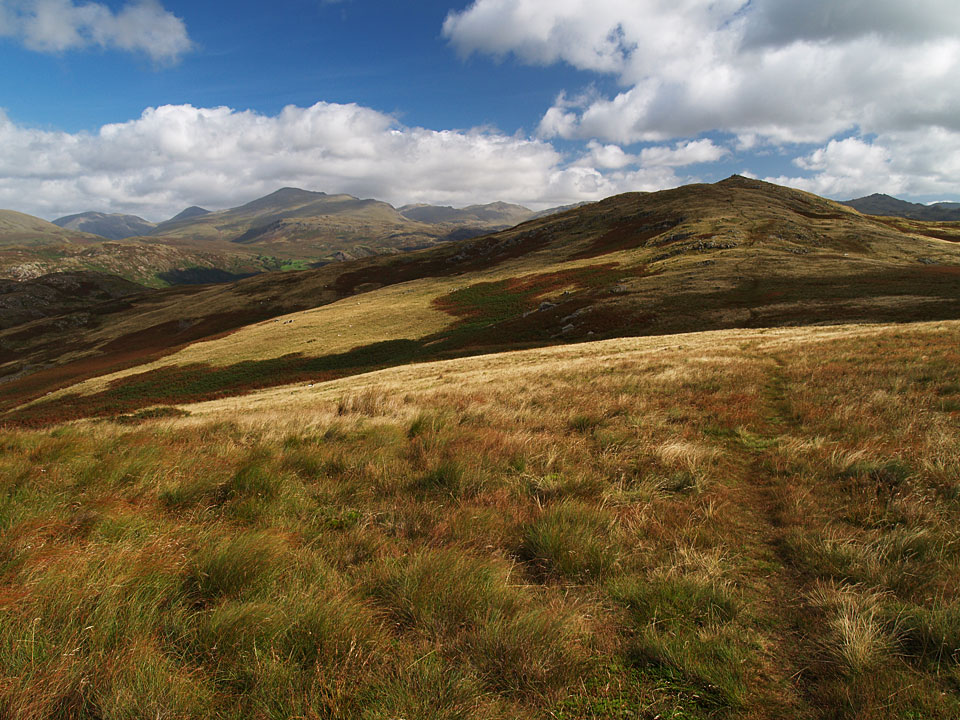
Heading for Rough Crag.

Sunlight on Devoke Water, beyond is Woodend Height.

On Rough Crag.

Looking towards Water Crag, the next port of call.

There was an ear raising breeze on the top.

Looking back to Rough Crag.

Seat How with Harter Fell beyond.

A panorama of Devoke Water.

White Pike summit looking out to the coast.

The view from Yoadcastle...

...and from nearby Woodend Height.

The boathouse with Rough Crag beyond.

The wind is picking up as shown by the ripples across Devoke Water, photo from Seat How.

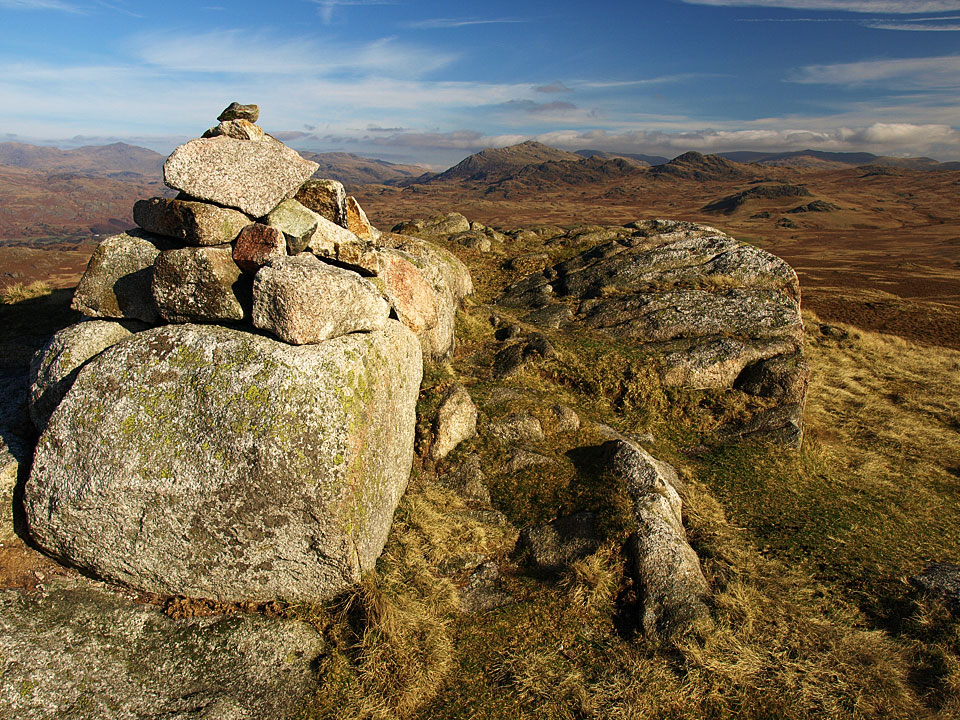
The cairn on Seat How.