Height: 516 metres / 1693 feet Grid reference: NY 43653 03983 Category: The Far Eastern Fells
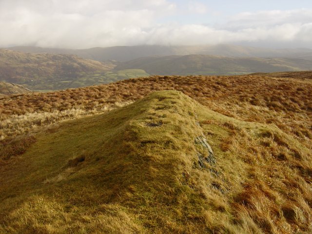
Sallows summit mound
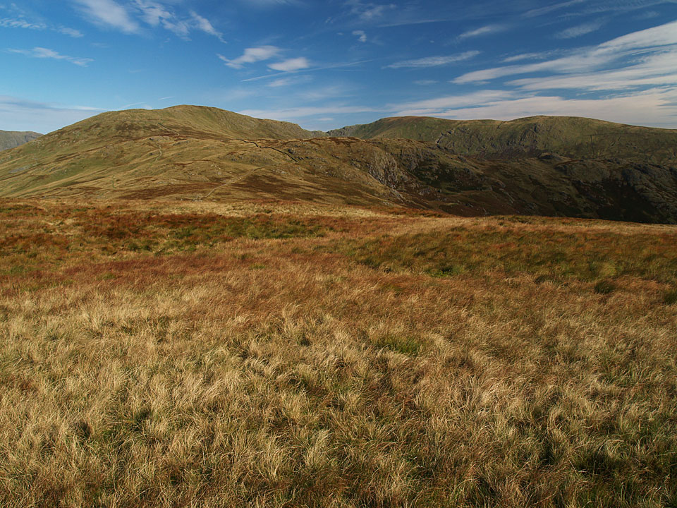
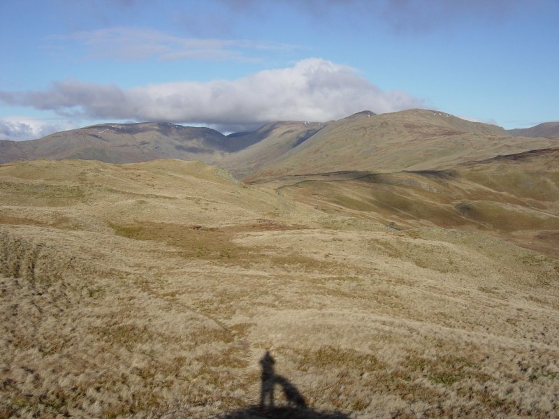
The Kentmere Horseshoe fells from Sallows
 Heading for Sallows from Sour Howes.
Height: 516 metres / 1693 feet Grid reference: NY 43653 03983 Category: The Far Eastern Fells

Sallows summit mound

The Kentmere Horseshoe fells from Sallows
 Heading for Sallows from Sour Howes.
Walked on
Start point: Troutbeck (NY 413 028)
Troutbeck – Garburn Road – Sour Howes – Moor Head – Sallows – Garburn Road – Troutbeck
Distance: 4.7 miles Total Ascent: 434 metres Time Taken: 2 hours
Weather: Showers, clearing. 8oC
Hopefully, everything is returning to normal for most in the Lake District whilst further north at Cockermouth and Workington, things will take a little longer to straighten out. We walked a couple of the smaller Far Eastern fells today, Sour Howes and Sallows. We started the walk in the rain but surprisingly it brightened up towards the end of it and there was even a sprinkling of snow visible across on the western fells.
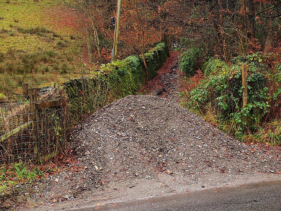
First we had to scale this new Lake District summit at the foot of the Garburn Road! This pile of shale was washed down from the track across the road last week. The Garburn Road was deeply rutted making going (especially in descent) a bit tricky at times.
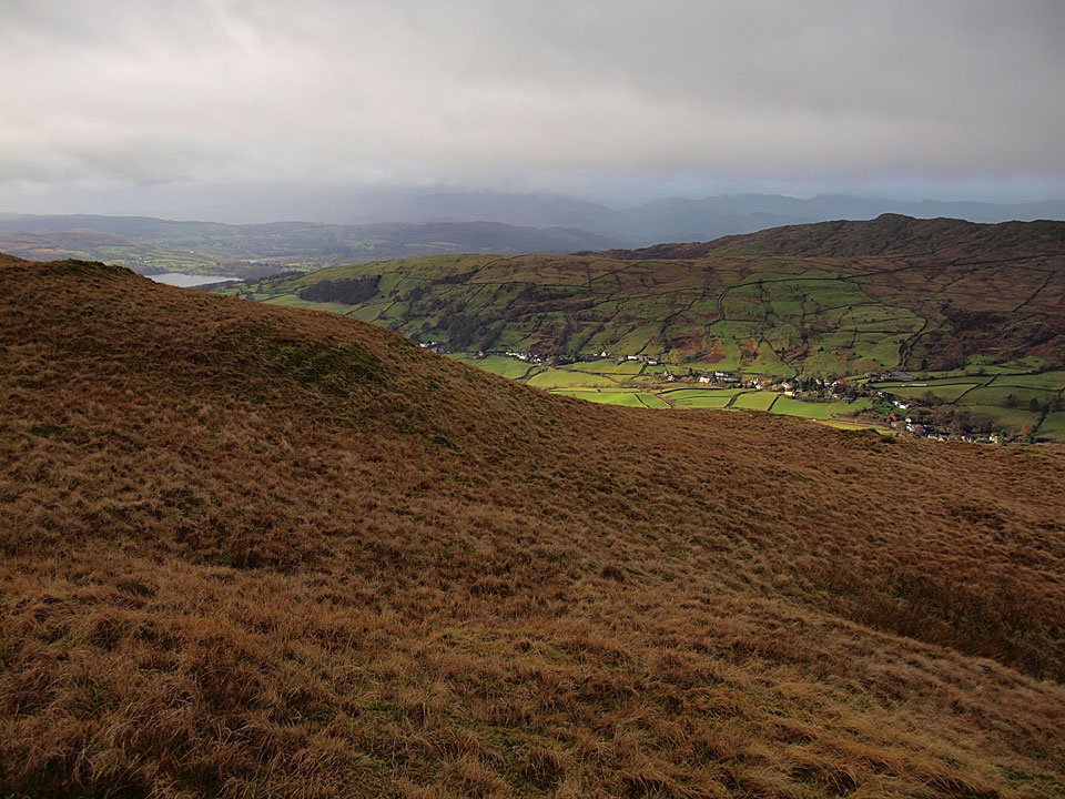
Miraculously, Troutbeck is bathed in sunshine below while beyond the ominous clouds are hanging over the western fells.
Walked on
Start point: Troutbeck (NY 413 028)
Troutbeck – Garburn Road – Sour Howes – Capple Howe (515) – Moor Head – Sallows – Garburn Road – Troutbeck
Distance: 5.2 miles Total Ascent: 470 metres Time Taken: 2 hours
Weather: Clear and cool. 12oC.
After a dull start it eventually turned sunny and bright but it was so cold this morning. A step change I thought and Autumn is most definitely upon us now. This is quite a gentle walk and I managed to pick up a Birkett straggler – one that I had somehow managed to miss previously. I don’t know what has happened to the cairn on Sour Howes, somehow it has completely disappeared without trace.
Walked on
Start point: Troutbeck (NY 413 028)
Troutbeck – Garburn Road – Backstone Barrow – Sour Howes (283) – Sallows (284) – Garburn Road – Troutbeck
Weather: Clearing throughout the walk, ending with sunshine and blue skies!
Today’s walk is a short round from Troutbeck to two tops on Applethwaite Common, namely Sour Howes and Sallows. The weather started clearing almost as soon as I set off after initially being rather overcast…hooray! There are superb views along almost the whole length of Windermere and along Troutbeck Park throughout the walk.
Caudale Moor and the Kentmere Pikes from Sour Howes. The wall running from the centre up to the right leads to Sallows.
Walked on
Troutbeck Church – The Howe – Sour Howes (162) – Sallows (163) – Hagg Gill – Troutbeck Park- Troutbeck Tongue (164) – Ing – Town Head – Troutbeck – Nanny Lane – Wansfell (165) – Nanny Lane – Troutbeck – Troutbeck Church
A fine day with some low lying cloud.
