Height: 931 metres / 3054 feet Grid reference: NY 26040 29085 Category: The Northern Fells
Skiddaw is the fourth highest fell in the Lake District and one of four that stand over 3000 feet.
Winter on Skiddaw summit
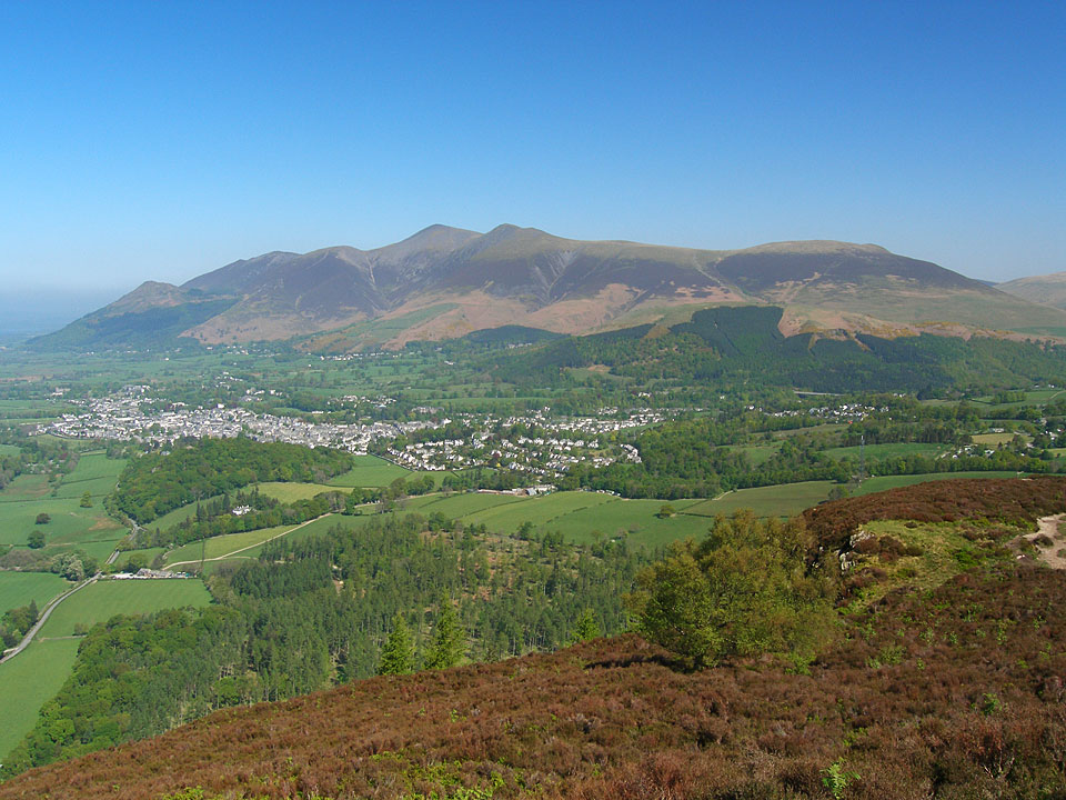
Skiddaw and Keswick from Walla Crag
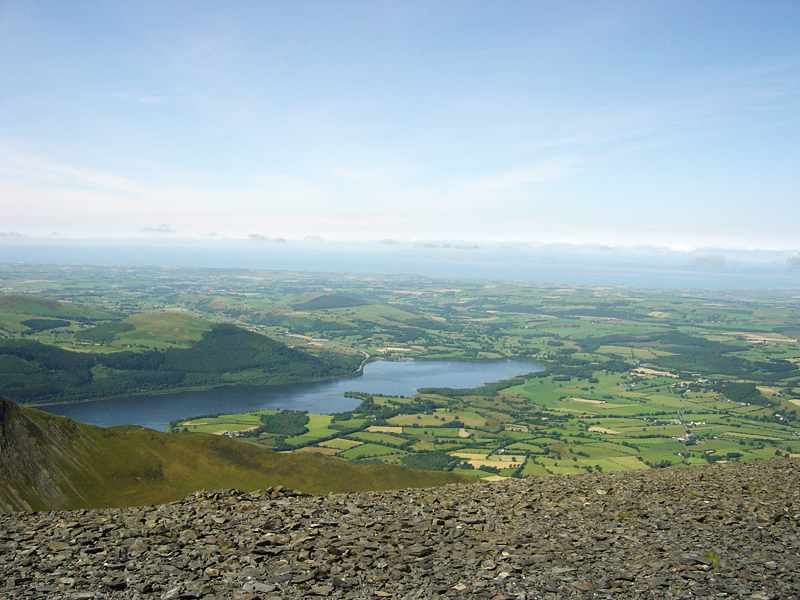
Bassenthwaite Lake and Sale Fell from Skiddaw
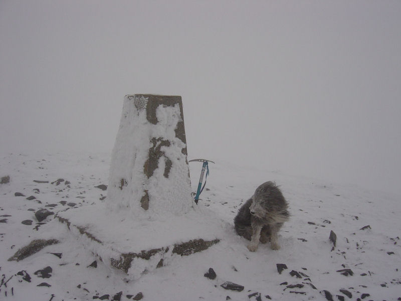
White Out on Skiddaw
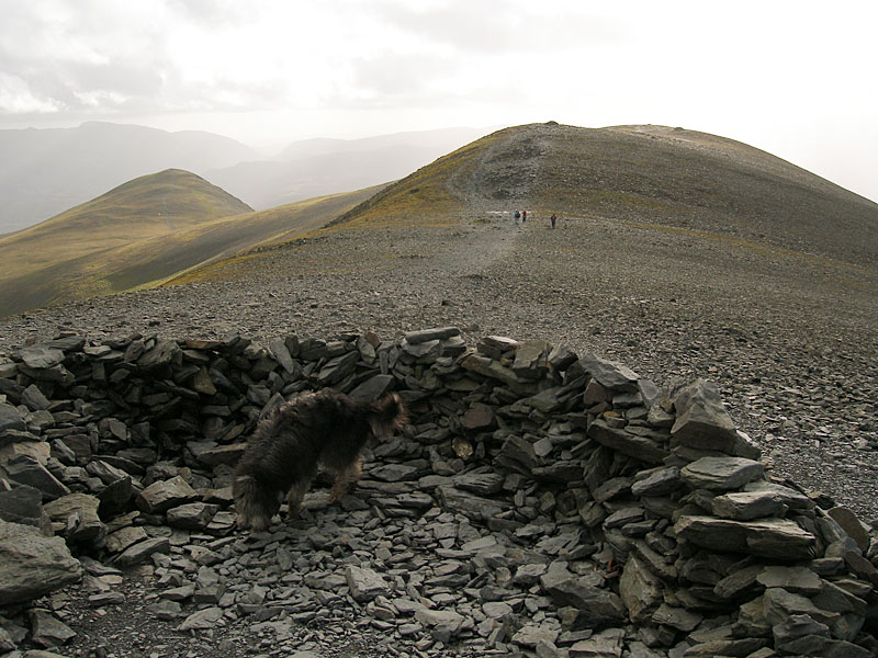
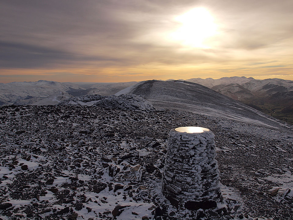
Looking back along the summit ridge
as well as the main top of Skiddaw (High Man), Birkett lists four others:
South Top Height 925 metres/3034 feet NY 26049 28544
Middle Top Height 928 metres/3044 feet NY 26068 28829
North Top Height 922 metres/3024 feet NY 26085 29332
Broad End Height 831 metres/2726 feet NY 26094 29845


