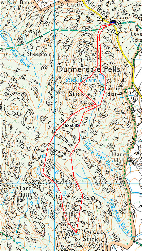
Start Point: Kiln Bank Cross (SD 215 933)
Kiln Bank Cross – Stickle Tarn – Great Stickle (OF) – Tarn Hill (OF) – Stickle Pike (OF) – Kiln Bank Cross
Start Time: 09:50
Partly Cloudy
Temperature 11 ℃
Feels like 11 ℃
Wind Speed 11.7 mi/h
Wind Direction WSW
Humidity 83%
It was sunny at home this morning but further inland over the Lakeland fells there was lots of low lying cloud. The only place with any light it seemed was the south-western corner and even that was looking a bit hit and miss. It is always an enjoyable and relatively easy round at Dunnerdale. The clouds were scooting through all the time and it was pretty breezy up on the tops. At least it was a chance for Dougal to get out again!

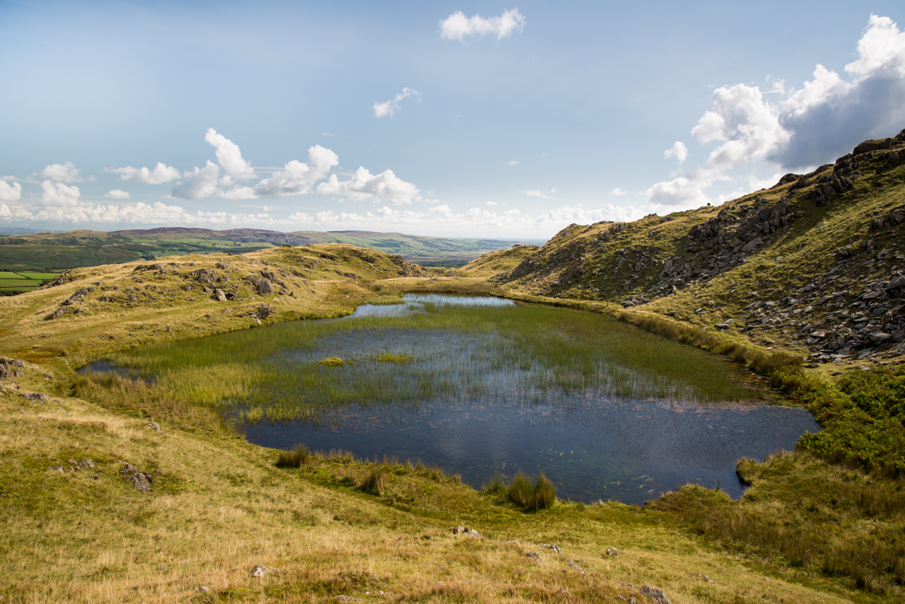
Up at Stickle Tarn - spot the Dougal? (and Fletcher!)

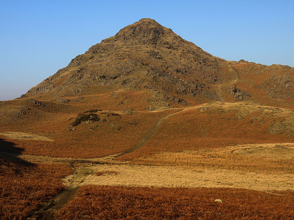
Stickle Pike - this would be the last time the top was fully out of the clouds.

Fletcher on the path to Great Stickle.

looking back to Stickle Pike.

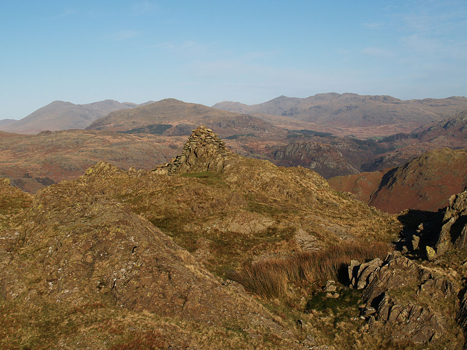
On the Great Stickle ridge with the prominent trig.column ahead.

Show me the light. Drama over Broughton.

Looking down to the Duddon Estuary.

Sing Dougal, let them all know you are here!

The cloud has moved in from Tarn Hill summit.

Fletcher looking distinctly unimpressed with the windy conditions!

Back to Stickle Pike.

If anything there is even more cloud now climbing to Stickle Pike. I bumped into one of Connie's old teachers here, the only person I met all day so we stopped and chewed the fat about the good old days (when we used to work for a living!). The path to Stickle Pike is a great groove up the fellside but in my memory it was always a thing path in the grass.

Nothing to see here - Stickle Pike.