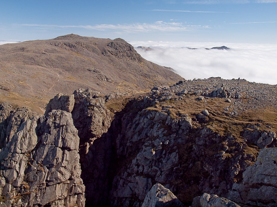
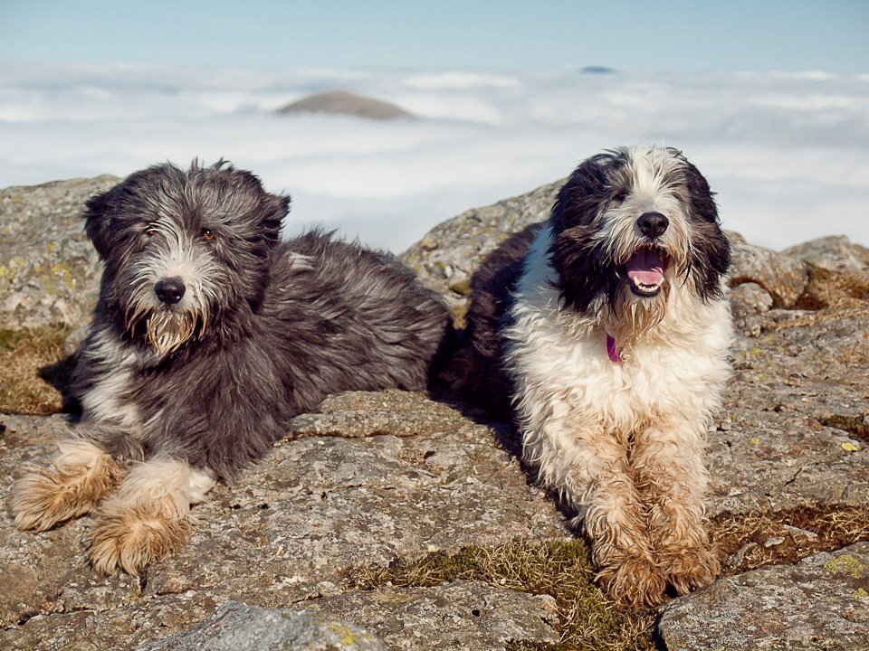
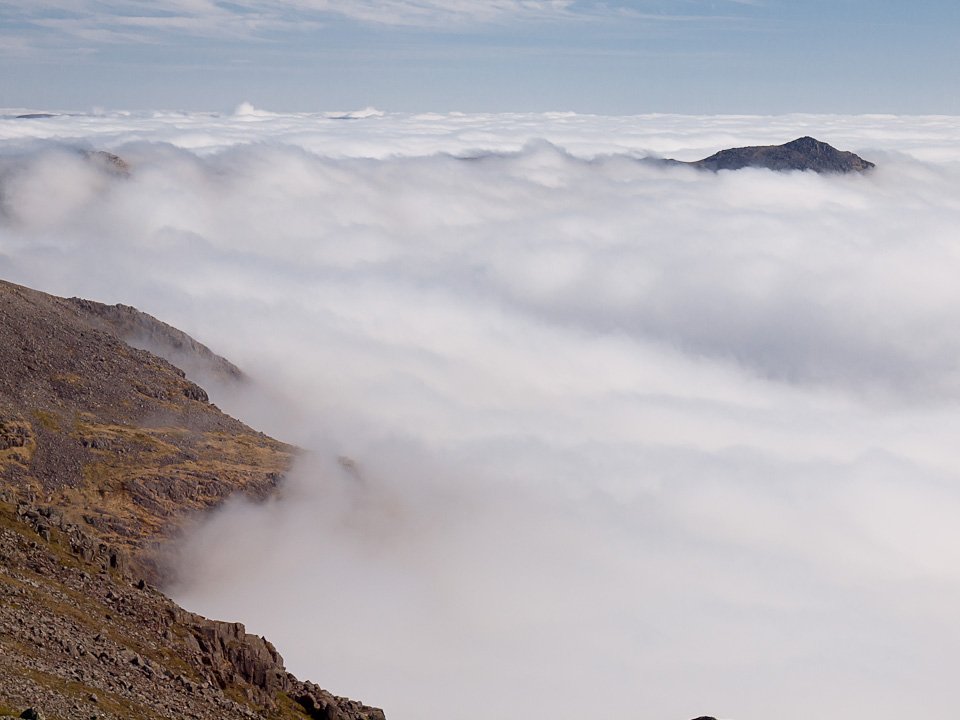
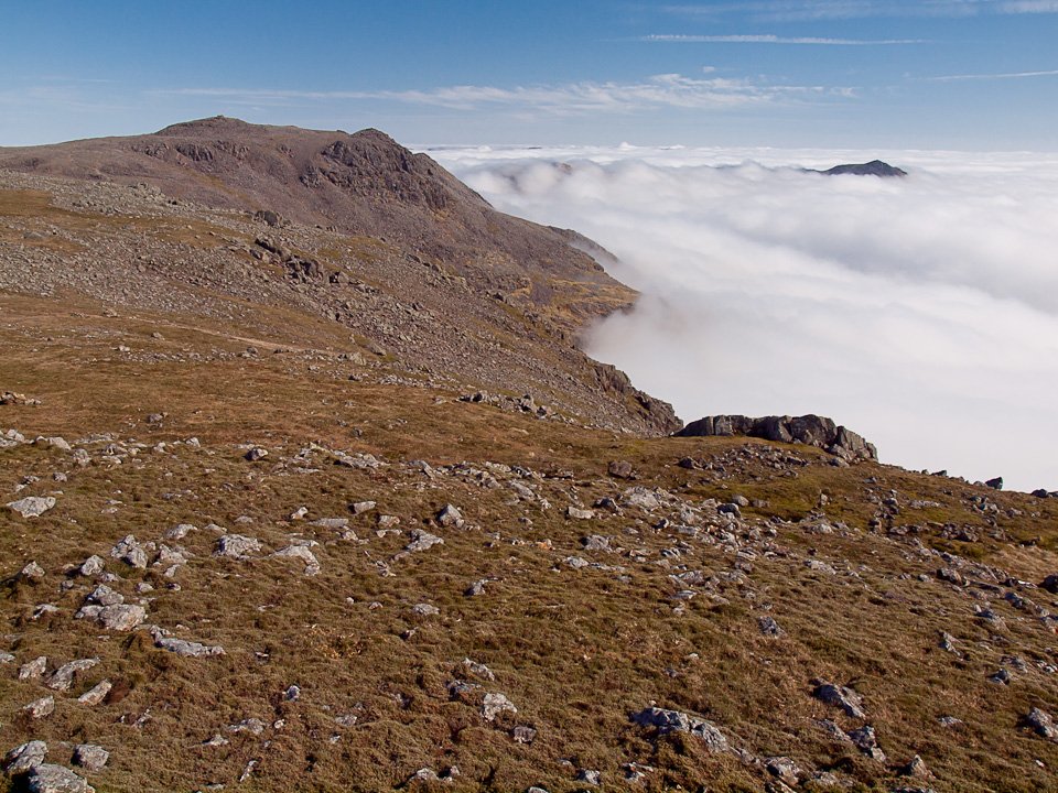
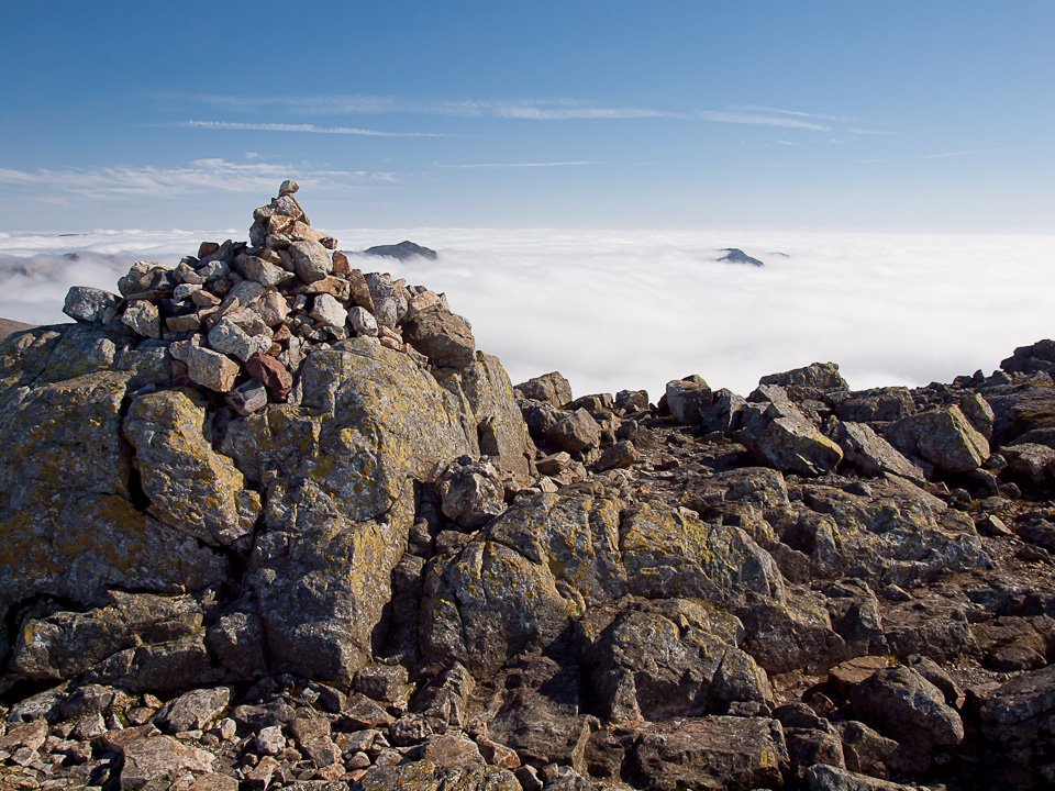
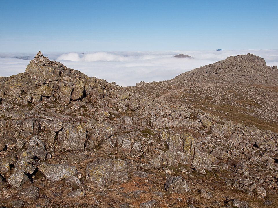
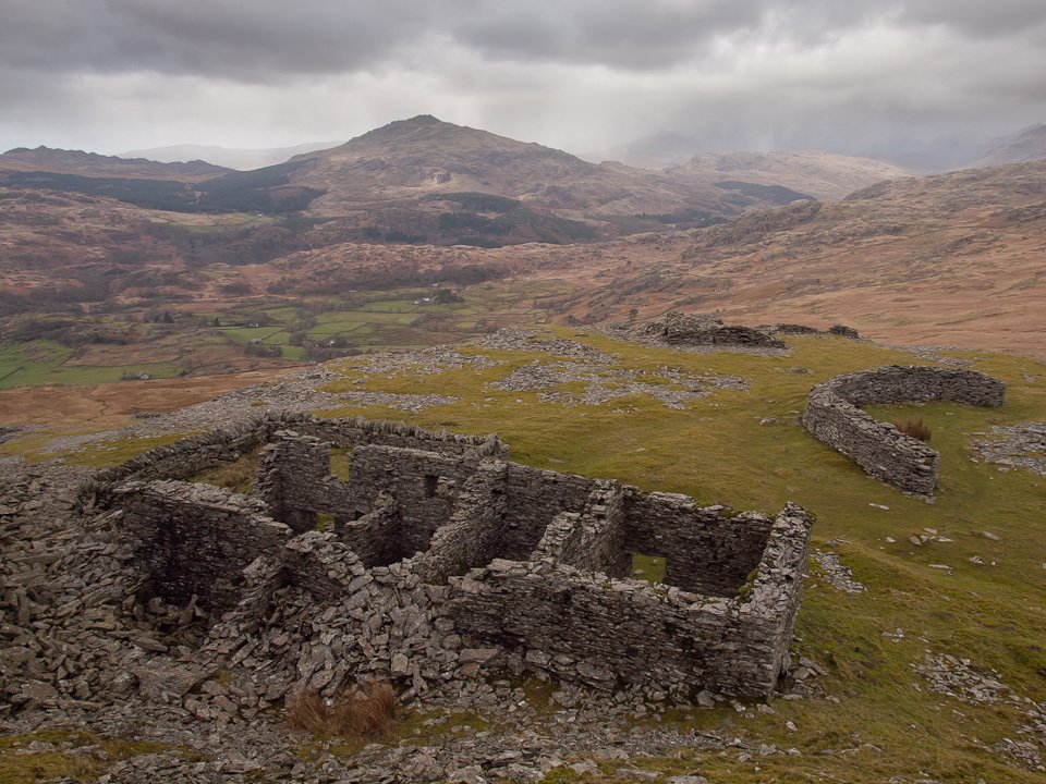
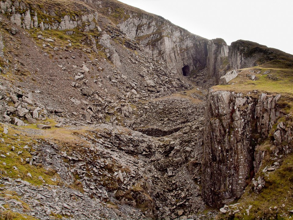
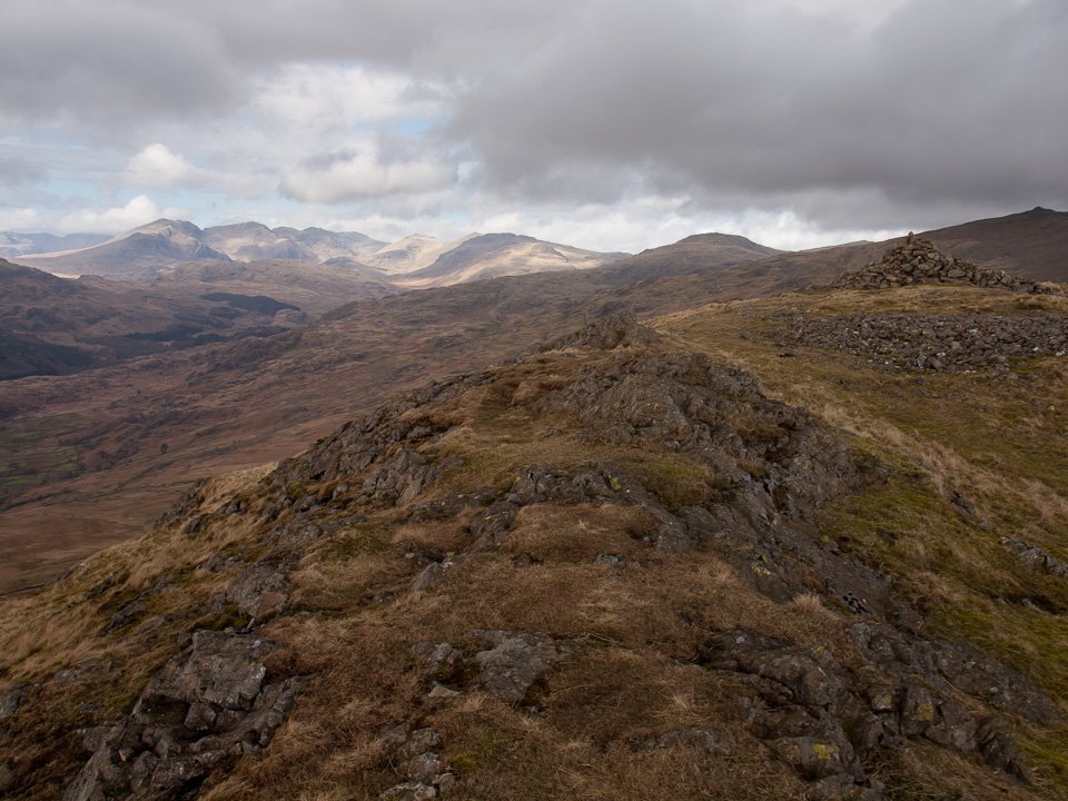
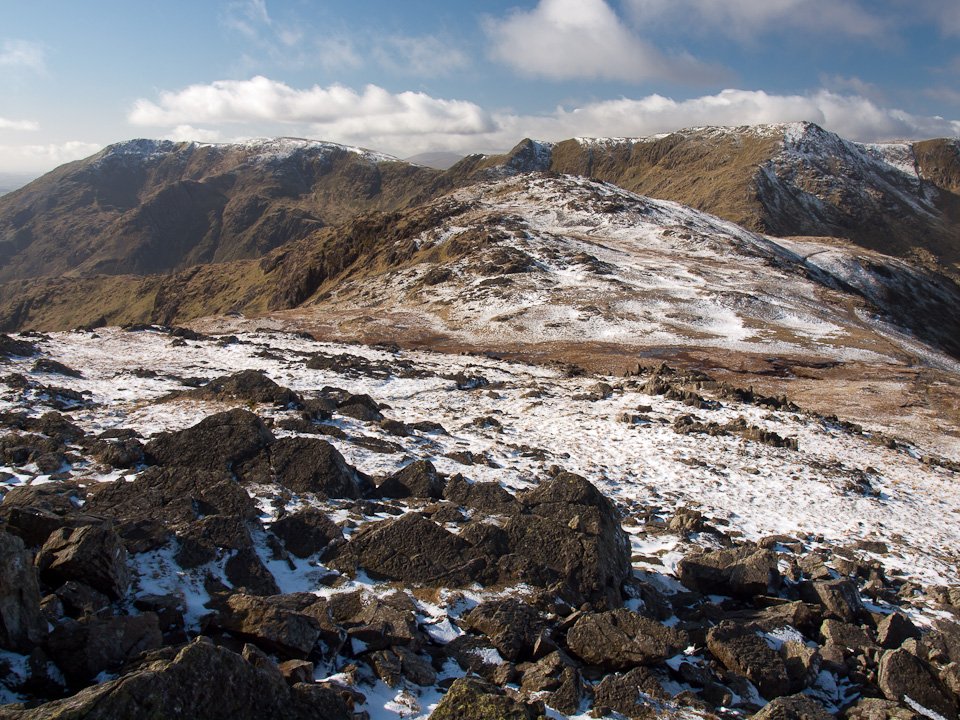
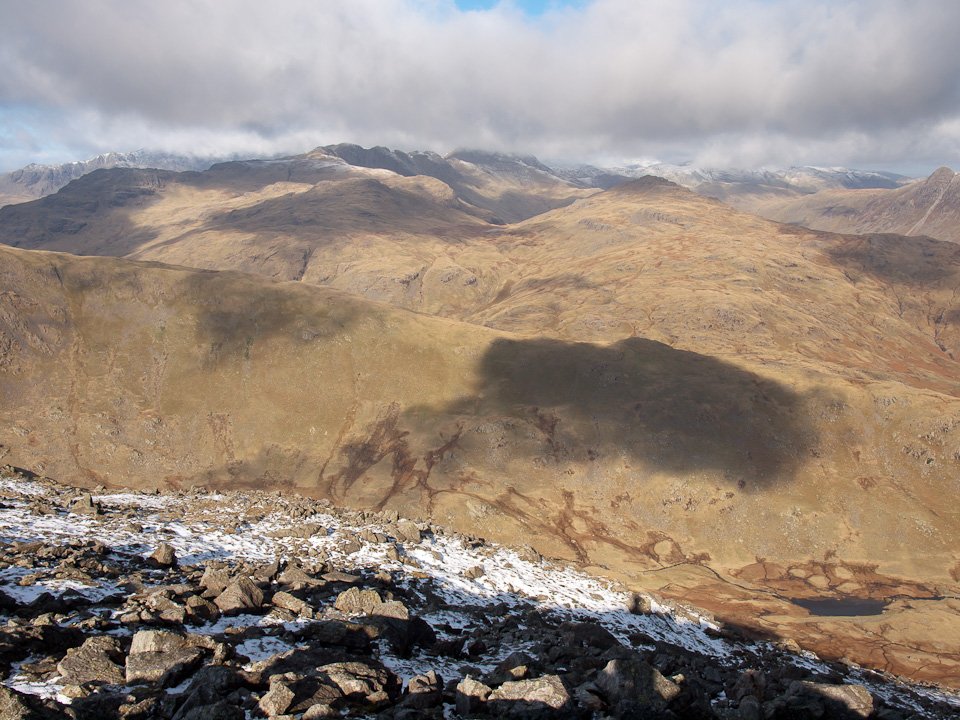
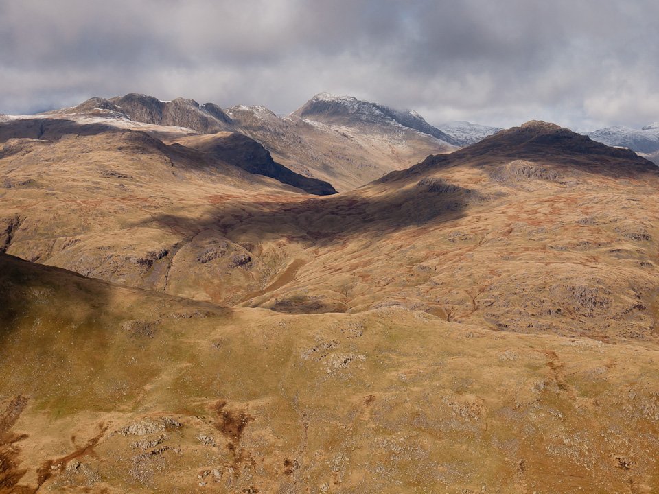
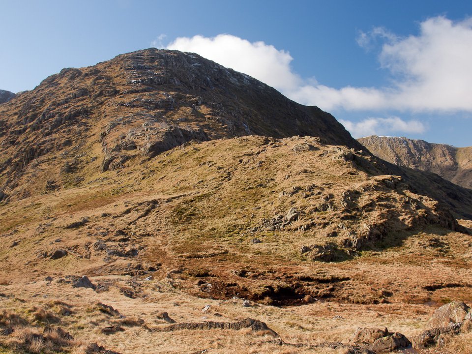
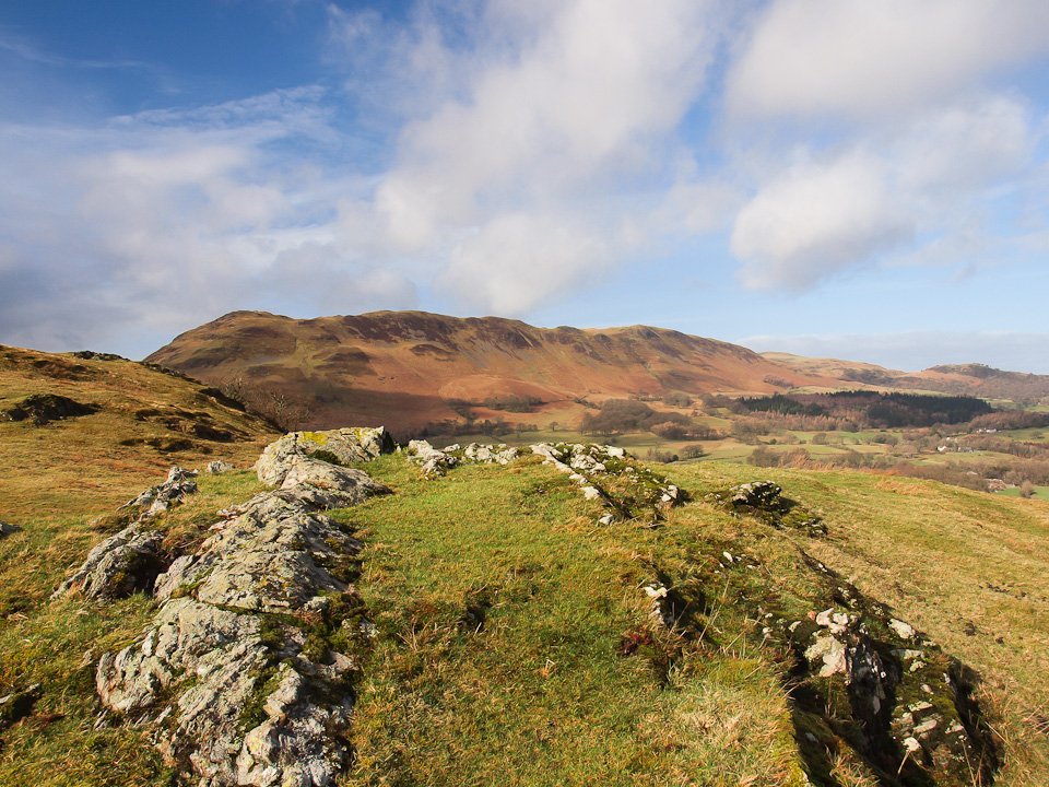
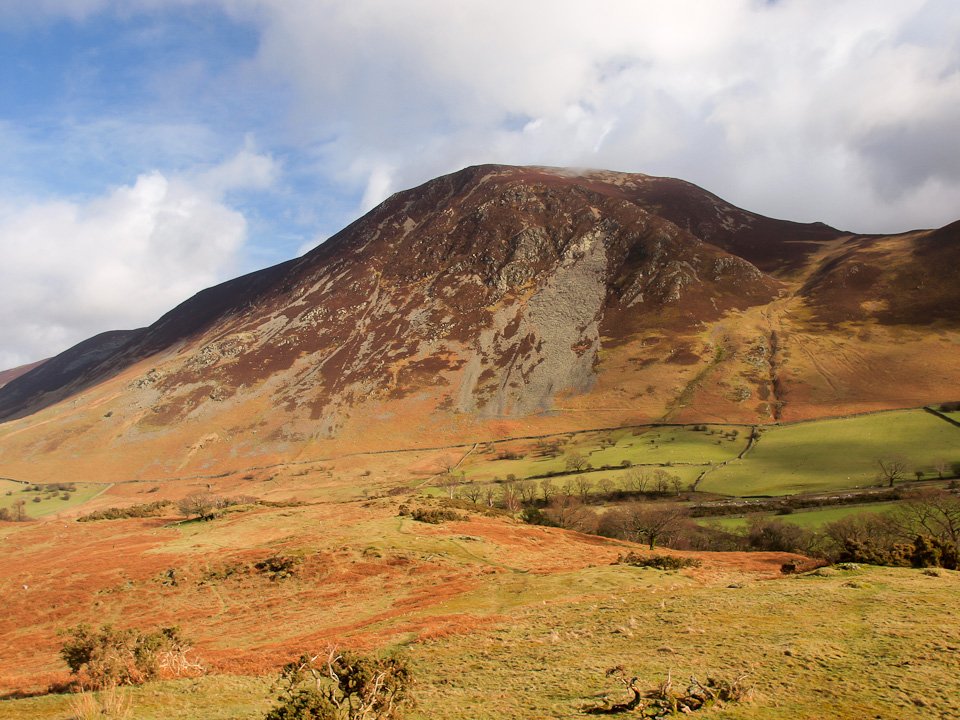
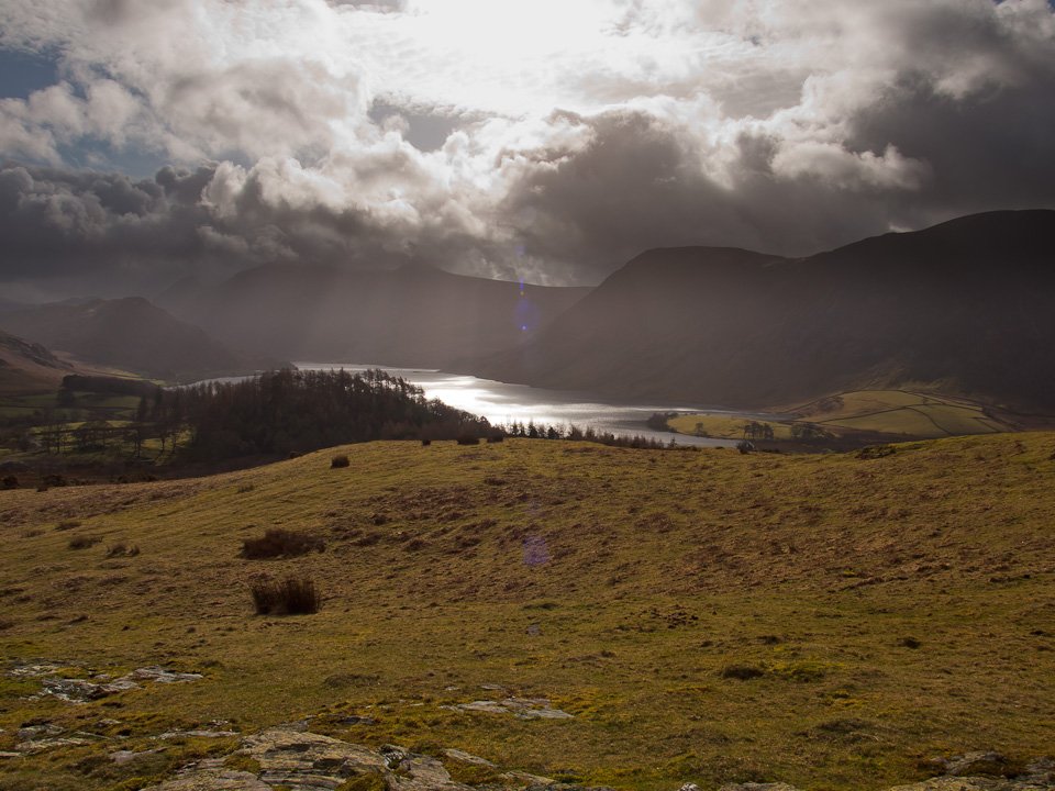
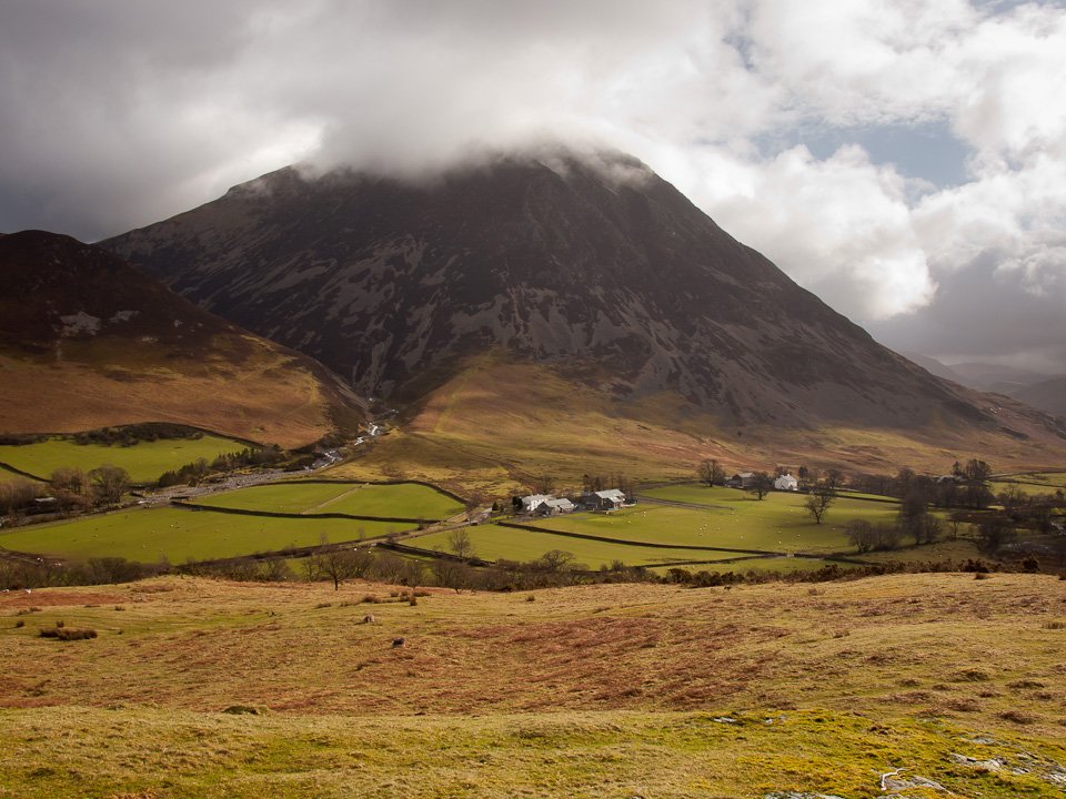
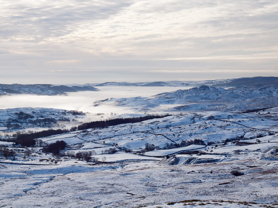
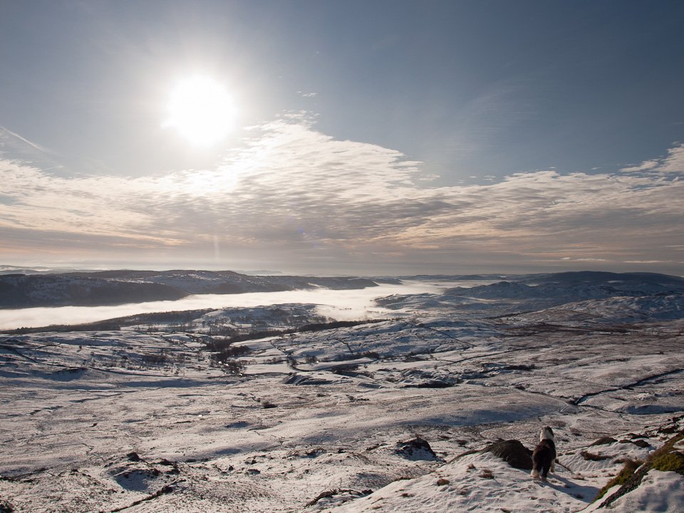
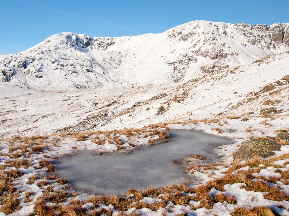
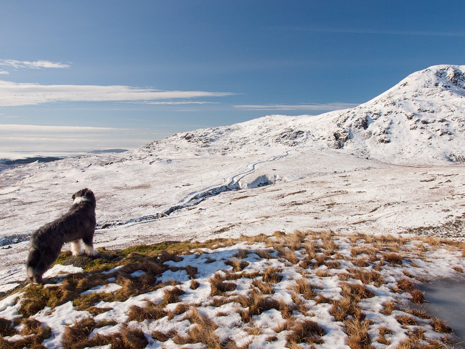
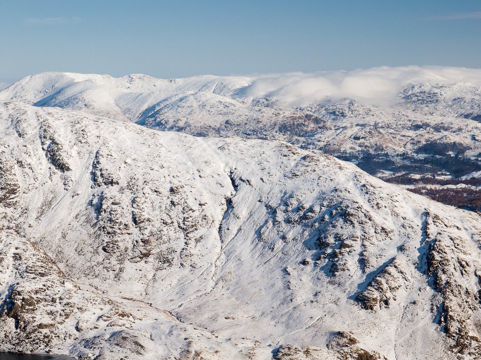
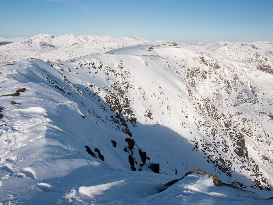
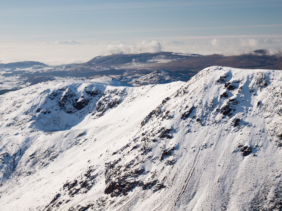
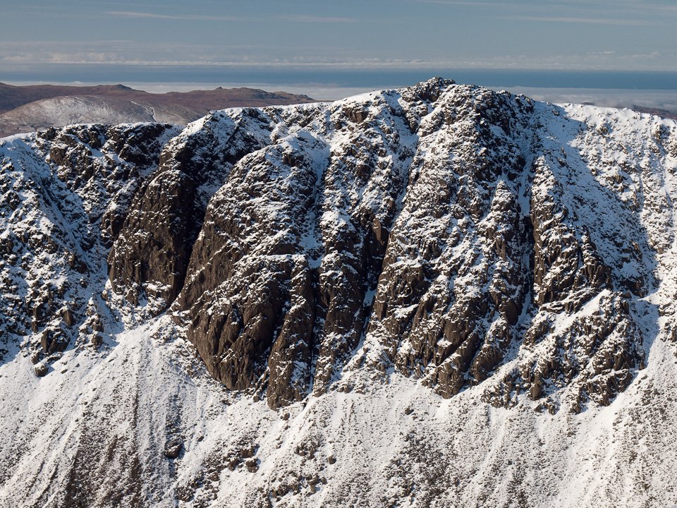
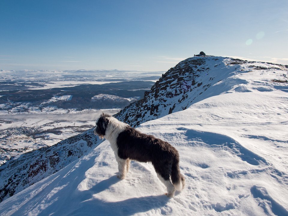
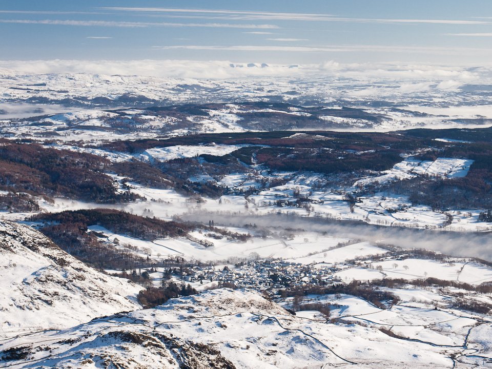
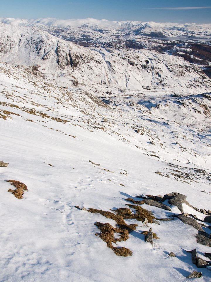
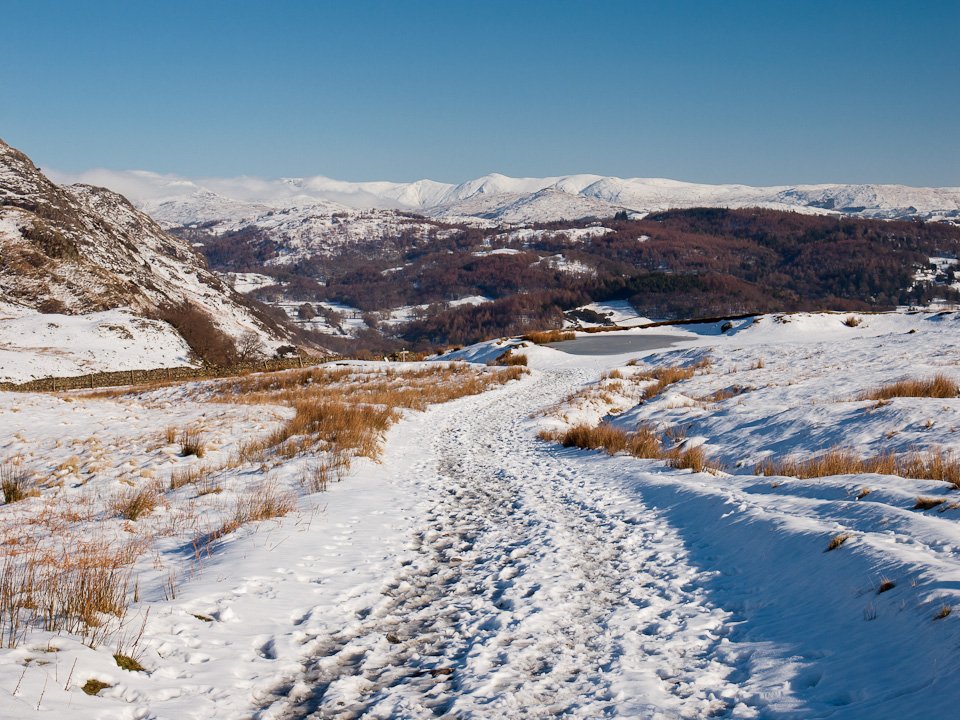
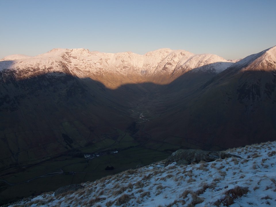
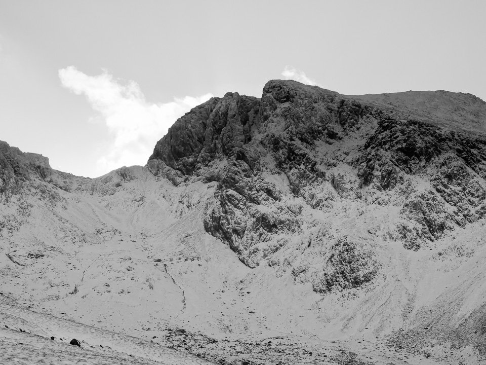
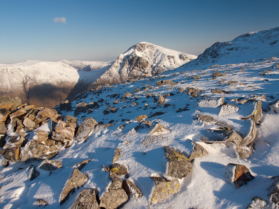
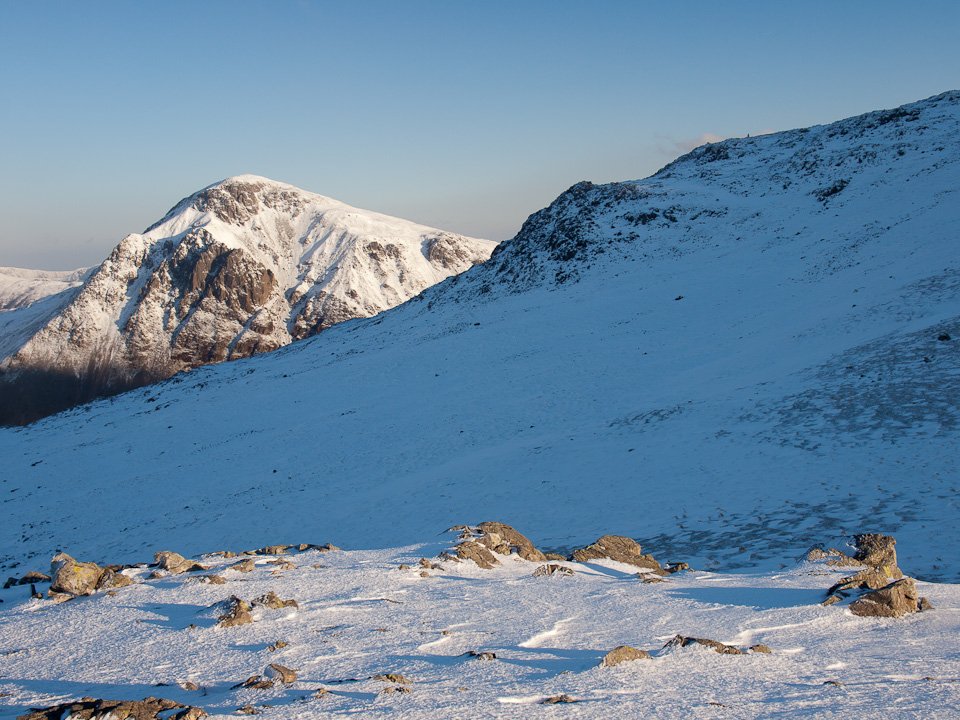
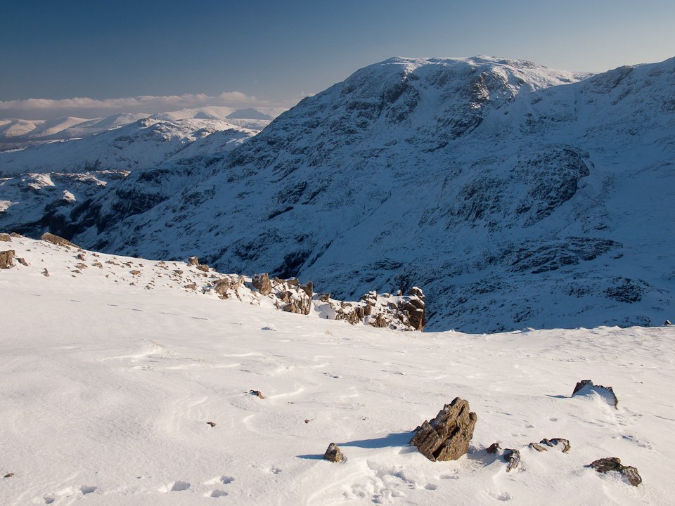
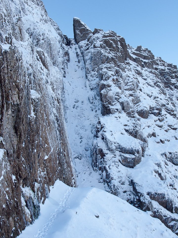
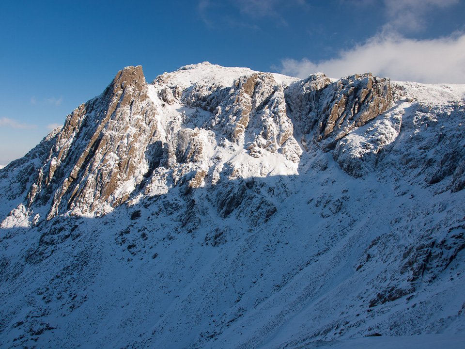
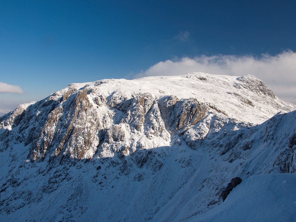
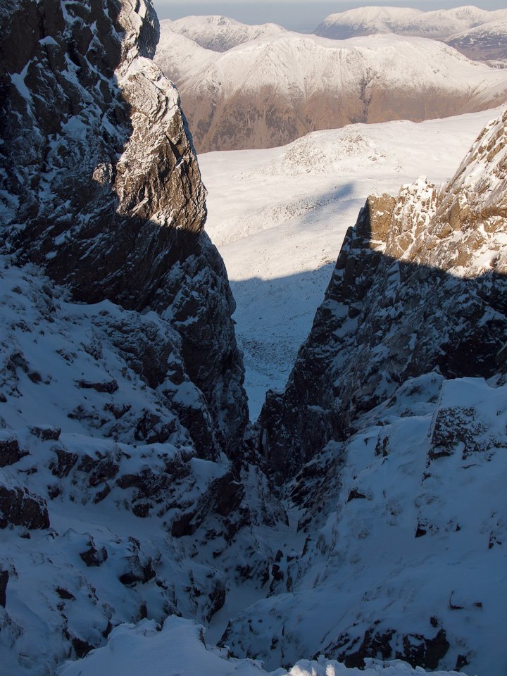
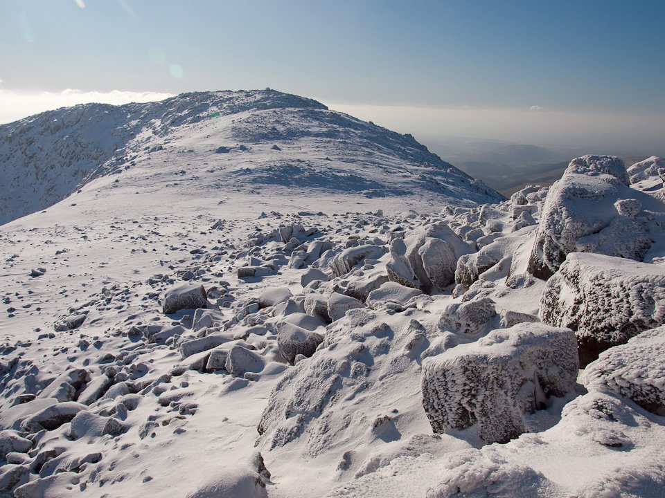
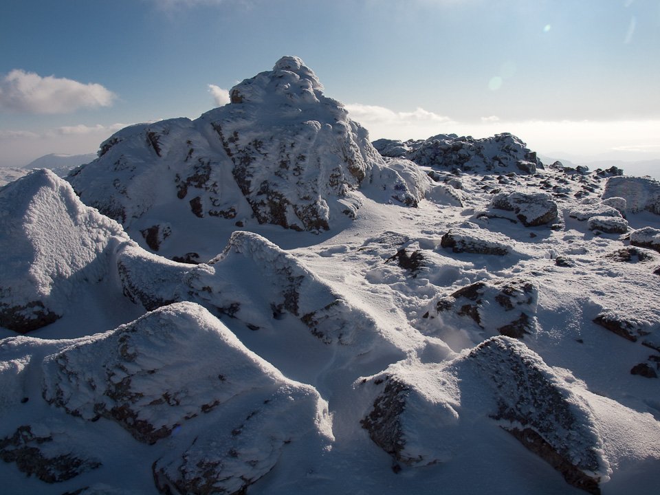
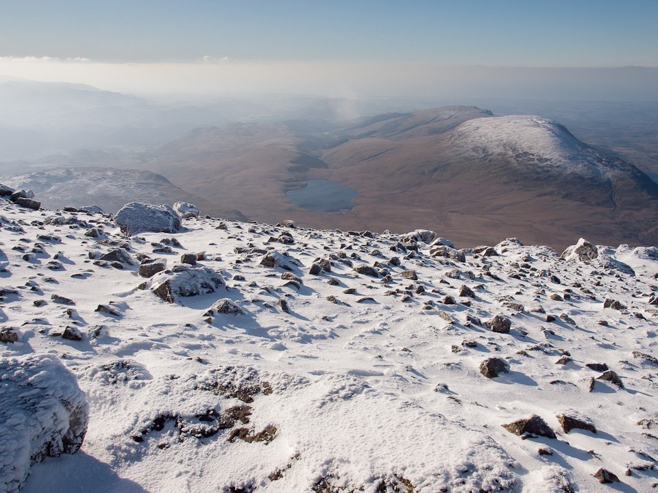
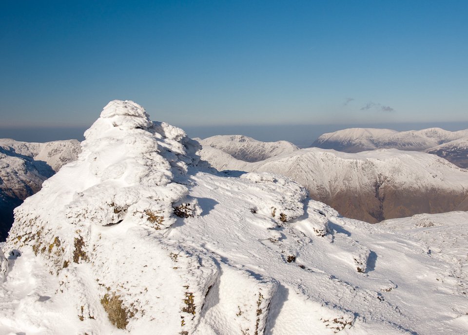
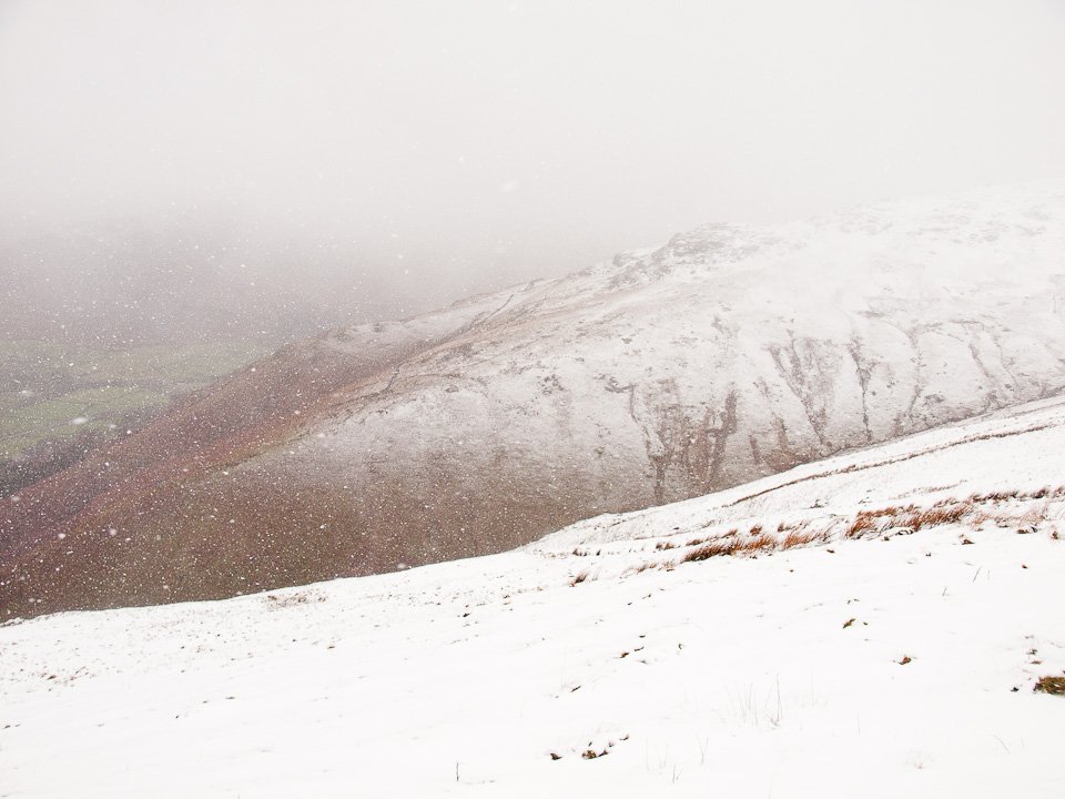
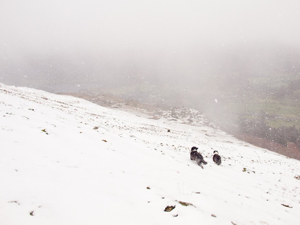
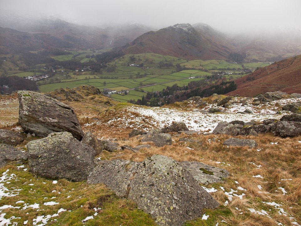
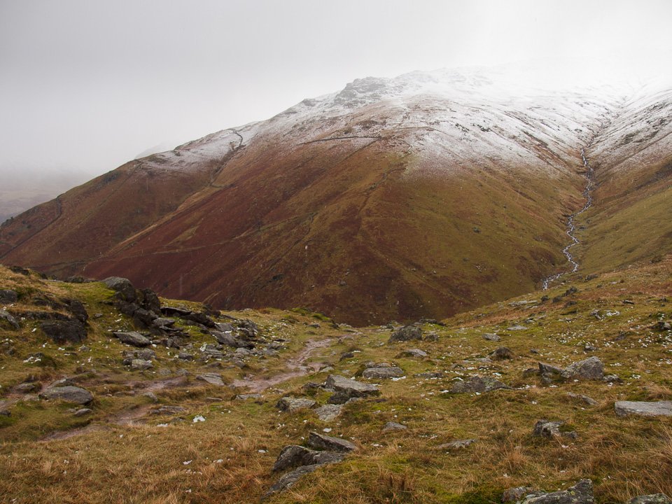
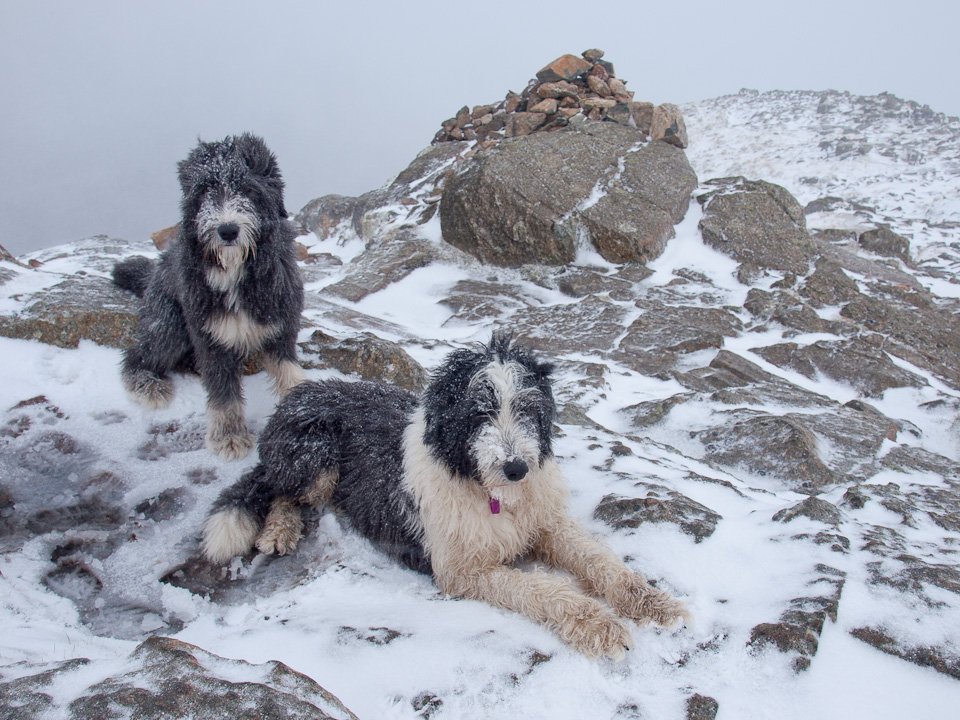
Striding Edge

A photo diary of Lake District fell walks

  • Walks
  • Fells
    • Wainwrights
      • Eastern Fells
      • Far Eastern Fells
      • Central Fells
      • Southern Fells
      • Northern Fells
      • North Western Fells
      • Western Fells
      • Outlying Fells
    • Birketts
  • Dogs
  • Love The Lakes
  • Contact

Grasmoor

Walked on 13/01/2012

Start point: Lanthwaite Green (NY 159 208)

Lanthwaite Green – Grasmoor – Crag Hill – Wandope – Thirdgill Head Man – Whiteless Pike – Whiteless Breast – Low Bank – Rannerdale Knotts – Lanthwaite Green

Distance: 7.1 miles     Total Ascent: 1038 metres     Time Taken: 4 hours     Start Time: 09:00

Weather: Cold, very clear. 2°C

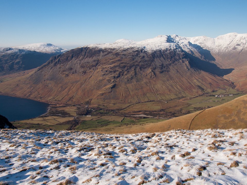
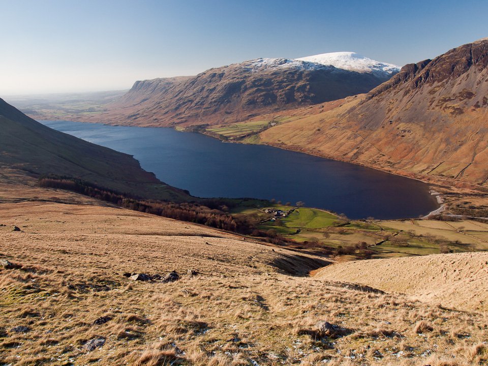
As I passed through Ambleside In could see the blood red sky to the south east catching me. As I went through Keswick, I could see a lovely inversion forming over Derwent Water but I managed to press on regardless despite these fantastic condition to head for Buttermere. I was rewarded with the shot I wanted across early morning Buttermere and then a walk in absolute clarity on the north western fells, taking in Grasmoor by the direct route from Lanthwaite Green – a steep one and not for the faint hearted. As Wainwright described it ‘On the whole, however, the climb is probably less difficult than the North Wall of the Eiger’!

OLYMPUS DIGITAL CAMERA

Dawn at Buttermere.

OLYMPUS DIGITAL CAMERA

Pink sky.

OLYMPUS DIGITAL CAMERA

Beautiful red sky and reflections looking to Fleetwith Pike.

Grasmoor Direct

Grasmoor direct Route Map.

OLYMPUS DIGITAL CAMERA

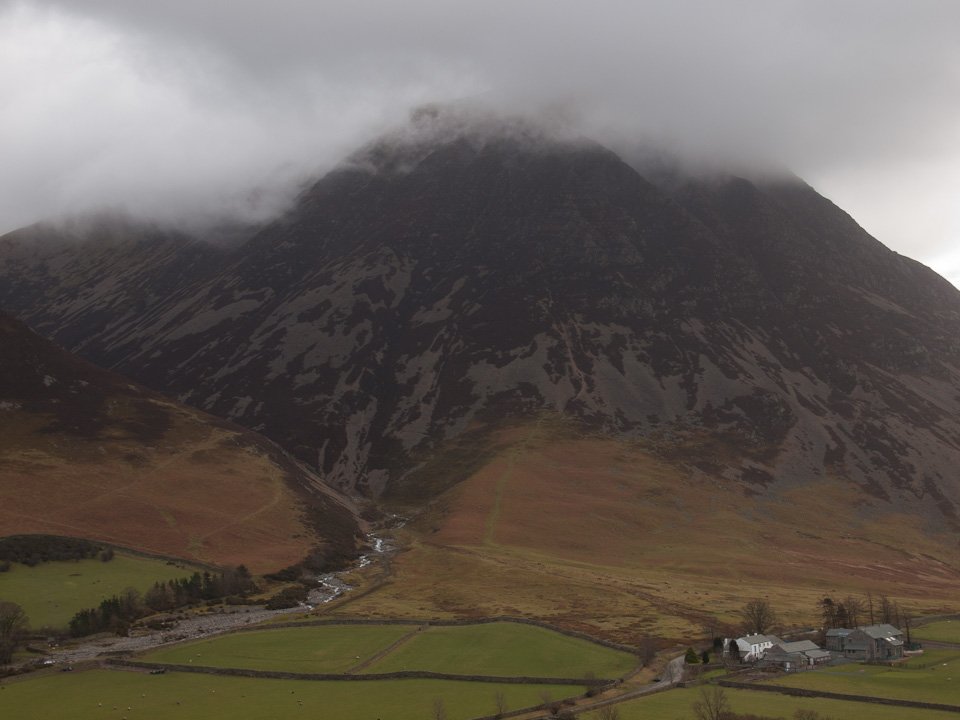
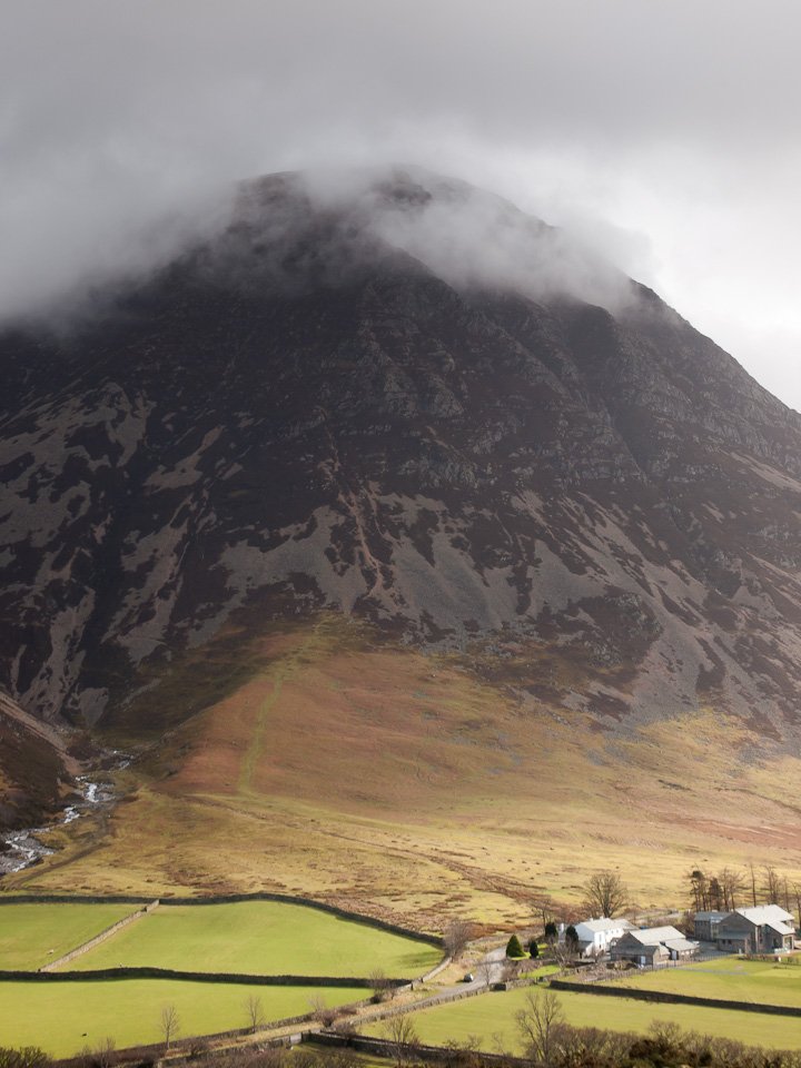
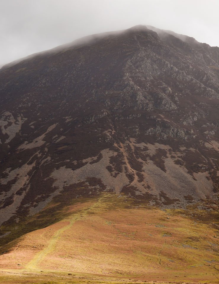
This photo was taken after the walk but shows today's route of ascent to Grasmoor - straight up!

OLYMPUS DIGITAL CAMERA

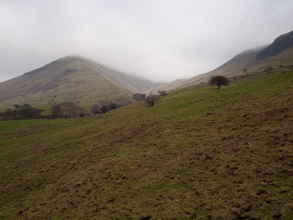
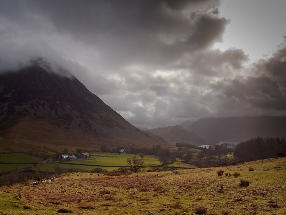
Early morning Mellbreak from Lanthwaite Green.

OLYMPUS DIGITAL CAMERA

At the foot of the (gulp!) climb.

OLYMPUS DIGITAL CAMERA

Love the sky.

OLYMPUS DIGITAL CAMERA

Low lying cloud in the Crummock Valley.

OLYMPUS DIGITAL CAMERA

Climbing the scree slope.

OLYMPUS DIGITAL CAMERA

Mellbreak from the scree. I was in the shade for the whole climb being on the north face of Grasmoor.

OLYMPUS DIGITAL CAMERA

The Loweswater Fells.

OLYMPUS DIGITAL CAMERA

Carling Knott and Burnbank Fell.

OLYMPUS DIGITAL CAMERA

At the top of the grassy rake looking towards Whiteside.

OLYMPUS DIGITAL CAMERA

There were many photos of Mellbreak today but there are great views from here.

OLYMPUS DIGITAL CAMERA

Loweswater.

OLYMPUS DIGITAL CAMERA

Whiteside and Gasgale Gill.

OLYMPUS DIGITAL CAMERA

The view from the Pinnacle.

OLYMPUS DIGITAL CAMERA

Climbing to Grasmoor End.

OLYMPUS DIGITAL CAMERA

Made it...

OLYMPUS DIGITAL CAMERA

...but there's still a fair walk to get to the summit from here. At least the going is easier and I am in the sunshine now

OLYMPUS DIGITAL CAMERA

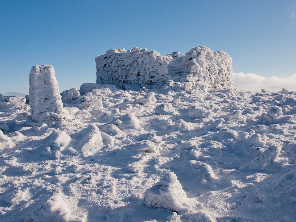
Would you like ice with your drink Dougal?

OLYMPUS DIGITAL CAMERA

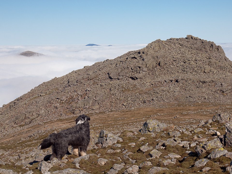
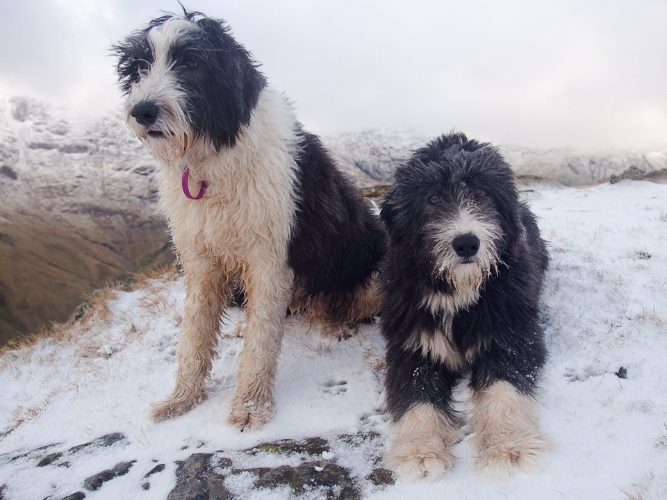
Dougal on the frosty summit.

OLYMPUS DIGITAL CAMERA

Grasmoor summit.

OLYMPUS DIGITAL CAMERA

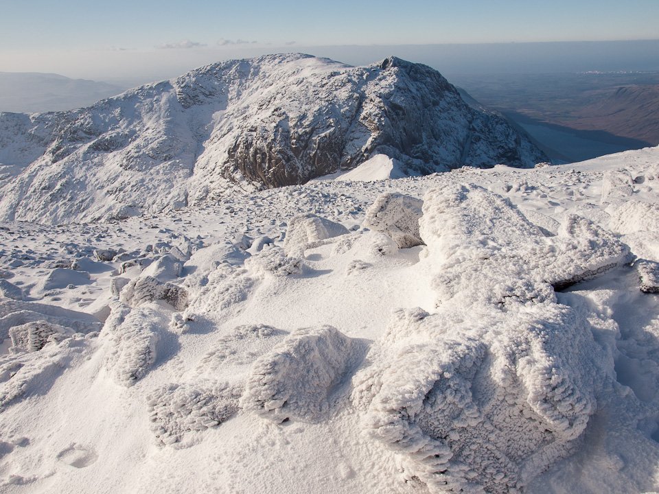
Looking into the sunshine towards the Scafells.

OLYMPUS DIGITAL CAMERA

Hopegill Head.

OLYMPUS DIGITAL CAMERA

Hopegill Head, Grisedale Pike and Skiddaw from Dove Crags.

OLYMPUS DIGITAL CAMERA

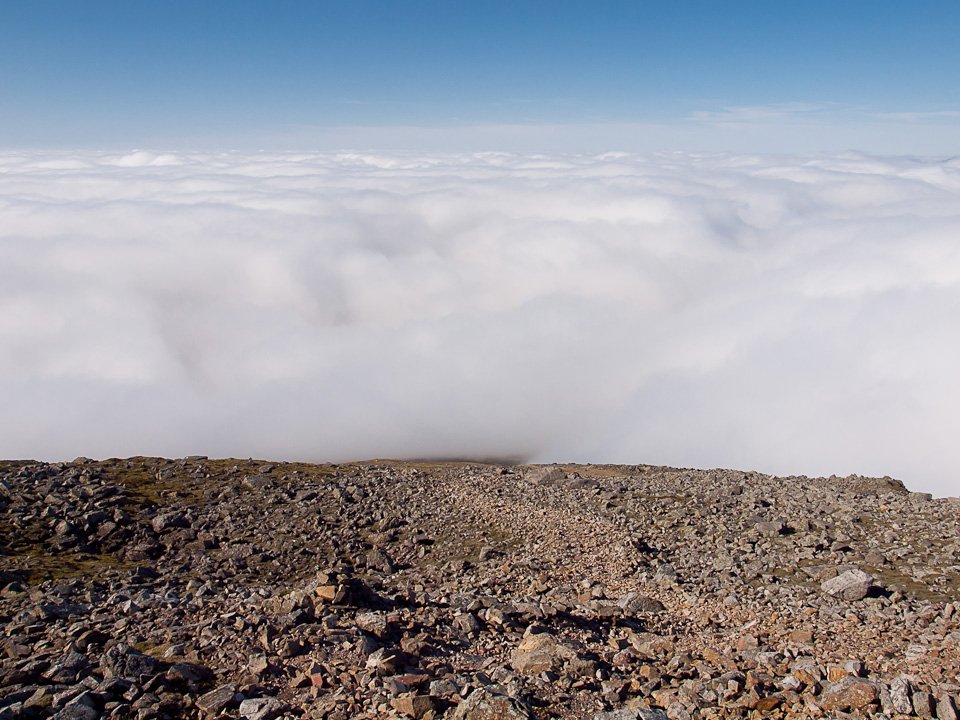
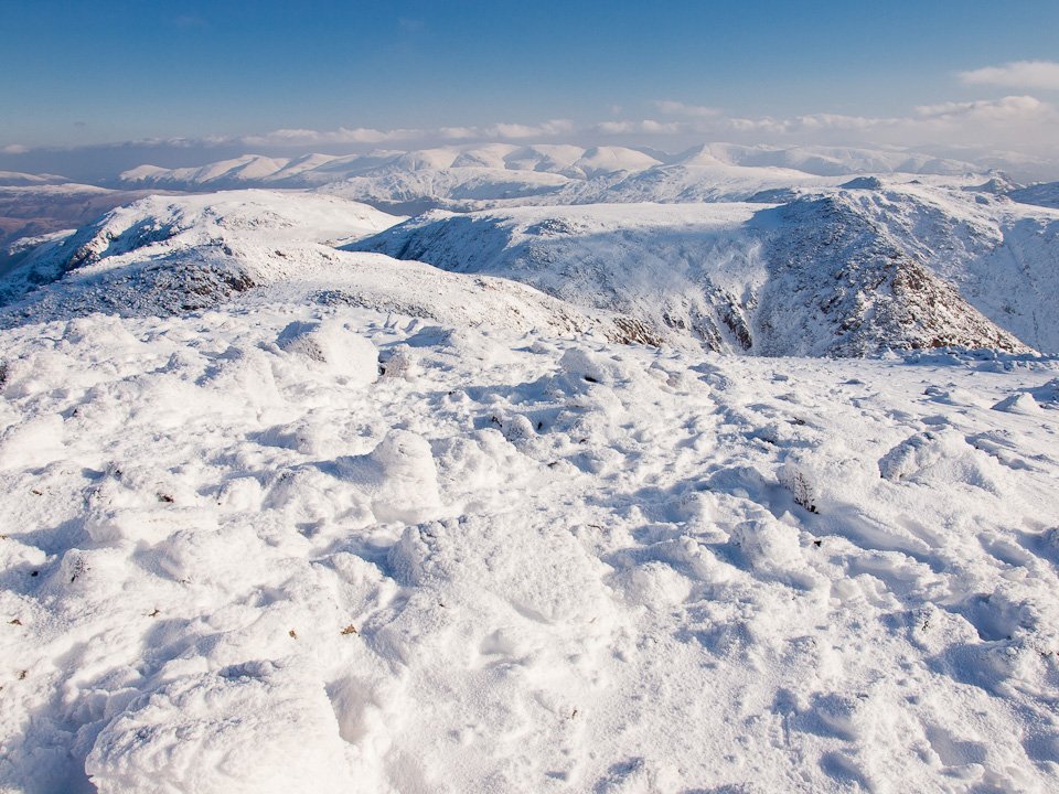
Fabulous views for miles today.

OLYMPUS DIGITAL CAMERA

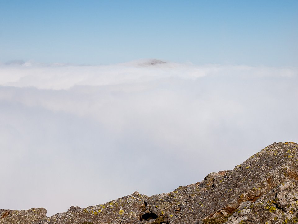
Layers upon layers of fells.

OLYMPUS DIGITAL CAMERA

Distant Skiddaw and Blencathra.

OLYMPUS DIGITAL CAMERA

Looking back to the top of Grasmoor.

OLYMPUS DIGITAL CAMERA

Crag Hill within touching distance. It wasn't on the agenda...but go on then.

OLYMPUS DIGITAL CAMERA

Frozen pool at the crossroads.

OLYMPUS DIGITAL CAMERA

The summit of Crag Hill and that trig. column is going to collapse soon (look at the bottom left of it).

OLYMPUS DIGITAL CAMERA

Coledale panorama - select on the image to see a larger version.

OLYMPUS DIGITAL CAMERA

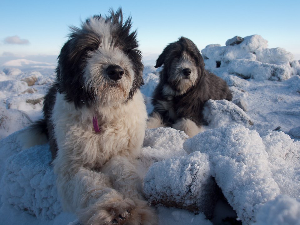
Dougal and Casper on frosted Crag Hill.

OLYMPUS DIGITAL CAMERA

Grasmoor from the descent.

OLYMPUS DIGITAL CAMERA

Wandope.

OLYMPUS DIGITAL CAMERA

Crag Hill from Wandope summit.

OLYMPUS DIGITAL CAMERA

Whiteless Edge and Whiteless Pike from Thirdgill Head.

OLYMPUS DIGITAL CAMERA

Looking back to Thirdgill Head and Wandope.

OLYMPUS DIGITAL CAMERA

A view through to Helvellyn from Whiteless Pike, Ard Crags and Knott Rigg in the foreground.

OLYMPUS DIGITAL CAMERA

Looking back from the descent of Whiteless Pike.

OLYMPUS DIGITAL CAMERA

Rannerdale Knotts from Whiteless Breast.

OLYMPUS DIGITAL CAMERA

Low Bank.

OLYMPUS DIGITAL CAMERA

Crummock Water and Loweswater from Rannerdale Knotts summit.

OLYMPUS DIGITAL CAMERA

Whiteless Pike looks shapely from here.

OLYMPUS DIGITAL CAMERA

Descending towards Crummock Water and Mellbreak.

OLYMPUS DIGITAL CAMERA

Grasmoor from Lanthwaite Green.

Black Fell

Walked on 05/01/2012

Start point: Knipe Fold (SD 391 994)

Black Fell from Knipe Fold

Distance: 3.4 miles     Total Ascent: 215 metres     Time Taken: 1 hour 15 minutes     Start Time: 12:45

Weather: Sunny with a cold, strong wind. 5°C

I didn’t think we would see any clear skies today, it was blowing a gale all night and most of the morning with frequent heavy showers. Everywhere was wet underfoot as you might imagine and once out of shelter the wind was still quite strong but thankfully it blew all the rain clouds far away.

OLYMPUS DIGITAL CAMERA

A submerged jetty at Low Wood shows how much rain there has been around this week but the strong winds of last night and this morning have blown it all clear again.

OLYMPUS DIGITAL CAMERA

The tide line shows how high the water has been.

OLYMPUS DIGITAL CAMERA

Looking across Windermere to Crinkle Crags, Bowfell and the Langdale Pikes. On with the walk...

OLYMPUS DIGITAL CAMERA

A pastoral view to the east from the track from Knipe Fold.

OLYMPUS DIGITAL CAMERA

Casper and Dougal on the throne initialled 'CD'...made for those two, obviously!

OLYMPUS DIGITAL CAMERA

The view through Iron Keld plantation to Windermere. The Low Wood Hotel (where the first photos on this page were taken) is the white building centre right.

OLYMPUS DIGITAL CAMERA

'The Woolly Jumper' - I don't know what Dougal was up to but I stopped for a second and boi-oing, he was up here as quick as a flash, up a 7 foot wall in a single leap. Get him signed up for the Olympic squad quick!

OLYMPUS DIGITAL CAMERA

Black Crag, the summit of Black Fell is to the left with the trig. column visible. To the right is the large south-east cairn.

OLYMPUS DIGITAL CAMERA

The Langdale Pikes and High Raise with Lingmoor Fell in the foreground.

OLYMPUS DIGITAL CAMERA

A wider view across Low Arnside.

OLYMPUS DIGITAL CAMERA

Dougal and Casper on the summit.

OLYMPUS DIGITAL CAMERA

Black Crag, the summit of Black Fell.

OLYMPUS DIGITAL CAMERA

The view from Great Cobble.

OLYMPUS DIGITAL CAMERA

Helvellyn and Fairfield.

OLYMPUS DIGITAL CAMERA

Despite the sunshine it was still blowing a hoolie up here.

OLYMPUS DIGITAL CAMERA

Looking across Ambleside to the Far Eastern fells.

OLYMPUS DIGITAL CAMERA

Close up on the Langdale Pikes.

OLYMPUS DIGITAL CAMERA

Crinkle Crags and Bowfell.

OLYMPUS DIGITAL CAMERA

The boys check out the best way to the south east cairn, Esthwaite Water beyond.

OLYMPUS DIGITAL CAMERA

Windermere, the Howgills to the right.

OLYMPUS DIGITAL CAMERA

The south east cairn.

OLYMPUS DIGITAL CAMERA

Helvellyn to the left, the Fairfield fells to the right beyond Great Cobble.

OLYMPUS DIGITAL CAMERA

Esthwaite Water from the descent.

OLYMPUS DIGITAL CAMERA

Moon rising to the east.

OLYMPUS DIGITAL CAMERA

The Howgills to the left, Latterbarrow with the large obelisk visible to the right. On the way back...

OLYMPUS DIGITAL CAMERA

Dreamy Coniston Water.

Blawith Knott

Walked on 02/01/2012

Start point: Woodland Fell road (SD 256 879)

Blawith Knott (OF) from the Woodland Fell road

Start Time: 13:30     Weather: Icy, strong wind. 4°C

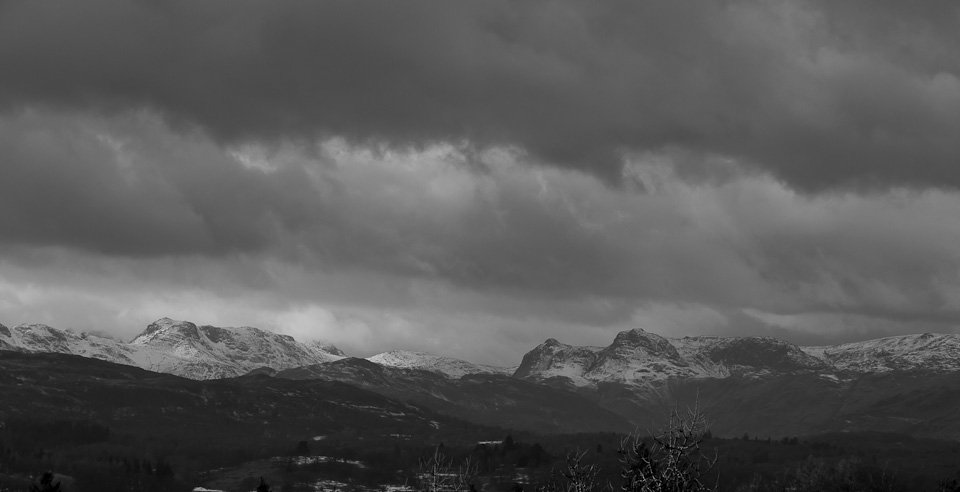
Just time to blow away the cobwebs from the Christmas excess today and kick off 2012 with a short walk up to Blawith Knott. The wind was very strong even at this modest height and had a real icy feel to it – not a time to hang around for sure.

OLYMPUS DIGITAL CAMERA

Race you!

OLYMPUS DIGITAL CAMERA

Stickle Pike.

OLYMPUS DIGITAL CAMERA

Caw at the end of a rainbow.

OLYMPUS DIGITAL CAMERA

A touch of blue sky over the top of Blawith Knott.

OLYMPUS DIGITAL CAMERA

Dull over the Coniston fells with snow laden clouds looming over them.

OLYMPUS DIGITAL CAMERA

Black Combe.

OLYMPUS DIGITAL CAMERA

How windy? How cold? If I were you Dougal, I would stay right there behind Casper.

OLYMPUS DIGITAL CAMERA

Drama over the Duddon Estuary.

OLYMPUS DIGITAL CAMERA

The Old Man with a fresh dusting of snow.

OLYMPUS DIGITAL CAMERA

Sunbeams.

OLYMPUS DIGITAL CAMERA

The summit of Blawith Knott.

OLYMPUS DIGITAL CAMERA

The charge of the Dougal brigade, looking to Beacon Fell. The eastern fells beyond have snow on them as did Scafell when it showed briefly.

OLYMPUS DIGITAL CAMERA

Fast moving sky.

OLYMPUS DIGITAL CAMERA

Later...Connie has a go at climbing on Kendal climbing wall.

Latterbarrow

Walked on 21/12/2011

Start point: Colthouse (SD 360 988)

Latterbarrow (OF) from Colthouse

Distance: 1.5 miles     Total Ascent: 143 metres     Time Taken: 30 minutes     Start Time: 11:35

Weather: Overcast, relatively warm. 9ºC

On this, the shortest day of the year, it was surprisingly mild at a heady 9C. Normally we would be in the depths of winter and have a bit of snow around. Of course it is still there on the higher tops, it was just that I couldn’t see it today. There were some interesting conditions to be observed from lowly Latterbarrow though with the low lying mist hanging in the valleys and across Windermere.

Latterbarrow

Latterbarrow route map.

OLYMPUS DIGITAL CAMERA

This view across Windermere from Hammar Bank caught my eye, the only clear place I had seen all morning...looks like a good bet for a walk across there today...

OLYMPUS DIGITAL CAMERA

Looking across Outgate to Black Fell.

OLYMPUS DIGITAL CAMERA

The obelisk atop Latterbarrow.

OLYMPUS DIGITAL CAMERA

Low lying mist all around, here looking towards Loughrigg.

OLYMPUS DIGITAL CAMERA

A wider, panoramic view.

OLYMPUS DIGITAL CAMERA

Casper gets in a spin.

OLYMPUS DIGITAL CAMERA

It's other worldly down there.

OLYMPUS DIGITAL CAMERA

Looking across Windermere to Wansfell, Low Wood Hotel prominent across the mere.

OLYMPUS DIGITAL CAMERA

Snakes in the grass - Casper looks at Dougal who is caught in the crosshairs.

OLYMPUS DIGITAL CAMERA

Misty trees.

OLYMPUS DIGITAL CAMERA

A wider view.

OLYMPUS DIGITAL CAMERA

Blelham Tarn below from the descent.

OLYMPUS DIGITAL CAMERA

Working out the best way down.

OLYMPUS DIGITAL CAMERA

The view to the south from the ferry across Windermere, heading back to Bowness.

Catbells

Walked on 16/12/2011

Start point: Hawes End (NY 247 212)

Hawes End – Skelgill Bank – Catbells – Hause Gate – Allerdale Ramble – Skelgill Bank – Catbells – Skelgill Bank – Hawes End

Distance: 4.3 miles     Total Ascent: 695 metres     Time Taken: 3 hours 30 minutes     Start Time: 08:30

Weather: Snow showers. 0ºC

There was a lot of snow around when I set of on the climb to Catbells this morning. My original intention had been to do the full Newlands Round but things didn’t quite turn out as expected and shows that you don’t necessarily have to get to the highest fells to get the views. It turned out to be a bit of an odd walk really, read on to see what happened…

Catbells

Catbells route map.

OLYMPUS DIGITAL CAMERA

Heavy snow and still dark at the start of the climb to Catbells.

OLYMPUS DIGITAL CAMERA

A near mono scene.

OLYMPUS DIGITAL CAMERA

Twin peaks - Catbells and Skelgill Bank.

OLYMPUS DIGITAL CAMERA

A little bit of sun appearing over to the east.

OLYMPUS DIGITAL CAMERA

Cold and frozen Newlands Valley.

OLYMPUS DIGITAL CAMERA

It looks like it may be an interesting sunrise this morning.

OLYMPUS DIGITAL CAMERA

At least I can see the summit from Skelgill Bank.

OLYMPUS DIGITAL CAMERA

Casper and Dougal.

OLYMPUS DIGITAL CAMERA

Greyscale scenery with an orange sky.

OLYMPUS DIGITAL CAMERA

In a heavy snow shower now.

OLYMPUS DIGITAL CAMERA

Wow! Catbells sunrise.

OLYMPUS DIGITAL CAMERA

For a few minutes, all was aglow and it was simply breathtaking.

OLYMPUS DIGITAL CAMERA

Sun a rise, early in the morning.

OLYMPUS DIGITAL CAMERA

The Derwent Fells at sun up.

OLYMPUS DIGITAL CAMERA

Skiddaw and Dodd.

OLYMPUS DIGITAL CAMERA

Fiery sky.

OLYMPUS DIGITAL CAMERA

Skiddaw has a tinge of colour this morning.

OLYMPUS DIGITAL CAMERA

Up on the summit of Catbells and central in the photo is a Sun Dog, caused by the sun shining on ice crystals.

OLYMPUS DIGITAL CAMERA

Looking to Maiden Moor.

OLYMPUS DIGITAL CAMERA

Dougal and Casper on Catbells.

OLYMPUS DIGITAL CAMERA

The sun, a dog and a Sun Dog!

OLYMPUS DIGITAL CAMERA

Which way Dad? Well, not that way as all views were completely obliterated in the heavy snow as we descended to Hause Gate - in fact it was a complete white-out. It seemed pointless carrying on and I did wonder about getting back home once I reached the car as well so I decided to call it a day and walk back along the bottom of Catbells.

OLYMPUS DIGITAL CAMERA

On the descent - nothing to see here.

OLYMPUS DIGITAL CAMERA

Brandelhow in heavy snow.

OLYMPUS DIGITAL CAMERA

Walking along the path - what is that I can see up there? Hmm, blue sky. By amazing powers of deduction I worked out that there would be a nice inversion if I made it back up on high. Sooo...back up we go!

OLYMPUS DIGITAL CAMERA

I was correct in that assumption - a lovely inversion over Derwent Water and The Vale of Keswick.

OLYMPUS DIGITAL CAMERA

Walla Crag and Bleaberry Fell, Clough Head and The Dodds beyond.

OLYMPUS DIGITAL CAMERA

Climbing higher.

OLYMPUS DIGITAL CAMERA

Actually it was quite quick moving that inversion, normally it is really still and they can sit for hours but this was rising and moving eastwards.

OLYMPUS DIGITAL CAMERA

Walla Crag is almost covered now to the left.

OLYMPUS DIGITAL CAMERA

Bleaberry Fell.

OLYMPUS DIGITAL CAMERA

Dougal has found a good vantage point.

OLYMPUS DIGITAL CAMERA

Bleaberry Fell and High Seat.

OLYMPUS DIGITAL CAMERA

Clearing over the water.

OLYMPUS DIGITAL CAMERA

Looking over Keswick to Skiddaw.

OLYMPUS DIGITAL CAMERA

The mist rising to envelope me once more. Still I continued to the summit and hung around for a while - who knows what would happen next?

OLYMPUS DIGITAL CAMERA

Cloud pouring into Borrowdale.

OLYMPUS DIGITAL CAMERA

A winter scene, on the descent again now.

OLYMPUS DIGITAL CAMERA

Causey Pike looks almost Alpine.

OLYMPUS DIGITAL CAMERA

Catbells and Hindscarth.

OLYMPUS DIGITAL CAMERA

Ard Crags and Knott Rigg, an island in the clouds.

OLYMPUS DIGITAL CAMERA

Looking towards Skiddaw.

OLYMPUS DIGITAL CAMERA

The cloud is still pouring down into Borrowdale.

OLYMPUS DIGITAL CAMERA

Castle Crag looks like an interesting place today.

OLYMPUS DIGITAL CAMERA

Derwent Water is clear now and it wasn't long before the cloud cover was in for the day.

Dow Crag via the South Rake

Walked on 12/12/2011

Start point: Walna Scar road (SD 289 970)

Walna Scar road – The Cove – Goat’s Water – South Rake – Dow Crag – Buck Pike – Brown Pike – Cove Bridge – Walna Scar road

Distance: 5.1 miles     Total Ascent: 593 metres     Time Taken: 2 hours 50 minutes     Start Time: 09:15

Weather: Showers, cloudy on the tops. 5ºC

It was bright around the periphery of the Lakes today but most of the fells I could see were shrouded in mist. I still fancied a bit of winter walking so headed for Dow Crag in search of some snow and have a hunt around for something else today as well.

Firstly, a bit of a story about a fell dog – this extract is from Wainwright’s ‘The Southern Fells’, Coniston Old Man 6…

Dow Crag

Dow Crag route map.

img069

It seems nothing has changed much and the same thing that happened to Charmer's Grave also happened to the Angus plaque. Details of Charmer's demise from the Lakes Herald, 31st March 1911 ... Another Promising Hound Dashed To Death CONISTON FOXHOUNDS - As was recorded in last week’s issue, the above hounds had a thrilling experience on Dow Crags at Coniston, seven of them being crag fast and not rescued for about 24 hours. Unfortunately one of the hounds, the promising young bitch Charmer, appeared to have stolen back on a fresh hunt, and got crag fast in the same place. But this was not discovered till later. On Sunday she was heard howling, and a rescue party tried to reach her, but before they could get there Charmer had fallen down the crag and was dashed to death.

OLYMPUS DIGITAL CAMERA

Charmer's Grave with the inscription 'Charmer 1911' on the stone, 100 years on and the letters are faded but still visible.

OLYMPUS DIGITAL CAMERA

Kindred spirits - Charmer is not alone today but has two other fell dogs to visit him. RIP lad. Note: I have put these Charmer's Grave photos out of sequence to protect its location. Back to the walk from the beginning...

PC128168

Sunshine and clouds on The Old Man...

PC128170

...and on The Bell. Beyond, Wetherlam is in cloud too. As soon as I started walking though, the heaven's opened and soaked me with a sleety shower.

OLYMPUS DIGITAL CAMERA

Sunlit clouds to the south.

OLYMPUS DIGITAL CAMERA

Blue skies to the south but the higher Coniston fells are all in cloud this morning.

OLYMPUS DIGITAL CAMERA

A rainbow along the path to The Cove.

OLYMPUS DIGITAL CAMERA

The Cove.

OLYMPUS DIGITAL CAMERA

Goat's Water outfall.

OLYMPUS DIGITAL CAMERA

Goat's Water.

OLYMPUS DIGITAL CAMERA

The crags of Dow Crag.

OLYMPUS DIGITAL CAMERA

Climbing into the mist.

OLYMPUS DIGITAL CAMERA

Goat's Water from up on high.

OLYMPUS DIGITAL CAMERA

At the foot of the South Rake and it is time to don crampons. Casper and Dougal don't seem too bothered by the steep slope or the snow. Note: Don't try a winter climb like this if you are inexperienced. Don't take a dog this way in these conditions.

OLYMPUS DIGITAL CAMERA

Looking down the Rake. The snow was thigh deep for much of the way making the going pretty tough - it certainly got my heart rate up - but it was a really satisfying climb nevertheless.

OLYMPUS DIGITAL CAMERA

It looks steep when it is filled with snow and a long, long way down.

OLYMPUS DIGITAL CAMERA

The South Rake from the top.

OLYMPUS DIGITAL CAMERA

The two intrepid mountaineers are pleased to have made it.

OLYMPUS DIGITAL CAMERA

Heading for Buck Pike.

OLYMPUS DIGITAL CAMERA

Buck Pike in mono.

OLYMPUS DIGITAL CAMERA

Descending through the old quarry, Coniston Water in view.

OLYMPUS DIGITAL CAMERA

The Old Man across The Cove.

OLYMPUS DIGITAL CAMERA

Brown Pike and Buck Pike are under there somewhere.

OLYMPUS DIGITAL CAMERA

Heading back along the newly smoothed Walna Scar Road.

OLYMPUS DIGITAL CAMERA

Cove Bridge.

OLYMPUS DIGITAL CAMERA

Sunshine heading back along the Walna Scar Road with a view all the way to the Ill Bell ridge.

Wansfell

Walked on 07/12/2011

Start point: Troutbeck (NY 409 032)

Troutbeck – Nanny Lane – The Hundreds – Wansfell – Wansfell Pike – Nanny Lane – Troutbeck

Distance: 3.7 miles     Total Ascent: 350 metres     Time Taken: 1 hour 20 minutes     Start Time: 09:45

Weather: Strong winds and snow. 2ºC

It took me a while to decide where to walk this morning, I visited Coniston and Langdale before deciding to have a look to the east where it all seemed much brighter. After struggling up The Struggle in full winter conditions and with the snow still falling heavily, I decided to head back down the Kirkstone Pass before it became impassable…

Wansfell

Wansfell route map.

OLYMPUS DIGITAL CAMERA

The Kirkstone Pass Inn. On with the walk, Wansfell looked clear and as it is of relatively modest height it seemed like a decent bet...

OLYMPUS DIGITAL CAMERA

...until I set off when it started snowing heavily once more.

OLYMPUS DIGITAL CAMERA

It was also very windy along here, I sheltered behind the wall to take this photo and was on the verge of turning back but decided to plod on hoping the wind would blow away the snow clouds.

OLYMPUS DIGITAL CAMERA

Nanny Lane.

OLYMPUS DIGITAL CAMERA

The first glimmer of brightness and the Ill Bell ridge comes into view.

OLYMPUS DIGITAL CAMERA

Peeping over the snowy wall to get a view of Sallows.

OLYMPUS DIGITAL CAMERA

Casper, the snow monster. Those two dogs are like spring lambs once they are in the snow, rolling around and chasing each other and generally enjoying themselves.

OLYMPUS DIGITAL CAMERA

'You go that-away and I'll go this-away'. Once we climbed up onto the summit of Wansfell the wind was really strong...

PC078027

...aaaghh! Hold on tight boys!

OLYMPUS DIGITAL CAMERA

Bleak midwinter on the Wansfell ridge - the snow was horizontal along here. Surprisingly, I didn't see anyone today!

OLYMPUS DIGITAL CAMERA

Following the wall to Wansfell Pike.

OLYMPUS DIGITAL CAMERA

A sudden clearing in the clouds and Ambleside and Rydal Water come into view below.

OLYMPUS DIGITAL CAMERA

Wetherlam beyond Wansfell Pike.

OLYMPUS DIGITAL CAMERA

Crossing the wall.

OLYMPUS DIGITAL CAMERA

Windermere with the back of the snow showers being blown down the water.

OLYMPUS DIGITAL CAMERA

A little bit of sunshine at the southern end of Windermere.

OLYMPUS DIGITAL CAMERA

Clearing to the north, Kirkstone Pass is distant left of centre.

OLYMPUS DIGITAL CAMERA

Wow, the briefest of brief clearings reveals the full length of Windermere from Wansfell Pike.

OLYMPUS DIGITAL CAMERA

Looking back to Wansfell, Ill Bell beyond.

OLYMPUS DIGITAL CAMERA

Another brief parting of the clouds and Red Screes becomes visible.

OLYMPUS DIGITAL CAMERA

Sunburst over Windermere. As soon as I left the summit of Wansfell Pike the snow came back with a vengeance and all views were once more obliterated.

OLYMPUS DIGITAL CAMERA

On the decent of Nanny Lane.

Blawith Knott

Walked on 06/12/2011

Start point: Woodland Fell road (SD 256 879)

Blawith Knott (OF) from the Woodland Fell road

Start Time: 10:30     Weather: Cold. 3C

Just time for a quick walk up to Blawith Knott this morning, the fells were resplendent in their new winter coats so they were well worth a viewing. I would have preferred to be up there rather than just looking…another day maybe.

OLYMPUS DIGITAL CAMERA

First sight of the Coniston fells from the Woodland Fell road, the path used to climb Blawith Knott is the one in the foreground.

OLYMPUS DIGITAL CAMERA

Heading for Blawith Knott.

OLYMPUS DIGITAL CAMERA

A little bit of sunshine looking towards Black Combe.

OLYMPUS DIGITAL CAMERA

The magnificent Coniston fells.

OLYMPUS DIGITAL CAMERA

A panoramic of the snowy Coniston fells.

OLYMPUS DIGITAL CAMERA

Dow Crag and The Old Man.

OLYMPUS DIGITAL CAMERA

Black Combe from the summit.

OLYMPUS DIGITAL CAMERA

Looking towards Kirkby Moor.

OLYMPUS DIGITAL CAMERA

Casper and Dougal on Blawith Knott.

OLYMPUS DIGITAL CAMERA

On the descent.

OLYMPUS DIGITAL CAMERA

It was starting to cloud over even during the short time I was up here with more snow laden clouds.

OLYMPUS DIGITAL CAMERA

The Giant's Grave.

Holme Fell

Walked on 02/12/2011

Start point: Hodge Close (NY 315 016)

Holme Fell from Hodge Close

Distance: 1.7 miles     Total Ascent: 165 metres     Time Taken: 45 minutes     Start Time: 09:20

Weather: Overcast, cold. 5ºC

It was a cold morning and most of the higher fells were covered in cloud early on – when they lifted the forecasted snow was revealed on them, a later start than last year to wintry weather. There were some ominous clouds around and heavy showers later on which presumably left more snow up on high.

Holme Fell

Holme Fell route map.

PC027606

A 'petit-sunburst' across the reservoir.

PC027612

Reservoir and clouds.

PC027621

The Langdales have a dusting of snow on them.

PC027627

The view from the climb and the fells to the east are covered in cloud.

PC027639

Coniston Water from Ivy Crag.

PC027642

The clouds on the eastern fells have lifted sufficiently now to reveal snow on Helvellyn and Fairfield beyond the cairn on Ivy Crag.

PC027648

Those clouds look quite heavily laden.

PC027654

Helvellyn and Fairfield.

PC027657

More weather coming in from the left.

PC027660

Fairfield.

PC027672

More snow showers across The Langdales.

PC027699

Wetherlam beyond the summit of Holme Fell.

PC027702

Standing on the edge - at the top of Raven Crag looking along Yewdale to Coniston Water.

PC027717

Heavy clouds over the far eastern fells.

PC027742

Dougal and Casper on Holme Fell.

PC027755

Wetherlam.

PC027761

The Old Man is shrouded today.

PC027764

Holme Fell summit ridge.

PC027770

The summit cairn on Holme Fell...

PC027776

...and the view in the opposite direction.

PC027779

The clouds are down once more, looking across on the descent.

PC027788

Down at the smaller reservoir.

PC027800

Hodge Close quarry.

PC027805

The trees at Hodge Close have grown right around the old wire rope.

Branstree

Walked on 28/11/2011

Start point: Sadgill Bridge, Longsleddale (NY 483 057)

Sadgill Bridge, Longsleddale – Gatesgarth Pass – Branstree – Tarn Crag (Longsleddale) – Harrop Pike – Grey Crag(Longsleddale) – Great Howe (Longsleddale) – Sadgill Bridge, Longsleddale

Distance: 7.5 miles     Total Ascent: 767 metres     Time Taken: 3 hour 30 minutes     Start Time: 09:00

Weather: Cold, wet and windy. 6C

Today I had a walk in Longsleddale, one of the remotest valleys around and I certainly saw no-one today. It was wild on the tops today with a strong wind and some heavy showers which coupled with boggy terrain made the going arduous at times – nice to be out for a longer walk once more though and I enjoyed it.

Branstree

Branstree route map.

PB287353

Longsleddale from Sadgill - it all looks a bit ominous ahead.

PB287359

Beautiful Longsleddale and the River Sprint.

PB287365

Following the track, Goat Scar to the left and Buckbarrow Crag to the right.

PB287371

The head of Longsleddale.

PB287389

Buckbarrow Crag.

PB287392

Looking back into Longsleddale, the wind picking up and blowing some rain in now.

PB287401

Cleft Ghyll.

PB287413

The top of Branstree is in cloud, looking across Wrengill Quarry. Once through the quarry the wind really started to pick up and the cloud was almost down to Gatescarth Pass.

PB287420

Casper puts the handy dog water bowl to good use on the summit of Branstree.

PB287426

Out of the clag once more on Selside Brow heading for Tarn Crag with more layers on than an onion, plus the obligatory hat and gloves.

PB287444

Boggy...

PB287447

...peat hags, typical terrain in these parts, looking into Mosedale.

PB287462

Branstree looks pretty clear of cloud now looking back from the climb to Tarn Crag.

PB287468

Mosedale.

PB287480

The survey post on Tarn Crag, the wind is whipping up the water in that puddle.

PB287502

Tarn Crag summit.

PB287505

The cairn on Harrop Pike is clearly visible from the descent of Tarn Crag.

PB287514

The cairn on Harrop Pike.

PB287535

Dougal is getting used to the windswept look.

PB287529

The summit of Grey Crag.

PB287538

Dougal and Casper on Grey Crag.

PB287550

Three old men of the fells.

PB287561

Grey Crag and the survey post on Great Howe.

PB287564

Tarn Crag from Great Howe.

PB287579

The easy gully leading back to Sadgill.

PB287585

A great view of Longsleddale from the descent.

PB287591

Sadgill Bridge.

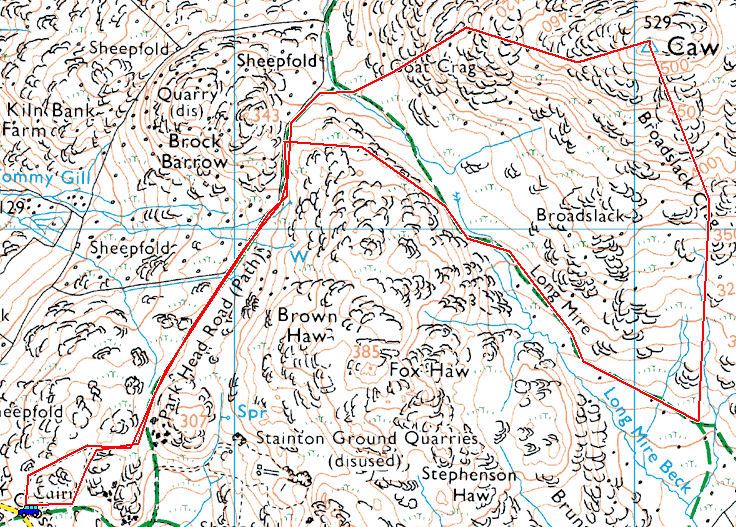
Stickle Pike

Walked on 26/11/2011

Start point: Kiln Bank Cross (SD 215 933)

Kiln Bank Cross – Stickle Tarn – Stickle Pike (OF) – Kiln Bank Cross

Distance: 1 miles     Total Ascent: 105 metres     Time Taken: 25 minutes     Start Time: 12:20

Weather: Grey with a strong wind and showers. 12C

The weather this morning was less than fabulous with strong winds and showers. Even at lunchtime when I went for a walk up to Stickle Pike it was almost dark and the wind up on the top was pretty strong as expected and the rain came down in a big way just as I made it back down to the car.

PB267136

At the foot of the climb things were more than a little breezy today.

PB267142

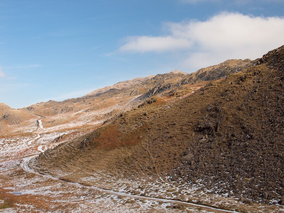
Looking across to Caw whilst I was conveniently sheltered behind these large rocks.

PB267145

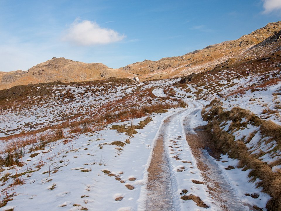
Heading for the tarn, straight ahead, with the summit up to the right.

PB267148

Looking across to the old levels on Raven's Crag, Caw beyond in cloud.

PB267157

Windswept Stickle Tarn.

PB267167_s

Stickle Tarn and Pike.

PB267176

Looking back down the path.

PB267182

Stickle Pike summit.

PB267210

Dougal and Casper brave the wind.

PB267242

On the southern summit the wind was really strong and it made the going difficult, in fact it was hard work just to keep standing up. I hunkered down in a small hollow to get this shot of Great Stickle and the Duddon Estuary...

PB267257

...and turn around putting my head above the parapet to get this shot across to the main summit.

26.11.11-d

Yes, it 's pretty wild up here Dougal!

PB267299

Descending the summit on the northern side.

PB267302

The Duddon Valley and a quick jog from here to make the car before the rain came.

Orrest Head

Walked on 23/11/2011

Start point: Windermere (SD 414 987)

Orrest Head (OF) circular

Distance: 1.2 miles     Total Ascent: 109 metres     Time Taken: 30 minutes     Start Time: 10:05

Weather: Overcast, drizzle. 12C

It is still amazingly warm for the time of year but the skies were leaden and full of threatening clouds this morning. I didn’t fancy anywhere too high, which was a good thing really as I forgot my boots…I wouldn’t want to ruin my Gucci loafers crossing Striding Edge, would I?

Firstly, couple of photos I took on Sunday when I was on my way to Love the Lakes, Keswick…

Orrest Head

Orrest Head route map.

20.11.11-025

Skiddaw gets a lovely inversion across Latrigg, I know where I would have gone if work wasn't a priority!

20.11.11-046

A beautiful view across Derwent Water to Catbells. On to today's walk...

23.11.11-010

Windermere from the path to Orrest Head.

23.11.11-016

Mossy wall.

23.11.11-044

I don't know what your doing up there Dougal, Casper has gone the sensible way through the sheep hole down to the left!

23.11.11-052

The view to the north west on the top of Orrest Head.

23.11.11-067

Take a seat and have a view in any direction you like.

23.11.11-070

Orrest Head, the new viewpoint indicator has sadly gone again.

23.11.11-076

The view southwards to Bowness and Windermere.

23.11.11-084

Something has grabbed Casper and Dougal's attention.

23.11.11-101

Sour Howes.

23.11.11-104

Wansfell.

23.11.11-110

Damp and slippery Orrest Head.

23.11.11-113

The view towards Ambleside.

23.11.11-122

Sour Howes and Sallows from the descent to Common Wood.

23.11.11-131

Back to Windermere.

Hard Knott

Walked on 16/11/2011

Start point: Hardknott Pass summit (NY 230 014)

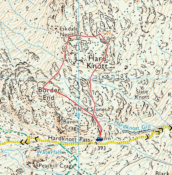
Hardknott Pass – Border End – Eskdale Needle – Hard Knott – Hardknott Pass

Distance: 1.6 miles     Total Ascent: 188 metres     Time Taken: 1 hour     Start Time: 13:35

Weather: Sunny and bright. 9C

I just had time to squeeze a quick walk in sunny conditions this afternoon up to Hard Knott. I love the view to the back of the Scafells from here and it was lovely and quiet up there today.

Hard Knott

Hard Knott route map.

16.11.11-004

The Duddon Valley looking towards Little Stand with blue sky to the right, grey to the left.

16.11.11-016

Hard Knott.

16.11.11-031

Sunshine on Hard Knott from Border End.

16.11.11-034

Bowfell and Crinkle Crags from the top.

16.11.11-043

Border End is in sunshine, the Scafells beyond are not.

16.11.11-046

It is still a mighty fine view across Upper Eskdale though.

16.11.11-052

Looking towards Esk Pike, Bowfell and Crinkle Crags, the photographer flanked by his two trusty cohorts.

16.11.11-058

Harter Fell from Border End.

16.11.11-067

Eskdale and the Roman Fort below.

16.11.11-084

The two headed dog.

16.11.11-102

Esk Pike and Bowfell loom large over Eskdale. In the centre is the next objective, Eskdale Needle.

16.11.11-108

Looking across to the Scafells.

16.11.11-114

Eskdale Needle ahead.

16.11.11-126

Getting closer.

16.11.11-138

From below.

16.11.11-144

Casper and Dougal do the Eskdale Needle pose.

16.11.11-165

A fabulous panorama from Hard Knott.

16.11.11-171

Hard Knott.

16.11.11-191

Harter Fell from Hard Knott summit.

16.11.11-200

Big sky overhead.

16.11.11-224

Great Carrs and Swirl How across a small tarn on the descent.

16.11.11-228

Harter Fell 'erupts'.

Greendale Round

Walked on 14/11/2011

Start point: Greendale (NY 144 056)

Greendale – Middle Fell – Seatallan – Greendale Gill – Greendale

Distance: 4.2 miles     Total Ascent: 732 metres     Time Taken: 2 hours 30 minutes     Start Time: 09:30

Weather: Sunny and bright. 9C

What a beautiful morning it was and although quite hazy down below it did look as though it would be clear higher up and I wasn’t disappointed. The haze layer seemed to roll across from the east during the walk so I think it was a good idea to get out early. Nice to bump into StridingEdge fan David up on Middle Fell today too.

Greendale Round

Greendale route map.

14.11.11-001

Buckbarrow from Greendale.

14.11.11-016

The path to Middle Fell.

14.11.11-019

Climbing higher.

14.11.11-029

Greendale and Greendale Gill.

14.11.11-038

Buckbarrow from the climb to Middle Fell.

14.11.11-047

Middle Fell summit ahead.

14.11.11-050

First sight of the Scafells - wow, beautiful.

14.11.11-053

The summit of Middle Fell.

14.11.11-062

The view across Greendale to Haycock, Scoat Fell and Red Pike.

14.11.11-071

Dougal, ready for action.

14.11.11-074

Red Pike with Low Tarn visible.

14.11.11-085

Scafells close up.

14.11.11-090

A fabulous view from Middle Fell - Kirk Fell, Great Gable, Yewbarrow and The Scafells in view.

14.11.11-101

Casper is 8 on the 15th - Happy Birthday Casper!

14.11.11-118

Middle Fell.

14.11.11-121

Heading along Middle Fell ridge.

14.11.11-127

It is hazy down below but the views from up here are fabulous.

14.11.11-144

Dougal and Casper have found someone else to walk with - he must have sandwiches! The steep climb to Seatallan lies ahead.

14.11.11-153

At the foot of the climb.

14.11.11-163

Middle Fell and Greendale Tarn and a big layer of haze beyond.

14.11.11-187

A view of lovely Scoat Tarn flanked by Scoat Fell and Red Pike with Pillar putting in appearance directly above the tarn.

14.11.11-190

Haycock and Pots of Ashness.

14.11.11-204

Distant Great Gable.

14.11.11-207

Spreading haze.

14.11.11-210

Looking from the summit plateau of Seatallan.

14.11.11-219

Looking in the other direction, the trig column and cairn clumped together over on the south western side.

14.11.11-225

14.11.11-228

The cairn and trig column.

14.11.11-231

A prefect view of the Scafells from the descent.

14.11.11-234

That bank of haze seems to be moving closer.

14.11.11-240

Layers of hazy fells.

14.11.11-270

Descending to Greendale Tarn below Middle Fell.

14.11.11-277

Greendale Tarn.

14.11.11-280

It was lovely down here and unseasonably warm.

14.11.11-293

The peace was broken by the shouts of three shepherds working the fells with a dozen dogs, one up on Seatallan, one on Middle Fell and one in the Greendale Valley. I think they would have had a couple more willing volunteers as well if they were given half a chance.

14.11.11-297

Seatallan.

14.11.11-300

Middle Fell from Greendale.

14.11.11-324

Yewbarrow and Great Gable.

14.11.11-329

The view.

Wasdale and Irton Pike

Walked on 07/11/2011

A few sunset photos, a wander around Wasdale and then…

Start point: Old Quarry car park (NY 121 012)

Old Quarry car park – Irton Pike (OF) – Old Quarry car park

Distance: 1.3 miles     Total Ascent: 125 metres     Time Taken: 30 minutes     Start Time: 14:40

Weather: Sunny and bright. 9C

Firstly, some photos of a glorious sunset up on Birkrigg Common near Ulverston on Sunday evening…

06.11.11-008

Morecambe Bay from Birkrigg Common.

06.11.11-029

Sunset over Ulverston and The Hoad monument with the Fairfield Horseshoe beyond.

06.11.11-035

The Coniston fells.

06.11.11-047

Lowering sun.

06.11.11-083

Blackpool Tower across the bay.

06.11.11-097

Lowering sun lights up the offshore wind farm.

06.11.11-116

Birkrigg Common.

06.11.11-118

Melting away the day.

06.11.11-139

Going...

06.11.11-151

...gone. Monday was lovely and sunny so I wanted to visit Wasdale to see what it was like there and I wasn't disappointed - it was absolutely fantastic. Wast Water was flat calm and the views were clear - obviously, many of the shots are similar but it is a nice view...

07.11.11-040

The classic view, or one of them. Yewbarrow, Great Gable and Lingmell.

07.11.11-043

Similar, but different.

07.11.11-070

Reflected giants.

07.11.11-083

A different perspective with the dark and brooding screes reflected.

07.11.11-118

From a different place.

07.11.11-125

Lingmell and the Scafells.

07.11.11-137

Scafell Pike and Scafell.

07.11.11-154

I think this was my favourite of them all, those colours have run into the water.

07.11.11-160

The Screes.

07.11.11-182

Reflected Screes.

07.11.11-198

Britain's favourite view...with some mountains and a lake as well! I spent so long soaking in the delights of beautiful Wasdale, I ran out of time for the planned walk but decided to stop off at little Irton Pike for a quick walk and a different perspective.

07.11.11-242

Harter Fell and Green Crag from the climb to Irton Pike. When I set off up this way it looked easy peasy and Dougal seemed quite keen on it to. It was a direct ascent from the start of the felled section, it should no problem at all. Well, it was until about a third of the way up when we encountered the fells trees, the thick gorse, the thick and prickly brambles... an army assault course. Once we were into the thick of it there was no going back and it took twice as long as if I'd gone right round. At one point I was sure I would get through to an enchanted castle and find sleeping beauty. Did anyone hear any loud cursing from over this way yesterday?

07.11.11-245

At least the views made up for it! Buckbarrow, Seatallan, Red Pike and Middle Fell from Irton Pike.

07.11.11-248

Wasdale, this time from a bit further away. Those trees are growing quickly and the walk is now through an avenue of trees, it feels much more like a forest than last time I was here.

07.11.11-251

Whin Rigg, the top of The Screes.

07.11.11-257

Colourful trees.

07.11.11-263

No wonder they have long tongues after that climb.

07.11.11-282

Sun reflected in Morecambe Bay. Keep in mind that big bank of cloud out there.

07.11.11-291

Wast Water and the giants.

07.11.11-315

The way back. On the way home, at Wreaks above Broughton...

07.11.11-321

The Hand of Doom reaches out to for the Coniston fells. That big bank of cloud mentioned earlier was now rolling right into the Lake District.

School Knott

Walked on 04/11/2011

Start point: Cleabarrow (SD 423 961)

Cleabarrow – School Knott (OF) – Grandsire (OF) – Cleabarrow

Distance: 2.6 miles     Total Ascent: 120 metres     Time Taken: 1 hour     Start Time: 09:15

Weather: Dull but calm. 12C

There was just time for a short walk up to School Knott this morning in somewhat dull weather. The promised brightness didn’t materialise but the colours on display from the flora on the walk made up for that.

School Knott and Grandsire

School Knott rouye map.

04.11.11-004

Autumn at Cleabarrow.

04.11.11-010

The new tarn.

04.11.11-031

First glimpse of misty Windermere beyond Brant Fell.

04.11.11-038

Windermere from the climb.

04.11.11-040

Windermere.

04.11.11-050

Casper and Dougal on School Knott.

04.11.11-055

School Knott.

04.11.11-064

School Knott Tarn.

04.11.11-082

Mono reflections.

04.11.11-089

I couldn't decide which photo I liked best so you get to see both!

04.11.11-091

The colour version, climbing to Grandsire.

04.11.11-094

School Knott to the left, Orrest Head to the right sand Windermere between.

04.11.11-103

Cloud capped Kentmere fells from Grandsire.

04.11.11-112

Heading back with the boys at odds by 90 degrees. Which way, which way?

04.11.11-130

A riot of colour.

04.11.11-131

Walking along a coppery lane.

Whinlatter Round

Walked on 01/11/2011

Start point: Darling How (NY 181 255)

Darling How – Brown How on Whinlatter – Whinlatter Top – Tarbarrel Moss – Ullister Hill – Lord’s Seat – Barf – Broom Fell – Graystones – Spout Force – Darling How

Distance: 8.6 miles     Total Ascent: 786 metres     Time Taken: 5 hours     Start Time: 07:10

Weather: Mist at first, improving to sunny spells. 10C.

The rain was absolutely bouncing before dawn this morning and I was wondering whether it was indeed a good idea to venture out in such conditions. As it was the rain eased and stopped before I met up with Andy Lang and Gary Jones for a walk around the Whinlatter fells and the weather was ever improving with particularly good views from Barf today. There was plenty of boggy ground to be traversed today though after the recent wet weather.

Whinlatter

Whinlatter route map.

01.11.11-006

A murky start climbing through the old tree stumps of Aiken Plantation, Broom Fell in cloud to the left and distant Lord's Seat. We had an 'interesting' climb through the upper plantation slopes!

01.11.11-018

As we climbed to Whinlatter, the mist engulfed us for a while, here parting briefly to give a glimpse of Lorton Vale.

01.11.11-021

Brown How, the summit of Whinlatter, with the sun trying to burn through the cloud.

01.11.11-042

On Whinlatter Top.

01.11.11-048

Two photographers snapping Grisedale Pike.

01.11.11-060

Interesting skies and it's all looking quite promising.

01.11.11-081

The sun shone through whilst we crossed Tarbarrel Moss looking back along the fence to Grisedale Pike.

01.11.11-084

Whinlatter from Tarbarrel Moss.

01.11.11-090

The day is ever improving on Ullister Hill looking through to Embleton.

01.11.11-096

Lord's Seat, the next objective.

01.11.11-120

Barf and Skiddaw from Lord's Seat.

01.11.11-123

Lord's Seat from Barf.

01.11.11-126

Bassenthwaite Lake.

01.11.11-132

The Vale of Keswick and Derwent Water.

01.11.11-139

The summit of Barf looking back to Lord's Seat.

01.11.11-156

Casper and Dougal in the sunshine.

01.11.11-160

Five Amigos - Andy, me, Gary, Dougal and Casper.

01.11.11-165

The way back.

01.11.11-174

Skiddaw.

01.11.11-183

A close up on Dodd and Skiddaw.

01.11.11-186

The distant cairn visible on Broom Fell.

01.11.11-192

Skiddaw from Broom Fell.

01.11.11-195

Heading for Broom Fell.

01.11.11-198

The view back to Lord's Seat.

01.11.11-209

Mono Broom Fell.

01.11.11-211

Looking to Skiddaw.

01.11.11-226

Descending to Widow Hause.

01.11.11-250

On the Birkett summit of Graystones (the highest point).

01.11.11-262

Fingers of light on Wainwright's Graystones summit.

01.11.11-292

The steeper than steep descent from Graystones.

01.11.11-298

Sunshine through the clouds.

01.11.11-312

Spout Force. Much later, heading into Troutbeck...

01.11.11-326

Beautiful Autumn colours.

Brock Barrow

Walked on 28/10/2011

Start point: High Nibthwaite (SD 294 897)

Brock Barrow (OF) from High Nibthwaite then Blawith Common

Distance: 1.5 miles     Total Ascent: 175 metres     Time Taken: 45 minutes     Start Time: 08:50

Weather: Sunny, cold. 2ºC

It was a lot cooler this morning and altogether more autumnal than of late. The colours were really showing up in the sunshine and Coniston Water was completely calm with a polished mirror finish making for some great photos at the end of today’s short walk.

East of Coniston

Brock Barrow route map.

28.10.11-001

Looking across Nibthwaite to the southern end of Coniston Water, the early mist rising off the lake.

28.10.11-004

Looking across to the Blawith fells, the mist on Allan Tarn.

28.10.11-043

Sunshine boys.

28.10.11-051

Climbing out of the shadows.

28.10.11-054

Summit vista.

28.10.11-057

The Coniston fells from Brock Barrow.

28.10.11-072

The Crake Valley.

28.10.11-112

A mighty fine cairn.

28.10.11-115

Coniston Water and fells.

28.10.11-118

Dow Crag and The Old Man.

28.10.11-127

The second summit and the Coniston fells.

28.10.11-142

There is a mirror finish on Coniston Water below, Lake Bank Jetty to the left.

28.10.11-167

Casper and Dougal, sheep spotting.

28.10.11-192

Across Coniston Water.

28.10.11-195

28.10.11-201

It's looking so good in the sunshine down there... ...down at the lake side...

28.10.11-204

There is still a bit of mist lingering on the water looking across to Beacon Fell.

28.10.11-207

The distant Old Man at the head of Coniston Water.

28.10.11-213

Stillness.

28.10.11-216

From the boathouse. From the western side of Coniston Water...

28.10.11-222

Lake Bank Jetty.

28.10.11-231

The Coniston fells from Lake Bank jetty.

28.10.11-234

Autumn colours.

28.10.11-237

It's really tranquil looking south.

28.10.11-240

The giants of Coniston.

28.10.11-243

Coniston Water.

28.10.11-255

Reflected sky.

28.10.11-261

Just beautiful.

High Dam

Walked on 20/10/2011

High Dam

I had time for a quick stroll up to High Dam today in a mixed bag of weather – it was generally overcast with the odd shower and a less frequent glimpse of sunshine. It was lovely and peaceful up there – the car park was packed but I’m not sure where everyone went as I saw no one!


20.10.11-013

Ooh, a bit of sunshine through the mist climbing through the woods.

20.10.11-019

Lots of colours around as well.

20.10.11-028

Low Dam.

20.10.11-037

Sunlit leaves in Autumn.

20.10.11-043

The last of the blue sky as the clouds move in.

20.10.11-076

Casper and Dougal relax after a swim.

20.10.11-093

The conditions were rapidly changing, it has just stopped raining and the sun began to shine on the trees across High Dam in this shot.

20.10.11-102

It was so still (now the ripples from dog swimming had disappeared anyway!) and the reflection were lovely.

20.10.11-108

Like a mirror.

20.10.11-120

Perfect.

20.10.11-123

Russet reflections.

20.10.11-138

The beck from High Dam.

Coniston Old Man

Walked on 19/10/2011

Start point: Walna Scar road (SD 289 970)

Walna Scar car park – Boo Tarn – The Old Man of Coniston – Boo Tarn – Walna Scar car park

Distance: 2.9 miles     Total Ascent: 572 metres     Time Taken: 1 hour 30 minutes     Start Time: 14:00

Weather: Sunny. 8ºC

It was beautiful and sunny today so I headed up to The Old Man for a quick walk. I expected it to be cold up on the top as there was snow on Fairfield the previous day and I was right – once on the climb there was areal cold blast and my hands and face were numb by the time I made it to the top. Great to see lots of people enjoying the clear views up there though including lots of family groups.

CoM

Coniston Old Man route map.

19.10.11-001

The Old Man of Coniston.

19.10.11-007

What a gorgeous day heading out in the sunshine, it felt quite warm walking along the Walna Scar Road to The Old Man.

19.10.11-010

At the foot of the Bursting Stone road and the climb to The Old Man.

19.10.11-016

There is a clear view across to The Howgills today.

19.10.11-028

Traversing Little Arrow Moor.

19.10.11-037

Dougal checks out the view across the climbing hut in The Cove to Buck Pike and Dow Crag.

19.10.11-046

Brown Pike and Buck Pike.

19.10.11-068

Casper and Dougal in the sunshine.

19.10.11-075

Crag o' Stile.

19.10.11-090

Dow Crag.

19.10.11-096

Fix the Fells or ruin them? You, the jury, decide. This is the new 'improved' version of the Walna Scar Road looking down from the climb to The Old Man, it looks like you could drive down there at 70mph with no problem now. What do you think? My view is that it is a complete mess and a waste of time, effort and money.

19.10.11-108

Coniston and Coniston Water across Bursting Stone Quarry.

19.10.11-111

The Duddon Estuary, lit up by the sun today.

19.10.11-120

Sitting with Angus.

19.10.11-132

The climb to the summit.

19.10.11-138

The summit of Coniston Old Man looking across to The Scafells.

19.10.11-144

The view across Low Water and Wetherlam.

19.10.11-156

Looking south east over Coniston.

19.10.11-165

Harter Fell and the western fells.

19.10.11-171

Light and shade on Brim Fell and beyond.

19.10.11-174

The Scafells.

19.10.11-177

There were plenty of people around on The Old Man today.

19.10.11-180

The autumn colours were looking fabulous in the sunshine - I decided to avoid the main path and follow 'route 1' back down past the quarry.

19.10.11-186

Dougal says: 'I can see for miles and miles...' to Windermere (that is the Low Wood Hotel visible across the water), The Howgills and beyond.

19.10.11-192

Wetherlam.

19.10.11-201

Coniston Water.

19.10.11-204

Above the quarry.

19.10.11-207

Nearly down now, it's a little warmer than it was up top.

  • « Previous Page
  • 1
  • …
  • 11
  • 12
  • 13
  • 14
  • 15
  • …
  • 53
  • Next Page »
Walking Diary

  • Devoke Water 25/08/2025
  • Torver Common 24/08/2025
  • Meet Finlay! 23/08/2025
  • Walla Crag 27/03/2025
  • Bowfell 19/03/2025

Social

  • Facebook
  • Twitter

Information

  • Striding Edge
  • T&C’s
  • Privacy
  • Links