Striding Edge

A photo diary of Lake District fell walks

  • Walks
  • Fells
    • Wainwrights
      • Eastern Fells
      • Far Eastern Fells
      • Central Fells
      • Southern Fells
      • Northern Fells
      • North Western Fells
      • Western Fells
      • Outlying Fells
    • Birketts
  • Dogs
  • Love The Lakes
  • Contact

Carl Side

Height: 746 metres / 2448 feet Grid reference: NY 25497 28086 Category: The Northern Fells

Carl Side is part of a great ridge that runs from Bassenthwaite to Skiddaw.
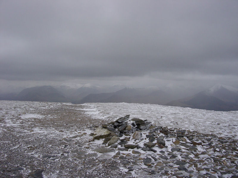
Looking towards Borrowdale from Carl Side
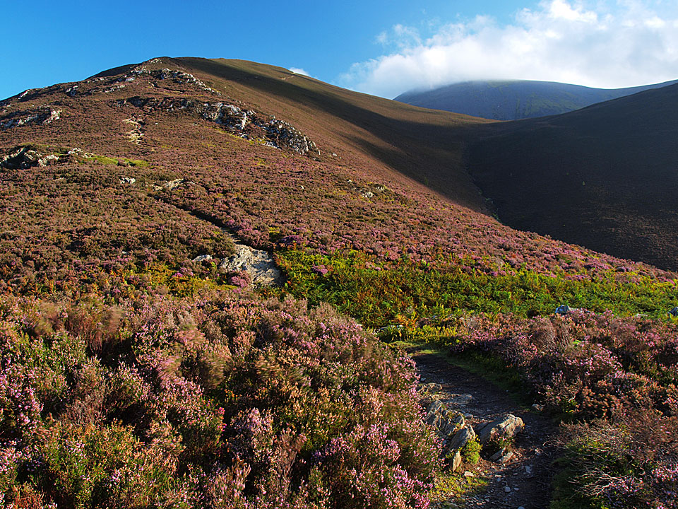
Looking towards Borrowdale from Carl Side

A heathery climb to Carl Side

A heathery climb to Carl Side

Carl Side

Walked on 26/08/2010

Start point: Millbeck (NY 255 262)

Millbeck – Doups – White Stones – Carl Side – Long Side – Ullock Pike – Longside Wood – Long Doors – Dodd – Lyzzick Wood – Millbeck

Distance: 5.5 miles     Total Ascent: 842 metres     Time Taken: 3 hours    Start Time: 08:15

Weather: Sunny. 18C

I didn’t really know where I was going to end up when I set off this morning and this was very much a dynamic walk. I intended going up to Skiddaw but I ended up going in the opposite direction and just making my mind up as I walked. The unusual descent is not really recommended unless you are in a rush and I could not resist squeezing Dodd in at the end of the walk. How I found my way through the woods below Dodd I’ll never know but as it turned out the navigation was spot on!
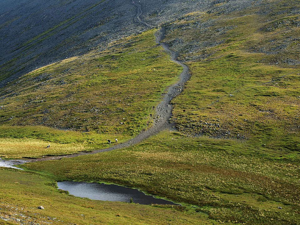
 

Carl Side

Carl Side route map.

26.08.10-001

An early start from Millbeck.

26.08.10-003

Not a bad morning but it was cool.

26.08.10-005

Derwent Water from Doups.

26.08.10-006

The north western fells.

26.08.10-016_stitch

A panoramic view from the climb.

26.08.10-020

A heathery climb to Carl Side, Skiddaw in cloud.

26.08.10-023

Dodd seems temptingly close from here.

26.08.10-024

White Stones.

26.08.10-029

Looking back along the ridge.

26.08.10-032

Carsleddam - I was thinking about descending back over there.

26.08.10-038

Carl Side summit - the wind was so cold now I needed my jacket on.

26.08.10-040

Carlside Tarn - I was going to climb Skiddaw on the path beyond but changed my mind and decided to head west instead.
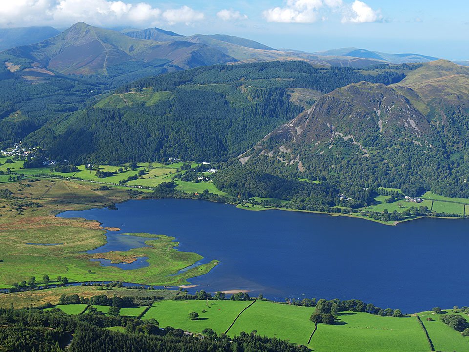
26.08.10-045

Long Side from Carl Side.

26.08.10-063

Hair raising for Dougal on Long Side.

26.08.10-064

Ullock Pike from Long Side.

26.08.10-067

Longside Edge.

26.08.10-071

The view from Ullock Pike.

26.08.10-083

Looking across Bassenthwaite Lake to Barf, Grisedale Pike up to the left. From here I took the direct route back down into Longside Wood - the quick way down!

26.08.10-088

Long Side from the forest road.

26.08.10-089

Looking for Dodd.

26.08.10-094

Dodd summit.

26.08.10-096

The early morning mist is clearing nicely now.

26.08.10-099

Bassenthwaite Lake from Dodd. I descended back to Long Doors and then along the forest track. Miraculously, I managed to find the faint and hidden path that descended all the way through Lyzzick Wood back towards Millbeck.

26.08.10-104

Phew, made it out of the trees!

26.08.10-107

Catbells and Maiden Moor.

26.08.10-109

Millbeck.

Skiddaw & The Edges

Walked on 15/03/2007

Start point: Orthwaite Road, near Bassenthwaite (NY 237 311)

Nr.Bassenthwaite – Watches – The Edge – Ullock Pike – Longside Edge – Long Side – Carl Side – Skiddaw – Broad End – Bakestall – Nr.Bassenthwaite

Distance: 7.5 miles   Total Ascent: 885 metres     Time Taken: 4 hours

Weather: Wet and windy. 7oC.

This is a great way to reach Skiddaw, walking along The Edge and Longside Edge culminating in the steep, slate path cutting diagonally across the western face of Skiddaw – but it was not so great today as the weather was pretty atrocious! Today I was joined by my friend Nick with his dog Busta, both novices of the 3000 footers – I hope it didn’t put them off for life! Needless to say we didn’t see another soul for the whole walk either (apart from Andy Lang in the car park at the end – he did the same walk!).

Skiddaw and The Edges

15.03.07-002

Binsey from the climb to Watches.

15.03.07-003

Broad End and Skiddaw across Southerndale.

15.03.07-005

Looking from Watches to The Edge and Ullock Pike with Long Side and Carl Side beyond.

15.03.07-007

The cloud is down on Skiddaw from the rock formations on Watches.

15.03.07-008

Walking towards The Edge, with Busta, Angus and Casper leading the way.

15.03.07-012

On The Edge with Ullock Pike ahead.

15.03.07-017

Ullock Pike, the wind is starting to blow and the drizzle approaching from the west.

15.03.07-019

Bassenthwaite Lake through the mist. This is the last view of the day from Ullock Pike as the cloud came down and the relentless rain started.

15.03.07-021

Angus looking a bit fed up with the weather.

15.03.07-025

Casper on the climb to Skiddaw.

15.03.07-026

Here comes Nick out of the mist being battered by the wind on the slate path to Skiddaw. This view sums up the day nicely!

15.03.07-030

On the summit of Skiddaw in a really strong and cold wind. That's it! Camera away now and not to reappear as it was rain, rain, rain all the way back. From here we dropped down to Broad End then Bakestall before contouring Broad End to Barkbethdale and into Southerndale.

Skiddaw

Walked on 28/02/2005

Start point: Orthwaite Road, near Bassenthwaite (NY 237 311)

Bassenthwaite – Watches (300) – The Edge – Ullock Pike (301) – Longside Edge – Long Side (302) – Carl Side (303) –Skiddaw (304-308) – Broad End (309) – Bakestall (310) –  Cockup (311)– Bassenthwaite

Distance: 7.9 miles     Total Ascent: 1229 metres     Time Taken: 3 hours 40 minutes

Weather: Cold, many snow showers with blizzard conditions on Skiddaw.

Today’s walk is to Skiddaw via The Edge and Longside Edge – a really great route of ascent. The weather worsened throughout the walk and crampons were required for the steep ascent to Skiddaw. Once on the top, the blizzard whipped up and there was a complete white-out.

Skiddaw

Elevation

Elevation profile of the route.

Skiddaw 3D

3D image of the walk route.

panorama 2_small

Summit panorama from Watches. See below for an annotated version of this photo.

panorama 2_small_annotated

panorama 3_small

Bassenthwaite Lake from The Edge.

Skiddaw - 28.02.05 016

Longside Edge from Ullock Pike.

Skiddaw - 28.02.05 018

Looking back to Ullock Pike from Longside Edge.

Skiddaw - 28.02.05 024

Carl Side and Skiddaw Little Man from Long Side.

Skiddaw - 28.02.05 028

Looking towards Borrowdale from Carl Side.

Skiddaw - 28.02.05 033

A frozen Carlside Tarn.

Skiddaw - 28.02.05 035

The steep path to Skiddaw. Crampons and ice axe were required for this ascent (for me, not Angus!).

panorama 5_small

Panoramic view of the route - Carl Side is on the left, then Long Side, Longside Edge and Ullock Pike.

Skiddaw - 28.02.05 046

White out on Skiddaw. Birkett counts five separate tops on Skiddaw - South Top, Middle Top, High Man, North Top and Broad End.

Skiddaw - 28.02.05 050

Bakestall from Cockup.

Skiddaw - 28.02.05 054

Binsey through a snow shower.

panorama 6_small

Panorama of The Edge and Bassenthwaite Lake from the Southerndale side.

Skiddaw - 28.02.05 072

Ullock Pike and Long Side from Southerndale.

Longside Edge

Walked on 20/01/2004

Near Bassenthwaite (NY 237311) – Watches – Ullock Pike (170) – Long Side (171) – Carl Side (172) – Skiddaw – Broad End – Bakestall –  Cockup – Near Bassenthwaite

A gloomy day, the cloud base being at a very low level, so no good views today unfortunately.

Longside Edge

Ullock Pike - 20th January 001

A view of Bassenthwaite Lake from the beginning of the walk on the climb to Watches.

Ullock Pike - 20th January 003

The summit cairn of Watches.

Ullock Pike - 20th January 005

The strange rock formation on Watches.

ULLOCK PIKE - 20th January 007

Ullock Pike summit cairn.

LONG SIDE - 20th January 010

Long Side summit cairn.

CARL SIDE - 20th January 011

Carl Side summit.

Ullock Pike - 20th January 013

Carlside Tarn.

Ullock Pike - 20th January 015

Skiddaw summit trig and viewpoint columns.

Ullock Pike - 20th January 016

I wish...!

Ullock Pike - 20th January 017

Bakestall summit.

Ullock Pike - 20th January 021

Southerndale Beck.


Walking Diary

  • The Mosedale Horseshoe 01/03/2022
  • Caw 18/01/2022
  • Coniston sunset 17/01/2022
  • Blencathra 15/01/2022
  • Scafell Pike 14/01/2022

Social

  • Facebook
  • Twitter

Information

  • Striding Edge
  • T&C’s
  • Privacy
  • Links