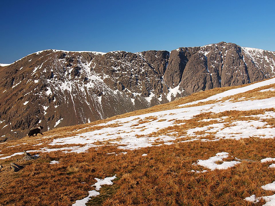
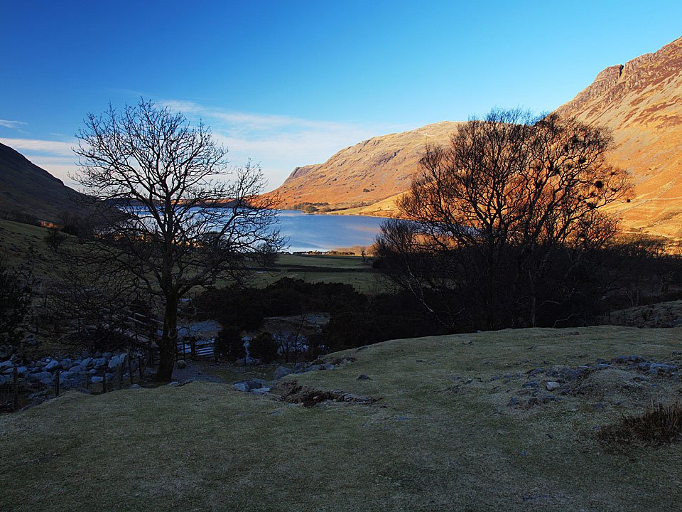
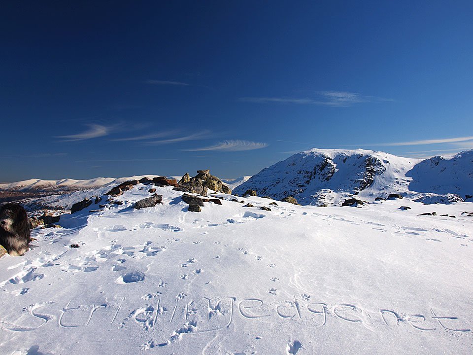
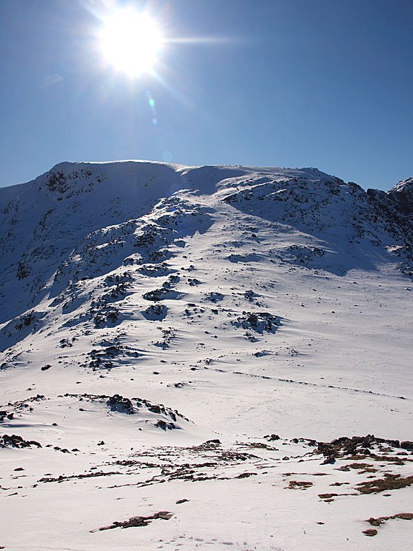
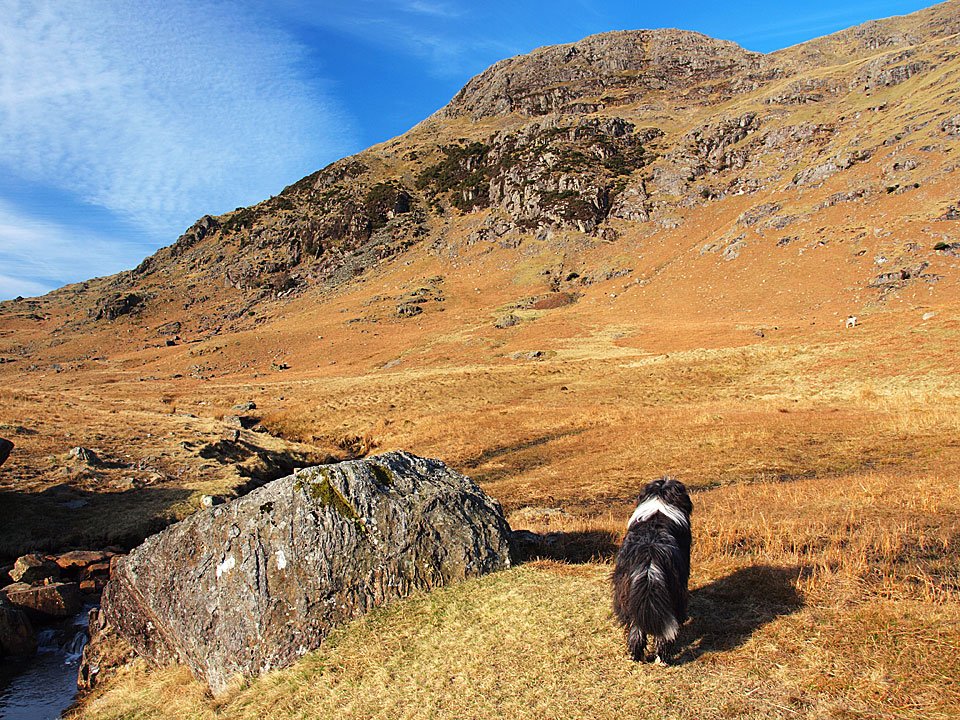
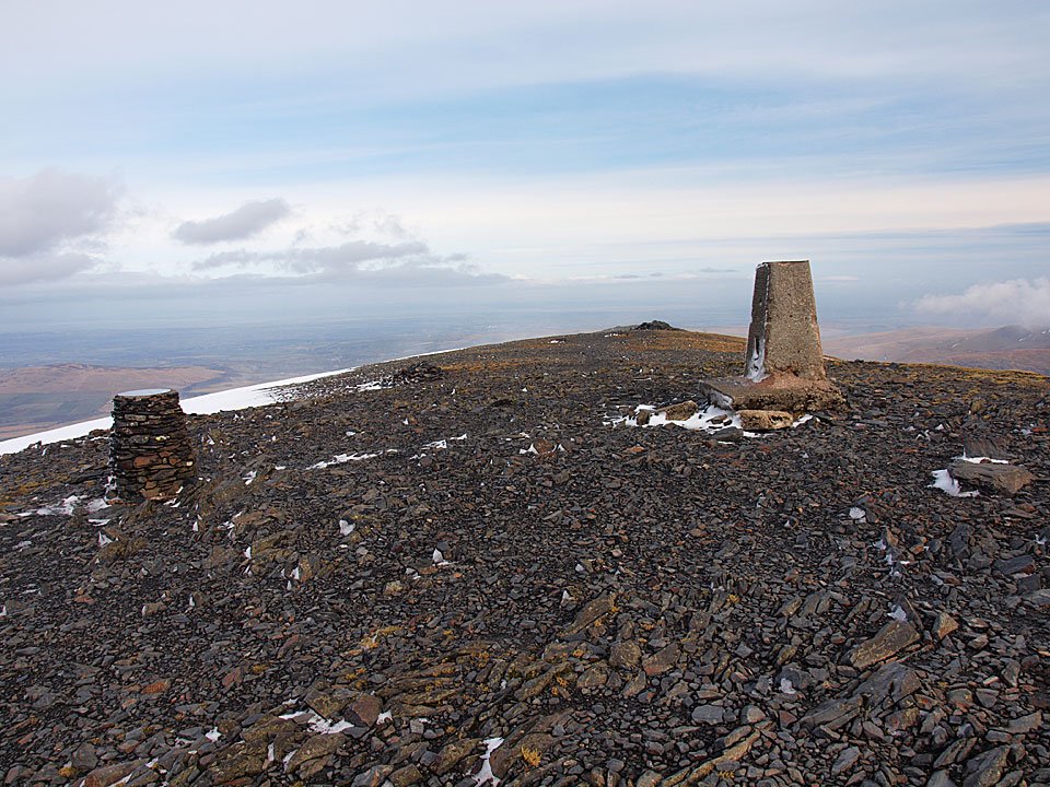
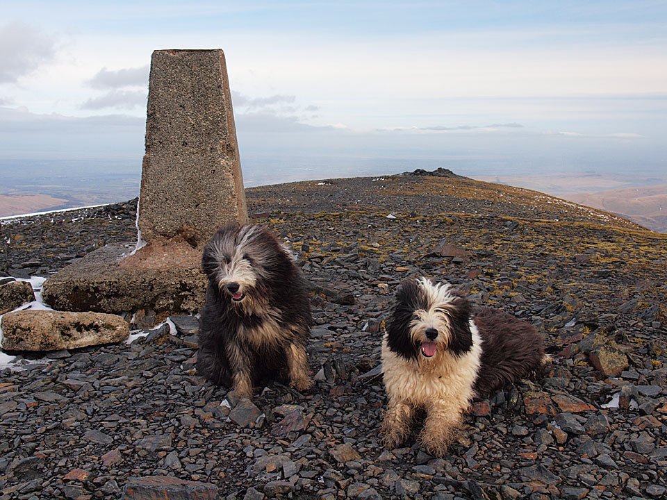
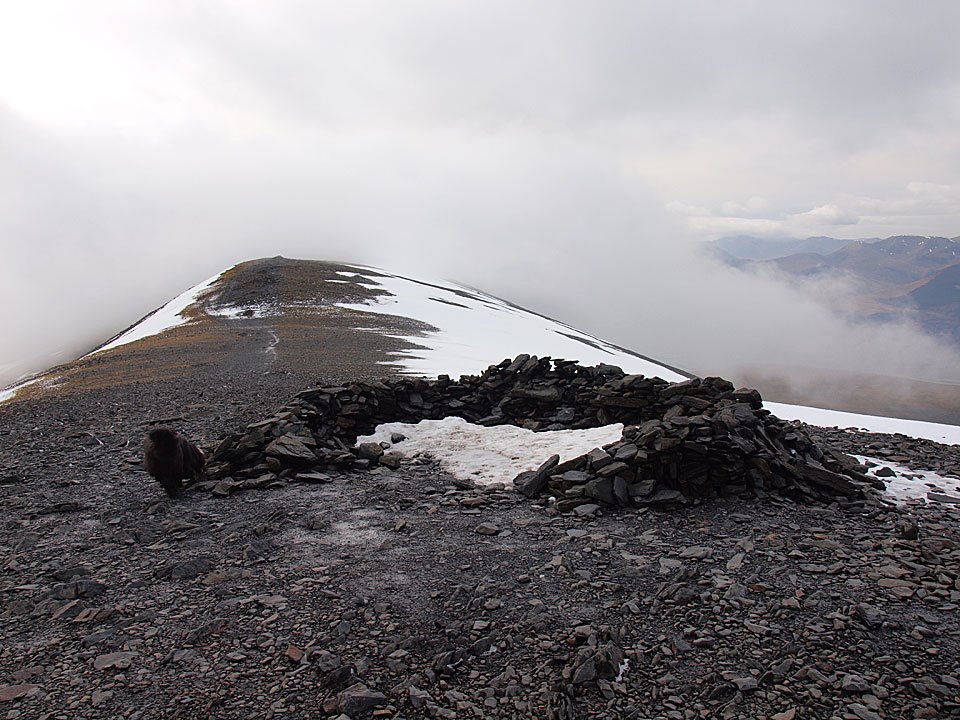
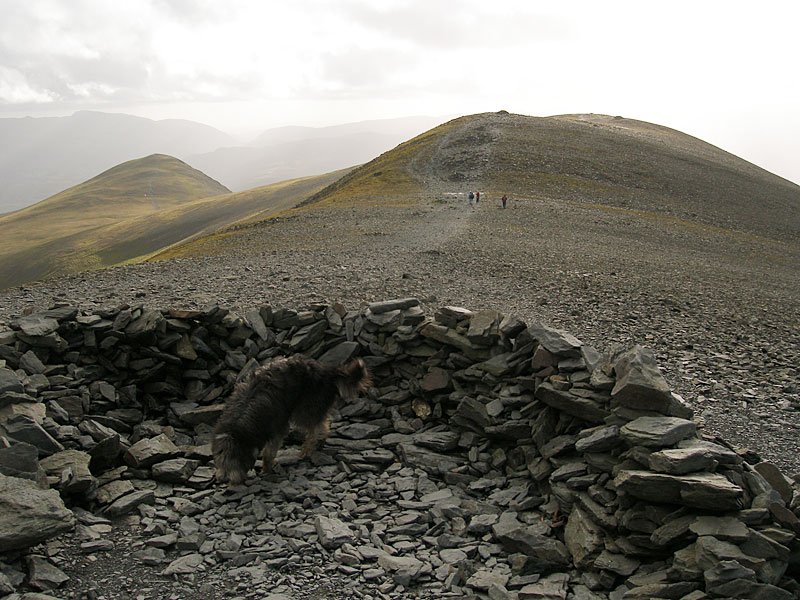
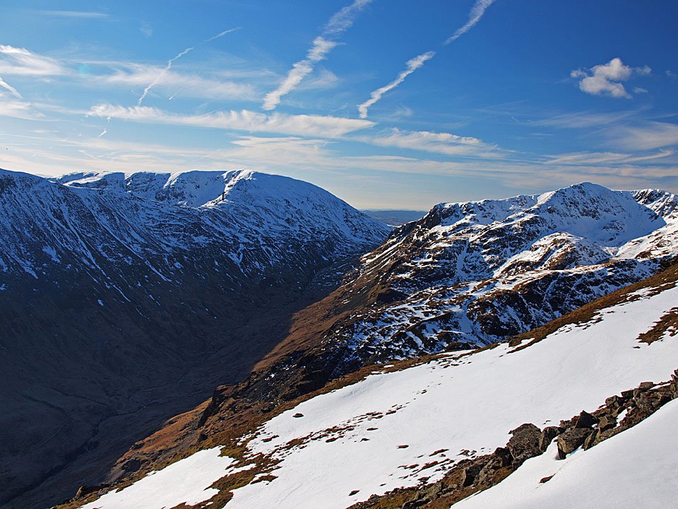
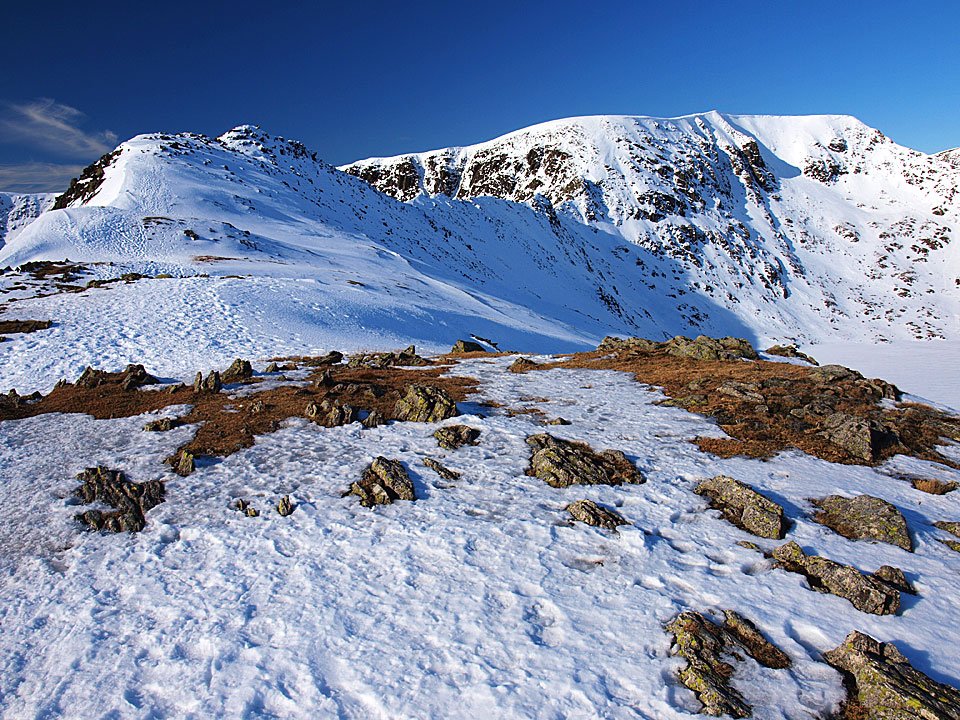
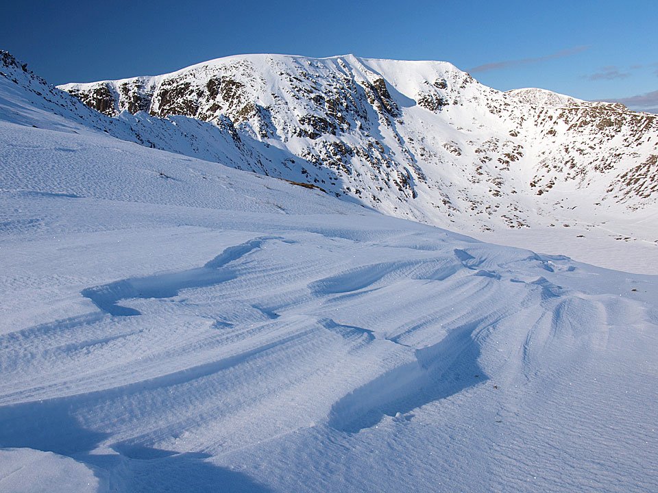
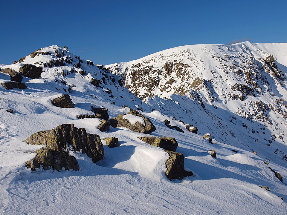
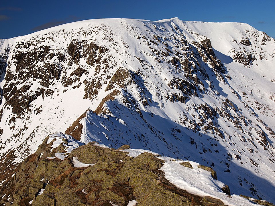
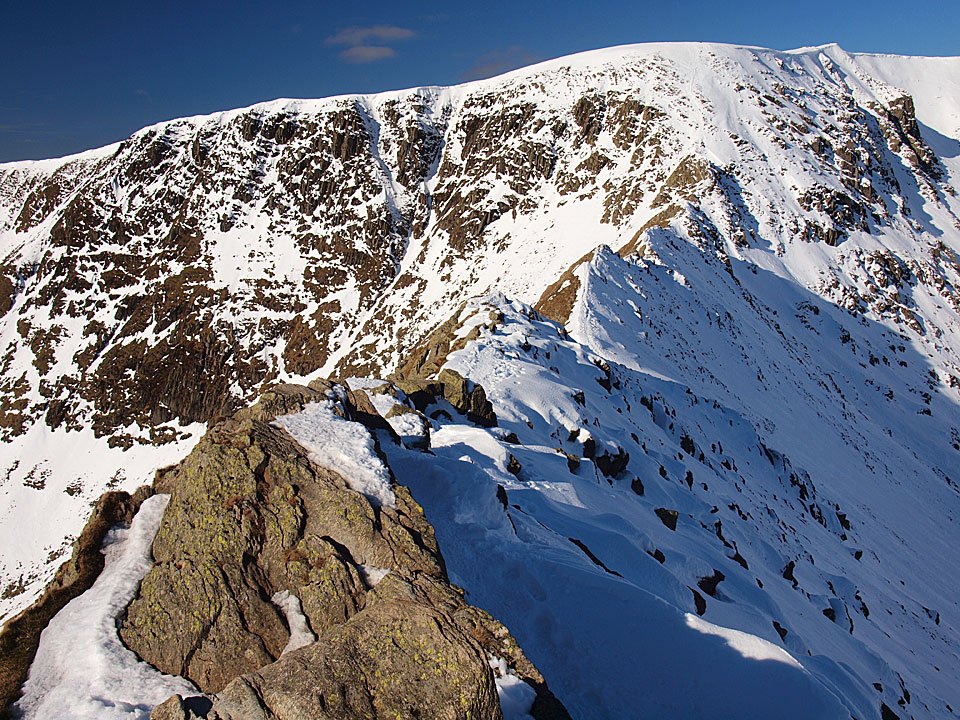
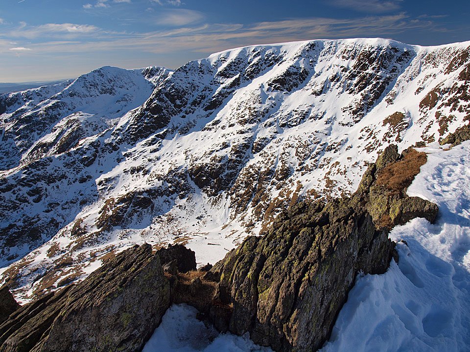
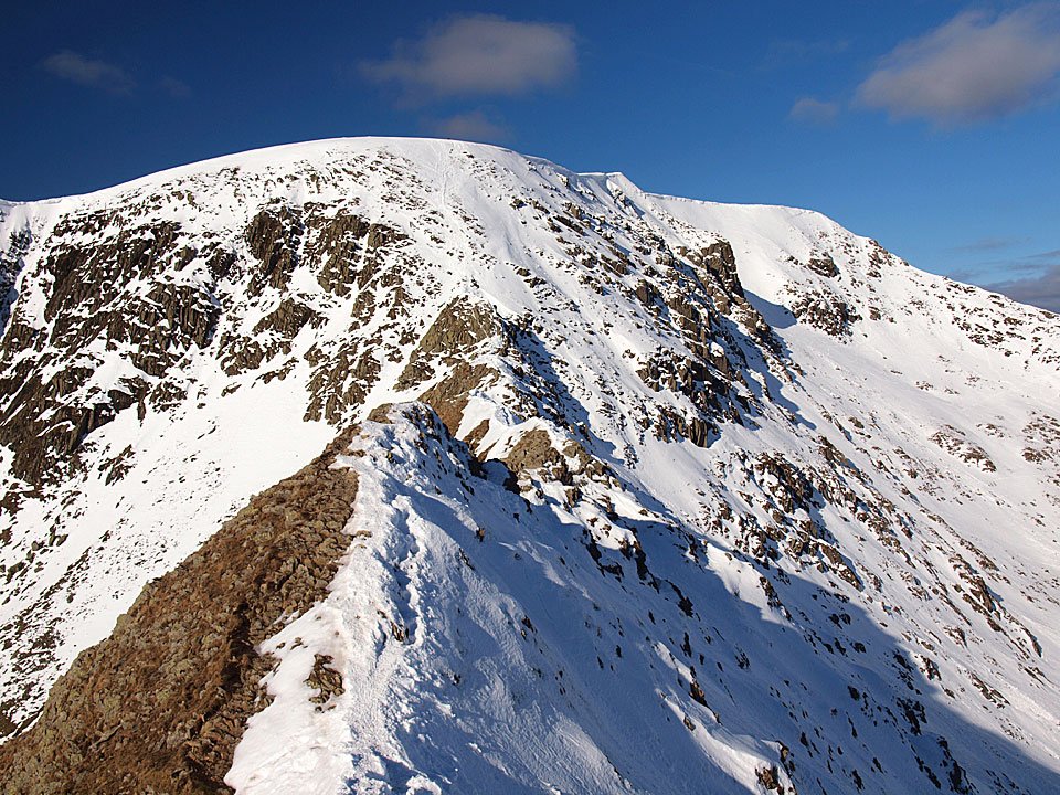
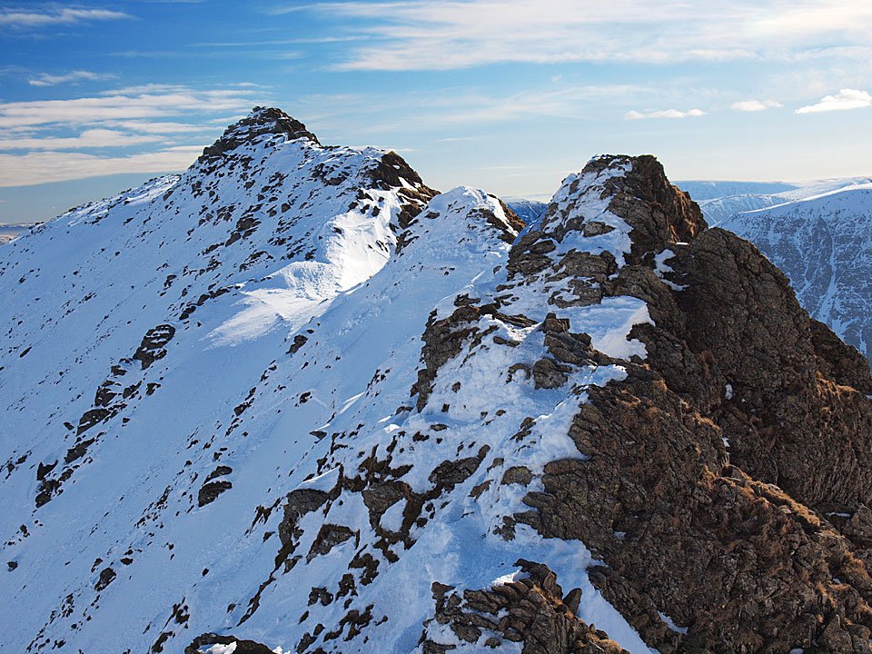
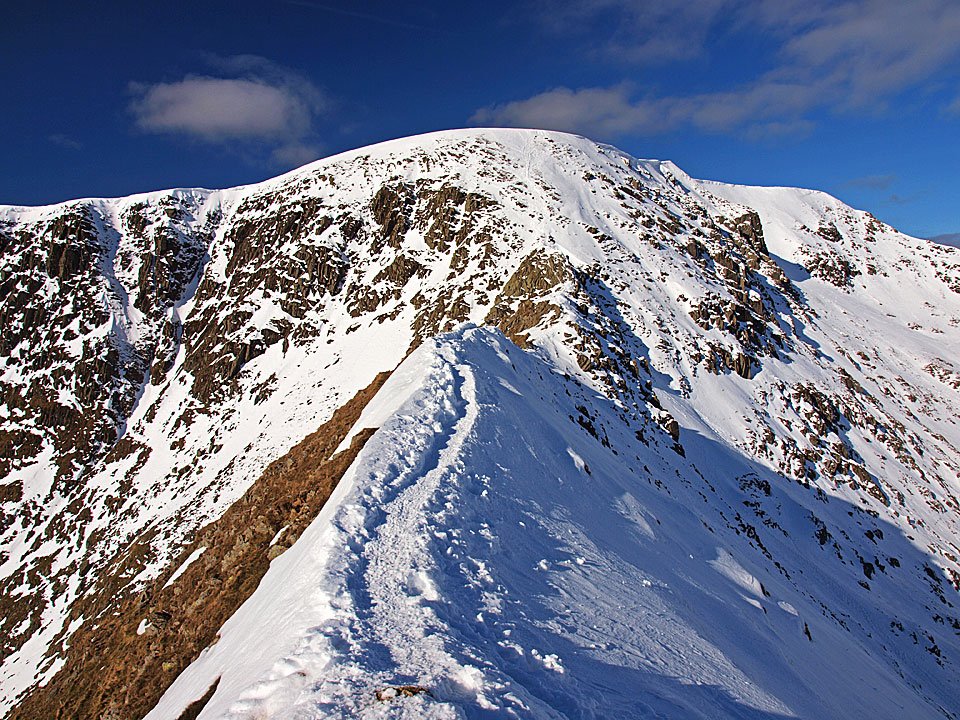
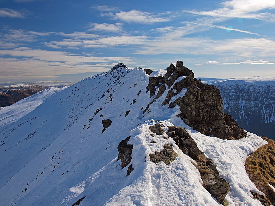
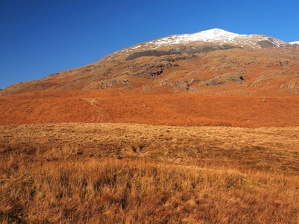
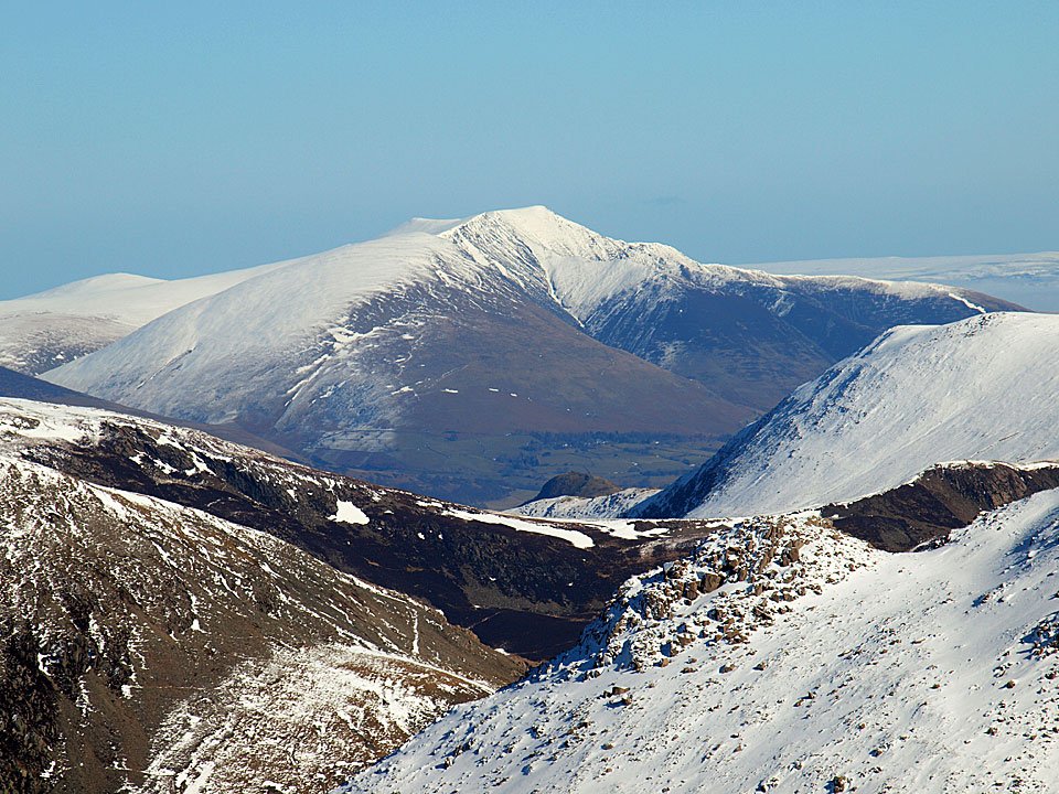
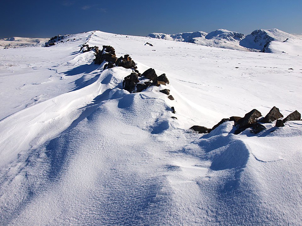
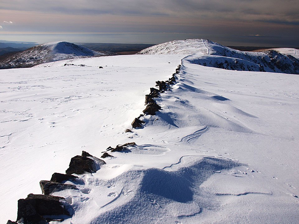
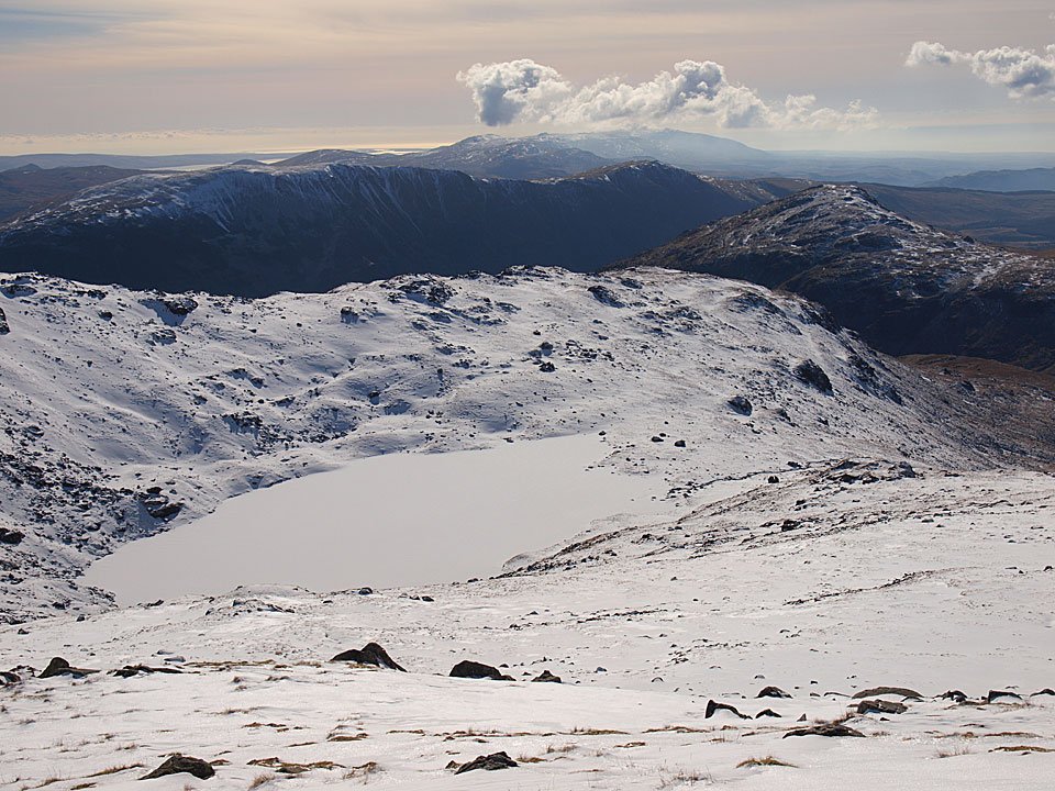
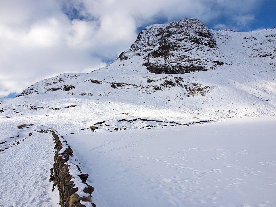
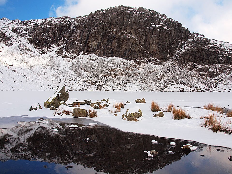
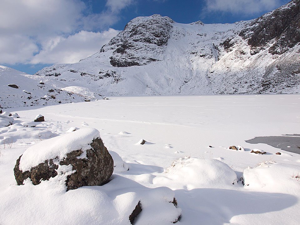
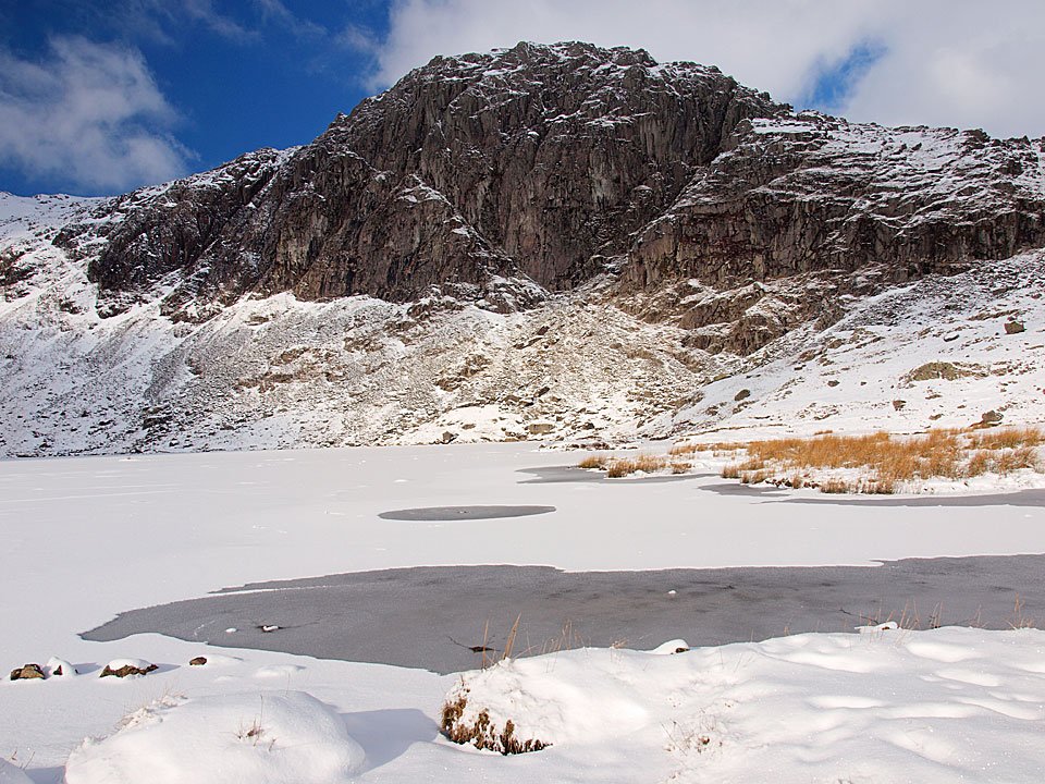
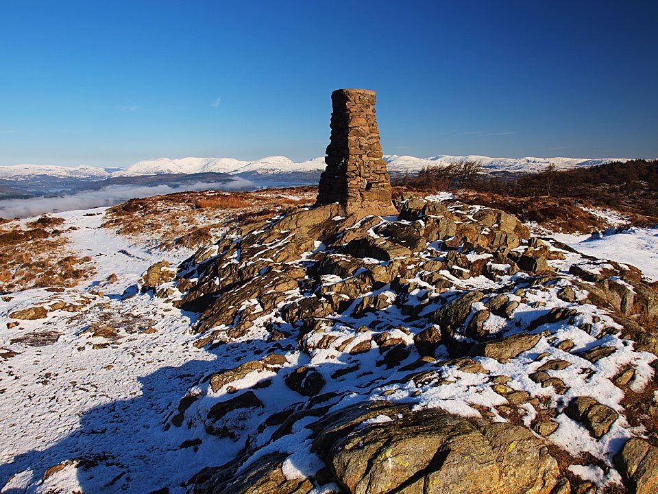
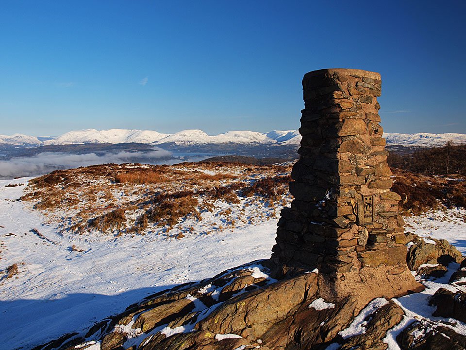
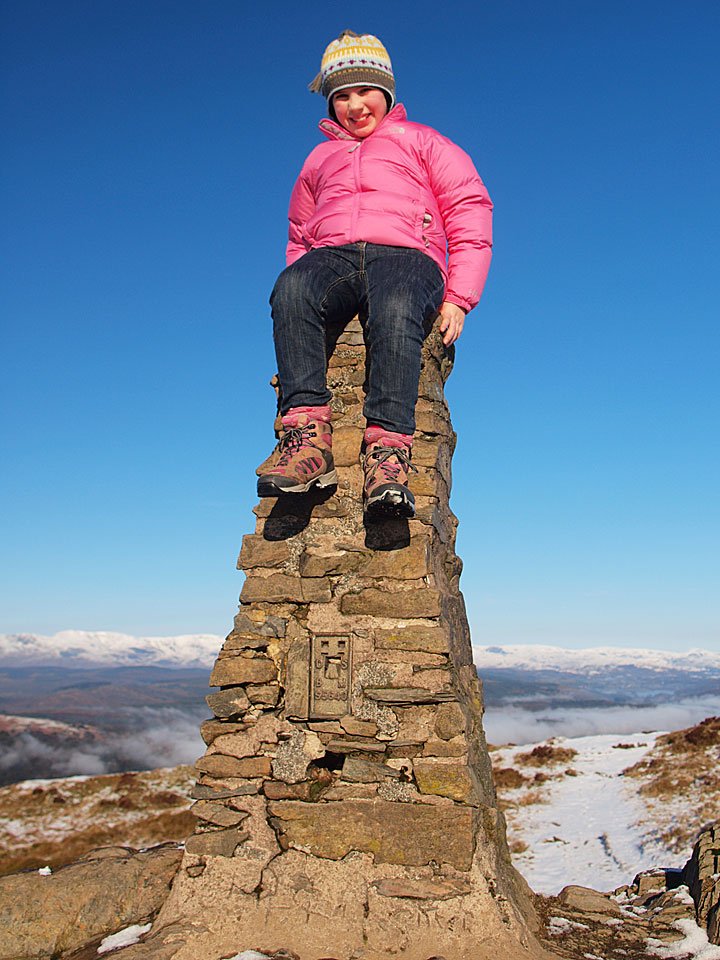
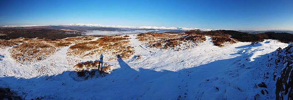
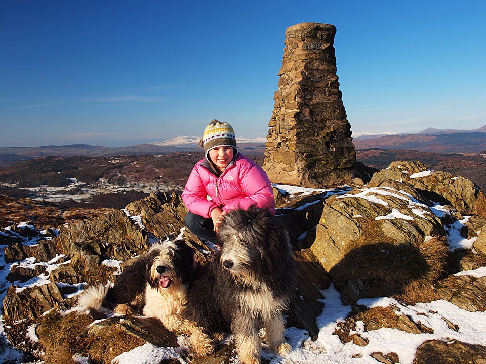
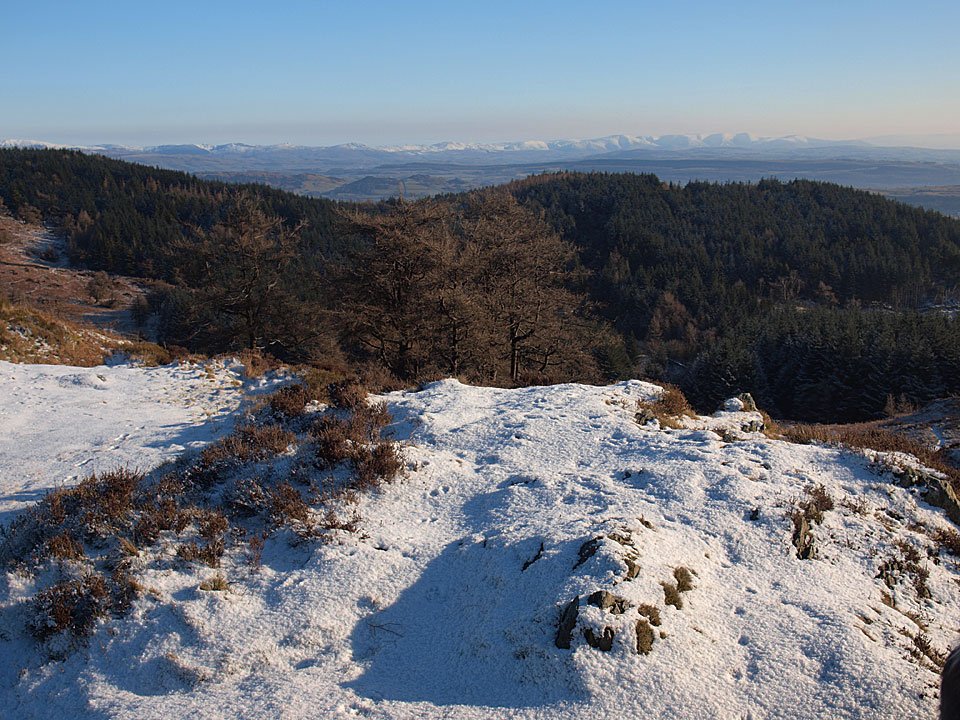
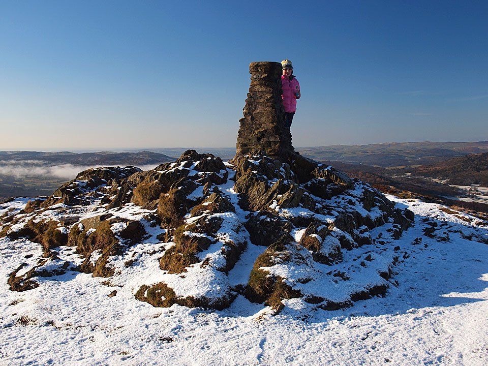
Striding Edge

A photo diary of Lake District fell walks

  • Walks
  • Fells
    • Wainwrights
      • Eastern Fells
      • Far Eastern Fells
      • Central Fells
      • Southern Fells
      • Northern Fells
      • North Western Fells
      • Western Fells
      • Outlying Fells
    • Birketts
  • Dogs
  • Love The Lakes
  • Contact

Bowfell

Walked on 11/02/2010

Start point: The Old Dungeon Ghyll car park (NY 286 062)

Old Dungeon Ghyll – Rossett Gill – Rossett Pike – Angle Tarn – Esk Hause – Esk Pike – Ore Gap – Bowfell – Three Tarns – Buscoe – Oxendale – Old Dungeon Ghyll

Distance: 9.1 miles     Total Ascent: 1016 metres     Time Taken: 4 hours 45 minutes

Weather: Cool and clear. 4°C

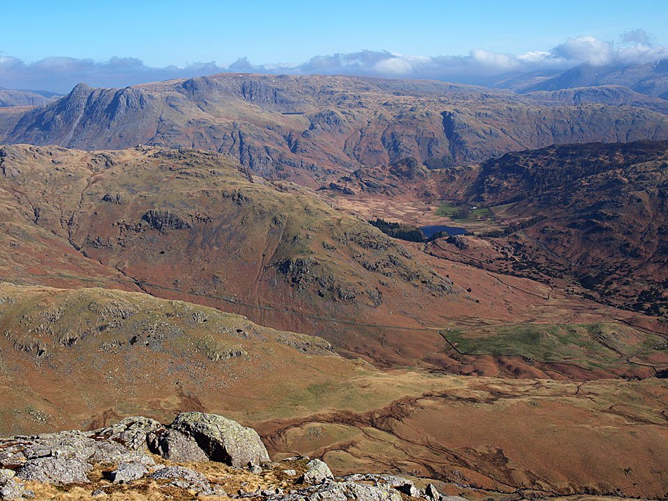
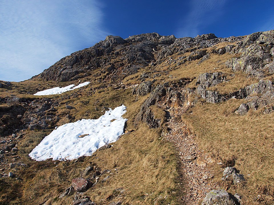
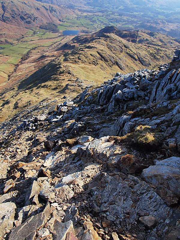
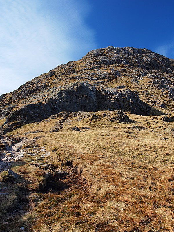
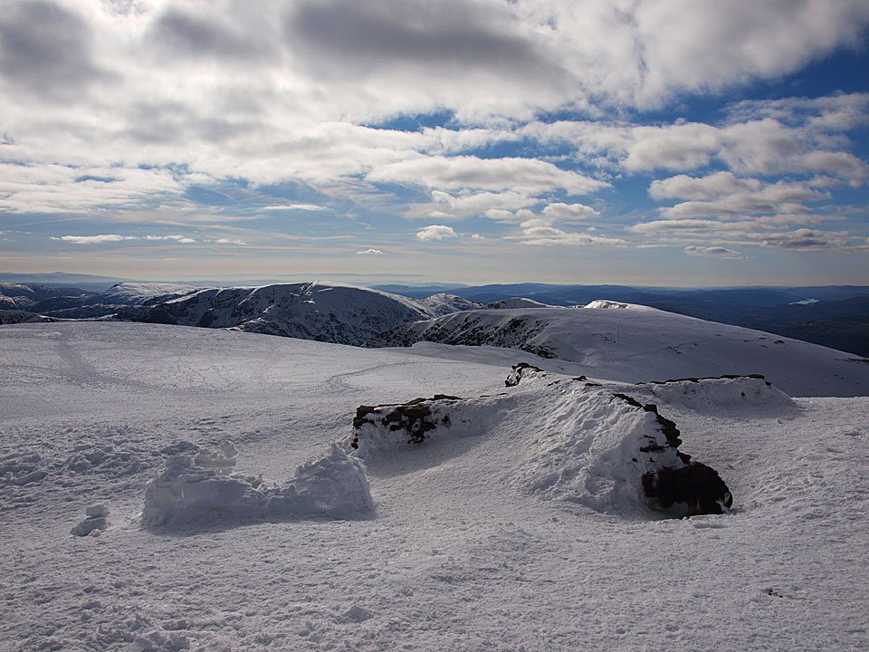
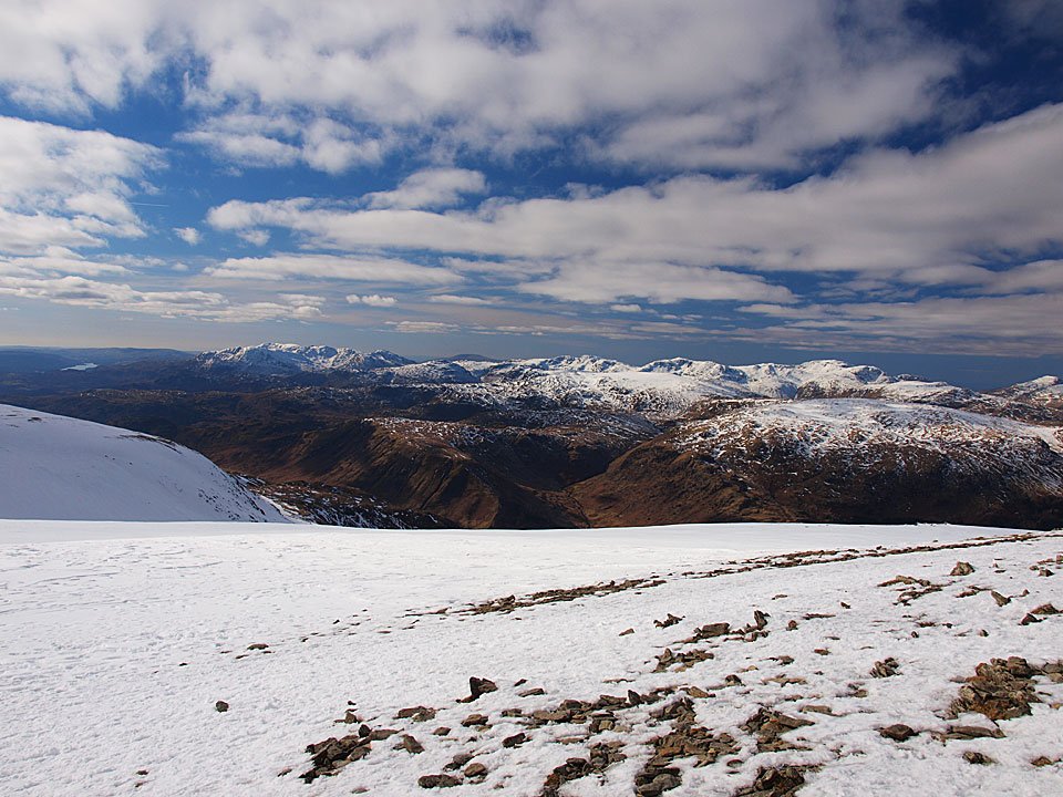
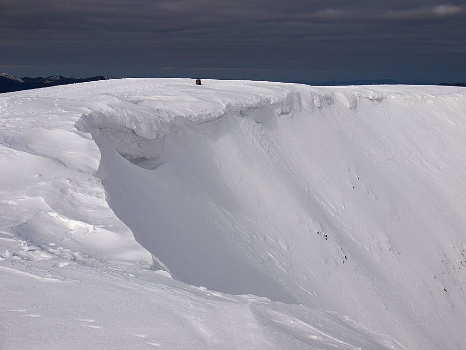
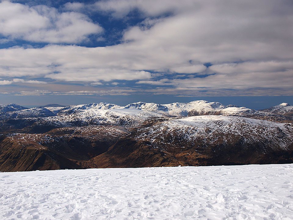
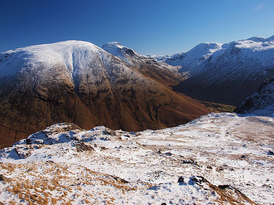
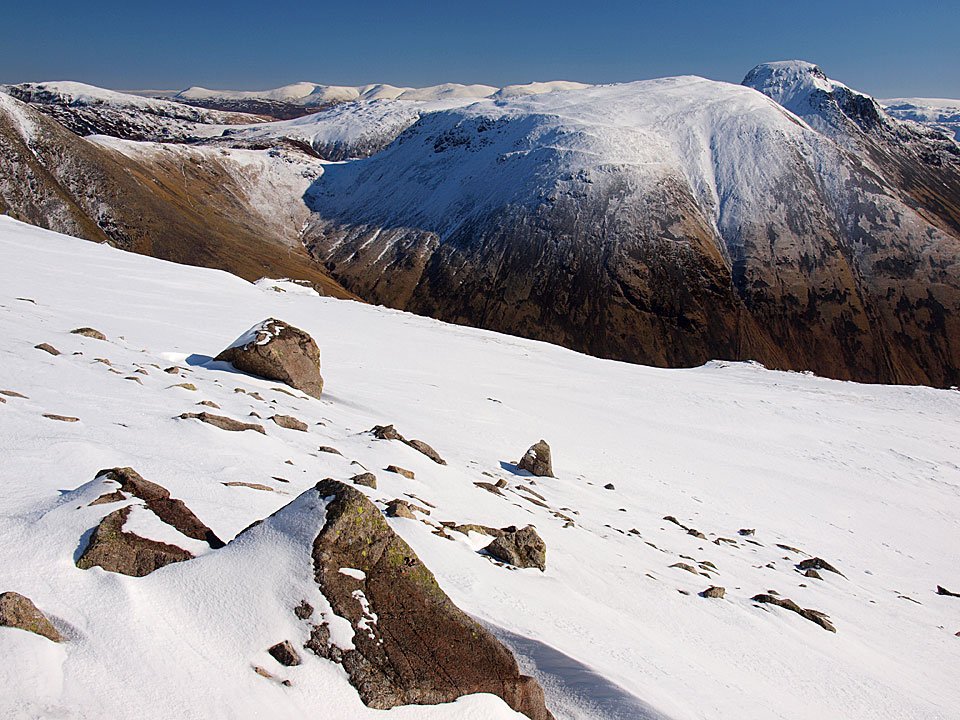
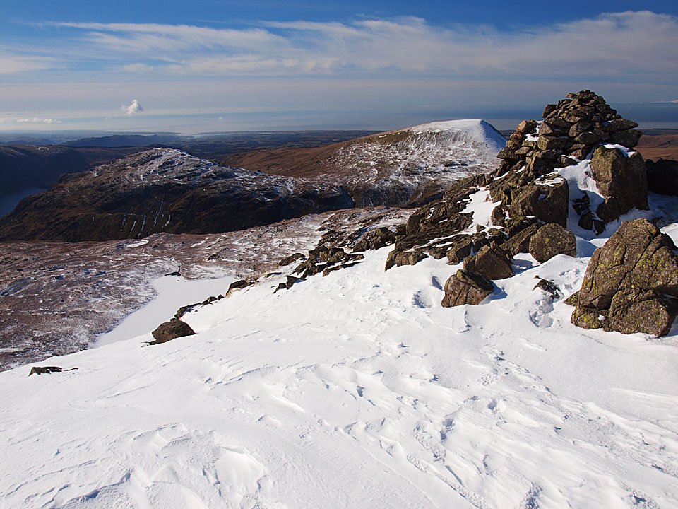
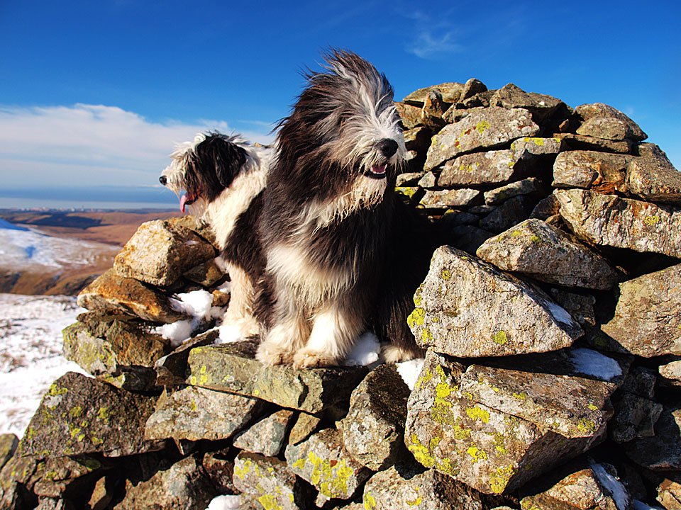
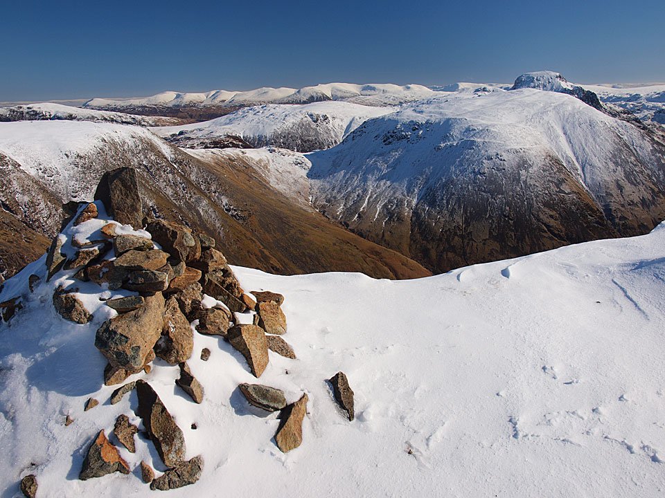
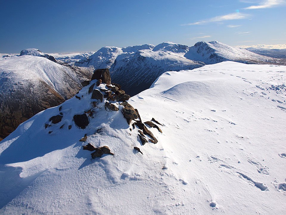
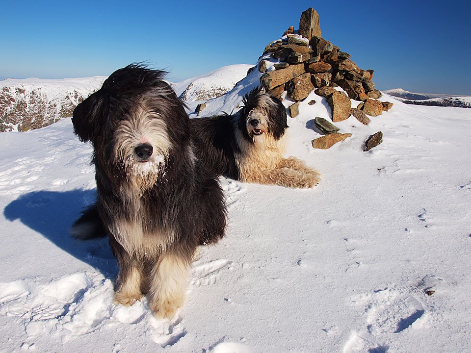
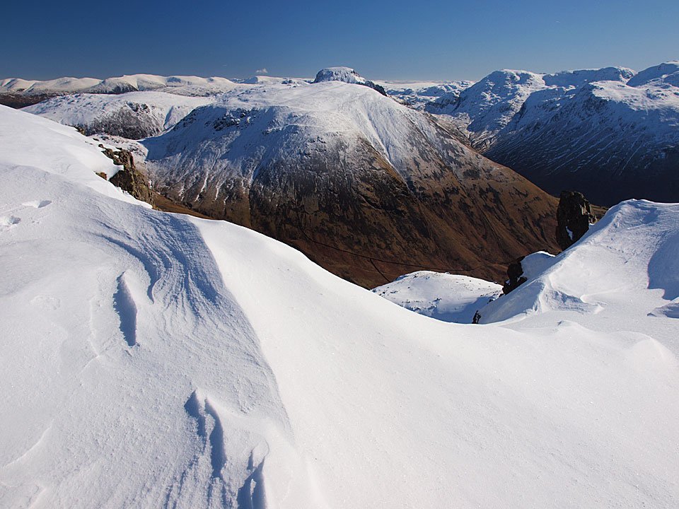
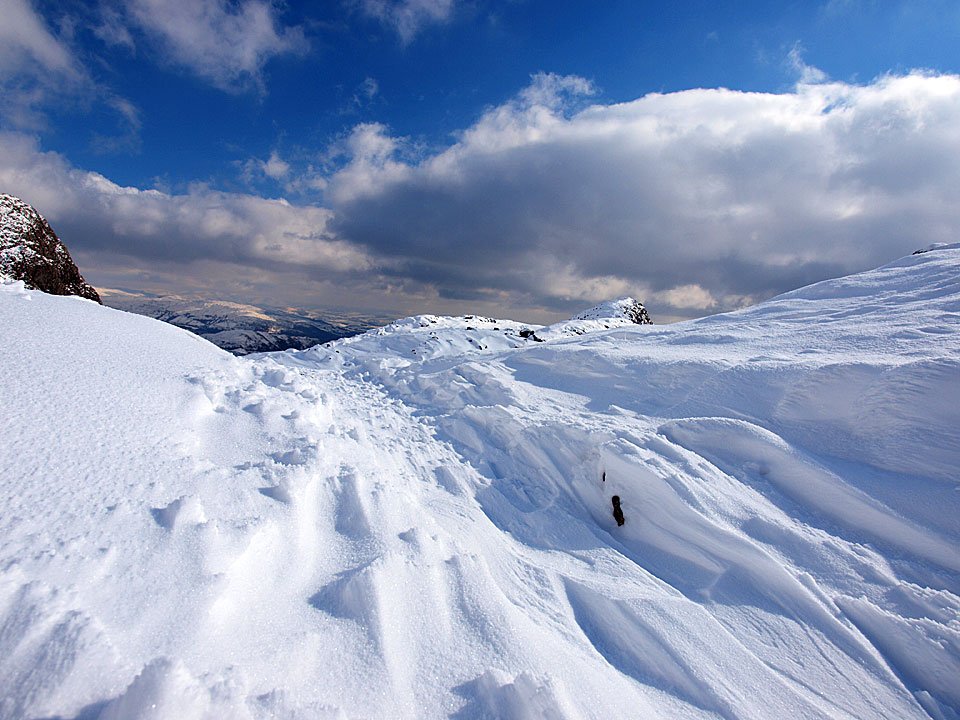
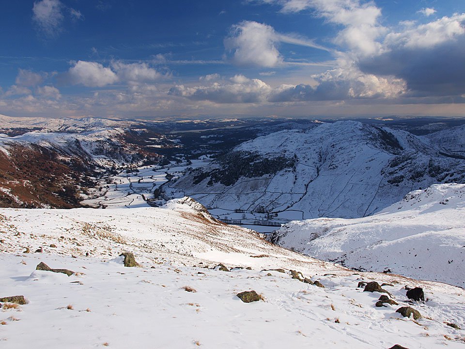
It started off really dull and it clouded over almost as soon as I set off from Great Langdale – but lo and behold, the sun came out and the skies soon became glorious blue. It really was great day on the fells, most of the walk was completed in shirt sleeves and even though it was icily cold, the sun really warmed it up. It was really quiet up there too and I only saw two other people – on the descent to Three Tarns.

Bowfell

11.02.10-001

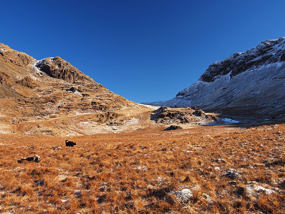
It was decidedly grey at the start of the walk along Mickleden - I didn't hold out much hope for the weather today, but pressed on regardless.

11.02.10-021

Mind you, it looks a bit brighter over Pike o' Stickle now.

11.02.10-023

Looking back along Mickleden to Great Langdale.

11.02.10-034

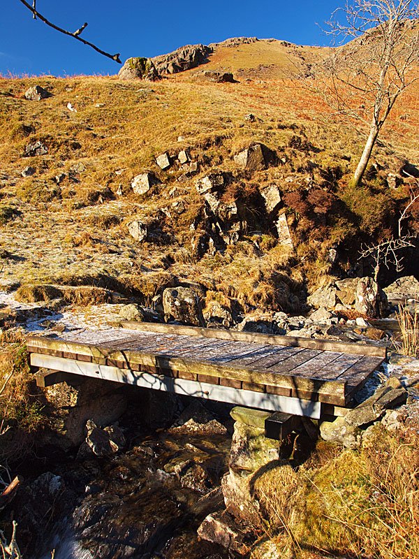
Bowfell from the bridge across Stake Gill.

11.02.10-036

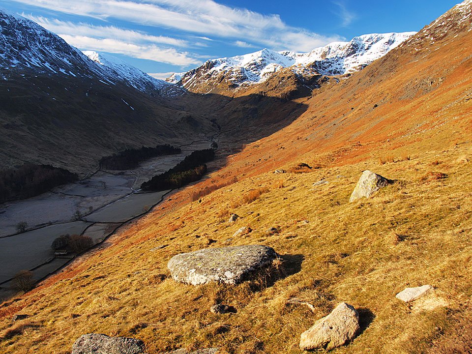
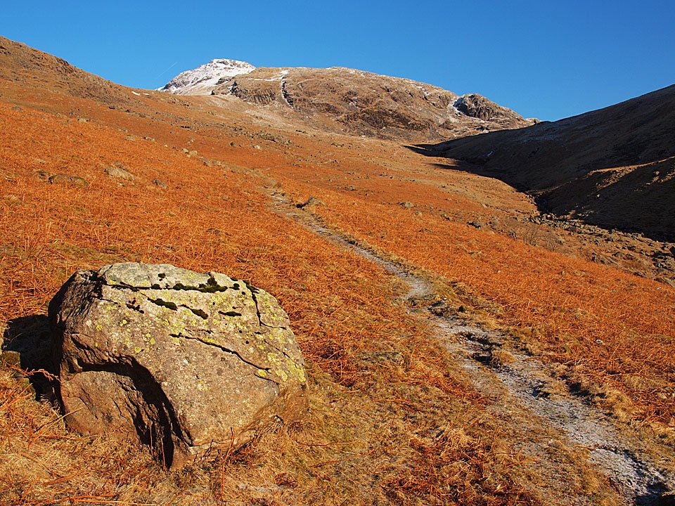
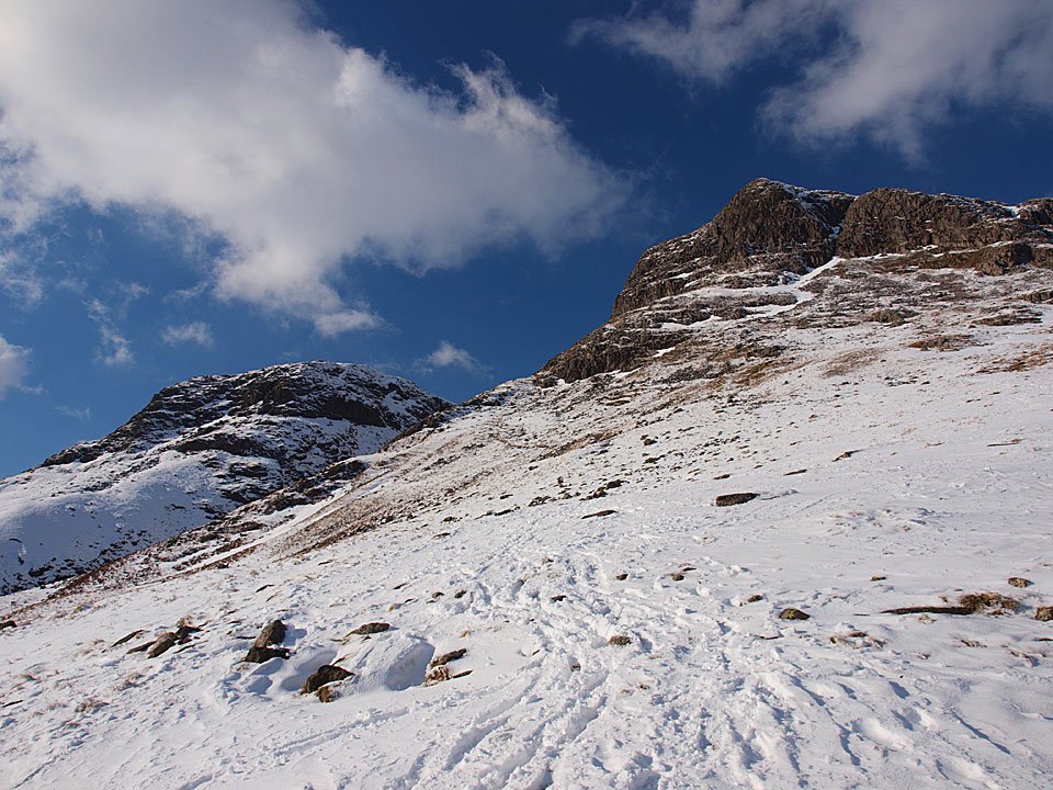
The start of the Rossett Gill path, Bowfell ahead and Rossett Pike to the right.

Rossett Pike

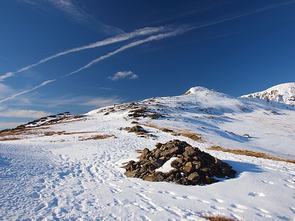
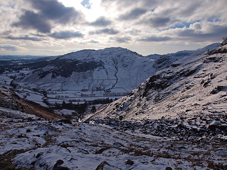
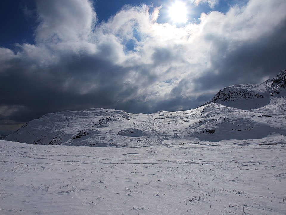
Rossett Pike looking resplendent in the sunshine and what a difference in the weather in less than an hour.

11.02.10-042

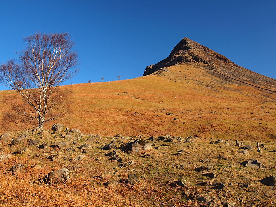
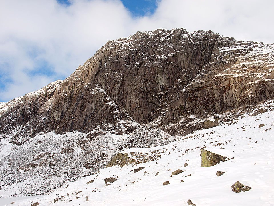
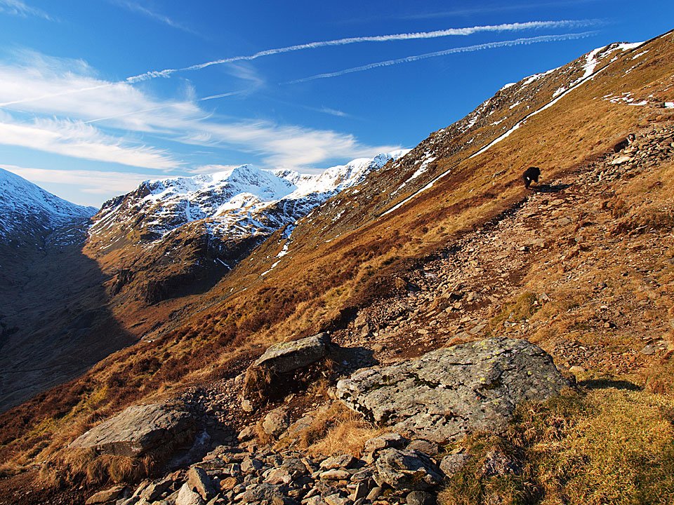
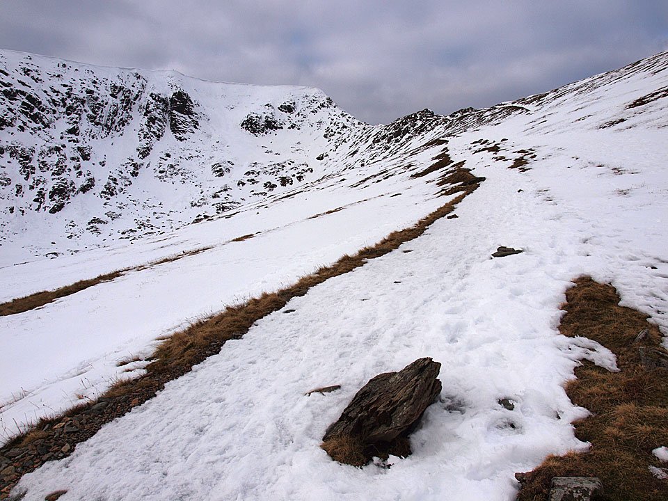
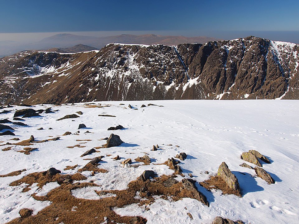
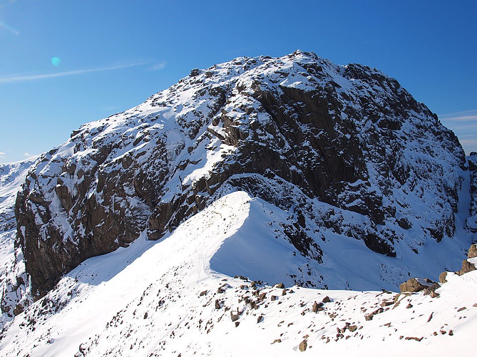
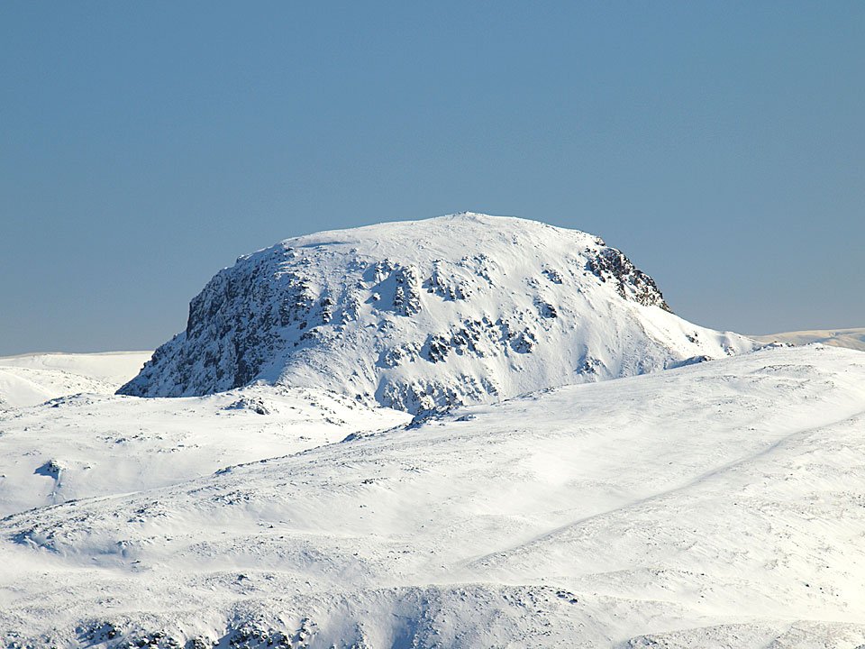
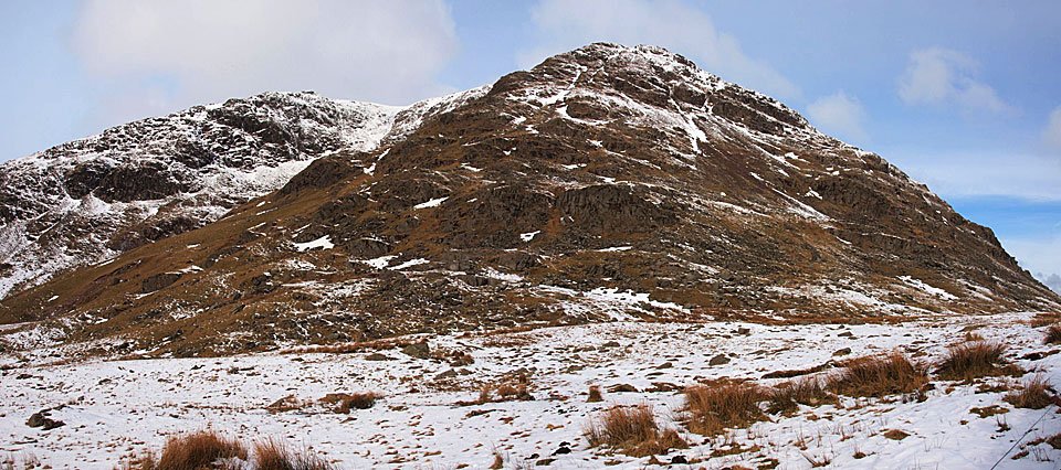
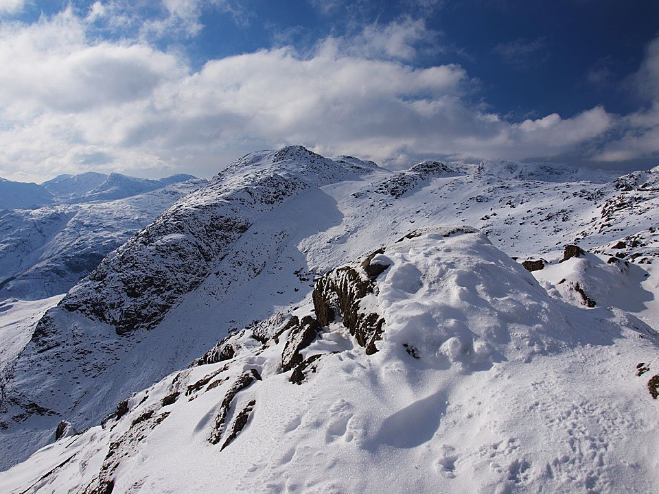
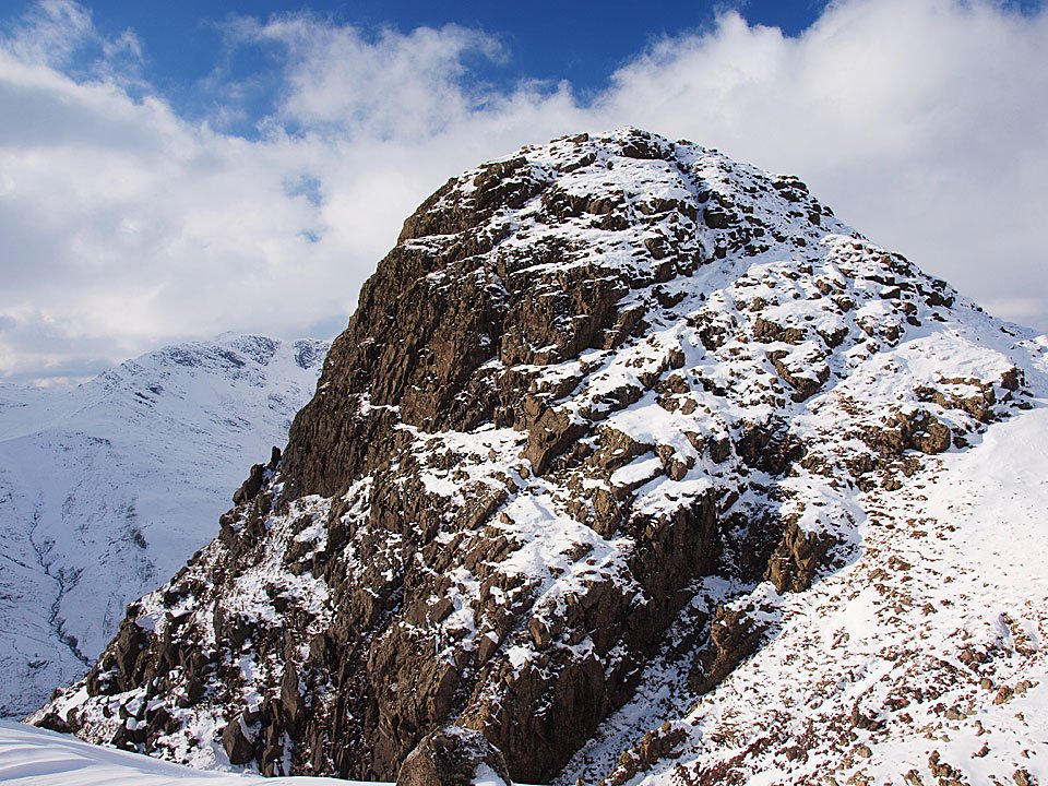
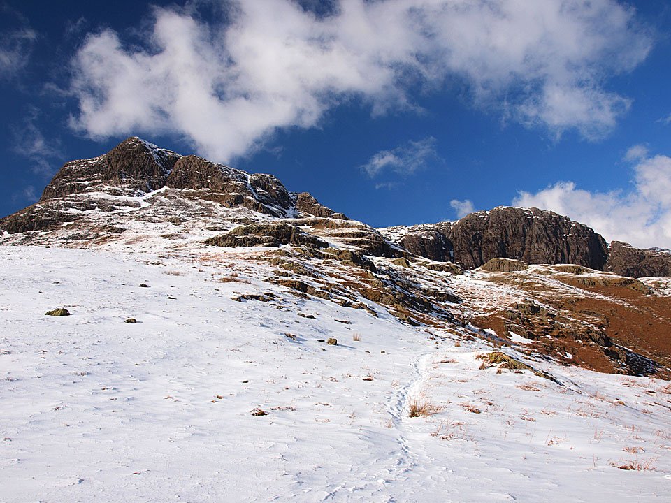
Bowfell from the Rossett Gill path, Bowfell Buttress is the lofty pinnacle.

11.02.10-044

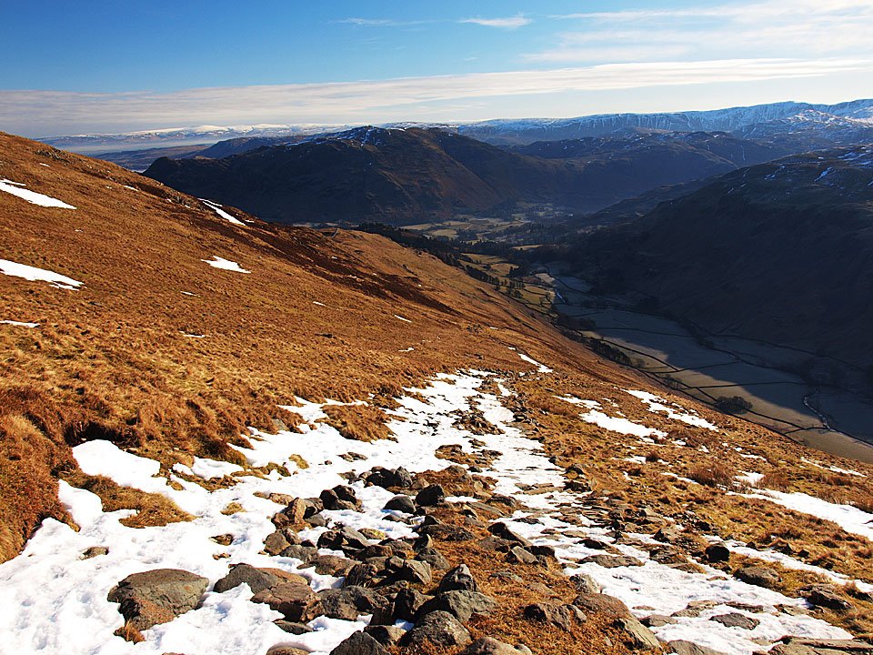
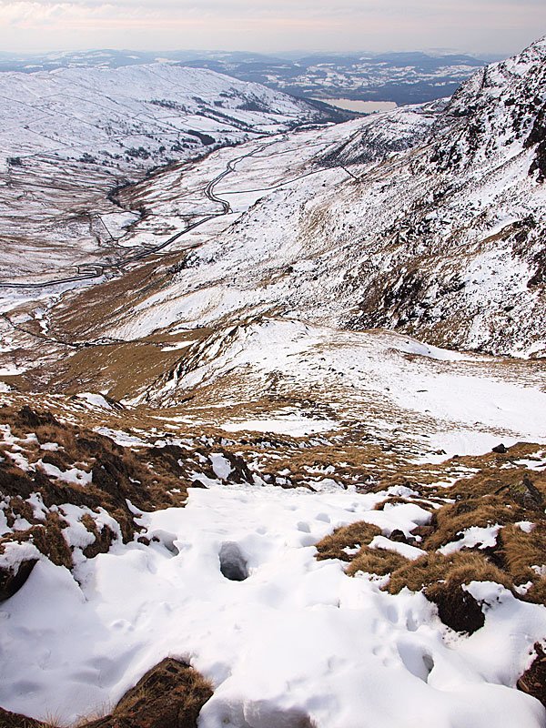
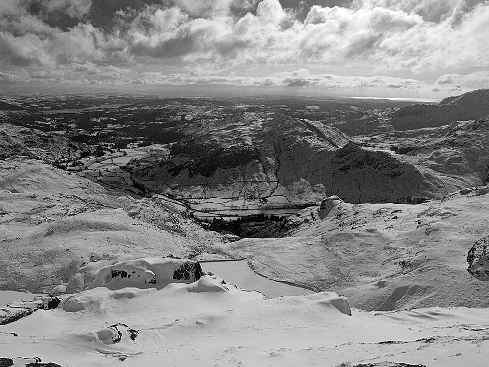
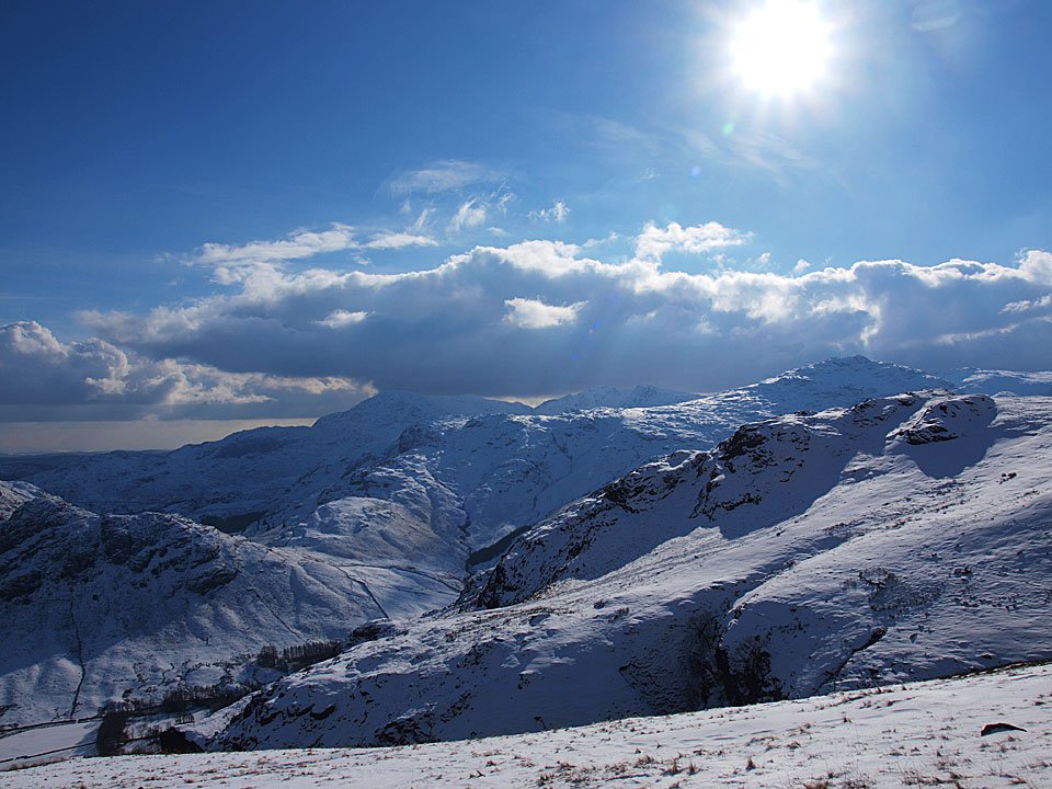
Mickleden and the Langdale Pikes from the zig-zags.

11.02.10-051

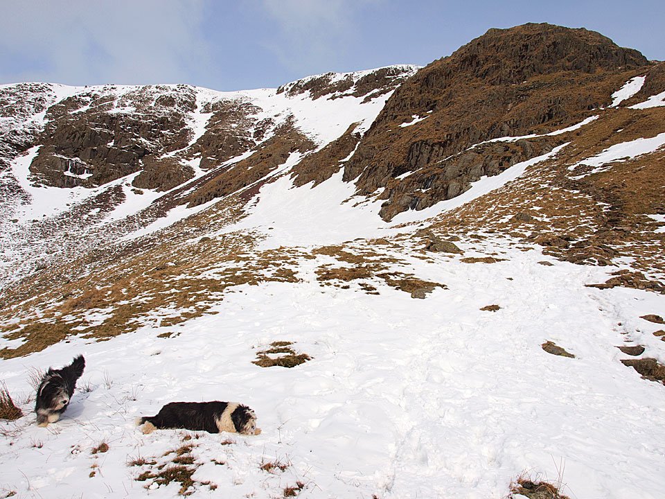
Casper comes back to see where I am in this snow filled gully.

11.02.10-054

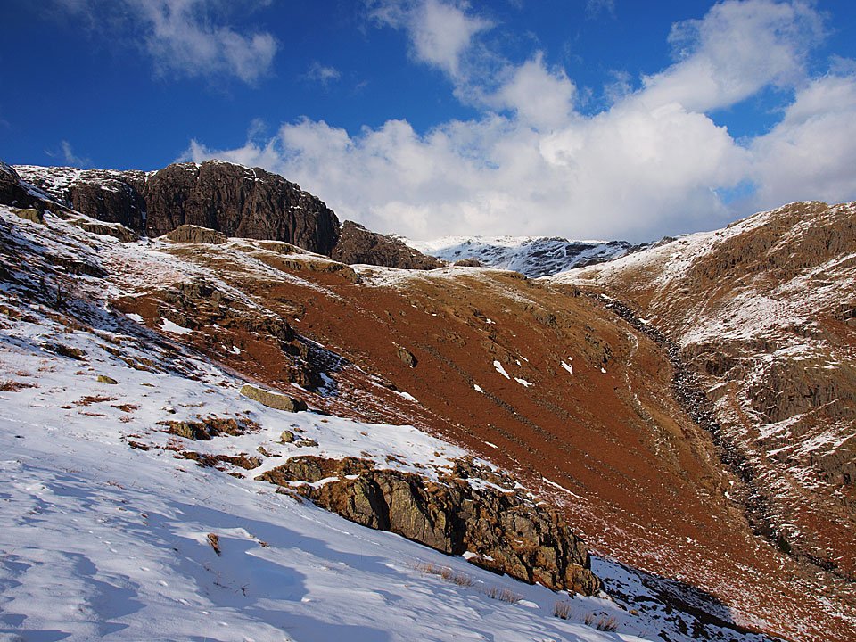
Rossett Pike from the top of Rossett Pass.

11.02.10-058

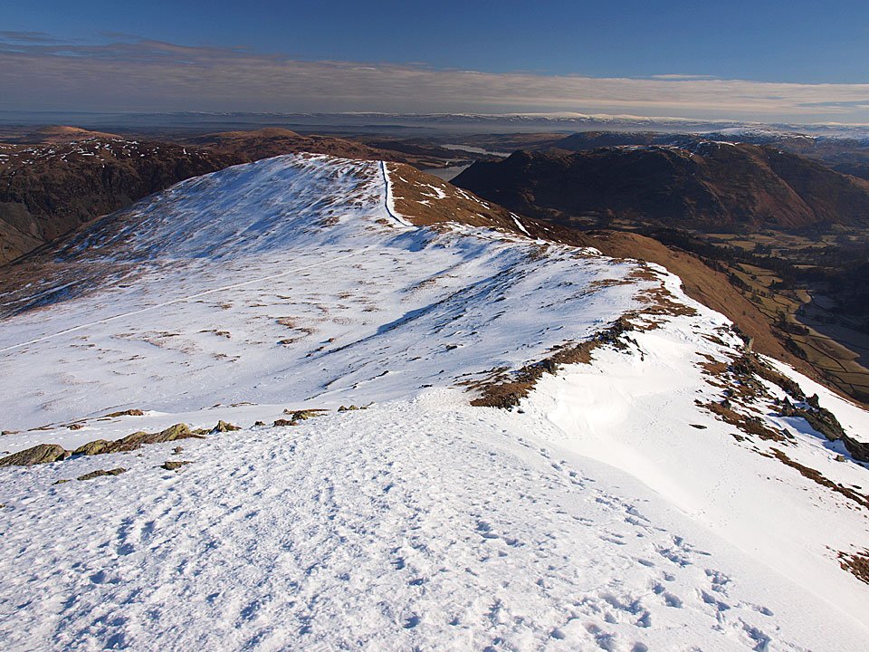
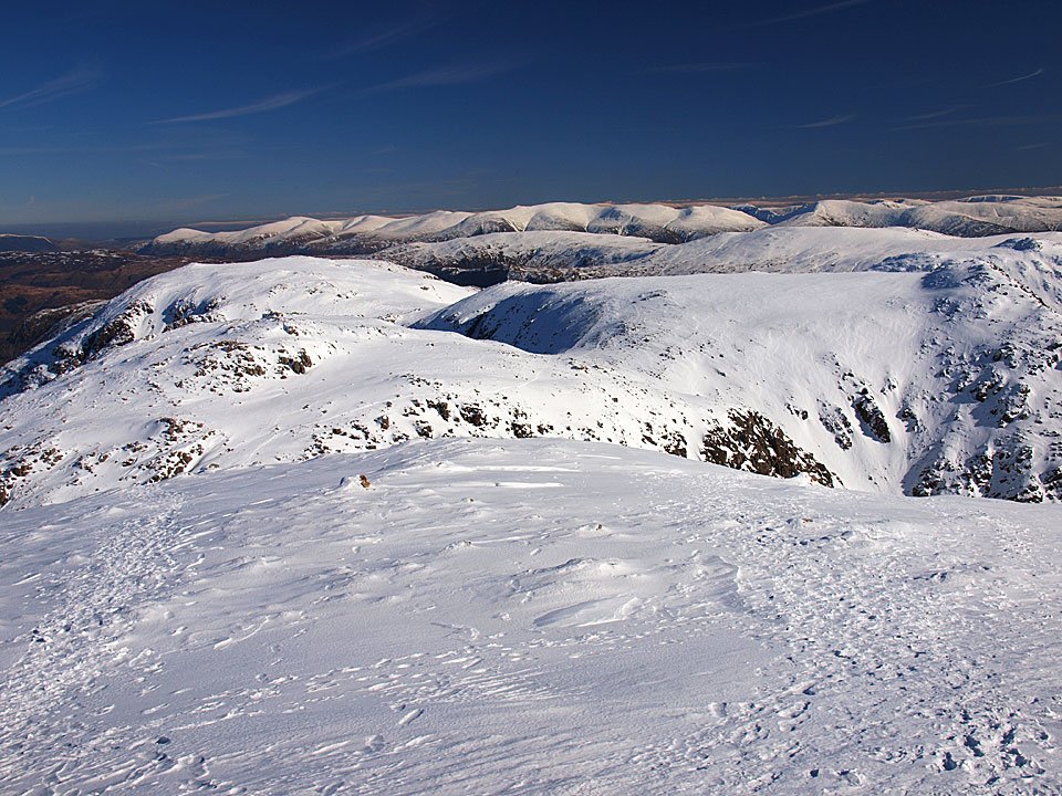
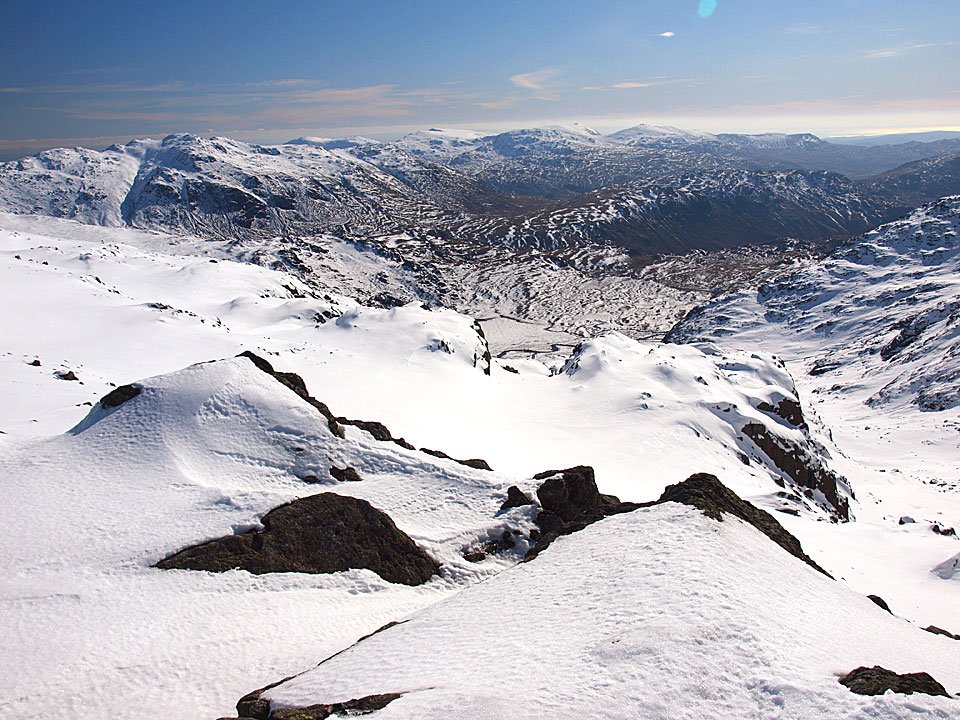
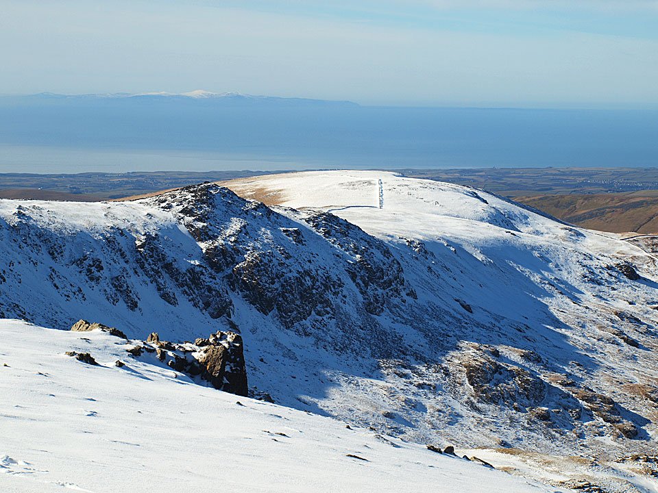
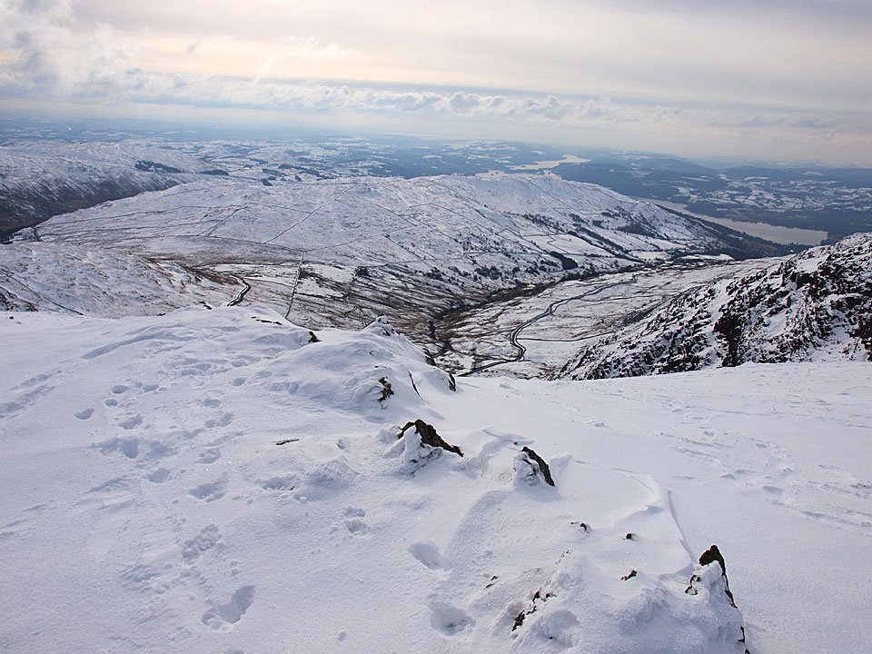
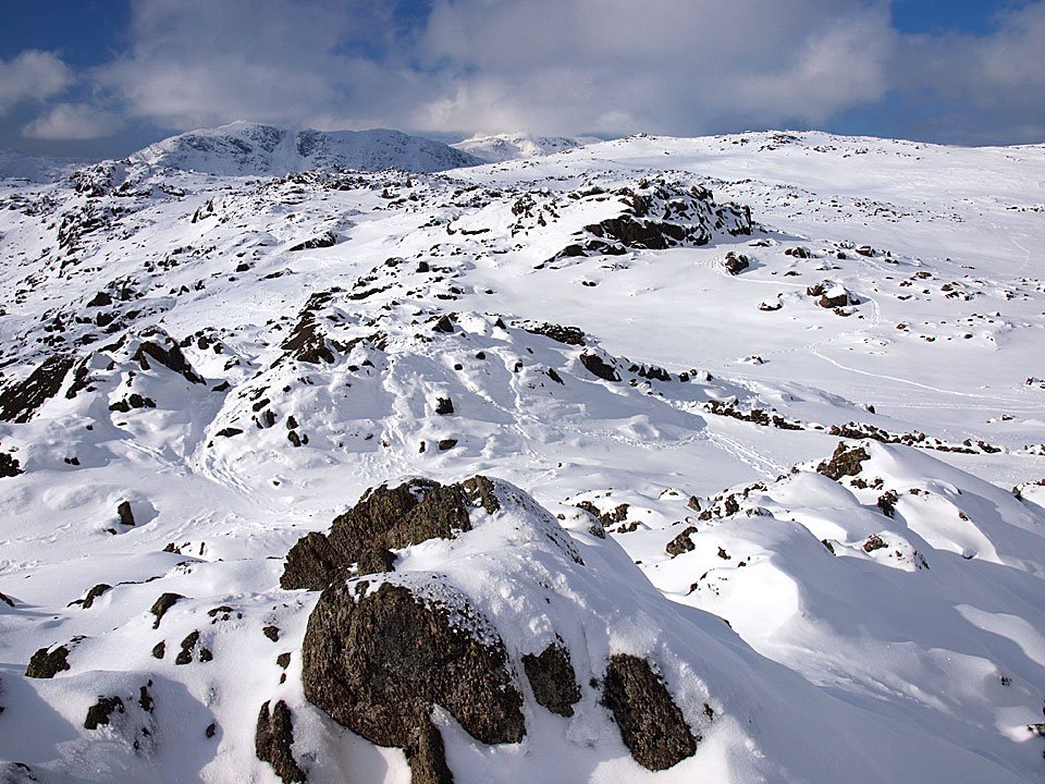
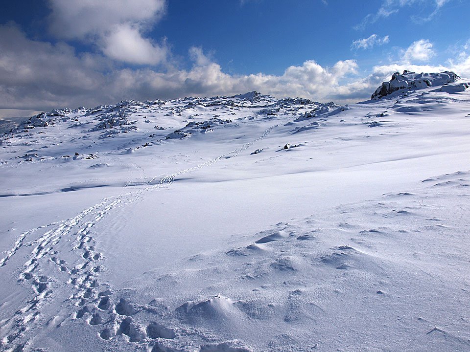
The view to the east from the summit of Rossett Pike.

11.02.10-060

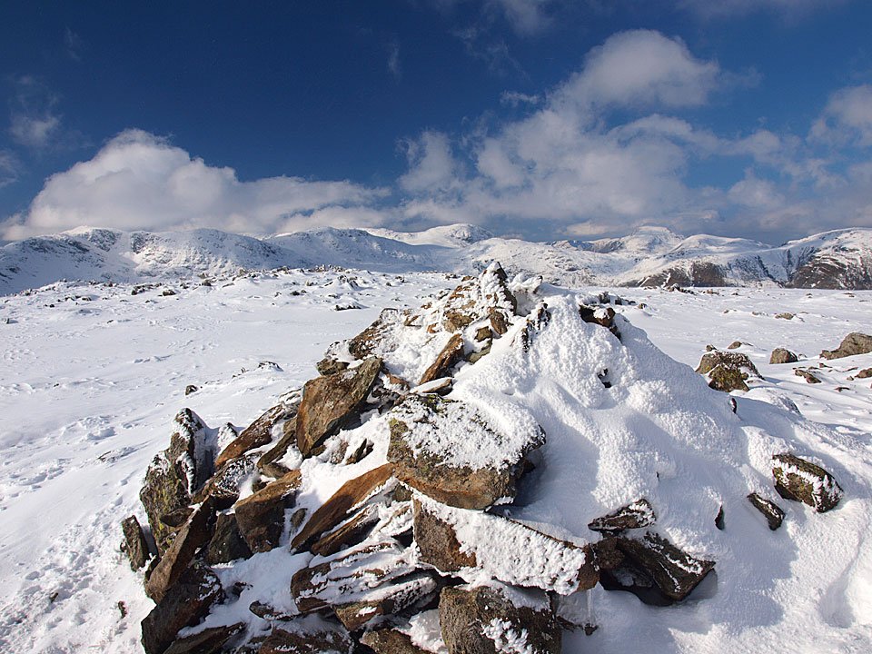
Mickleden from the Mickleden Cairn.

11.02.10-070

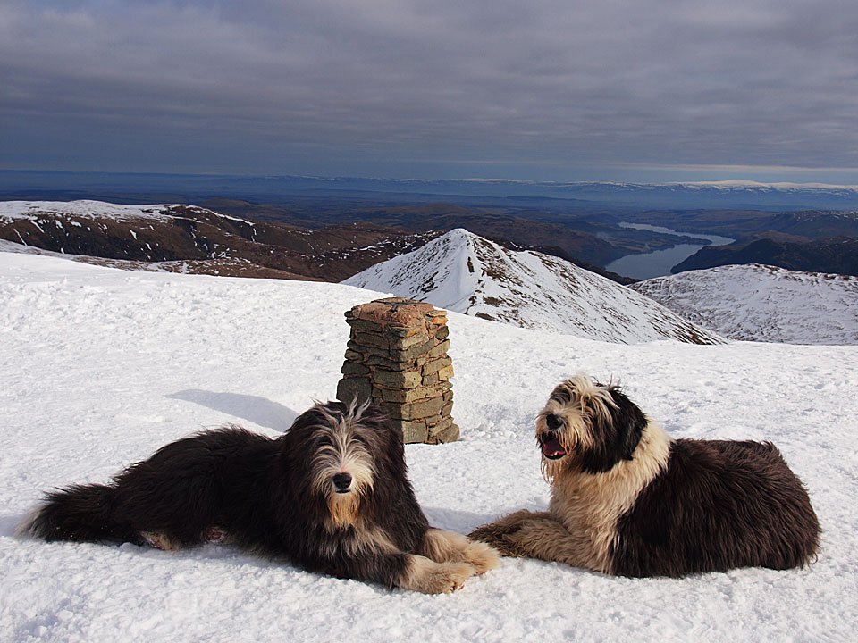
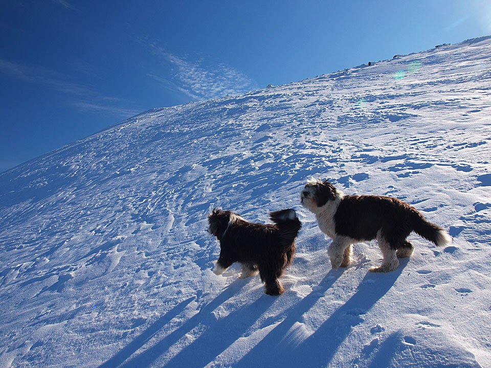
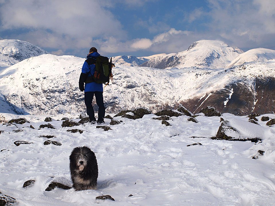
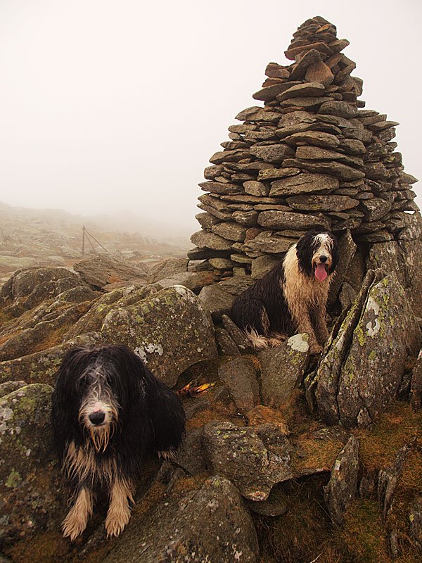
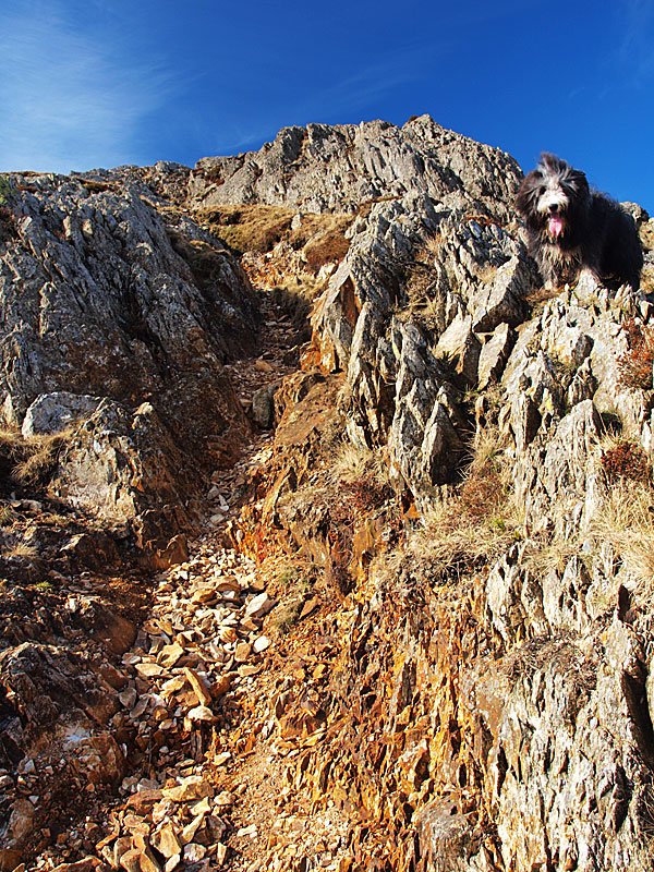
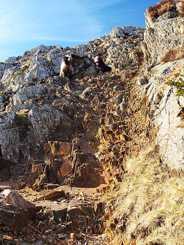
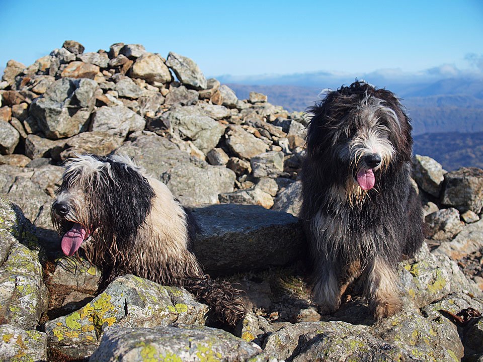
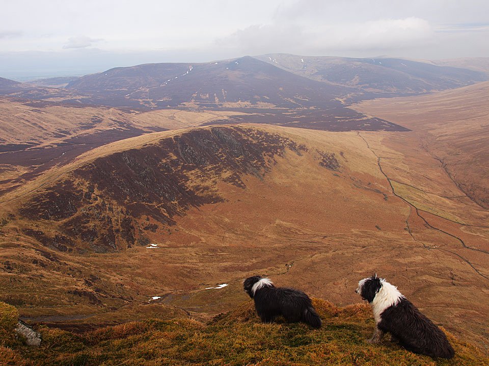
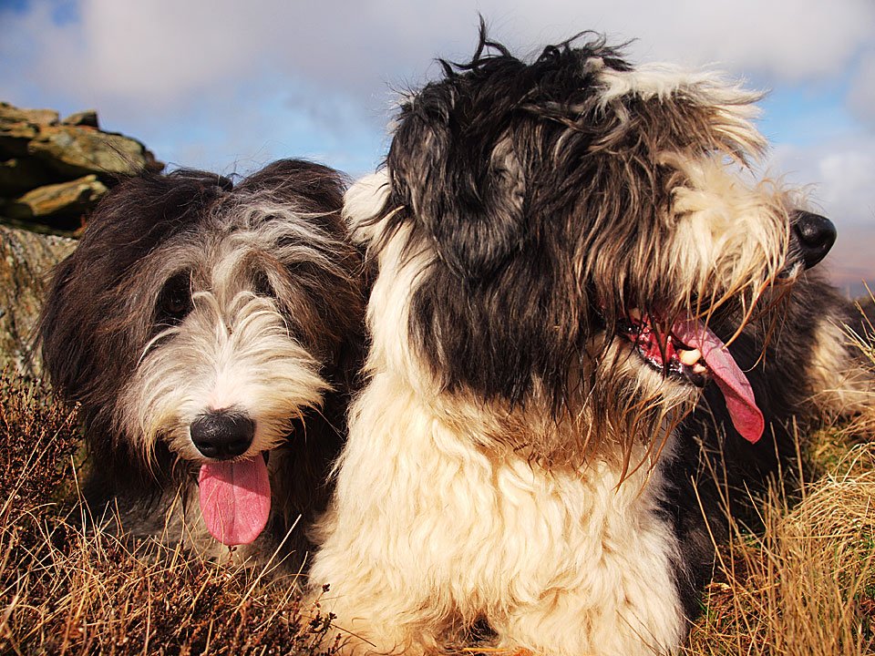
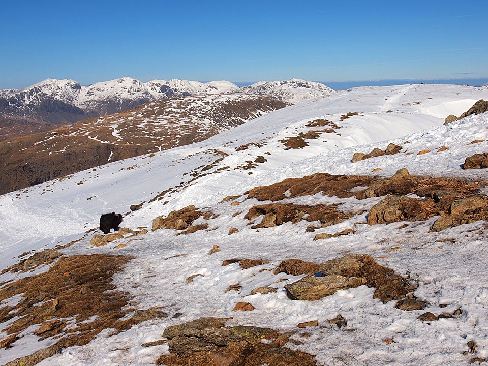
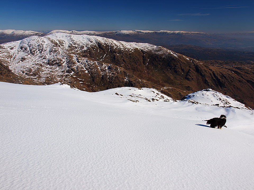
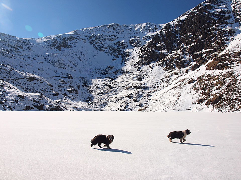
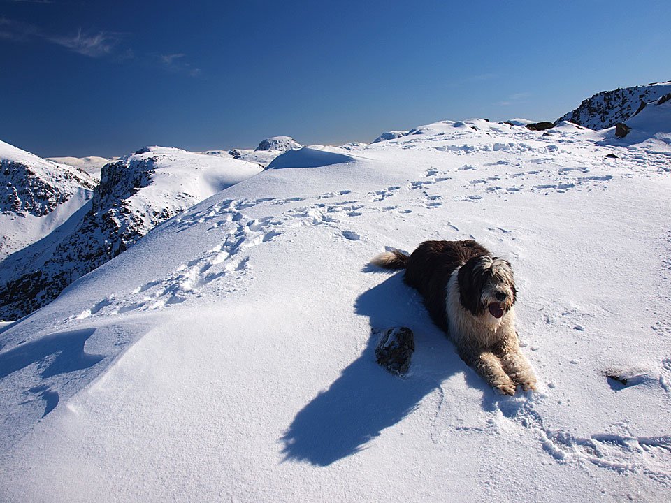
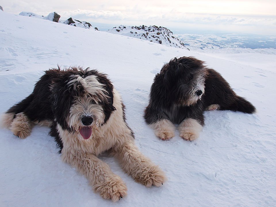
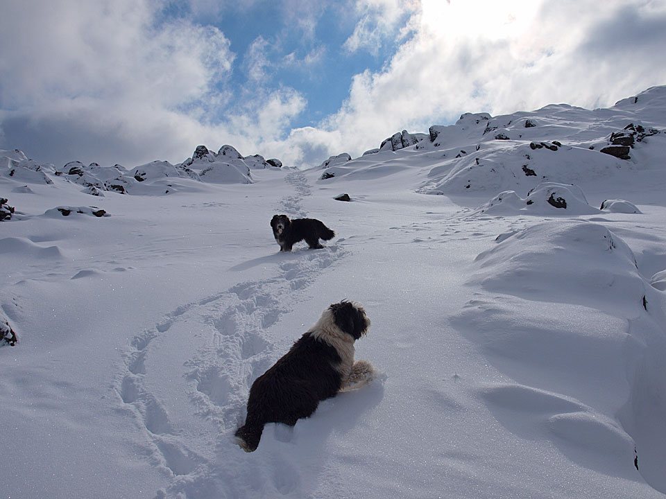
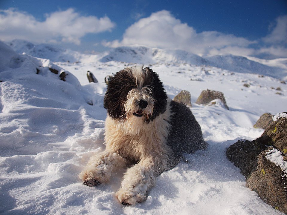
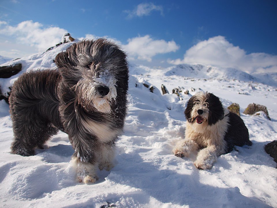
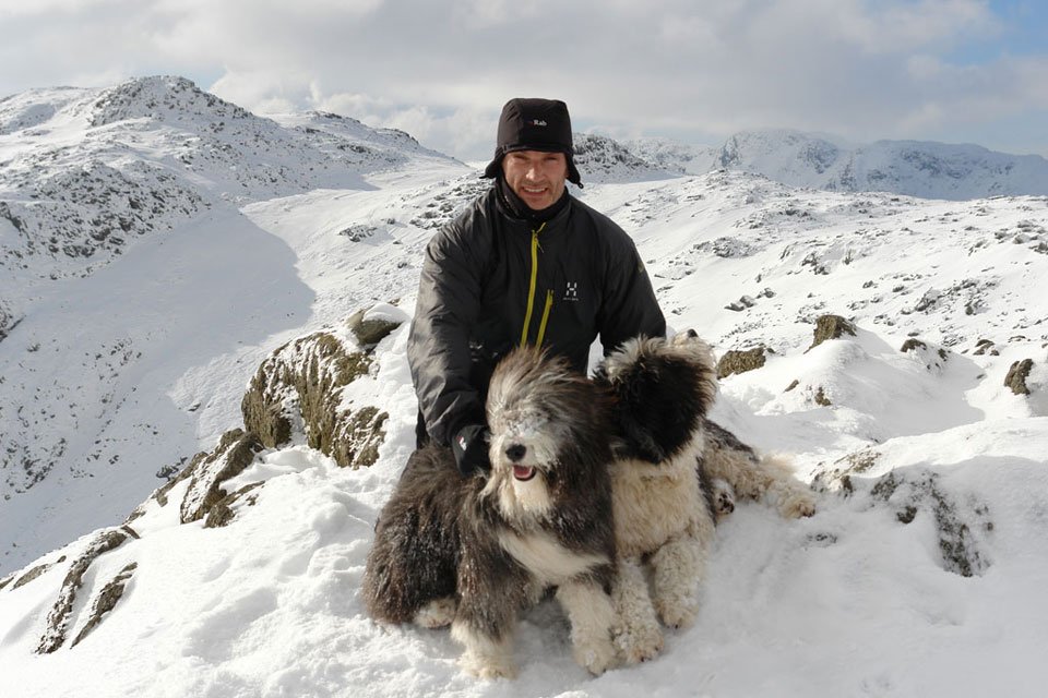
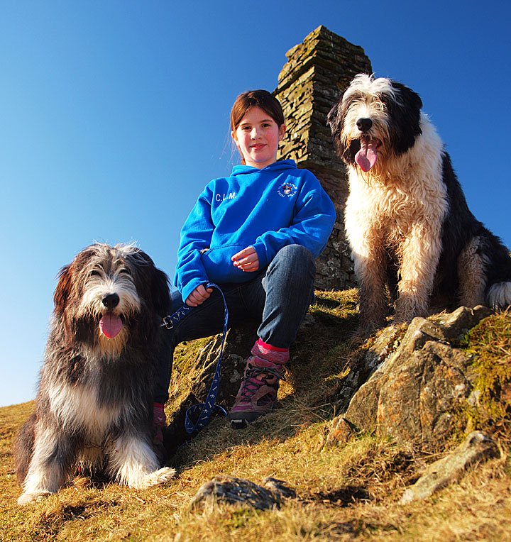
Casper and Dougal are enjoying their walk in the sunshine today.

11.02.10-075

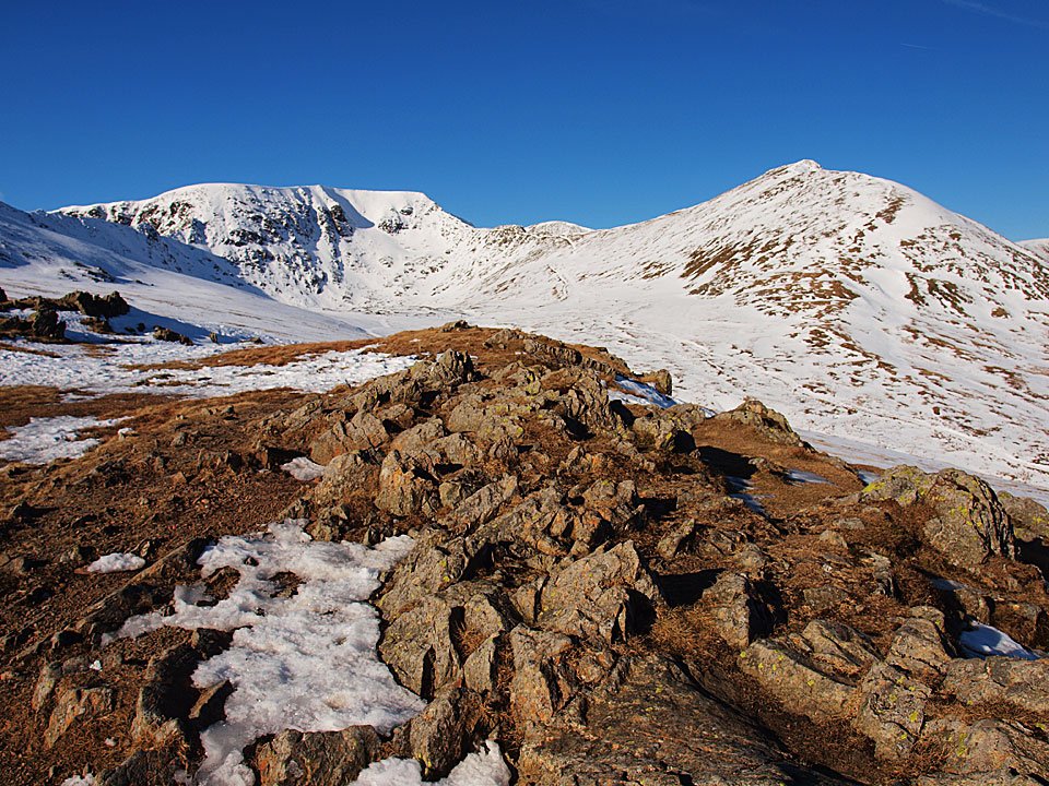
Esk Pike and Great End from Rossett Pike.

11.02.10-080

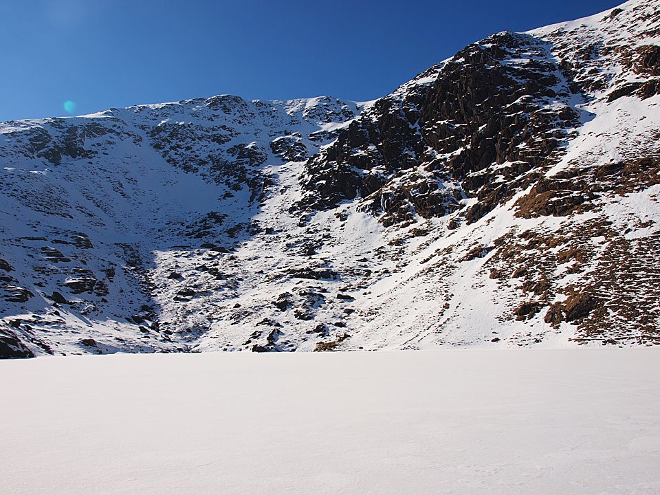
The same view over frozen Angle Tarn.

11.02.10-084

Looking back over Angle Tarn to Hanging Knotts.

11.02.10-089

Little Dougal Doo blazing a trail for Esk Hause - he's born to it, that lad.

11.02.10-097

Having a look at Great End from Esk Hause.

11.02.10-099

Esk Pike from the cross shelter.

11.02.10-108

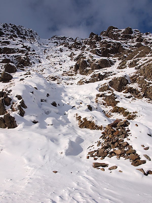
The climb to Esk Pike from Esk Hause.

11.02.10-112

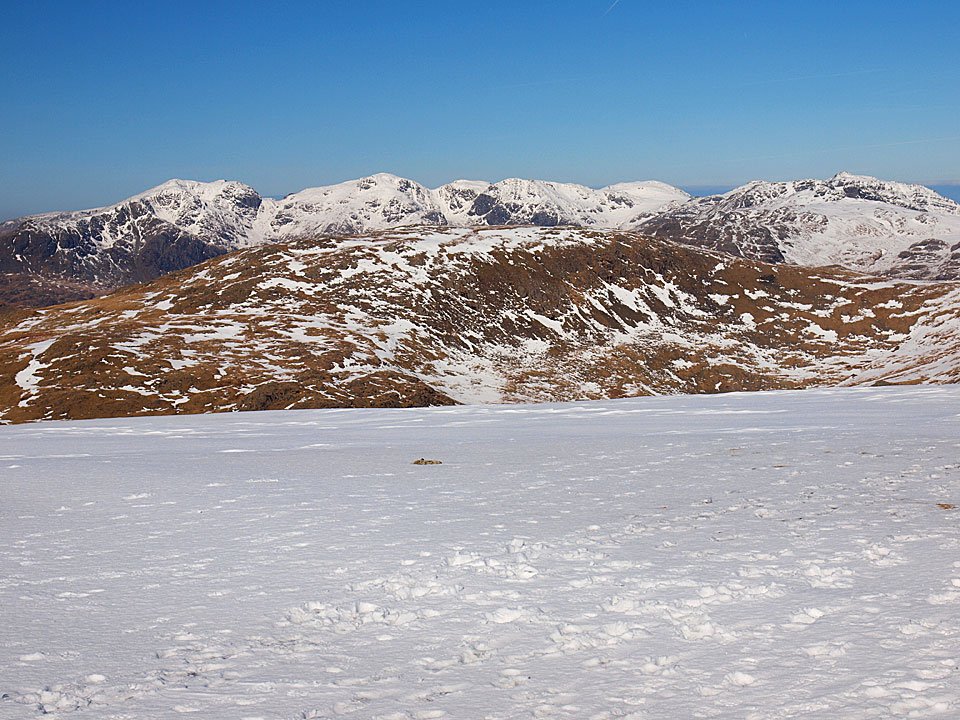
The Scafell Pikes from the climb.

Esk Pike

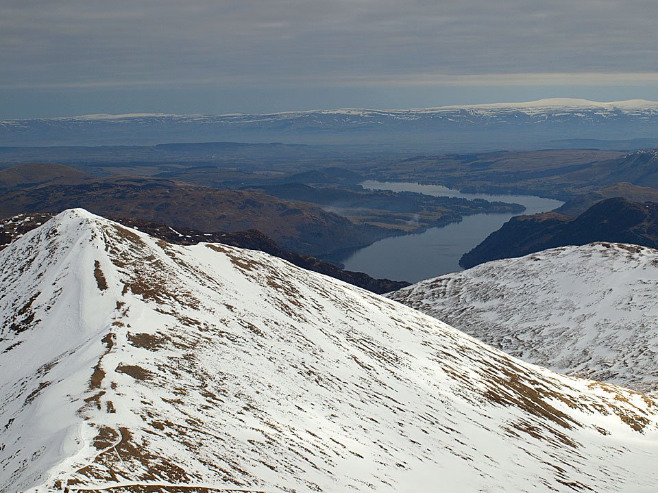
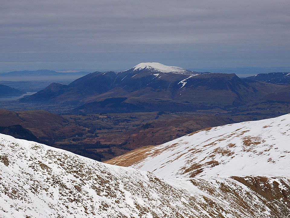
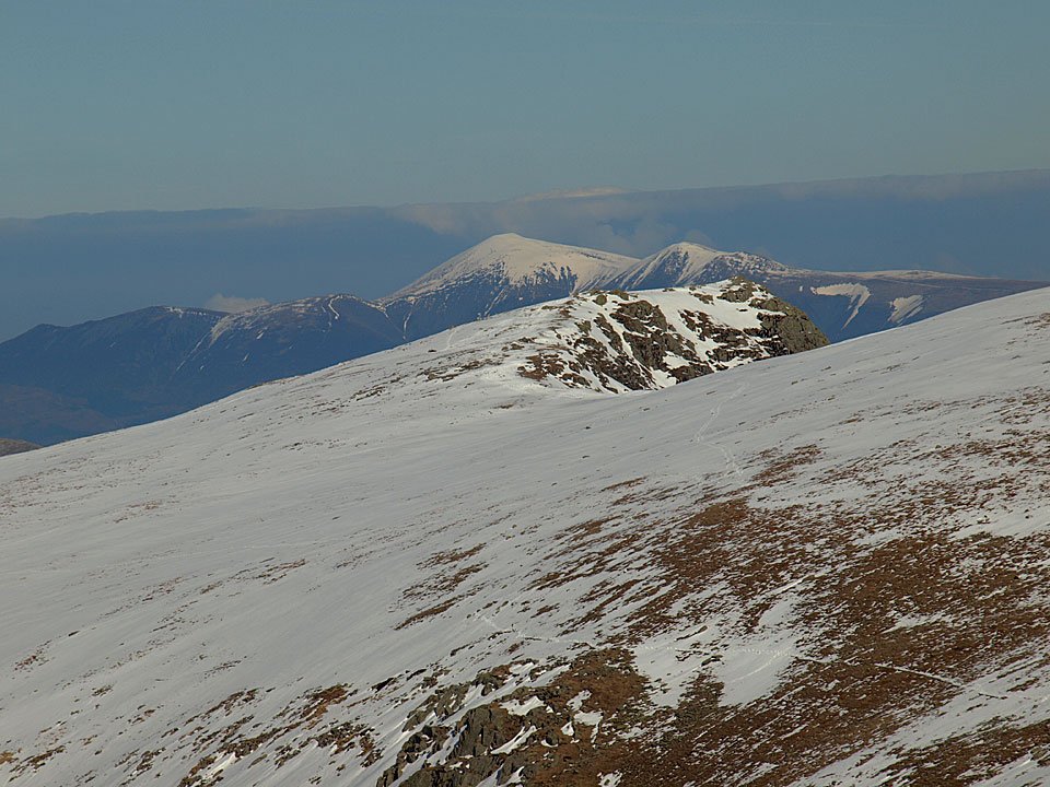
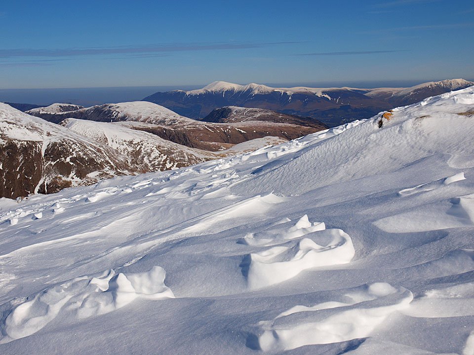
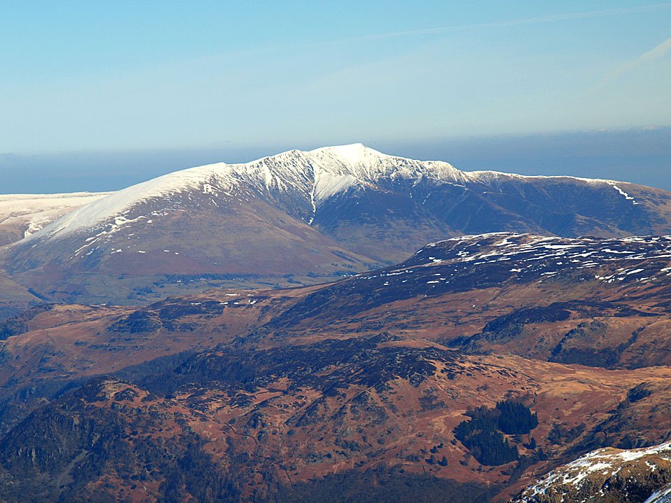
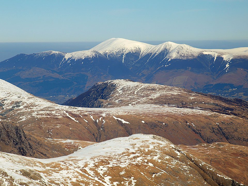
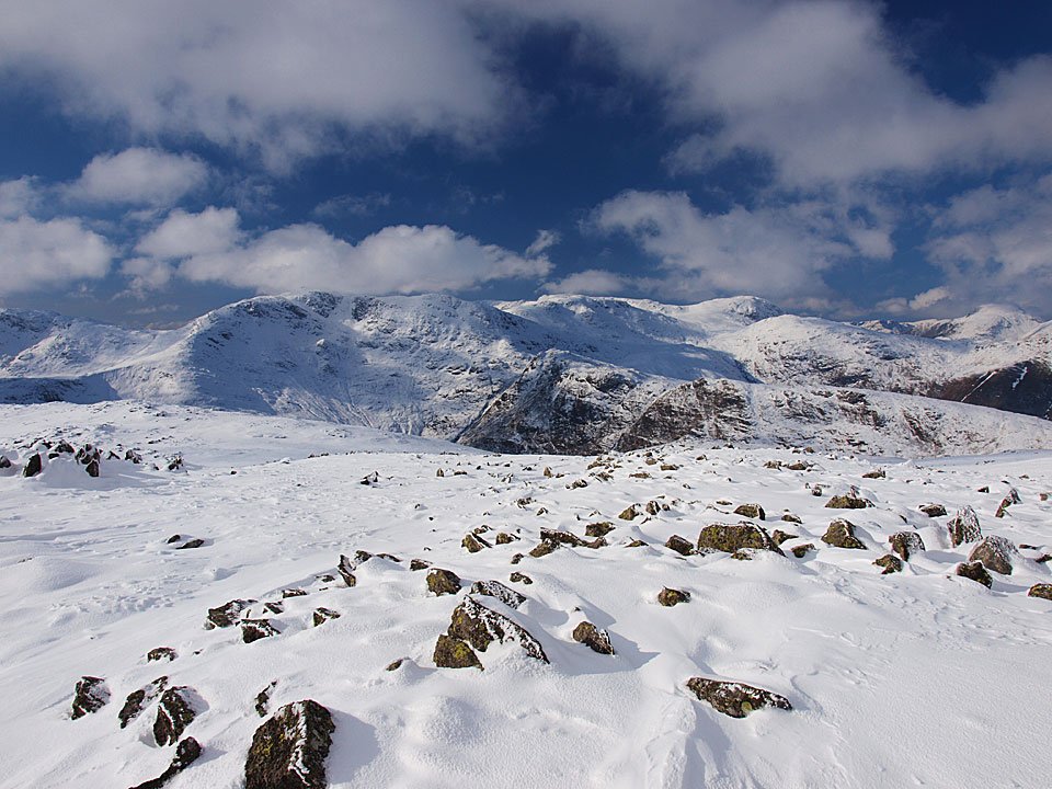
Derwent Water and Skiddaw from the summit of Esk Pike.

11.02.10-123

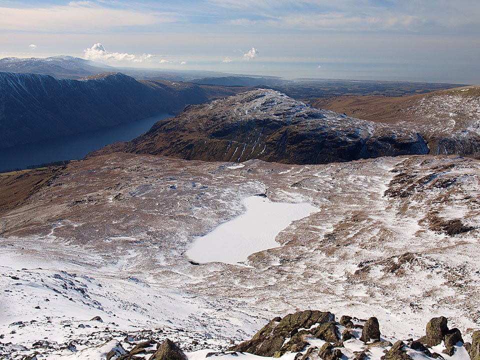
Hard Knott and the Duddon Estuary.

11.02.10-126

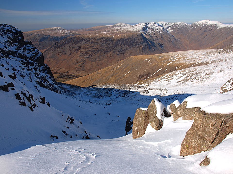
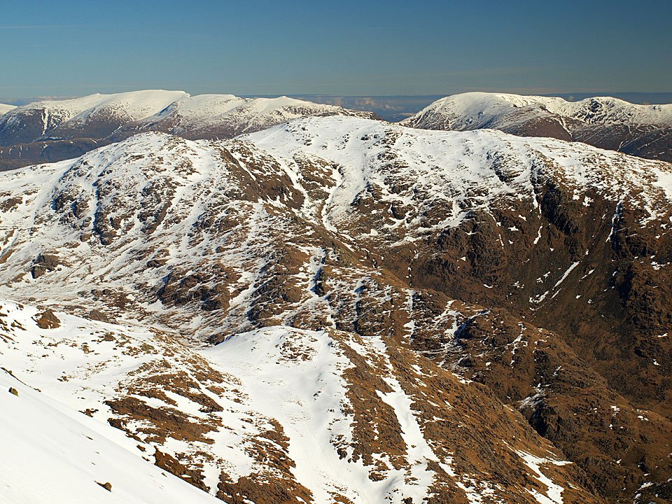
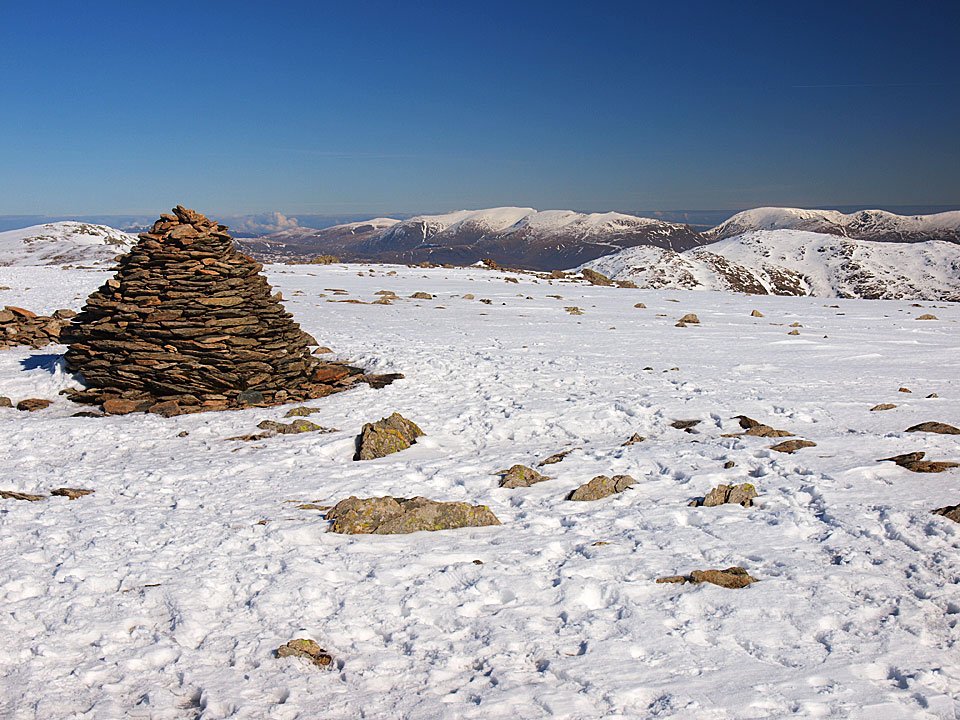
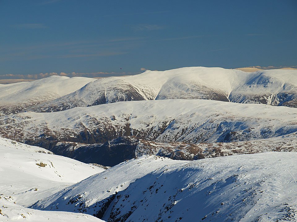
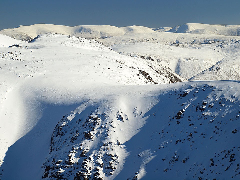
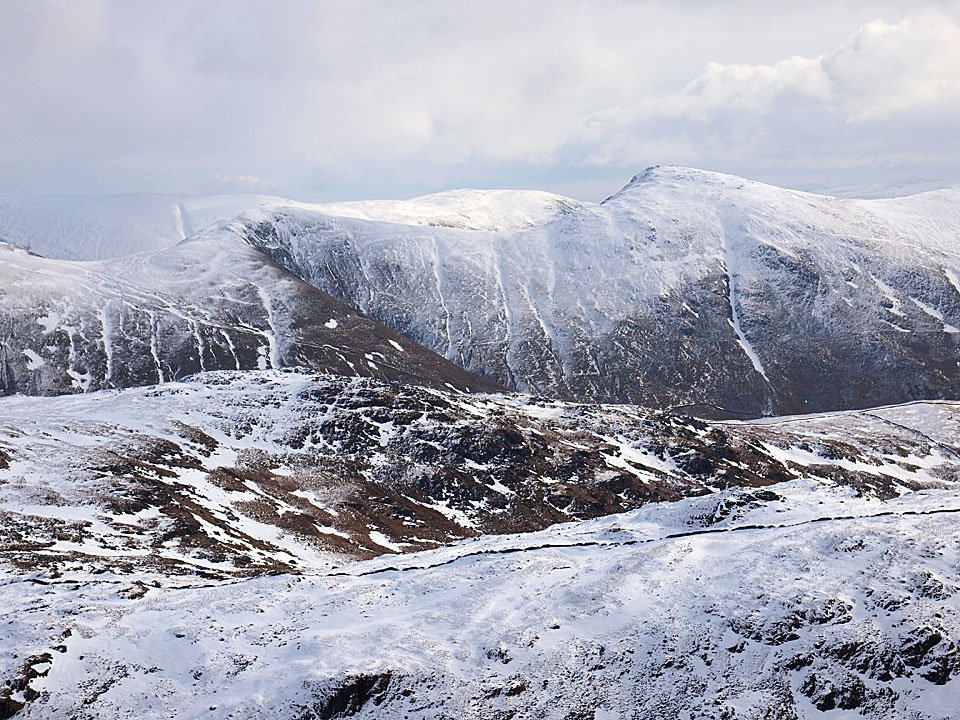
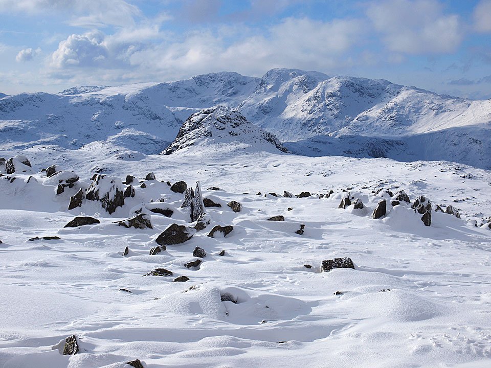
The Helvellyn ridge and Langstrath.

11.02.10-133

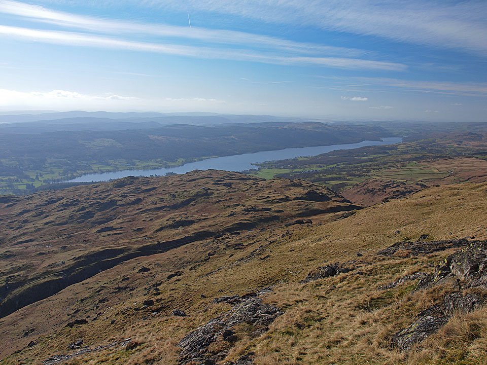
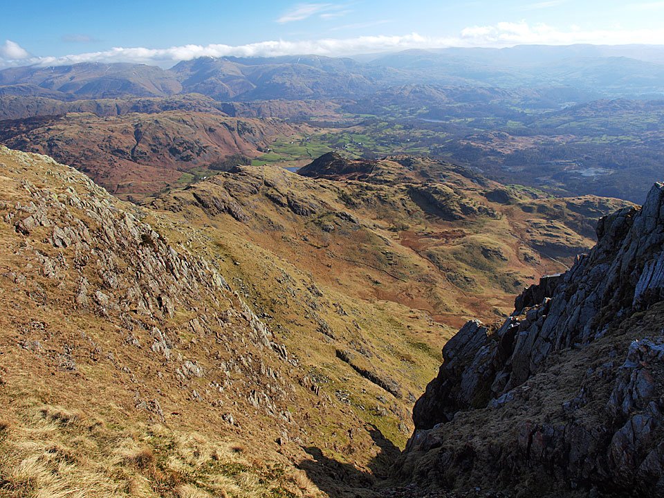
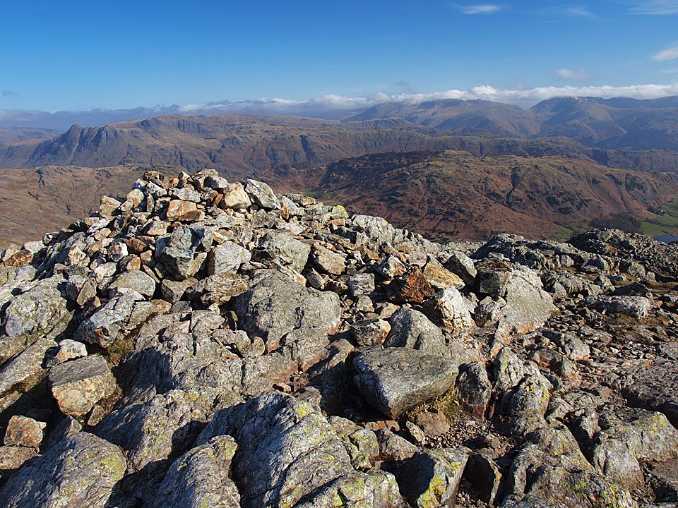
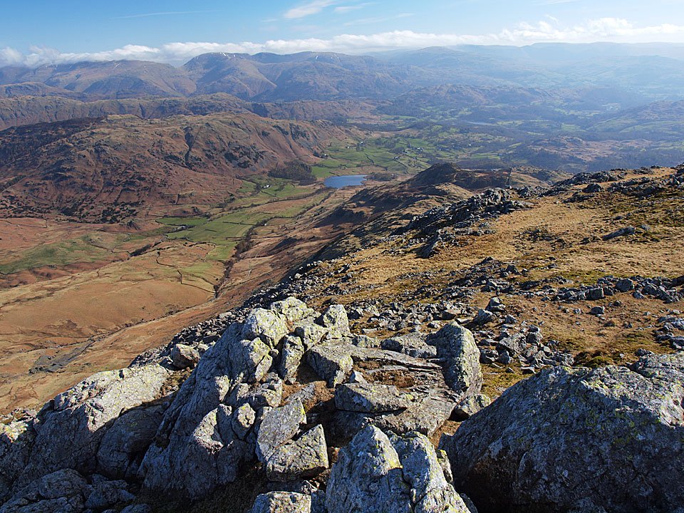
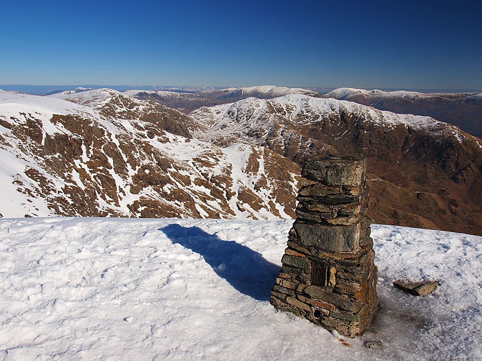
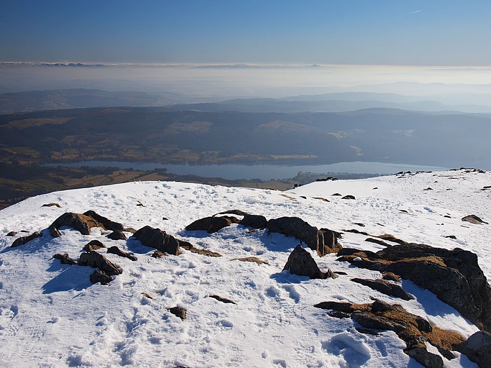
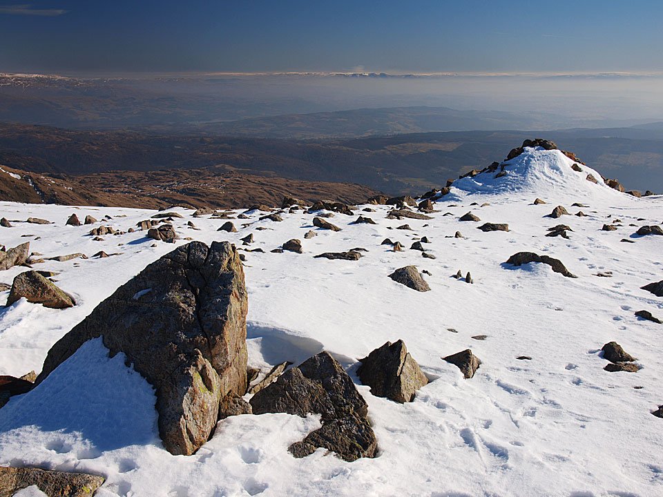
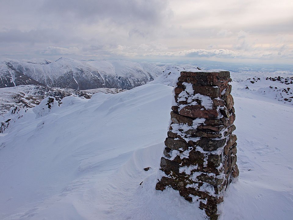
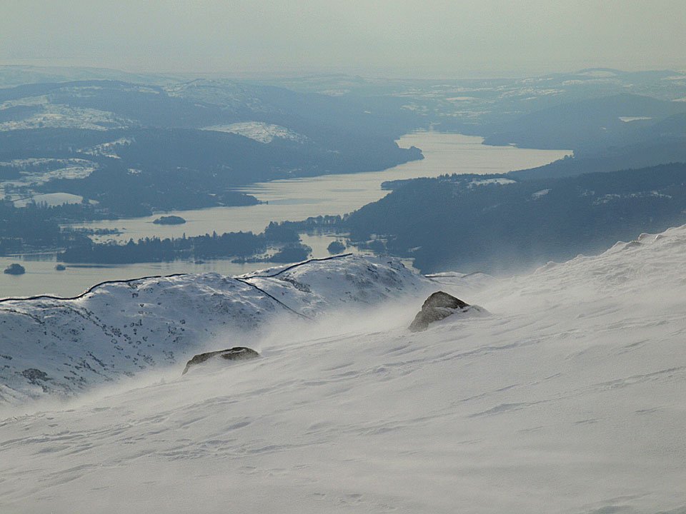
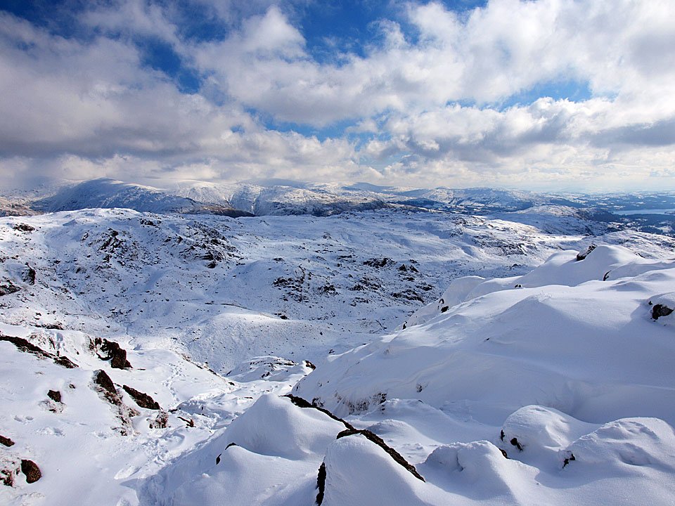
The view across to Windermere from the top of Bowfell.

11.02.10-136

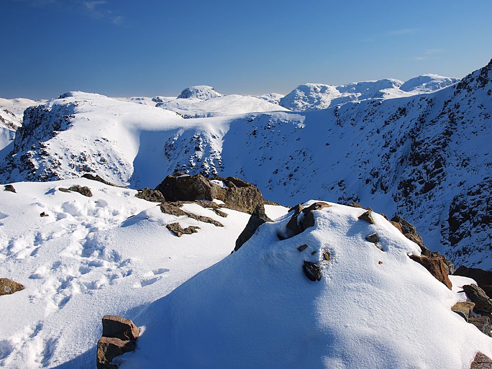
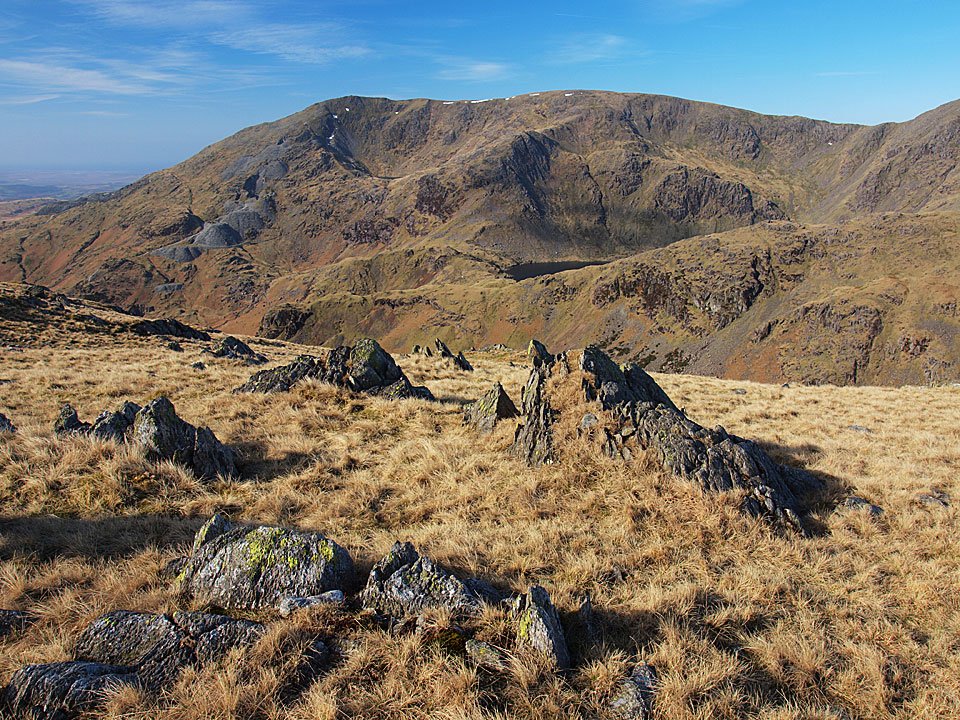
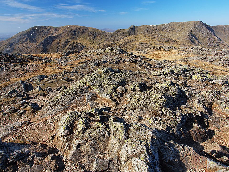
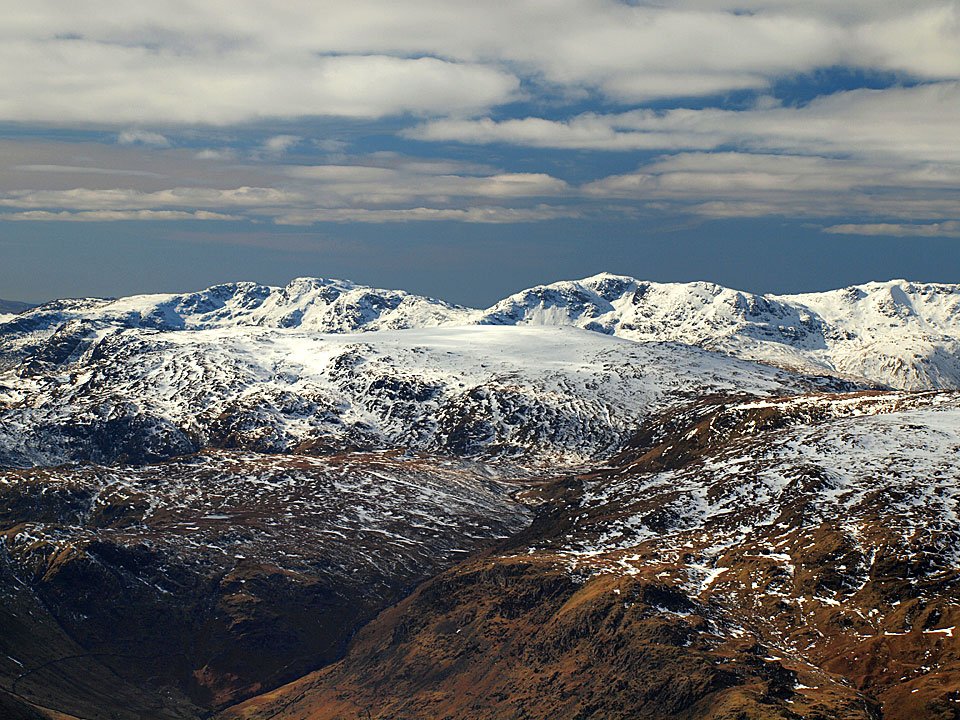
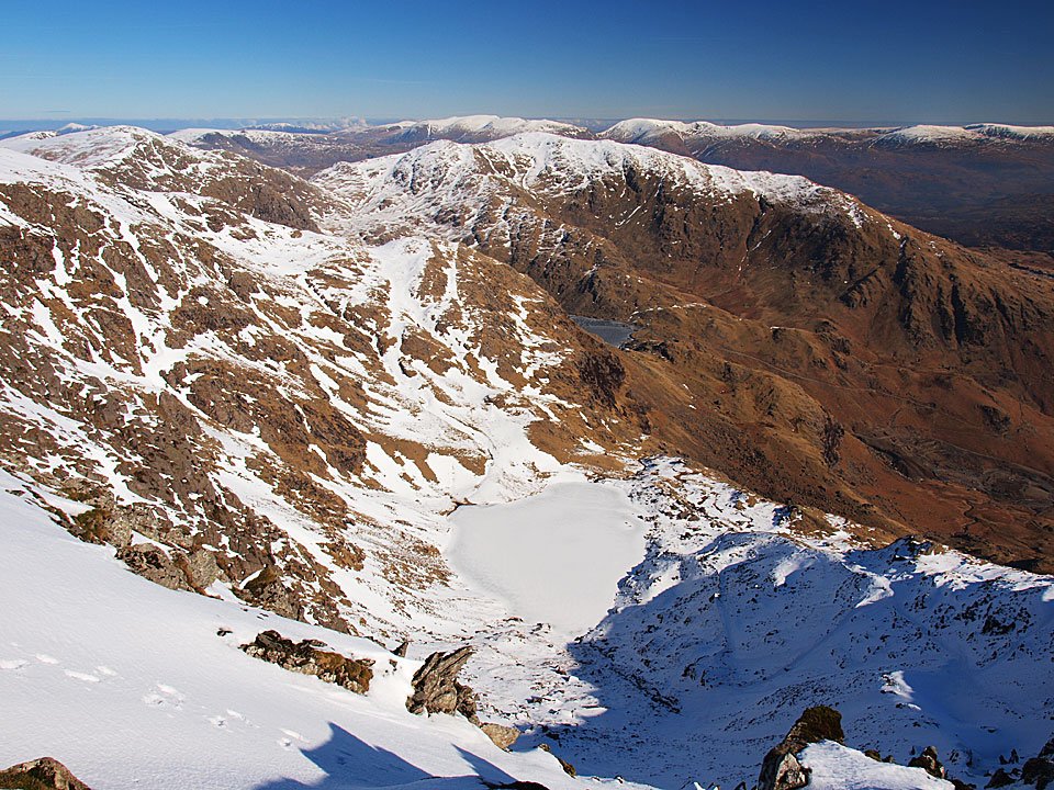
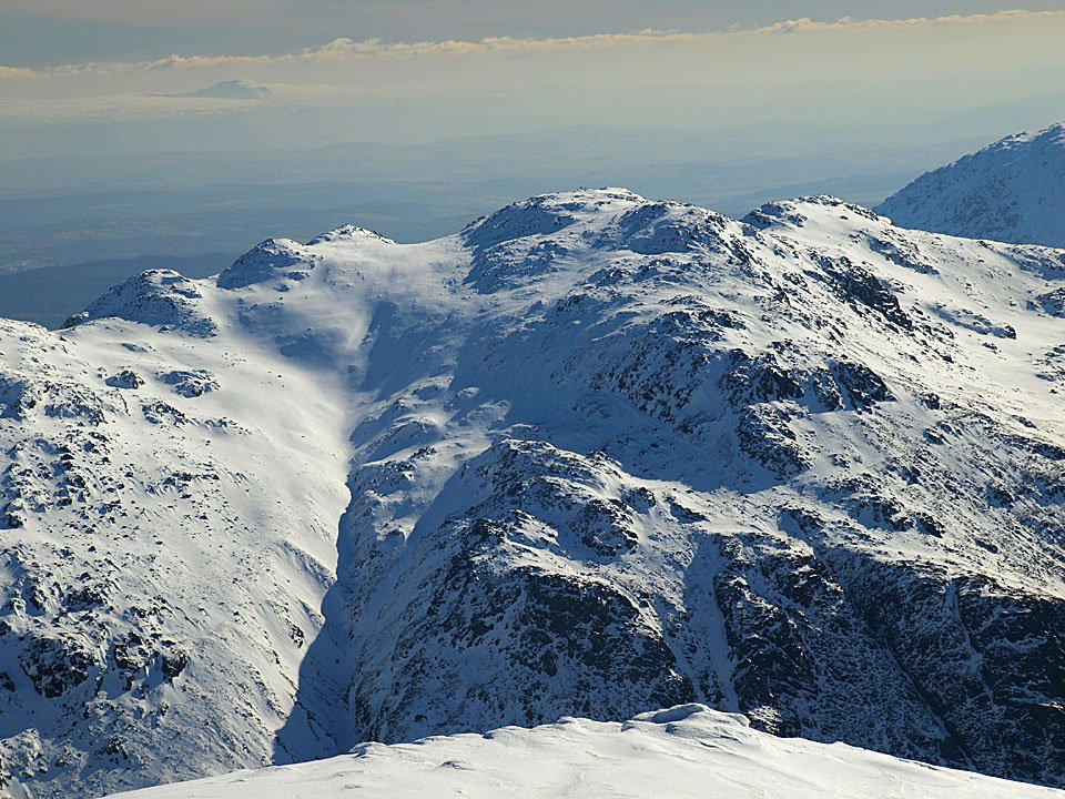
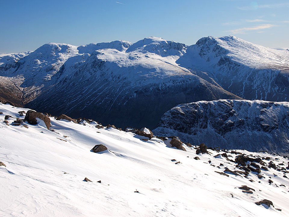
The Scafells.

11.02.10-147

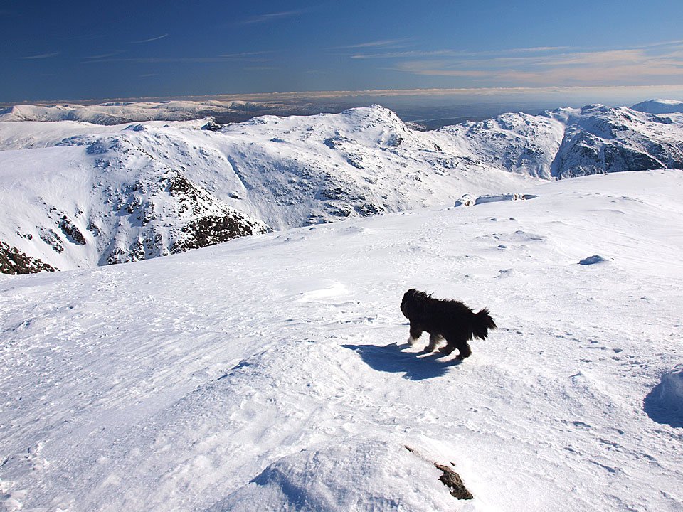
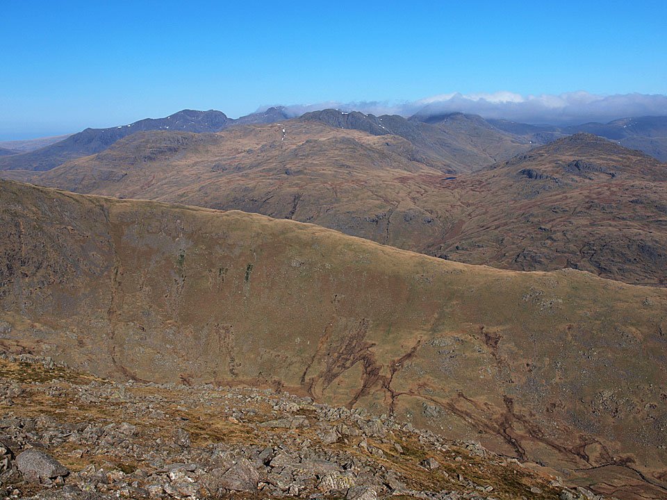
Crinkle Crags and beyond.

11.02.10-149

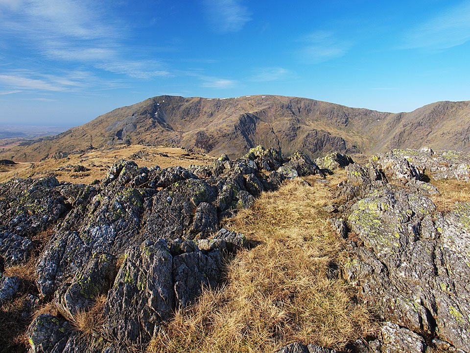
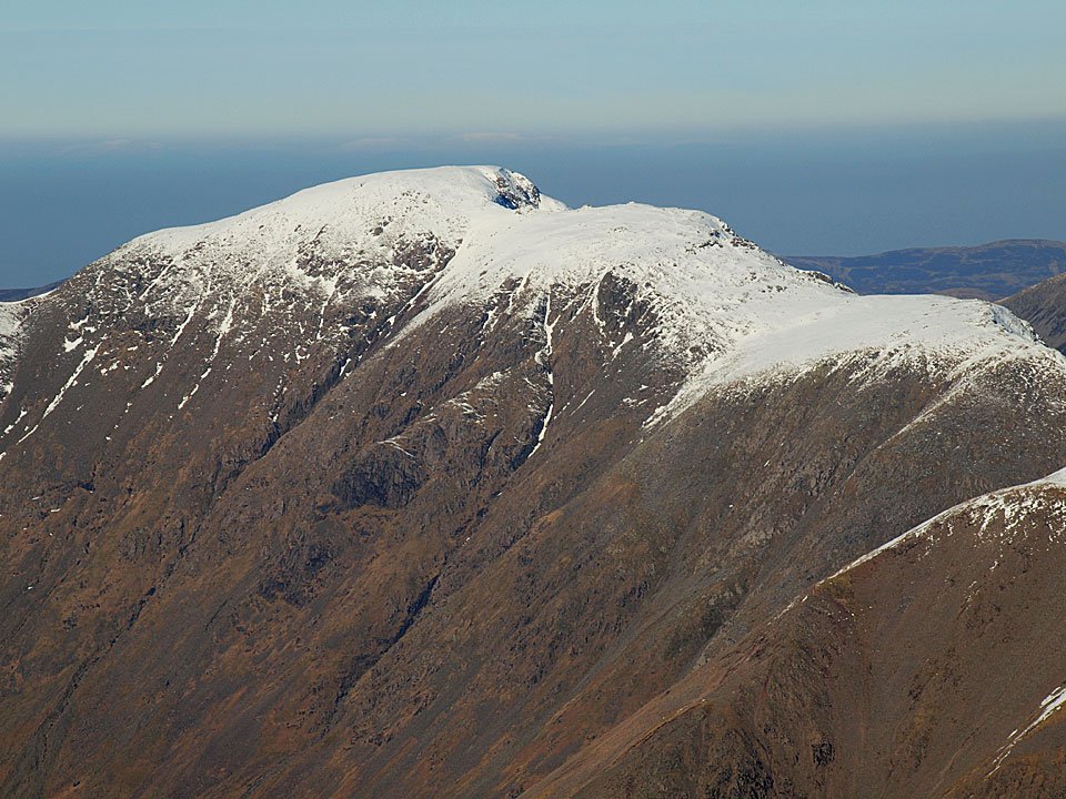
Scafell Pike from Bowfell.

11.02.10-155

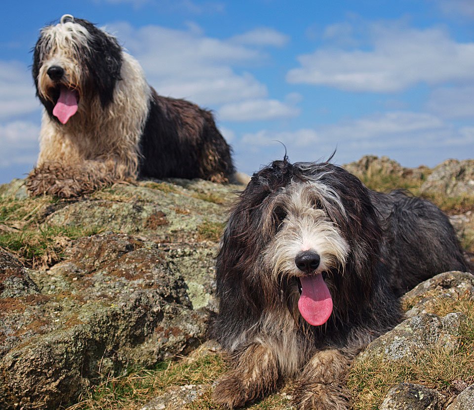
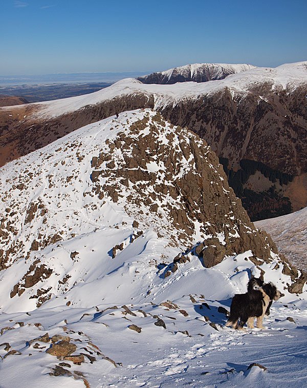
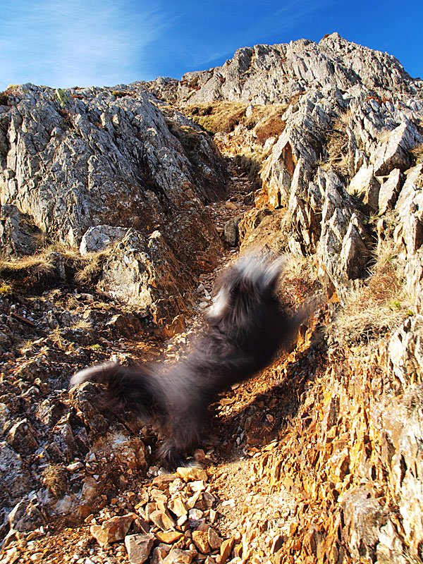
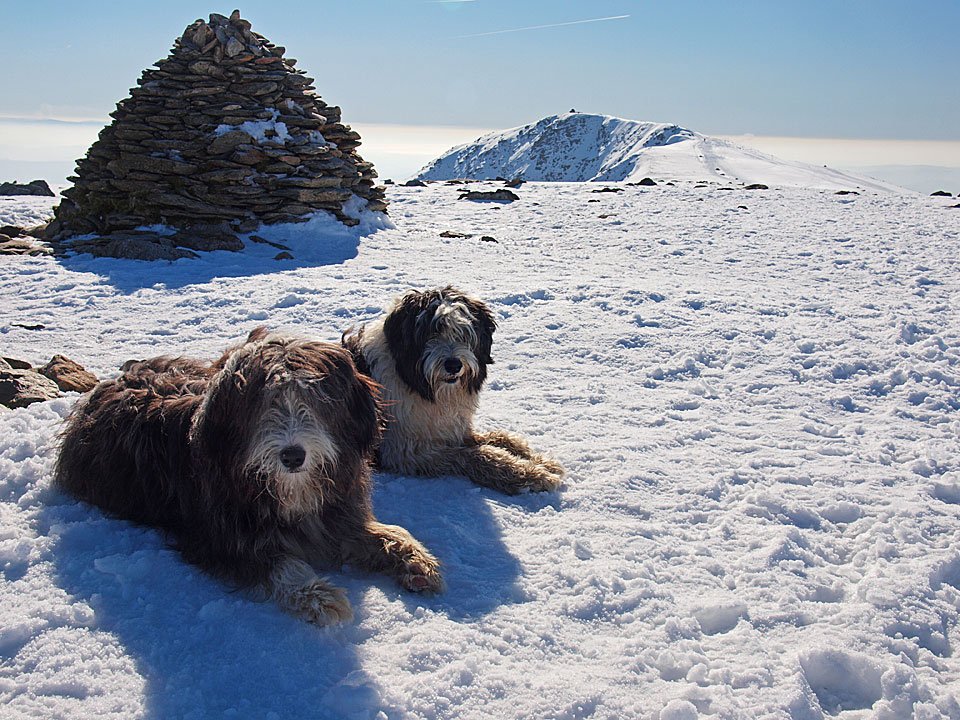
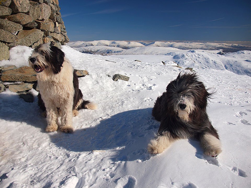
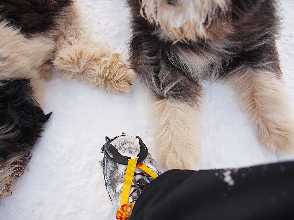
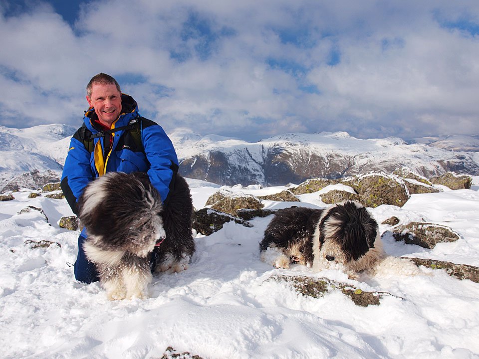
Two black shiny noses.

11.02.10-157

The Great Slab of Flat Crags.

11.02.10-162

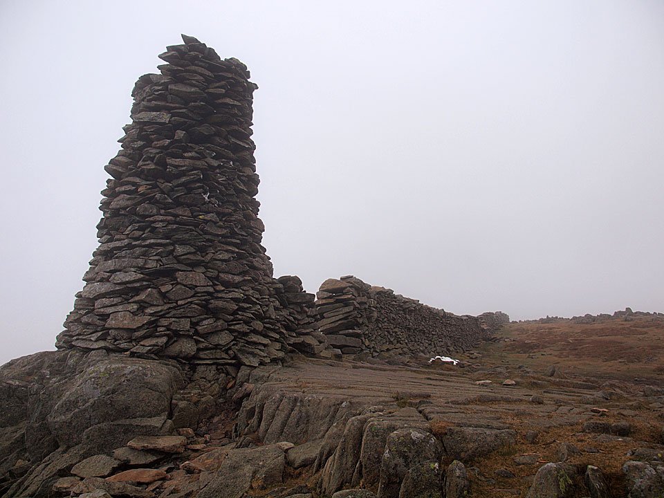
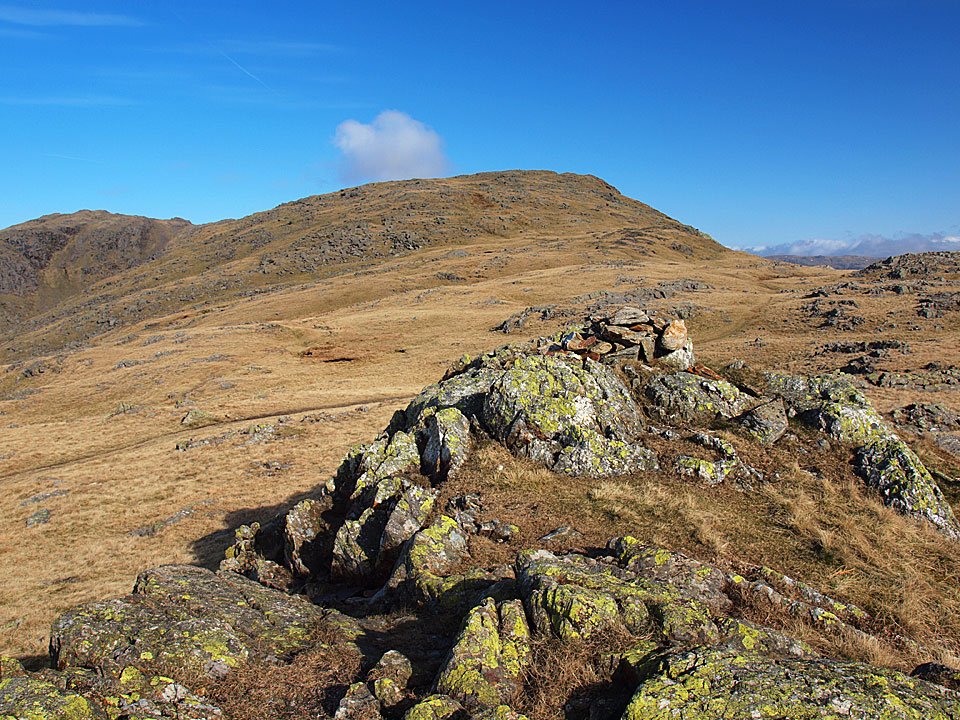
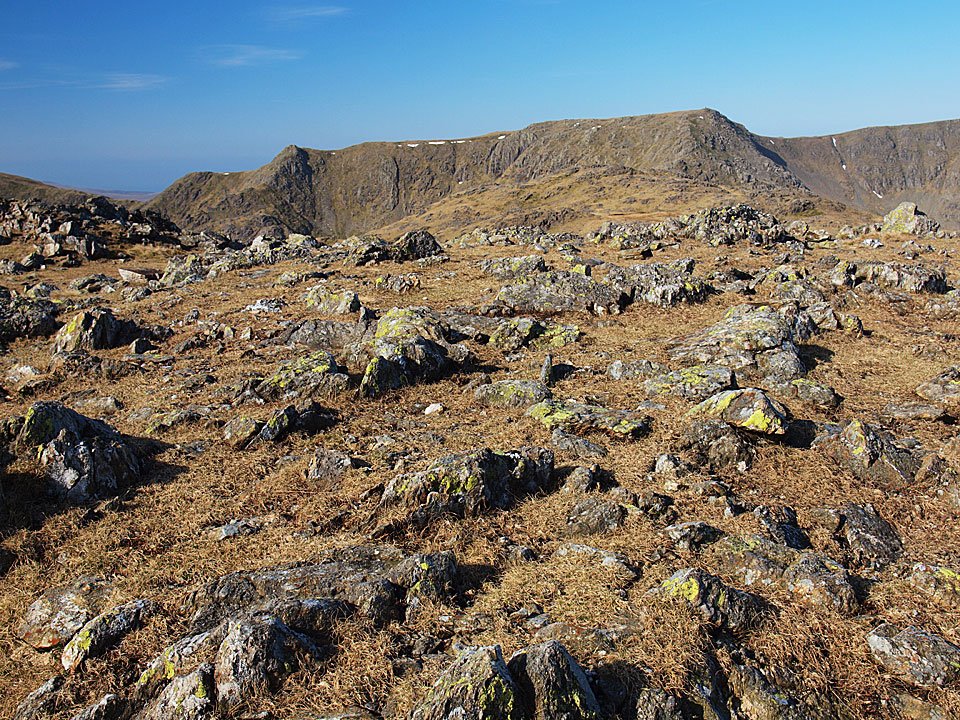
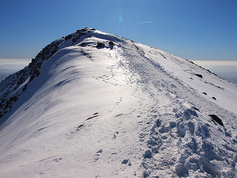
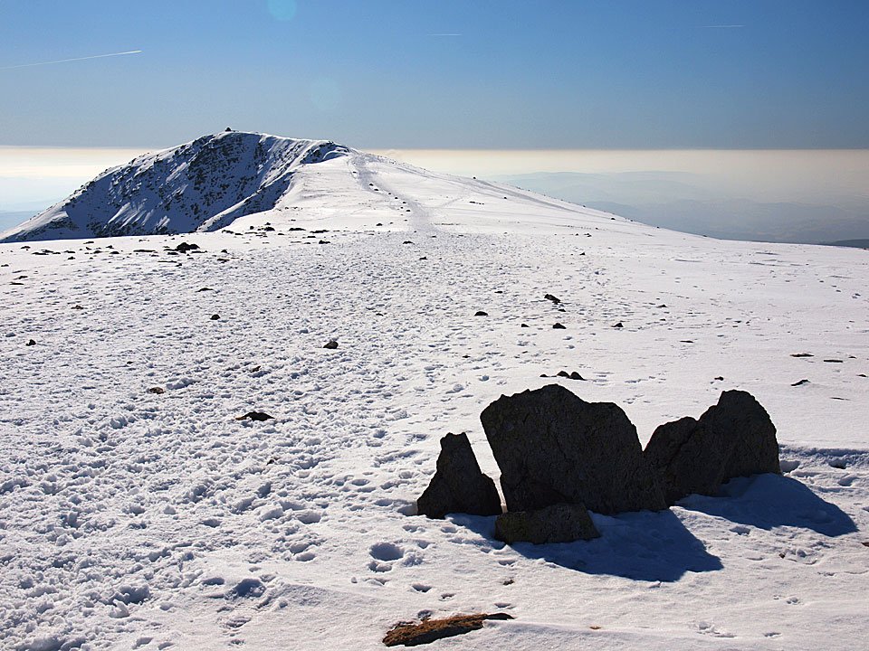
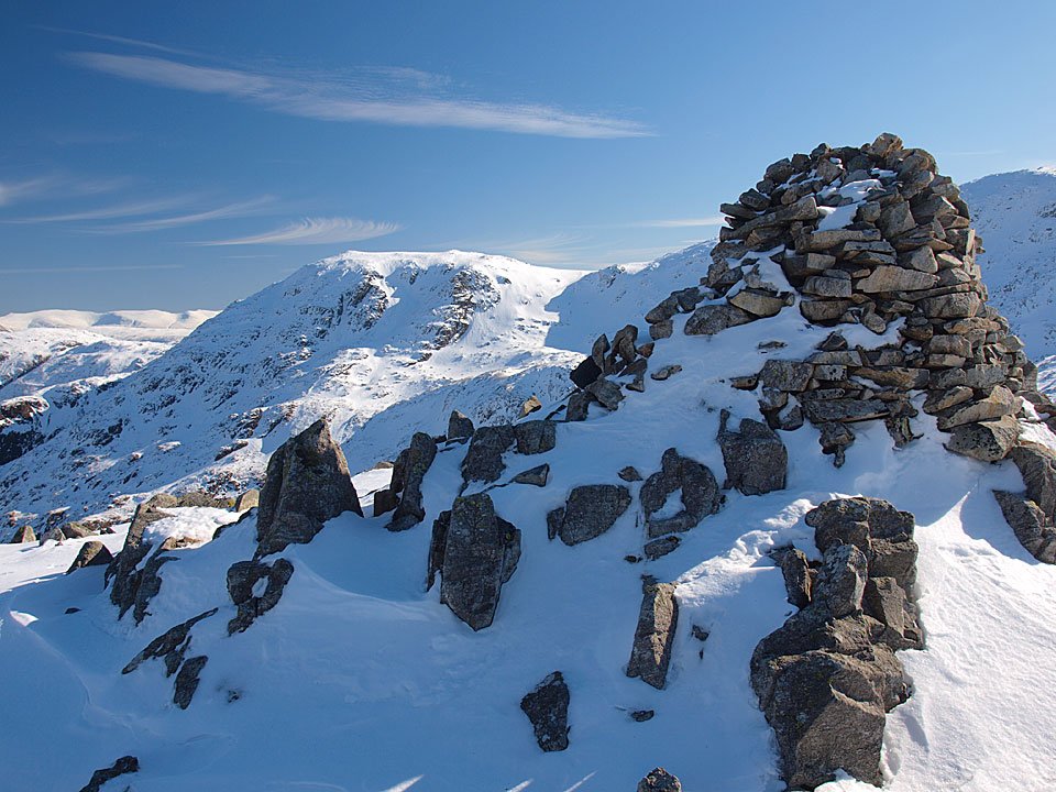
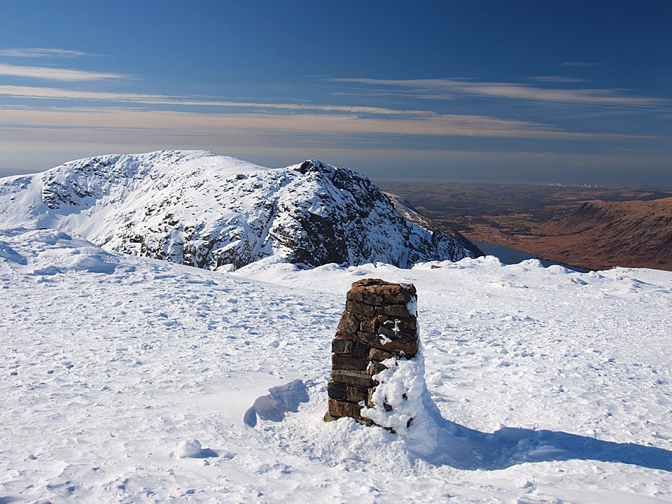
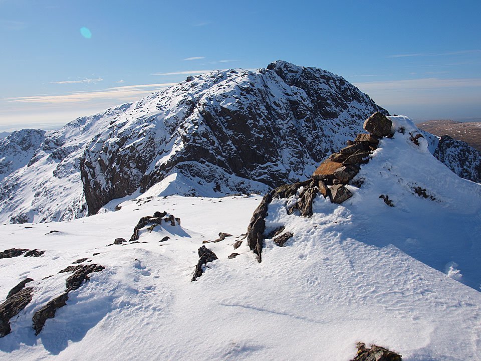
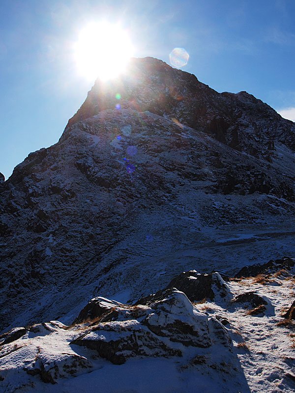
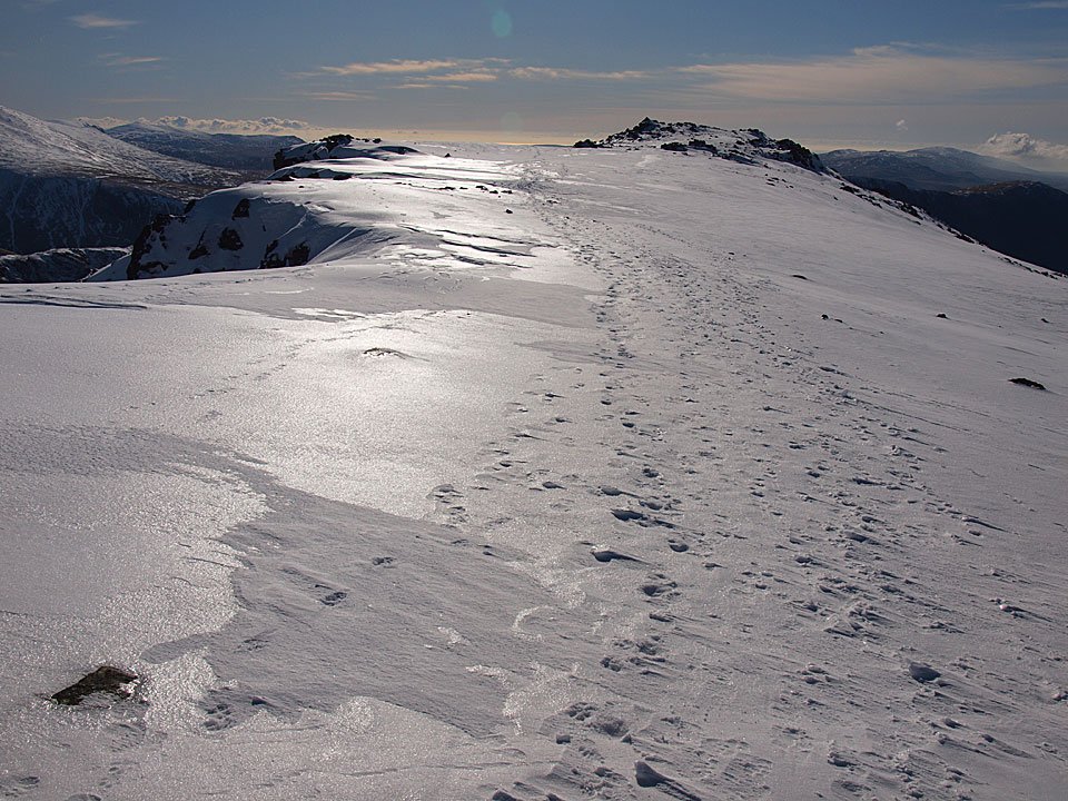
Looking back to Bowfell's summit.

11.02.10-164

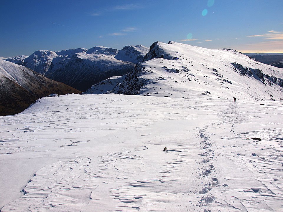
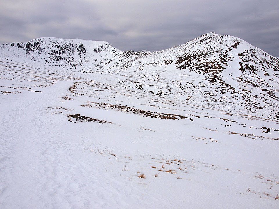
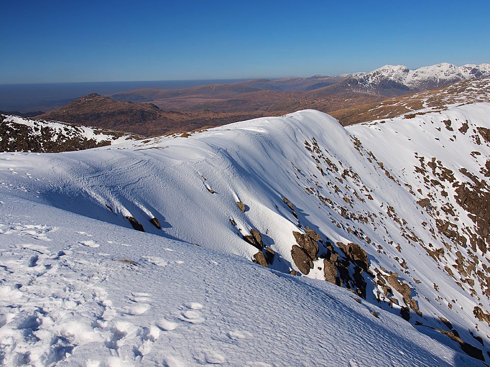
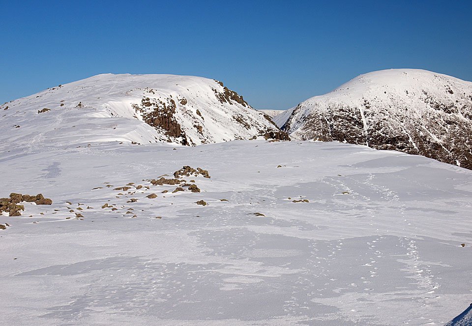
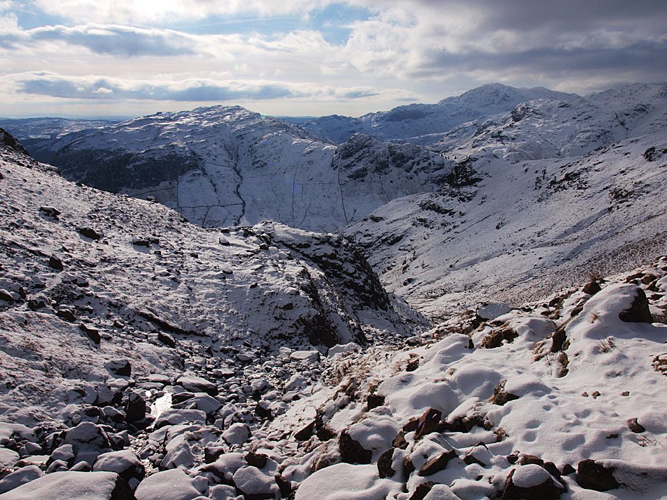
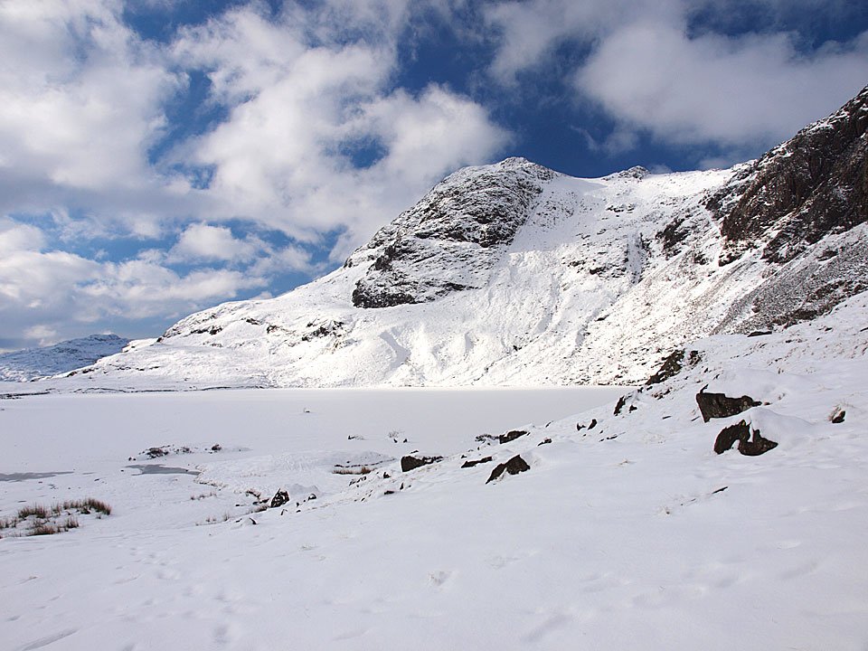
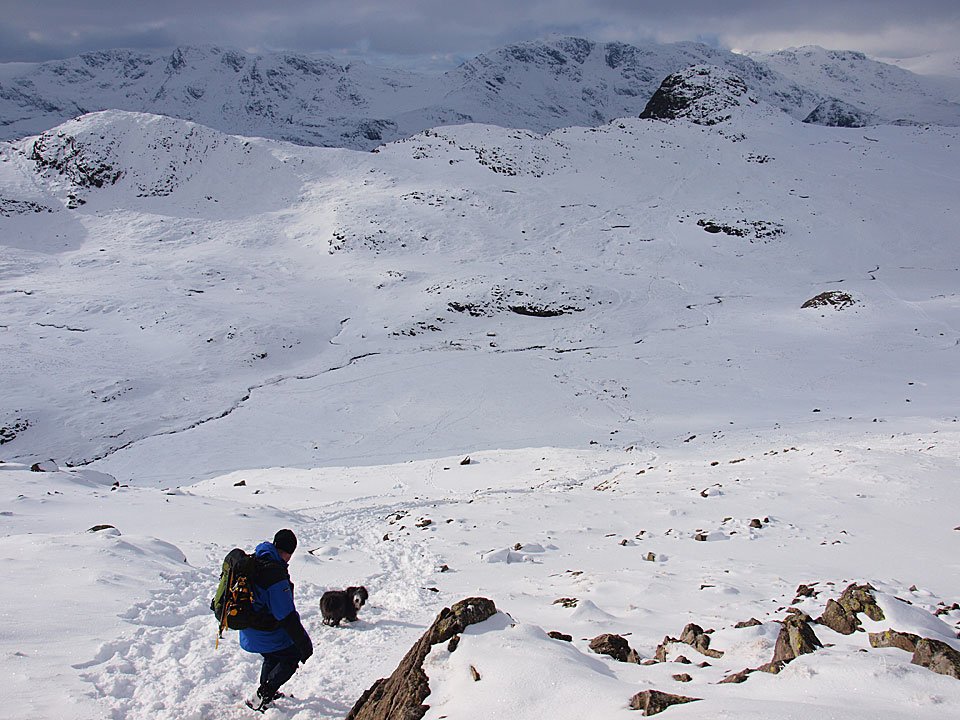
The descent to Three Tarns, Crinkle Crags ahead.

11.02.10-167

The Scafells from one of the tarns.

11.02.10-169

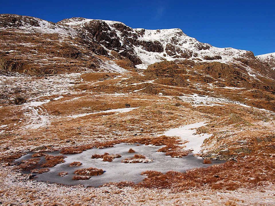
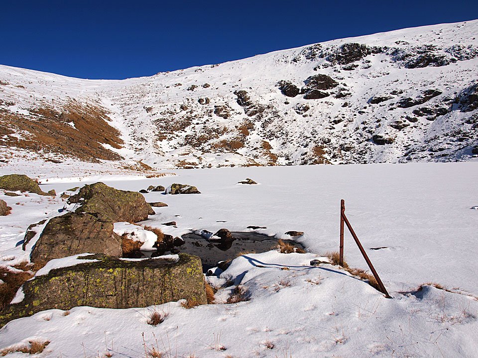
Bowfell Links from on one of the tarns!

11.02.10-175

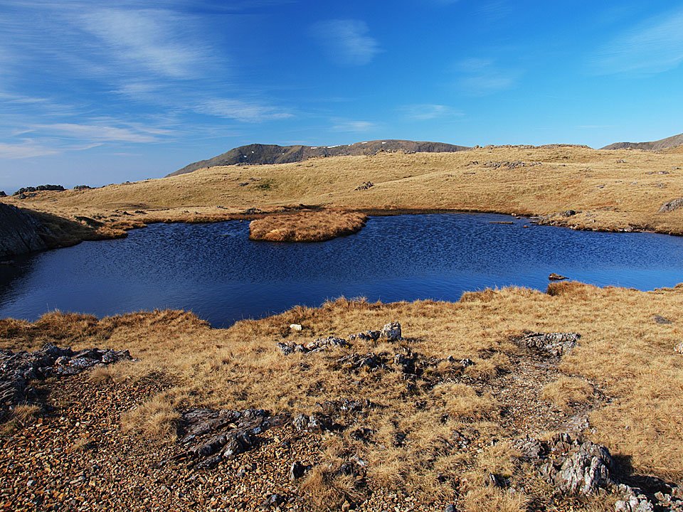
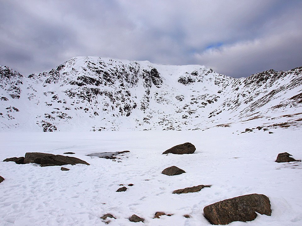
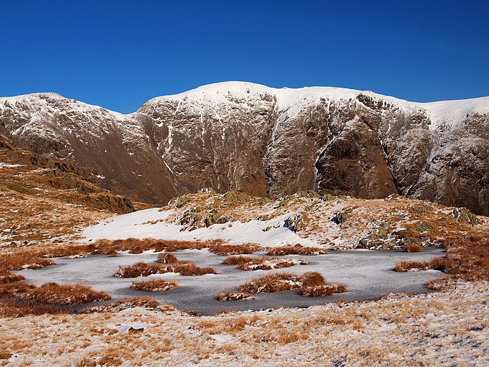
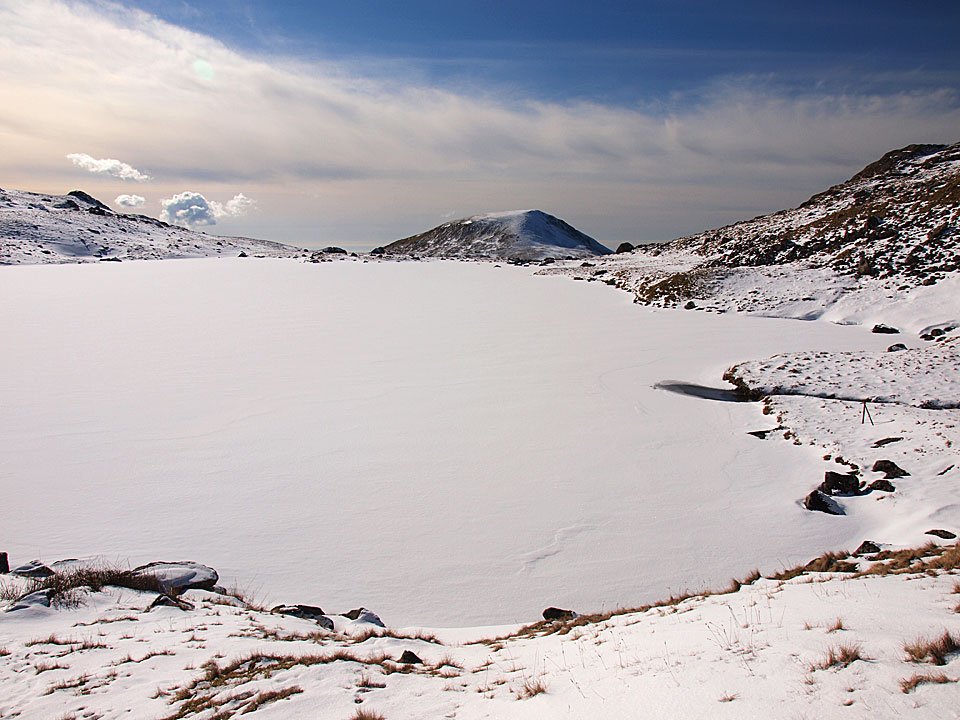
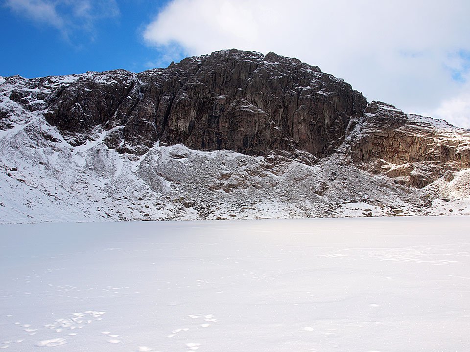
That looks more tarn-like, however it is frozen solid too.

11.02.10-182

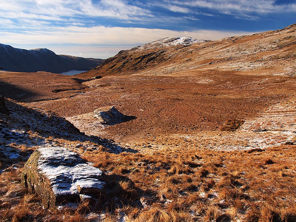
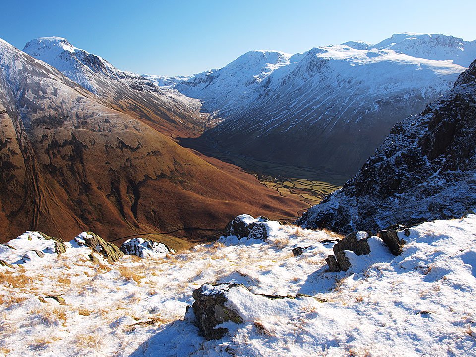
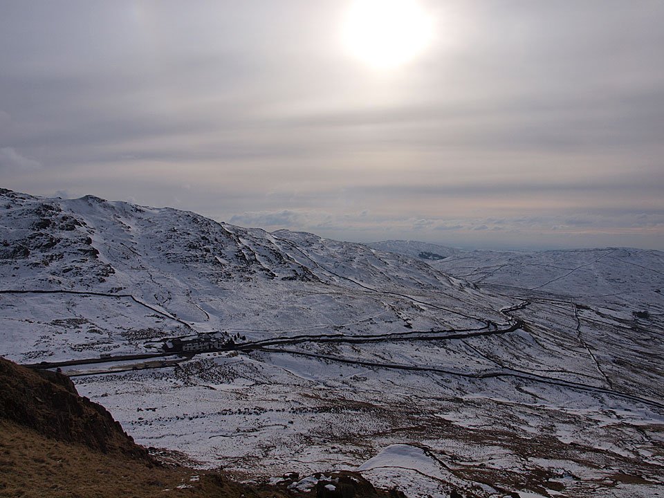
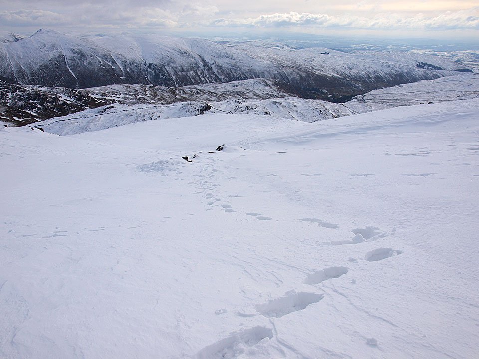
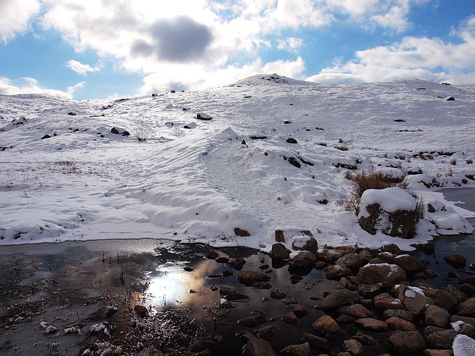
Pike o' Blisco and Buscoe - that descent was interesting in places, the usual bogginess replaced with great sheets of ice.

11.02.10-186

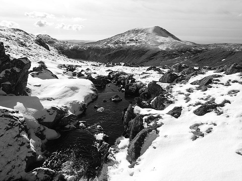
Bowfell and Buscoe Sike.

11.02.10-199

Hell Gill falls.

11.02.10-205

Oxendale.

11.02.10-206

Late sunshine on Side Pike.

11.02.10-209

The Langdale Pikes, with full sunshine on them now.

Beacon Fell

Walked on 08/02/2010

Start point: At the end of the minor road from Brown Howe (SD 281 916)

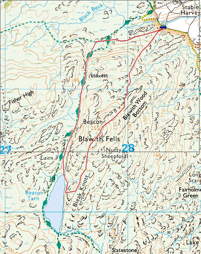
Tottle Bank – Beacon Fell (OF) – Beacon Tarn – Wool Knott (OF) – Tottle Bank

Distance: 3 miles     Total Ascent: 245 metres     Time Taken: 1 hour

Weather: Cool, clouding over. 5°C

This morning was lovely and clear with wall to wall blue sky…by the time I eventually made it out all that was gone and had been replaced by quite thick, grey cloud. There was the odd sunny spell but nothing like earlier conditions and I managed a quick walk up to Beacon Fell which turned out to be a muddy and squelchy one too.

Beacon-Fell

08.02.10-003

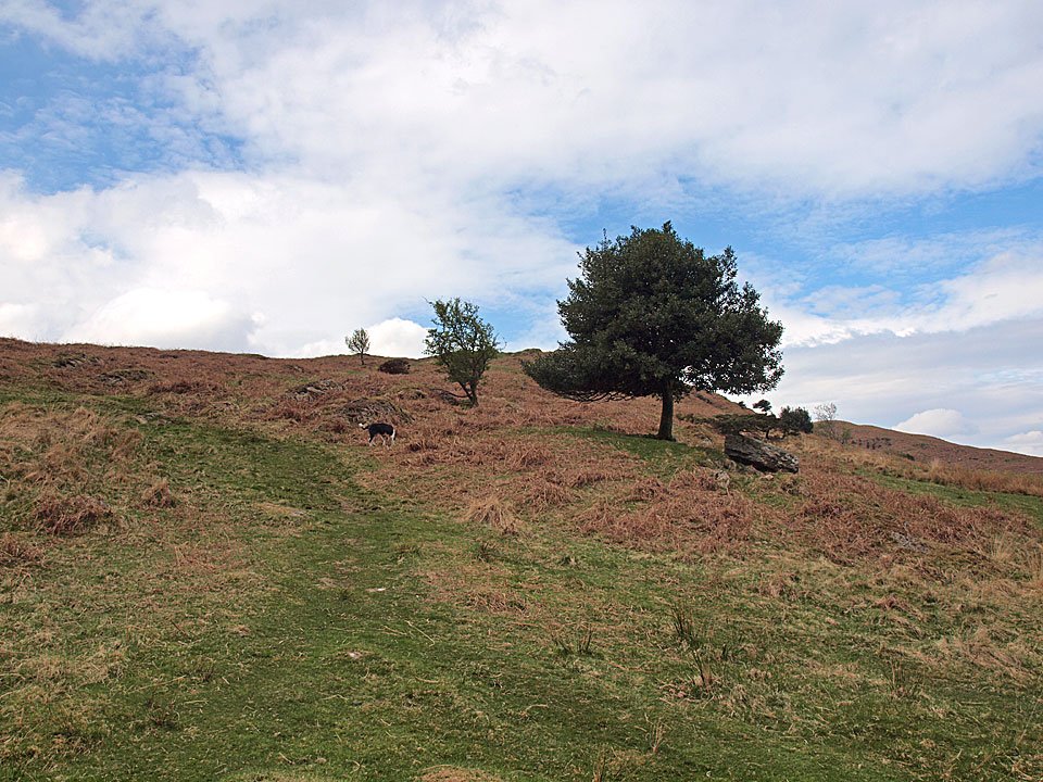
The Coniston fells and the holly tree at the start of the climb to Beacon Fell.

08.02.10-008

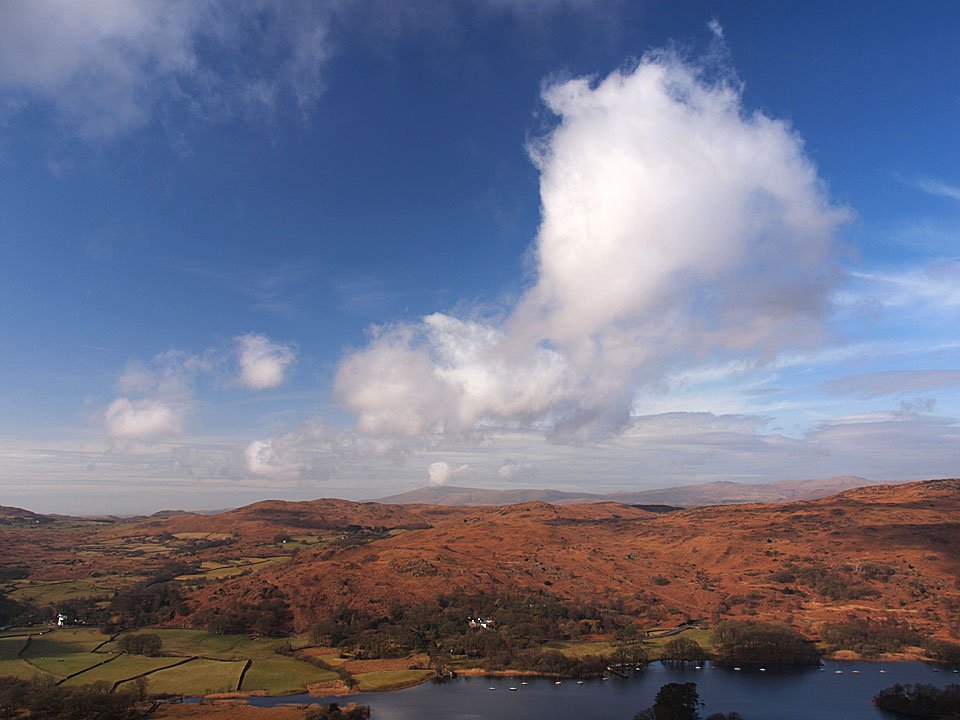
Blue sky over towards Caw and Dunnerdale.

08.02.10-016

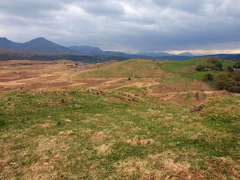
Moody skies over Wetherlam and beyond in complete contrast to earlier this morning.

08.02.10-018

Casper and Dougal patiently wait for me at the gully.

08.02.10-021

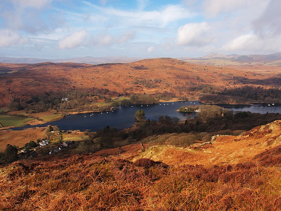
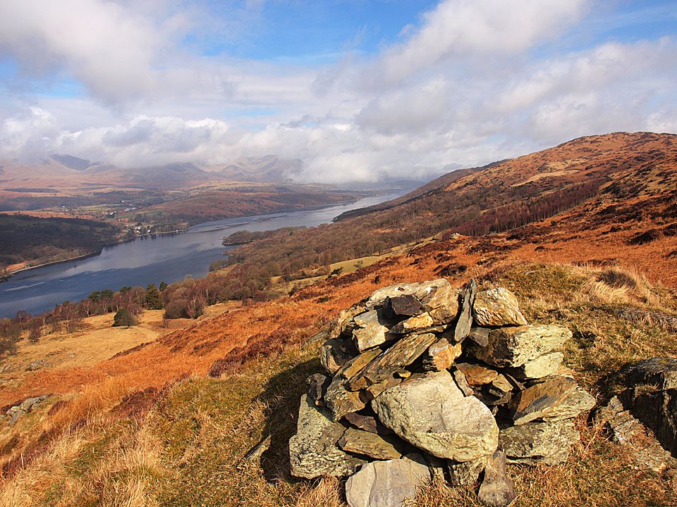
Coniston Water.

08.02.10-022

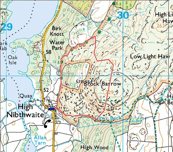
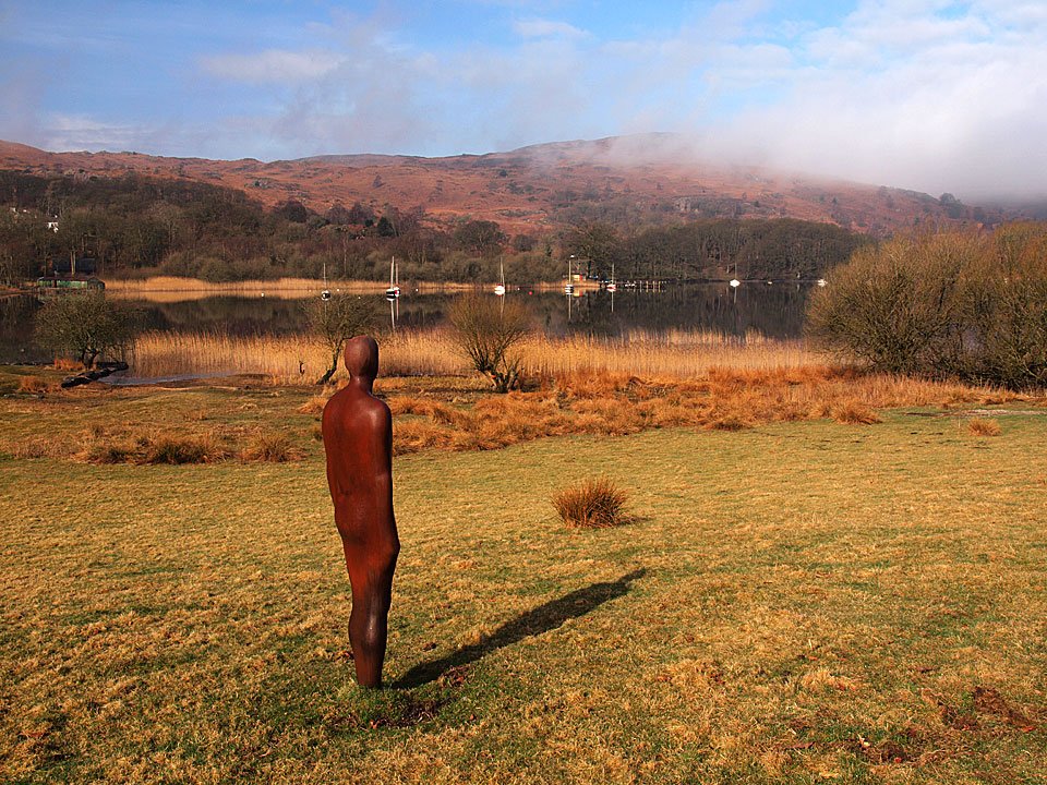
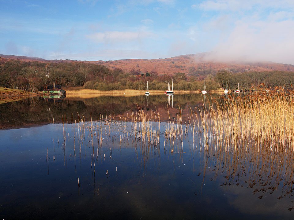
High Nibthwaite and the southern end of Coniston Water.

08.02.10-030

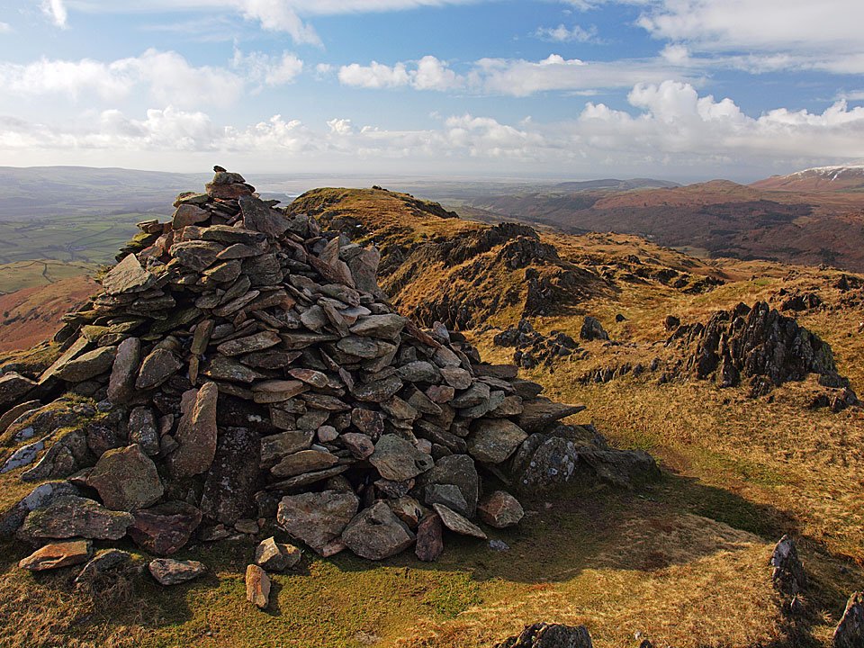
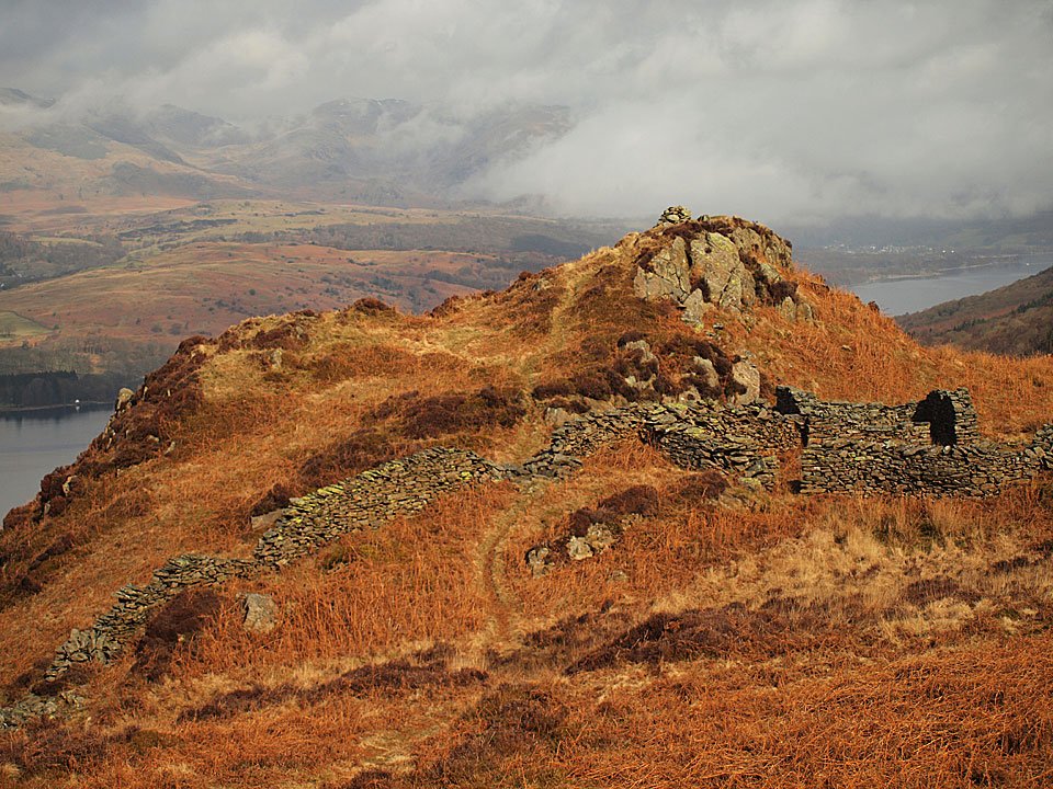
Beacon summit.

08.02.10-036

The Coniston fells from Beacon - there is no treasure tin here now.

08.02.10-040

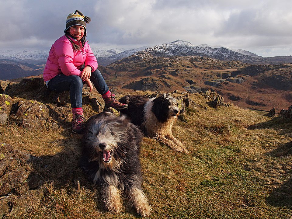
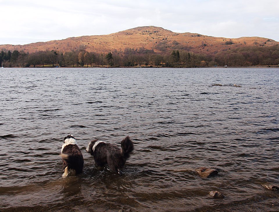
There is, however, a muddy pool and these two have just found it again!

08.02.10-053

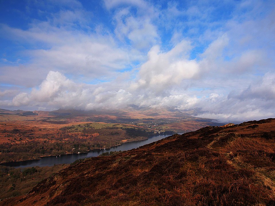
Almost a full length view of Coniston Watrer.

08.02.10-057

Beacon Tarn and Wool Knott above it, to the left.

08.02.10-067

A brief iinterlude of bright sunshine looking back to Beacon Fell.

08.02.10-077

The Coniston fells across Beacon Tarn. This end of the tarn is still frozen.

Wool Knott

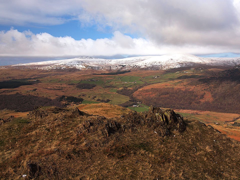
Beacon Tarn and Beacon Fell from Wool Knott.

08.02.10-090

Looking southwards along the Crake Valley.

08.02.10-096

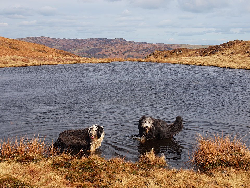
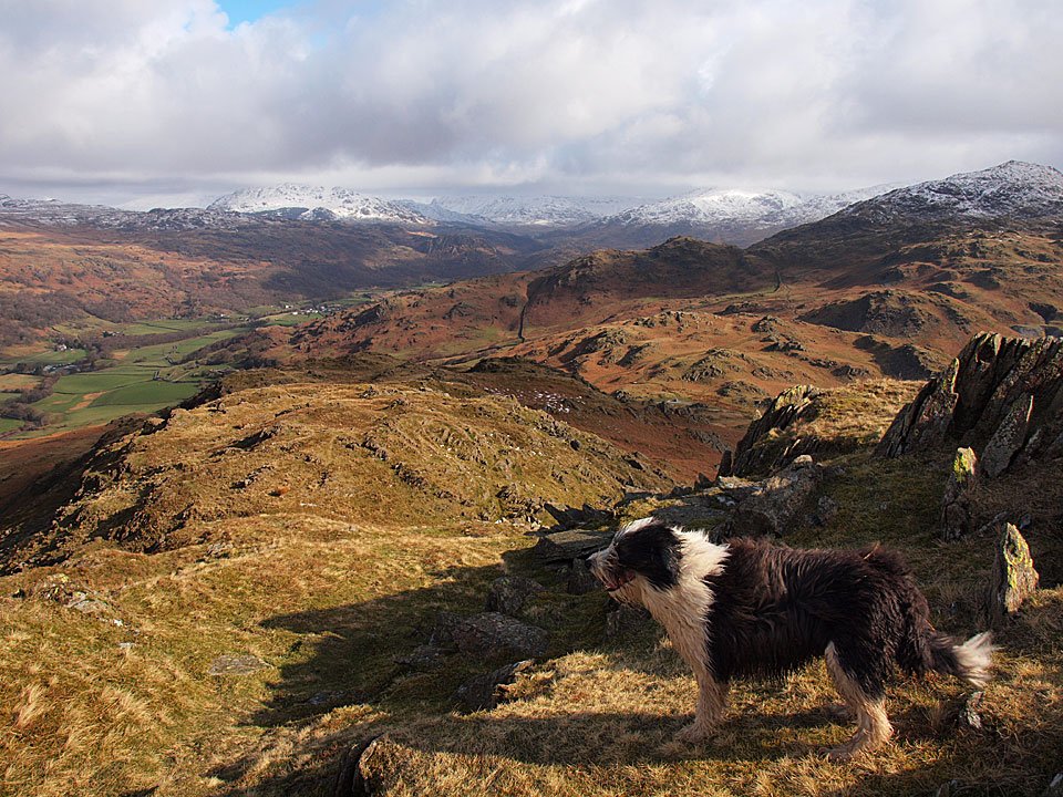
Down at the tarn - time to get cleaned up a bit in here for Casper and Dougal.

08.02.10-100

Coniston in winter.

Great Gable

Walked on 03/02/2010

Start point: Wasdale Head (NY 187 087)

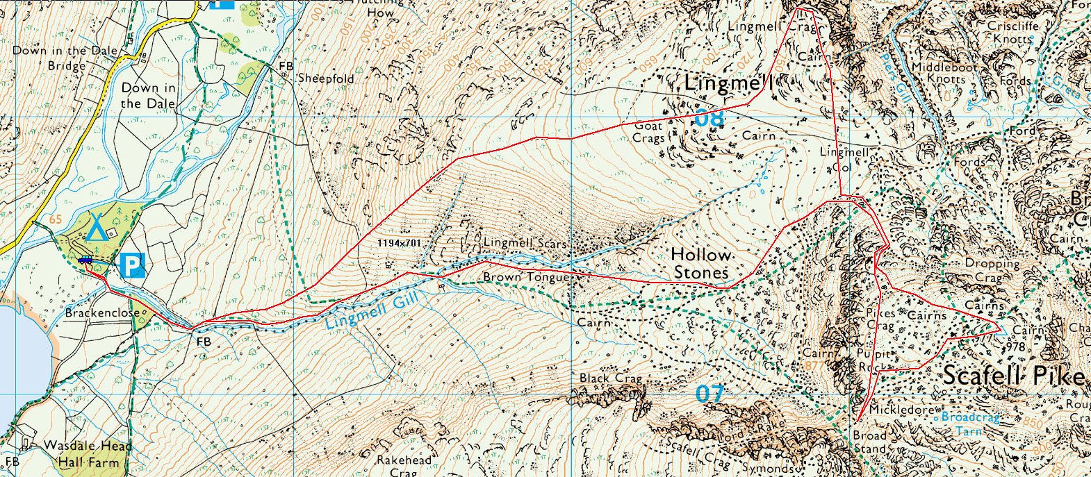
Wasdale Head – Moses Trod – Gavel Neese – Beck Head – Great Gable – Windy Gap – Green Gable – Aaron Slack – Sty Head – Moses Trod – Wasdale Head

Distance: 6 miles     Total Ascent: 900 metres     Time Taken: 4 hours 15 minutes

Weather: Cold and clear. 2°C

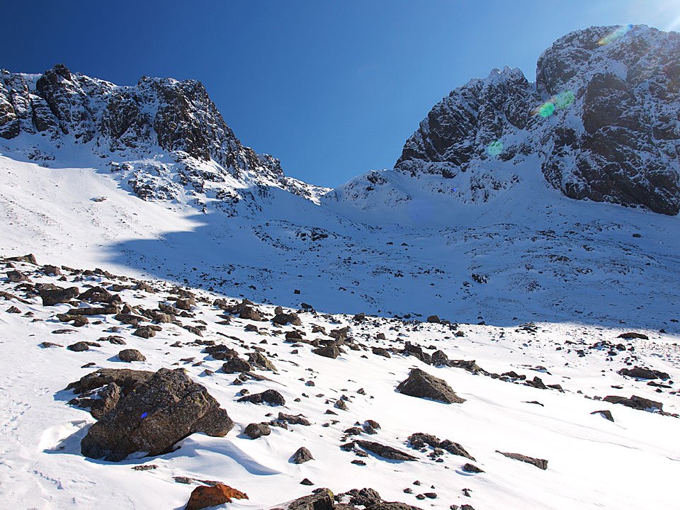
It was a clear night last night and very cold this morning in Wasdale. Once up above 600m, the wind added an extra chill factor and the snow was iced over which meant crampons and ice axe were definitely required. It all made the going quite slow but it was a really enjoyable winter walk and it was very quiet up there today – I didn’t see a single person or indeed a footprint!

IMG_0036

03.02.10-004

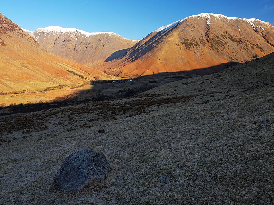
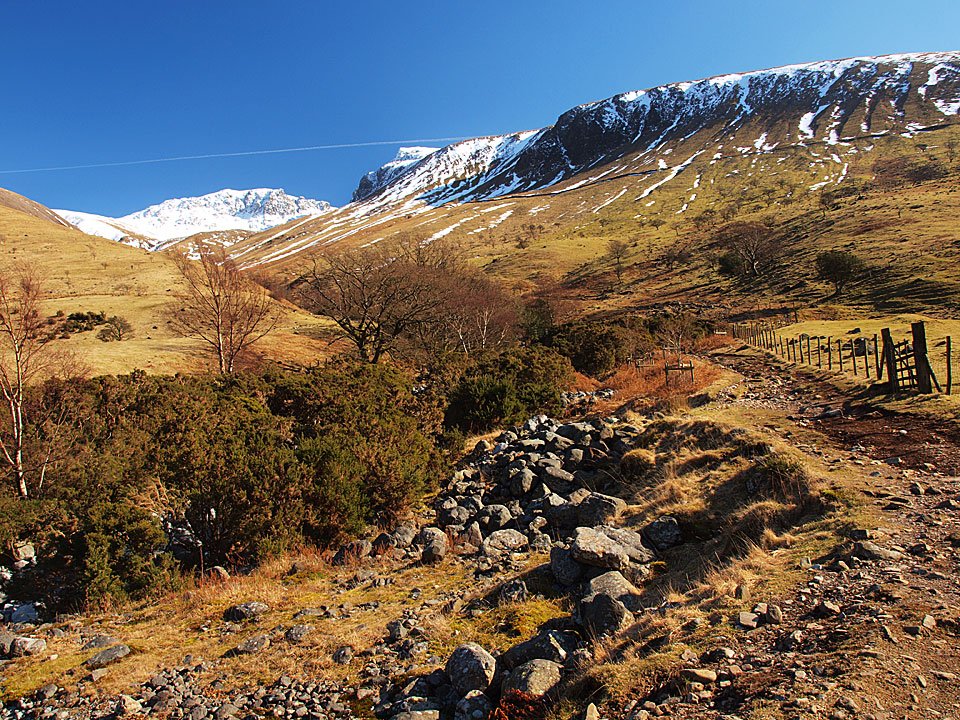
Pillar dominates Wasdale head.

03.02.10-009

Looking into Mosedale.

03.02.10-011

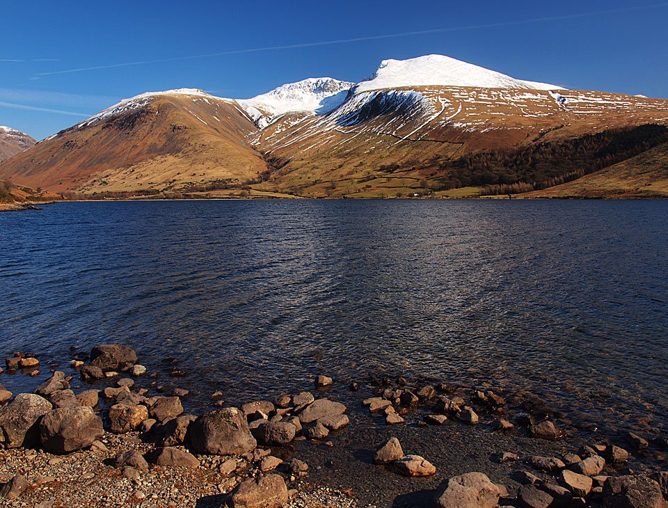
Great Gable.

03.02.10-046

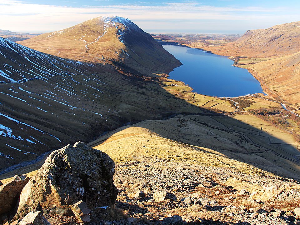
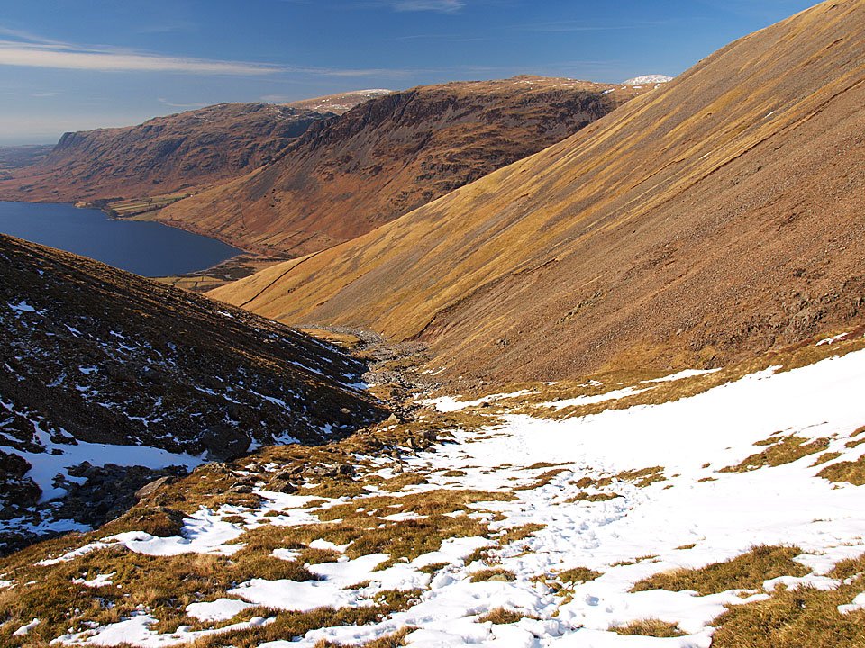
Wasdale from the start of the climb to Great Gable.

03.02.10-065

High Stile and High Crag across the frozen Beck Head Tarns.

03.02.10-071

Kirk Fell across Beck Head.

03.02.10-076

Ennerdale and the High Stile ridge with Grasmoor to the right. The Solway Firth and Scotland are clearly visible today through the gap.

03.02.10-079

Mono Green Gable across Stone Cove.

03.02.10-081

The climb from Beck Head.

GG_small

A panoramic view from Beck Head. Select on the image to see a larger version.
03.02.10-097

Pillar and Scoat Fell across Kirk Fell.

03.02.10-100

The climb from Beck Head was up iced over snow, so crampons were certainly required today.

03.02.10-103

Approaching Great Gable summit.

03.02.10-105

Great Gable summit with the FRCC memorial plaque central.

03.02.10-109

The sky to the south was quite eerie with the sun trying to burn through, here looking across to the Scafells.

03.02.10-114

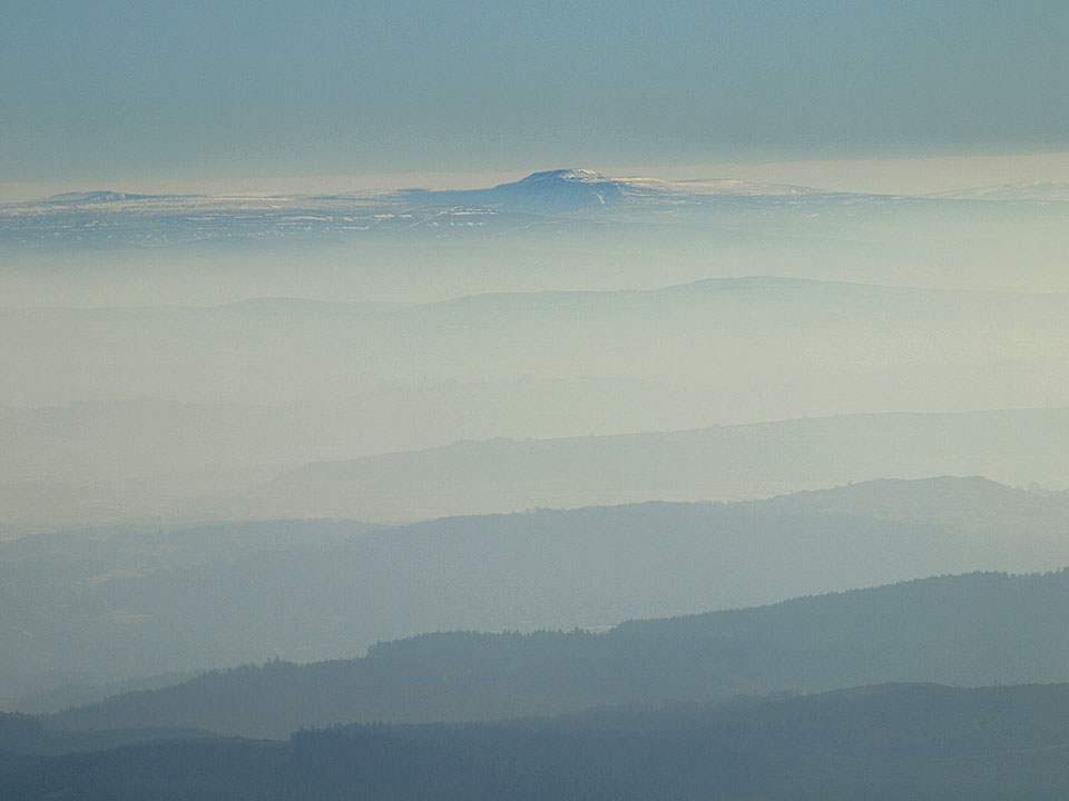
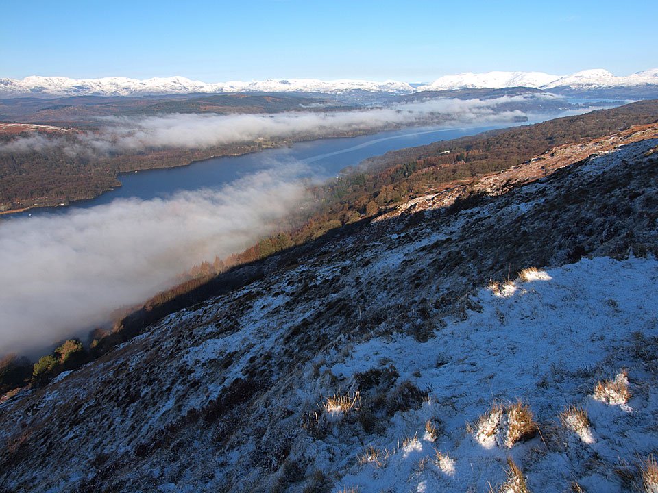
Looking to the south east, there is a big inversion over towards Windermere with Ingleborough visible across the low cloud.

03.02.10-119

Casper has seen it all before and has 40 winks whilst Dougal seems to be enjoying the view.

03.02.10-132

The Langdale Pikes.

Westmorland Cairn

Wasdale from The Westmorland Cairn.

03.02.10-146

Casper living on the edge.

03.02.10-154

Great Hell Gate.

03.02.10-158

Ingleborough over Allen Crags.

03.02.10-162

Green Gable from the treacherous descent to Windy Gap.

03.02.10-163

Looking northwards from Windy Gap.

03.02.10-166

Great Gable from Green Gable.

03.02.10-170

A glimpse of Buttermere and Crummock Water from Green Gable.

Green Gable

Great End and the Scafells from Green Gable.

03.02.10-179

Styhead Tarn from Aaron Slack.

03.02.10-189

Great End reflected.

03.02.10-192

Styhead Tarn.

SH

Frozen Styhead Tarn.

03.02.10-198

Casper on his throne.

03.02.10-204

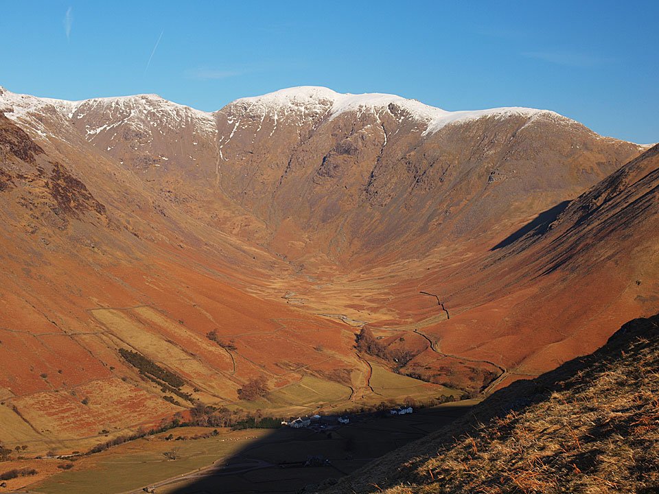
Lingmell and Piers Gill.

03.02.10-207

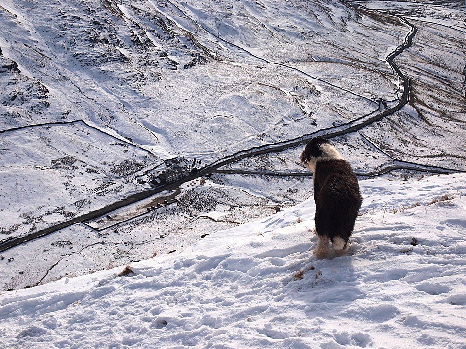
The way back to Wasdale, looks like Casper and Dougal have spotted something down there.

Miller Ground

Walked on 02/02/2010

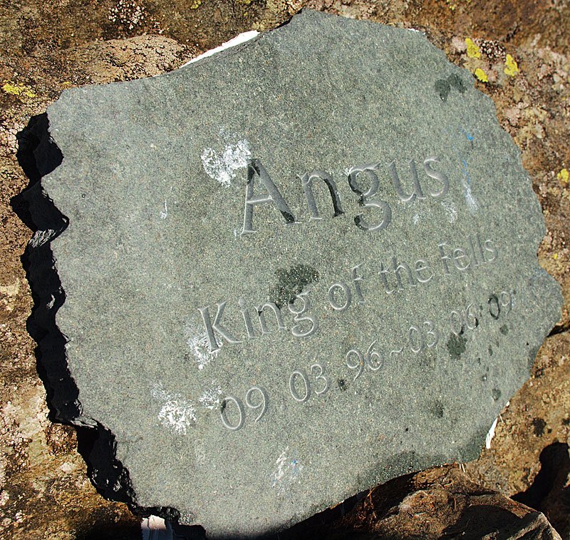
I was headed for the fells this morning but the rain was very heavy (and I mean bouncing!) so I decided to stick to lower ground and have a walk along the banks of Windermere. This walk on the outskirts of Bowness is a walk we have done many times over the years, in fact it brought back memories of Angus as he loved to swim here.

02.02.10-003

Heading down to Miller Ground.

02.02.10-004

Cascades on the way down to the mere.

02.02.10-007

Fun and frolics at Low Millerground. In the olden days, a rowing boat foot ferry crossed Windermere from here over to Belle Grange.

02.02.10-009

On this early 17th century cottage you can see the bell tower - without a bell now - that was used to summon the ferryman.

02.02.10-012

The view to Meregarth looking north along Windermere.

02.02.10-015

The view to Meregarth looking north along Windermere.

02.02.10-018

Boathouses and jetties at Low Miller Ground.

02.02.10-023

Have a stretch Casper! The Langdale Pikes are just about visible through the rain and mist.

02.02.10-025

Further along towards Rayrigg Hall, there is this plaque set upon a large rock - one which can easily be missed. In 1840 Bowness had a royal visitor when Queen Adelaide, the widow of William IV, arrived here by boat at the spot now known as Queen Adelaide's Hill which is a scenic viewpoint. Several establishments changed their name in honour of the visit including The Ship public house which became known as The Royal. This was recently demolished though still called 'The Royal' but it now houses Costa Coffee and Tesco amongst others in the centre of Bowness!

02.02.10-028

It is hard to see where Queen Adelaide landed - I presume there must have been a jetty here. The large rock in the foreground houses the plaque.


Caw

Walked on 29/01/2010

Start point: Kiln Bank Cross (SD 215 933)

Kiln Bank Cross – Park Head Road –  Brock Barrow – Long Mire – Caw (OF) – Park Head Road – Kiln Bank Cross

Distance: 3.5 miles     Total Ascent: 300 metres     Time Taken: 1 hour 30 minutes

Weather: Cold and clear. 2°C

It was almost unexpected today for the weather to turn so good so suddenly. The sun came out when I was booting up (footwear, not PC!) and stayed throughout the walk. The wind though was a really cold northerly – an icy blast. We bumped into Oscar the Beardie at the start, a regular on these fells and one we have seen a good few times before. As you can imagine, there was fur and wagging tails everywhere! By the end of the walk it was snowing really heavily and the high fells certainly had a good fall of new snow on them. Is this the resurgence of winter?

29.01.10-007

"...look at the mighty Caw, this pyramid, this mountain, this fell of fells. From the vale of the Duddon the Bearded fellows will unite with the fell-ninja, rise to the top and cast asunder all ye below..." extract from The Legend of Beenson Toste

29.01.10-002

As soon as I arrived at Kiln Bank Cross, the sun came out and the sky was blue. This is looking up to Stickle Pike from the road, but we headed the other way towards Caw this morning.

29.01.10-008

Harter Fell flanked by Scafell and Esk Pike.

29.01.10-025

Stickle Pike and Black Combe from a frozen pool on Brock Barrow.

29.01.10-028

Caw - our path is along Long Mire, up to the right.

29.01.10-037

The Duddon Valley from Brock Barrow - those poles are aerials for the valley below.

29.01.10-046

A bit windy up here Dougal?

29.01.10-050

Fox Haw and the track just followed from Brock Barrow over to the right.

29.01.10-051

Caw and the route up - the McMahon direct route.

29.01.10-064

Looking across to Black Combe from the climb. to the right is Brock Barrow (a different one to the one I have just been on!) with Stickle Pike the nearer fell.

29.01.10-069

Hurry up dad! They are much quicker than me up here with 4 leg drive.

29.01.10-081

Caw summit.

29.01.10-084

Looking across to the Coniston fells.

29.01.10-087

Fresh snow on the high fells at the head of the Duddon Valley.

29.01.10-106

Looking into the sun to the south.

29.01.10-108

The Duddon Estuary.

29.01.10-113

The Duddon Valley from the descent.

29.01.10-121

Esk Pike and Bowfell.

29.01.10-123

Dow Crag and the Seathwaite Fells surrounding The Cove.

29.01.10-125

Snowy Scafell and Scafell Pike, Harter Fell in the foreground.

29.01.10-132

A greener looking Whitfell and The Pike across the Duddon Valley.

29.01.10-137

A final view of the Duddon Valley before heading back to Kiln Bank Cross.

29.01.10-154

Some of the famous Lake District Herdwick sheep.

Silver How

Walked on 26/01/2010

Start point: Grasmere Church (NY 336 073)

Grasmere – Allan Bank – Silver How – Kelbarrow – Grasmere

Distance: 2.75 miles     Total Ascent: 325 metres     Time Taken: 1 hour 15 minutes

Weather: Overcast. 3°C

It was another grey day today though not nearly so cold as there was little wind. We had a quick jaunt up to Silver How from Grasmere and even this normally popular fell was quiet today – there was no one around up there.

26.01.10-004

Seat Sandal above Grasmere.

26.01.10-006

Stone Arthur.

26.01.10-009

Helm Crag and Seat Sandal.

26.01.10-013

Dougal licks his lips at the prospect of this walk on the climb from Allan Bank.

26.01.10-015

Looking back along the path.

26.01.10-023

Jennifer Juniper.

26.01.10-025

Wray Gill.

26.01.10-032

Heading for Silver How.

26.01.10-038

These two have found a solitary patch of snow to play on - Dougal watches as his piece of snow gets away from him!

26.01.10-040

The Langdale Pikes from Silver How.

26.01.10-046

Casper and Dougal at the summit.

26.01.10-049

Casper checks out Wetherlam and the Coniston fells (and the sheep in the foreground, no doubt).

26.01.10-052

A view through to Fairfield, lost in the murk.

26.01.10-054

Grasmere and Rydal Water.

26.01.10-056

Loughrigg Fell from the descent.

26.01.10-061

Loughrigg again, from the bottom of Silver How.

26.01.10-070

Mucky pups on the way back to Grasmere.

Starling Dodd

Walked on 25/01/2010

Start point: Bowness Knott Car Park (NY 109 153)

Bowness Knott Car Park – Herdus – Great Borne – Starling Dodd – Little Dodd (Ennerdale) – Bowness Knott Car Park

Distance: 7.2 miles    Total Ascent: 735 metres     Time Taken: 3 hours 30 minutes

Weather: Cold wind, snow. 2°C

Today was a typical January day – cold and windy with snow and a grey, dull and flat light. There was fresh snow above 500m and the wind was raw yet the walk was still enjoyable. I can scarcely believe it is 3 years since I walked over these fells – where does the time go?

25.01.10-005

Crag Fell over Bowness.

25.01.10-008

Following the road towards Herdus - I followed the wall beyond the far trees directly ahead before climbing the path through the bracken to the left of the photo. From there the climb was a steep one.

25.01.10-011

Crossing Rake Beck.

25.01.10-016

Crag Fell and Anglers' Crag across Ennerdale Water.

25.01.10-025

There was a lot of forestry work going on around the car park at Bowness and Bowness Knott looks a bit more accessible now than it was with all the trees gone.

25.01.10-030

Up above the snowline at the top of Herdus. The snow was constantly falling now and throughout the walk.

25.01.10-038

Heading for Great Borne across an icing sugar topped Herdus, Casper and Dougal try to blend in with the background.

25.01.10-045

The frozen summit of Great Borne with the pointed Red Pike in view.

25.01.10-050

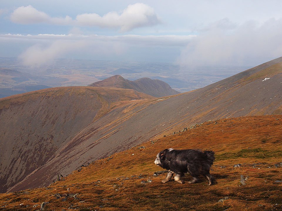
Mellbreak and Grasmoor from Great Borne. Dougal has the bit between his teeth now and leads the way.

25.01.10-051

Looking back to Great Borne from the climb to Starling Dodd.

25.01.10-054

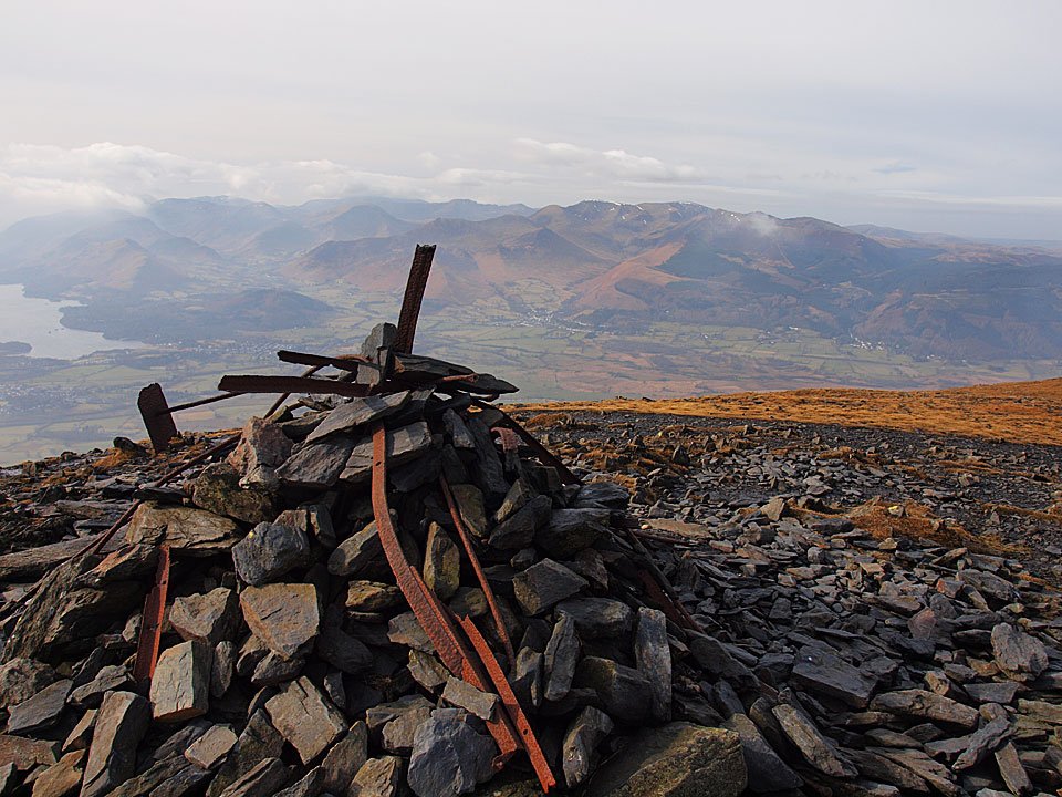
Red Pike and High Stile from the familiar twisted ironwork cairn on Starling Dodd.

25.01.10-060

Any old iron? Casper and Dougal on Starling Dodd.

25.01.10-063

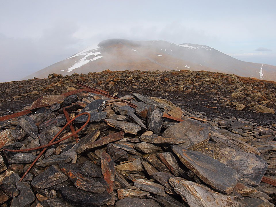
Starling Dodd cairn.

25.01.10-064

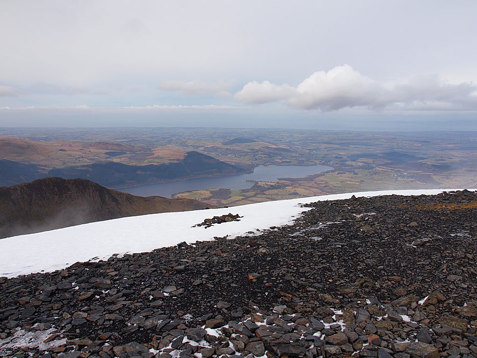
A photo of contrasts - Grasmoor and Crummock Water from Starling Dodd.

25.01.10-067

Monochromatic Red Pike.

25.01.10-082

Moonscape at the top of the descent.

25.01.10-089

Gillinter Beck.

25.01.10-094

Pillar across Ennerdale.

25.01.10-096

A closer view of Pillar with Pillar Rock prominent.

25.01.10-098

A view into Windgap Cove across Ennerdale to Scoat Fell and Pillar.

25.01.10-109

Pillar dominated this view along Ennerdale with Green Gable and Great Gable in view.

25.01.10-116

Ennerdale reflections.

25.01.10-129

25.01.10-134

Crag Fell.

Green Quarter Fell

Walked on 20/01/2010

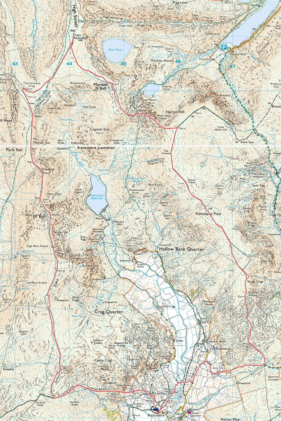
Start point: Verge parking at Green Quarter, Kentmere (NY 461 040)

Green Quarter – Skeggles Water – Hollow Moor on Green Quarter Fell (OF) – a nameless summit 1370′ – Green Quarter

Distance: 4 miles     Total Ascent: 266 metres    Time Taken: 1 hour 30 minutes

Weather: A raw, cold wind. 4°C

This morning was a big contrast with my walk to Orrest Head less than a week ago which was completed in heavy falling and deep snow – now the snow has almost completely disappeared at valley level, although of course it is still sticking stubbornly up on high. It was a bit of a grey day and it was as cold as it looks in some of the photos, especially in the strong wind.

Green Quarter Fell

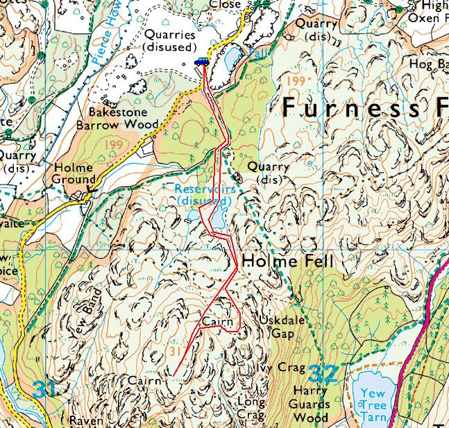
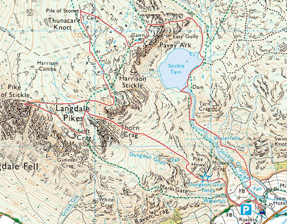
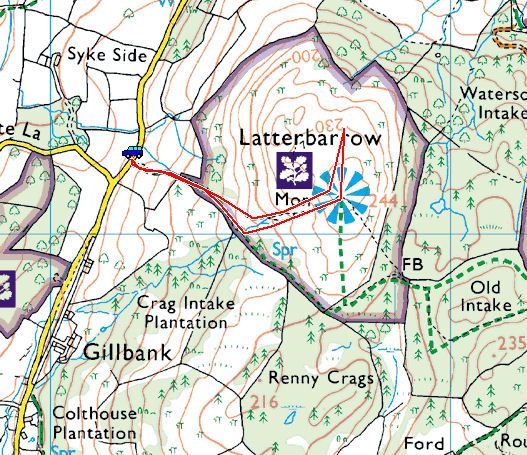
Green Quarter Fell Route Map.

20.01.10-008

Kentmere from Green Quarter with Kentmere Church in the centre.

20.01.10-011

Kentmere Tarn.

20.01.10-014

The higher fells still have snow on them but these sheep seem quite happy that they can graze once more.

20.01.10-015

Kentmere from the climb to Skeggles Water.

20.01.10-022

Frozen Kentmere Tarn and Sour Howes and Sallows beyond.

20.01.10-023

Looking back along the bridleway to Kentmere.

20.01.10-039

Passing the ruined barn on the bridleway, Skeggles Water in view over the snow lined wall.

20.01.10-045

Skeggles Water from the climb to Hollow Moor with the fells of the Bannisdale Horseshoe beyond.

20.01.10-051

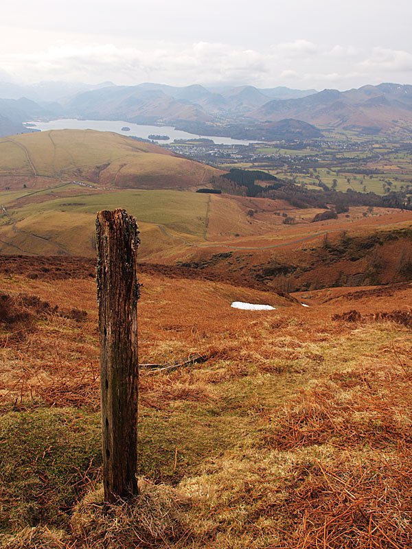
Hollow Moor, the summit of Green Quarter Fell, marked with an old gatepost.

20.01.10-053

Skeggles Water from Hollow Moor.

20.01.10-060

Casper and Dougal on Hollow Moor.

20.01.10-064

Upper Kentmere from the descent.

20.01.10-069

Shipman Knotts.

20.01.10-074

There are half a dozen wild fell ponies on the lower slopes of Shipman Knotts.

20.01.10-081

Back to Green Quarter, Sallows and Yoke on the skyline.

Orrest Head

Walked on 14/01/2010

Start point: Windermere (SD 414 987)

Orrest Head (OF) from Windermere

Distance: 1 mile     Total Ascent: 120 metres    Time Taken: 30 minutes

Weather: Snowing. 1°C

The snow was heavy and constant for our walk up to Orrest Head this morning and this meant that all views from this renowned viewpoint were obliterated. I find that walking through snow clad trees on snowy paths has its own merits though, and coupled with the muffled and muted sounds it still makes it a different but nevertheless enjoyable experience.

14.01.10-002

Snowy Windermere at the start of the walk.

14.01.10-003

The footpath to Orrest Head - views to the Lake District fells it says, but not today.

14.01.10-006

Looking over the rooftops towards the lake.

14.01.10-009

Walking through the trees (spot Casper?).

14.01.10-011

14.01.10-027

Casperoonals.

14.01.10-032

The Doogster.

14.01.10-034

The top of Orrest Head; there's no one around today to sit and admire the views.

14.01.10-037

The summit indicator is snowed over, at least it is showing exactly what you can see.

14.01.10-051

The summit indicator is snowed over, at least it is showing exactly what you can see.

14.01.10-061

Orrest Head trees and the snow is coming down thick and fast now

14.01.10-071

Casper shows Dougal how to tackle a wall stile.

14.01.10-093

Alpine looking trees. Later, on the way home (after we had an agreeable lunch of course!)...

14.01.10-104

Skelwith Force.

14.01.10-113

Looking upstream along the River Brathay from the falls, the Millennium Bridge can just be seen.

14.01.10-117

The view in the opposite direction.

14.01.10-126

Skelwith Bridge.

Walla Crag

Walked on 12/01/2010

Start point: Rakefoot Lane (NY 282 226)

Rakefoot Lane – Castlerigg Farm – Rakefoot – Walla Crag – Nest Brow – High Nest – Castlerigg Stone Circle – Rakefoot Lane

Distance: 4.7 miles    Total Ascent: 246 metres     Time Taken: 2 hours

Weather: Cold and windy. 3°C

The temperature has warmed since last week and there has been some thaw over the last couple of days. We had a short walk from Rakefoot Lane up to Walla Crag – it was supposed to be an easier walk to give Dougal a taste of winter conditions but as it turned out, the weather up there was quite severe so it was a good job we were only going a short way! We returned via Castlerigg Stone Circle and en route we were recognised by a couple of StridingEdge fans from Leicester – it’s always nice to stop for a chat with website viewers.

Walla Crag

Walla Crag Route Map.

12.01.10-002

Casper waits for us at Castlerigg Farm.

12.01.10-014

Icy Brockle Beck.

12.01.10-027

Fun and frolics in the snow.

12.01.10-032

Casper and Dougal are amazed - it's the sun! This was certainly the calm before the storm and by the time we reached the top of the wall in this photo, the wind became really strong making walking quite difficult at times, especially in the knee depth drifts.

12.01.10-041

Looking back to Blencathra.

12.01.10-065

Wind blown snow at the kissing gate makes a wintry scene. It certainly stung the eyes, that snow.

12.01.10-071

The view in the opposite direction towards Blencathra.

12.01.10-079

Frosted Dougal and Casper.

12.01.10-088

The view over a cold looking Keswick.

12.01.10-100

I could hardly stand up here as the wind was so strong and the snow was deep on this section. I retraced my steps to the gate to get on the other side of the wall which seemed a much safer option than trying to walk the narrow path along the wall here as there is a steep drop off to the right.

12.01.10-103

Castlerigg Fell - Bleaberry Fell to the right.

Walla_s

The view from Walla Crag summit, Derwent Water below is frozen. Select on the image to see a larger version.

12.01.10-154

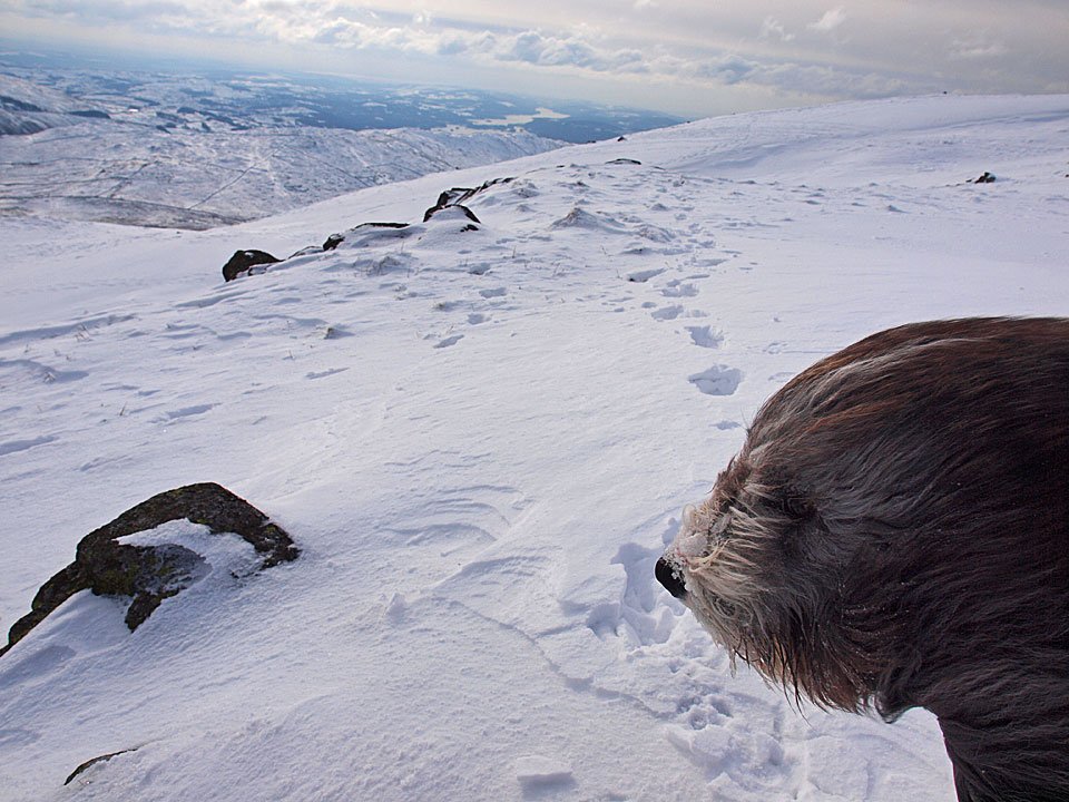
Snowy old Dougal. He loves nothing better than foraging in the deep snow, hence the covering on his nose.

12.01.10-158

The snow dogs at the top of Walla Crag.

12.01.10-165

Spindrift from the top of Walla Crag.

12.01.10-168

Looking across to the north western fells.

12.01.10-172

The view towards Borrowdale.

12.01.10-188

Mono Blencathra from the descent.

CSC

Blencathra from Castlerigg Stone Circle. Select on the image to see a larger version.

12.01.10-207

The view from the stones.

12.01.10-210

The north western fells under a heavy sky.

The Coniston Fells

Walked on 07/01/2010

Start point: The Sun Inn, Coniston (SD 300 975)

Coniston – Walna Scar road – Brown Pike – Buck Pike – Dow Crag – Goat’s  Hawse – Coniston Old Man  – Brim Fell – Levers Hawse –  Great How – Swirl How – Prison Band – Swirl Hawse – Levers Water – Boulder Valley – Coppermines Valley – Coniston

Distance: 10.2 miles    Total Ascent: 1085 metres     Time Taken: 5 hours 30 minutes

Weather: Cold and clear. -4°C

I actually came to Coniston yesterday (Wednesday 6th January) to walk theses fells but decided against it due to the heavy snow when I arrived there – I knew the fells would still be there another day and surely enough, this morning turned out lovely and clear. This would be fantastic and memorable day for a walk on the fells. According to Radio Cumbria, last night was the coldest ever recorded in Cumbria with a temperature of -14.5C recorded at Carlisle. When I got to Coniston it was -9C, so I knew it would be pretty cold today. As it turned out, it was quite warm in the sunshine but when in the wind or shade, then it was particularly noticeable how cold it really was.

Coniston

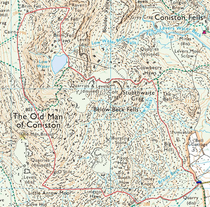
The Coniston fells route map.

07.01.10-010

Sunrise on The Old Man.

07.01.10-012

This snow filled lane is the approach to the Walna Scar Road, the gate is directly ahead.

07.01.10-015

Looking back along the Walna Scar Road.

07.01.10-024

Brown Pike above Cove Bridge.

07.01.10-032

The Old Man across The Cove.

07.01.10-034

Sunshine on Morecambe Bay to the south.

07.01.10-036

Casper at the Angus Shelter, Walna Scar beyond.

07.01.10-038

Snow cornice on Walna Scar.

07.01.10-049

Buck Pike from Brown Pike. Time to get the crampons on now for virtually the rest of the walk.

07.01.10-051

Looking back across Walna Scar and Caw to Black Combe.

07.01.10-057

The approach to Buck Pike.

07.01.10-059

Brown Pike from Buck Pike.

07.01.10-067

Dow Crag ahead from Buck Pike.

07.01.10-070

Easy Gully, Dow Crag.

07.01.10-076

The Scafell range from Dow Crag.

07.01.10-077

Close up on Scafell and Scafell Pike.

07.01.10-084

A frozen Goat's Water and Dow Crag from Goat's Hawse.

07.01.10-091

Looking across to Dow Crag from the slog up to The Old Man.

07.01.10-094

I found these skis conveniently placed on the trig. column on The Old Man summit.

07.01.10-096

When I found the owner, it was an old friend of mine Nathan Pike. Now that's what I call travelling in style!

07.01.10-097

Setting off for Brim Fell.

07.01.10-100

The view from the summit, clear as clear can be.

07.01.10-107

Heading for Brim Fell as Nathan realises it is harder to ski uphill than down! I caught him up again before he disappeared down Brim Fell Rake.

07.01.10-109

Looking back to The Old Man summit from the Brim Fell ridge.

07.01.10-110

A clear view of all the fells today.

07.01.10-112

Looking back once more from Brim Fell.

07.01.10-118

The eastern fells across Levers Water.

07.01.10-119

Swirl How and Great How Crags from the descent to Levers Hawse, to the left is Great Carrs.

07.01.10-122

Part frozen Seathwaite Tarn and Harter fell from Levers Hawse.

07.01.10-124

Grey Friar.

07.01.10-125

A clear view to the Howgills across Levers Water.

07.01.10-127

Brim Fell across Levers Hawse from the climb to Great How Crags, Dow Crag and Black Combe to the left.

07.01.10-134

The Howgills from Swirl How, to the right is Ingleborough.

07.01.10-138

Swirl How.

07.01.10-143

The Scafells to Bowfell across Great Carrs.

07.01.10-144

Skiddaw and Blencathra across the Langdales.

07.01.10-151

Prison Band.

07.01.10-157

Descending Prison Band, Wetherlam ahead. The snow was often knee deep down here making the going hard.

07.01.10-163

The view from Swirl Hawse.

07.01.10-167

Blazing a trail from Swirl Hawse following Swirl Hawse Beck. The more usual path is further up to the right but this seemed as good a way as any today...but watch out for the big holes like the one at the bottom left of the photo! At least I only went waist deep and didn't disappear altogether.

07.01.10-170

In the shade at Levers Water and the sun is already setting, Great How Crags in the sunshine.

07.01.10-182

Pink tinged Wetherlam from Boulder Valley.

07.01.10-191

Looking to the YHA across Coppermines Valley.

07.01.10-195

The walking huts with the Yewdale Fells tinged with the sunset.

07.01.10-196

Coppermines Valley. On the way home...

07.01.10-199

The fells recently walked from Torver.

07.01.10-203

Lake District sunset.

07.01.10-206

Frozen Coniston Water at Brown How.

07.01.10-208

Bethecar Moor from Brown How.

Stickle Pike

Walked on 01/01/2010

Start point: Kiln Bank Cross (SD 215 933)

Kiln Bank Cross – Stickle Tarn – Stickle Pike (OF) – Kiln Bank Cross

Distance: 1 mile     Total Ascent: 105 metres     Time Taken: 1 hour

Weather: Cold and clear. 2°C

We had a short walk today up to Stickle Pike to help blow away some of the Christmas cobwebs. It was a lovely morning, very still with no one around and we had great fun walking in the crisp snow and ‘daring’ to walk across the frozen Stickle Tarn.

01.01.10-002

A brief moment of blue sky from Kiln Bank Cross looking over the road to Stickle Pike.

01.01.10-005

Looking back along the road we came up which was treacherous sheet ice. To the south the cloud was building up and the sun was trying to break through it.

01.01.10-008

Connie the mountaineer.

01.01.10-012

Climbing higher with a strange, silhouetted figure in the background!

01.01.10-032

Heading for Stickle Tarn.

01.01.10-047

Winter sky across frozen Stickle Tarn.

01.01.10-054

Winter at the edge of the tarn. Hmm, that ice looks quite thick...

01.01.10-061

Me and Casper are on the ice but Dougally Doo is not quite so sure...

01.01.10-064

...a quick look before a much quicker exit!

01.01.10-071

Me and Connie practiced our ice skating on here.

01.01.10-092

Climbing to Stickle Pike whilst Dougal eats the snow.

01.01.10-097

The Duddon Valley remains frozen below whilst Wasdale looks as though it is getting some sunshine.

01.01.10-100

Looking south to the Duddon Estuary across the south summit.

01.01.10-105

Scafell and Slight Side.

01.01.10-106

Winter sun over the Duddon Estuary, Barrow-in-Furness and Walney Island. On the horizon is the Barrow Offshore Wind farm (BOW).

01.01.10-123

Casper, Dougal and Connie on the summit, Great Stickle behind. Looks like a snow shower passing over the estuary too.

01.01.10-144

Looking to Caw from the descent and now the sun has come through once more.

01.01.10-150

Stickle Pike.

01.01.10-156

Back to Stickle Tarn.

01.01.10-163

Reflected sun on the tarn now, Connie gives scale to the right.

01.01.10-168

Caw and snowy Dunnerdale.

01.01.10-171

Clearing to the south-east.

01.01.10-178

A fish-eye view from the ice on Stickle Tarn.

01.01.10-179

Caw from the middle of Stickle Tarn!

01.01.10-181

Stickle Pike from the middle of Stickle Tarn.

01.01.10-189

Four amigos with long shadows, even at midday - L-R me, Dougal, Connie and Casper.

01.01.10-195

Hesk Fell across the Duddon Valley. Now for the hardest bit - driving back down the road...gulp!

Snowy Bowness

Walked on 20/12/2009

Snowy Bowness

Yesterday we had the most memorable day at Hawkshead when the snow was falling heavily and it was the perfect Christmas scene. I don’t think Connie can remember anything like it before so it was quite special. The snow continued throughout yesterday afternoon and overnight so when it came to getting to Bowness, predictably the world came to a bit of a standstill today. The main A590 beyond Ulverston was bad and traffic was at a crawl. The A592 to Bowness was also had lots of snow on it but there weren’t so many cars around. When we got to Bowness it was like a different world for half and hour or so…

20.12.09-002

Heavy snow on the A592 approaching Fell Foot.

20.12.09-006

It all looks and feels very alpine along here on the other side of Fell Foot.

20.12.09-015

It is clearer to the north from Beech Hill.

20.12.09-020

Pretty as a picture - St. Martin's church in Bowness - the sun is out and the sky is blue.

20.12.09-031

Snowy Love the Lakes.

20.12.09-037

Walking down to Bowness Bay.

20.12.09-040

It all looks lovely in the sunshine.

20.12.09-042

No boats for hire today.

20.12.09-044

Bowness promenade.

20.12.09-048

Empty seats.

20.12.09-049

Bowness jetty.

20.12.09-051

The gulls are huddled on this one.

20.12.09-053

The Belsfield looking wintry.

20.12.09-054

Bowness Pier.

20.12.09-057

Walking along the prom to The Glebe.

20.12.09-064

The Fairfield fells get some sunshine from The Glebe but those heavy clouds were moving in once more and it would soon be snowing again.

20.12.09-074

The Glebe, Bowness.

20.12.09-084

A snatched action shot - the real reason why we were down on The Glebe!

20.12.09-091

Winter at the half-round seat.

20.12.09-089

Connie was delighted to meet Father Christmas down here too!

Helvellyn

Walked on 18/12/2009

Start point: Wythburn (NY 324 136)

Wythburn – Birk Side – Nethermost Pike – Helvellyn – Birk Side – Wythburn

Distance: 4.7 miles    Total Ascent: 813 metres     Time Taken: 2 hours 30 minutes

Weather: F-f-f-freezing. -2ºC

I have wanted to get up to Helvellyn for a decent sunrise for a good while so today seemed a good day for it with it being nearly the shortest day and the sunrise being relatively late. It was cold and clear (and dark) when I set off from Wythburn and conditions were pretty extreme when I made it to the top…

Helvellyn

Helvellyn route map.

18.12.09-014

Climbing to Helvellyn in the dark.

18.12.09-025

First light over the Coniston fells from Birk Side.

18.12.09-030

There was a red sunrise to the south and I was cursing at this point, wishing I had gone to Coniston where it looked lovely and clear yet here on the side of Nethermost Pike there were clouds - lots of them.

18.12.09-032

Heading for Nethermost Pike and perhaps it's not so bad after all.

18.12.09-036

The Coniston fells and a red sky but it was bitterly cold and the wind was really picking up now.

18.12.09-040

Looking across Nethermost Cove to Helvellyn, Catstycam and Striding Edge.

18.12.09-043

Casper attempts to show how windy it is looking into Grisedale.

18.12.09-049

The sky over Saint Sunday Crag.

18.12.09-054

A superb red sky but Fairfield is lost under cloud.

18.12.09-065

The summit of Nethermost Pike.

18.12.09-069

Coldy old Nethermost.

18.12.09-071

The Coniston fells from bitterly cold Nethermost Pike.

18.12.09-088

Nethermost Crag and Helvellyn ahead.

18.12.09-098

Clearing skies to the south.

18.12.09-107

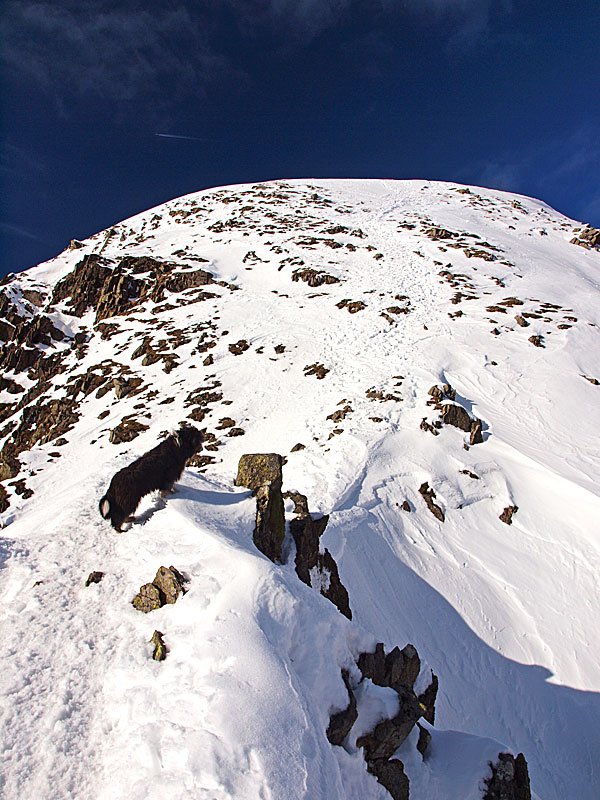
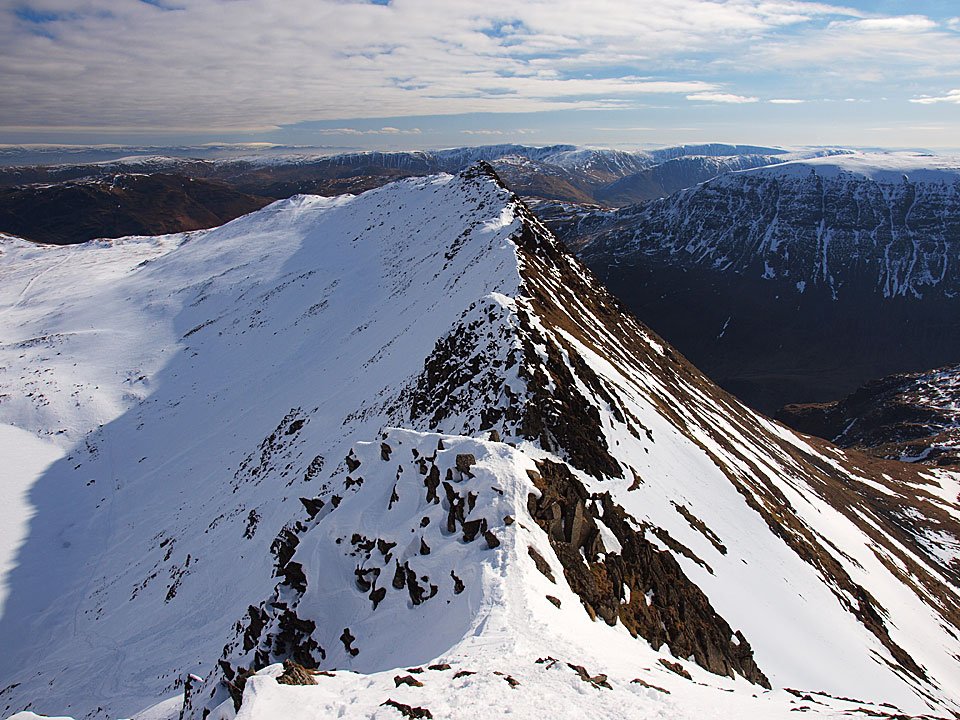
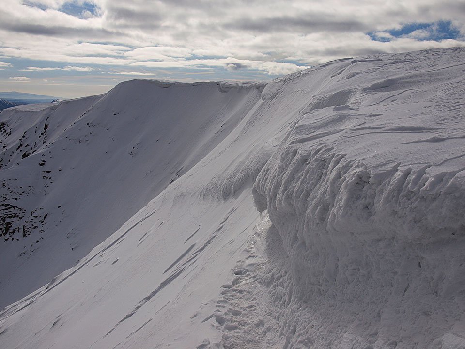
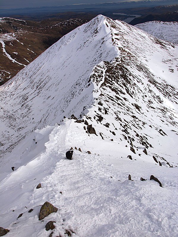
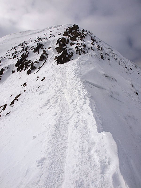
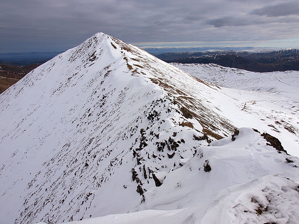
Striding Edge.

18.12.09-112

18.12.09-114

The Gough Memorial.

18.12.09-116

It looks like there is fire in the sky over there.

18.12.09-119

It was incredibly windy along the Helvellyn ridge and I had to really plant my feet firmly to keep still enough to get a photo.

18.12.09-123

Swirral Edge and Catstycam.

18.12.09-128

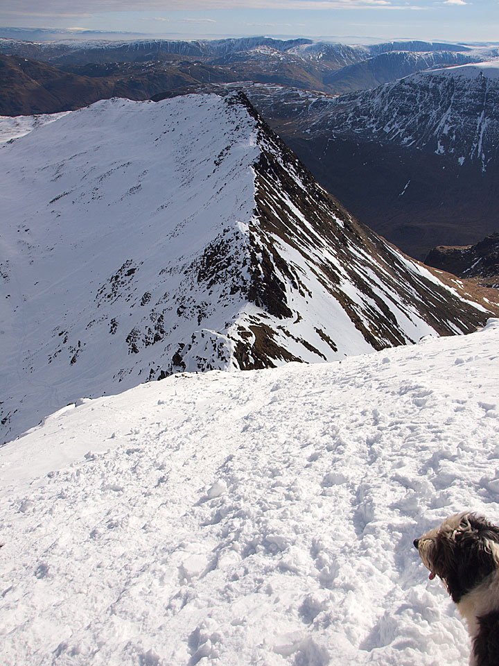
Striding Edge from further along the ridge.

18.12.09-131

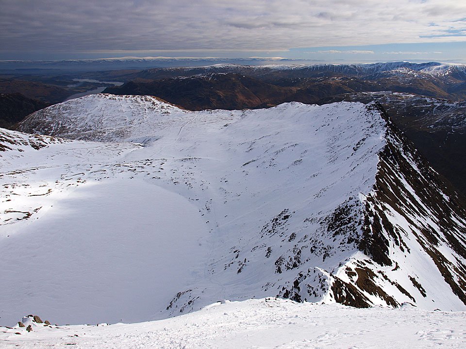
Looking to Ullswater over Birkhouse Moor and Red Tarn.

18.12.09-134

Wow!

18.12.09-137

Windermere and Coniston Water with Morecambe Bay beyond under a wonderful sky.

18.12.09-142

The cross shelter is frozen.

18.12.09-148

The sun appears through the clouds.

18.12.09-153

The Helvellyn summit ridge. As the sun was rising it became achingly gorgeous and absolutely wonderful to be here for this - well worth the effort of getting up early.

18.12.09-155

A cloud capped Raise.

18.12.09-157

Pink snow along Helvellyn summit with Skiddaw visible.

18.12.09-159

Looking back towards the cross shelter.

18.12.09-166

Casper braving the elements - you know he loves it.

18.12.09-169

Skiddaw and Blencathra beyond Raise.

18.12.09-171

The sun was starting to shine through now and it was turning into a fabulous sunrise with conditions constantly changing as the clouds were quickly blown through by the wind.

18.12.09-181

Skiddaw and Blencathra beyond White Side.

18.12.09-183

Simply beautiful.

18.12.09-186

Looking back along the summit.

18.12.09-188

Looks pretty cold to the east.

18.12.09-190

At the top of Swirral Edge.

18.12.09-194

Keppel Cove.

18.12.09-195

Pink cairn.

18.12.09-201

Sunshine and spindrift.

18.12.09-203

Helvellyn glory.

18.12.09-208

The summit. I stopped back at the cross shelter for more layers, another hat (yes, I wore two hats plus a fleece Buff!) and my 'big' gloves as my fingers were numb wearing ordinary gloves by this time. A look at the thermometer strapped to my bag showed the air temperature was -6C but with the wind chill it was even colder than that.

18.12.09-217

Departing Helvellyn (quickly!) and looking back to the shelter, the snow looks more like a desert in the morning sunshine.

18.12.09-220

The north western fells.

18.12.09-222

The route of return, Nethermost Pike up to the left.

18.12.09-230

Casper likes to live on the edge.

18.12.09-234

Pink Striding Edge.

18.12.09-240

Striding Edge from further along - gold and pink now.

18.12.09-262

Steel Fell in the foreground, the Coniston fells beyond.

18.12.09-266

Thirlmere from the descent.

18.12.09-267

Ullscarf across Thirlmere.

Stone Arthur

Walked on 14/12/2009

Start point: Grasmere (NY 339 082)

Grasmere – Alcock Tarn – Greenhead Gill – Stone Arthur – Grasmere

Distance: 3.2 miles    Total Ascent: 525 metres     Time Taken: 2 hours

Weather: Light drizzle at first, clearing. 3ºC

In complete contrast to the end of last week and the weekend, it was a drizzly start this morning for a walk up to Alcock Tarn and Stone Arthur. There is nothing we can do about the weather though and we have to accept whatever is thrown at us…but it would have been nice for the cold, calm and clear days to continue for a little while. The forecast shows a significant snow ‘event’ this week so hopefully it will all change for the good once more.

Stone Arthur

Stone Arthur route map.

14.12.09-017

First view of snowy Wetherlam through the trees.

14.12.09-024

Helm Crag and the snow capped central fells.

14.12.09-031

The cold climb to Alcock Tarn.

14.12.09-035

The Vale of Grasmere.

14.12.09-043

Sepia Stone Arthur and Great Rigg along Greenhead Gill.

14.12.09-046

Great Rigg across the boggy small tarn adjacent to Alcock Tarn.

14.12.09-051

Alcock Tarn.

14.12.09-058

The Langdale Pikes across the tarn.

14.12.09-065

Dougal tests the water.

14.12.09-093

I didn't expect to see this today - the sun!

14.12.09-094

Bright sunshine at the base of Helm Crag.

14.12.09-100

Descending to Greenhead Gill with the steep line of ascent up the fell side to the right.

14.12.09-104

Greenhead Gill.

14.12.09-110

Grasmere and the Coniston fells.

14.12.09-113

Grasmere from the top.

14.12.09-119

Casper and Dougal on Stone Arthur, Seat Sandal beyond.

14.12.09-129

Steel Fell.

14.12.09-130

The Langdale Pikes and Easedale Tarn.

14.12.09-136

Heron Pike and Alcock Tarn.

14.12.09-138

The ruin on Stone Arthur.

14.12.09-141

The summit of Stone Arthur.

14.12.09-146

The path back down to Grasmere.

14.12.09-156

Greenhead Gill.

Wansfell

Walked on 10/12/2009

Start point: Troutbeck (NY 409 032)

Troutbeck – Nanny Lane – Wansfell Pike – Wansfell – Baystones – The Hundreds – Nanny Lane – Troutbeck

Distance: 4 miles    Total Ascent: 345 metres     Time Taken: 1 hour 30 minutes

Weather: Cool and clear. 4ºC

As I headed towards Bowness alongside Windermere I could see the mist was hanging over the lake as so often happens on these cooler mornings and Coniston was similarly attired under mist too when I passed it earlier. I headed up to Wansfell under glorious sunshine for a great view of the lake and wasn’t disappointed – it was beautiful up there this morning, very quiet and tranquil.

Wansfell

Wansfell route map.

10.12.09-004

Troutbeck sunrise.

10.12.09-008

Nanny Lane has a lovely golden hue in the rising sun this morning.

10.12.09-019

The Hundreds - I turned off here to head up to Wansfell Pike but the route of return was along this lane.

10.12.09-021

Looking back along a gloriously sunny Nanny Lane.

10.12.09-024

This is the way for us today.

10.12.09-026

First glimpse of Windermere under the mist.

10.12.09-030

These two seem to be in a hurry to make it to the top.

10.12.09-035

Windermere inversion.

10.12.09-036

Bowness is under there somewhere, to the distant right is Gummer's How.

10.12.09-046

The western banks of Windermere.

10.12.09-048

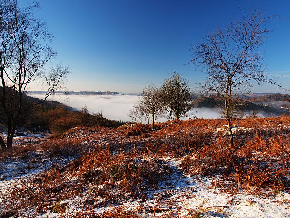
Trees float in a sea of fog.

10.12.09-050

All was quiet, tranquil and calm this morning.

10.12.09-056

Looking along Little Langdale, also has low lying mist along the River Brathay and there is a big plug of cloud over Wrynose Pass.

10.12.09-068

The stunning view from Wansfell Pike.

10.12.09-075

A magnificent panorama across to the Coniston fells to the Langdale Pikes.

10.12.09-080

Red Screes and Caudale Moor.

10.12.09-083

I could sit here all day if it would last.

10.12.09-085

'What are you doing?' wonders Dougal.

10.12.09-091

Wansfell Pike summit.

10.12.09-096

The wall heading to Wansfell.

10.12.09-097

Looking back to Wansfell Pike from the walk along the ridge.

10.12.09-104

Following the great wall of Wansfell...

10.12.09-107

...and back again.

10.12.09-109

The path to Wansfell, the cairn visible towards the top left.

10.12.09-113

Wansfell Pike from Wansfell.

10.12.09-122

Casper and Dougal looking golden in the early sunshine.

10.12.09-128

The far eastern fells from Wansfell.

10.12.09-134

Thornthwaite Crag, Froswick and Ill Bell from Baystones - over the wall from Wansfell.

10.12.09-151

Belle Isle puts in an appearance through the mist.

10.12.09-156

A plaque on the wall from Wansfell - a good job done too.

10.12.09-167

Yoke, Ill Bell and Froswick from Nanny Lane.

10.12.09-169

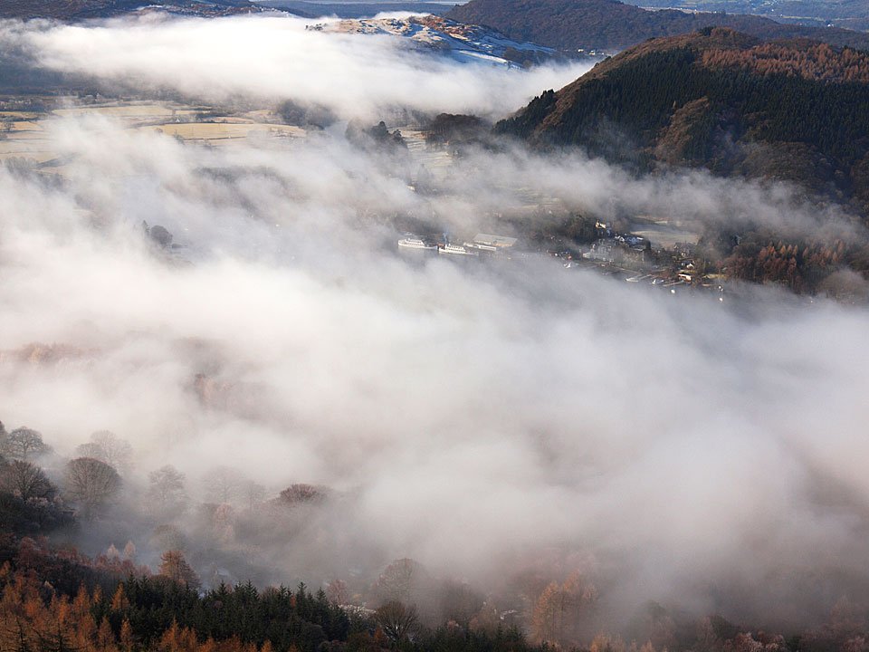
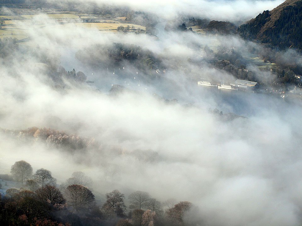
Troutbeck. Meanwhile, the mist was still hanging over Windermere back down in Bowness...

10.12.09-172

Bowness from Queen Adelaide's Hill.

10.12.09-176

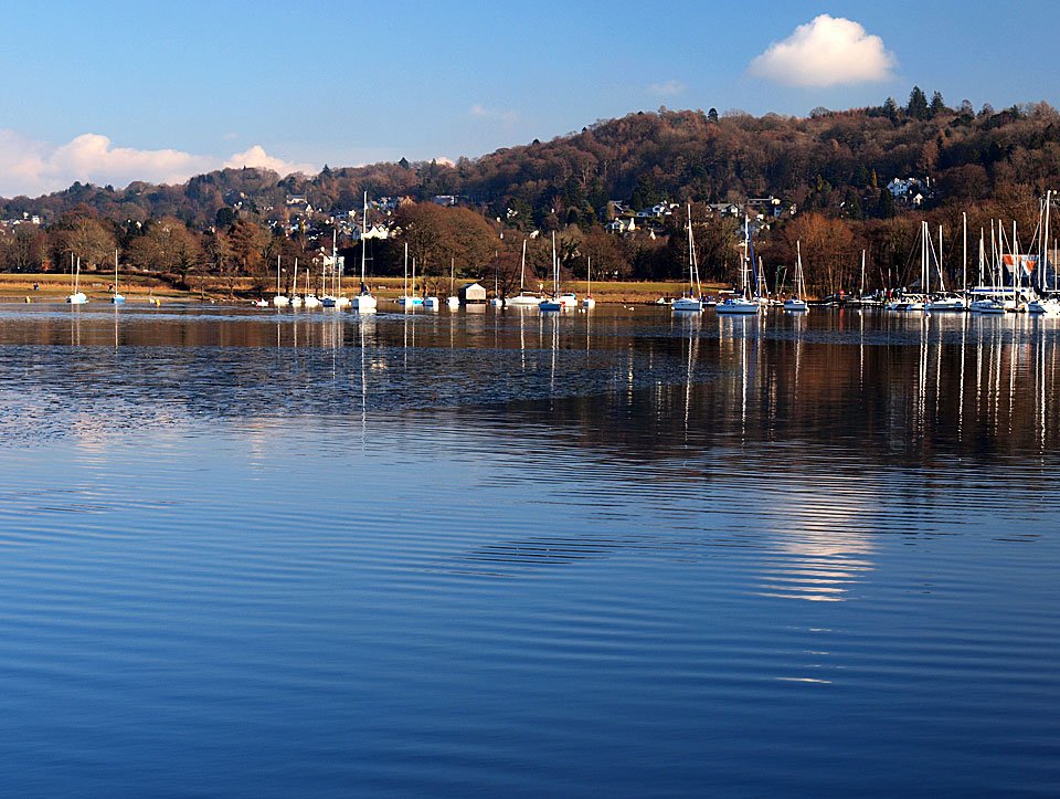
Looking across Windermere to Claife Heights.

10.12.09-179

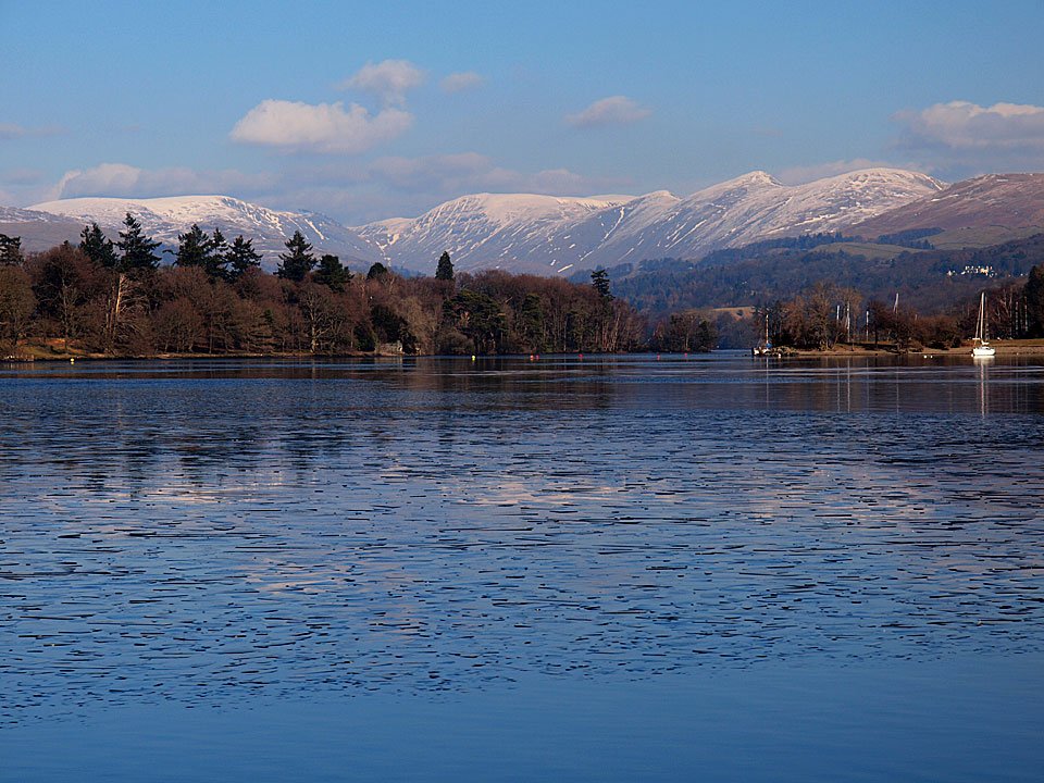
Beautiful across Meregarth to the Fairfield fells.

10.12.09-183

Crinkle Crags, Bowfell and the Langdale Pikes reflected in Windermere.

10.12.09-184

Queen Adelaide's Hill.

10.12.09-185

Windermere from Biskey Howe.

Glenamara Park

Walked on 08/12/2009

Start point: Patterdale (NY 394 160)

Patterdale – Thornhow End – Black Crag  – Birks – Trough Head – Arnison Crag – Patterdale Hotel – Patterdale

Distance: 3.7 miles    Total Ascent: 515 metres     Time Taken: 1 hour 30 minutes

Weather: Changeable but dry. 7ºC

Today was another ‘Dougal length’ walk as I am mindful that he is still only a pup and we can’t go too far just yet, eager though he may be! We had a walk around Glenamara Park taking in Birks and Arnison Crag and the weather started off clear enough but there were soon ominous looking clouds around blown in by the strong wind which proved to be a real cold blast.

Glenamara Park

Glenamara Park route map.

08.12.09-011

Thornhow End from the foot of the climb.

08.12.09-012

The first view of Ullswater from the climb through the trees.

08.12.09-013

Place Fell is on fire.

08.12.09-015

The view to Glenridding and Ullswater from the climb.

08.12.09-017

Ullswater with Great Mell Fell and Gowbarrow Park beyond.

08.12.09-018

Place Fell across Patterdale.

08.12.09-019

High Spying How - the start of Striding Edge - and Birkhouse Moor across Grisedale.

08.12.09-023

The sun is trying to burn through the clouds looking across to Arnison Crag.

08.12.09-026

The boys take an alternative path on this steep section.

08.12.09-028

Bleaberry Crags and the wall of 'Hole-in-the-Wall' fame with the pointed Catstycam in view.

08.12.09-039

Ullswater and Place Fell from the start of the Birks summit plateau.

08.12.09-041

I think Dougal and Casper are playing 'catch one kiss one' on the way to Birks summit!

08.12.09-053

Birks with Saint Sunday Crag covered in ominous looking clouds behind.

08.12.09-056

Nethermost Pike and Helvellyn are under there somewhere.

08.12.09-061

There is an arctic blast and heavy clouds now at the start of the descent towards Arnison Crag, here looking across to Hartsop.

08.12.09-067

Arnison Crag from the steep descent alongside the wall. I left it at the bottom right corner to follow the top of the ridge.

08.12.09-069

Ullswater from Trough Head.

08.12.09-071

Looking back to Gavel Pike and Saint Sunday Crag.

08.12.09-074

Birks and the wall.

08.12.09-076

Arnison Crag ahead, Place Fell beyond.

08.12.09-081

A bit of sunshine again over Hartsop Dodd.

08.12.09-085

Birks from Arnison Crag.

08.12.09-095

'Tonight Matthew I'm going to be Angus'. Dougal does a good impression of the old boy in the strong wind.

08.12.09-102

Dougal and Casper on Arnison Crag.

08.12.09-107

You can see how strong the wind is now by the ripples on Ullswater.

08.12.09-108

Hartsop from Arnison Crag.

08.12.09-114

Descending alongside the wall.

08.12.09-116

Glenridding and Glenridding Dodd.

Red Screes

Walked on 04/12/2009

Start point: Kirkstone Pass (NY 401 080)

Red Screes from Kirkstone Pass

Distance: 1.4 miles     Total Ascent: 330 metres     Time Taken: 1 hour

Weather: Cold and overcast. 2ºC

The brighter weather seemed to be to the east today though I never managed to quite catch it. Down in Bowness it was lovely and sunny but on the higher ground it was a different story, all frozen and cold. I had a look at Kilnshaw Chimney but knew it would be too much for Dougal at the moment – we did manage to catch it a bit higher up and crossed over it. These ‘in between’ sort of conditions are quite treacherous with the bare rock being very slippery with lots of ice. On the way down someone gave me a five minute lecture about the dangers of fell walking in winter and how treacherous it was, so thanks for that – I must have looked like a newcomer to the fells!

Red Screes

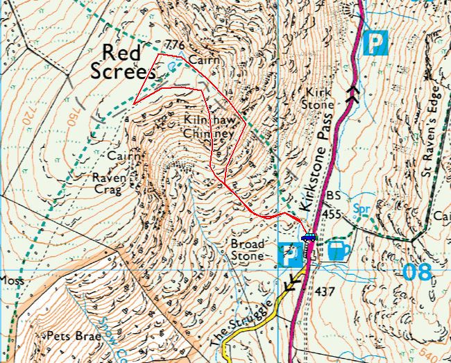
Red Screes route map.

04.12.09-003

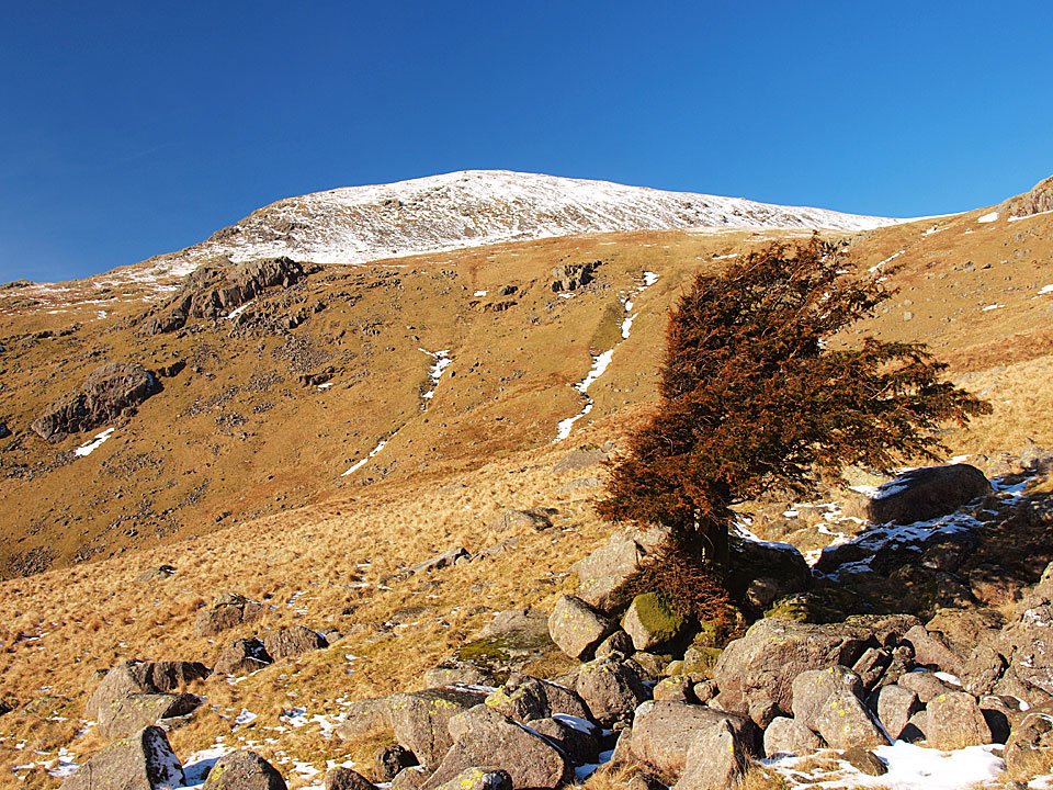
Red Screes from the top of Kirkstone Pass. Kilnshaw Chimney is the white band running down the centre - I had a look but it would be too much for Dougal at the moment.

04.12.09-004

Sunrise over the Kirkstone Pass Inn.

04.12.09-010

Casper sorts out a route for us!

04.12.09-039

Crossing one of the scree gullys.

04.12.09-048

Kilnshaw Chimney.

04.12.09-053

Red scree on Red Screes.

04.12.09-055

Cloud and sun.

04.12.09-064

The cold looking summit of Red Screes.

04.12.09-065

Casper sets up camp in the wind shelter on the summit, the frozen tarn and Windermere in view.

04.12.09-067

Middle Dodd and Brothers Water from the summit.

04.12.09-073

Casper and Dougal hang on for dear life.

04.12.09-076

The view thought the low cloud to Place Fell. Looks like Dougal is taking shelter over there.

04.12.09-079

The frozen Red Screes Tarn and summit.

04.12.09-081

Windermere glowing in the distance.

04.12.09-087

Froswick and Ill Bell.

04.12.09-096

A ray of sunshine over Wansfell.

04.12.09-098

Raven Crag...brr!

04.12.09-104

Dougal and Casper check the route back.

Hard Knott

Walked on 01/12/2009

Start point: Cockley Beck (NY 246 017)

Cockley Beck – Moasdale – Hard Knott – Cockley Beck

Distance: 3.9 miles     Total Ascent: 319 metres     Time Taken: 2 hours

Weather: Cold and overcast. 0ºC

It was even colder today than yesterday, mainly because the sun never came out at all so temperatures struggled to get above freezing. Up on the top of Hard Knott there was a strong icy blast and definitely more than a hint of more snow to come.

Hard-Knott

Hard Knott route map.

01.12.09-023

Moasdale Beck and Little Stand.

01.12.09-029

Looking in the opposite direction towards Grey Friar.

01.12.09-034

Grey Friar from further along Moasdale with the weak winter sun trying to burn through.

01.12.09-036

The frozen path to the Scafells.

Scafells_s

A panoramic view of the Scafells.

01.12.09-046

Scafell Pike, Broad Crag and Ill Crag.

01.12.09-049

Bowfell.

01.12.09-051

Long Top, Crinkle Crags.

01.12.09-066

Scafell Pike with the darker subsidiary summit of Pen in the right centre.

01.12.09-067

Winter on Scafell.

01.12.09-071

Esk Pike and Bowfell.

01.12.09-076

'What are we doing dad?'. I don't know about you Dougal, but I'm putting my jacket on - it's flipping freezing that wind.

01.12.09-084

Bowfell and Crinkle Crags from the climb to Hard Knott.

01.12.09-086

Frozen Scafells.

01.12.09-090

Frozen Scafells.

01.12.09-111

Dougal and Casper on Hard Knott.

01.12.09-114

This cap of cloud was building up from the south over the Coniston fells but that sun is still failing to get through.

01.12.09-117

Brrr!

01.12.09-120

Harter Fell from the summit of Hard Knott.

01.12.09-132

A portrait of Dougal.

01.12.09-134

In the blink of an eye, the cloud was building over the Scafells too.

01.12.09-144

The Duddon valley from the descent, crossing a river of boulders.

01.12.09-145

Harter Fell and the road to Hard Knott Pass, the steepest in England.

01.12.09-146

Wrynose Pass.

Yewbarrow

Walked on 30/11/2009

Start point: Overbeck Bridge (NY 168 068)

Overbeck Bridge – Bell Rib – Great Door – Yewbarrow (South Top) – Yewbarrow (North Top) – Dore Head – Over Beck – Overbeck Bridge

Distance: 3.9 miles     Total Ascent: 580 metres     Time Taken: 2 hours 30 minutes

Weather: Clear with long sunny spells. 3oC

Firstly, an apology to regular viewers about the length of time taken for the site to load over the last week or so. This has been caused by the number of hits received from people looking at the flood photos. Hopefully things have calmed down a bit now and the site should be back to normal.

Things have turned decidedly colder over the weekend with many of the fells having a snow cap on them now. I headed to Wasdale for a walk over Yewbarrow but there wasn’t much snow around up there, just a sprinkling really. It was mighty cold though and temperatures are set to plummet further overnight so perhaps winter has finally arrived.

Yewbarrow

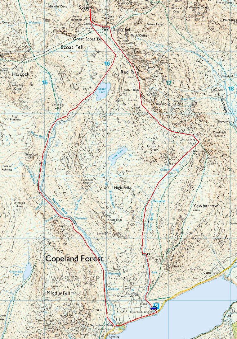
Yewbarrow route map.

30.11.09-015

A cold looking view over to the Scafells for Dougal on the start of the climb to Yewbarrow.

30.11.09-018

Wast Water.

30.11.09-021

To the west the sky seems to be clearing and it looks promising in the steep climb to Yewbarrow too.

30.11.09-027

Middle Fell over Bowderdale.

30.11.09-037

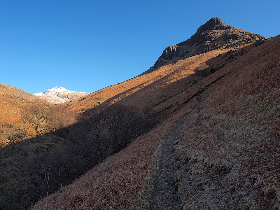
Red Pike is in the distance but we are heading up to the right towards Great Door of Yewbarrow.

30.11.09-047

The cleft of Great Door.

30.11.09-056

Lingmell, Scafell Pike and Scafell.

30.11.09-059

Middle fell and Seatallan beyond Great Door.

30.11.09-061

Seatallan with Caw Fell and Haycock with a cap of cloud.

30.11.09-074

Kirk Fell and Great Gable from the first cairn on the ridge.

30.11.09-080

It was icy up here today and the strong wind was raw.

30.11.09-088

An icy view to Great Gable.

30.11.09-092

Pillar and Yewbarrow summit.

30.11.09-095

The summit of Yewbarrow.

30.11.09-098

The Scafells from the summit.

30.11.09-108

The head of Mosedale.

30.11.09-112

More iciness.

30.11.09-121

Kirk and Gable - sounds like a TV cop series.

30.11.09-130

Hair raising! Dougally doo braves the arctic blast and finds out why he has all that hair.

30.11.09-145

Casper on Yewbarrow, Red Pike beyond.

30.11.09-147

Red Pike.

30.11.09-149

Ominous, snow laden clouds over Pillar from the highest North Top of Yewbarrow looking to the cairned North Top.

30.11.09-157

Red Pike and Scoat Fell.

30.11.09-161

Casper and Dougal wonder where Dougal's other ear has gone.

30.11.09-168

Kirk Fell and Great Gable.

30.11.09-170

Wasdale Head.

30.11.09-176

The Lion King surveys his kingdom over Dore head to Red Pike.

30.11.09-178

Mosedale with a great pyramidal shadow of Yewbarrow.

30.11.09-181

Mosedale and Kirk Fell.

30.11.09-192

Snow capped Great Gable.

30.11.09-212

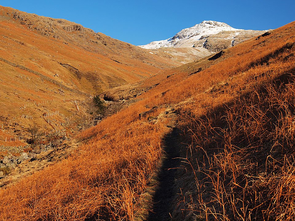
Red Pike from the descent of Over Beck.

30.11.09-215

Over Beck cascades. Last time I was here I swam in this pool, no chance of that today.

30.11.09-231

Red Pike along Over Beck.

30.11.09-237

Wasdale view.

30.11.09-239

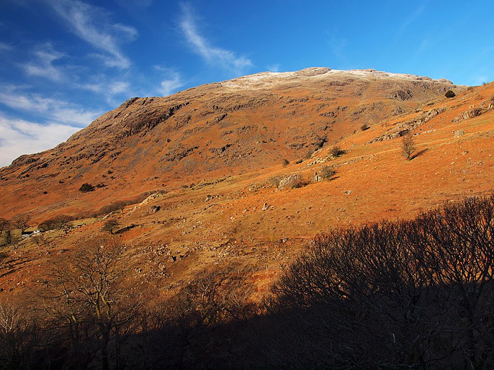
Yewbarrow.

  • « Previous Page
  • 1
  • …
  • 19
  • 20
  • 21
  • 22
  • 23
  • …
  • 53
  • Next Page »
Walking Diary

  • Devoke Water 25/08/2025
  • Torver Common 24/08/2025
  • Meet Finlay! 23/08/2025
  • Walla Crag 27/03/2025
  • Bowfell 19/03/2025

Social

  • Facebook
  • Twitter

Information

  • Striding Edge
  • T&C’s
  • Privacy
  • Links