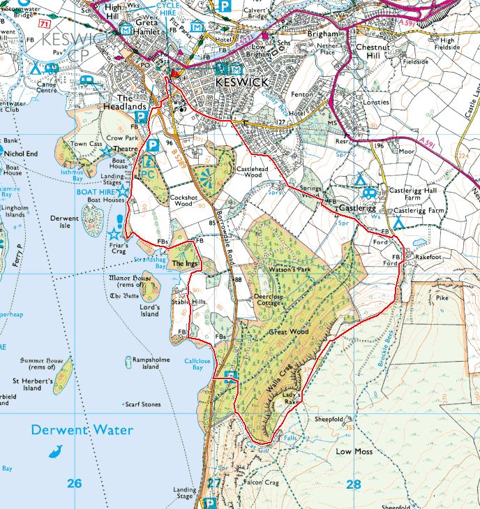
Start point: Love the Lakes, Keswick (NY 266 233)
Love the Lakes, Keswick – Springs Road – Springs Wood – Rakefoot – Walla Crag – Derwent Water – Love the Lakes, Keswick
Distance: 4.9 miles Total Ascent: 322 metres Time Taken: 2 hours Start Time: 10:00
Weather: Overcast but warm. 17°C
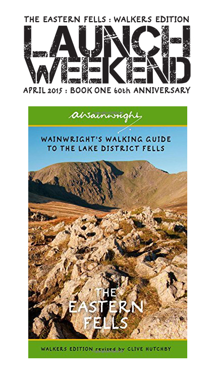
Today I took the opportunity for a relatively quick walk from Keswick (in between shop stock deliveries!) up to Walla Crag. Although dull to start with, the weather was ever improving throughout the walk. This walk will feature in a future edition of Trail magazine.

A lovely view across Windermere on the way to Keswick.

Blencathra from the climb to Walla Crag.

Skiddaw and Keswick from the plateau.

Lots of heather in bloom.

Looking towards Bassenthwaite Lake.

Dougal and Fletcher in the Ling.

Derwent Water.

Two youngsters try and work out the fells in view.

Bleaberry Fell clad in purple.

The Cat Gill descent.

Catbells.

The Millennium Stone.

Fletcher works out how he can get the two halves together.

Friar's Crag.

Clearing skies.