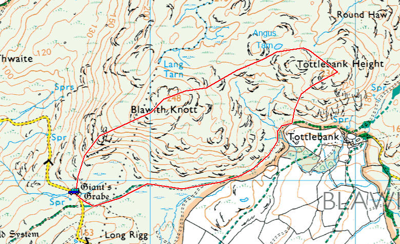
Start point: Woodland Fell road (SD 256 879)
Blawith Knott (OF) from the Woodland Fell road
Start Time: 16:30 Weather: Sunny spells. 7C
There was a chance of a quick walk with the boys to Blawith Knott on this Good Friday afternoon, thankfully the weather cleared a little after a completely miserable day. Although still quite overcast, there was the odd glimmer light…

Black Combe from Giant's Grave.

Brighter skies over Millom.

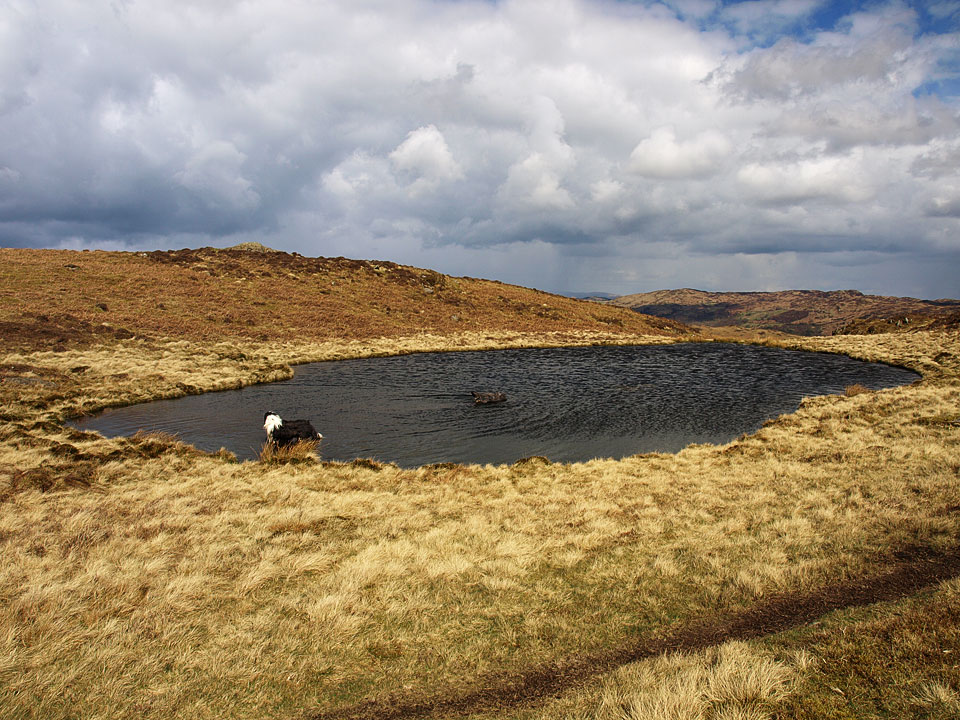
Dougal and Fletcher.

A hole in the sky.

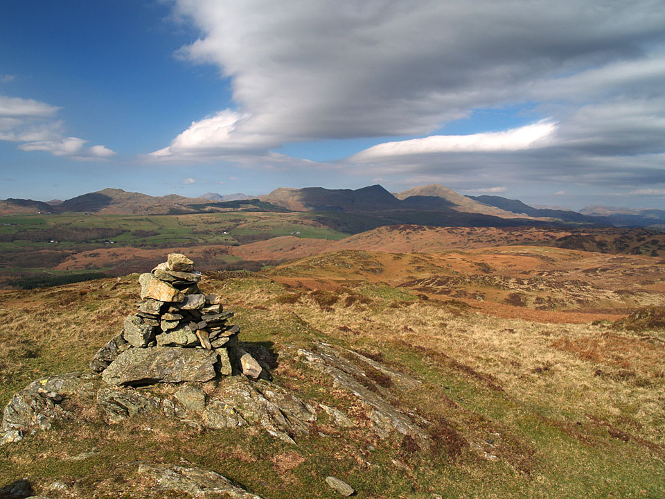
Dark and brooding sky looking across to the Coniston fells.

Snuggling up on the summit.

Blawith Knott.

Piercing shafts of light.

The Duddon Estuary.